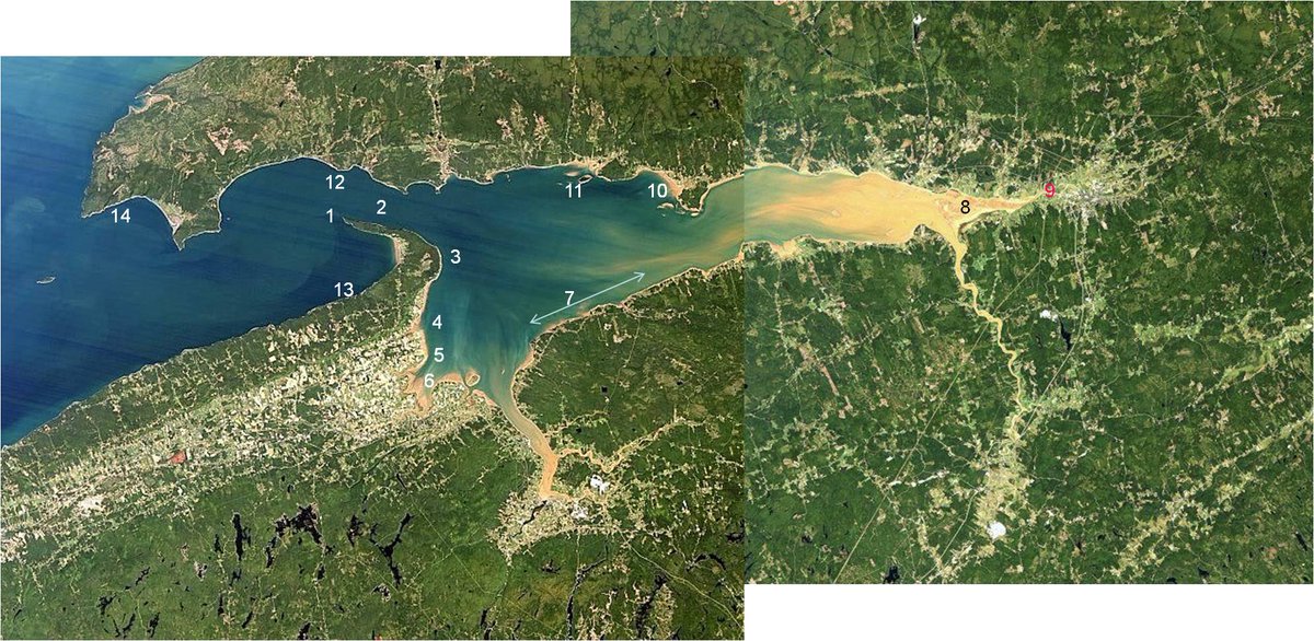
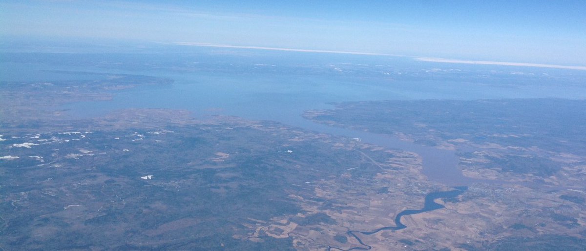
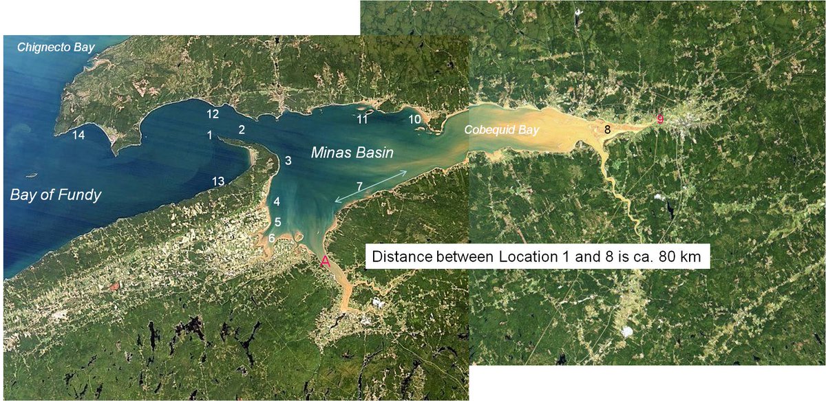
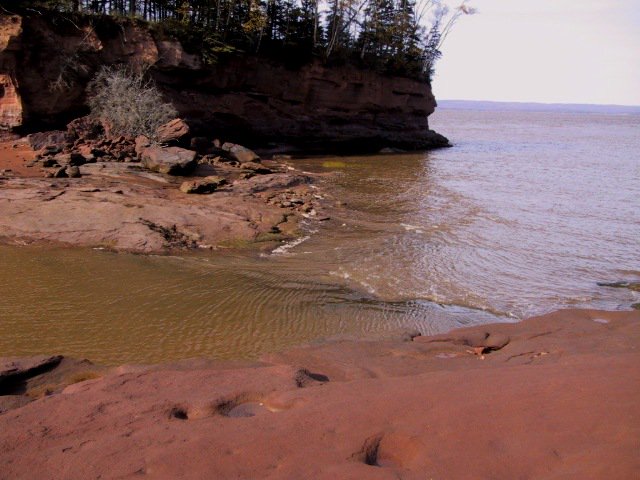
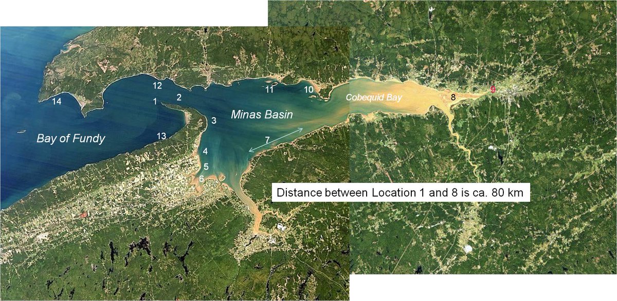
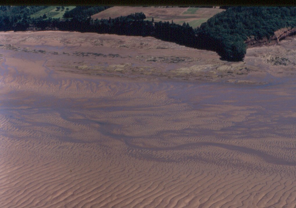
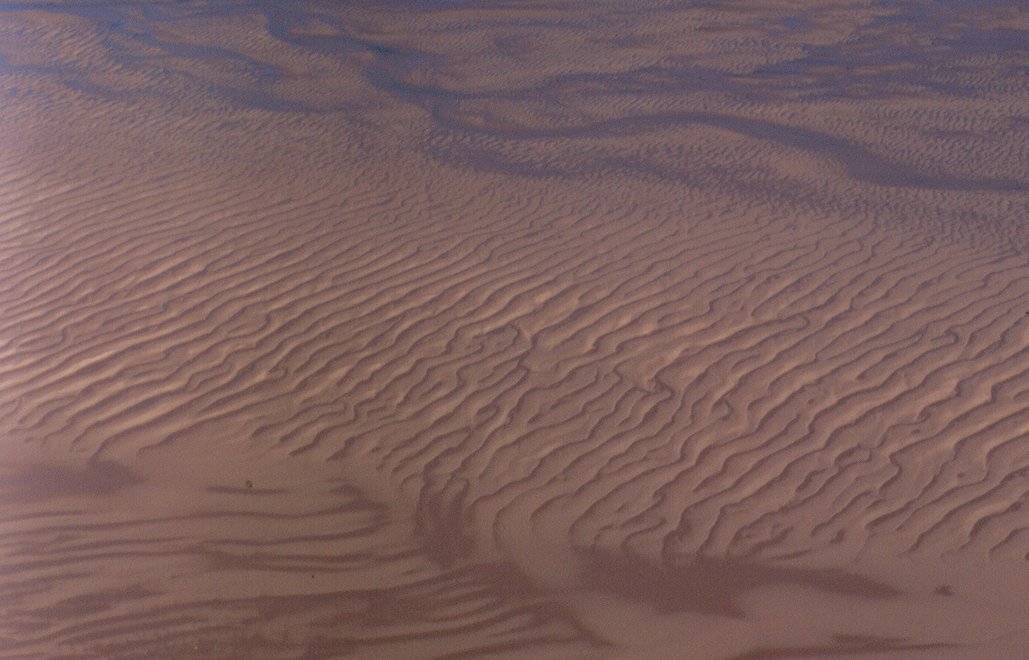
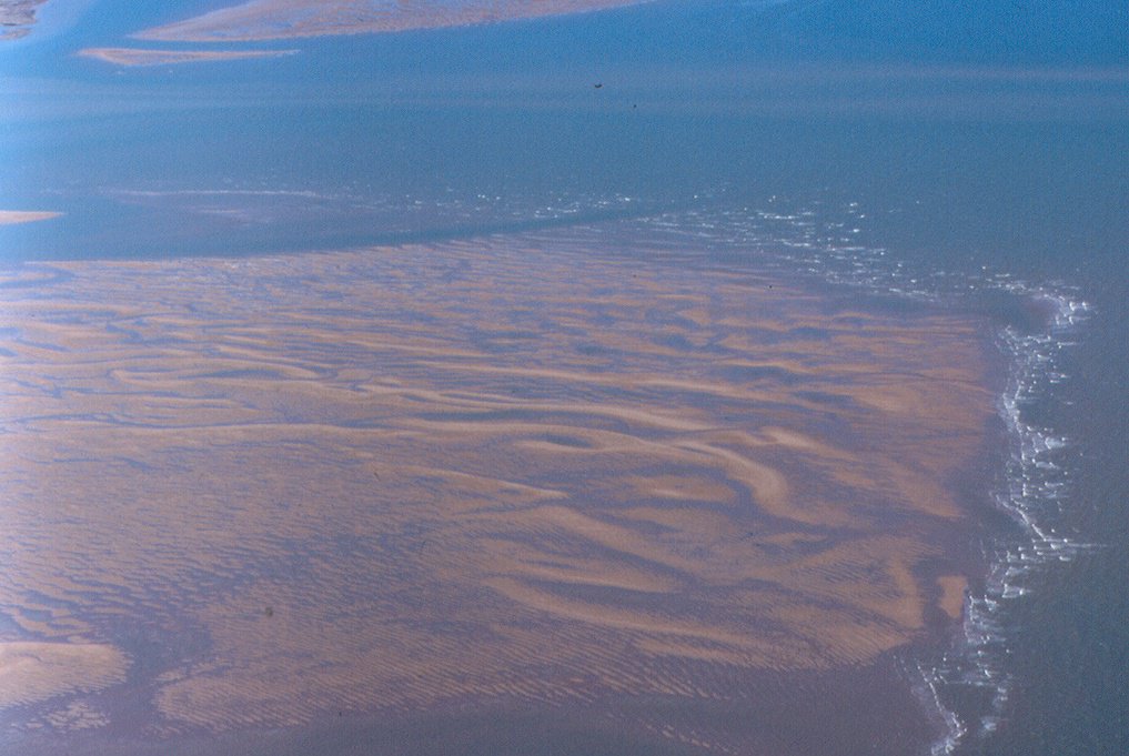
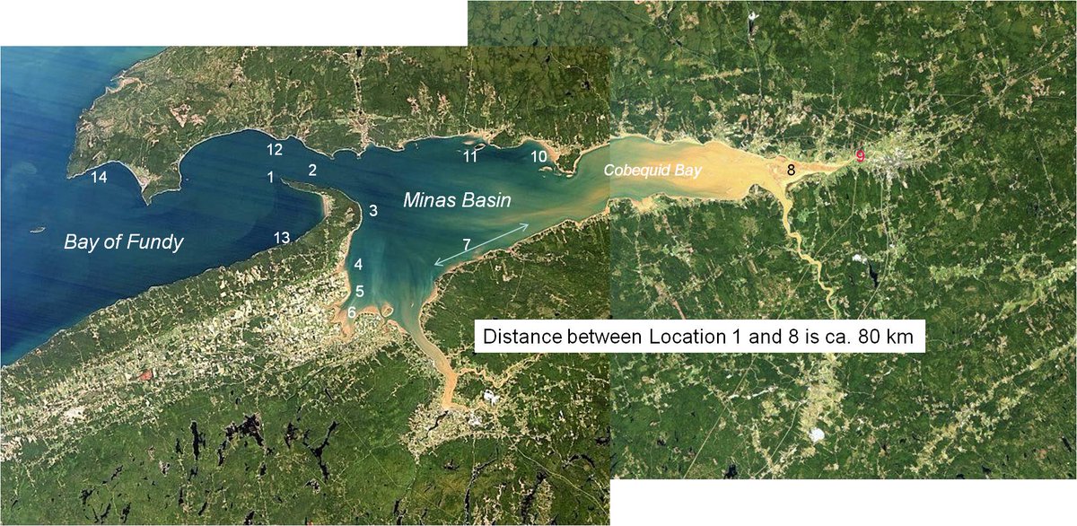
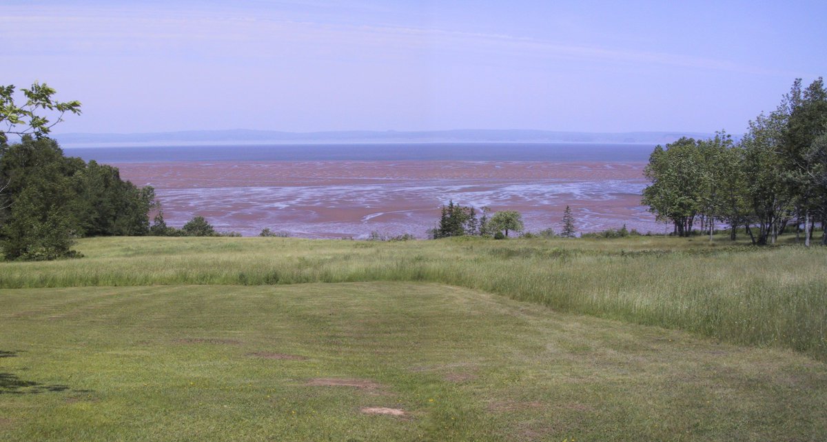
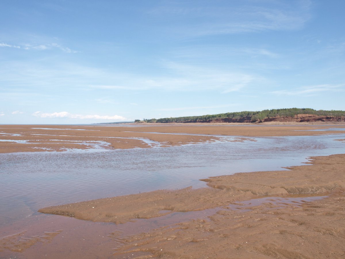
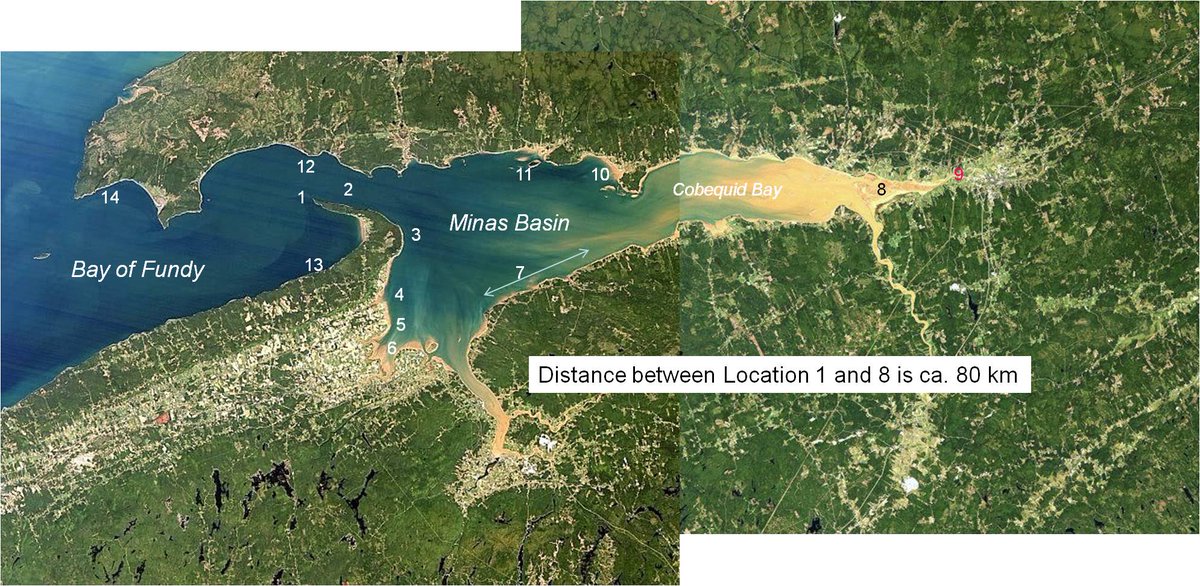
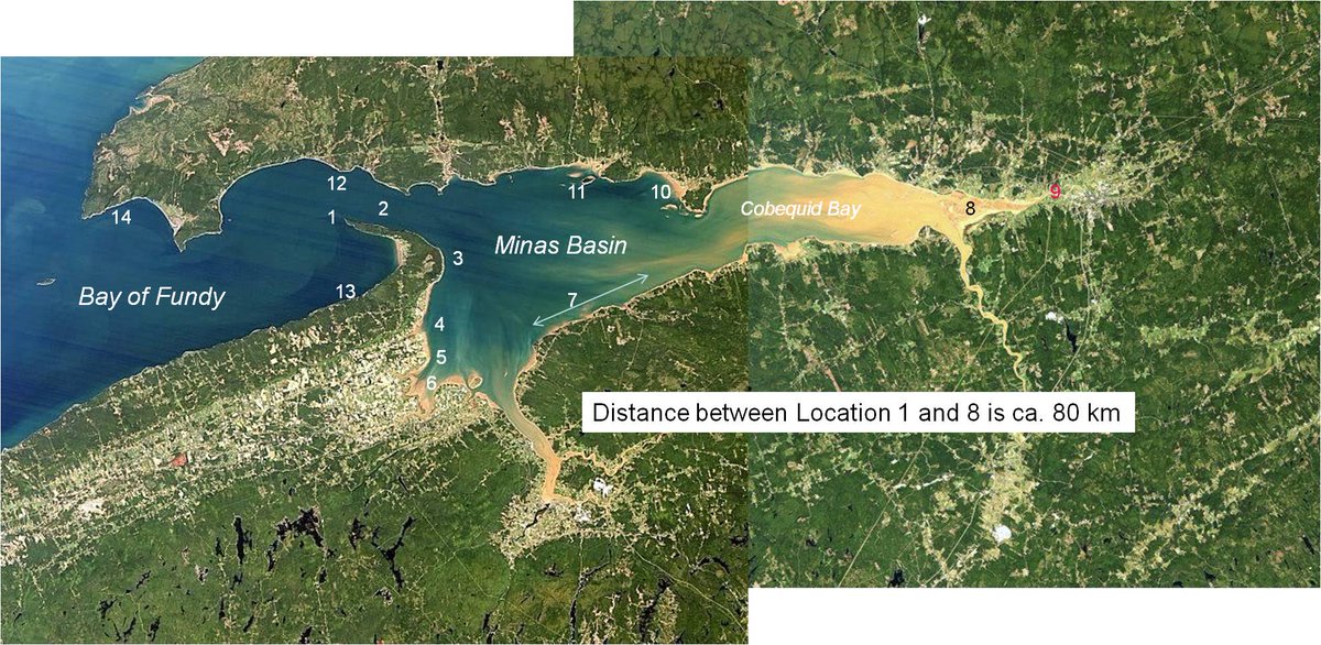
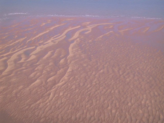
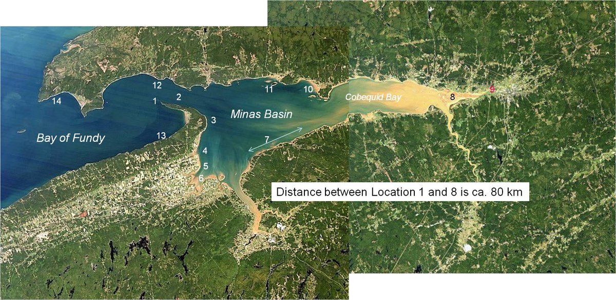
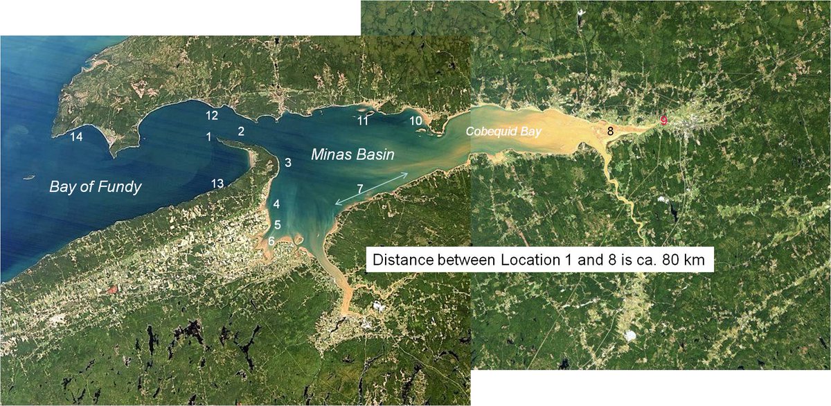
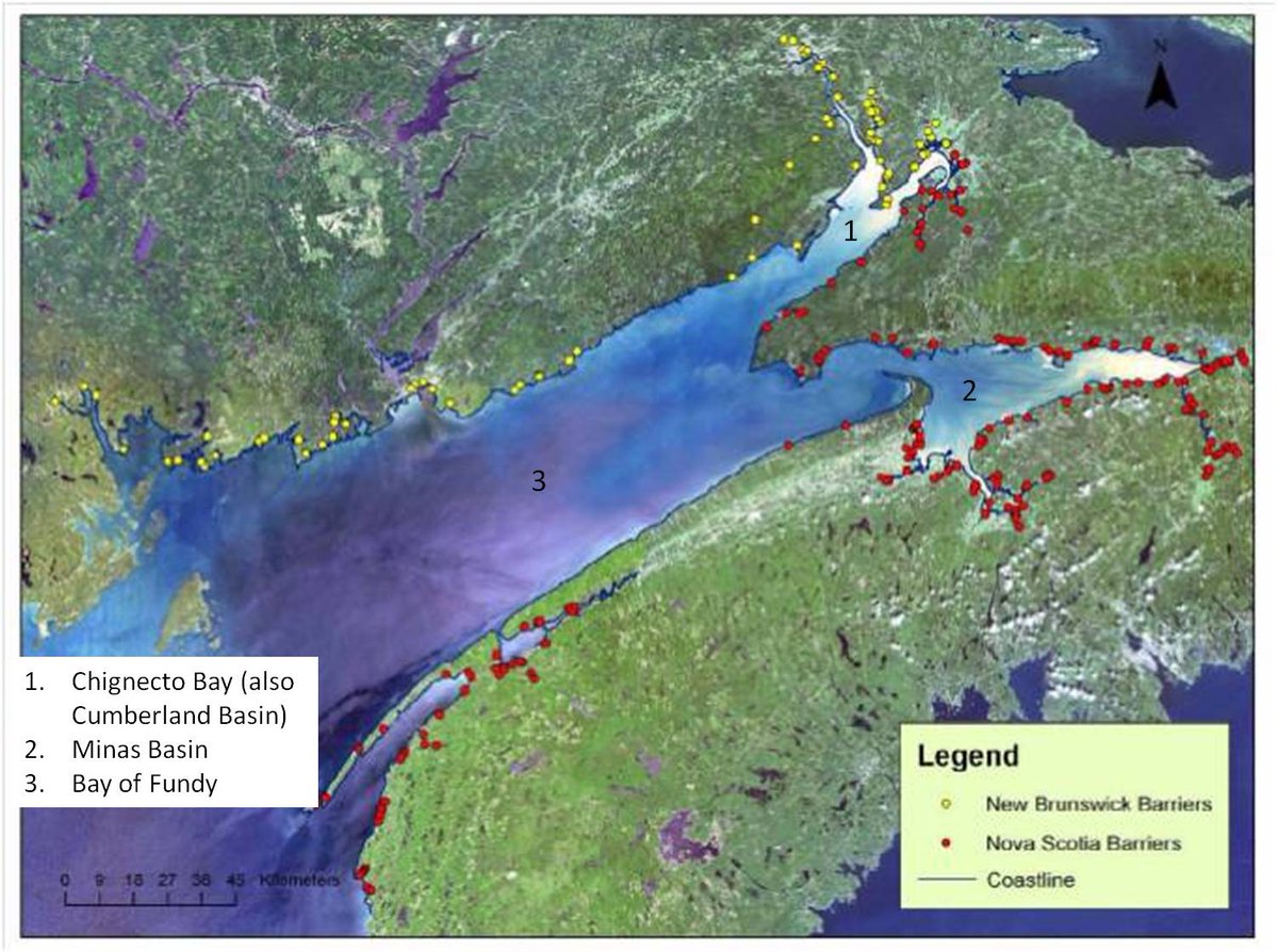
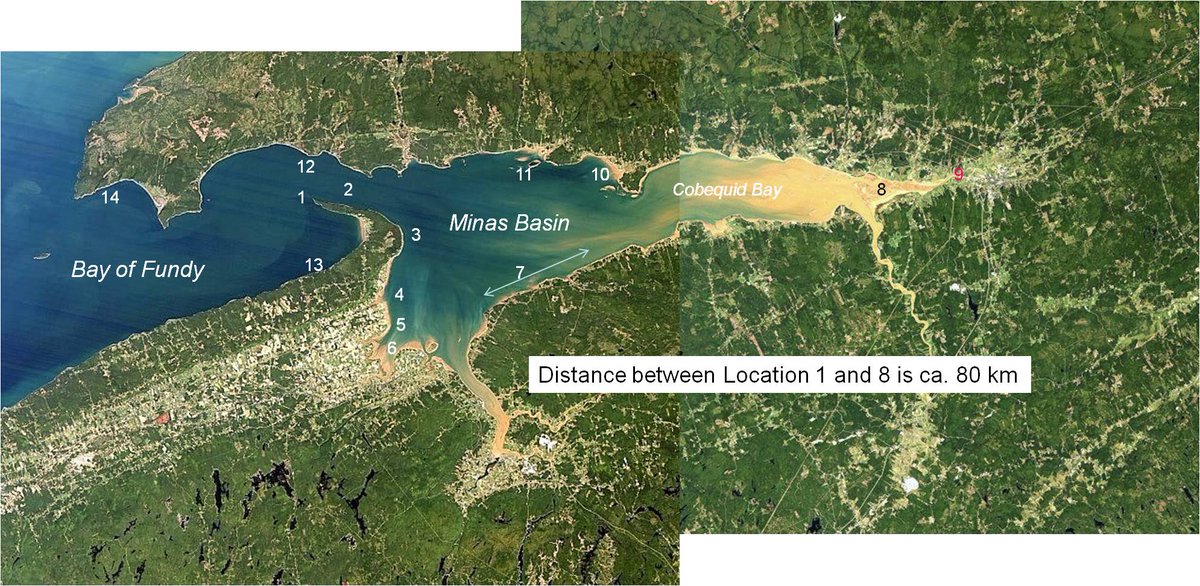
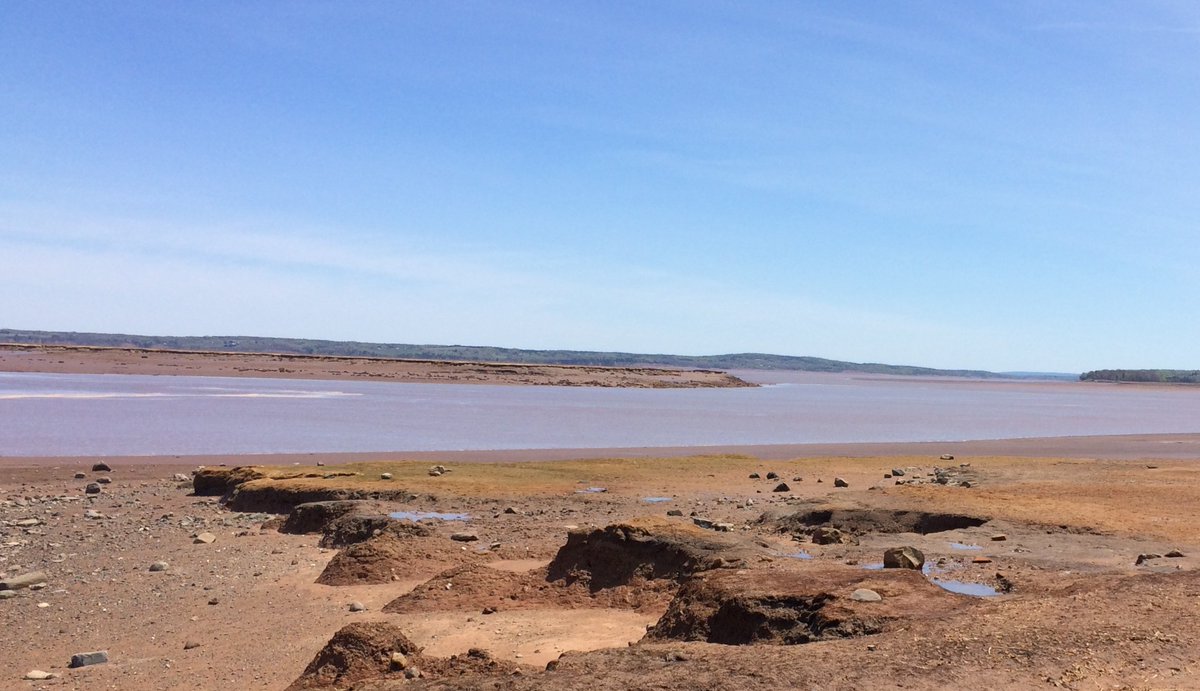
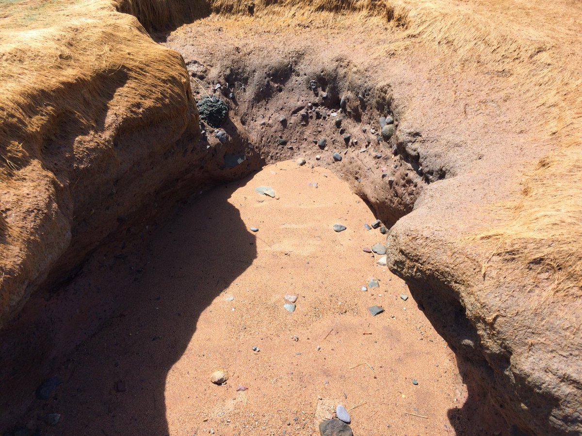
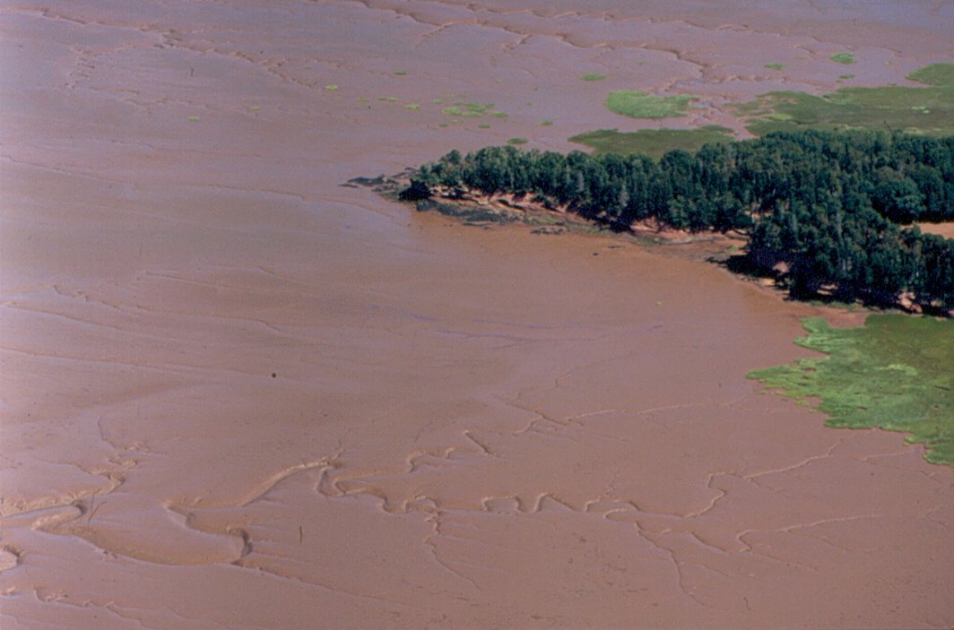
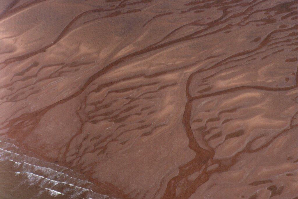
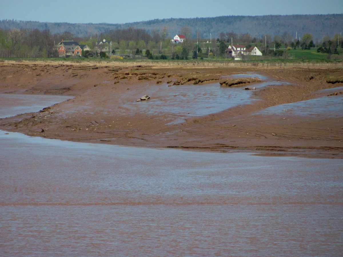
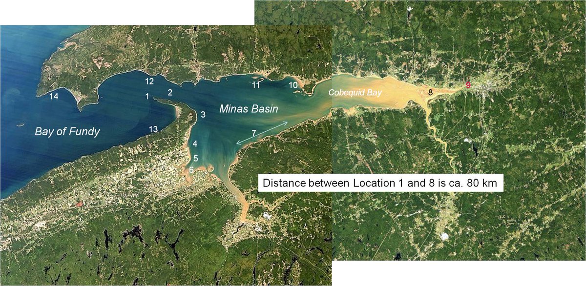
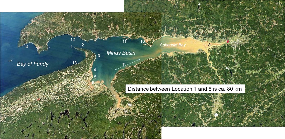
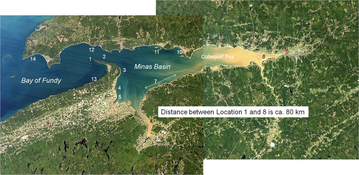
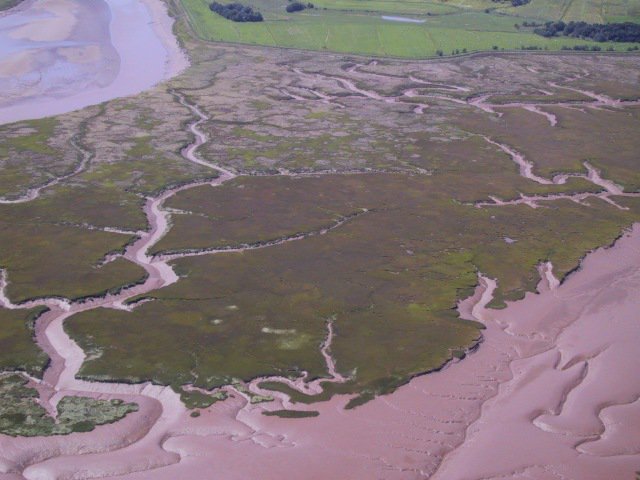
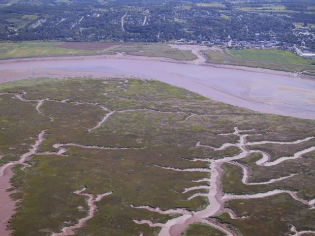
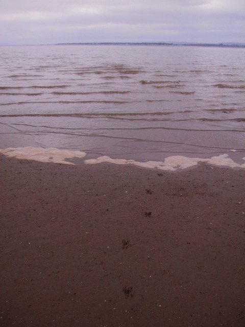
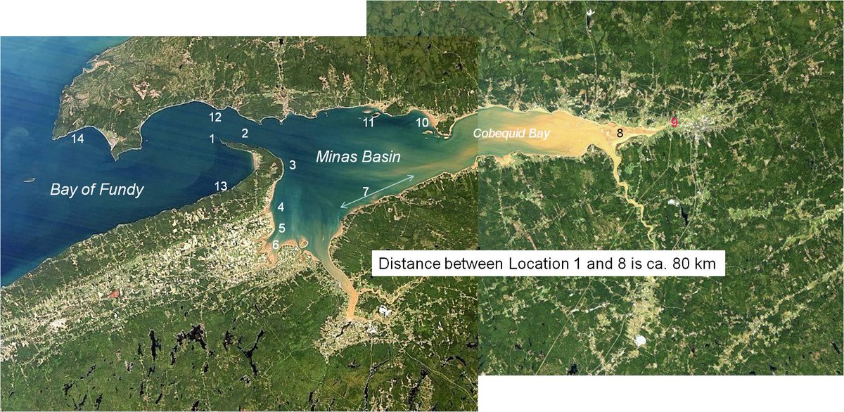
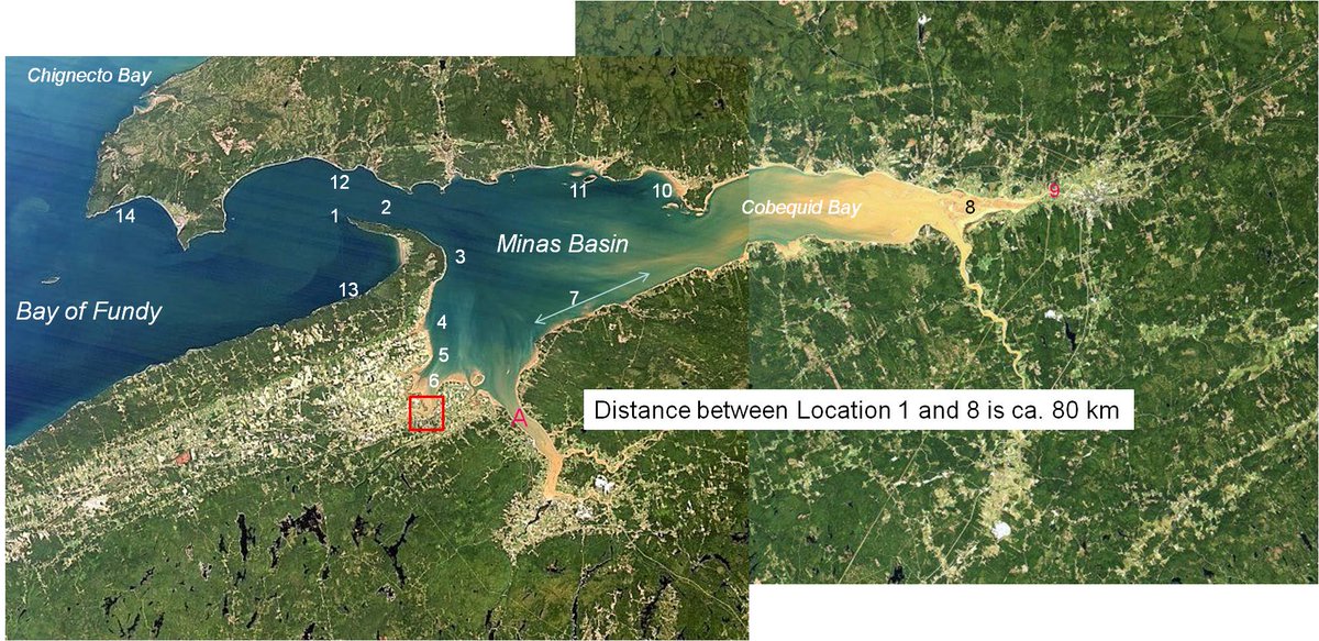
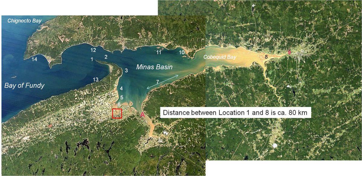
This #EarthDay2018 I start a series of pics of Minas Basin, an estuary with the world& #39;s highest recorded tides, part of the Bay of Fundy in #NovaScotia. Pics are from my perspective as #IAMAGeoscientist. I& #39;ll use hashtag #MinasBasinTidal. Today a location map & aerial shot. 1/n
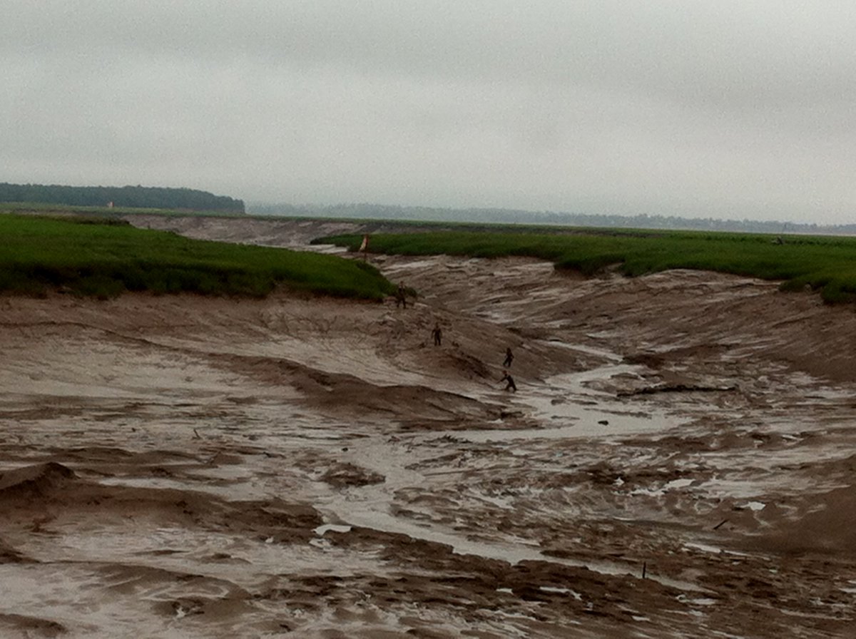
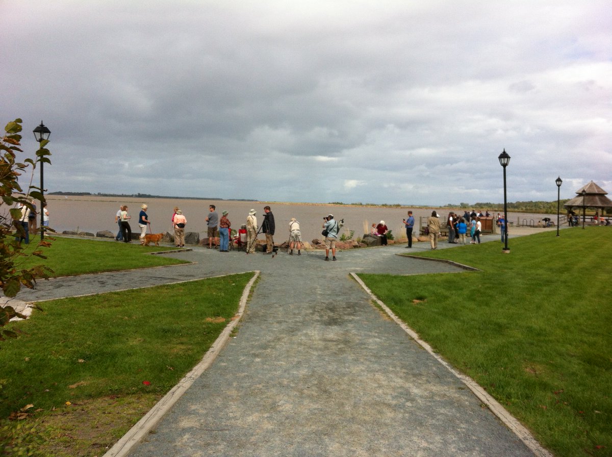
Two views of @TownOfWolfville Harbour (south of Location 6): 1. mud crawling students at low tide; 2. a crowd gathering to see the highest high tide in 18 yrs (Sept 29, 2015) at the wharf from which pic 1 was taken. This is the muddiest part of the basin. #MinasBasinTidal 2/n
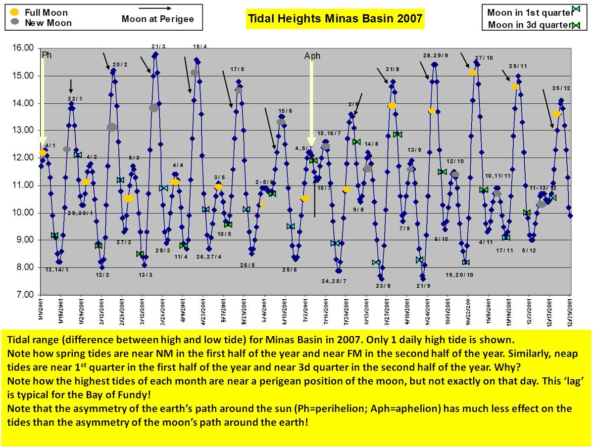
Extreme tides of the Bay of Fundy are caused by resonance betwn amplitude of the bay & the tidal wave. Lowest high tide range is <8m, highest >16m! Variation mostly caused by Earth-Moon gravity interaction. Minas Basin opening is only 4 km wide (loc 1-12). #MinasBasinTidal
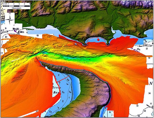
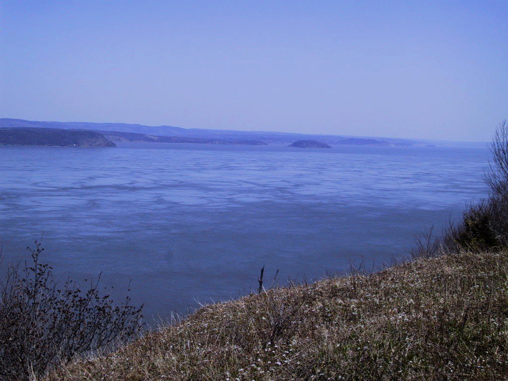
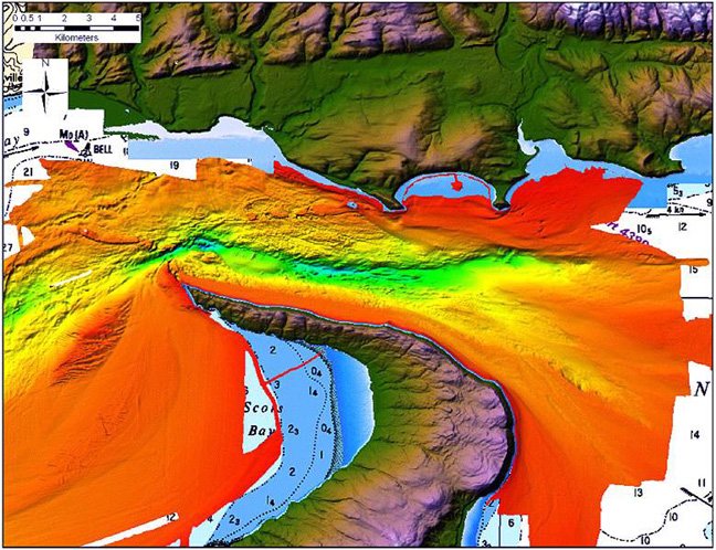
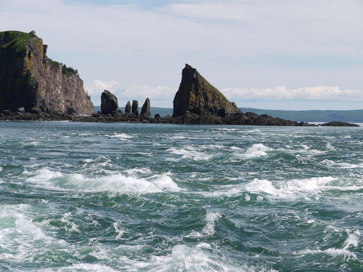
The entrance to Minas Basin is a deeply scoured channel (L pic GSC). At mid-tide (R pic), the current is ca. 4 cubic km/hr, the same as the flow of all of Earth& #39;s great rivers combined. 14 billion tons of seawater flow into Minas Basin with each incoming tide. #MinasBasinTidal.
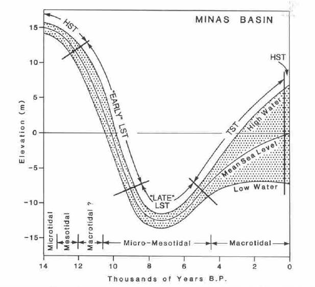
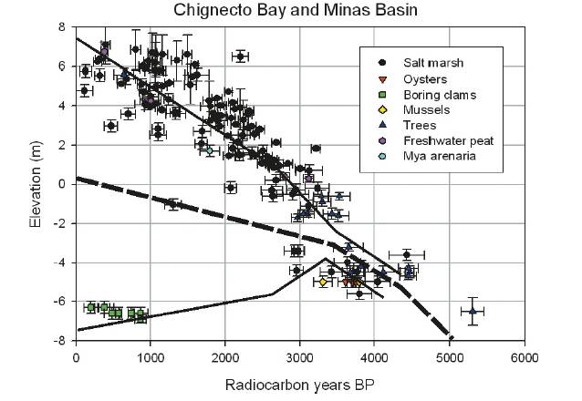
When last Pleistocene ice cap melted, land 1st rose isostatically, before sea level rise took over. At ca 4k BP, tidal expansion is documented in Minas Basin (pic 1 https://onlinelibrary.wiley.com/doi/abs/10.1111/j.1365-3091.1994.tb01442.x),">https://onlinelibrary.wiley.com/doi/abs/1... but not in Bay of Fundy itself (pic 2 from https://pubs.geoscienceworld.org/cjes/article-abstract/47/8/1079/247637.">https://pubs.geoscienceworld.org/cjes/arti... #MinasBasinTidal
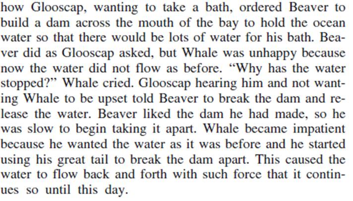
D&Z documented an early Holocene barrier bar system in Cobequid Bay (pic 1). Shaw et al hypothesized that a similar system existed in Minas Passage, that it was abruptly breached ca 4k, explaining abrupt Minas Basin tidal expansion. Indigenous myths hint at such an event (pic 2)
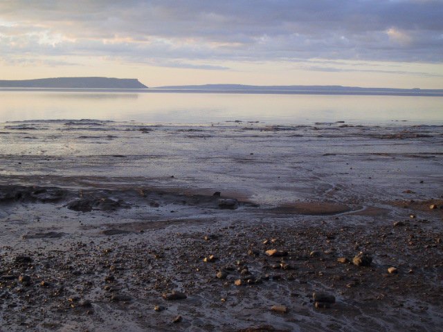
Pic 1: this tree stump is 1 of several that becomes exposed at low tide ca. 1km E of loc 6. Pic 2 is scenery at this spot, looking NW. C14 dating shows these tree stumps are ca 4,500 yrs old, supporting catastrophic tidal expansion hypothesis of Shaw et al 2010. #MinasBasinTidal
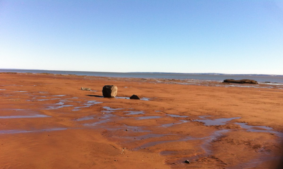
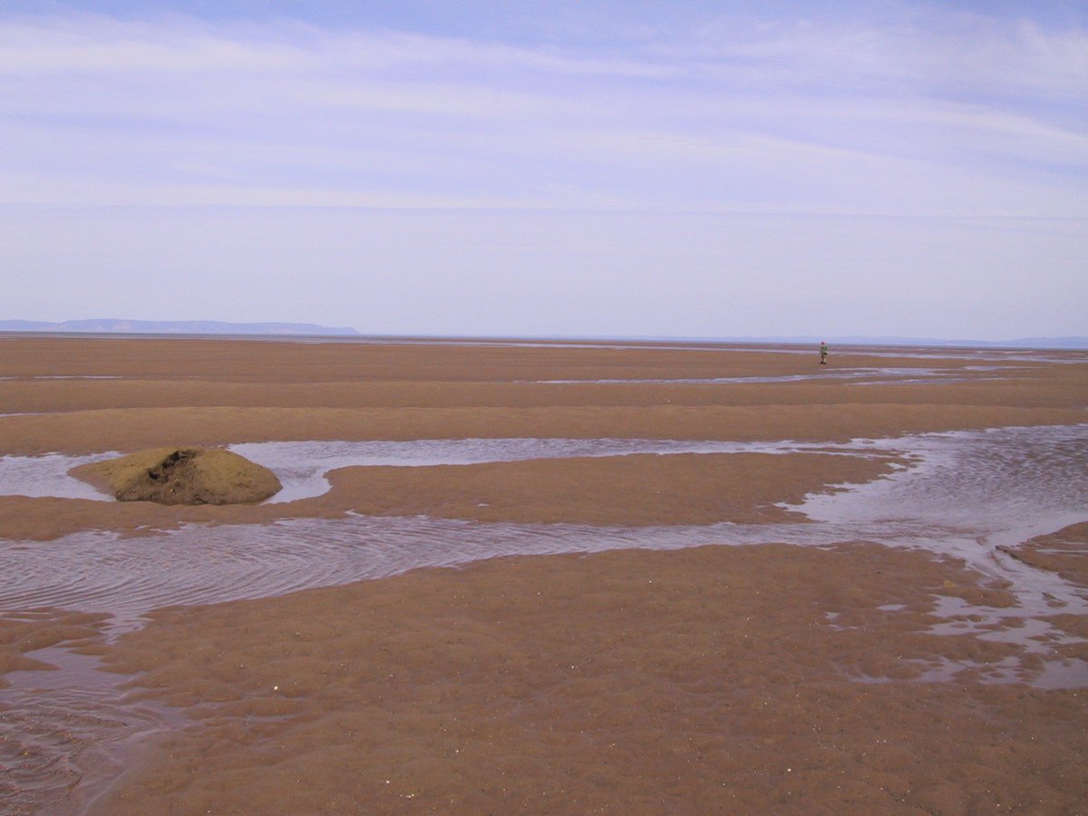
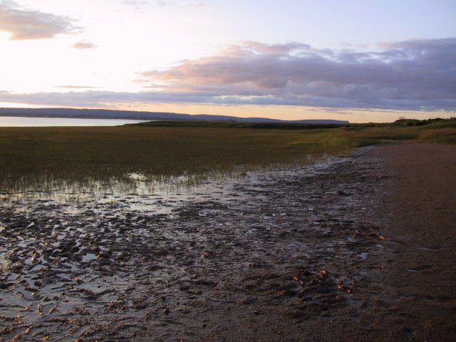
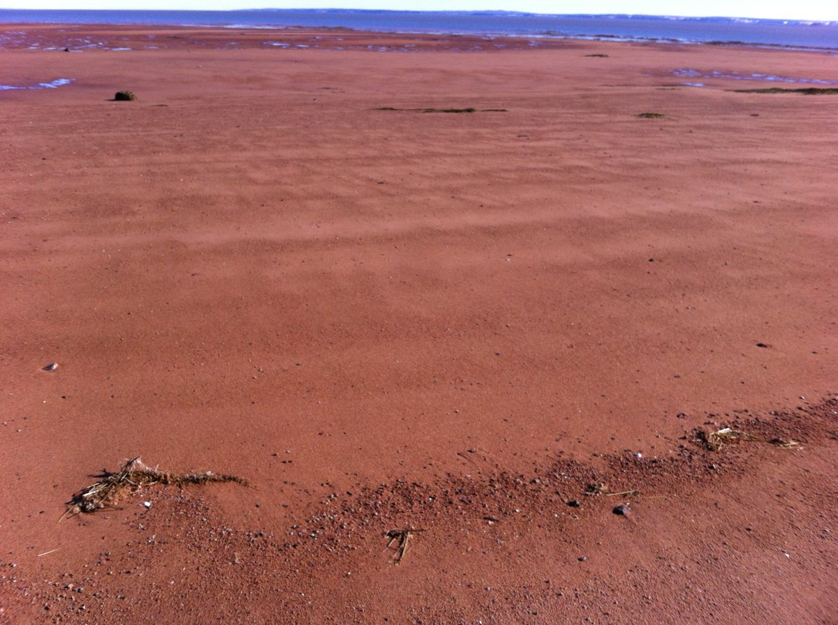
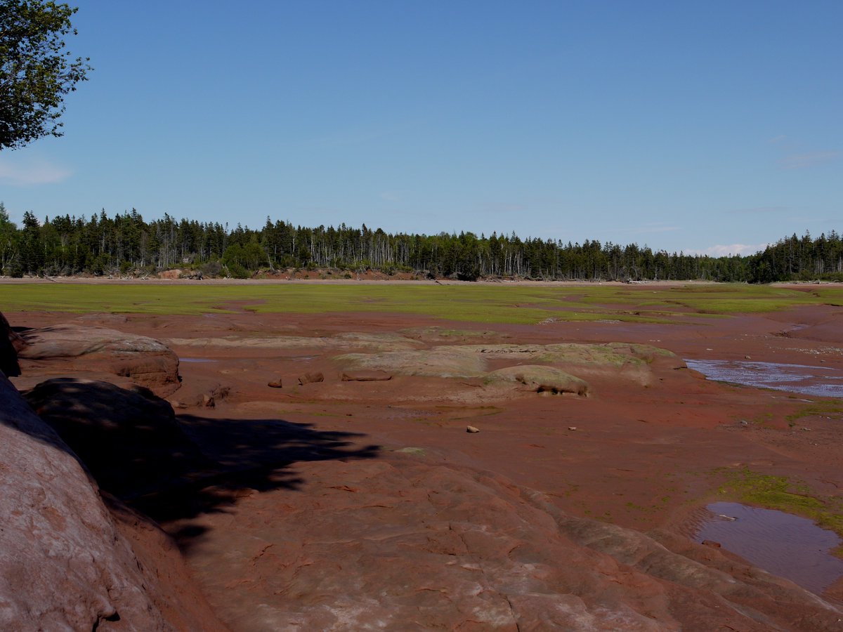
low tide at Kingsport, just NW of loc 6. The tidal flats here are underlain & bordered by late Triassic wadi sandstones, giving everything a rusty colour. The large erratic comes from the cliff a few 100 m to the left (North). It was moved here by winter ice #MinasBasinTidal
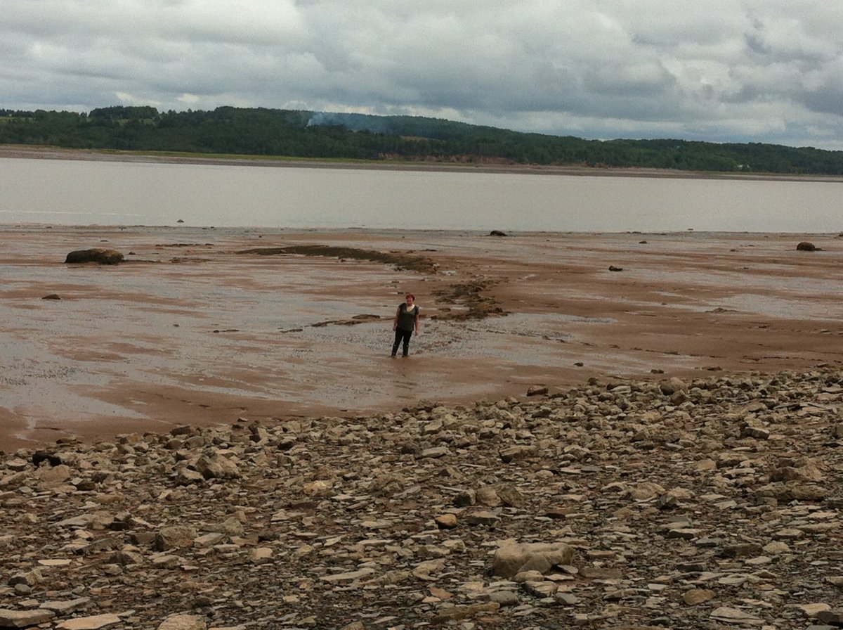
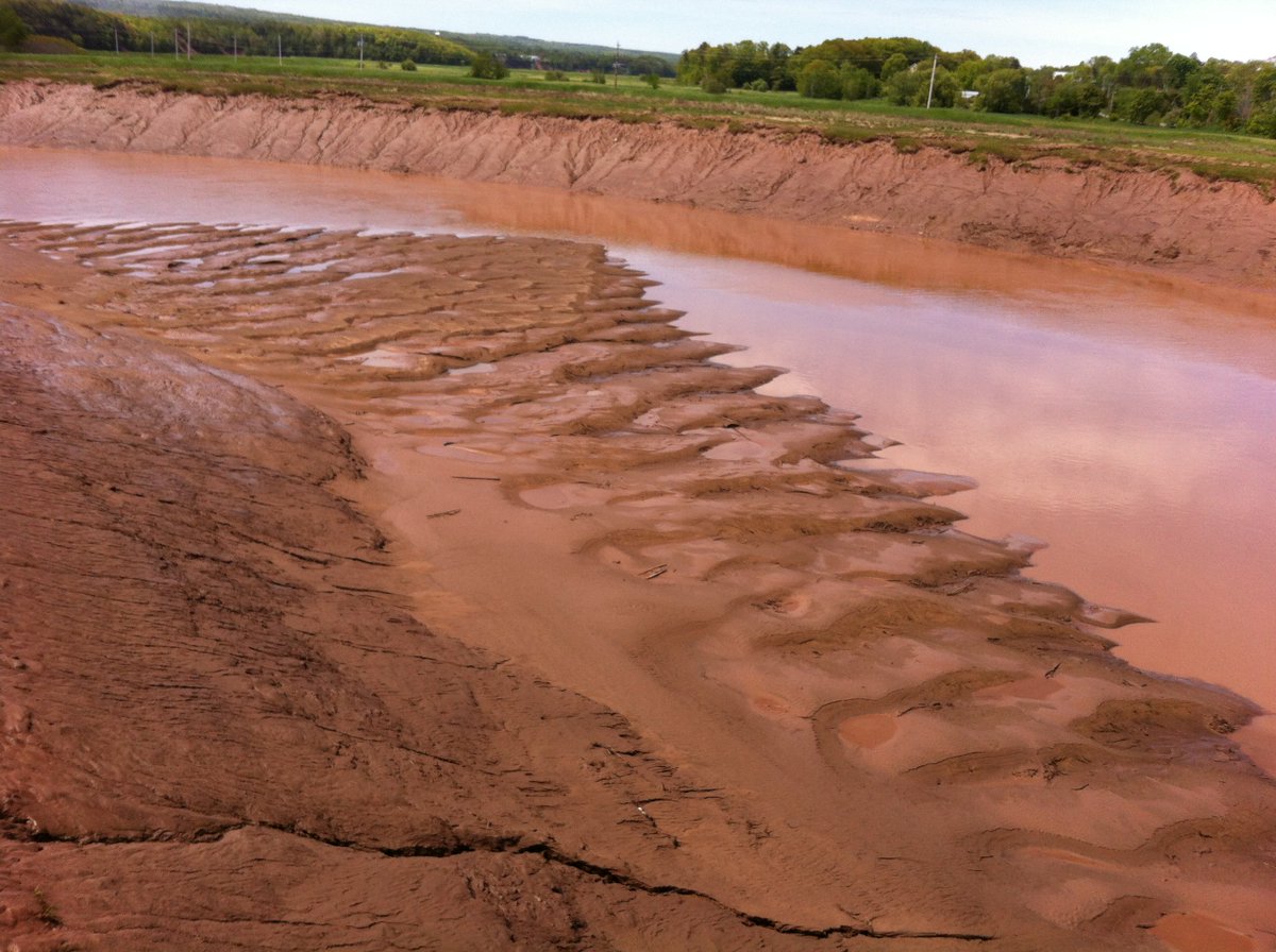
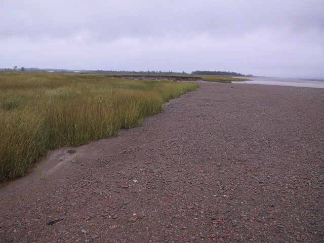
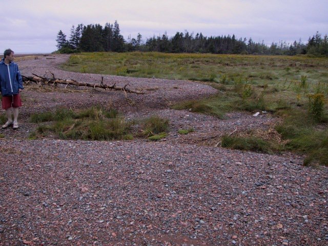
Muddy tidal flat deposits onlap everywhere directly onto shore surfaces at approximately half-high-tide level. Examples here pic 1. on gravelly post-glacial surfaces (loc 8) and pic 2. on rocky platforms (loc A). Both muddy people are average size #MinasBasinTidal
Dominantly sandy tidal deposits with dunes and compound dunes (terminology Dalrymple) occur mostly in upper Cobequid Bay (loc 8 and 9) and along the Cheverie Shore (loc 7). #MinasBasinTidal
These two pictures were taken 7 minutes apart at Burntcoat Head, the headland S of the "C" of Cobequid Bay on the location map. The best video of how fast the tide is coming in at Economy (the headland across) is here: https://youtu.be/l0TqFXiPfuk ">https://youtu.be/l0TqFXiPf... #MinasBasinTidal
A 4x1 km tidal shoal of unknown thickness is exposed for ca 2-3 hrs at low tide off location 7 at Rainy Cove ("Pembroke" on @googleearth). It has a great diversity of sedimentary features. Today a few aerial shots. #MinasBasinTidal
Research by Dalrymple et al (exclusively on Cobequid Bay) since & #39;78 is iconic. But do realize that #MinasBasinTidal exhibits hypertidal features throughout. Loc. 7 shoal system is a beast on its own with all features of zones 1 and 2 of https://www.sciencedirect.com/science/article/pii/S0037073812003326.">https://www.sciencedirect.com/science/a... We start exploring
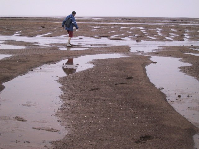
The Rainy Cove (loc 7) shoal system consists of a muddier channel-like part closer to shore & a sandier distant part. The muddy channel drains off last during ebb and then fills fast! right after low tide, giving only a 1.5 hr time window for visiting the shoal #MinasBasinTidal
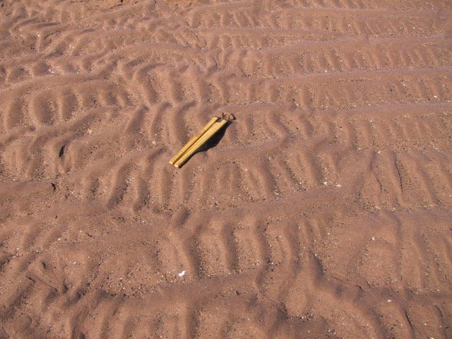
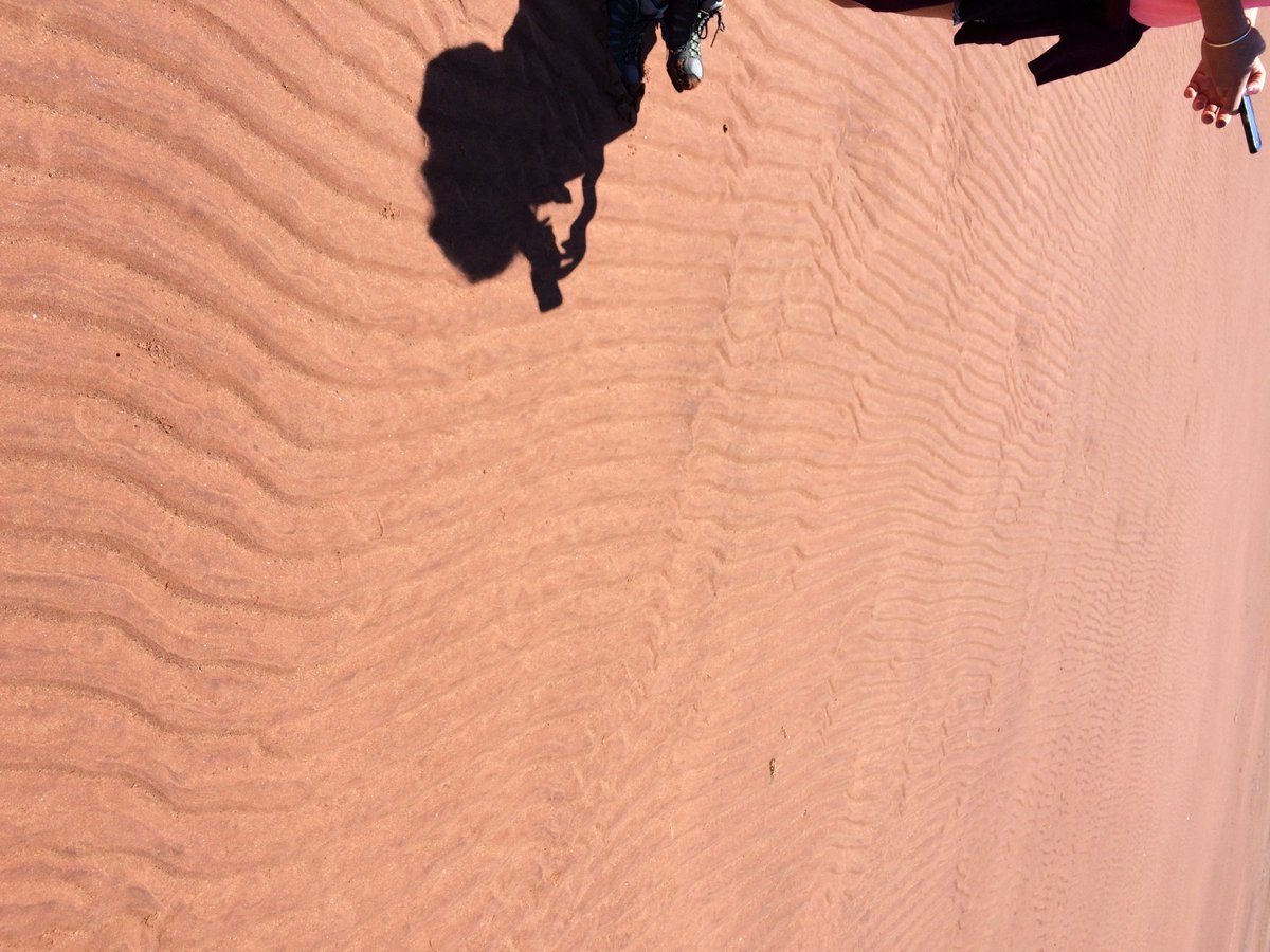
At loc 7, the "muddy" channel system has bimodal sediment composition, consisting of silt and macerated rock fragments. It shows mostly primary current lineation. The sandy shoal a.o. exhibits ladderback ripples bc of changing current directions during ebbing. #MinasBasinTidal
Today on loc 7 (see map on previous tweet): 2 videos less than 10 min apart, ca 45 min after low tide. This 1st video further up on the tidal flat. Strong wind in my back causes the “channel” to appear to be draining while tide is coming in. #MinasBasinTidal
2nd video here: tide actively encroaching on the shoal in the same channel as above. I was off less than 15 minutes later, which is safe (alerting @StephenLokier - because I’m not sure he has been seeing these) #MinasBasinTidal
Loc 7. Bay is to the left. These current ripples likely started out as flood-dominated ripples, then reversed during falling tide. Black macerated lithic fragments deposited in parallel streaks under sheet flow conditions during final state of ebbing tide. Nice! #MinasBasinTidal
NW tip of loc 7: well-defined dunes at least 30 cm high come into existence in late Summer / early Fall. The area is usually without such relief in Spring, likely because of winter ice dynamics. Erratics such as the one in this pic are left by winter ice. #MinasBasinTidal
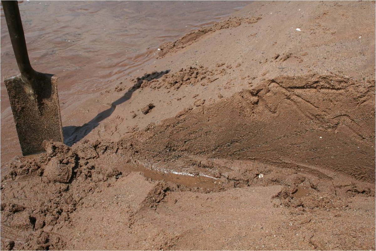
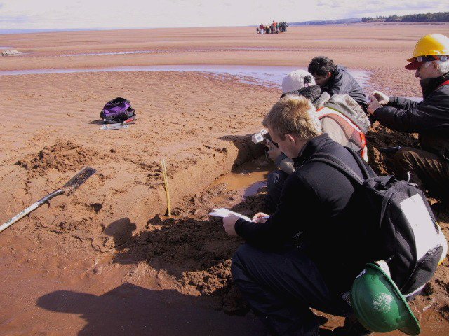
We have ca. 1.5 hr for a fieldtrip: digging trenches and studying the sedimentology. Sometimes luck strikes: here is a Spring-Neap cycle (thicker/thinner beds) with lithic fragments as "mud drapes". Lithics are shale, i.e. "platy" and thus settle after sand. #MinasBasinTidal
In the muddier parts between the sandy shoal and the shore, however, mud and silt will actually settle out to form mud drapes at high/slack tide. Note that in this environment, slack tide lasts less than a minute! #MinasBasinTidal
While we don& #39;t really know the thickness of the shoal complex at location 7, we do know it onlaps onto the wave-cut platform and likely thickens to no more than 10 m max. Isopach map from Amos, 1978, still the best result to date http://archives.datapages.com/data/sepm/journals/v47-50/data/048/048003/0965.htm.">https://archives.datapages.com/data/sepm...
23/n. Cobequid Bay, however, is a classic incised valley fill system. Thickness of Modern (post-glacial) sediments can be up to 25 m, as documented by Dalrymple & Zaitlin 1994 ( https://onlinelibrary.wiley.com/doi/abs/10.1111/j.1365-3091.1994.tb01442.x).">https://onlinelibrary.wiley.com/doi/abs/1... There we find compound bar systems with classic herringbone stratification
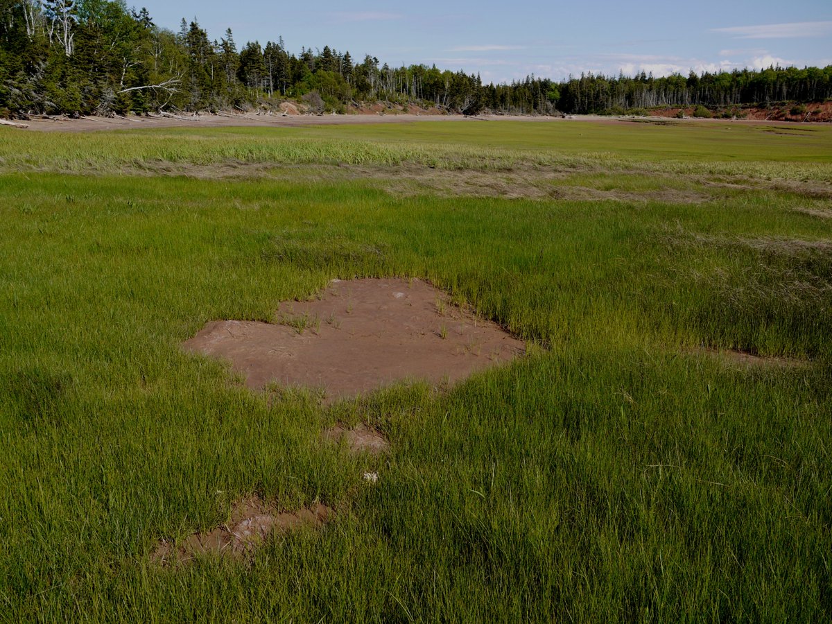
Let& #39;s talk marshes for a bit. The Bay of Fundy is heavily influenced by humans since 400+ yrs. Result: 85% of its tidal marshes are now dyked, creating rich farm land, but.... marshes produce all primary C (basis of the food chain). Here& #39;s a bit of marsh being hammered by a storm
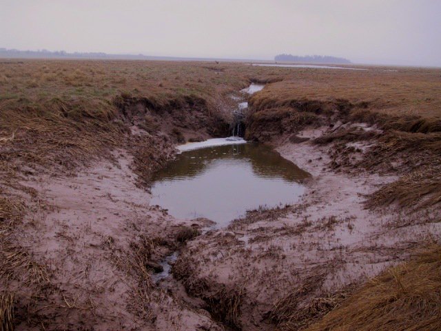
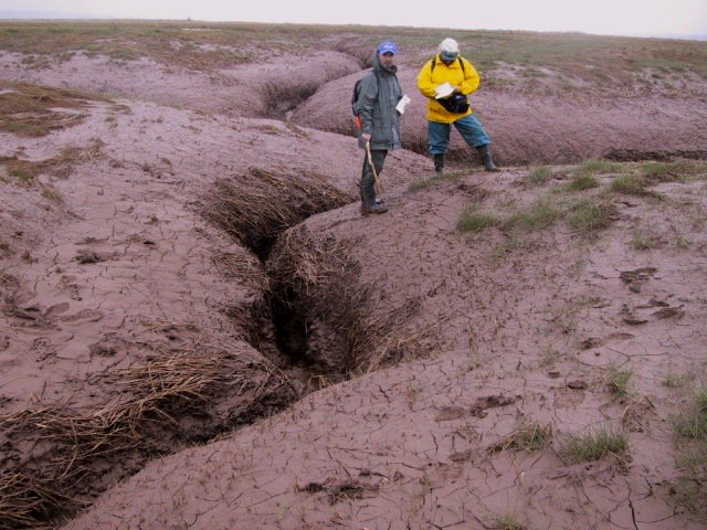
Pic1 from Van Proosdij http://www.smu.ca/research/profiles/faculty/VanProosdij14.html.">https://www.smu.ca/research/... Pics 2-4 at Lusby marsh, E of #1 on pic 1. Lusby was dyked til & #39;40s, then dykes broke, never repaired. Marsh since accreted >50cm, and actively creating its own new drainage. With the amazing Dr. Gail Chmura https://chmuralab.weebly.com/ ">https://chmuralab.weebly.com/">...
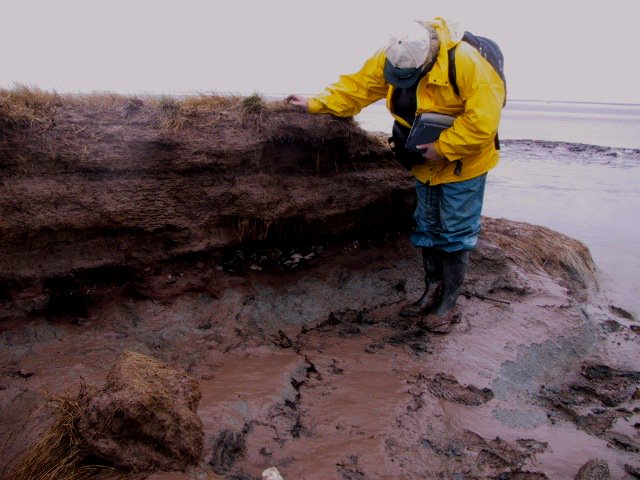
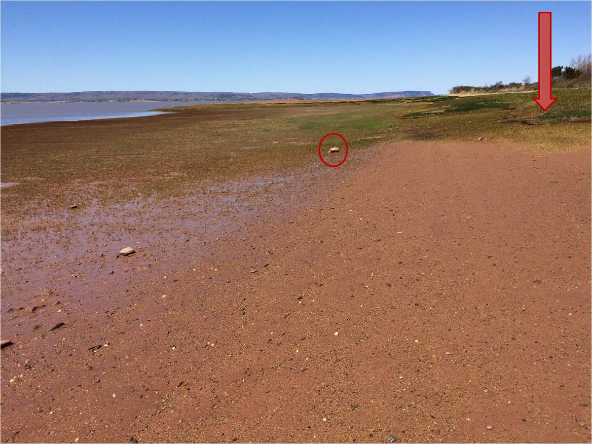
Undyked marsh E of loc6. Pics 2&3 were taken yesterday, 45 min after high tide (arrow). Note steep marsh slope & knick in slope (marking MHT) & erosive marsh edge. Pic4 is same loc 14 yrs ago. Ebbing water pools in marsh below knickline at this loc @StephenLokier #MinasBasinTidal
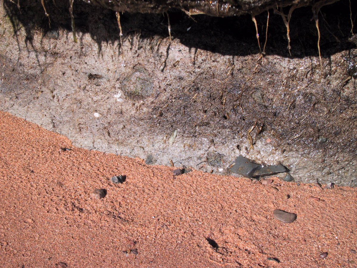
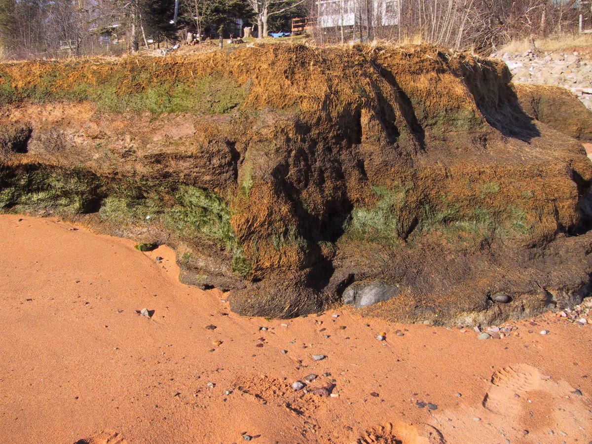
Marshes & tidal flat (mud/sand) facies onlap onto shore from the wave-cut platform, but only when shore is not a bedrock cliff. These facies are part of the estuaries-within-estuary complex of facies. This stratified marsh (loc4) directly overlies glacial till. #MinasBasinTidal
I should have been more specific. Tidal flats facies do accumulate under bedrock cliffs (e.g. loc7, where we spent some time), but marsh facies don& #39;t
Today I want to share with you a GIF of a model of the movement and elevation of water in Minas Basin during a Perigean Spring Tide. The GIF is too large for Twitter, so I uploaded it on my blog. Please watch it here: https://earthsciencesociety.com/minas-basin-tidal-dynamics-gif/.">https://earthsciencesociety.com/minas-bas... We& #39;ll talk about it tomorrow.
The GIF ( https://earthsciencesociety.com/minas-basin-tidal-dynamics-gif/)">https://earthsciencesociety.com/minas-bas... is v fast, but it& #39;s easy to see that the tide enters/exits Minas Basin as a jet (no Coriolis-type deflection). The GIF also shows that high tide lingers just a bit longer in the southern end of the basin, hence preferential mud deposition there
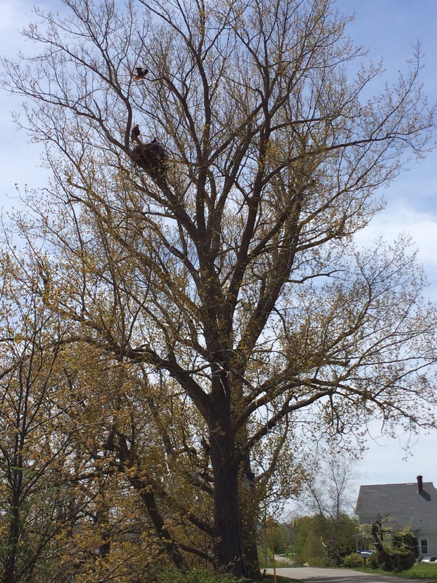
INTERMISSION. Today was just for enjoying this amazing landscape, although I did feel the need to go watch the incoming tide up close (find me in pic 3). Oh and we have Bald Eagle nests. #MinasBasinTidal #bikeride #happy
. @solwaywalker posted a #tidal creek pic in Cumbria yesterday. Those overlie glacial till as is often the case here. These pics are at the small channel opposite (E) of loc 6. Till is exposed marsh bank and tidal flat is bluish-grey & full of cobbles where till is exposed.
Closing off on marshes with today& #39;s @CBCNews story on my friend/colleague Dr. Gail Chmura (I featured her a week ago in this thread) & her research on Blue Carbon (carbon stored in #wetland sediments): http://www.cbc.ca/news/canada/nova-scotia/blue-carbon-billion-dollar-resource-1.4579249.">https://www.cbc.ca/news/cana... Yay Gail for persistent decades-long muddy research!
As the tide runs off, the local wildlife tries to stay under/in the water as long as possible. #MinasBasinTidal. #ichnology
Did you miss me? Sorry, I got too busy. Here we go again. We& #39;ll start talking about tidal creeks and tidal meanders. Today just a few pictures. #MinasBasinTidal
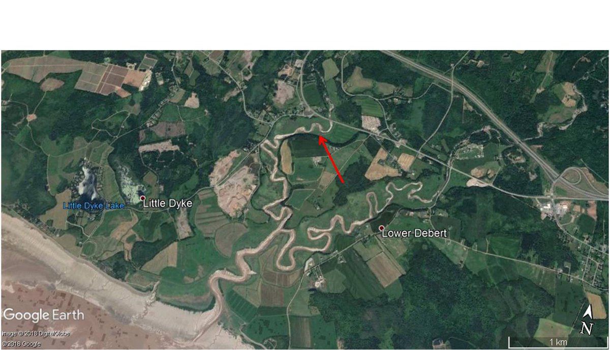
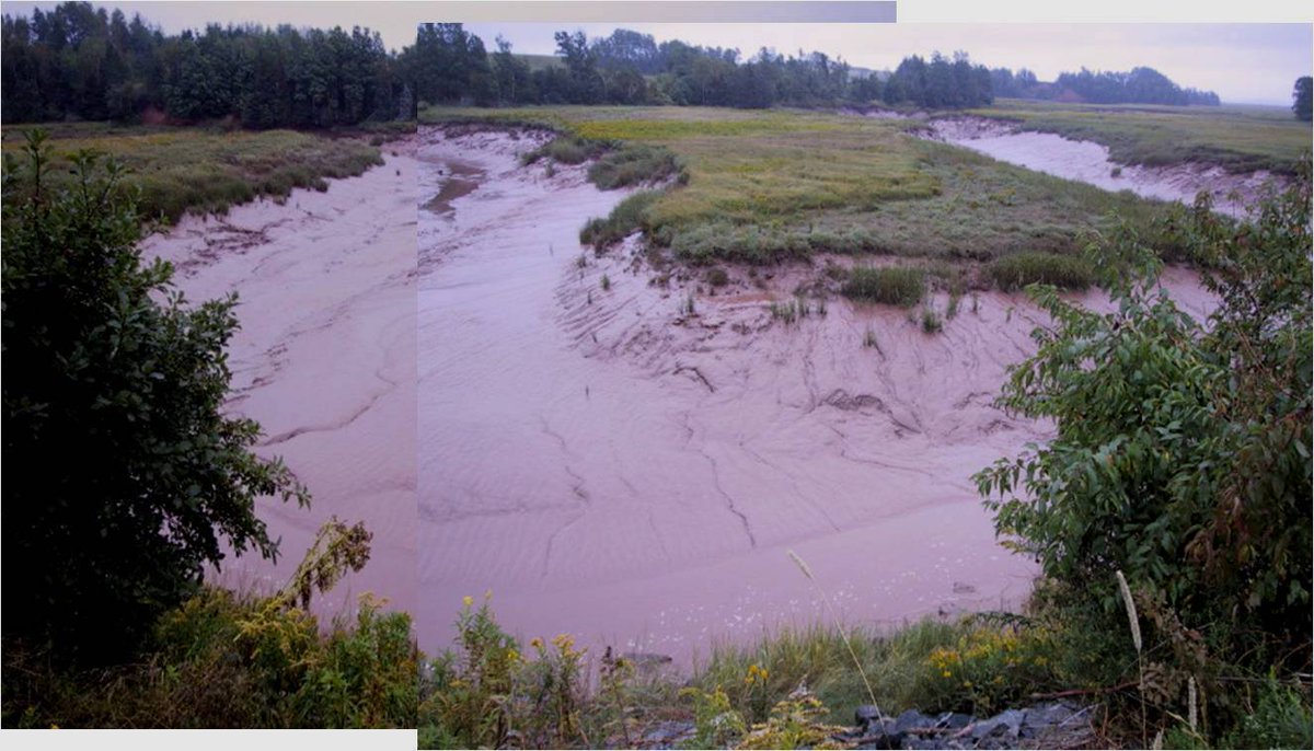
Tidal meanders don& #39;t have a typical cut bank & "point bar" (depositional side) morphology bc the tidal current goes both ways. Here is a @googleearth pic of the river south of Loc 6 entering Minas basin and of 2 of its opposing banks (red stars) at low tide. They look similar.
Here is another example of typical tidal meander morphology: Folly River, just N of loc 8. Arrow points to this meander. This site is less than 5 km from high relief hinterland, yet the tidal river sediment is 100% silt or finer.
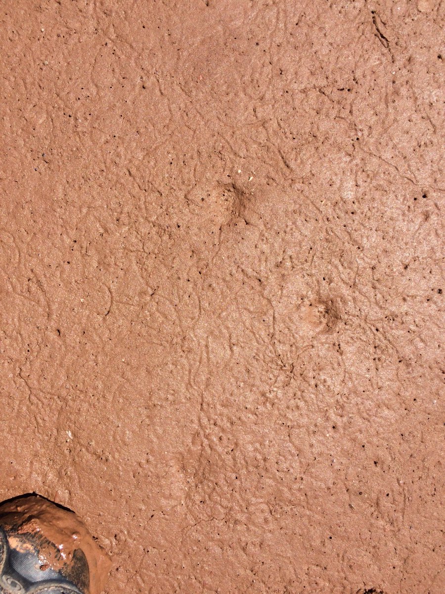
Mini-field trip TODAY. Who makes these traces in the (heavily bioturbated) intertidal zone? Tidal flats W of Location 4. #MinasBasinTidal
On sand-dominated tidal flats we see mostly primarily current lineation: evidence of fast ebbing currents (pic 1, loc 5). Ripples are almost always directed in an ebbing direction, frequently wave-flattened. Here is a rare example of flood-dominated current ripples W of loc 4
Back to tidal meanders & creeks. pic 1 shows loc (red square) of one of the biggest and best documented ones, located where the Cornwallis River enters Minas Basin. Pic 2 & 3 are aerial shots by me, pic 4 is an official air photo. More detail tomorrow. #MinasBasinTidal
The main channel of the Cornwallis River doesn& #39;t change much over a 25 yr period, most likely bc it& #39;s confined between dykes. Adjacent marshes, sand and mudflats (mostly mud here) display marked shifts in sedimentation and facies. Informal report by C. Perry-Giraud 2005
Ah, it& #39;s #FossilFriday - so I& #39;m giving you potential future #ichnology. Deer tracks. I actually saw the deer exit the water (towards me), it had swam across a deep and fast flowing tidal channel. Preservation potential: who knows.
Is there a #SillySunday? I declare one today (if only to keep our sanity after what happened in La Malbaie Friday and Saturday). Can you tell what this is? The creature? The tracks? What #fossil?
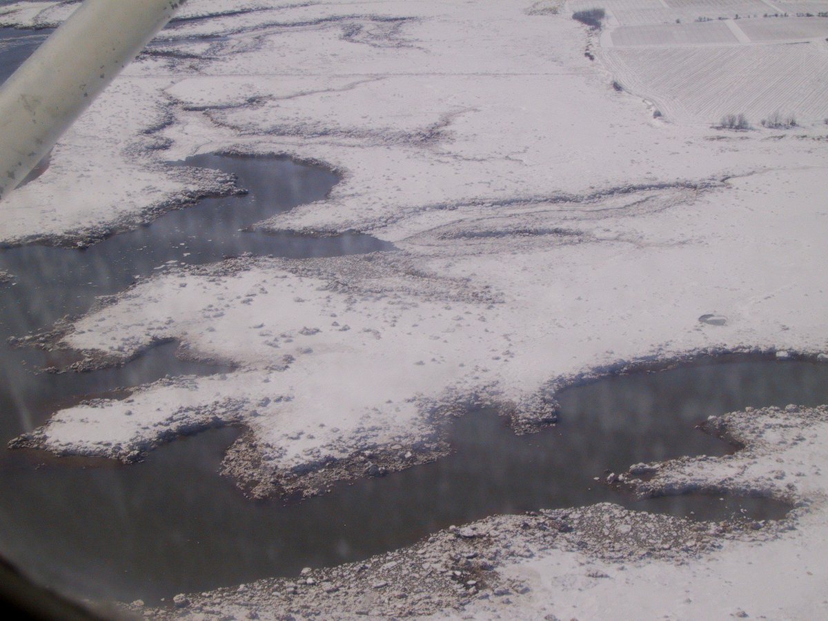
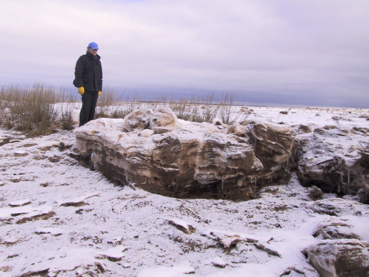
We had a frost. In June! Horrors for vineyards and blueberry growers. Yes, vineyards, remember, we& #39;re only at 45 N, but on the right/cold side of the continent. Thus, in June, you& #39;ll get images of winter ice and a link, because i wrote about that. https://earthsciencesociety.com/2015/02/05/extreme-tides-and-winter-ice/">https://earthsciencesociety.com/2015/02/0...
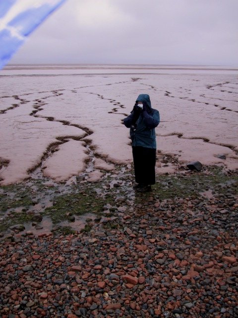
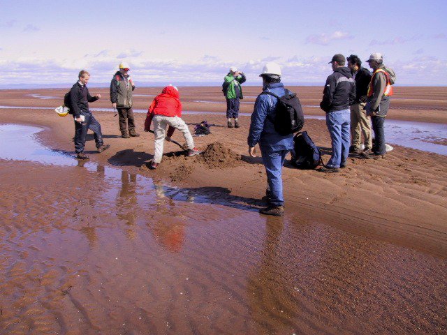
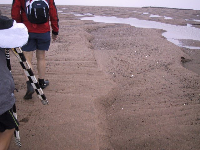
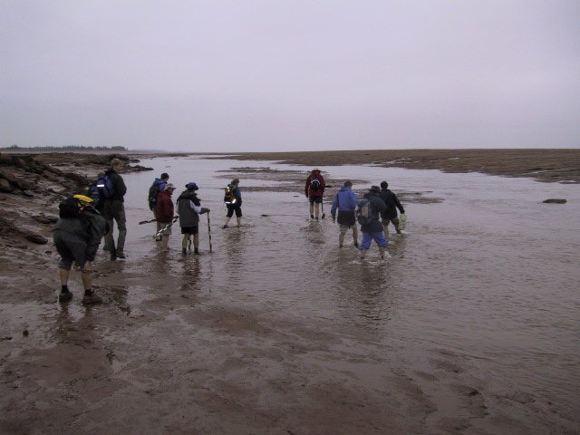
It& #39;s a chilly rainy day in #NovaScotia, so here is a picture of some geologists venturing out on the muddy tidal flats around location 8 during a similar chilly rainy day.
Minas Basin tidal flats exist under cliffs: some are outcrops of spectacular fossil bearing rocks from the early Carboniferous (Tournaisian), containing the world& #39;s oldest tetrapod trackways. Here just macerated Carboniferous shale as "mud drapes" in ripple troughs #FossilFriday
Today we visit Thomas Cove, W side of the headland E of loc 10. Here we see the effects of the tides magnified in a small area: no tidal flat, just vegetated marsh and channels, w high tide markings (dead vegetation) & a big mud patch that was once a big ice raft and melted out.
Large eb-dominated dunes in Cornwallis River W of red square in loc map. These are fine sand & silt, always waterlogged (don& #39;t try to walk on them). Meander banks are silt/mud, up to 3 m high. One of the very few places where we see these around Minas Basin
Although S Minas Basin is extremely muddy, rare sandy facies occur too. Here& #39;s a sand spit in the centre of the red square (loc map). It& #39;s generated by flood-tidal currents that erode the Triassic sandstone outcrop in the pic. Pock marks are from ice rafts that just melted away.
Extreme sediment size contrasts are everywhere. These three pics were taken on the same spot at loc. 8. The gravel is washed out from glacial till. Active washover deposits exist next to muddy tidal channel facies.
The strongest tidal currents occur at loc2, ca 3 hrs before high tide and can reach 36km/hr. The incoming tide causes sea level to slope a bit, as can be seen in these pics. I took them as we exited Minas Basin (E-->W) at Cape Split 3 hrs before high tide https://en.wikipedia.org/wiki/Cape_Split ">https://en.wikipedia.org/wiki/Cape...
Last tweet of this thread on #tidal energy development (pic1 loc2). @nsgov invites industry to install turbines at berth. Since & #39;09, 2 were lowered; no1 lost all blades in 2 weeks. No 2 generated power for a few mos. More: http://capesharptidal.com/ ">https://capesharptidal.com/">... http://fundyforce.ca/ ">https://fundyforce.ca/">...

 Read on Twitter