MAPPING TIPS - A LONG THREAD! 1/? (I& #39;ll add stuff little by little!) #cartography #maps
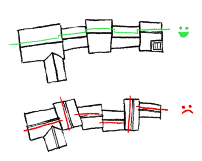
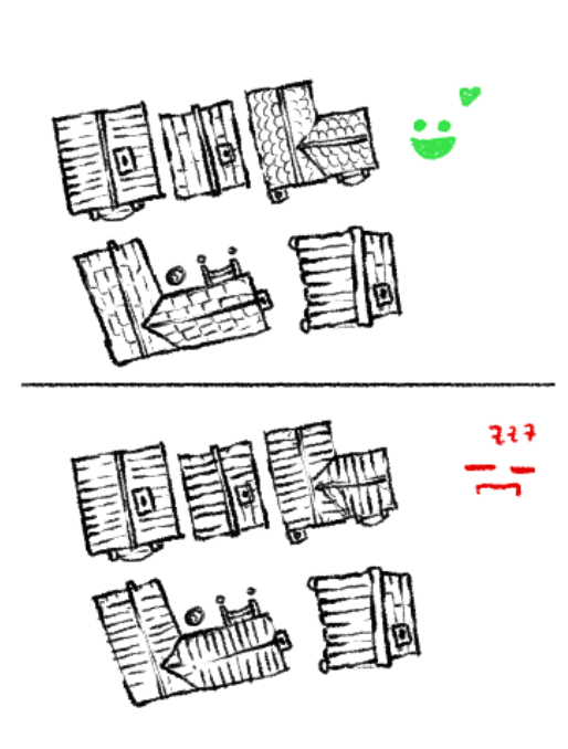
If your buildings follow a paved path or a road with a sewage system, keep a consistent direction of the ridges!
If your buildings follow a paved path or a road with a sewage system, keep a consistent direction of the ridges!
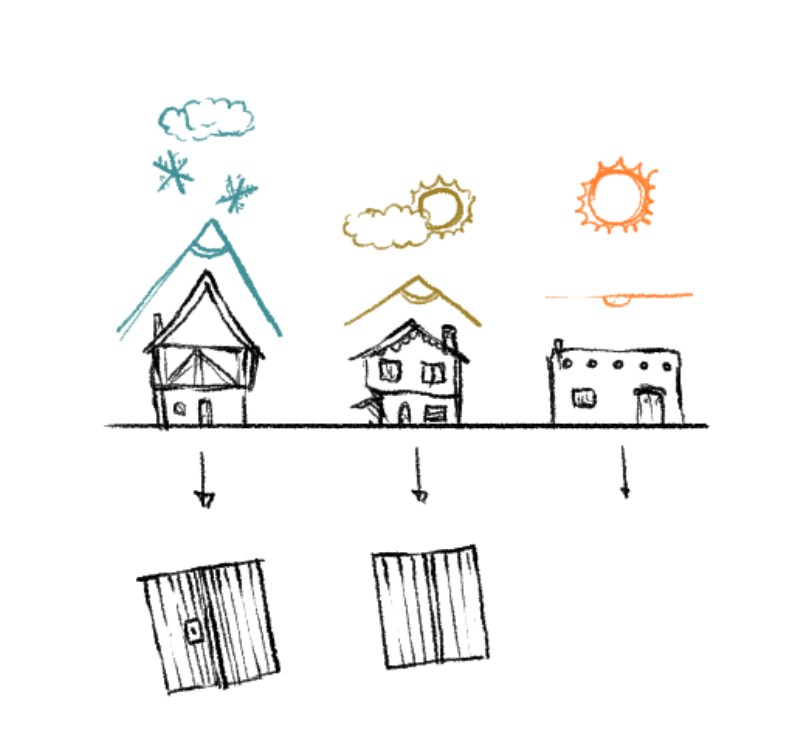
3/? Remember to vary the rooftop inclination depending on the general climate of the zone you& #39;re mapping! Also, the shingles texture varies in a top-view map if the rooftop is arched/sloped or flat!
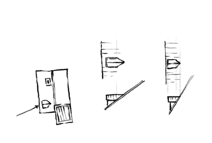
5/? Don& #39;t be afraid to experiment with complex shapes, details and superimposition to convey a sense of varying elevation, especially in top-down views!
OFC this is not a written law since there are LOTS of exceptions and folks built quite ruthlessly (and they do today, too!)... take them as "you would like to"!

 Read on Twitter


