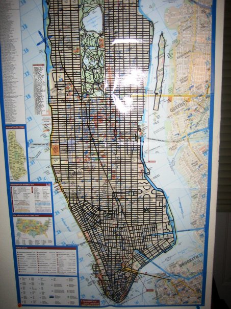
During my 8 years living in NYC between 2002 and 2010, I traversed every navigable street on the island of Manhattan by foot. I would go for weekend walks and daily runs in different neighborhoods, on and off the beaten path. It& #39;s an adventure I& #39;m really proud of. THREAD /9
This is one of my favorite views of the city. Here I& #39;m looking back south at Manhattan at sunset from the George Washington Bridge on 168th Street. Pretty, eh?
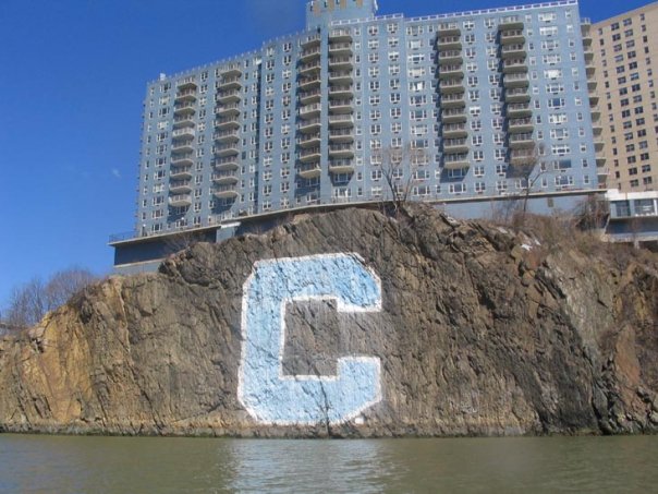
This was taken at the northernmost tip of Manhattan. The "C" on the cliffs across the Harlem River stands for Columbia, the university. The school& #39;s football stadium sits there.
This marker sits outside of a Soho bar called The Ear Inn, several hundred feet east of the current Hudson River shoreline. Over decades and centuries, the city has reclaimed and built upon land that used to be underwater.
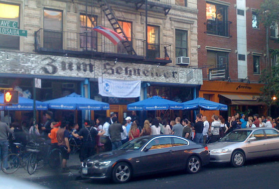
Speaking of underwater, this is a popular German beer bar that we used to go to on Avenue C in the East Village. One of the waitresses wore her notepad in a sling low on her hip like a Han Solo holster. I had a crush on her. That whole area was flooded in Hurricane Sandy in 2012.
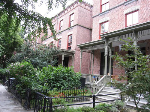
This strip of town houses, known as Astor Row, sits on 130th Street in Harlem. The houses struck me as unusual for Manhattan, as they each hard a little yard and a porch.
This rock in Bennett Park at 183rd Street and Pinehurst is the highest natural point on Manhattan at approximately 265 feet above sea level. Dwarfed by the skyscrapers to the south, it& #39;s neat topography nevertheless.
On February 14, 2010, I completed my journey. All that remained were some small sections of lower East Harlem and the Upper East Side. I took my final step at 96th Street and Lexington Avenue at the base of the red sharpie line, south of the black arrow in the photo below.
Tremendous memories. Thanks for reading a few of them. Keep exploring!

 Read on Twitter


