Return of Luftwaffe bombers to #Belfast on the night of 4-5 May 1941 was known as the & #39;Fire Raid& #39;. 1000& #39;s of incendiary & high explosives where dropped on the city primarily targeting the manufacturing & harbour infrastructure. #NIWM database records 216 deaths 1/ #BelBlitz80
As with the #Easter Raids the civilian population bore the brunt of destruction as fires engulfed homes & streets. North & East Belfast suffered direct hits from high explosive mines & fire bombs. Entire households, in some cases streets where destroyed with their occupants /2
Avondale Street in the Connswater area of East Belfast, surrounded by busy textile mills & factories, suffered a direct hit killing 15 including 6 from the McCullough family at number 8. Agnes & Ralph McCullough where 6 & 5. Neighbors where also killed in and around the area. 3/
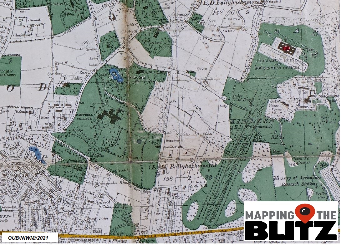
The Stediplan von Belfast & #39;Target Map& #39; shows clearly marked symbols detailing military, industrial & civil infrastructure targets including Parliament House at Stormont, directly targeted during the raids. Based on contemporary mapping it was instrumental in raid & #39;success& #39; 4/
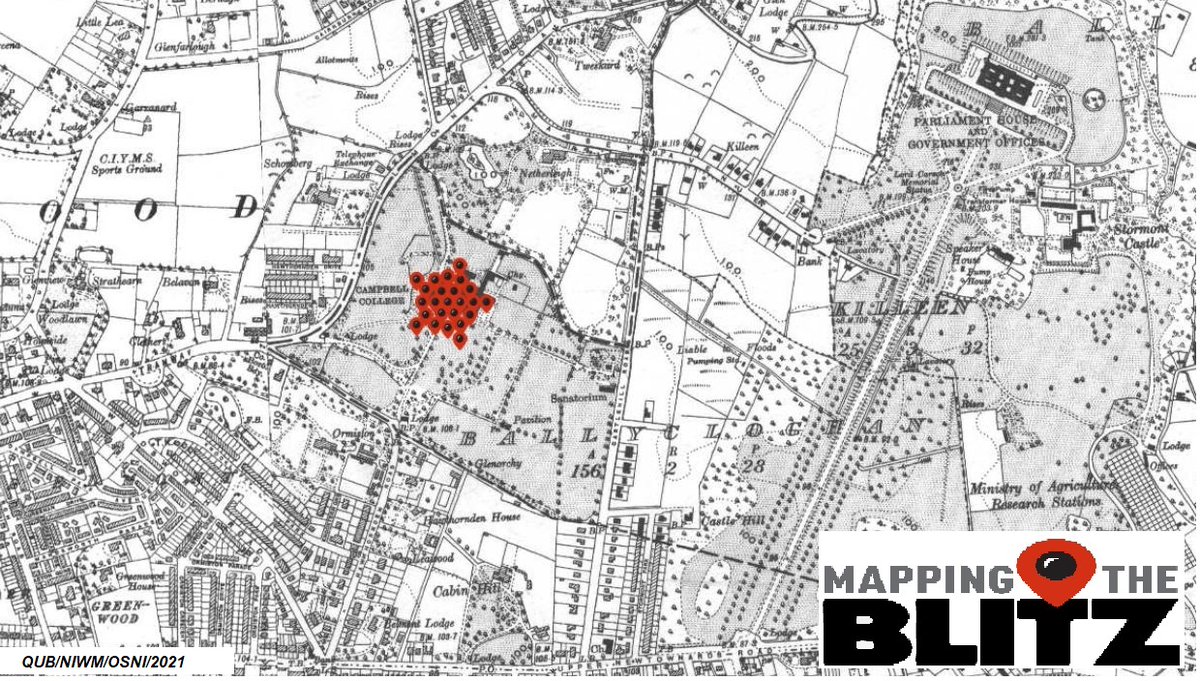
Blitzkrieg was not & #39;precision& #39; bombing, institutions not & #39;marked& #39; by Luftwaffe cartographers suffered equally. Campbell Collage c1km away from Stormont housed & #39;No 24 British General Hospital& #39;. 23 men & 1 woman, medics, service personal & civilians where killed in a direct hit 5/
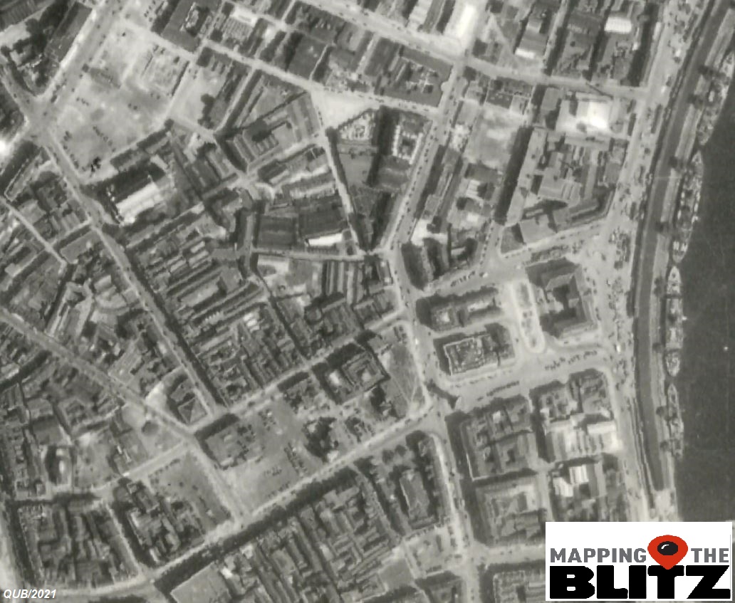
& #39;Mapping the Belfast Blitz& #39; is an interactive Web Map App & resource developed & funded by @QUBGeography #GIS @QUBelfast @NIWarMemorial recording the deaths & location of those lost in #BelBlitz41 via mapping/aerials & contemporary archives, to be published later this month. 6/6

 Read on Twitter


