And welcome! We are now under way with Shaun Evans ( @YstadauCymru) and Scott Lloyd of @RCAHMWales who& #39;ll be introducing the @ahrcpress-funded project & #39;Deep Mapping Estate Archives& #39; [cont.] https://twitter.com/YstadauCymru/status/1387443534777798668">https://twitter.com/YstadauCy...
This is a multi-disciplinary and multi-partner project including archivists, archaeologists, historians and librarians. @YstadauCymru is the lead, however, and this multi-disciplinary research centre is based @BangorUni.
This includes hosting doctoral students including @pastdeeds and you can find out more here: http://iswe.bangor.ac.uk/ ">https://iswe.bangor.ac.uk/">...
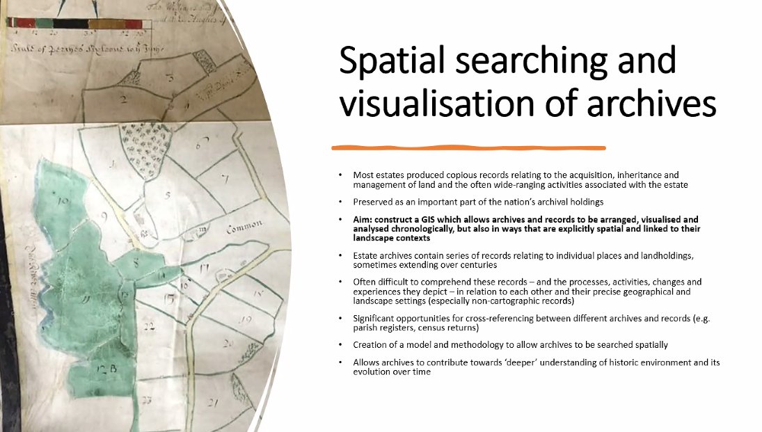
For an introduction to the project itself: http://iswe.bangor.ac.uk/ahrc-estate-landscapes.php.en">https://iswe.bangor.ac.uk/ahrc-esta... - the aim is to produce a & #39;deep map& #39; which will draw together the various sources - historical, tangible and intangible - that come to define place underpinned by #GIS.
So one of the aims is to have a map that if you click on a particular feature, you pull up the sources that describe and detail its history - see @LayersofLondon or @KYPBristol for examples of something broadly similar.
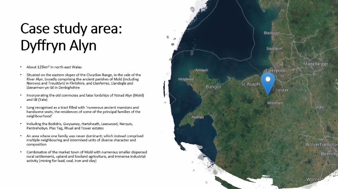
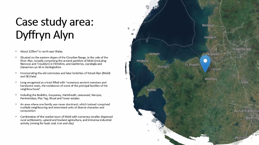
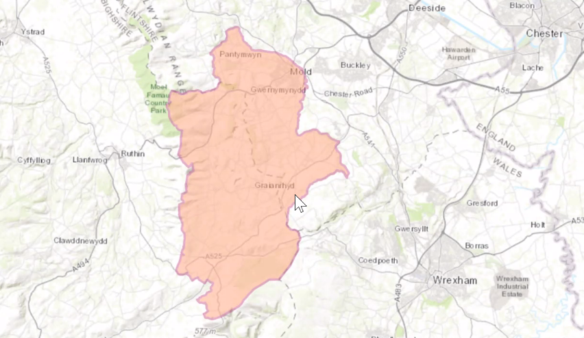
So tonight& #39;s case study is Duffryn Alyn in the historic counties of Denbighshire and Flintshire or the medieval Marcher Lordships of Mold and Yale.
So why this area? Well it& #39;s varied - upland and lowland, relatively close to the English border and home to several significant estates and these, in turn are very well documented through genealogical manuscripts, poetry and the more prosaic records of estate management.
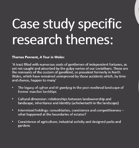
But there are also #Antiquarian accounts - notably those of Edward Lhuyd - https://biography.wales/article/s-LHUY-EDW-1660">https://biography.wales/article/s... - but also Thomas Pennant.
In Medieval Wales the signs of gentry or #Uchelwyr status was lineage, but increasingly through the 16th century and later it was #Land an estates that defined gentry status (as elsewhere, of course). The economy of the great house was the economy of an estate and its landscape.
One of the aims of this project is to make the #Archives and their place-relevant data more accessible, by putting them in their spatial context.
And one of the benefits of that is to put together records that exist separately - in different collections or archives - together to aid comparisons and to make these available to researchers (our @VCH_London colleagues would say & #39;if only this was England!& #39;).
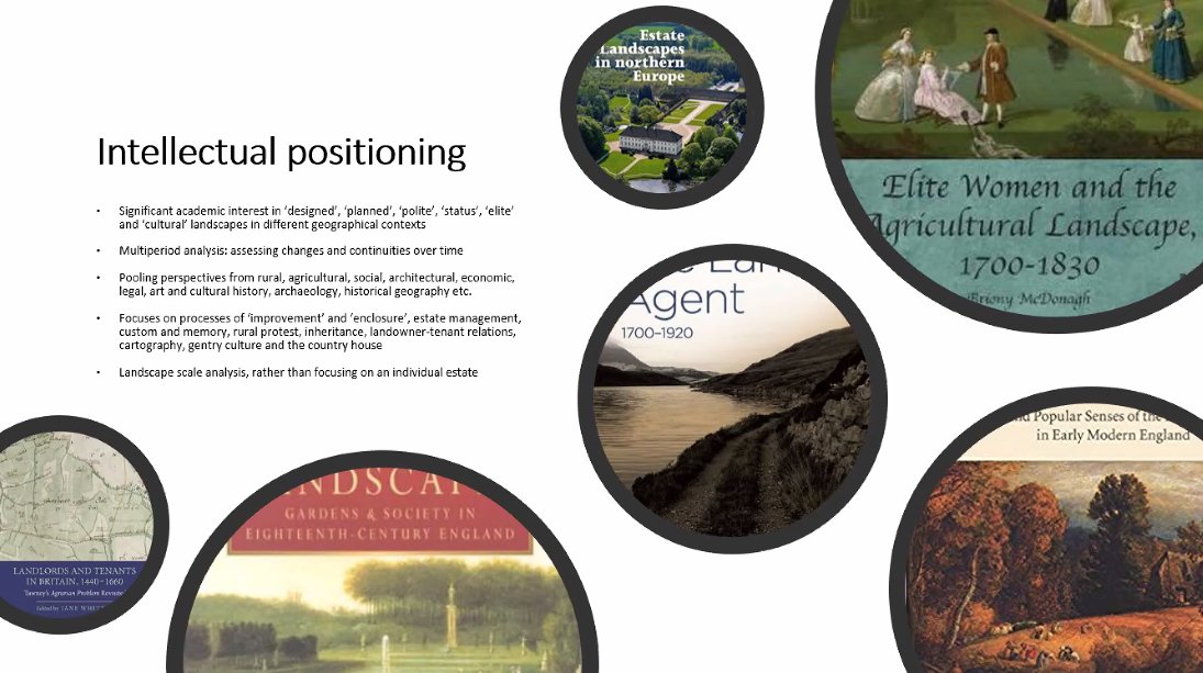
So among the historical themes drawn together in this project are popular protest, #GardenHistory, #LandscapeHistory the country house and the estate as frame for that.
And a driver for that is that the country house and its life does not form much part of the popular understanding of Welsh history with its emphases on radicalism, colonialism and industry: often the houses and their owners are seen as outside that (wrongly).
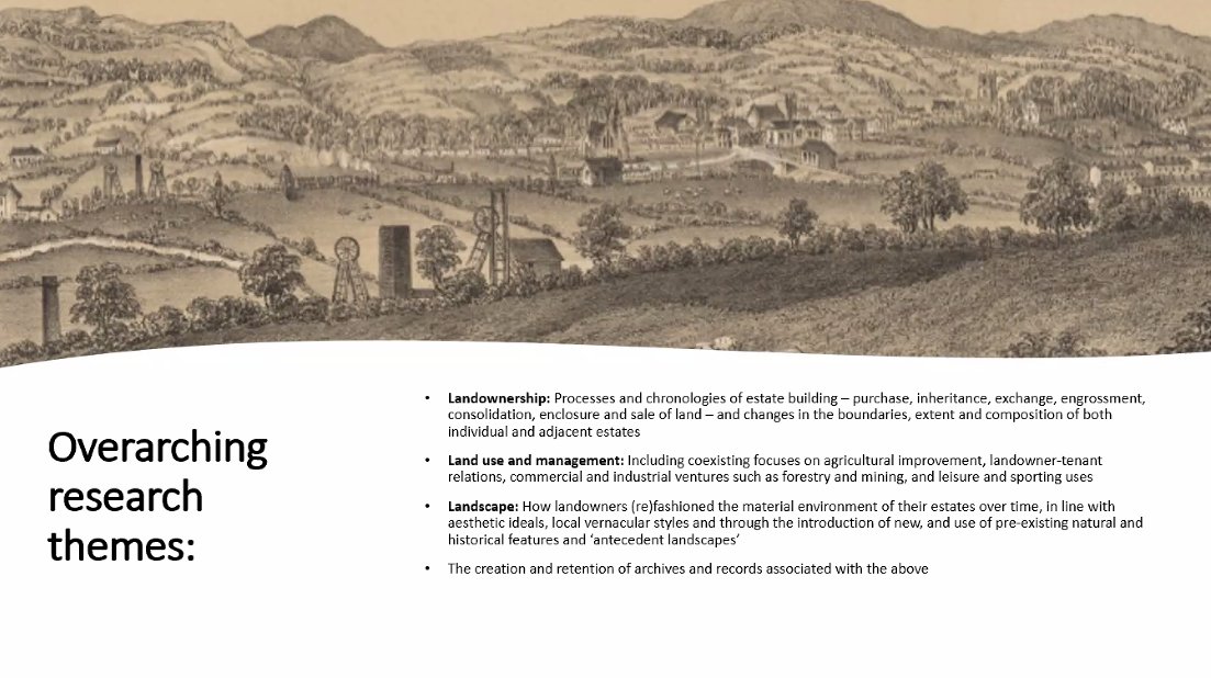
So what are the key themes? Landownership (something that @VCH_London shares), Land Use and Management and Landscape.
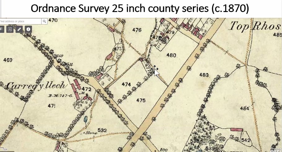
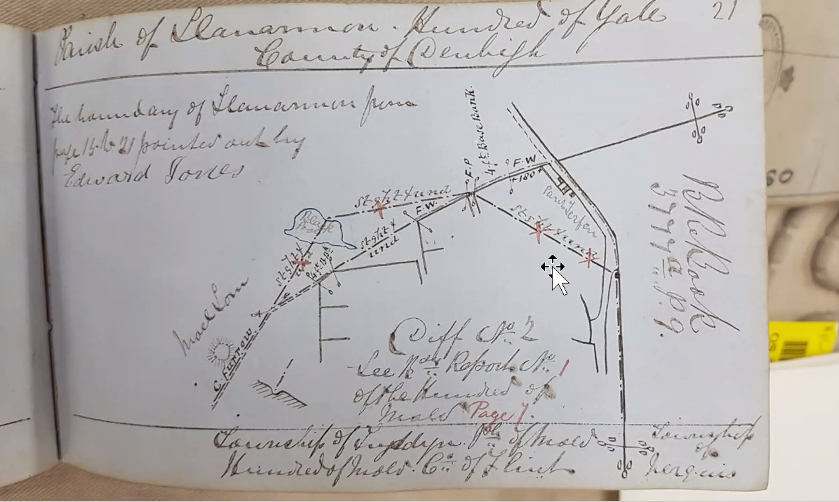
Moving on to the & #39;Deep Map& #39; and its sources - for mapping alone, everything from Tithe Maps to Mine Plans underpinned by historic @OrdnanceSurvey (first edition 25" to the mile) data.
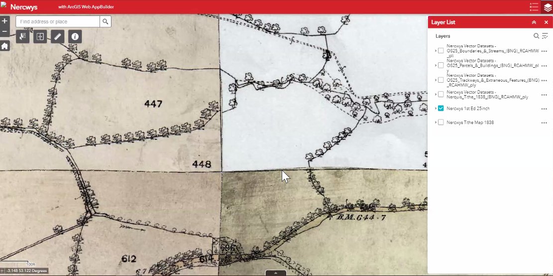
So here is the project area (in red) based mapping data - 1869-72) which includes every tree (!), detailed records of boundaries and land use based on data supplied by those on the ground (the act of mapping formally determined and codified the boundaries for the first time).
So how are they used? The original sheets (55 of them) are #georeferenced to the OS master map which matches the historic data to modern survey data - which with an error margin of 2.5 metres matches the historic data very well.
Incidentally - this seminar is being recorded so the detail of the early OS process (which is fascinating in itself) will be available via our events archive: https://www.history.ac.uk/chppc-events-archive">https://www.history.ac.uk/chppc-eve...
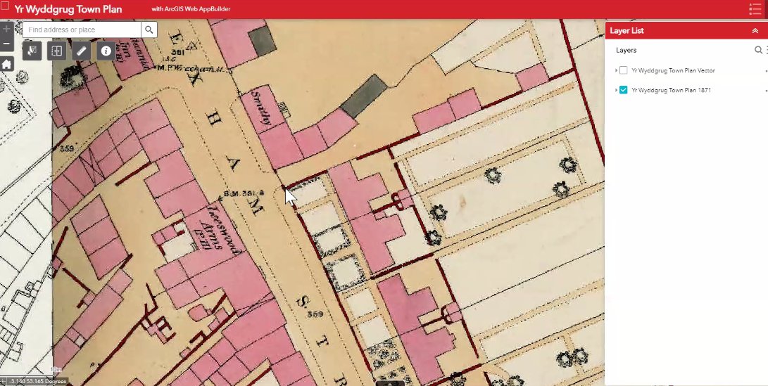
Included in the study area is the town of Mold/Y Wyddgrug and that is recorded with a 1:500 town plan (in colour) which includes buildings, their uses and even interior plans of public buildings.
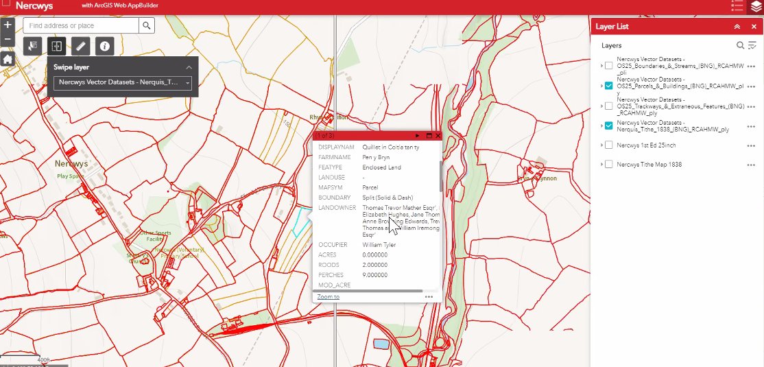
So the interface (here showing Nercwys) will look like this, showing OS boundaries (in red) and tithe map boundaries (in orange) and the dialogue box provides details of associated archival records - linked to the catalogues. Very exciting!
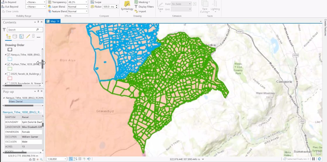
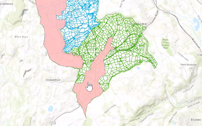
And this is very brave, sharing GIS live on Zoom, but the blue shows Nercwys, the green the neighbouring parish of Trythen (completed *yesterday*) and the pink in the second map shows the land in the enclosure award (and with the names and gender of landowners).
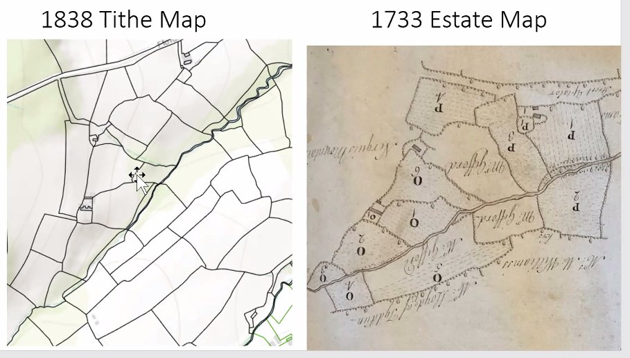
These maps will enable layers of ownership for individual fields (as well as estates) over time: the granular level of detail available is astonishing - by doing absolutely everything from field names to the dashed lines showing ploughing, research questions are opened up.
So here& #39;s the value of this approach (though it is very labour intensive, it& #39;s worth it) and here there& #39;s also an opportunity for local and individual #LocalHistory work - additional data can be added to the map on a national basis.

 Read on Twitter
