Building on this thread on company towns, a new thread on another form of urban governance structure, that we all have seen, visited and maybe even lived in: Cantonments! (1/n). https://twitter.com/ChinmayTumbe/status/1381495877433352195">https://twitter.com/ChinmayTu...
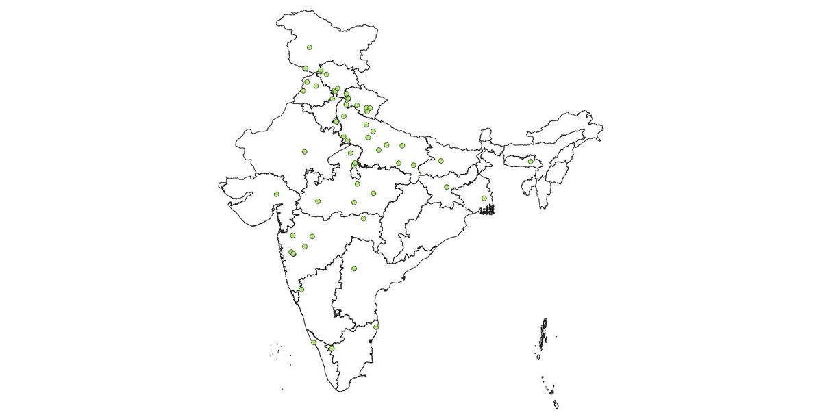
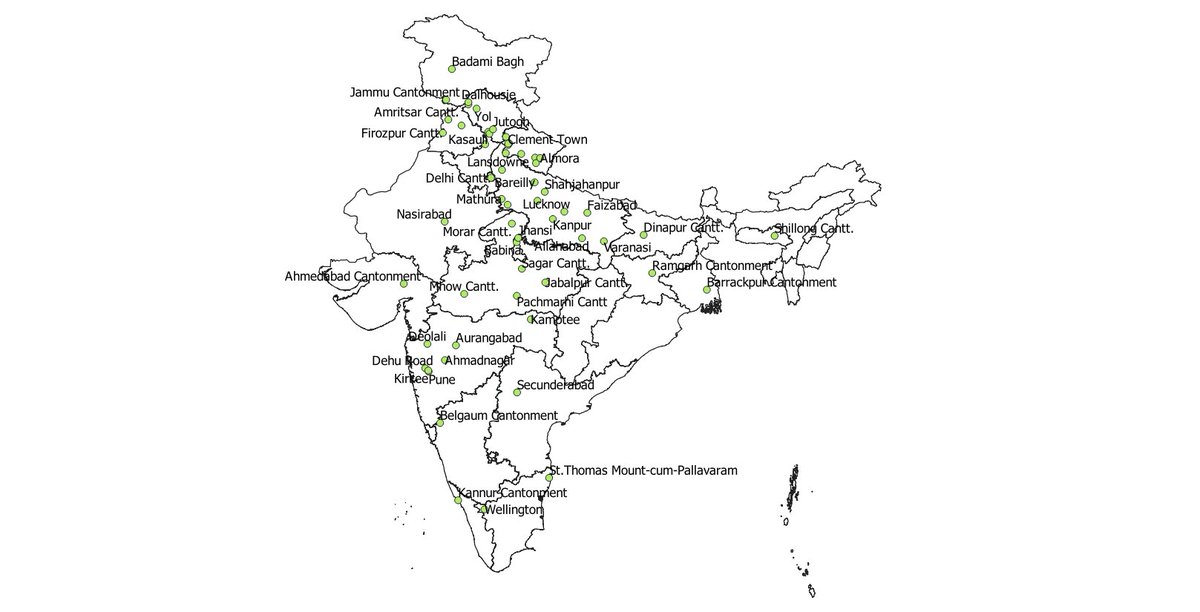
There were 59 Cantonments listed by Census 2001 and their distribution across India closely mirrors the history of British military pursuits....more dense between Calcutta and Delhi and very few in South India.
In 2011, 3 of them had a population of over 100K: Secunderabad (200K+), Kanpur and Delhi. Between 60K-100K: Meerut, Ramgarh, Mhow, Kirkee, Jabalpur, Pune. Median population was 20K. Map with labels shown below.
Largest by area is Deolali, at 53 sq. kms. Despite such a large area, bullets from their firing range would reach our terrace in our house on the outskirts of Nashik! Delhi and Secunderabad are at about 40 sq. kms and the median size of cantonments is 12 sq. kms.
Literacy rates across cantts. was well above 90%, though less than 80% in Kanpur and Allahabad. Median sex ratio was 750 females per 1,000 males, given the male-dominated army force, but exceeded 900 in Secunderabad, Ahmedabad, Barrackpur, St. Thomas, Deolali and Pune.
Median female worker/population ratio was 13% in 2011. Interestingly, in the south Indian cantts. this was over 20%, reflecting the general North-South variation even within cantts. The highest however was 28% in Chakrata in Uttarakhand.
The Indian Defence Estate Services provides the officers to manage cantts. One official once proudly told me they are the largest landowners of India. Unlikely (Total is 830 sq. km.). But if you know where I can read up on histories of particular cantonments, that would be great!

 Read on Twitter


