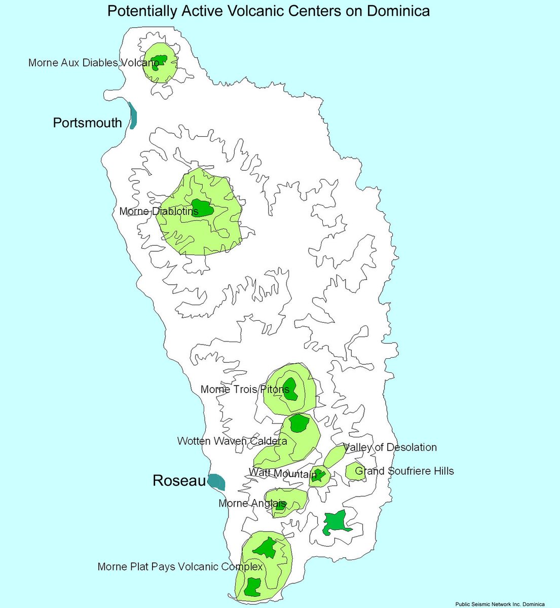
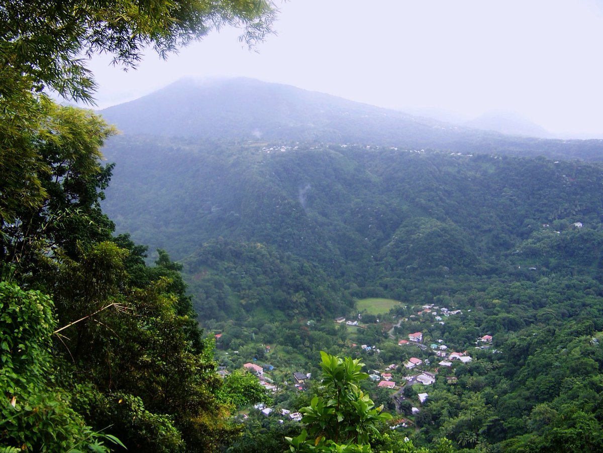
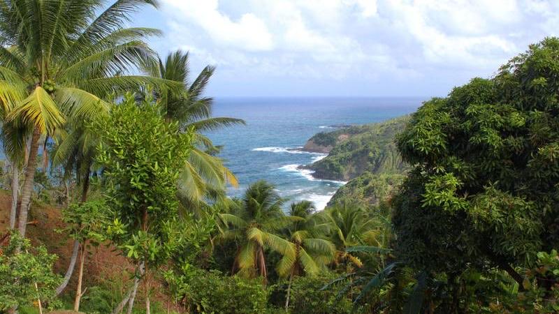
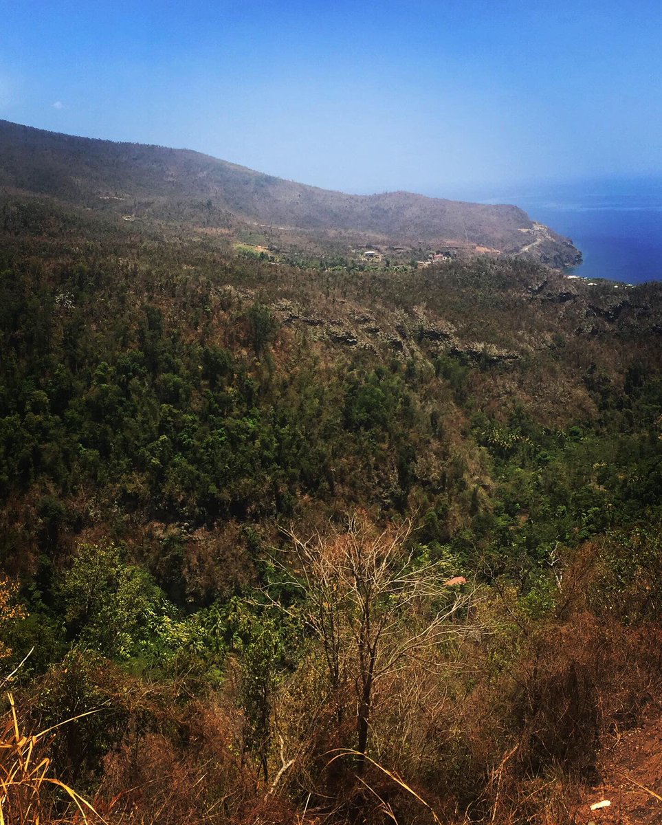
So I’m gonna try to do a thread on the volcanos in Dominica. Yes we have NINE (9) active volcano centers. I’ll start there
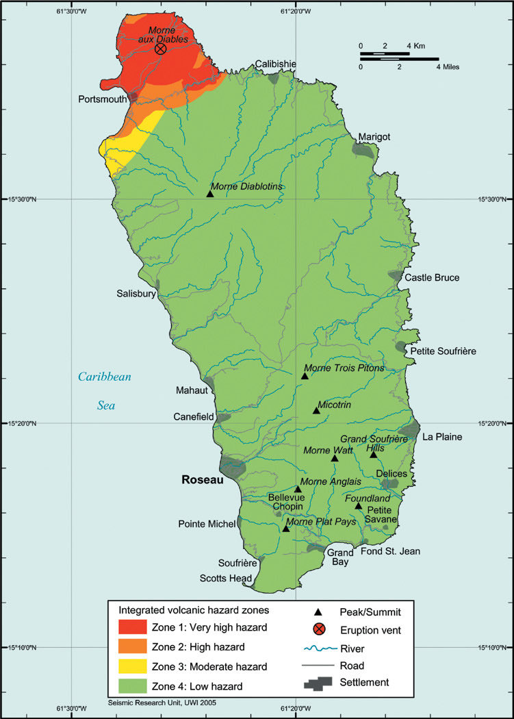
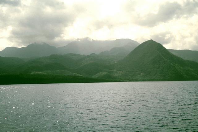
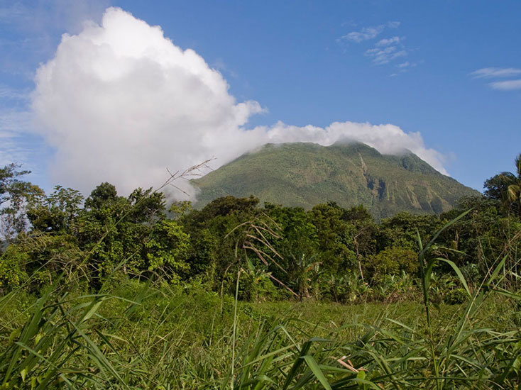
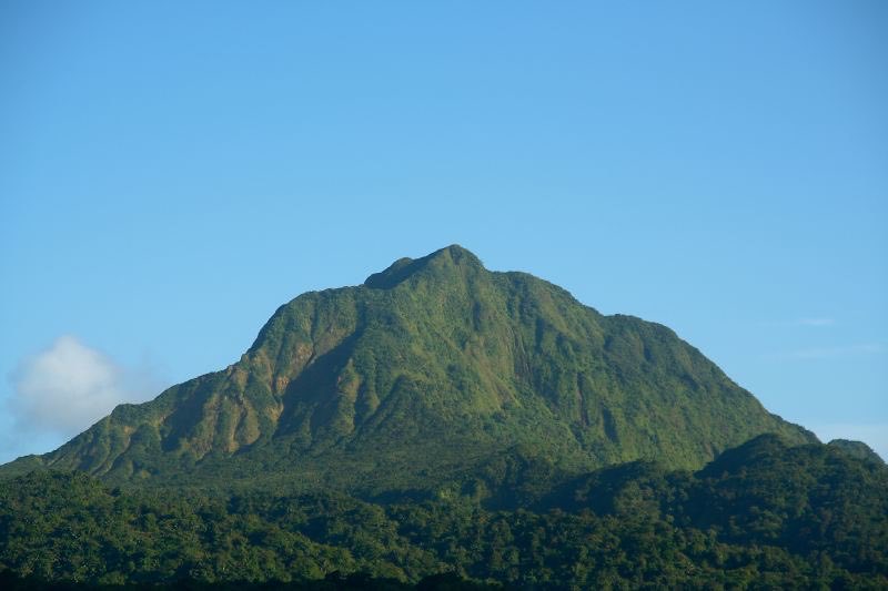
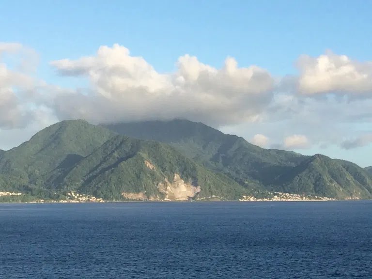
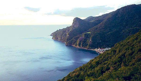
At the very north of the island and home to communities such as Penville, Toucari, Capuchin as Cocoyea is Morne Aux Diables. The name translates to “Devil’s Mountain”. As shown below it gives the island its iconic head shape.
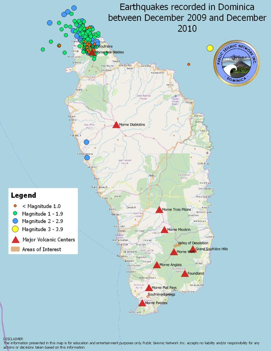
At an elevation of 861 m or 2,825 ft, it is another example of a stratovolcano. it is technically classified as dormant with the exception of a swarm of seismic activity between 2009-10. The last known eruption was in the late Pleistocene or Halocene era.
Next on the list is the largest volcano on island. Coming in at 1,447 m or 4,7,47 ft is Morne Diablotin. This magnificent mountain last erupted c. 30,000 years ago. That eruption is what gave the island its wide chest and features such as Pointe Round
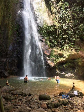
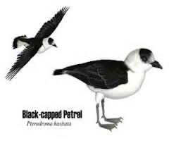
Situated in the northern center of the island it is home to attractions such as Syndicate Falls and the Northern Forest Reserve. The mountain is named after the black capped petrel which is locally known as the Diablotin due to the sound of its call.
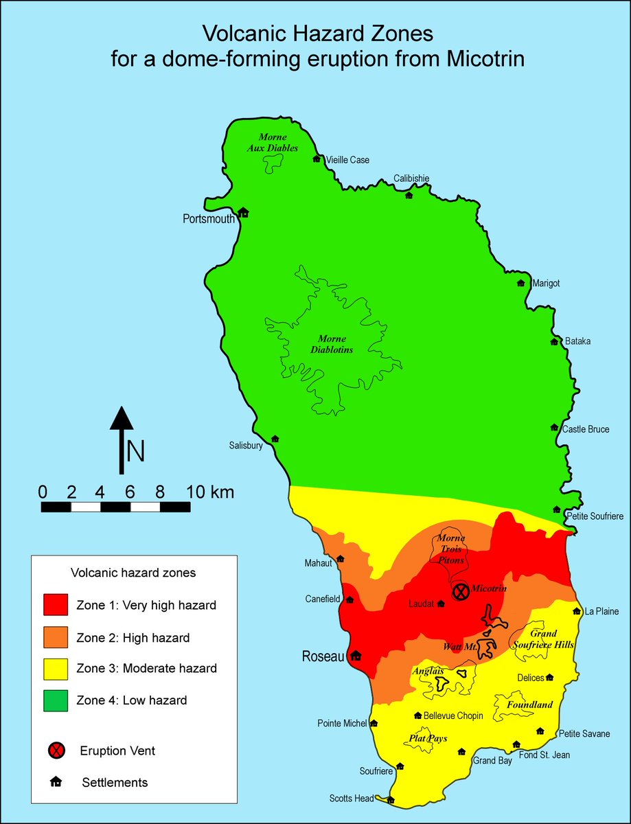
Jump over to the southern half of the island and we reach to the first of two lava dome complexes. Morne Trois Pitons comes in at 1387 m or 4550 ft and is the second largest on island.
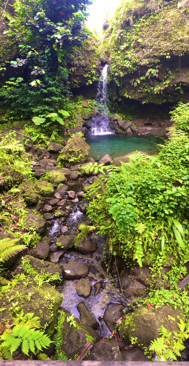
Many of the natural attractions such as Emerald Pool, Basin Chien, and Titou Gorge can be found on this peak. It gives its name to the Morne Trois Pitons National Park which was established as a UNESCO World Heritage Site in July 1975.
The last time Morne Trois Pitons erupted was circa 920 AD. This dome as well as the next on the list sit on a large semicircular depression that has been attributed to either a caldera collapse, gravity sliding or the juxtaposition of several independent volcanic centers.
Morne Micotrin (Morne Macaque) lies immediately south of Trois Piton. This peak forms the head of the Roseau Valley. Rising 1170m into the air it is a subduction volcano comprising mostly of basaltic andesite (much like in SVG)
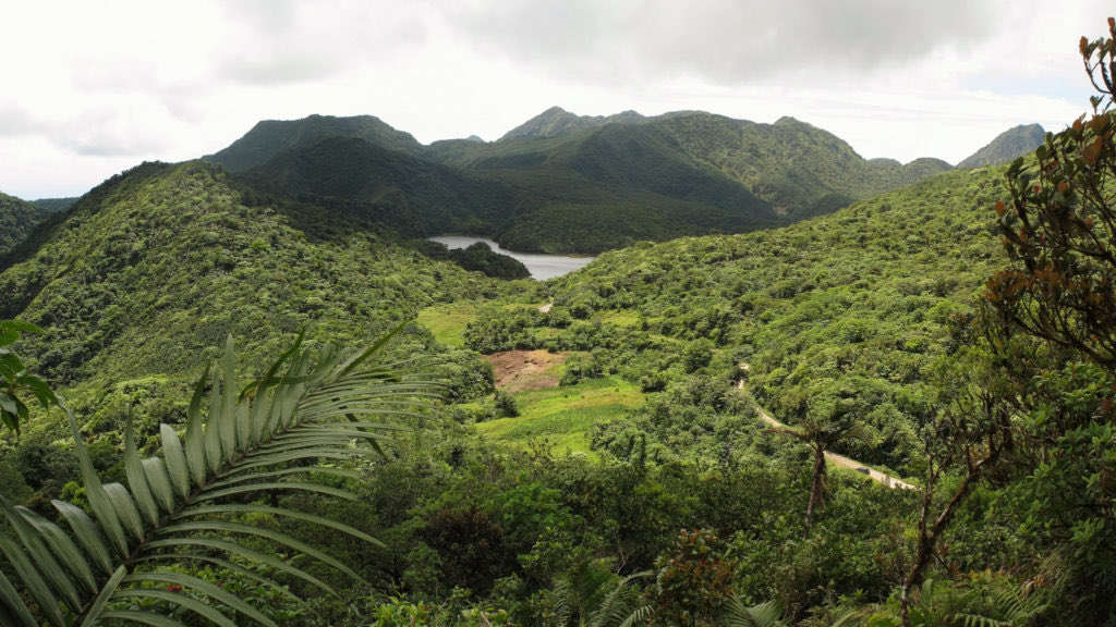
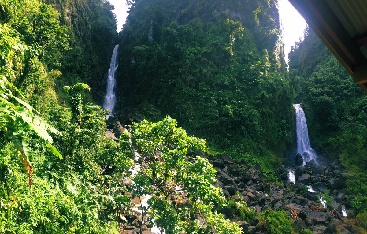
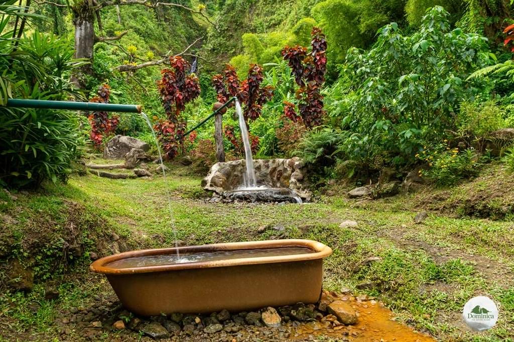
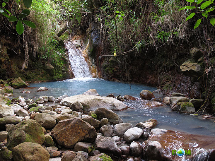
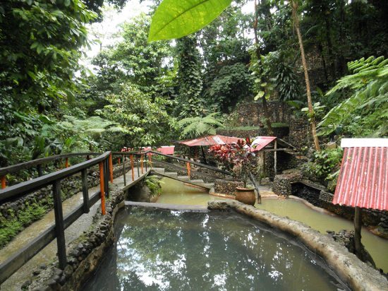
This mountain is home to iconic communities such as Trafalgar and Wotten Waven where you can find the Trafalgar Falls and sulfur springs like Ti Kwen Glo Chaud. It also home to our next volcanic center/geological feature in addition to the Freshwater and Boeri Lakes
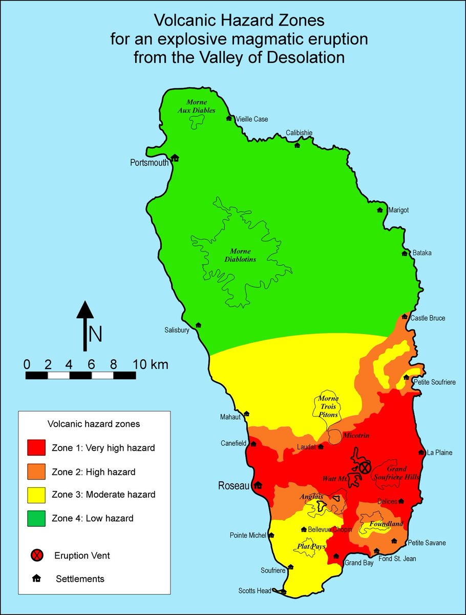
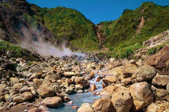
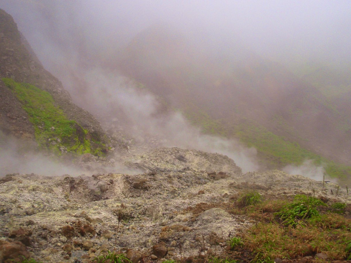
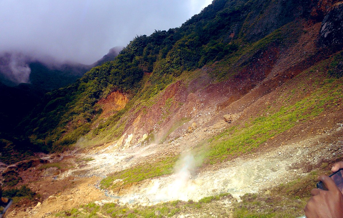
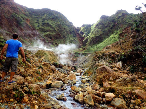
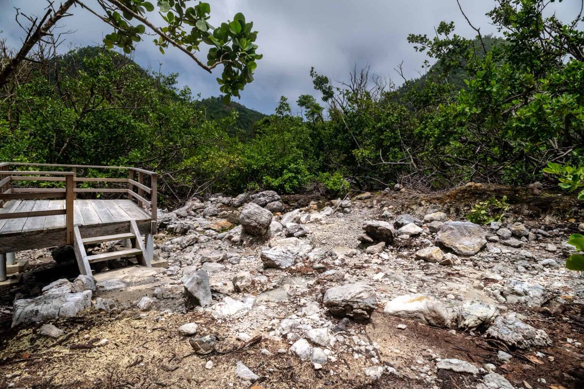
Now we reach the misunderstood yet immaculate beauty that is the Valley of Desolation. By now you would have realized that pretty much everywhere in Dominica is forested. That due to our mineral rich volcanic soil. But this area is an example of how volcanism can strip life away
Nestled in the valleys between Morne Watt, Morne Nicholas and Morne Macaque is this quirky gem of nature. Juxtaposed to the lush forest canopies surrounding it is a land littered with sulfur deposits, fumeroles and barren patches of earth where nothing seems to grow
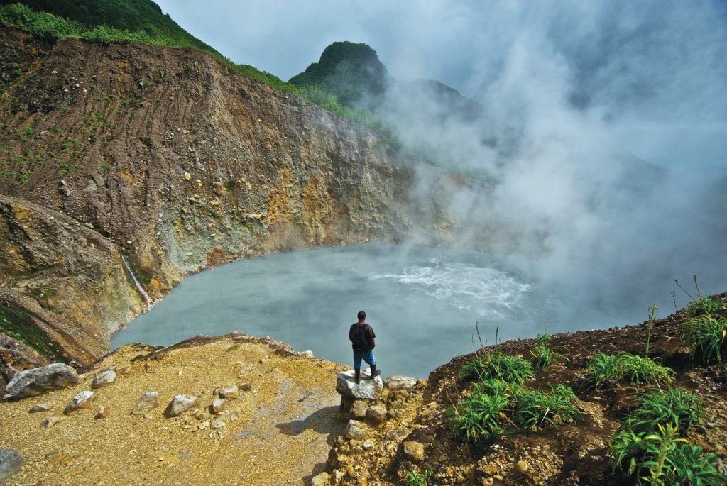
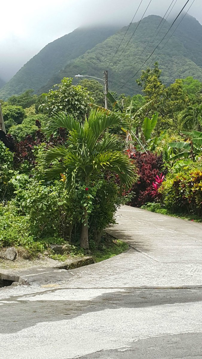
Roughly halfway to the Boiling Lake, The Valley of Desolation is a sulfurous valley of volcanic vents/hot springs that inhibit any significant plant growth. Technically dormant today the caldera last erupted in 1880. Below is the view hiking up the valley back to civilization
The Valley of Desolation is part of the Morne Watt Volcano complex which consists of one or more stratovolcanoes. At an elevation of 1,224 m (4,016 ft) it is the third tallest peak on island. It makes part of the mountain range circling the capital@of Roseau.
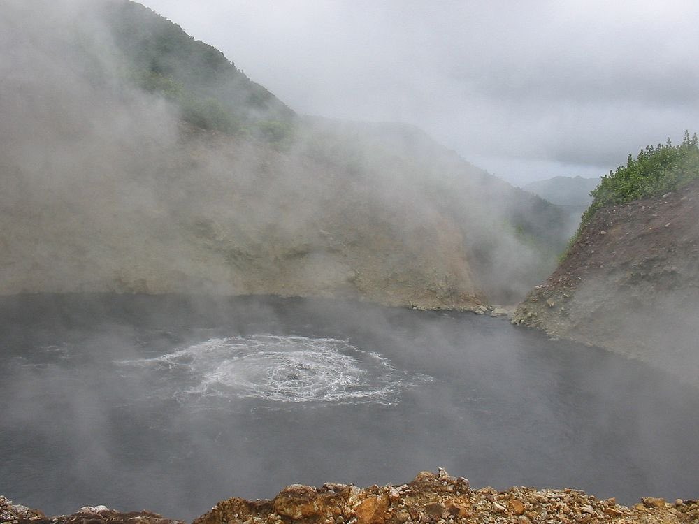
Morne Watt is also home to the Boiling Lake. This mountain was the source of an eruption ~1,300 years ago. A phreatic eruption in 1880 deposited ash 6.2 miles away from the summit. The only other recorded eruption was an VEI-1 phreatic eruption in July 1997.
Moving a little closer to the south east we find the Grande Soufrière Hills Volcanic Center. Home to communities like Délices and La Plaine.
Unfortunately there is not much information on the Grande Soufrière Hills of Dominica. It is however, home to many natural attractions such as Boli Falls and Citrus Creek.
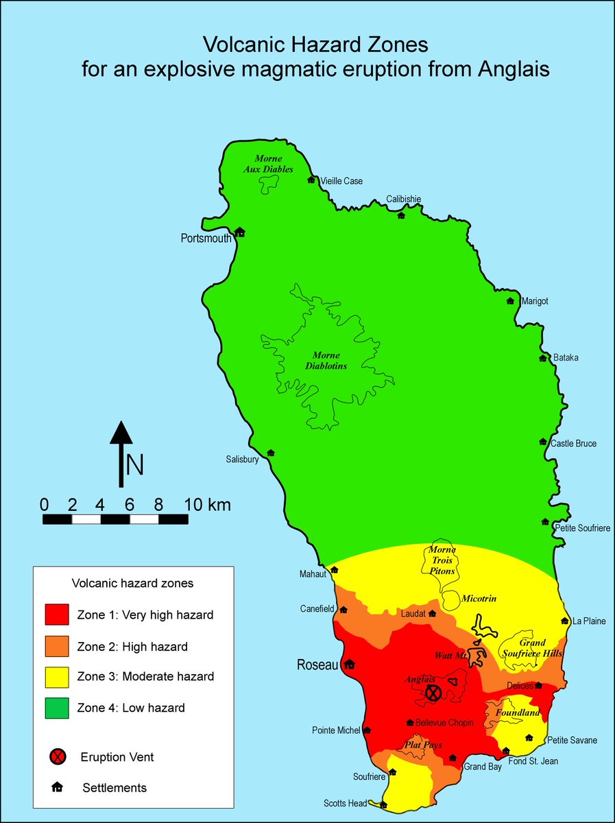
Wow this is longer than I thought but we almost done. The next stop on our volcanic island tour is Morne Anglais. Just south of the capital of Roseau, it makes up part of the scenic skyline over the south of the island.
At 1,110 m (3650 ft), Morne Anglais (English mountain) is one of the taller peaks in Dominica. Like most of the other peaks on island, the Waitukubuli National Trail traverses across it.
We’re so close to the end. I’m grouping these two together because they collectives form part of the Morne Plat Pays (Flat Foot Mountain) volcanic complex. Located on the southern most tip of the island these are some of the youngest volcanic centers on island
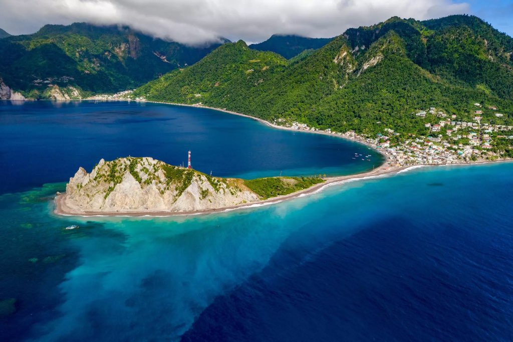
The first and more northern of the two is Morne Canot. There are no eruptions from this volcano since records have been kept. Overlooking the community of Pointe Michel, the slopes of this volcano roll into the sea where we see evidence of its continued activity
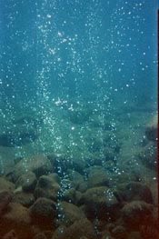
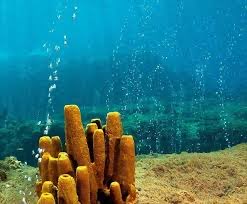
This peak is littered with many small fumeroles and hot pockets where the volcanic emissions are released. By far one of the most famous attractions in this area (apart from the whales) is Champagne Beach where a stream of volcanic gasses gives the seascape a champagne finish
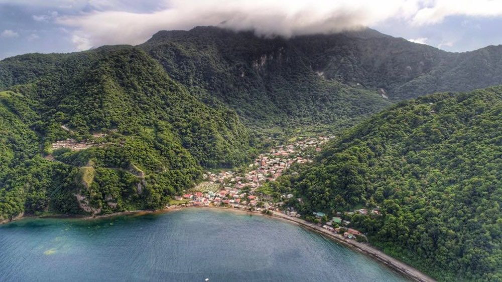
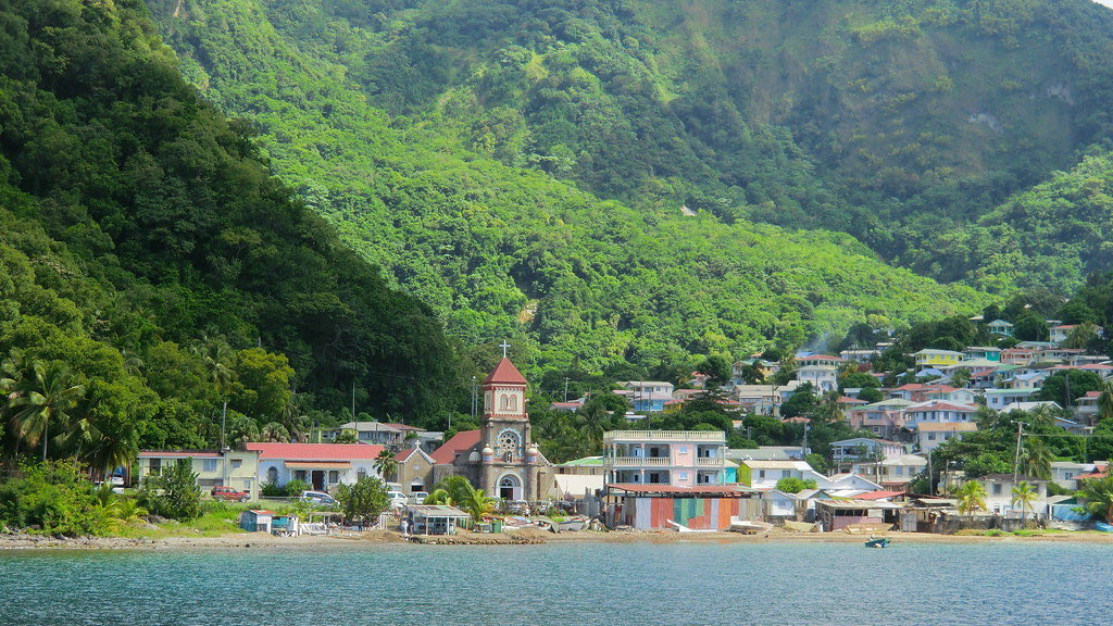
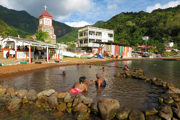
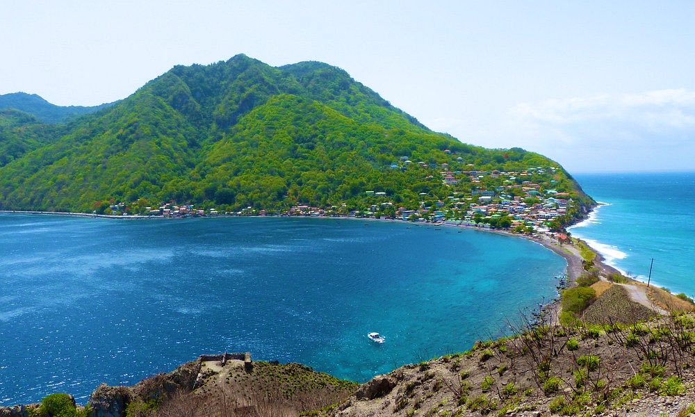
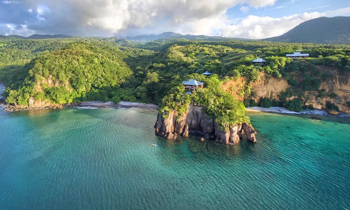
And lastly we have Morne Patates where we find the community of Soufrière nestled snugly in her valleys the youngest volcanic center on island, the last dateable volcanic deposits on island date to roughly 500 years ago and are associated with this peak
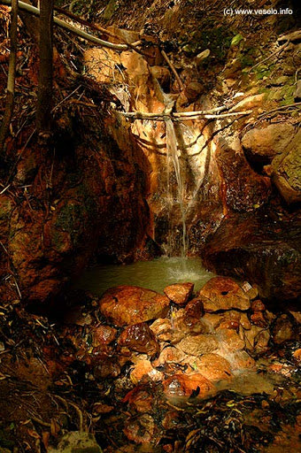
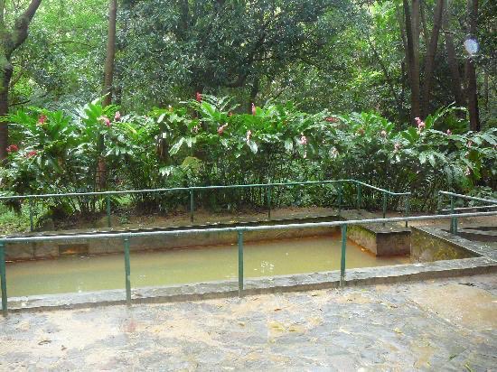
This mountain was formed through a Pelean eruption (similar to Mt Pèlee in 1902). It is home to sites such as the Soufrière Sulfur Springs and the Hot Springs by the beach. Three post-caldera lava domes were formed north of a large arcuate depression roughly 39,000 years ago
“At least a dozen small post-caldera lava domes were emplaced within and outside this depression, including one submarine dome south of Scott’s Head.” The last dated eruption of Morne Plat Pays was in 1270 AD though younger deposits have not yet been dated.
The Morne Plat Pays complex is one of the sites on island that has some of the most extensive fumarolic activity. Since 1765 at least 10 swarms of small-magnitude earthquakes have occurred at Morne Patates. Thankfully none have been associated with éruptive activity
There are many other volcanic features attributed to each of these mountains that I simply couldn’t fit into this thread. Some of these include rivers, waterfalls, cold soufrières, fumeroles among other things.
There is a general feeling that Dominica is long overdue for an eruption. Scientists have predicted that there will be at least 1 major eruption in the next 100 years.
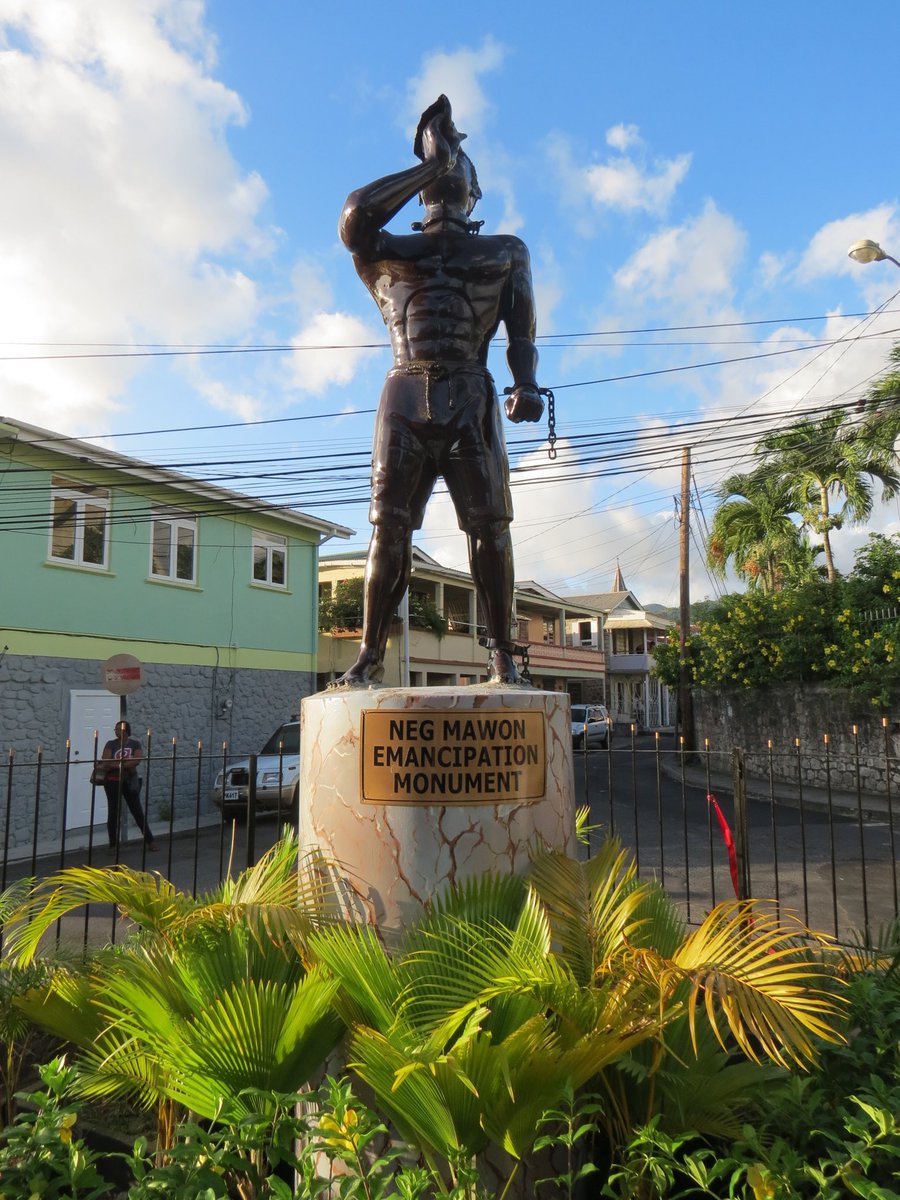
As beautiful as she is Dominica was one of the last islands to form in the Caribbean. Her mountainous terrain also ensured she was one of the last to be colonized and aided the Neg Mawons in their fight for freedom
The End. Thank you for joining us on the volcanic island tour. Remember each island is uniquely beautiful. Please help in anyway you can our sister island of St Vincent as their volcano is erupting. As of tomorrow I will be back posting information on the events on the ground

 Read on Twitter