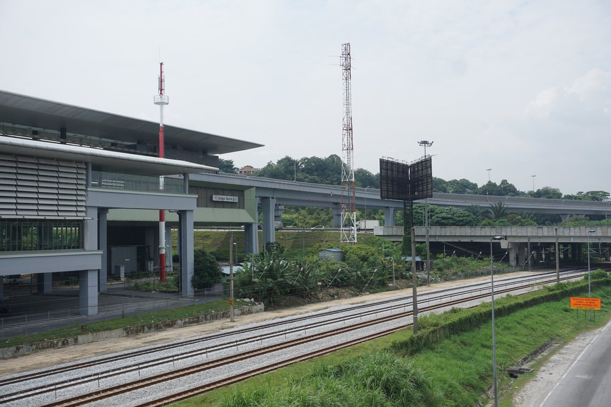
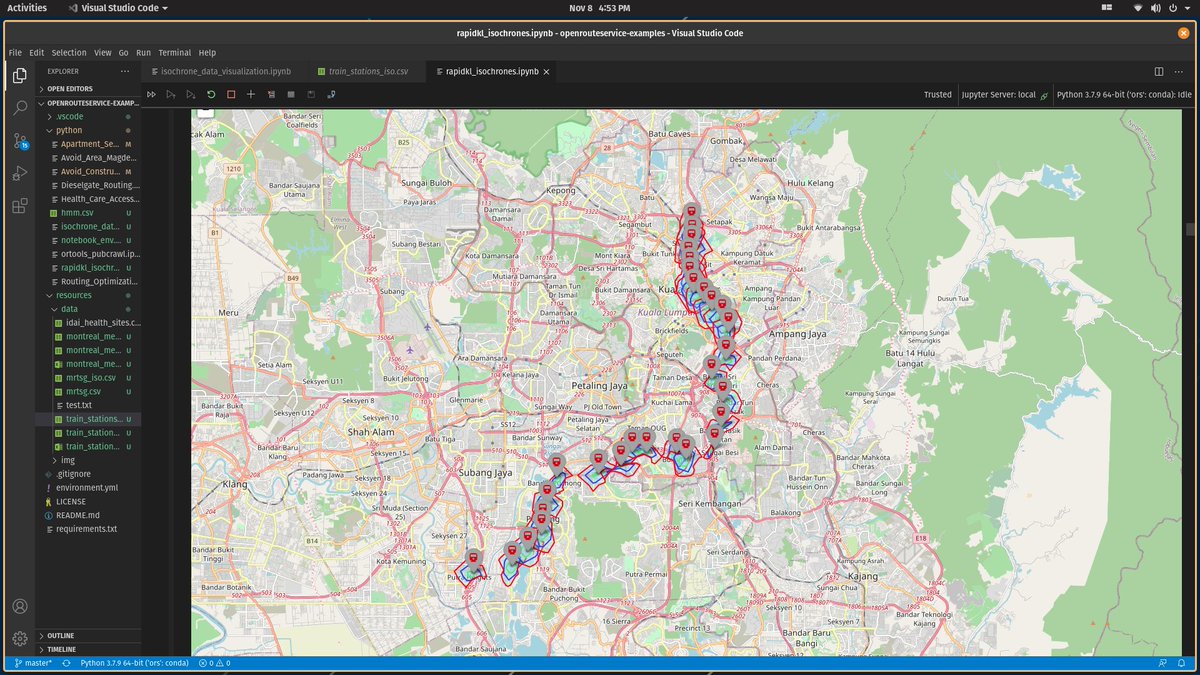
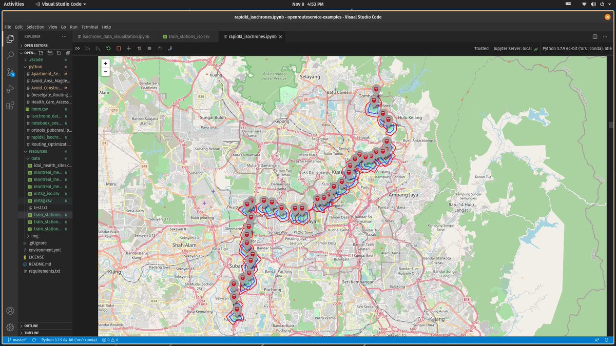
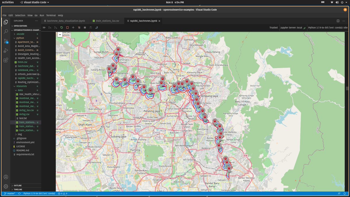
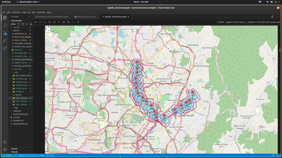
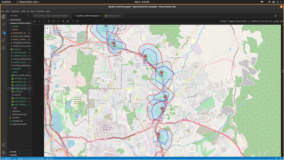
I try to take the train whenever I travel and i& #39;ve always felt that generally, they& #39;re pretty inaccessible. Usually next to large roads or highways. Pedestrians would find a hard time to get there. So I decided to do a little research. Here& #39;s a longgg over-ly complicated thread
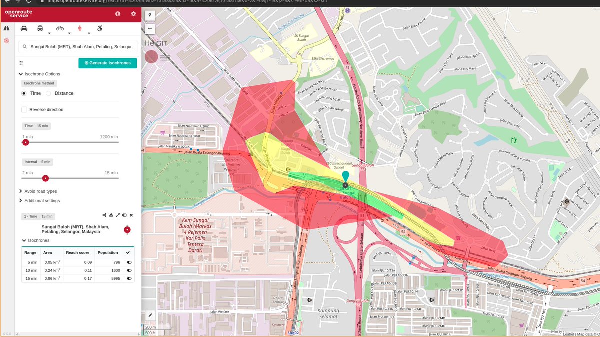
I drew isochrone maps on a station using
https://maps.openrouteservice.org/reach
This">https://maps.openrouteservice.org/reach&quo... is the Sg Buloh MRT station. Isochrone maps can show how far can you go from a single point in a given time. The green area takes you 5 minutes to walk, yellow takes 10 minutes, and red 15 minutes
https://maps.openrouteservice.org/reach
This">https://maps.openrouteservice.org/reach&quo... is the Sg Buloh MRT station. Isochrone maps can show how far can you go from a single point in a given time. The green area takes you 5 minutes to walk, yellow takes 10 minutes, and red 15 minutes
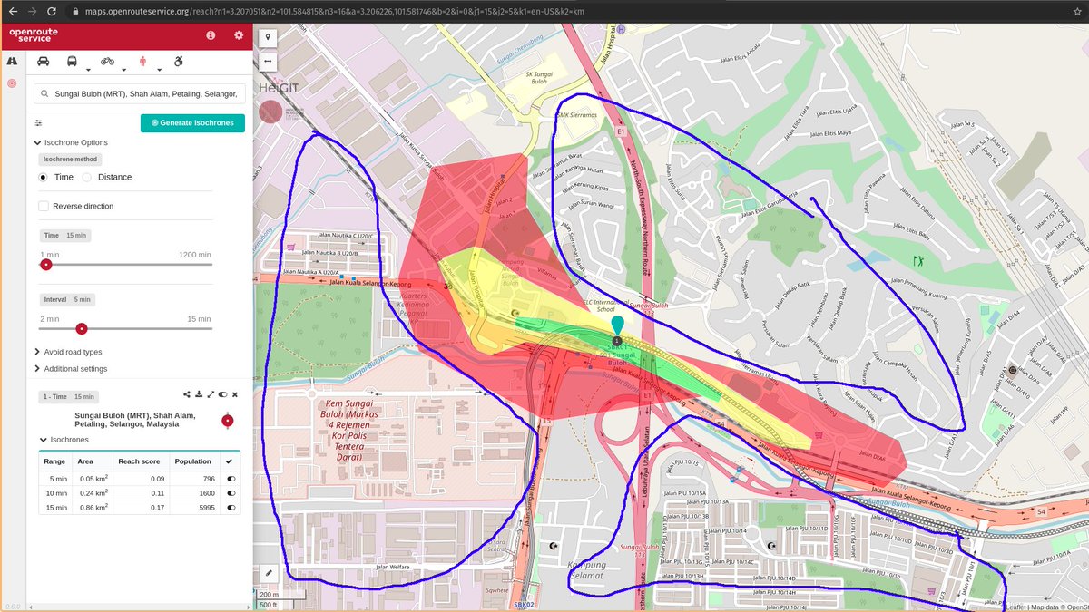
Honestly doesn& #39;t look great. 15 minutes walk will only get you slightly down the road. 5 Minutes on covers 0.05km2 area and 15 minutes only covers 0.86km2 area. If you live in the anywhere outside like the blue areas i covered you& #39;ll have to walk more than 15 minutes
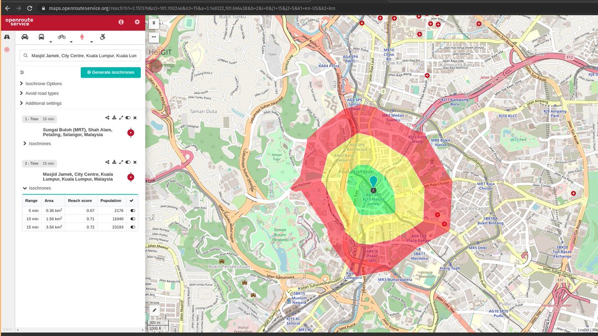
We can compare to a station like Pasar Seni in the middle of KL and it looks a lot more evenly covered. 5 minutes walking can get you anywhere within 0.36km2 area from the station. 15 minutes walk can get you 3.56km2 area. 4x the area covered by Sg MRT.
You could argue that Sg Buloh is an station where they expect people to drive the stations. So I decided to map every single train station in Klang Valley to get the average.
A bit of disclaimer, the map data used for all this is based off https://www.openstreetmap.org"> https://www.openstreetmap.org .
A bit of disclaimer, the map data used for all this is based off https://www.openstreetmap.org"> https://www.openstreetmap.org .
I went ahead and drew them all. They& #39;re not as pretty because i had to code the maps myself this time to save time and actually extract the data. The data from openstreetmap isnt perfect so expect some inaccuracy but it still gives a good idea.
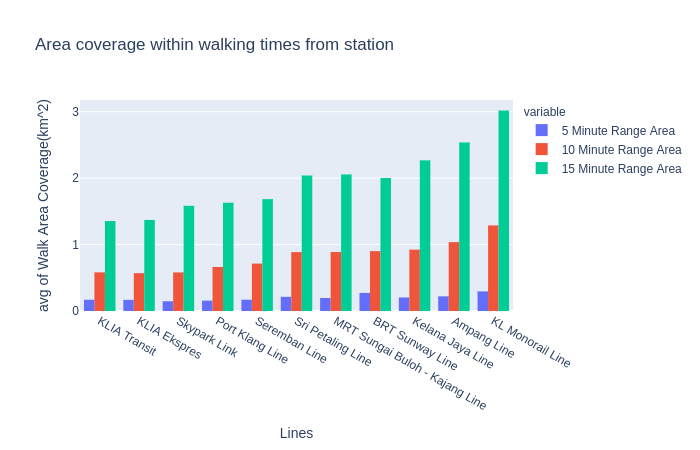
So here& #39;s an average chart for all the different train lines that we have. On average, KL monorail covers the most walkable area. Averaging ~3km2 that can be covered by a 15 minute walk. Aside from the airport lines, the komuters lines are worst off compared to the other lines.
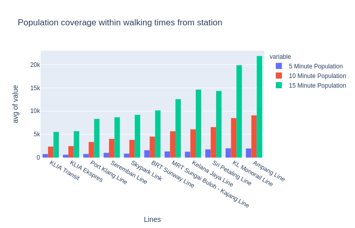
We can also use isochrones to show population coverage within a walking area time. Here it& #39;s the Ampang line that covers the most at over 20,000 people can walk to the stations within 15 minutes. The flashy new MRTs will need to catch up being almost half the coverage
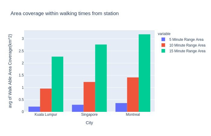
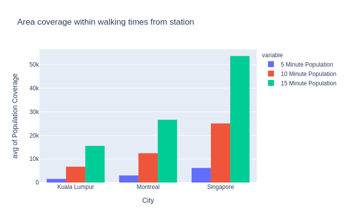
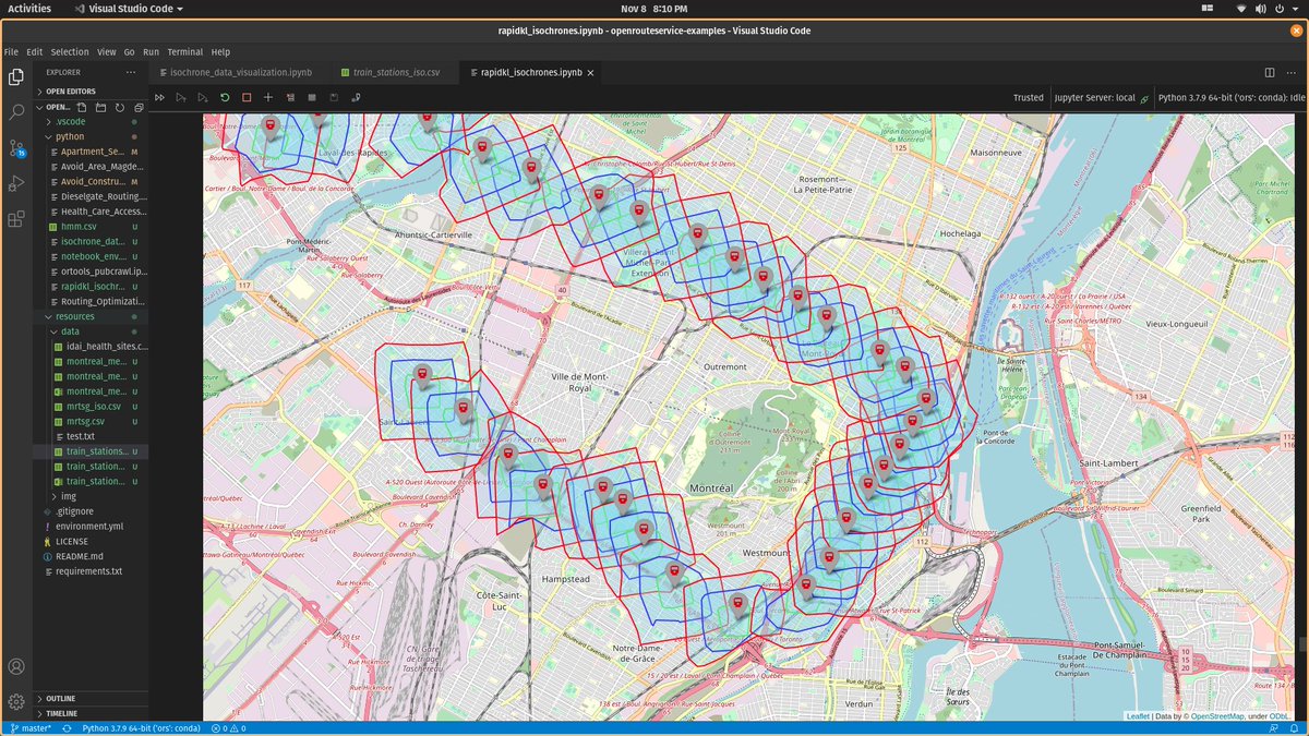
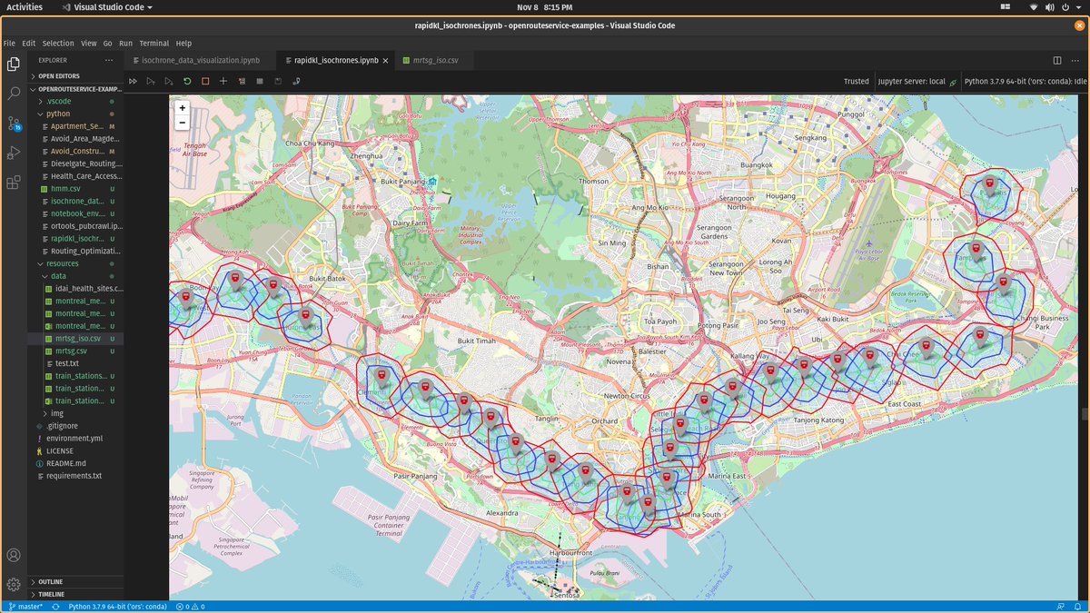
You may feel ask, what& #39;s the big deal. Is this just how it is? Well I compiled averages from two other cities that i& #39;m familiar with, Montreal and Singapore. And we& #39;re clearly behind
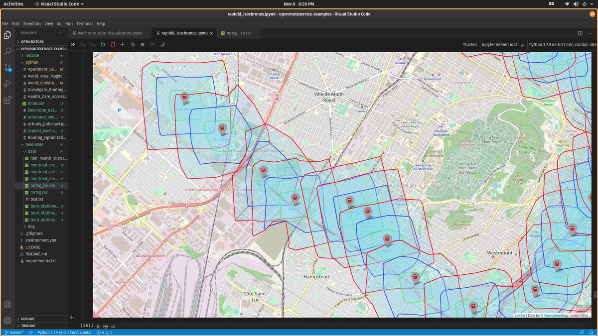
Montreal is a Canadian city with 68 metro stations. KL has a similar total population with montreal but their stations cover far more walk able areas and population. Clearly through better city and infrastructure design that allows people to walk.
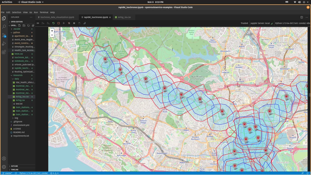
Then we have Singapore. A city famous for their MRTs. Our climate and culture are similar. So the notion that people don& #39;t want to walk because it& #39;s hot is not accurate. It& #39;s the lack of facility and design.
Note how evenly shaped the isochrones in Montreal and Singapore are. They really maximized the reach of their stations for pedestrians. Then we have whatever the shape of the ones for KL are for some of the MRT stations.
We really gotta stop building our stations in the middle of nowhere and next to massive highways. Better yet, we take down massive highways that do more harm than good. Then we really have to address on how poorly designed our cities are at maximising space for people not cars.
So that& #39;s the end of what basically is a very long rant that I put way too much effort into. But it was fun to learn how to put together all this. And would probably do more for other cities and stuff.
End of thread.
End of thread.

 Read on Twitter