Some interesting early maps of Cornwall — new post by me :) https://www.caitlingreen.org/2020/11/some-interesting-early-maps-of-cornwall.html">https://www.caitlingreen.org/2020/11/s...
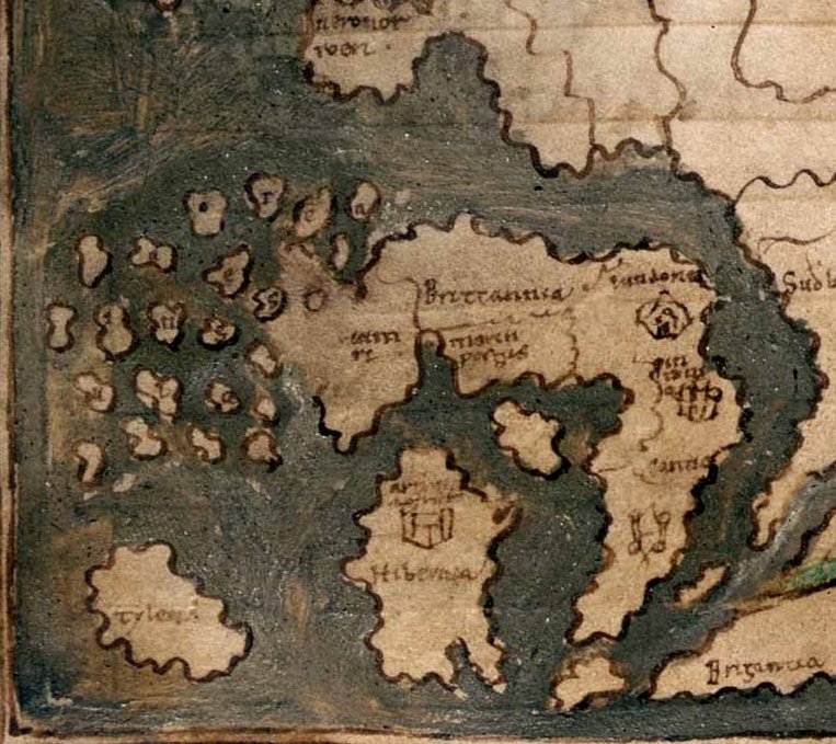
Detail from the Anglo-Saxon world map in Cotton MS Tiberius B V/1, dated c. 1025–50, probably drawn at Canterbury and derived from a Roman original; it shows an exaggerated Cornish peninsula with two ?fighting figures on it: https://www.bl.uk/collection-items/anglo-saxon-world-map">https://www.bl.uk/collectio...
Al-Idrīsī& #39;s mid-12th-century Arabic map of Britain, pieced together by me from three drawings in a 16th-century copy (MS Pococke 375: https://digital.bodleian.ox.ac.uk/inquire/p/636369c4-8e8b-4ace-8b99-c44643cb5975).">https://digital.bodleian.ox.ac.uk/inquire/p... Cornwall is again exaggerated and termed & #39;the extremity of England& #39;. For more on this map, see https://www.caitlingreen.org/2016/03/al-idrisi-twelfth-century-map.html">https://www.caitlingreen.org/2016/03/a...
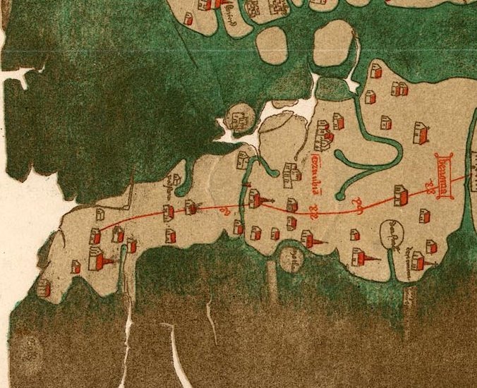
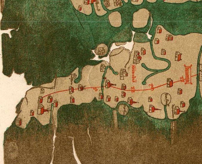
Map of Cornwall and the South-West, extracted from the map of England by Matthew Paris, c. 1250; the place-name on the far west of Cornwall is Bodmin, with Tintagel then to the north-east of this.
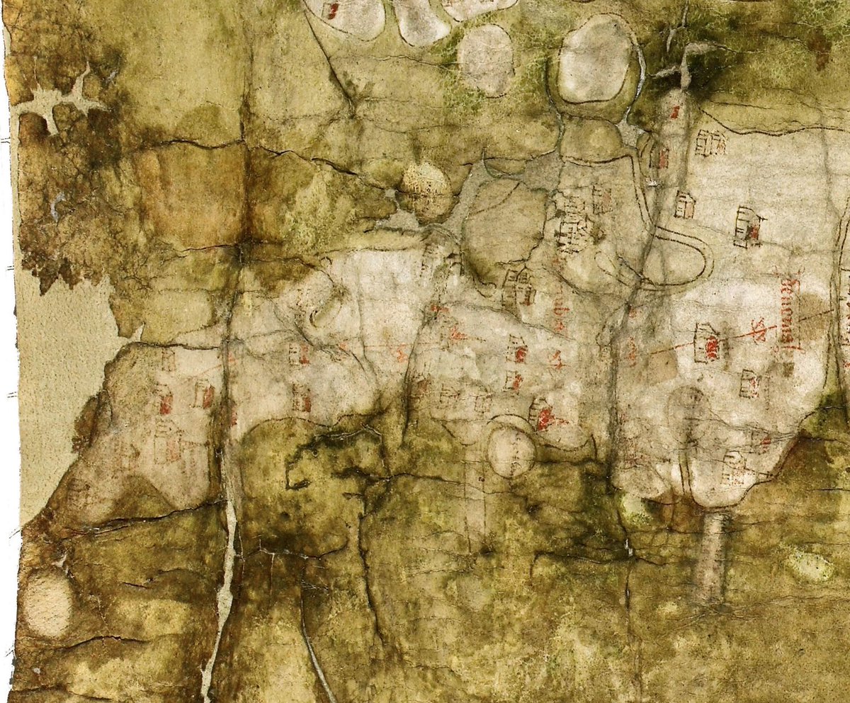
Close up of Cornwall and Devon on the fourteenth-century Gough Map. Important places are marked and the road is believed to terminate at St Ives, which is potentially a point of some interest with regard to St Ives& #39;s local import in the medieval era: http://www.goughmap.org/map/ ">https://www.goughmap.org/map/"...
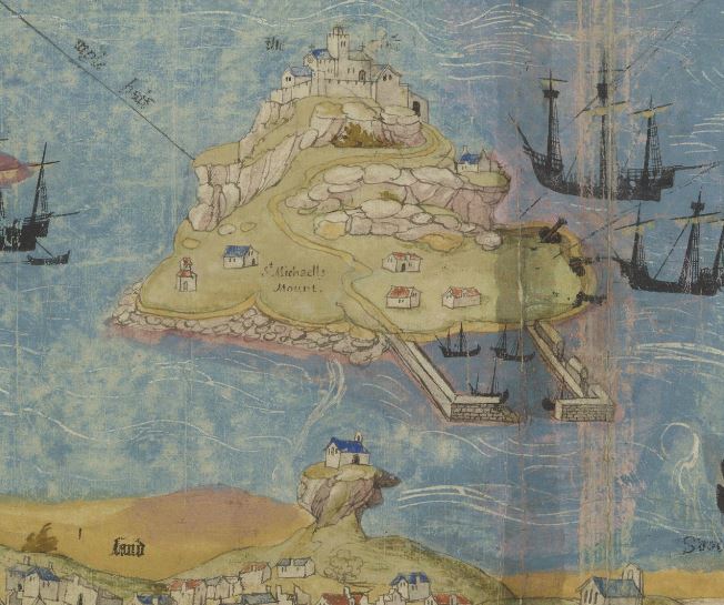
Extract from the Angliae Figura showing Cornwall and Devon, a vellum map probably created in the 1530s and perhaps hanging at Hampton Court as the property of Henry VIII: http://www.bl.uk/onlinegallery/onlineex/unvbrit/a/001cotaugi00001u00009000.html">https://www.bl.uk/onlinegal...
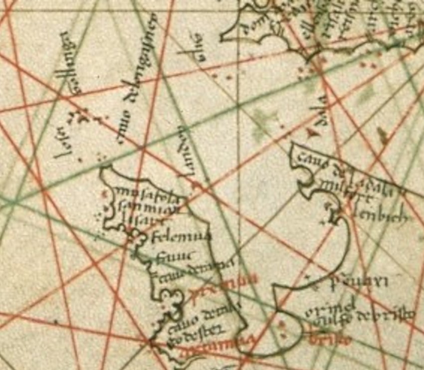
Three medieval portolans showing Cornwall and Devon, dated c.1331, 1466 & 1510; note the increasing detail on the north coast. The places named include Mousehole, St Michael& #39;s Mount, Falmouth, Fowey and Plymouth—see https://www.caitlingreen.org/2020/11/some-interesting-early-maps-of-cornwall.html">https://www.caitlingreen.org/2020/11/s... for more details on each of these maps.

 Read on Twitter