Couldn& #39;t resist going for a walk around ... Bedlam& #39;s Bottom, which sounds like a ribald euphemism. Keeping up the puerile humour, it& #39;s not far from Raspberry Hill and Ladies Hole Point.
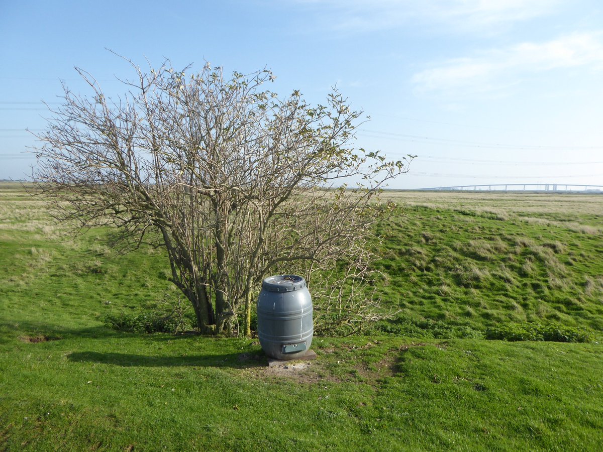
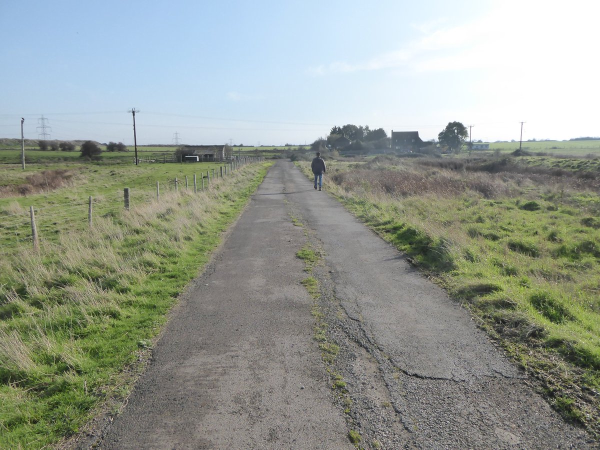
On a clear crisp day, this is a really nice 3hr walk. This is hunting country, though, something to bear in mind if it& #39;ll make you grumpy enough to spoil your walk. Expect wildfowl feed barrels, blokes in camo hides persecuting unsuspecting birds, Barbour-wearing tossers etc.
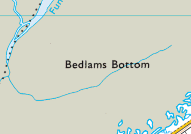
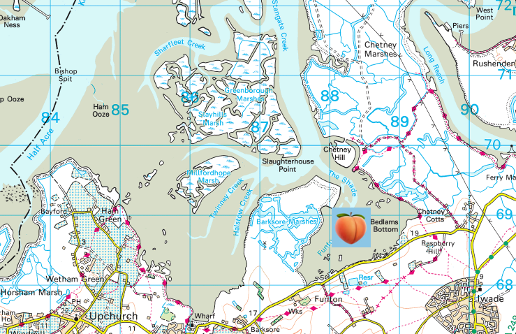
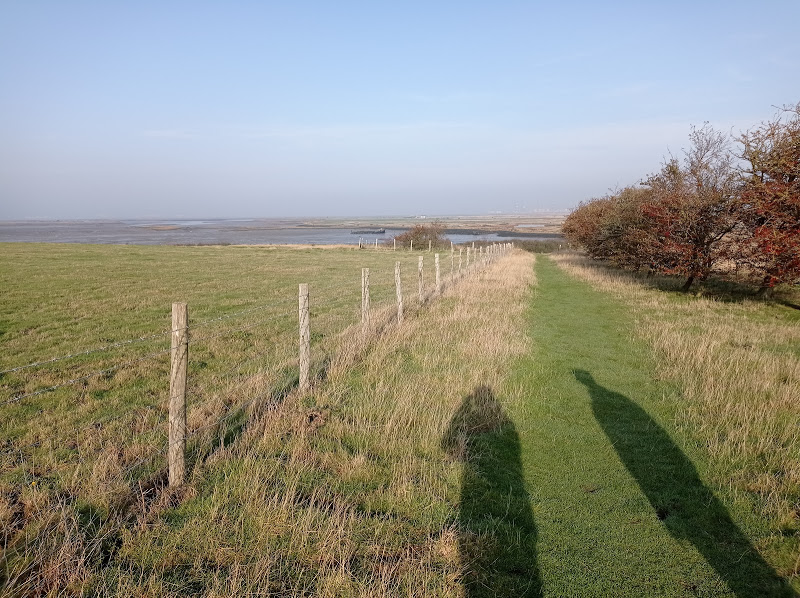
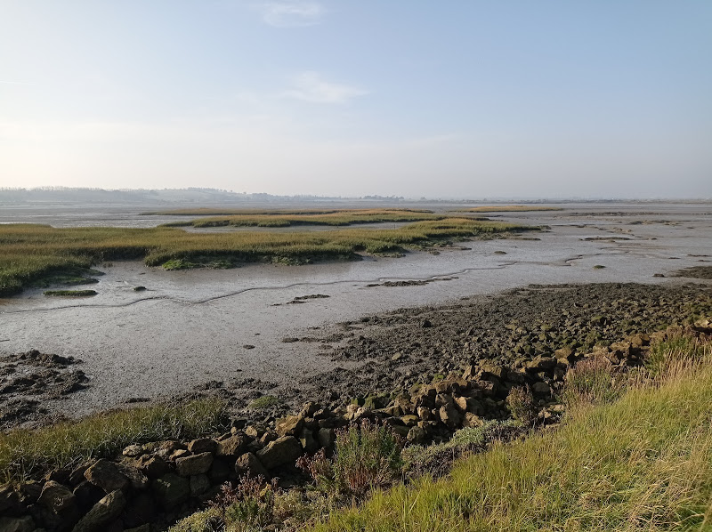
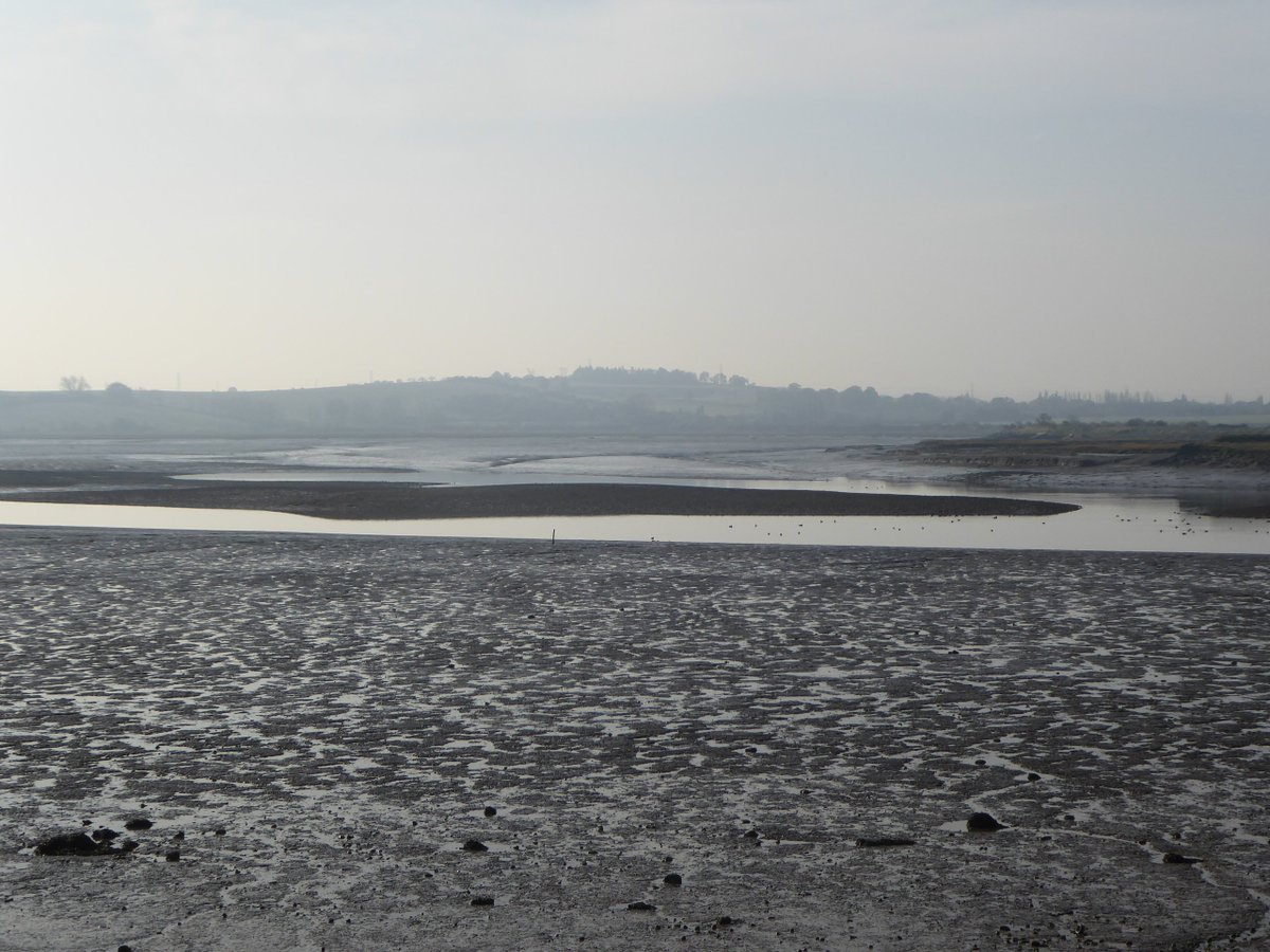
As you can see, Bedlam& #39;s Bottom is a little backwater bay forming part of the larger, complex and crenellated, marsh-island-pocked Medway estuary, itself counted as part of the larger Thames estuary I think.
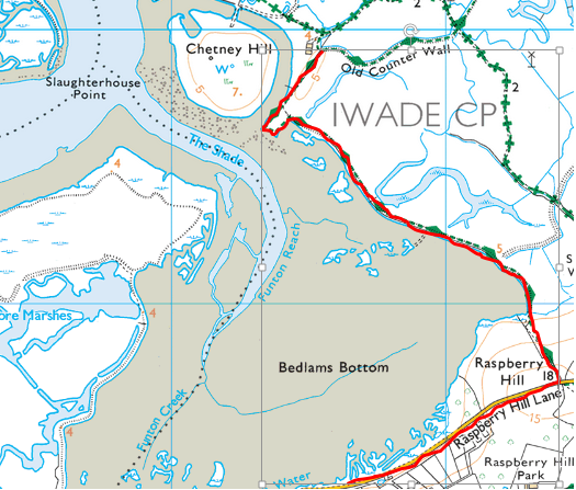
We started on Raspberry Hill Lane and walked east up Raspberry Hill, which stands a majestic 18 whole metres above sea level, then joined the Stour Valley Walk taking us north, back down to join the east cheek of Bedlam& #39;s Bottom.
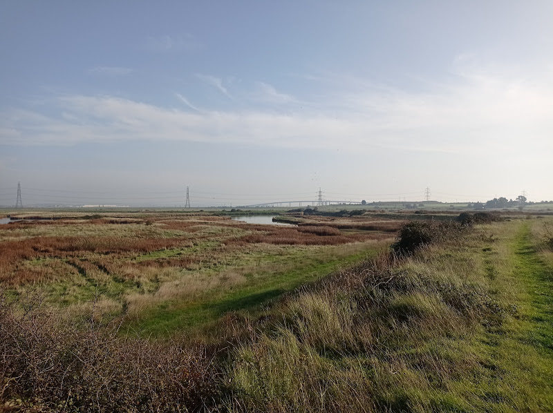
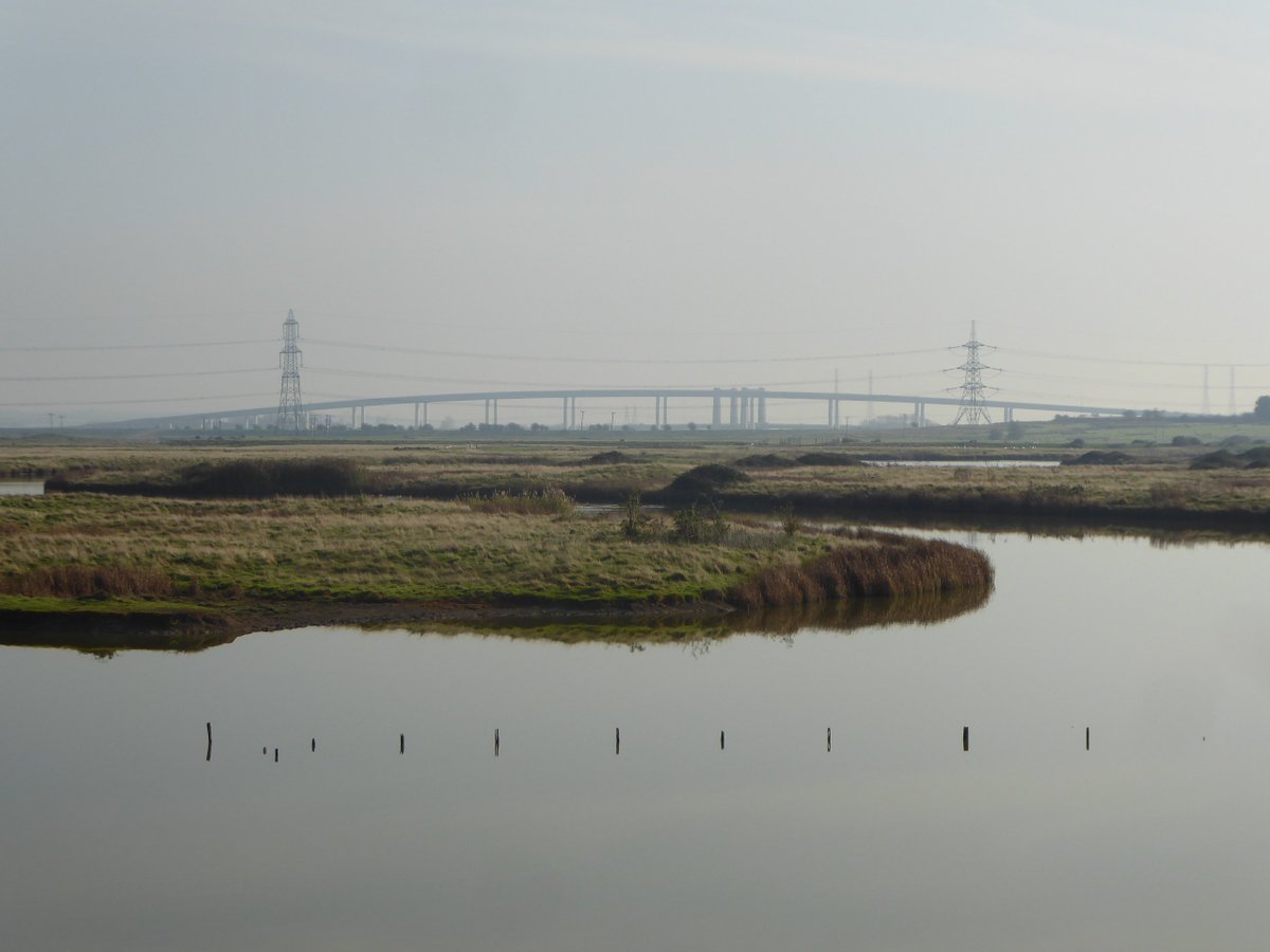
Despite the odd shotgun pop this is - if you can compartmentalise the rumble and roar from the Sheppey road bridge - a gloriously peaceful walk. We ran into not one person on this first lockdown Saturday when a lot of the coast was probably chocka.
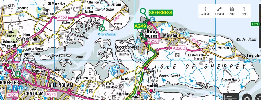
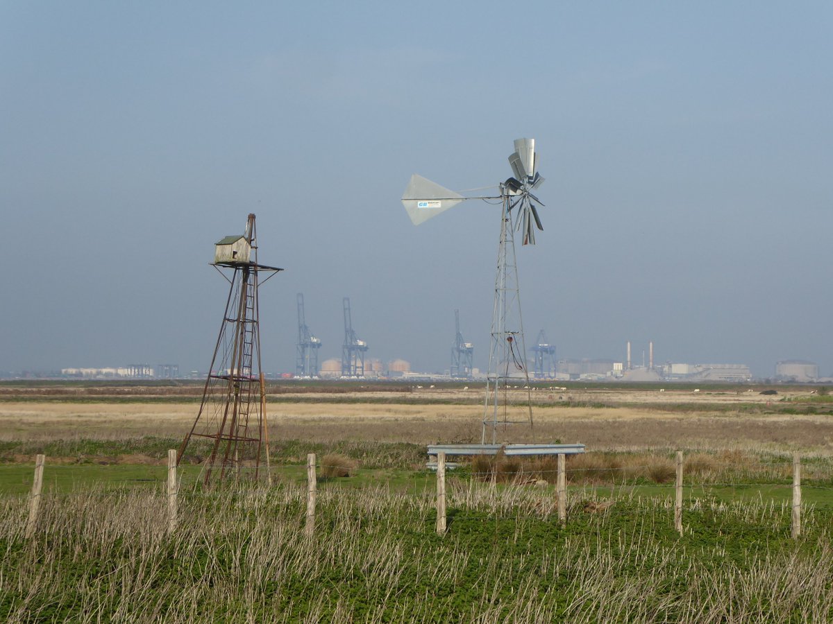
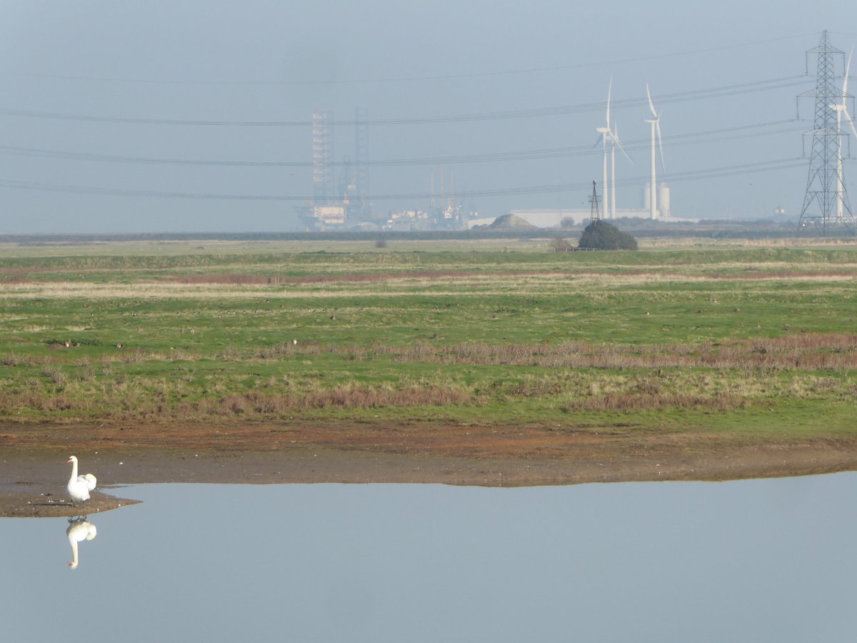
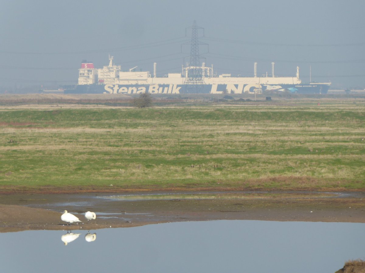
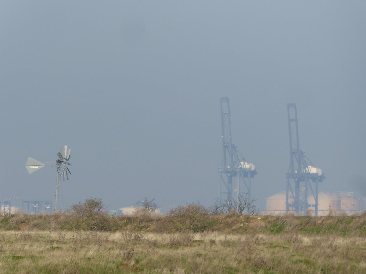
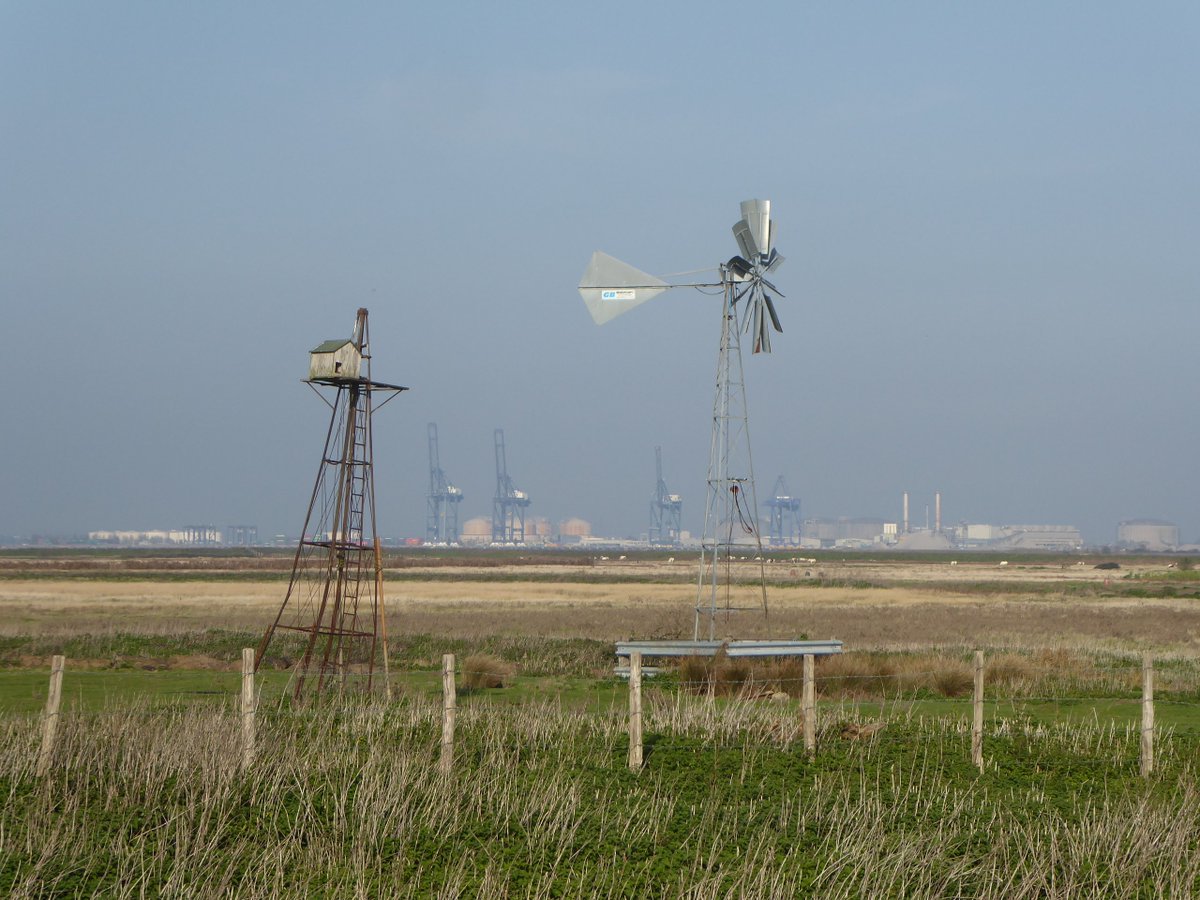
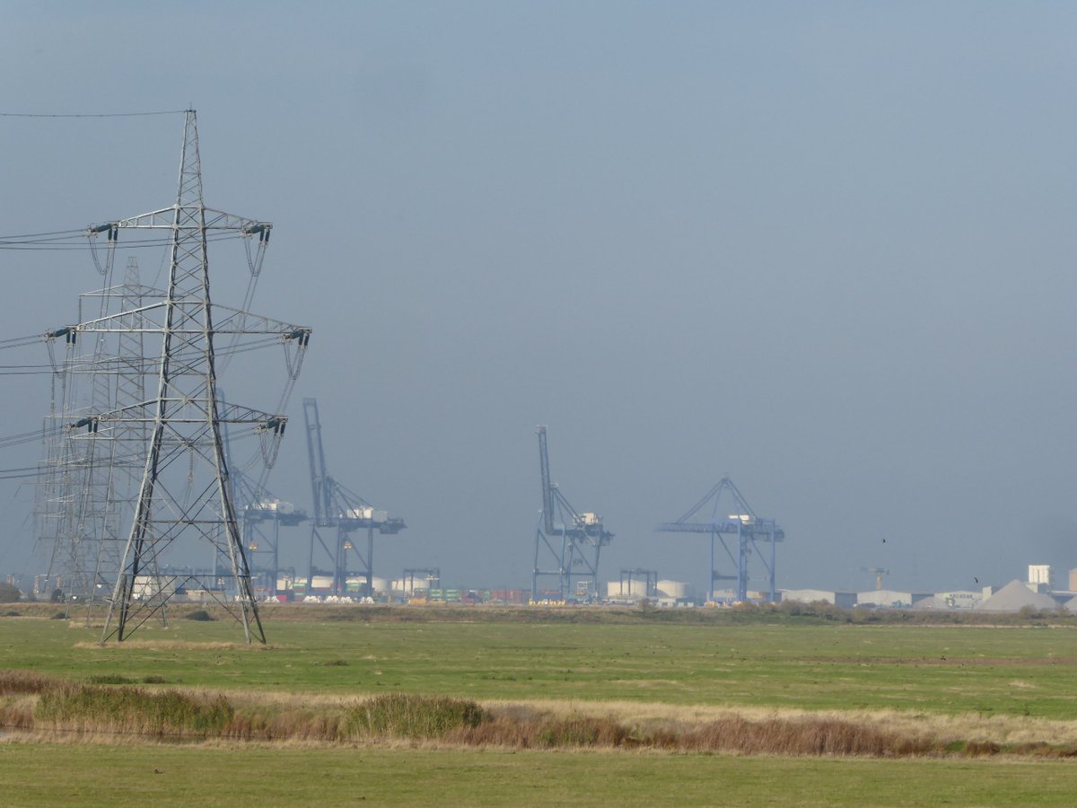
There& #39;s an obvious echo of @RobGMacfarlane& #39;s explorations of the peri-industrial Essex coast and countryside on the opposite shore of the Thames estuary, because the marshlands and wildlife are backgrounded by the heavy industry of the hulking, maligned isles of Grain and Sheppey
CORRECTION: Not the Stour Valley Walk but the Saxon Shore Way! Brain fart. https://twitter.com/gawanmac/status/1325120549731840000">https://twitter.com/gawanmac/...
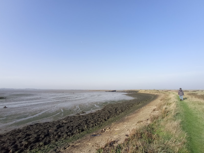
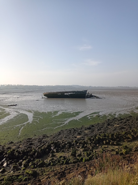
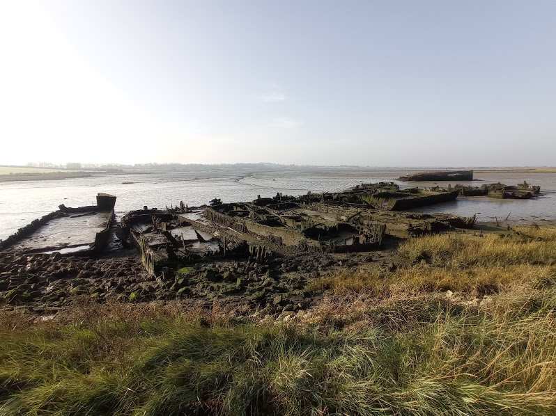
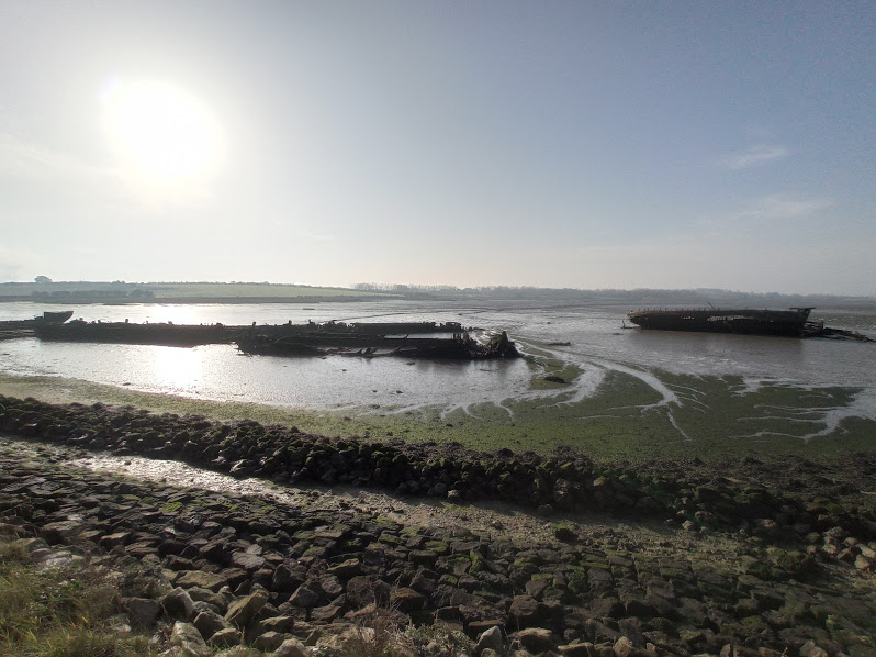
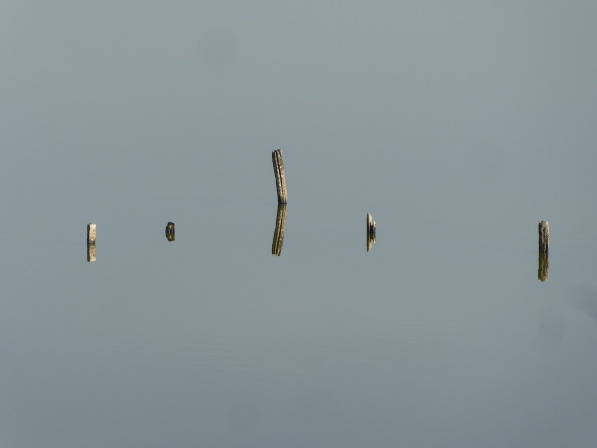
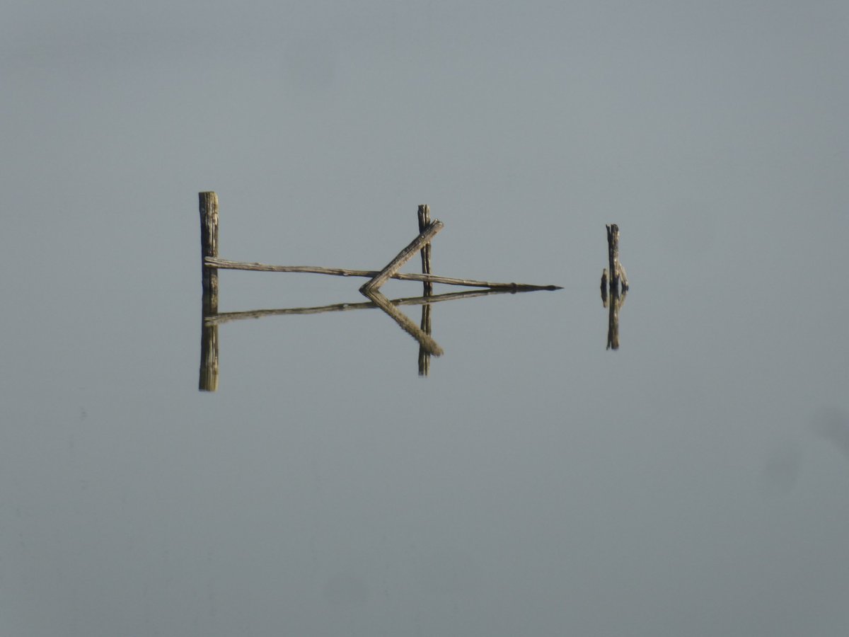
Bedlams Bottom turns out to be a graveyard for old ships and barges, rotting and sinking into the tidal mud. In one place they& #39;re laid out side by side like coffins at a plague burial.
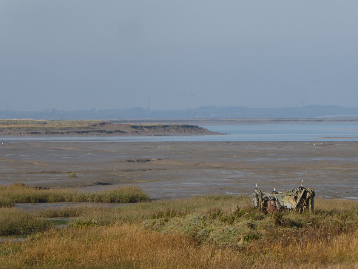
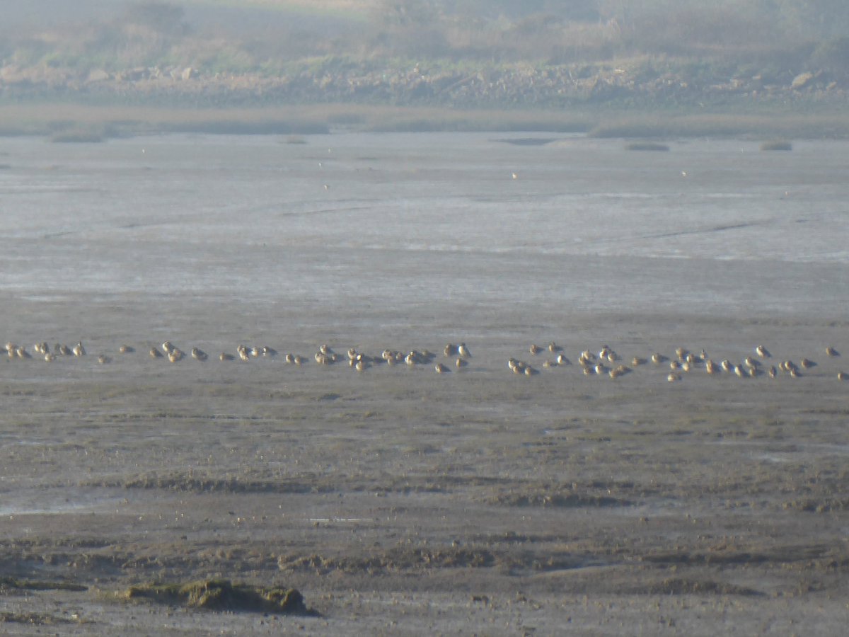
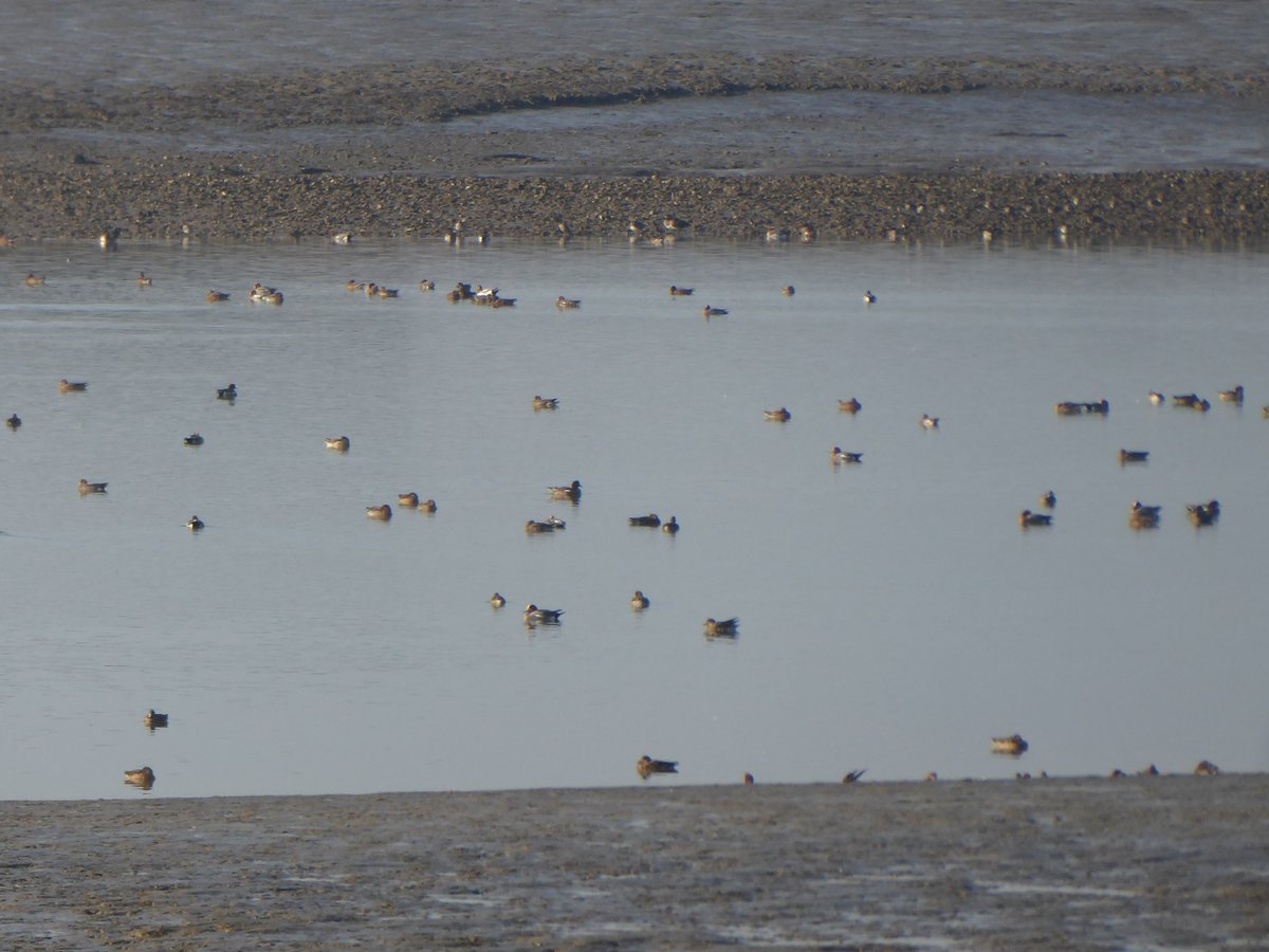
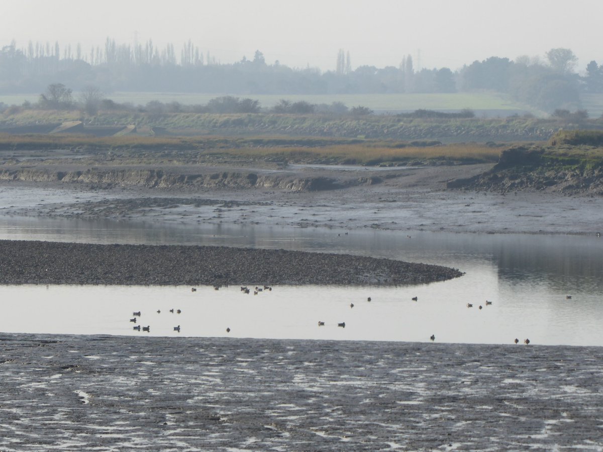
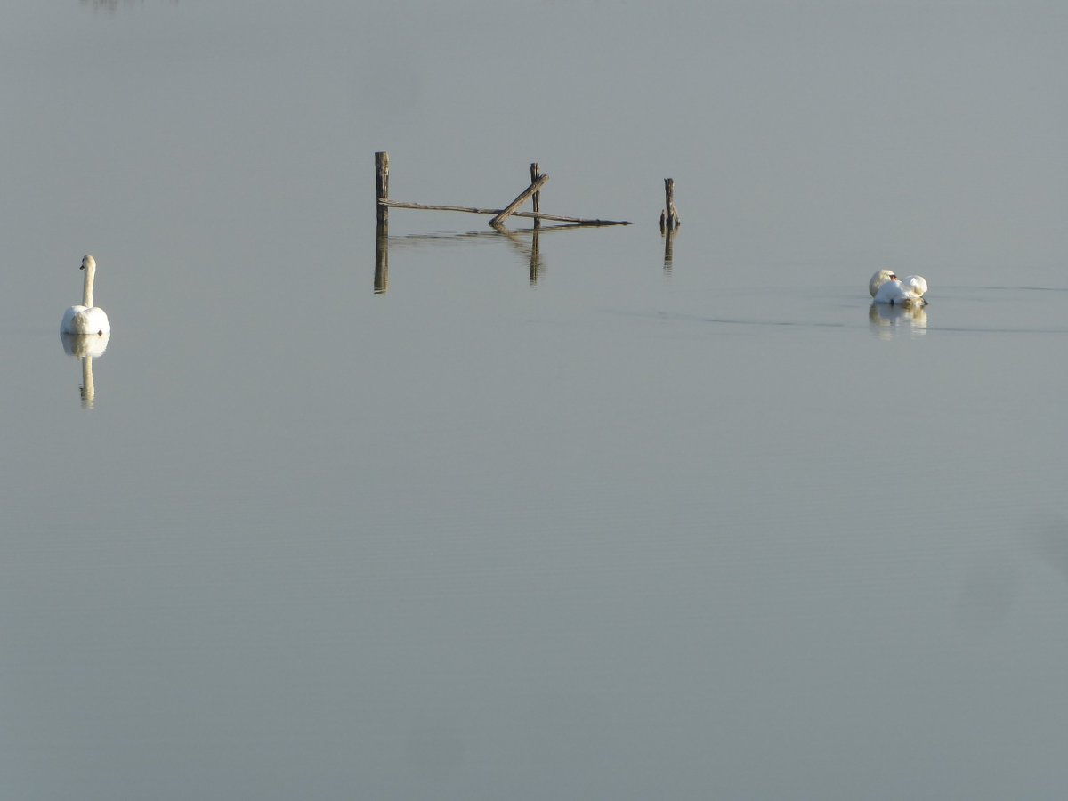
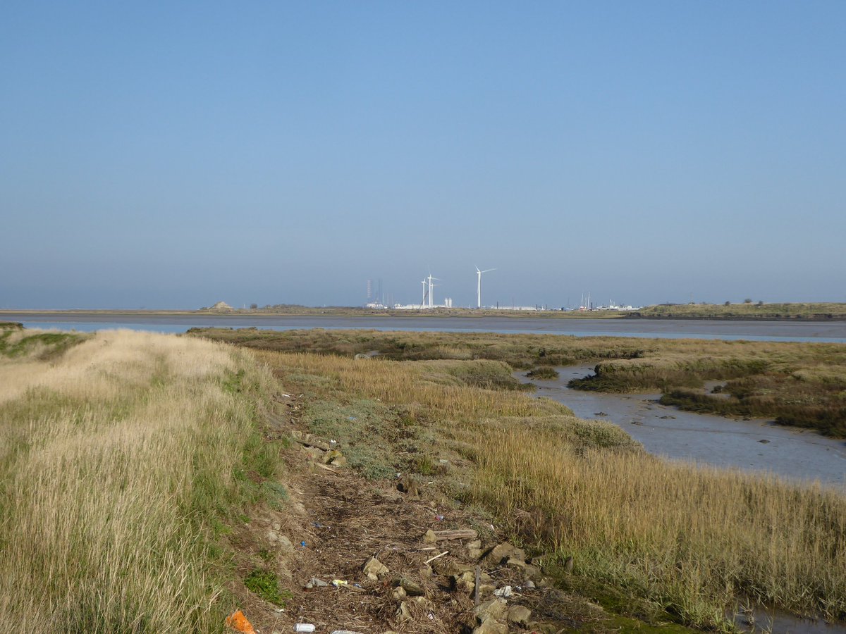
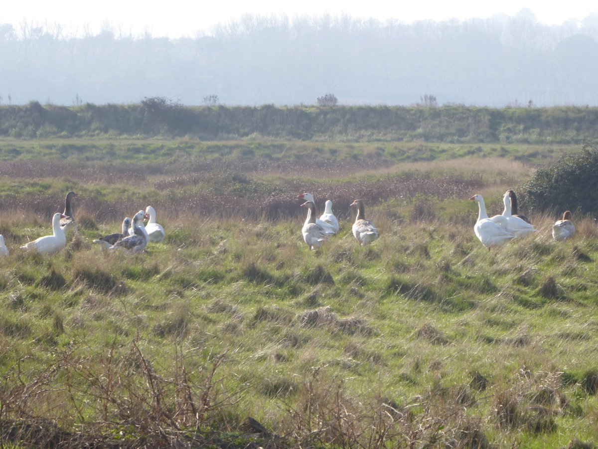
The mixture of tidal muds and salt marsh, and the peaceful shelter of this bay within a bay within a bay - a rather fractal geography - means it& #39;s busy with feeding and roosting shorebirds and wildfowl.
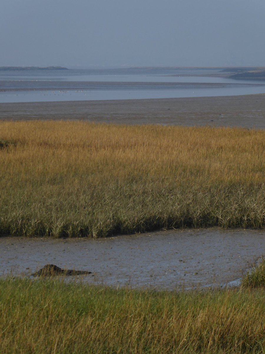
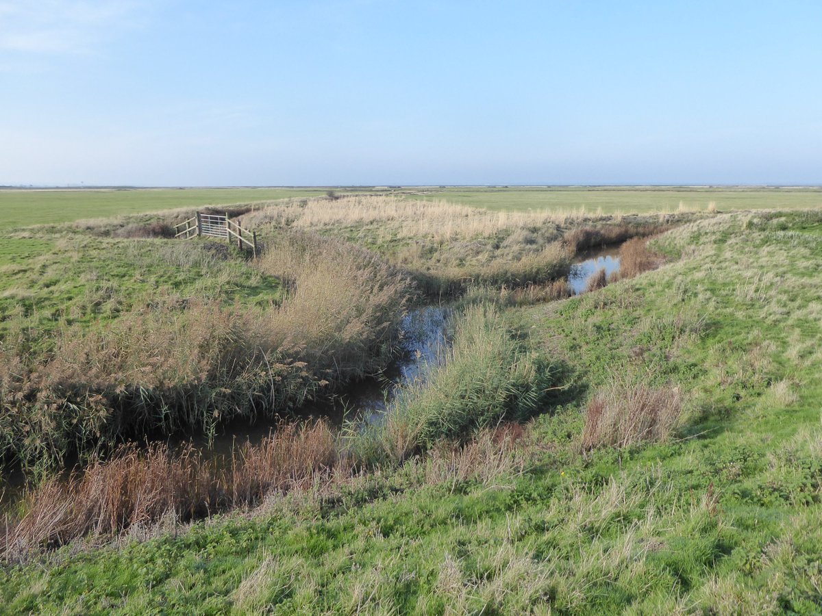
This low, flat place is deceptive - up close it& #39;s revealed to be unsimple, a layered and infinite landscape, riddled with niches, boltholes, havens, expanses, cover & sightlines, larders, corridors dry and wet - wildlife diversity and abundance loves and needs these complexities.
the peace somehow is - if you can get in the right frame of mind - accentuated by its contrast with the background thundering and grumbling of the roads
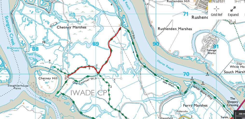
Faced with the choice of heading back to our starting point and heading home, we decided to track across this peninsula that Chetney Marsh sits on, realising we could reach the bank of the Swale - the seawater channel that (just and no more) makes Sheppey an island.
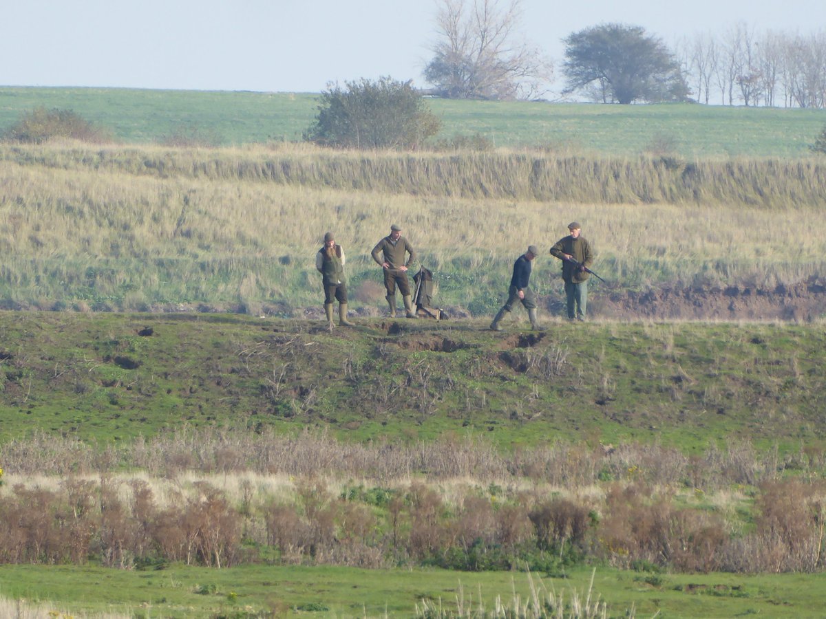
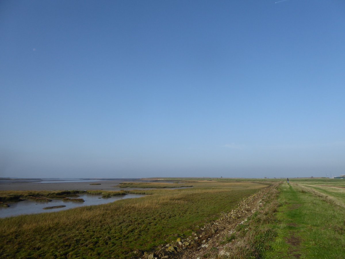
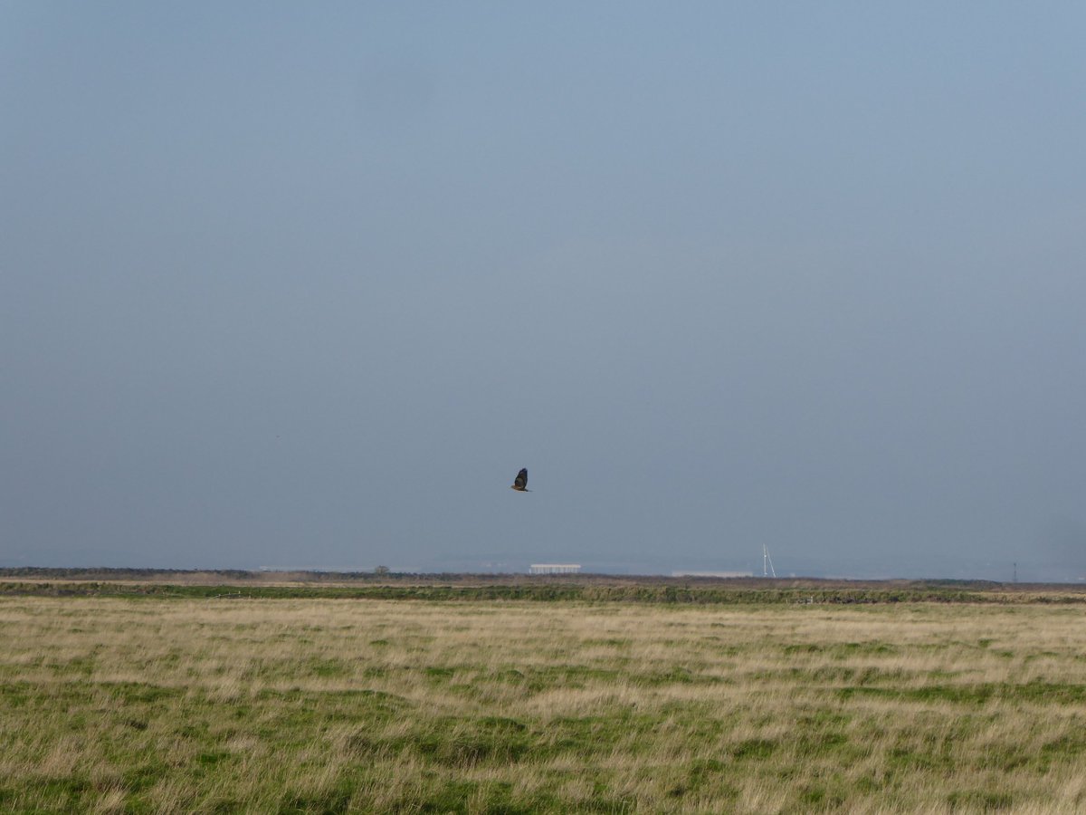
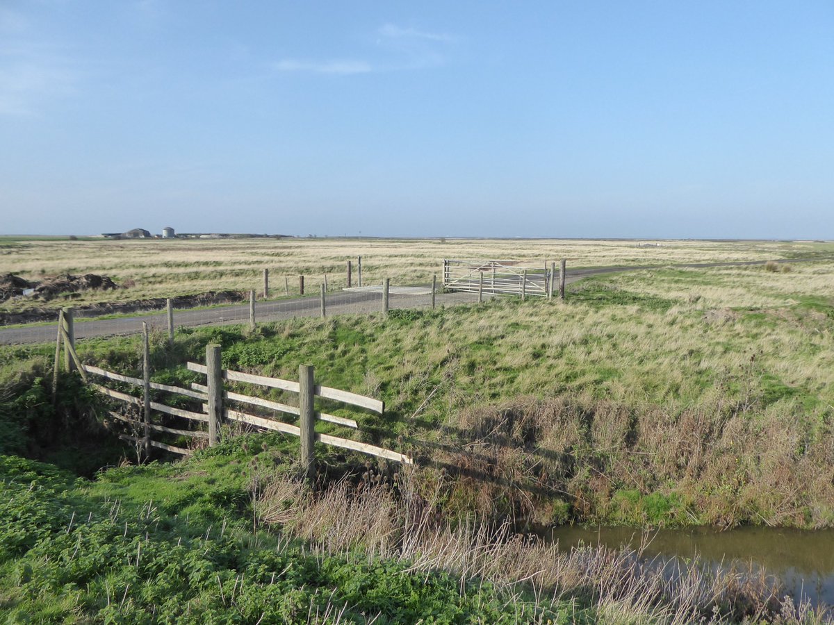
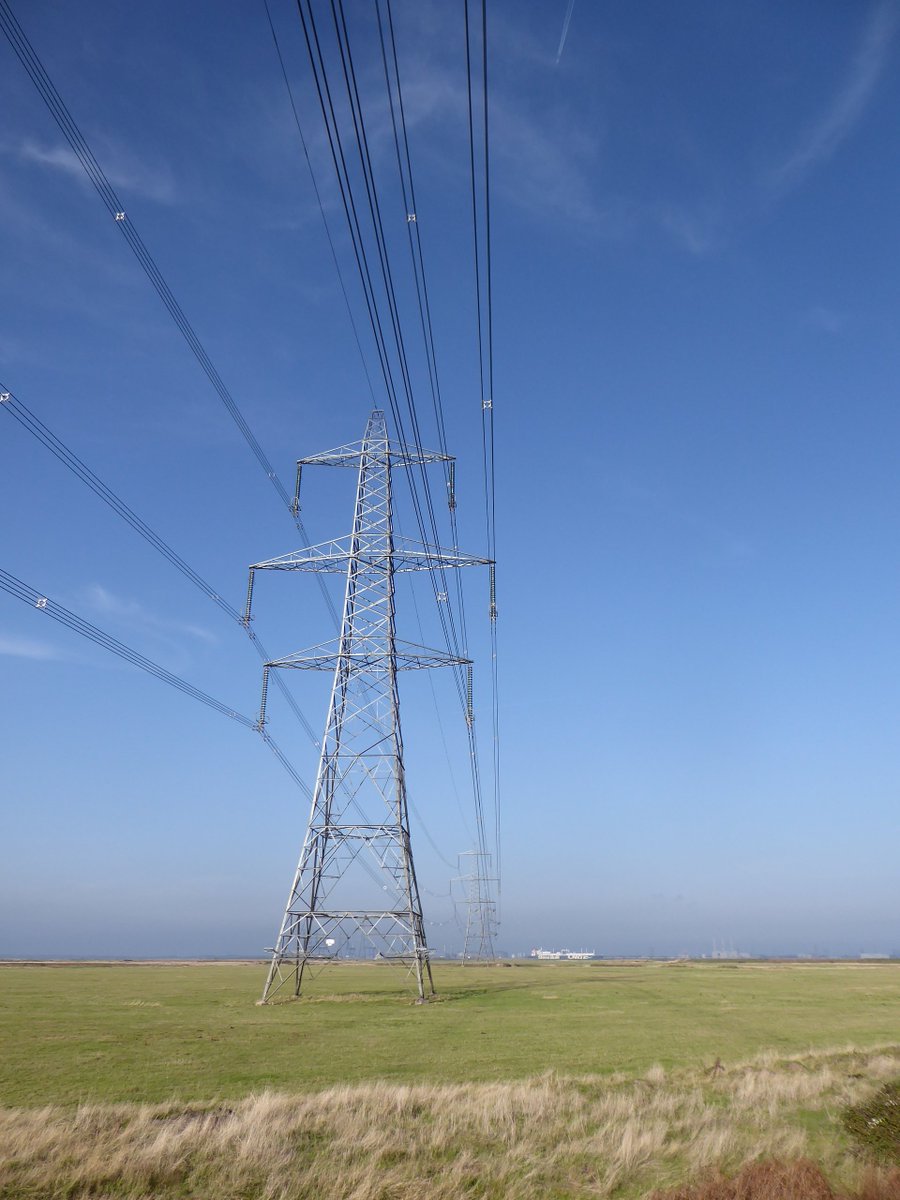
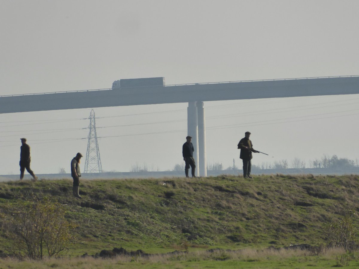
We were rewarded with more prairie-like horizontals, a buzzard, some pylon majesty, a closer view of the gunmen and the bridge.
We reached the Swale, pretty narrow here, the otherworldly Isle of Sheppey a stone& #39;s throw away. If you saw the first series of The End of the F***ing World you& #39;ll have seen some of the back-of-beyond Sheppey landscapes that were so perfect for that show. By the way...
... if anyone on here replies with some & #39;joke& #39; about Sheppey and in-breeding it& #39;s an instant block, I fucking can& #39;t stand that crap. Warning over.
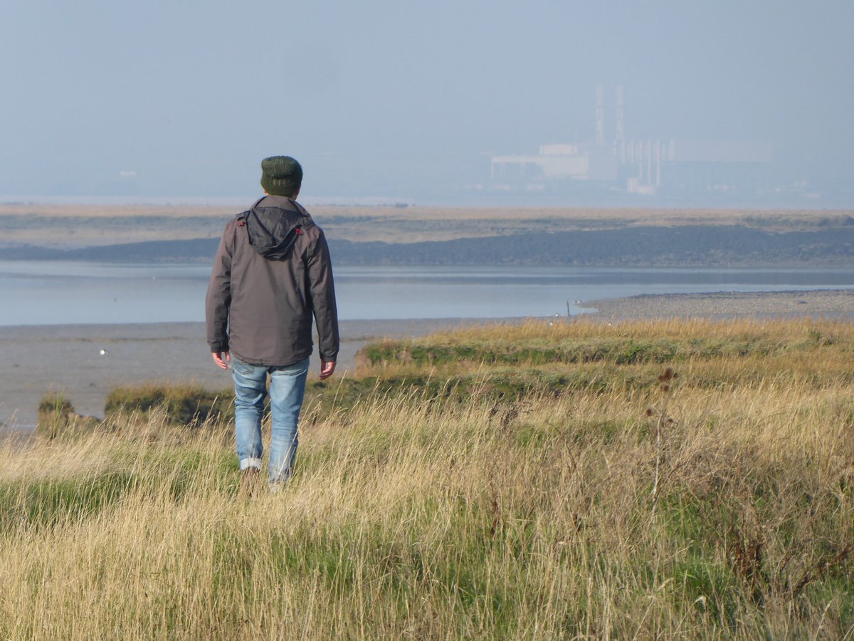
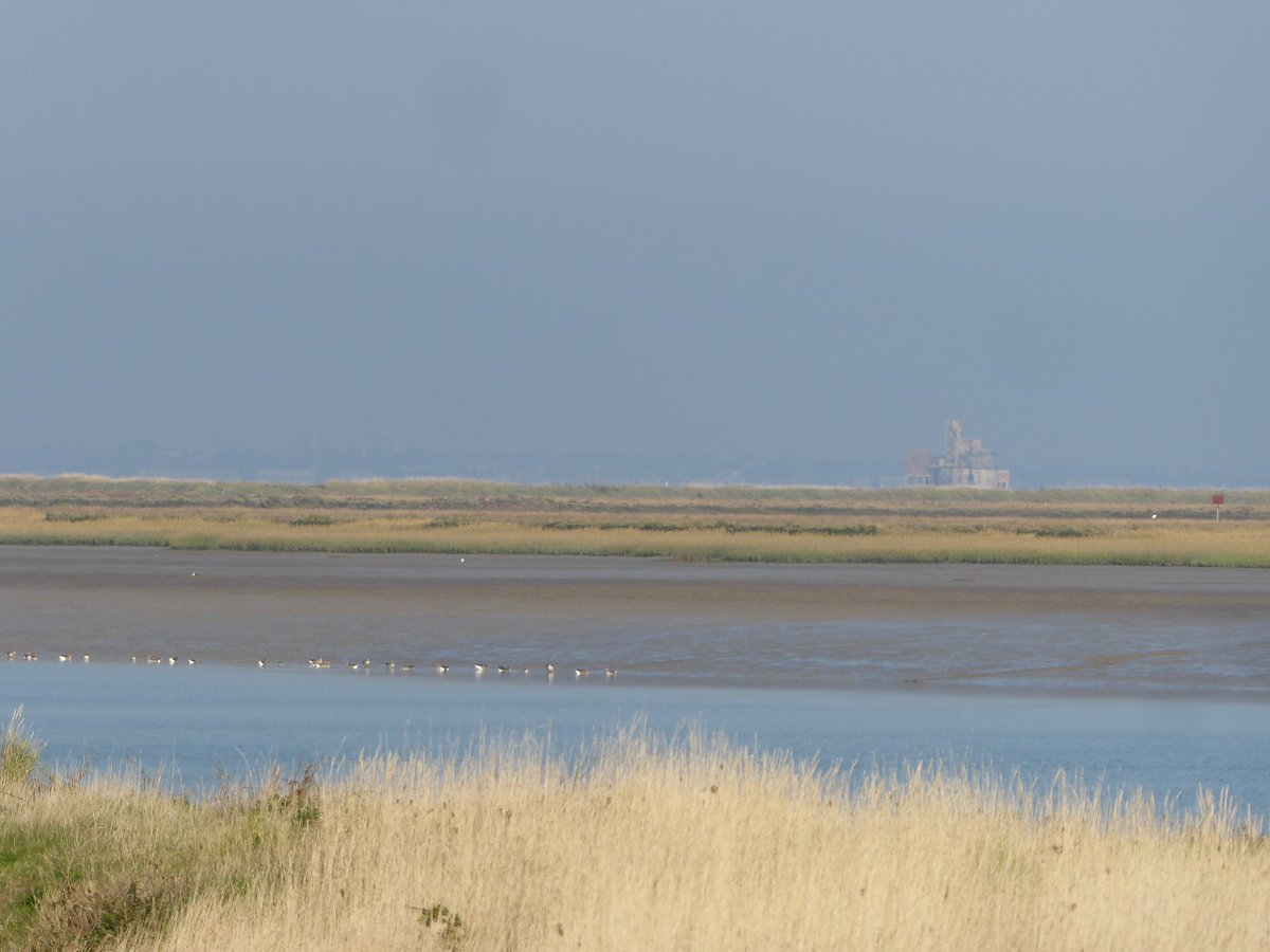
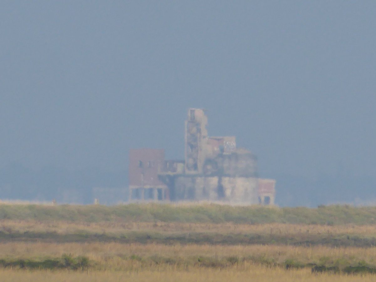
Anyway, from this bank, more views of Grain& #39;s heavy industry, but also, what& #39;s that... ? The shape is familiar.
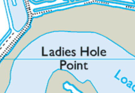
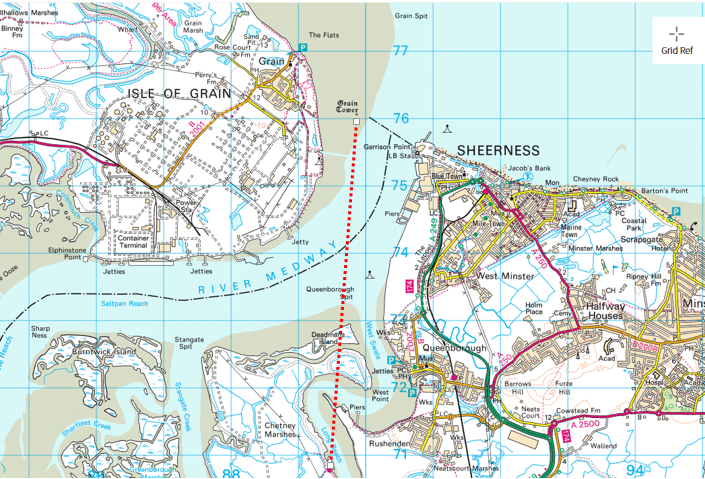
So I checked my @OrdnanceSurvey map (when is OS going to sponsor me???) (all map images here are from the OS website by the way) and realised with a start that we had a clear line of sight beyond Sheppey& #39;s Ladies Hole Point & out to the Grain Fort, which was kind of mindboggling.
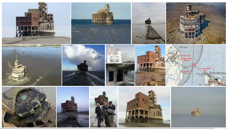
I should have said Grain Tower, not Grain Fort. The tower being a curious-looking 1860s defensive structure built to defend against potentially hostile French ships. It sits on the mudflats, reached by a causeway that is covered by high tide. It& #39;s been unused for 64 years.
Naturally there are urban explorers who have had a good poke around. I& #39;m quite jealous. https://www.28dayslater.co.uk/threads/grain-tower-isle-of-grain-kent-january-2019.117454/">https://www.28dayslater.co.uk/threads/g...
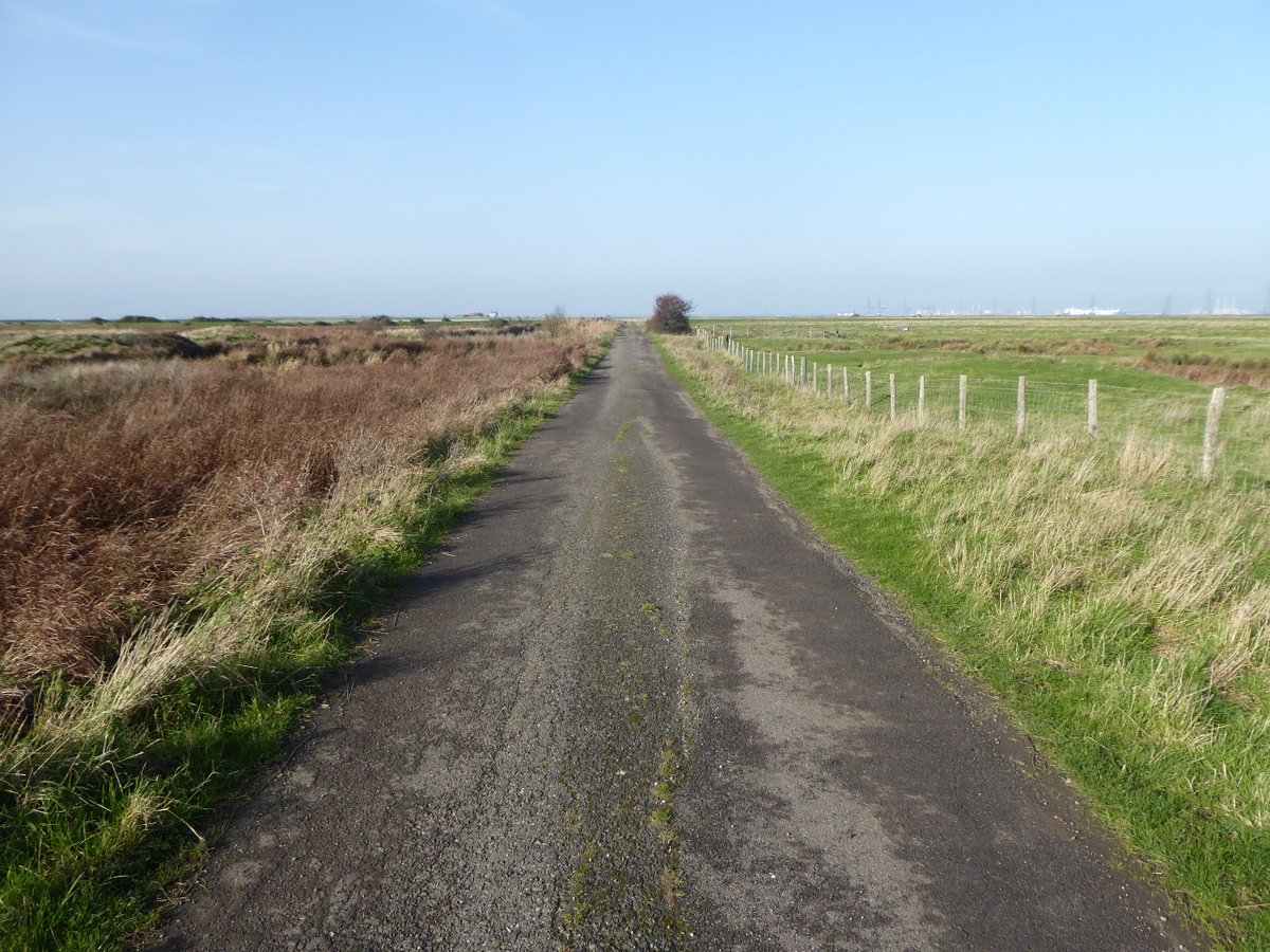
And that& #39;s it. We doubled back a little and then took a slightly different route back to Raspberry Hill Lane. Thanks for coming along. A really nice walk - try to time it for low tide so you can see the birdlife on the mudflats, and a piercing blue sky is pretty good too.  https://abs.twimg.com/emoji/v2/... draggable="false" alt="🙂" title="Leicht lächelndes Gesicht" aria-label="Emoji: Leicht lächelndes Gesicht">
 https://abs.twimg.com/emoji/v2/... draggable="false" alt="🥾" title="Hiking boot" aria-label="Emoji: Hiking boot">
 https://abs.twimg.com/emoji/v2/... draggable="false" alt="🥾" title="Hiking boot" aria-label="Emoji: Hiking boot">

 Read on Twitter


 https://abs.twimg.com/emoji/v2/... draggable="false" alt="🥾" title="Hiking boot" aria-label="Emoji: Hiking boot">https://abs.twimg.com/emoji/v2/... draggable="false" alt="🥾" title="Hiking boot" aria-label="Emoji: Hiking boot">" title="And that& #39;s it. We doubled back a little and then took a slightly different route back to Raspberry Hill Lane. Thanks for coming along. A really nice walk - try to time it for low tide so you can see the birdlife on the mudflats, and a piercing blue sky is pretty good too. https://abs.twimg.com/emoji/v2/... draggable="false" alt="🙂" title="Leicht lächelndes Gesicht" aria-label="Emoji: Leicht lächelndes Gesicht">https://abs.twimg.com/emoji/v2/... draggable="false" alt="🥾" title="Hiking boot" aria-label="Emoji: Hiking boot">https://abs.twimg.com/emoji/v2/... draggable="false" alt="🥾" title="Hiking boot" aria-label="Emoji: Hiking boot">">
 https://abs.twimg.com/emoji/v2/... draggable="false" alt="🥾" title="Hiking boot" aria-label="Emoji: Hiking boot">https://abs.twimg.com/emoji/v2/... draggable="false" alt="🥾" title="Hiking boot" aria-label="Emoji: Hiking boot">" title="And that& #39;s it. We doubled back a little and then took a slightly different route back to Raspberry Hill Lane. Thanks for coming along. A really nice walk - try to time it for low tide so you can see the birdlife on the mudflats, and a piercing blue sky is pretty good too. https://abs.twimg.com/emoji/v2/... draggable="false" alt="🙂" title="Leicht lächelndes Gesicht" aria-label="Emoji: Leicht lächelndes Gesicht">https://abs.twimg.com/emoji/v2/... draggable="false" alt="🥾" title="Hiking boot" aria-label="Emoji: Hiking boot">https://abs.twimg.com/emoji/v2/... draggable="false" alt="🥾" title="Hiking boot" aria-label="Emoji: Hiking boot">">
 https://abs.twimg.com/emoji/v2/... draggable="false" alt="🥾" title="Hiking boot" aria-label="Emoji: Hiking boot">https://abs.twimg.com/emoji/v2/... draggable="false" alt="🥾" title="Hiking boot" aria-label="Emoji: Hiking boot">" title="And that& #39;s it. We doubled back a little and then took a slightly different route back to Raspberry Hill Lane. Thanks for coming along. A really nice walk - try to time it for low tide so you can see the birdlife on the mudflats, and a piercing blue sky is pretty good too. https://abs.twimg.com/emoji/v2/... draggable="false" alt="🙂" title="Leicht lächelndes Gesicht" aria-label="Emoji: Leicht lächelndes Gesicht">https://abs.twimg.com/emoji/v2/... draggable="false" alt="🥾" title="Hiking boot" aria-label="Emoji: Hiking boot">https://abs.twimg.com/emoji/v2/... draggable="false" alt="🥾" title="Hiking boot" aria-label="Emoji: Hiking boot">">


