1/10 I talk a lot about the future of commercial earth observation being "vertical" solutions, rather than "horizontal" solutions. Let me give you some examples of prototypical "vertical" software companies predicated on remote sensing analysis... a  https://abs.twimg.com/emoji/v2/... draggable="false" alt="🧵" title="Thread" aria-label="Emoji: Thread">
 https://abs.twimg.com/emoji/v2/... draggable="false" alt="👇" title="Rückhand Zeigefinger nach unten" aria-label="Emoji: Rückhand Zeigefinger nach unten">
2/10 SilviaTerra ( https://www.silviaterra.com/ )">https://www.silviaterra.com/">... is building a carbon offset marketplace based on a detailed, national-scale US forest inventory derived from remote sensing data. Incredible team and mission powered by earth observation and machine learning. https://www.youtube.com/watch?v=c9U0Uf_6JgM&ab_channel=MaxNova">https://www.youtube.com/watch...
3/10 @AdvisorsPula provide "parametric" insurance (automatic payouts for pre-determined events observed in objective data sources like satellite imagery). They& #39;re covering small land holder farmers across Africa who have never had access to insurance. https://www.youtube.com/watch?v=WvID2jlJSmc&ab_channel=WandievilleMedia">https://www.youtube.com/watch...
4/10 @EagleViewTech has one of my favorite earth observation products, just because it& #39;s so unlikely. They generate residential roof reports from aerial imagery. A sleepy $100M+ business...and a great example of how big even "niche" verticals can be. https://www.youtube.com/watch?v=hU_4ipJl2QQ&ab_channel=EagleView">https://www.youtube.com/watch...
5/10 @arturo_ai uses earth imagery to automatically identify 65+ unique characteristics for any parcel in the US to help large insurers take a tedious manual process down to about five seconds. https://www.youtube.com/watch?v=l6ubwVdg1g8&ab_channel=FNO%3AInsureTechPodcast">https://www.youtube.com/watch...
6/10 @Indigoag& #39;s GeoInnovation group is constantly pushing the boundaries of remote sensing for agricultural use cases, from yield prediction at national scale to monitoring experiments carried out on individual fields. https://www.youtube.com/watch?v=B6G7TdiaLgg&ab_channel=IndigoAg">https://www.youtube.com/watch...
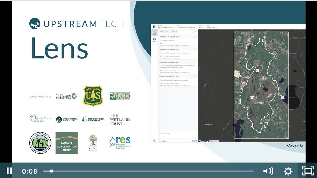
7/10 @upstream_tech uses ML to power two apps: one which focuses on large-scale water management for conservation organizations and another that predicts power generation prediction for hydropower operators. https://upstream.tech/lens/ ,">https://upstream.tech/lens/&quo... https://hydroforecast.com/research/operations-optimization/">https://hydroforecast.com/research/...
8/10 @Cloud2Street provides rapid, remote-sensing derived flood inundation maps and flood predictions--a process they call "dynamic flood mapping" that can be applied anywhere on Earth. https://www.youtube.com/watch?v=1rjihO8xyLQ&feature=emb_title&ab_channel=GoogleEarth">https://www.youtube.com/watch...
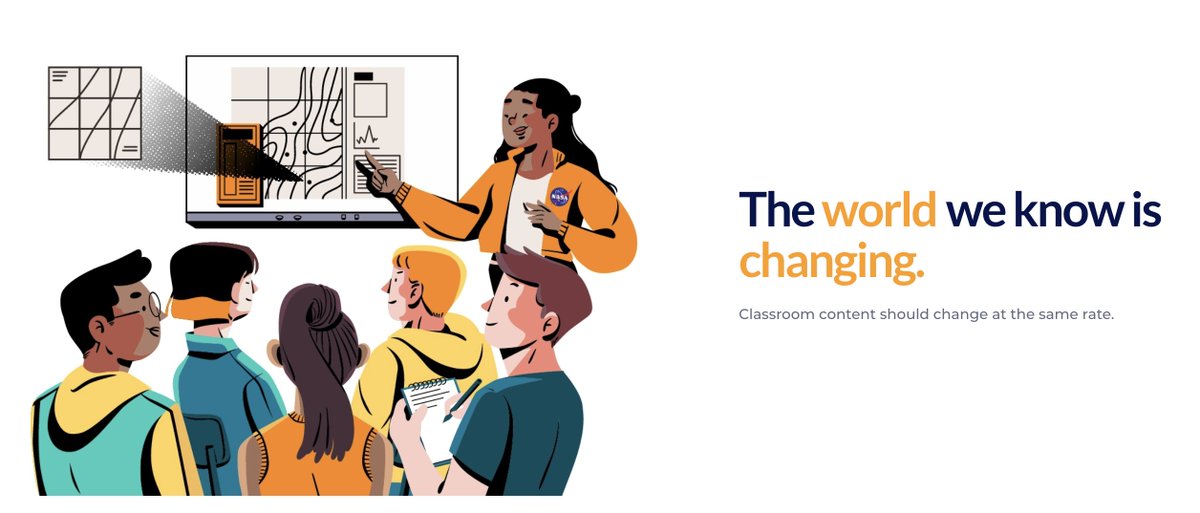
9/10 @earthrisemedia is a non-profit that leverages expertise in remote sensing to build custom media experiences for educating and engaging the public in important issues, like climate change. Their "collaborative mapping" tool for high school classrooms is a great example.

 Read on Twitter
 https://abs.twimg.com/emoji/v2/... draggable="false" alt="👇" title="Rückhand Zeigefinger nach unten" aria-label="Emoji: Rückhand Zeigefinger nach unten">" title="1/10 I talk a lot about the future of commercial earth observation being "vertical" solutions, rather than "horizontal" solutions. Let me give you some examples of prototypical "vertical" software companies predicated on remote sensing analysis... a https://abs.twimg.com/emoji/v2/... draggable="false" alt="🧵" title="Thread" aria-label="Emoji: Thread">https://abs.twimg.com/emoji/v2/... draggable="false" alt="👇" title="Rückhand Zeigefinger nach unten" aria-label="Emoji: Rückhand Zeigefinger nach unten">" class="img-responsive" style="max-width:100%;"/>


