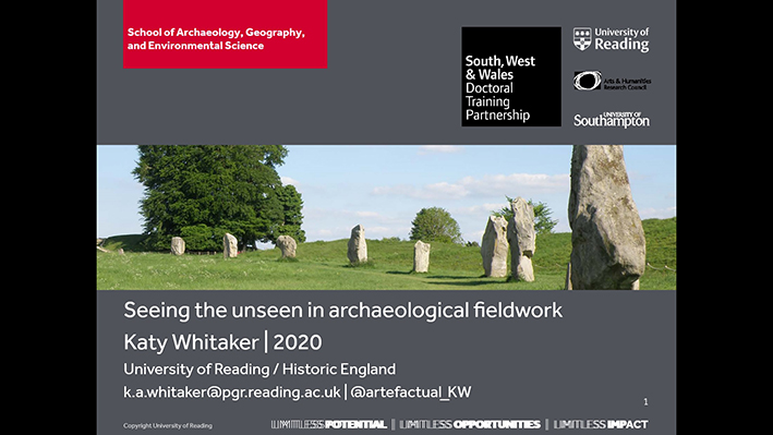
1/20 Hi! I’m Katy, a p/t PhD student with @SWWDTP @UniRdg_Arch. I’m taking this opportunity to reflect on my extended experience and the amazing people I’ve been working with, who have introduced me to different ways of thinking and doing archaeology. #HiddenLandscapes
2/20 My presentation includes #HiddenLandscapes of my archaeological research, but it’s more a personal reflection than a paper. Really, it’s about the difference between the idealised and real-world landscapes of doing research. I mean, whose project is actually like this?  https://abs.twimg.com/emoji/v2/... draggable="false" alt="⬇️" title="Pfeil nach unten" aria-label="Emoji: Pfeil nach unten">
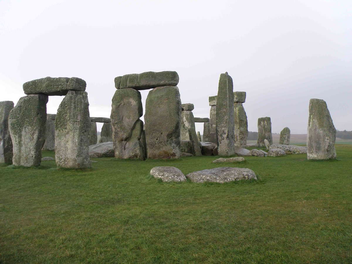
3/20 I’m researching the past use of #sarsen stone. You know: those really tall stones at Stonehenge and the lintels that go across the top. I’m interested in how people have quarried and worked the material for 5000 years and people’s relationship with it. #HiddenLandscapes
4/20 Sarsen is best known in Wiltshire, partly because of Stonehenge/Avebury and it’s really visible on the surface. But it’s actually scattered across S/SE England. It’s got a geochemistry lit, but it doesn’t feature much in topographic geological literature. #HiddenLandscapes
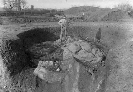
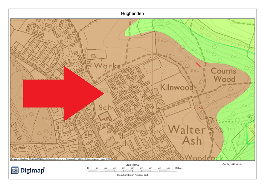
5/20 It’s found in/on superficial geological deposits like clay-with-flints and isn’t mapped in its own right by @BritGeoSurvey. The boulders are common e.g. on the Chilterns around Hughenden. The 1922 geological memoir describes them, the 2005 edition doesn’t. #HiddenLandscapes
6/20 Sarsen was quarried there in the C18 and C19 until the Second World War. But the boulders are scattered throughout the clays. I call it a dispersed or ephemeral quarry. As an archaeologist, how can I study a ‘place’ like that? No bedrock source to survey. #HiddenLandscapes
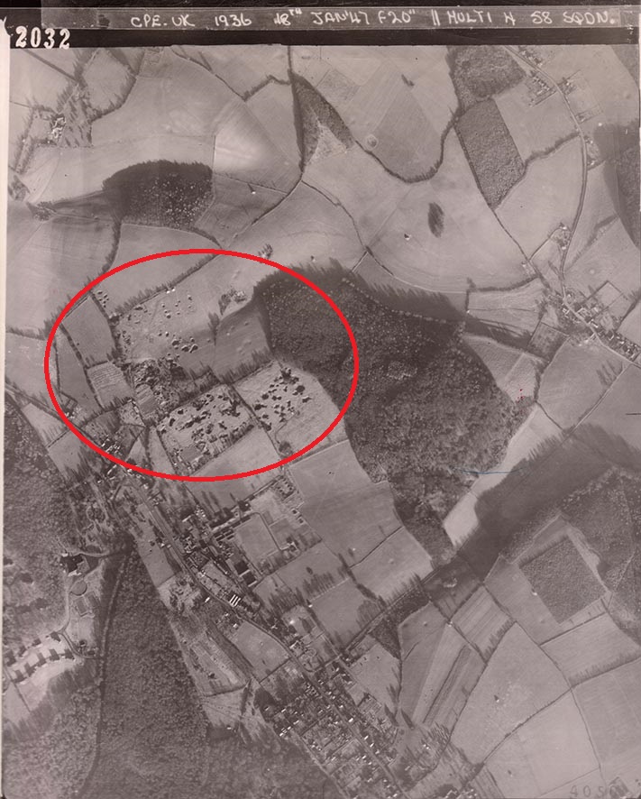
7/20 But there was one location where a large and closely grouped series of pits were dug to extract the sarsen boulders. This is at Walter’s Ash. Maybe I could do some work there? Trouble is…thanks, Ministry of Defence, for covering it in a housing estate. #HiddenLandscapes
8/20 So I took a different approach and went back in time through aerial photography. This was one way to begin to recover part of the Chiltern Hills lost sarsen stone quarry. I mapped and interpreted all the extractive features in the study area, from the air. #HiddenLandscapes
9/20 In two of my other study areas it’s possible to visit the dispersed sarsen quarry. One is West Woods in Wiltshire. Boulders were dug up and split in the C19. In 1920 the valley was cleared by a firm using explosives and a stone crusher to make roadstone. #HiddenLandscapes
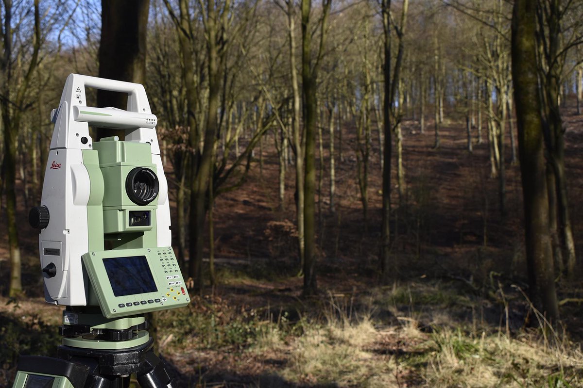
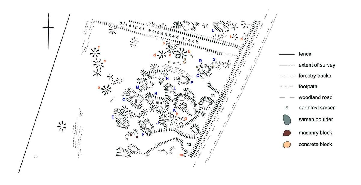
10/20 @elaine_jamieson, @KrysiaTruscoe and I mapped the earthworks left behind. To make the survey we had to recce, site our instruments, use them accurately, finalise the plot, use drawing conventions to make a hachured plan and final illustration (extract  https://abs.twimg.com/emoji/v2/... draggable="false" alt="⬇️" title="Pfeil nach unten" aria-label="Emoji: Pfeil nach unten">). #HiddenLandscapes
11/20 Remember tweet 2? The survey was data-gathering and I’ll write it up, analyse the results, draw conclusions…but this multi-period bird’s eye view would not be recognised by the quarry workers. The quarry was never experienced like this in the past. #HiddenLandscapes
12/20 It’s not new to think of data as theory-laden, interpretation as hermeneutic. But despite all my past field experience, in West Woods I felt that I truly understood that archaeological data only exist in the present, that they are products of our practice. #HiddenLandscapes
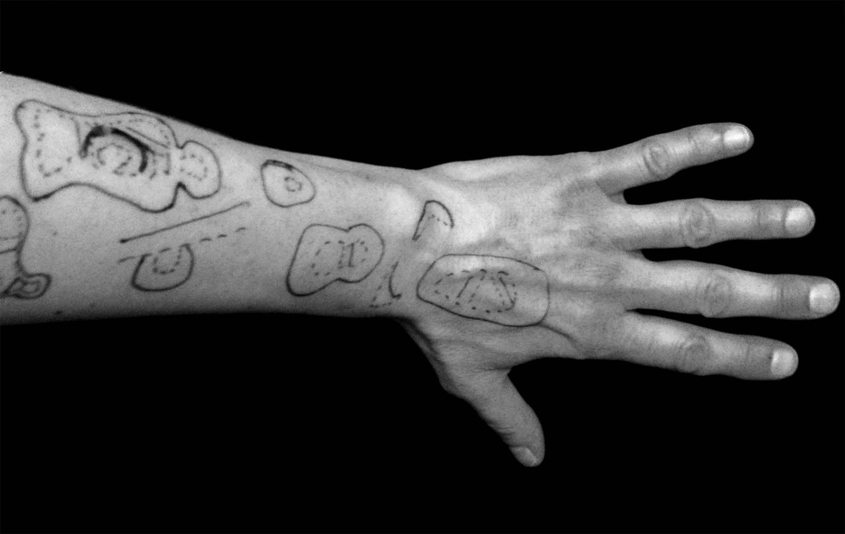
13/20 Let me show you what I mean. During our week in West Woods, I experienced archaeology and history emerging. We walked. We discussed. We saw stuff differently to how we had seen it the day before. I drew on my arms to work it out, and how to record it. #HiddenLandscapes
15/20 I added more to a sketchbook as I worked up the plans into publication drawings. #HiddenLandscapes.
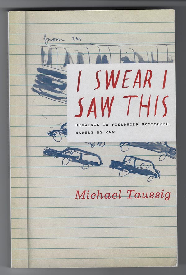
16/20 John Berger wrote ‘a drawing is an autobiographical record of one’s discovery of an event, seen, remembered, or imagined.’ Michael Taussig emphatically states ‘fieldwork is actually based on personal experience…not on the model of laboratory protocols.’ #HiddenLandscapes
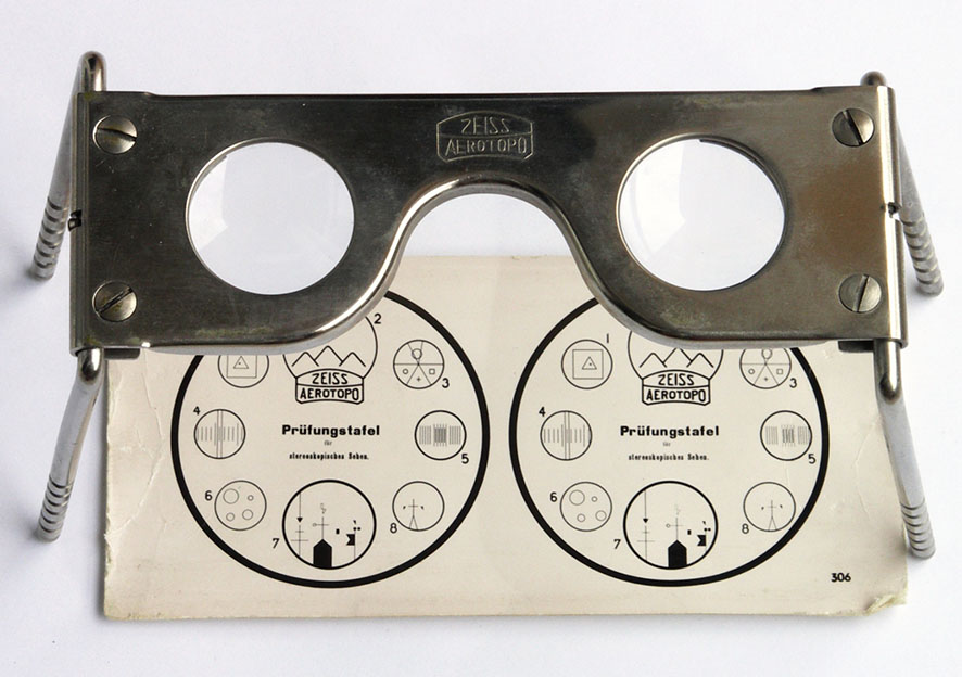
17/20 I had not recorded Walter’s Ash lost sarsen quarry via all-seeing, disembodied, objective aerial cameras. I tricked my brain to see in 3D with a stereoscope, scanned and transformed images to fit topography, and digitally drew ‘features’ in a GIS. #HiddenLandscapes
18/20 That produced another landscape which never really existed for the people who worked and lived there. An industrial landscape hidden by a changing geological agenda and obliterated for the demands of C20 military housing. It emerged as I investigated it. #HiddenLandscapes
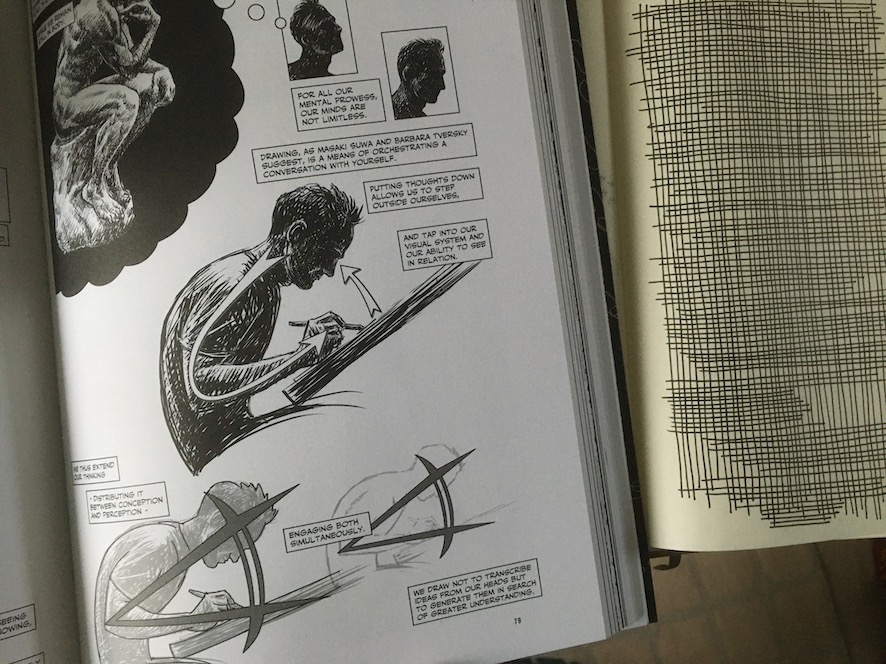
19/20 As the West Woods and Walter’s Ash parts of my project were underway I was engaged in a conversation with what I was creating. @Nsousanis summarises this in the context of drawing. My conclusions arose from practice and experience, thinking through making. #HiddenLandscapes
20/20 So in considering some of the #HiddenLandscapes of my PhD project I have begun to consider the hidden landscape of research, and to see the unseen in archaeological fieldwork. Thanks for reading! Here are a few of the many acknowledgments that I owe.  https://abs.twimg.com/emoji/v2/... draggable="false" alt="❤️" title="Rotes Herz" aria-label="Emoji: Rotes Herz">to Elaine and Krysia!

 Read on Twitter
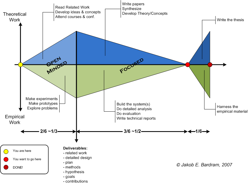 " title="2/20 My presentation includes #HiddenLandscapes of my archaeological research, but it’s more a personal reflection than a paper. Really, it’s about the difference between the idealised and real-world landscapes of doing research. I mean, whose project is actually like this? https://abs.twimg.com/emoji/v2/... draggable="false" alt="⬇️" title="Pfeil nach unten" aria-label="Emoji: Pfeil nach unten">" class="img-responsive" style="max-width:100%;"/>
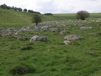

 ). #HiddenLandscapes" title="10/20 @elaine_jamieson, @KrysiaTruscoe and I mapped the earthworks left behind. To make the survey we had to recce, site our instruments, use them accurately, finalise the plot, use drawing conventions to make a hachured plan and final illustration (extract https://abs.twimg.com/emoji/v2/... draggable="false" alt="⬇️" title="Pfeil nach unten" aria-label="Emoji: Pfeil nach unten">). #HiddenLandscapes" class="img-responsive" style="max-width:100%;"/>


 to Elaine and Krysia!" title="20/20 So in considering some of the #HiddenLandscapes of my PhD project I have begun to consider the hidden landscape of research, and to see the unseen in archaeological fieldwork. Thanks for reading! Here are a few of the many acknowledgments that I owe. https://abs.twimg.com/emoji/v2/... draggable="false" alt="❤️" title="Rotes Herz" aria-label="Emoji: Rotes Herz">to Elaine and Krysia!" class="img-responsive" style="max-width:100%;"/>


