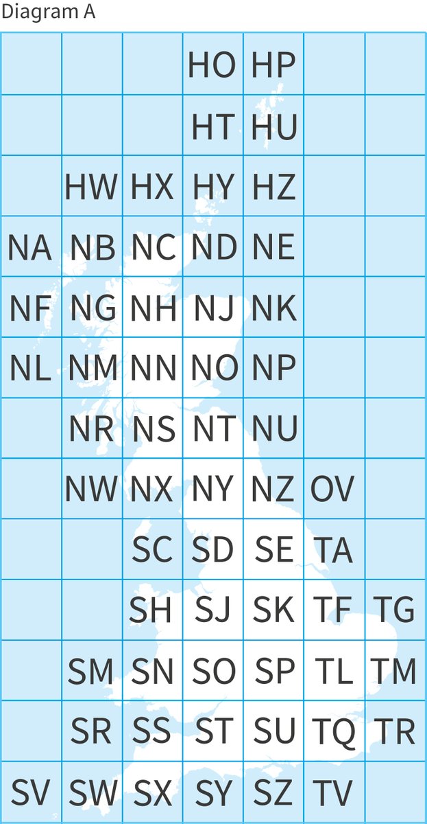
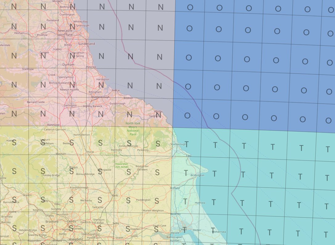
Short map thread, inspired @ScienceAndMaps earlier this week. Many people are familiar with @OrdnanceSurvey grid references (e.g. summit of Ben Nevis is NN 166 712) - those two letters you can see on the map of Great Britain below (2 letters = 100km x 100km - known as a & #39;myriad& #39;)
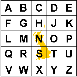
baffling combination of letters, no? Well, to crack that code you need to zoom out and see the 500km x 500km tiles this is based on (there& #39;s no letter I, so we have 25 squares) - image is from @EDINA_Digimap
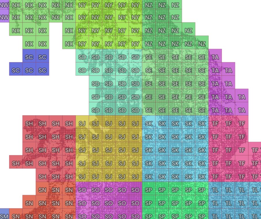
isn& #39;t it nice that the N and the S align roughly with north and south? Ordnance Survey is the mapping agency for GB rather than the whole UK, hence no Northern Ireland on the grid. So, first letter from the 500km part, second letter from the 100km part (then we have 20km squares)
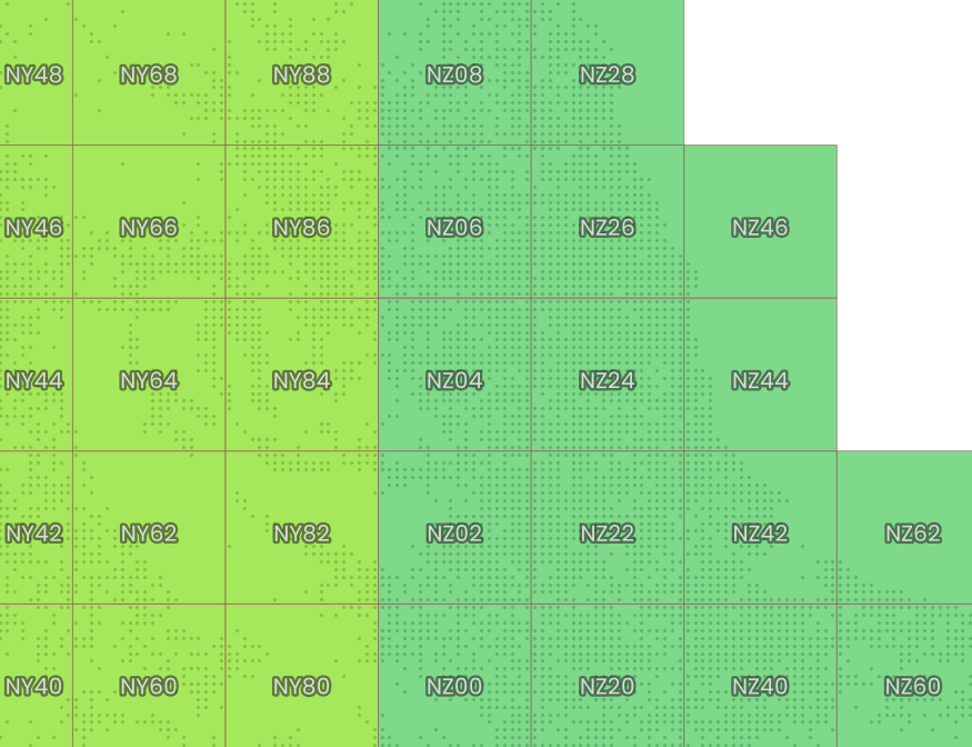
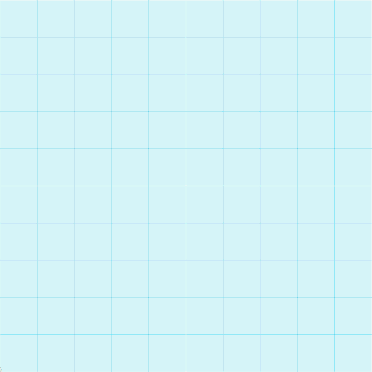
here are some 20km tiles - see, I told you it was exciting - in and about the NZ area - but what about the big O tile? Is there anything in that?
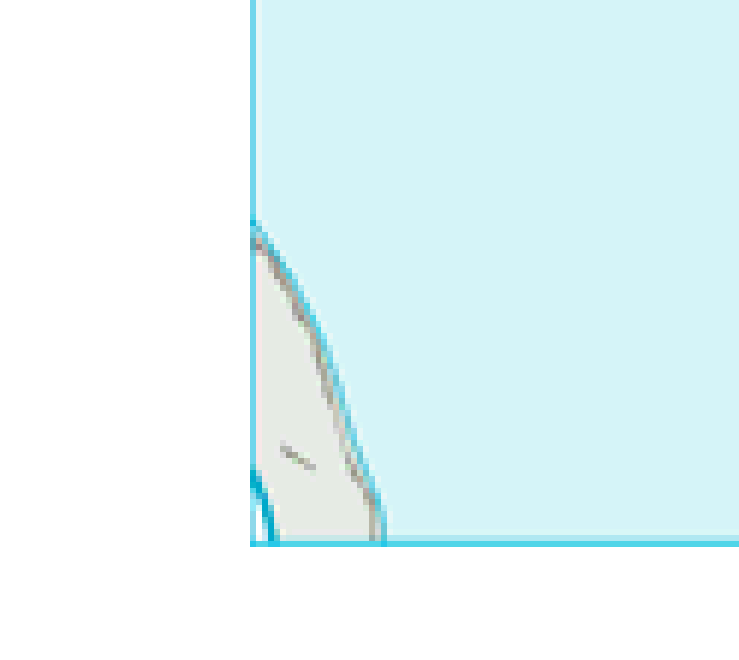
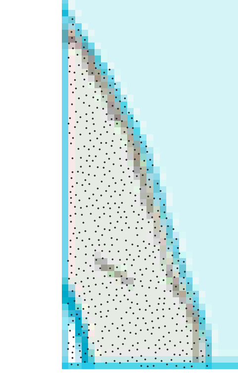
this is where the 500km tiles of N, O, S and T meet and despite it being nearly all sea, there is a tiny slither of coast at OV0000 (tiny)
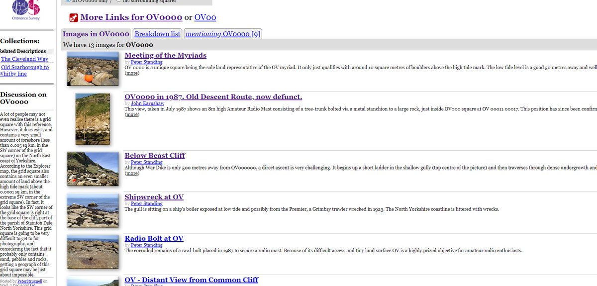
you can read different accounts of people going to visit it, on @geograph_bi - e.g. here: https://www.geograph.org.uk/gridref/OV0000 ">https://www.geograph.org.uk/gridref/O... - but it& #39;s not easy to get to, at all
at low tide I think you may get about 50 metres max width and 130m length and fit in 589 socially distanced humans, but I certainly wouldn& #39;t recommend it

 Read on Twitter