Today marks World Rivers day and to celebrate this, here& #39;s a thread on some of Kenya& #39;s main rivers.
First off, a hydrological map of all the major rivers in the country.
First off, a hydrological map of all the major rivers in the country.
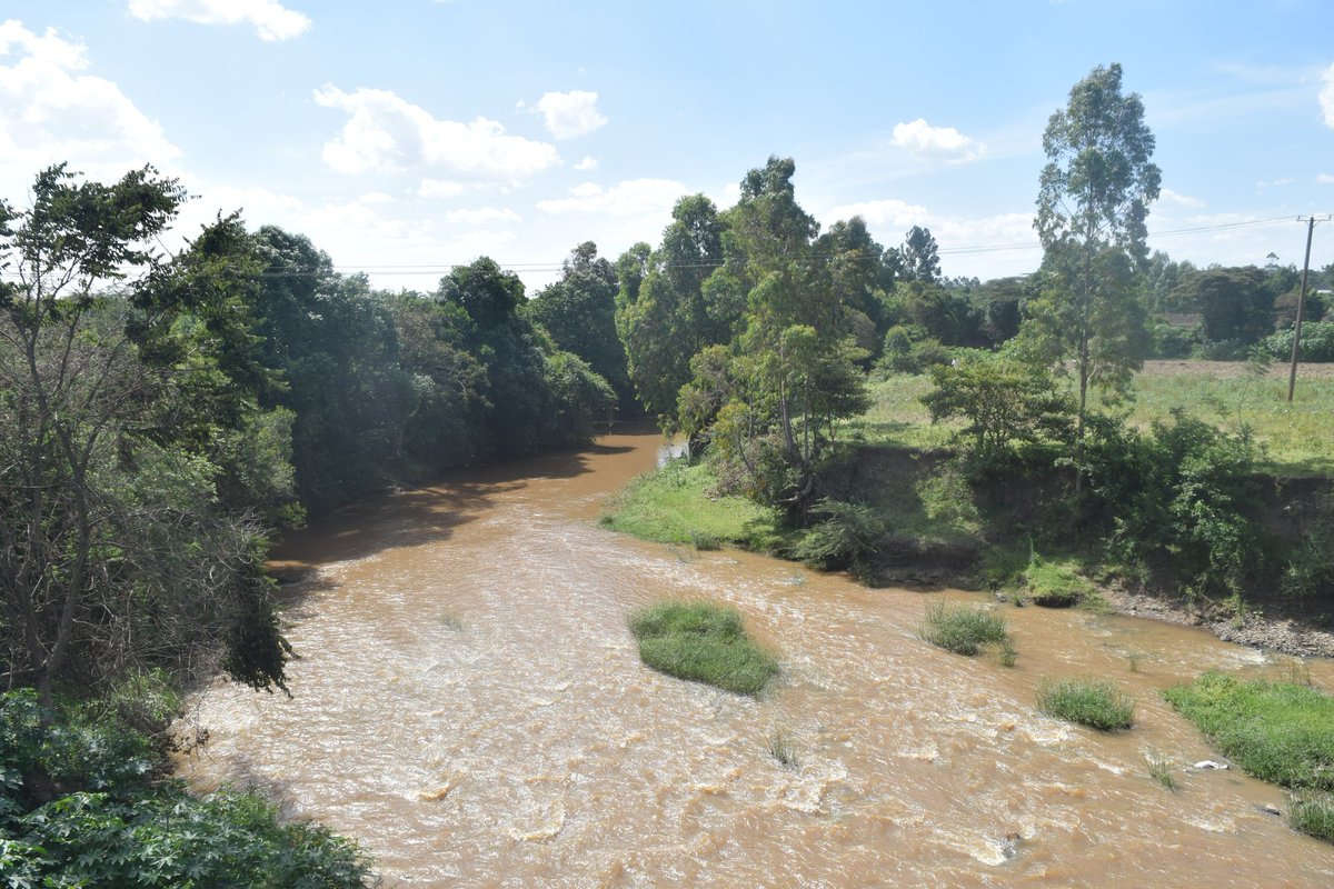
Athi river near 14 falls after all the main rivers in Nairobi have joined up. Mt. Kilimambogo/Ol Donyo Sabuk is in the background.
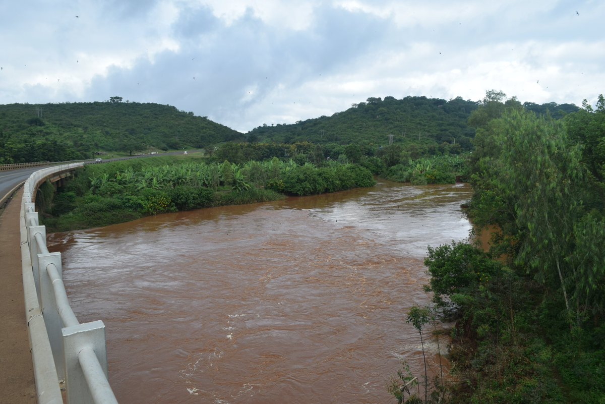
The mighty Tana river after Masinga dam in Embu county.
Fourteen falls along Athi river during the rainy season.
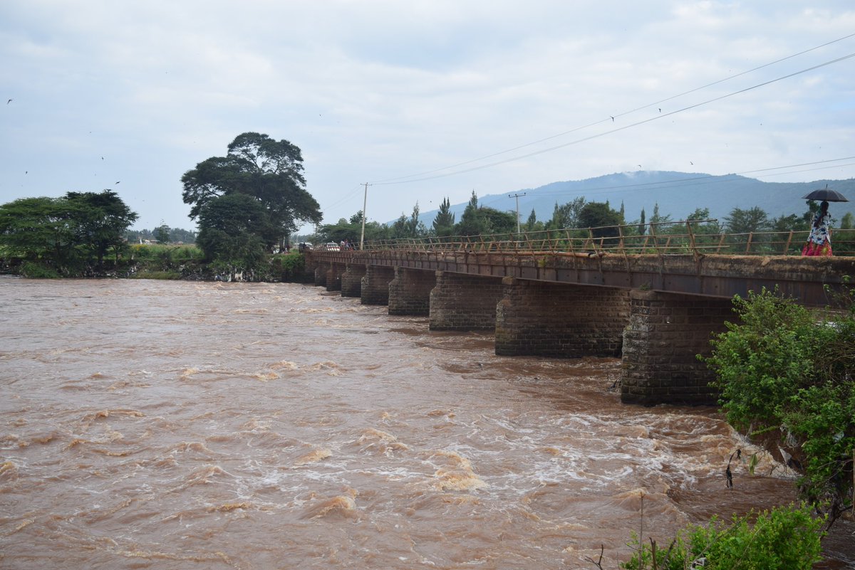
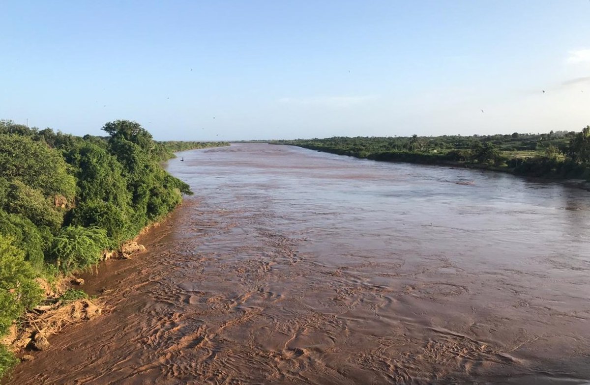
Athi river at Sabaki bridge near Malindi, about a kilometre away from draining it& #39;s waters into the Indian Ocean.
The voluminous Athi river that drains into Indian Ocean (above) starts as a small trickle at Athi spring, Kerarapon within the vicinity of Nairobi.
Ewaso Nyiro river thundering down Gotu falls in Isiolo county.
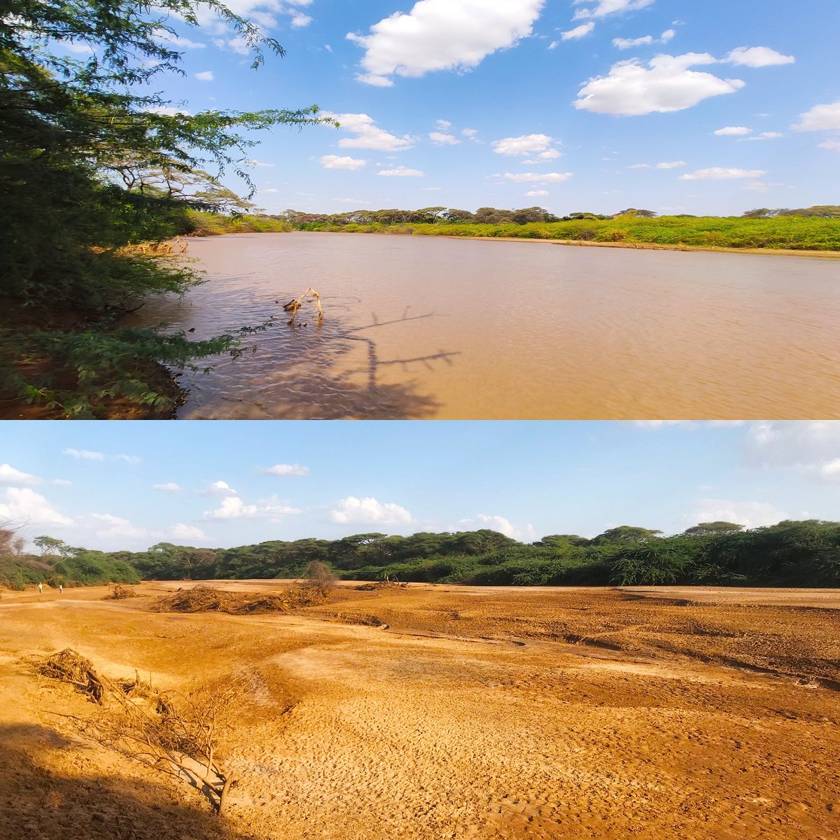
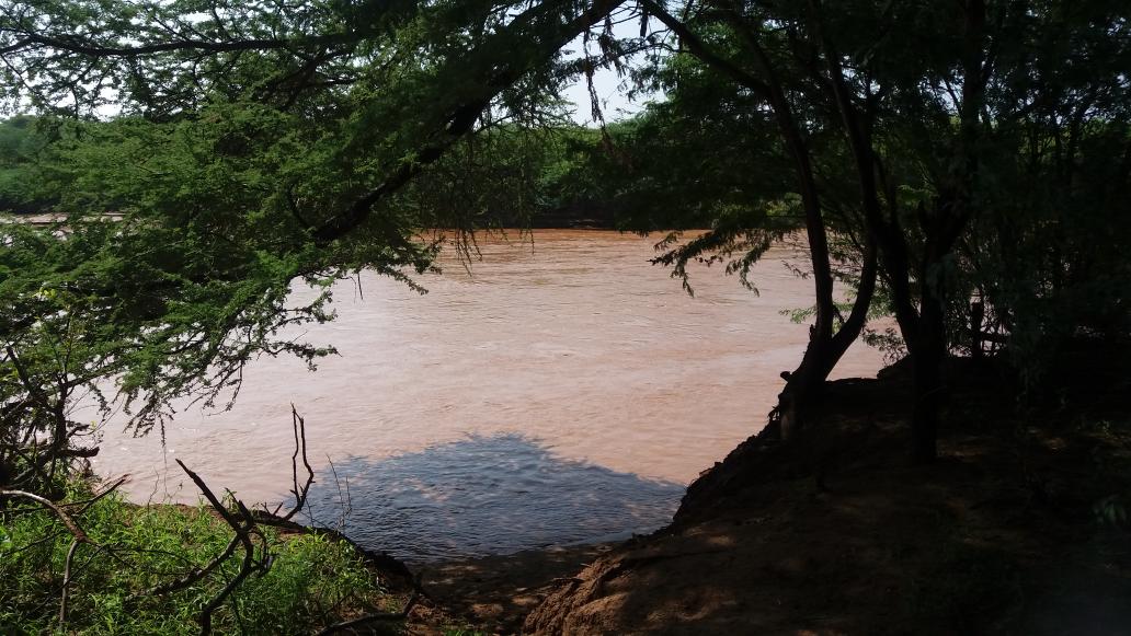
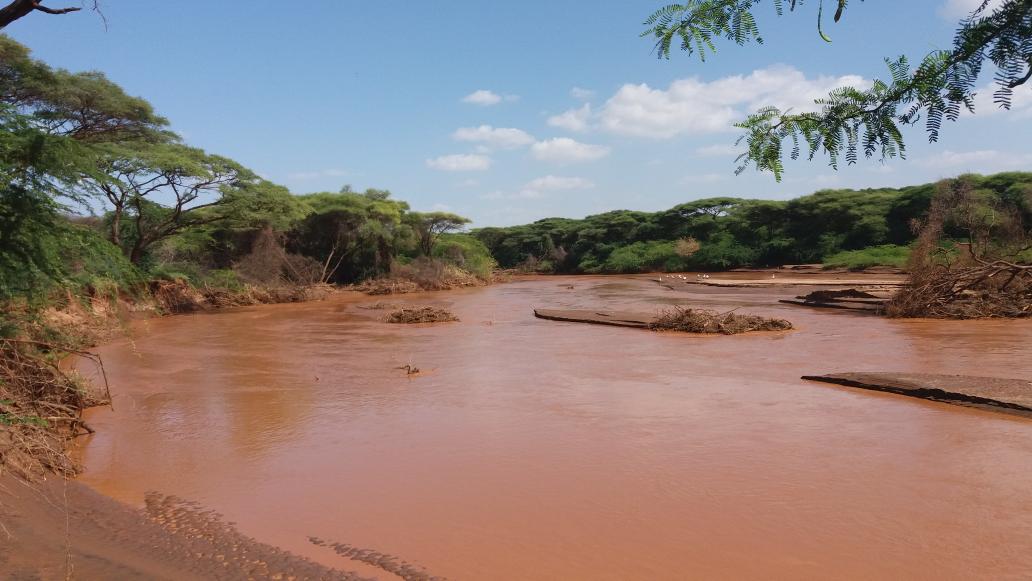
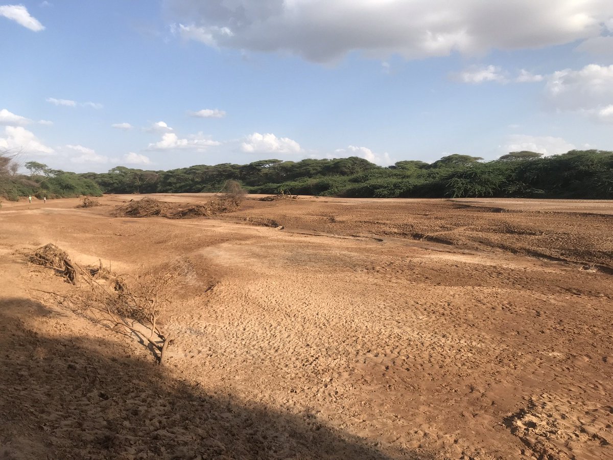
Ewaso Nyiro South River near Nguruman during the dry season.
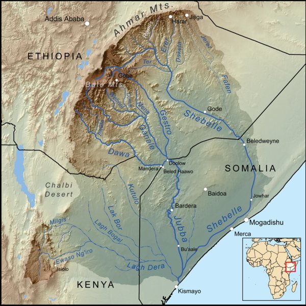
All the rivers that flow from the eastern escarpment of the Great Rift Valley in Kenya and Ethiopia.
The rivers sustain the lives of pastoralist communities and their economy across the entire East and Horn of Africa.
The rivers sustain the lives of pastoralist communities and their economy across the entire East and Horn of Africa.

 Read on Twitter
