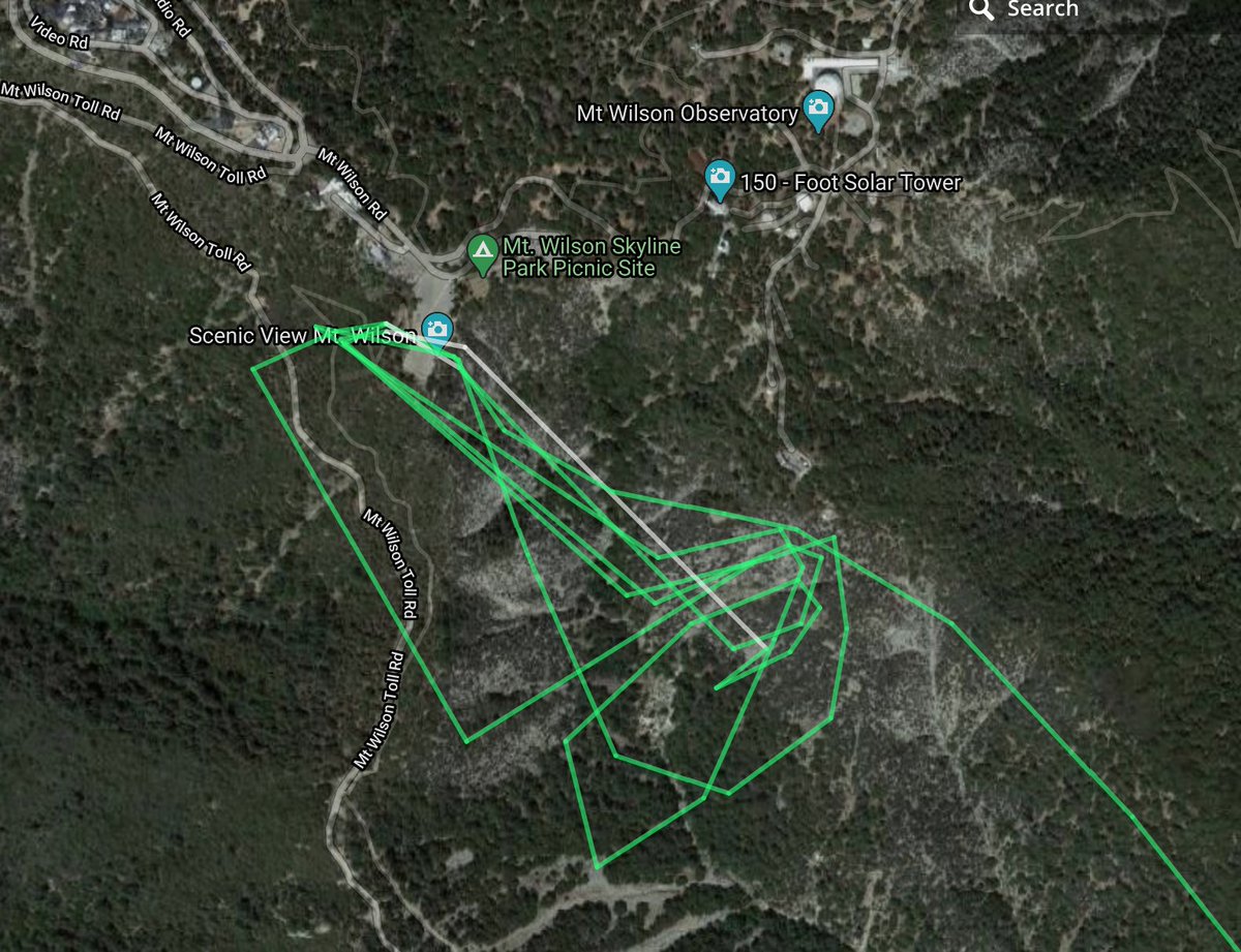
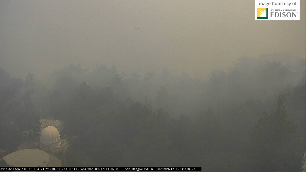
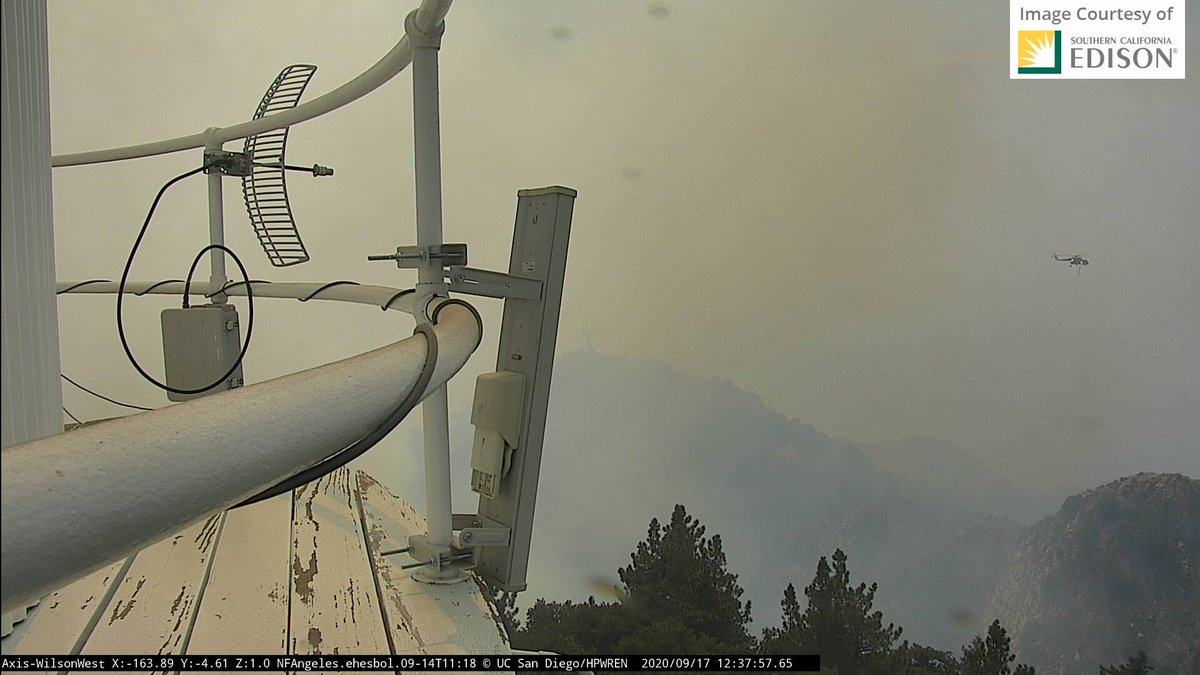
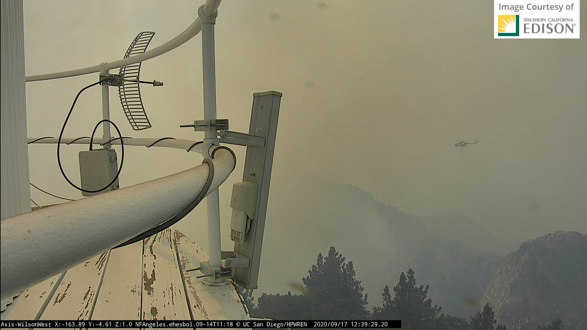
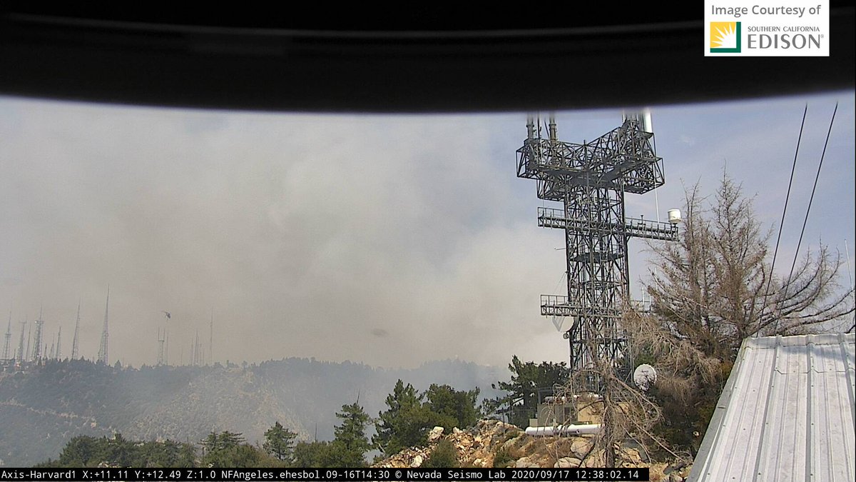
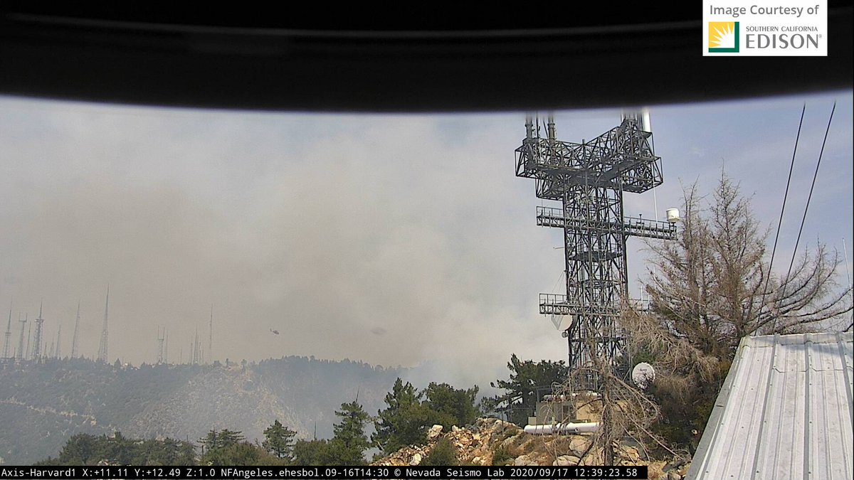
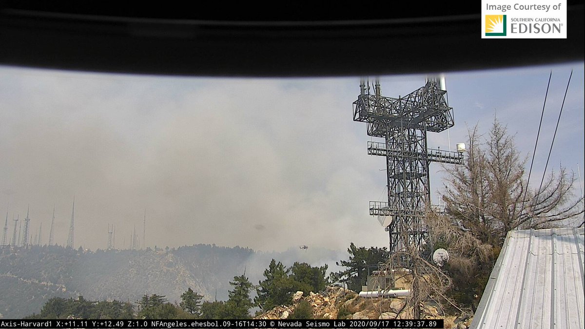
A helicopter was slurping up water from the parking lot tank and dropping it on a spot at Mt. Wilson Observatory.
View to the South from Mount Wilson Cams and Flight radar path of a helicopter.
#bobcatfire
View to the South from Mount Wilson Cams and Flight radar path of a helicopter.
#bobcatfire
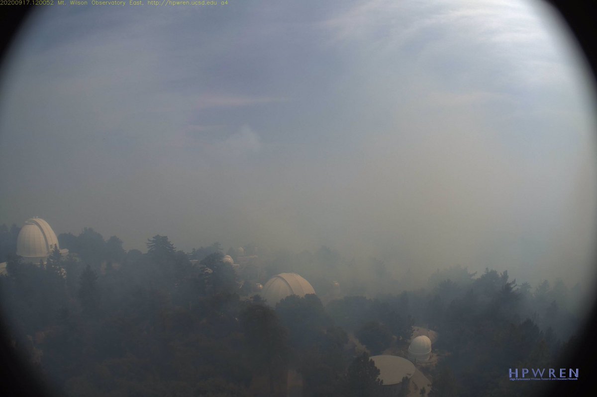
I am alternating between these two camera views. 15 minute timelapses give a picture of #BobcatFire at Mt. Wilson.
EAST: http://www.alertwildfire.org/orangecoca/?camera=Axis-WilsonEast
WEST:">https://www.alertwildfire.org/orangecoc... http://www.alertwildfire.org/orangecoca/?camera=Axis-WilsonWest
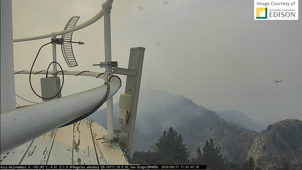
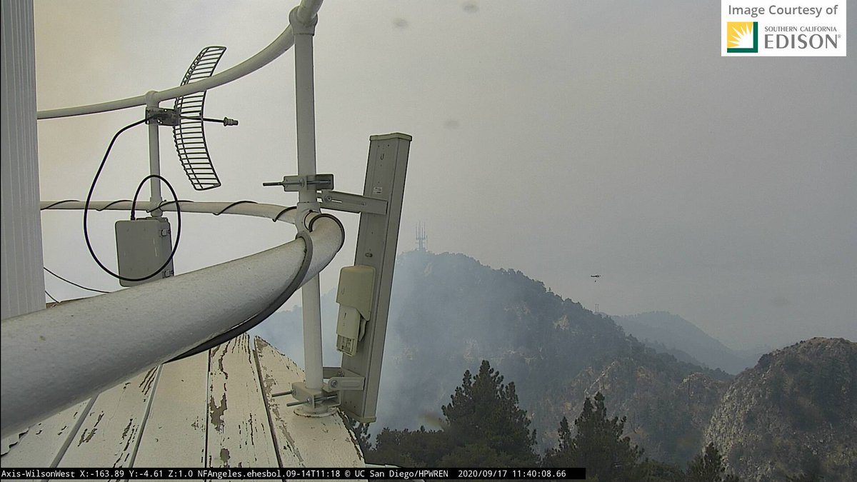
These">https://www.alertwildfire.org/orangecoc... stills of the helicopter parking lot and water placement over the last hour are from WilsonWEST.
Flight Radar: Bunches of choppers have been near Hwy 39, one has come over to fill up at that holding pool in Sierra Madre. Then fly it up the hill to Mt. Wilson? Yes, after this screen shot was taken, it& #39;s looking like it. #bobcatfire
Minutes ago on Mt. Wilson from the #AlertFire cameras I mentioned upthread:
East Cam you can see chopper top center.
West Cam (2 views): Chopper heading to parking lot, and back for a water dump
#bobcatfire
East Cam you can see chopper top center.
West Cam (2 views): Chopper heading to parking lot, and back for a water dump
#bobcatfire
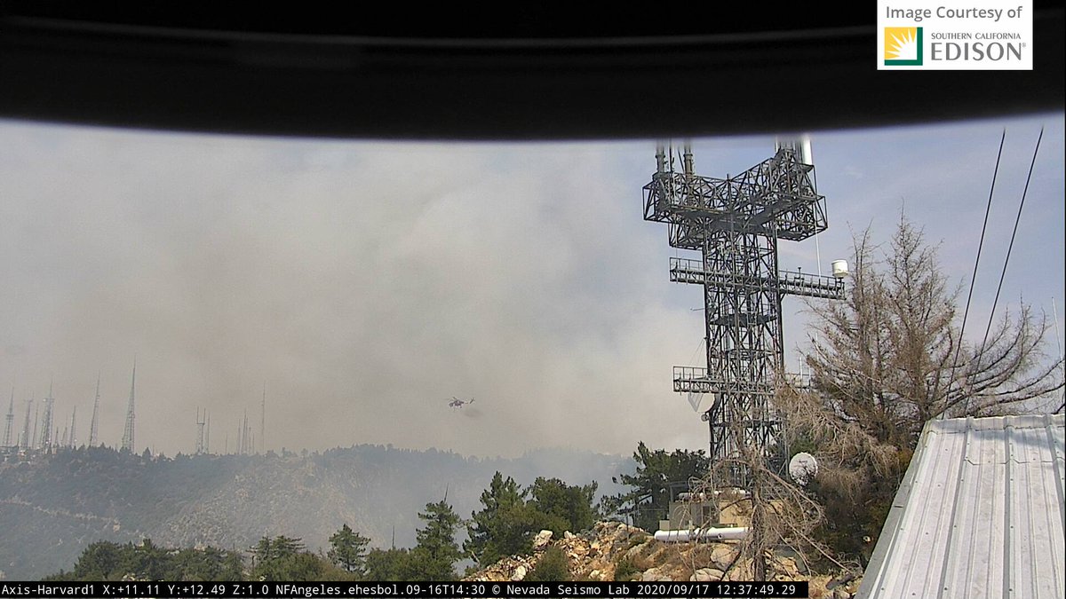
I& #39;d forgotten the Mt. Harvard cameras! Thank you @AnthonyJCook2.
Link: http://www.alertwildfire.org/orangecoca/?camera=Axis-Harvard1
Harvard1">https://www.alertwildfire.org/orangecoc... camera provides a good view of the #bobcatfire aerial firefight at Mt. Wilson Observatory. To wit (a chopper goes to parking lot, slurps water, flies back toward fire):
Link: http://www.alertwildfire.org/orangecoca/?camera=Axis-Harvard1
Harvard1">https://www.alertwildfire.org/orangecoc... camera provides a good view of the #bobcatfire aerial firefight at Mt. Wilson Observatory. To wit (a chopper goes to parking lot, slurps water, flies back toward fire):
attn @barkflight I& #39;ve been showing what I can re: Mt Wilson using available remote tech in this thread.

 Read on Twitter
