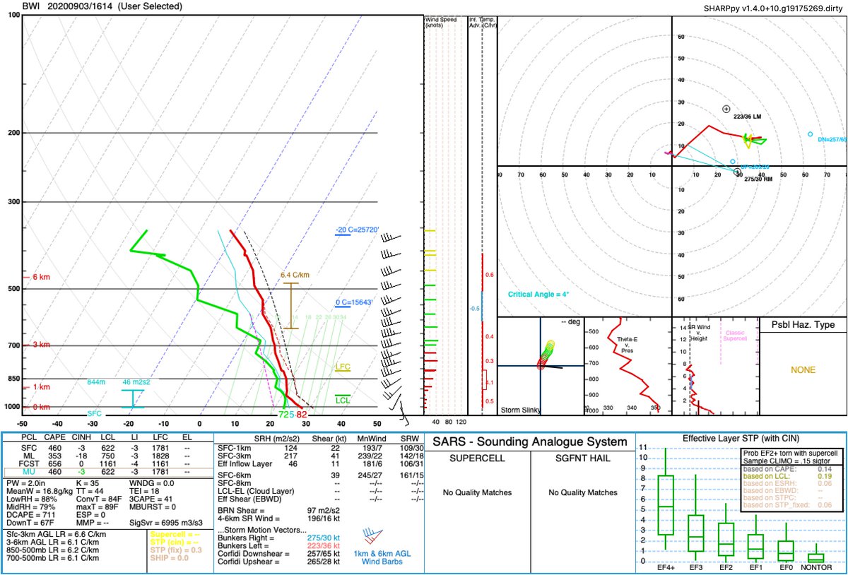
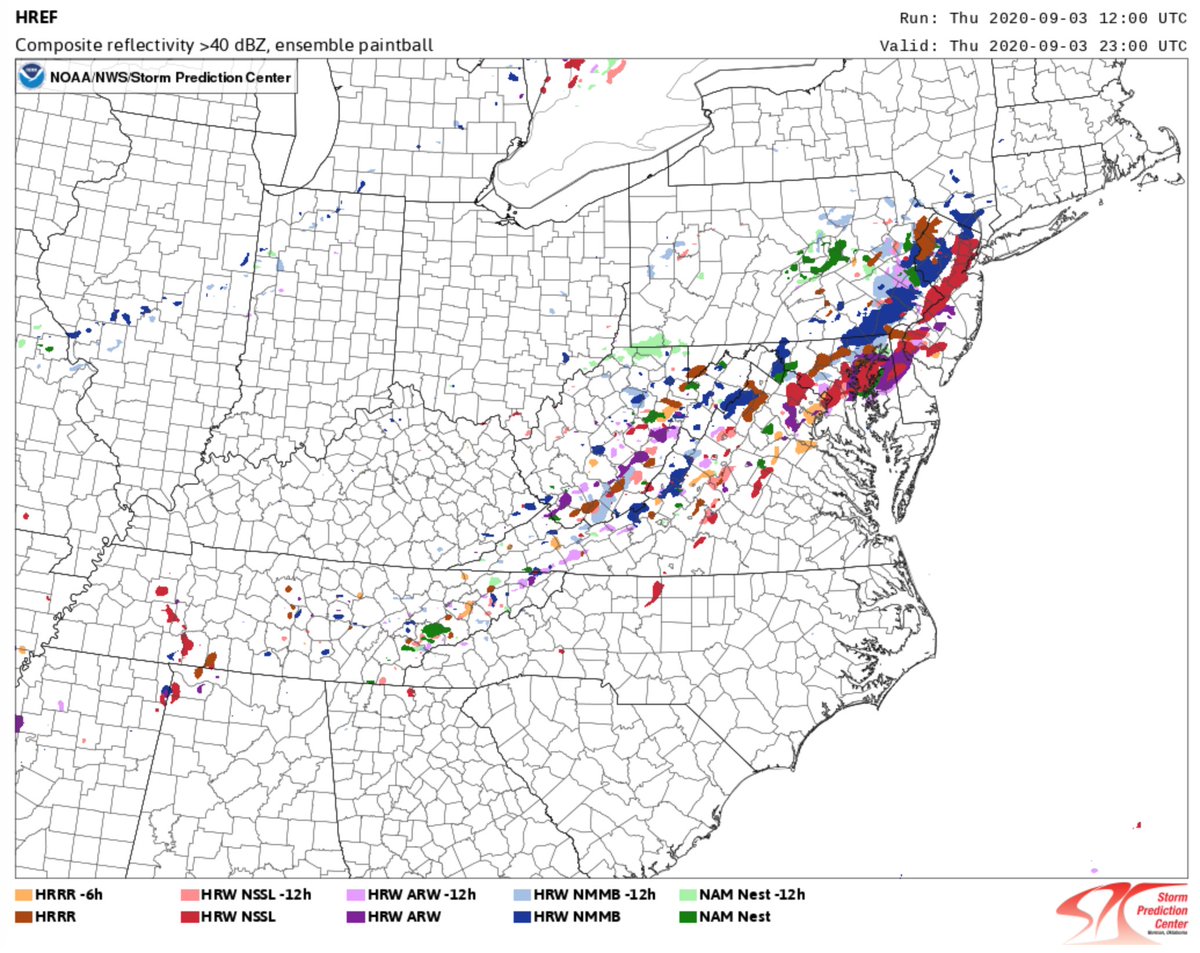
Looks kinda like a differential heating boundary in the Mid-Atlantic and some other wind shift (vaguely) reflected in the surface obs and the cu field.
As others have noted mid-level lapse rates are pretty terrible, and low-level wind fields are fairly weak. Winds aloft are also pointed pretty close to the orientation of those boundaries.

 Read on Twitter


