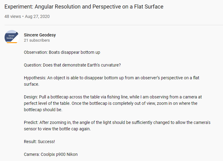
@SincereGeodesy has some problems in his video here: https://www.youtube.com/watch?v=Wio_kngBauw
At">https://www.youtube.com/watch... 0:19, the tabletop clearly drops away from his laser, as the red laser light can only be seen on the first few inches of the table. https://youtu.be/Wio_kngBauw?t=19">https://youtu.be/Wio_kngBa...
At">https://www.youtube.com/watch... 0:19, the tabletop clearly drops away from his laser, as the red laser light can only be seen on the first few inches of the table. https://youtu.be/Wio_kngBauw?t=19">https://youtu.be/Wio_kngBa...
Then, at 0:25 ">https://youtu.be/Wio_kngBa... the camera is below the surface of the table, as we are looking up at the underside of each bottle cap. This defeats the purpose of his hypothesis.
Finally, @SincereGeodesy& #39;s entire premise is flawed. The bottle cap on a table is not equivalent to a boat on the water. He did not establish the "flatness" of his table. Even if he did, it does not equate to a measurement of Earth& #39;s surface.
If @SincereGeodesy sincerely wants to employ geodesy, he needs to acquire surveying equipment equal to the task and make measurements of Earth& #39;s shape. His table and bottle cap are insufficient for dealing with actual measurements made in the field. https://youtu.be/CTjTUw26clQ ">https://youtu.be/CTjTUw26c...

 Read on Twitter


