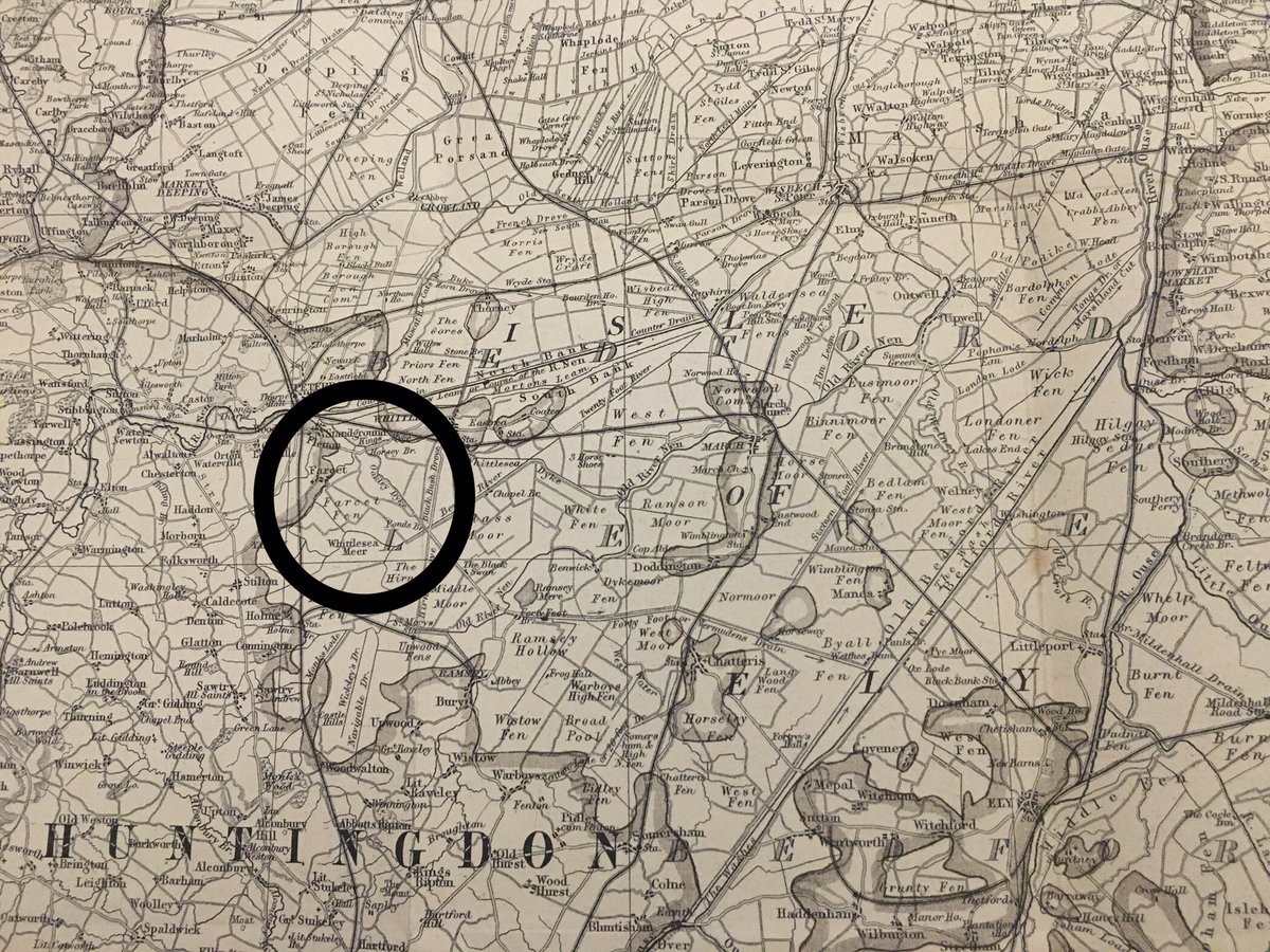
We live in the northern Huntingdonshire #fens. Farcet Fen (circled) lies immediately north of the site of the former Whittlesea Mere - then the largest freshwater body in lowland England. Drained in the 1850s (map from Miller & Skertchley, 1878, The Fenland Past & Present)
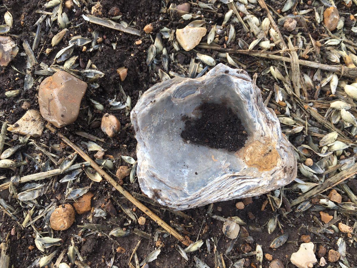
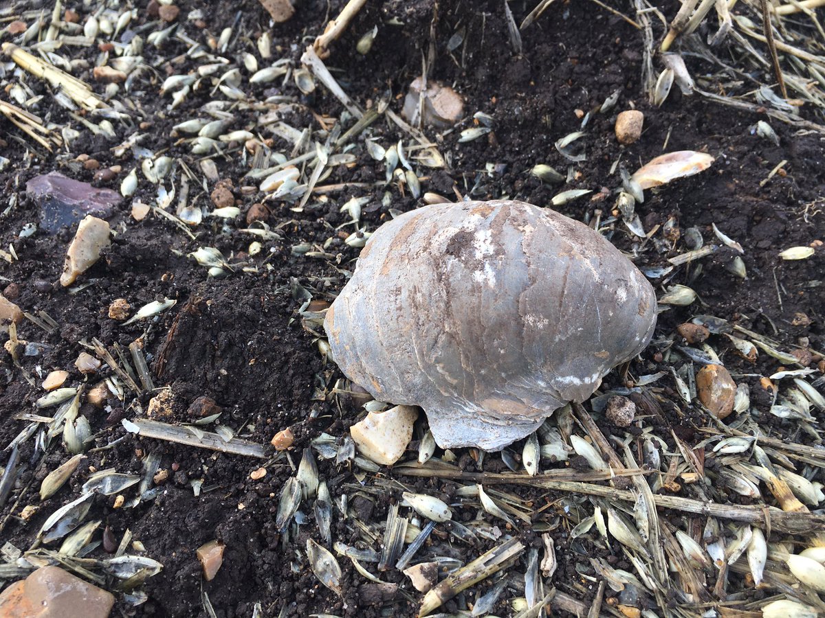
The thin peat layer that forms The #Fens sits on a mix of Jurassic, Cretaceous and Quaternary sediments. The fields around our house are littered with these fossilised shell remains from when this area was under the sea. As the peat thins, more come to the surface.
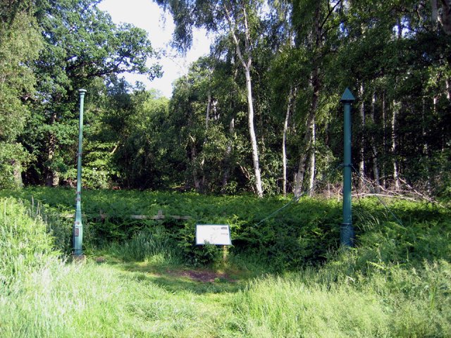
And as the peat shrinks, the land sinks. Our house is 1m below sea level. A couple of miles away are the Holme Posts which sit 2.75m below sea level. The top of the left hand post was the land surface in 1848 when Whittlesea Mere started to be drained.
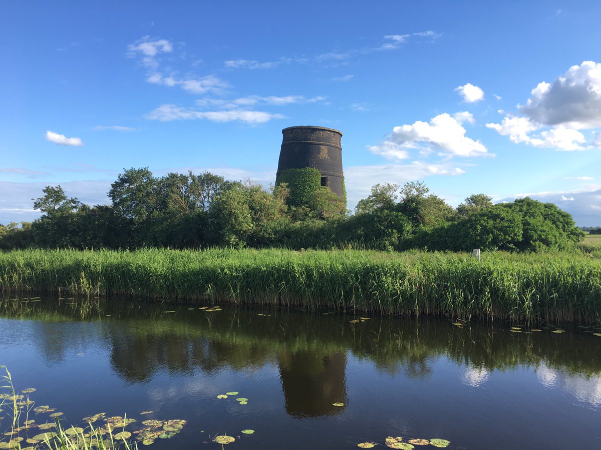
If it wasn’t for an efficient system of drains and dykes which pump the water off the #fens, often from below sea level, into the rivers which flow out to The Wash, we and the surrounding arable farmland would be under water. This is the old windmill pump at Ugg Mere
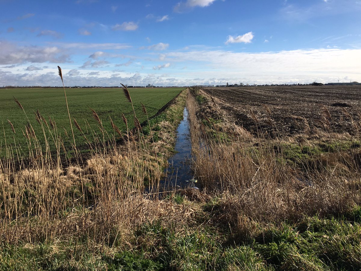
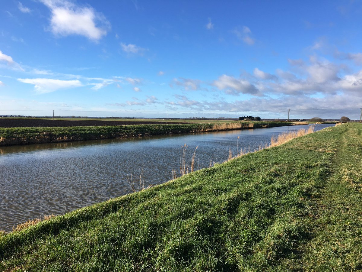
Small dykes/drains start at the highest part of the fen and flow into wider dykes in turn before being pumped (up) into our local forty foot (wide) drain. Our local forty foot then flows north east into the tidal reaches of the River Nene near Guyhirn and our to The Wash.
The @greatfen project aims to restore a large swathe of arable farmland back to natural fen. I think Part is ear marked to restore to a mere on the site of the old mere. Not sure how they’ll achieve it without significant change to the hydrology and surrounding drains.

 Read on Twitter