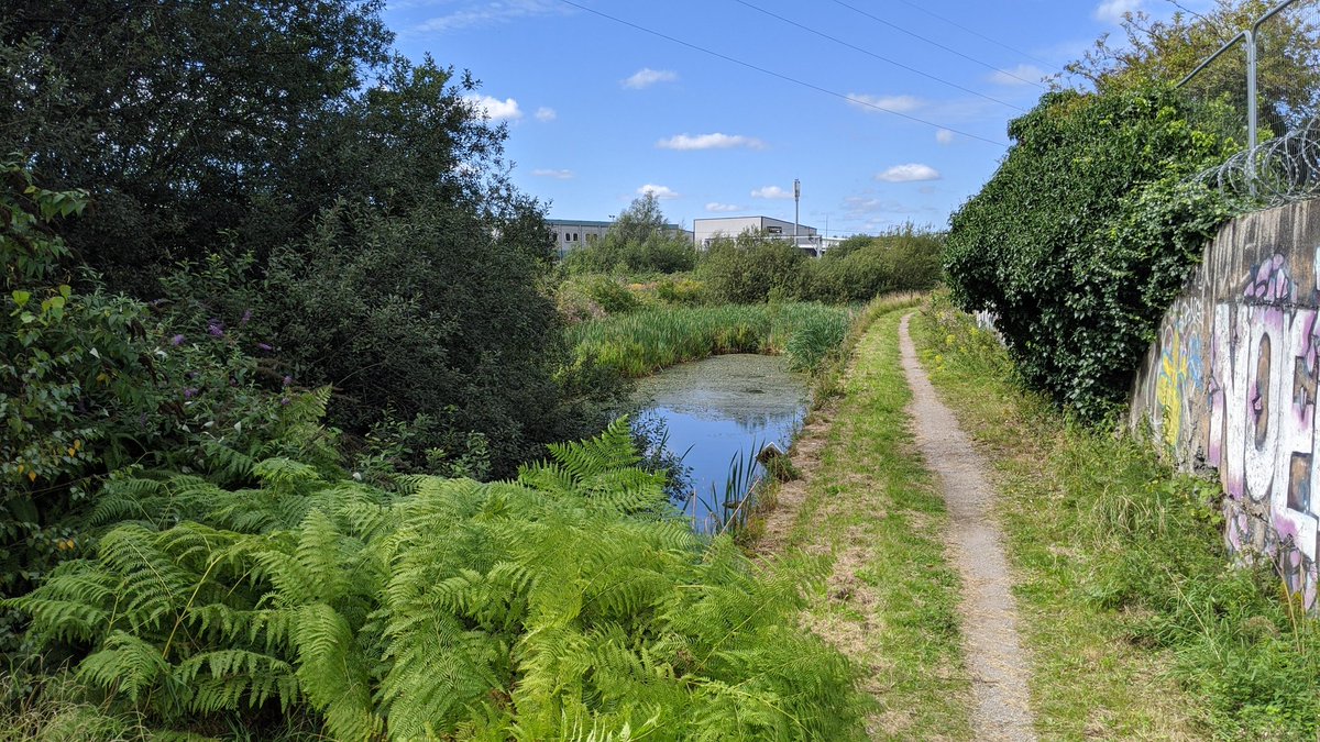
I& #39;ve traced what remains of the Manchester, Bolton and Bury canal in Salford until it becomes a path again.
I live on the canal, having access to it where I have an allotment.
Going to do a thread below of what I& #39;ve discovered.
I live on the canal, having access to it where I have an allotment.
Going to do a thread below of what I& #39;ve discovered.
We start at the end, where it meet the Manchester Shipping Canal, one of the deepest locks in the UK under Trinity Way.
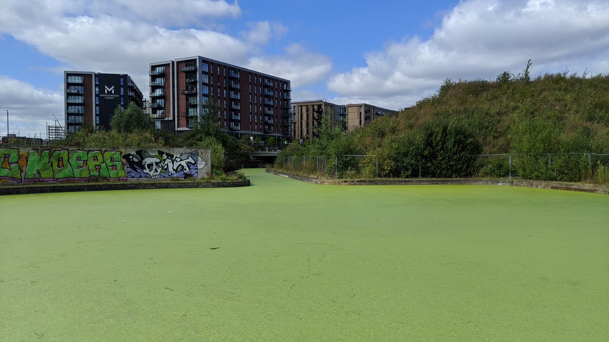
From there it becomes a basin, which was restored in 2008 for the new development @MiddlewoodMcr
We rejoin the other side of Oldfield Road, where the canal sits behind Chapel St on a surface carpark.
You can see the old tow path for the first time.
You can see the old tow path for the first time.
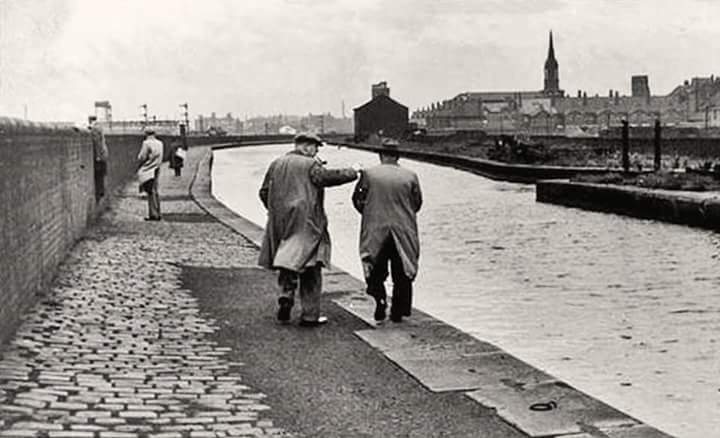
Here we have an old photo of the canal, I have roughly managed to get a modern day shot of the same spot
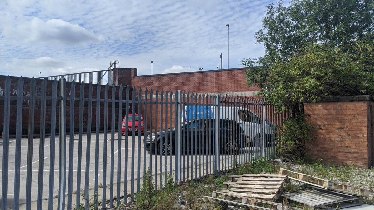
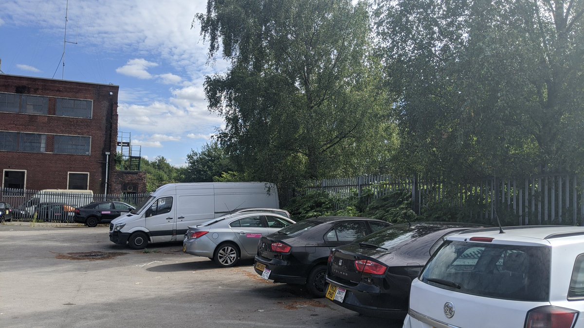
The canal is on the left of this car park and is inaccessible and overgrown.
The canal is on the left of this car park and is inaccessible and overgrown.
You can see the houses I live in on the old photo of the canal, at this point it becomes an allotment for residents.
We use the old tow path to get around and the canal is filled with planters. My back garden opens onto the canal path.
We use the old tow path to get around and the canal is filled with planters. My back garden opens onto the canal path.
Here& #39;s a arial shot from the 30s, showing the canal going around the back of The Crescent.
It then follows the back of a surface car park, formally Christchurch.
This can be seen from the aerial shot too.
This can be seen from the aerial shot too.
The canal is now a road, it goes under a bridge and out at a roundabout next to Salford Crescent Station and the Uni.
You can walk on this section, it& #39;s raised and goes along the side of the Uni, it then becomes a car park in an industrial park
This shot shows where we are up to. Going past Peel Park which was in a empty area, it& #39;s now the University.
At this point it& #39;s hard to get on the canal as it goes through lots of private land.
The best way to view it is off road and pedestrian bridges.
Canal House can be seen next to its existing water way behind to the left.
The best way to view it is off road and pedestrian bridges.
Canal House can be seen next to its existing water way behind to the left.
The bridge over Frederick road still exists and you can see the canal where this car park meets the bridge. It is bricked up.
Across the other side there is a warehouse
Across the other side there is a warehouse
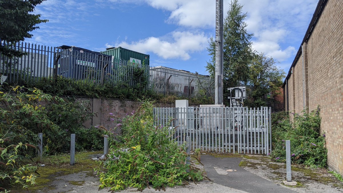
More car parks and overgrown sections which you can& #39;t access
Another bridge on Broughton Road gives great views of the overgrown nature of the canal.
At this point we return to the side of a cash and carry
At this point we return to the side of a cash and carry
Alongside the old mill, probably using the canal to transport goods, we have a small section of the canal path intact!
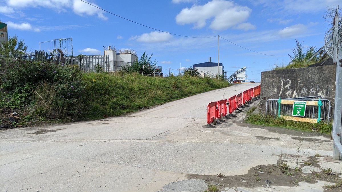
The canal is at some hight now, going over the side of some industrial buildings
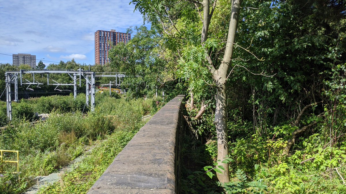
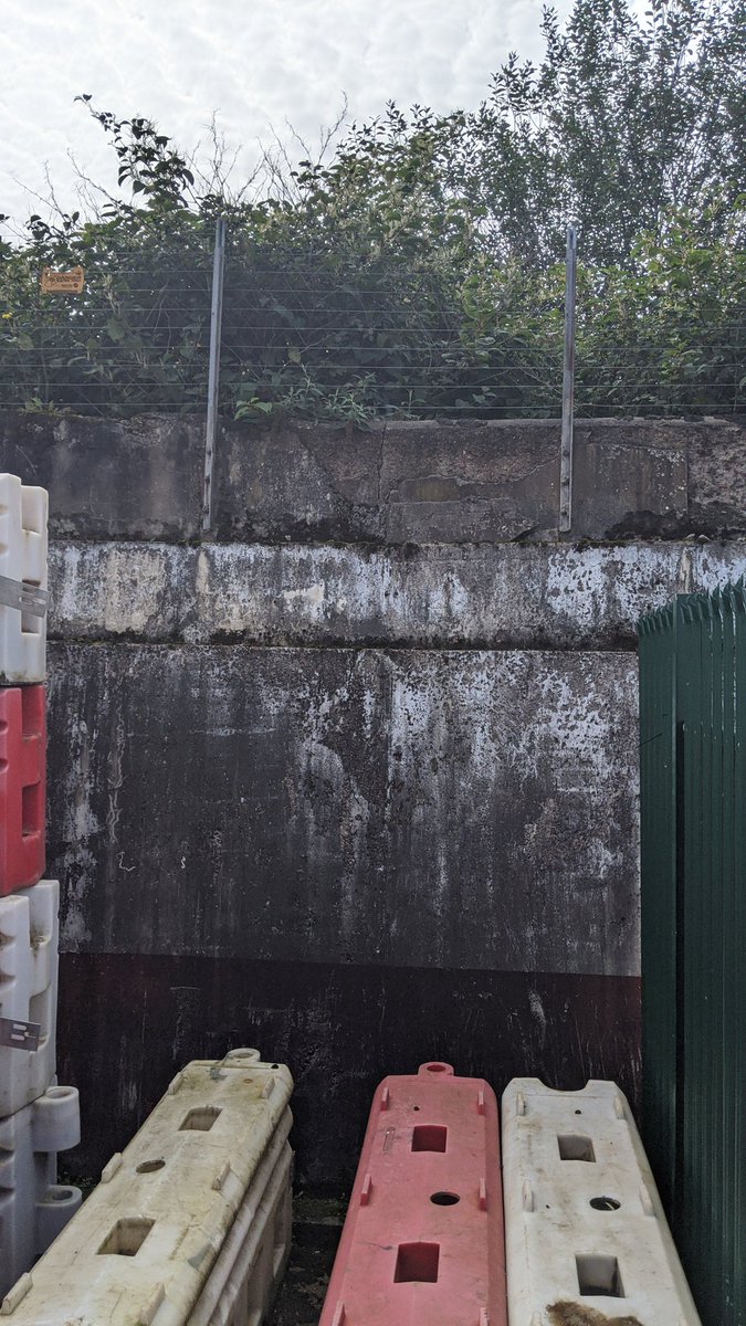
You can see the wall here probably build later to hold back the embankment
You can see the wall here probably build later to hold back the embankment
This is the final section before the canal goes under Park House Bridge, where you can rejoin it on bike or foot.
You can walk or cycle (gravel or mountain bike) this section for a while until it gets fairly inaccessible, but worth a good gander.
You can walk or cycle (gravel or mountain bike) this section for a while until it gets fairly inaccessible, but worth a good gander.
Thanks for joining me on the path of a former canal going through Central Salford!
It was a fun exploration, I may even do a walking / cycling tour along the canal
Please leave me a reply if you& #39;d fancy it
It was a fun exploration, I may even do a walking / cycling tour along the canal
Please leave me a reply if you& #39;d fancy it

 Read on Twitter


