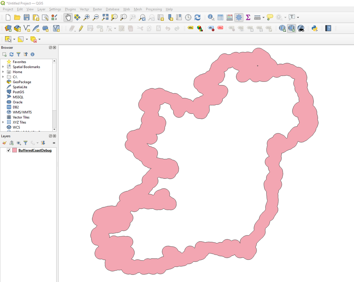
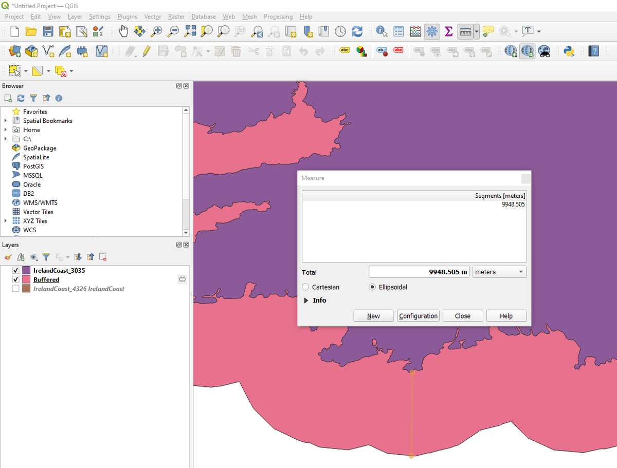
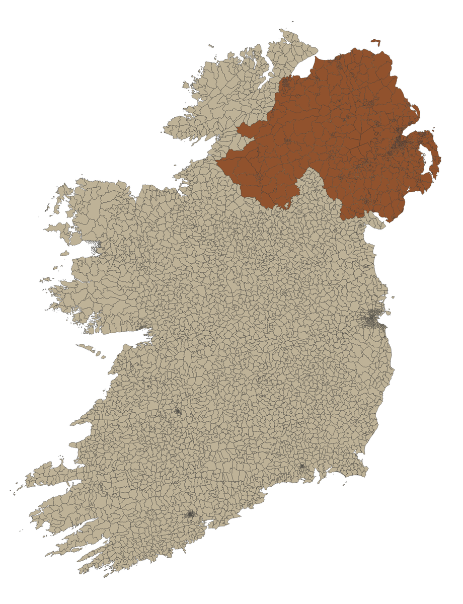
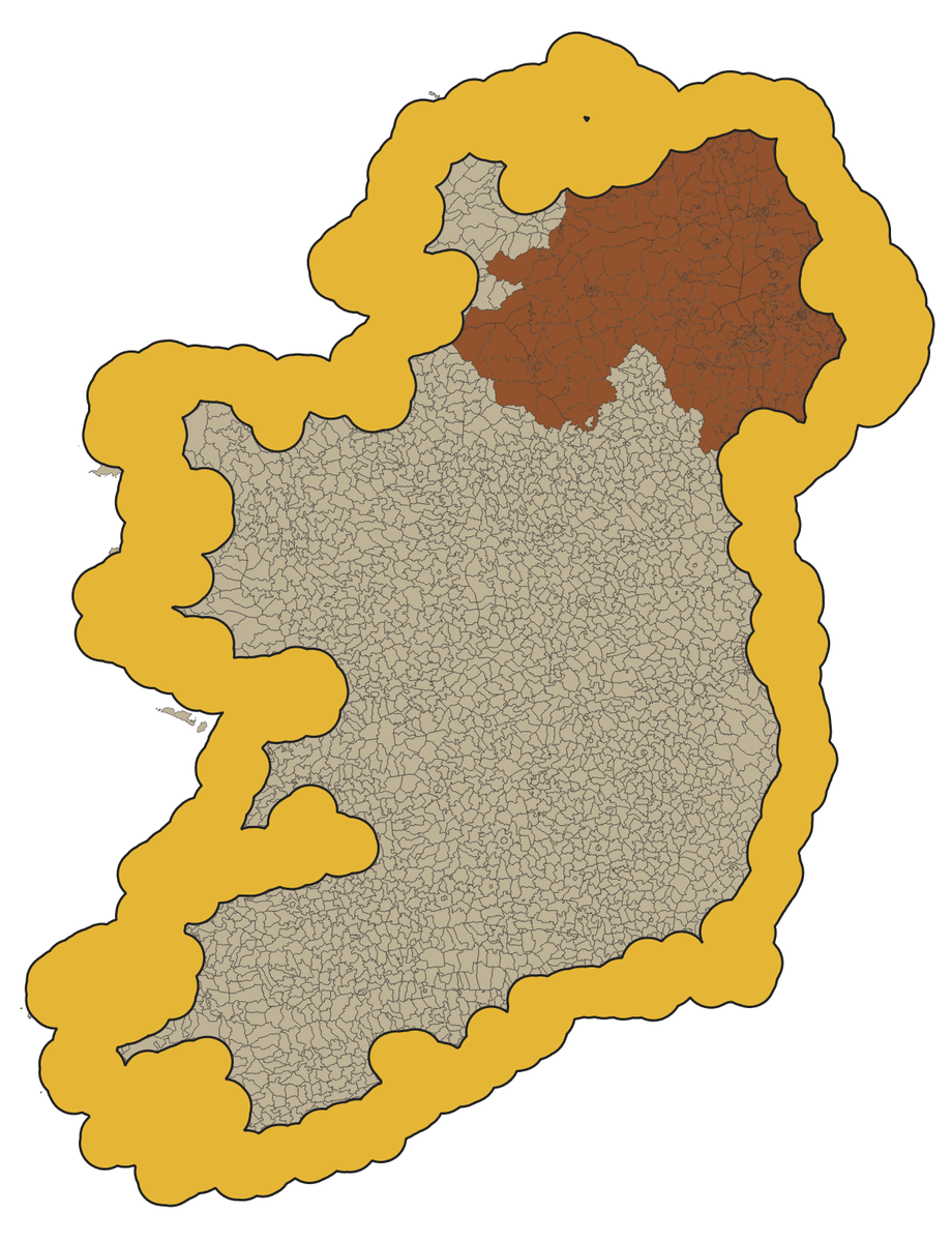
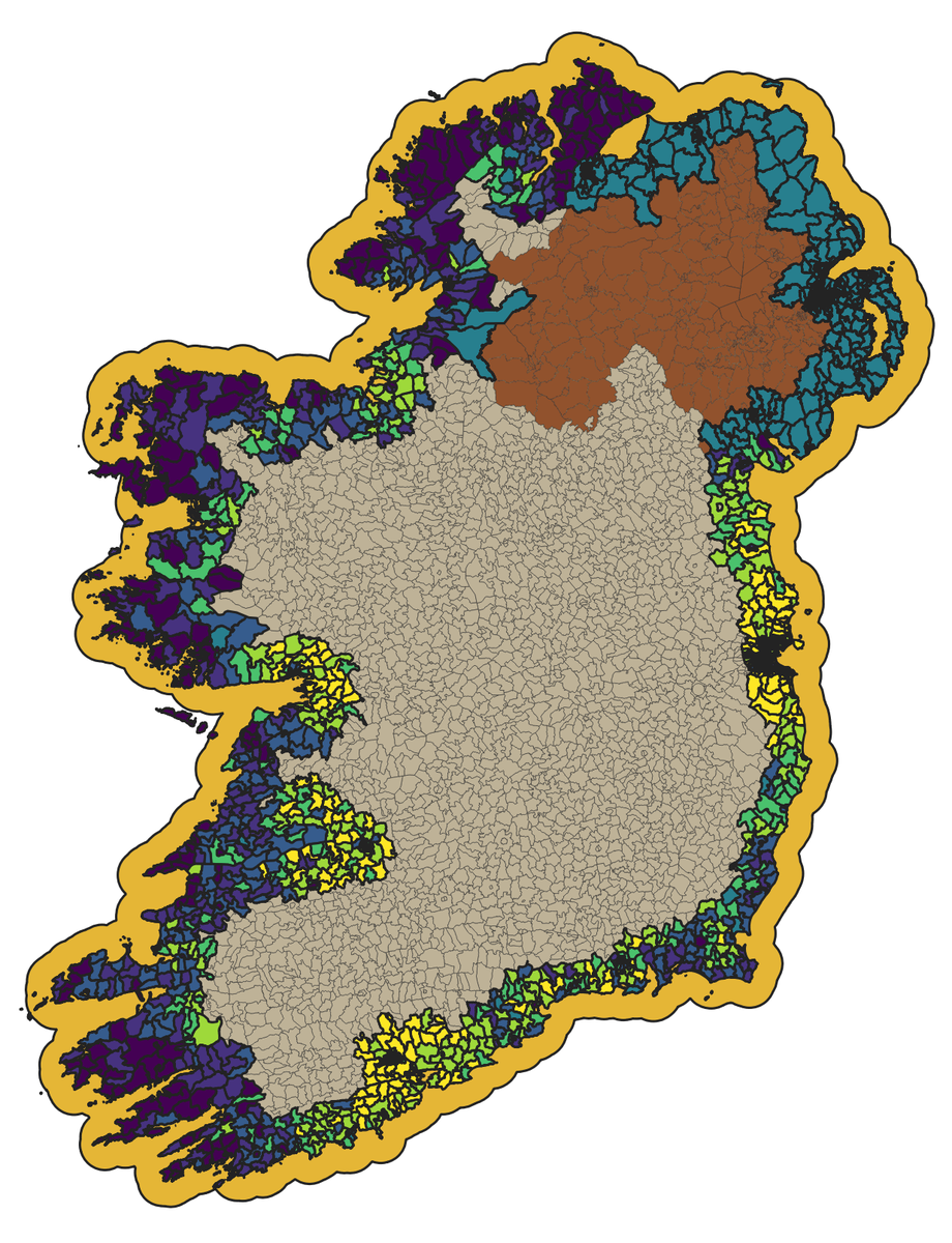
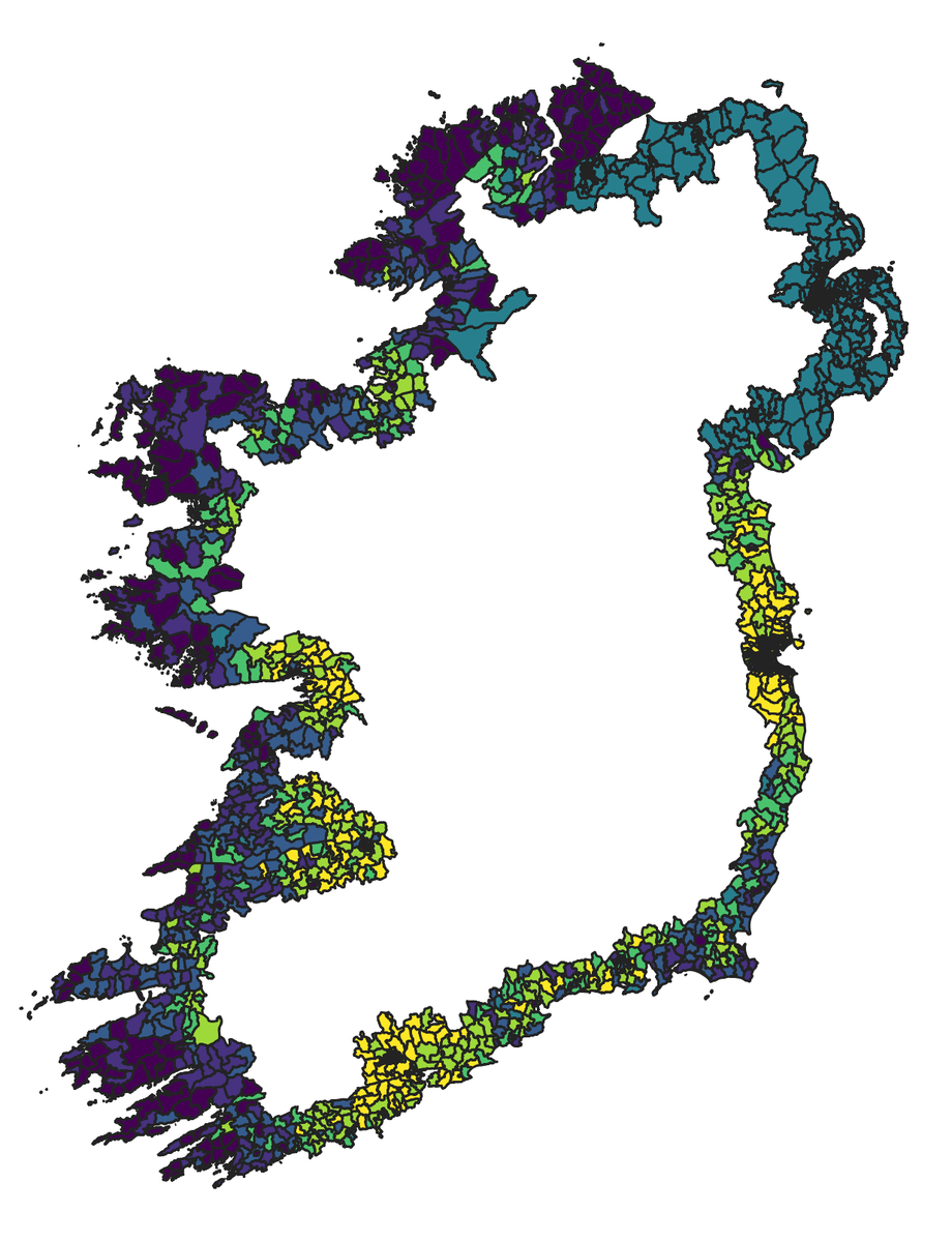
Such a relief when weeks of trying things starts to work. And the first results are so often so underwhelming. Here& #39;s a map of everywhere within 10km of the coast of Ireland.
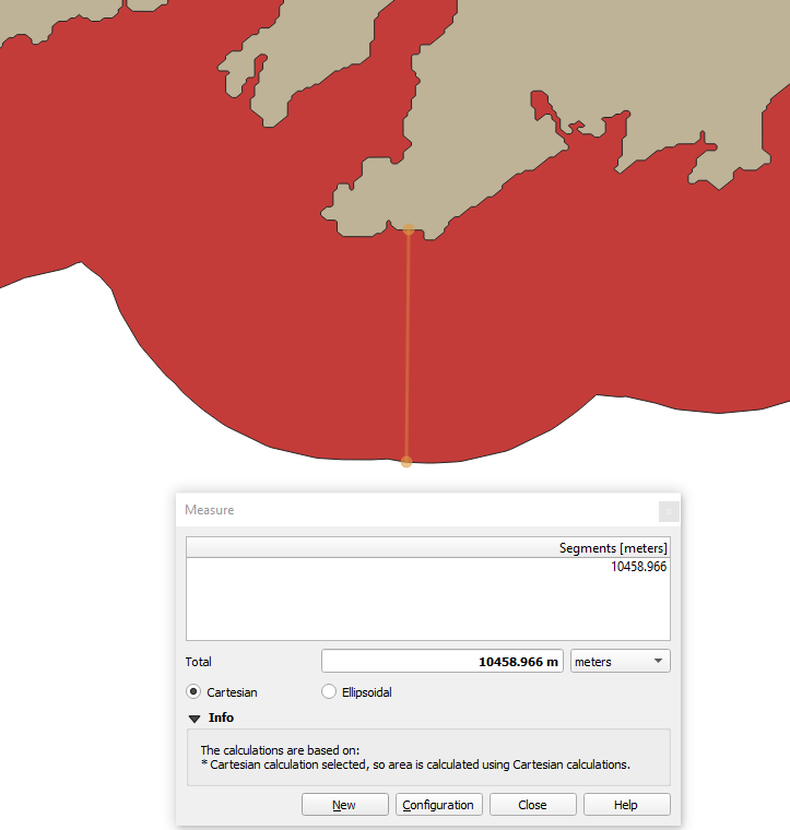
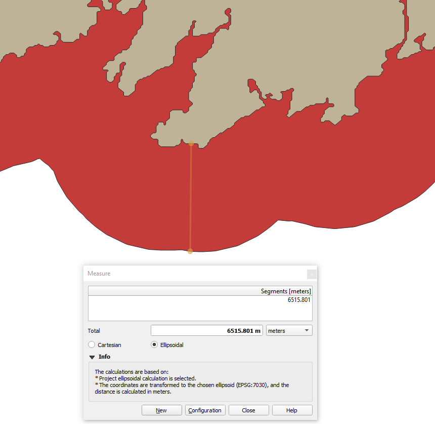
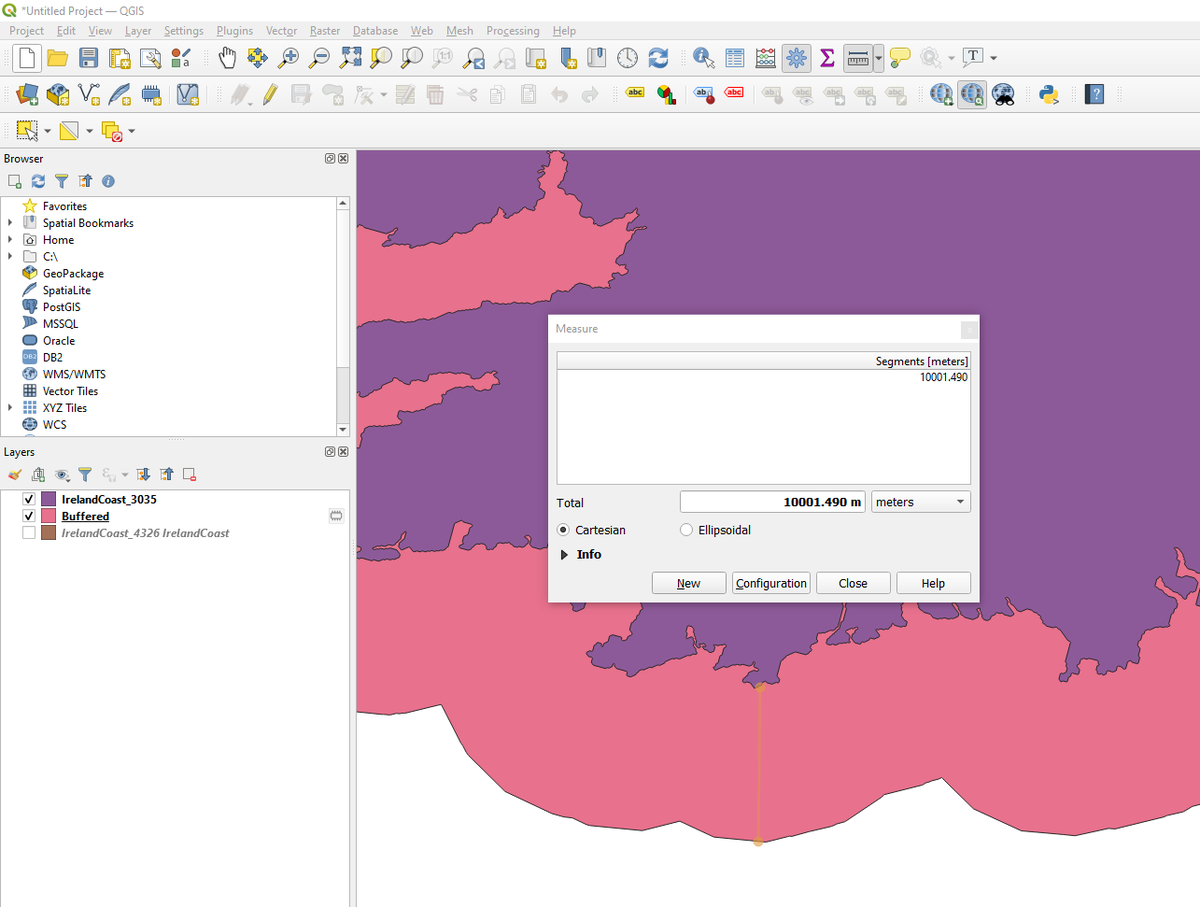
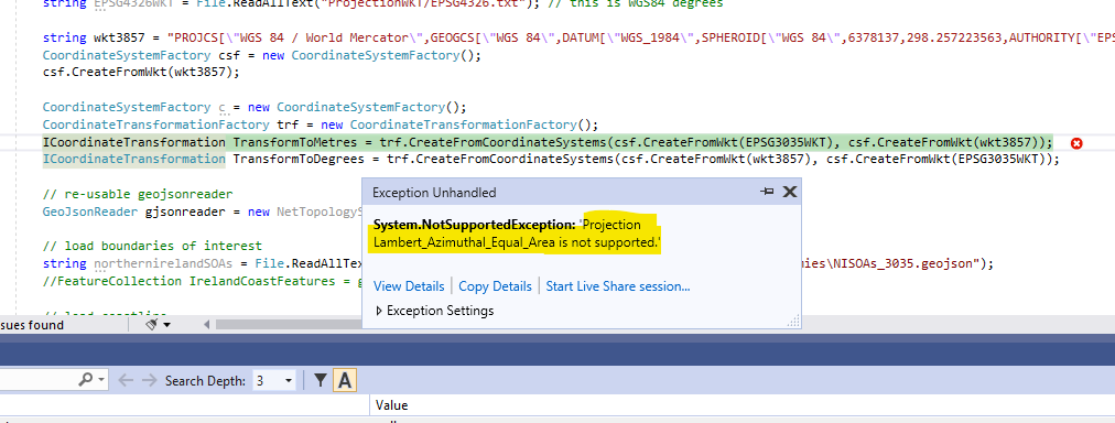
My relief was premature. The Earth being a sphere is such a pain.
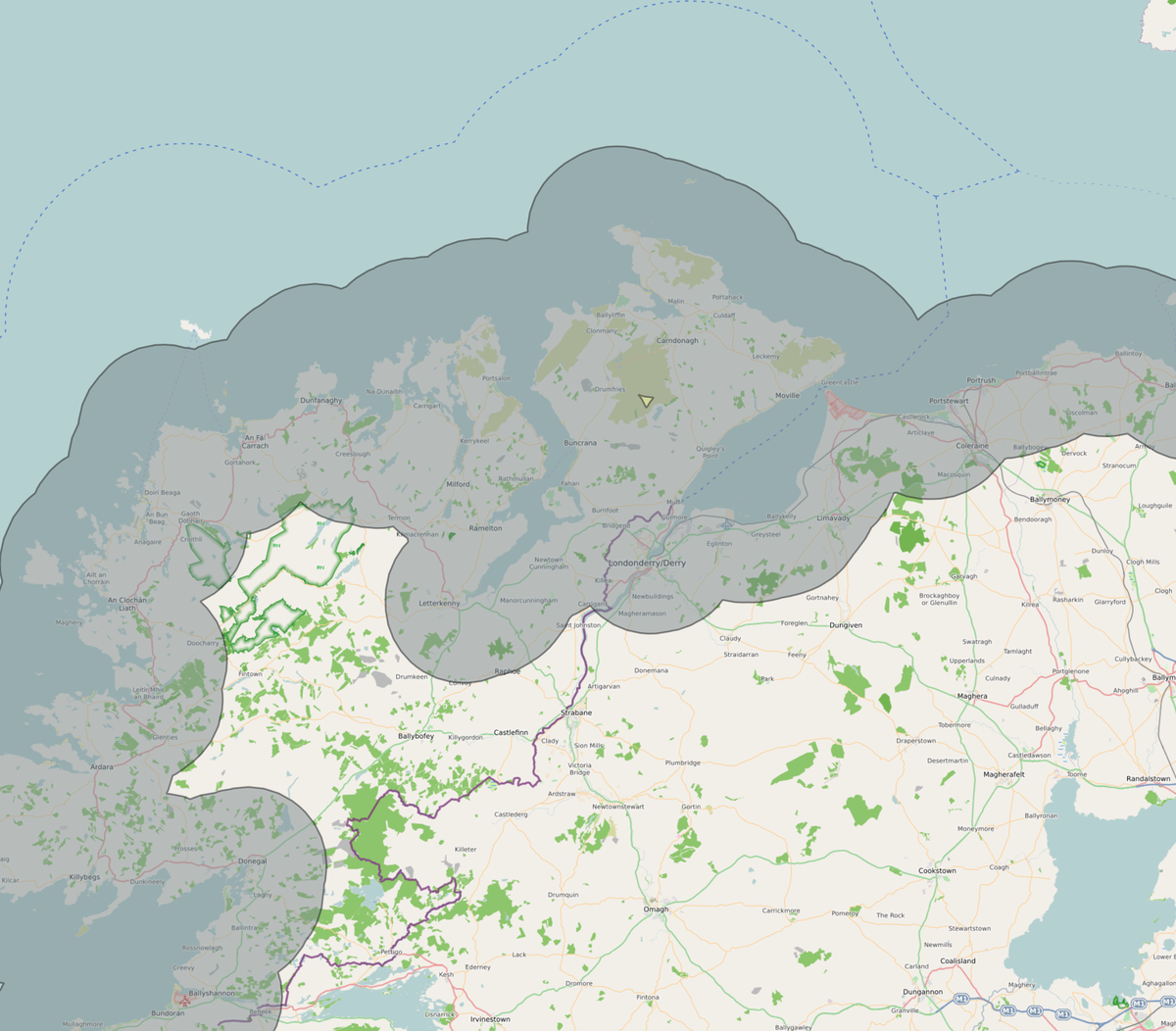
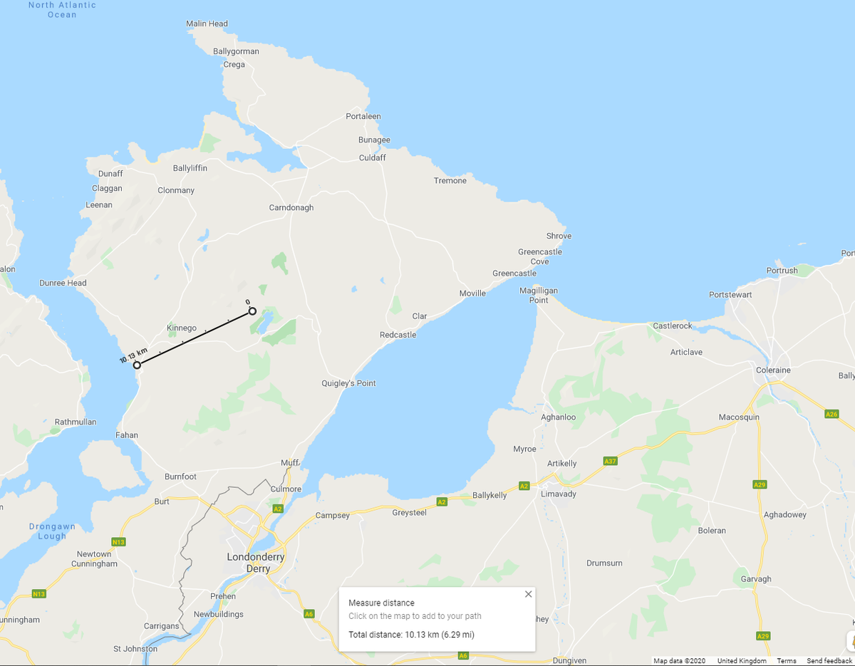
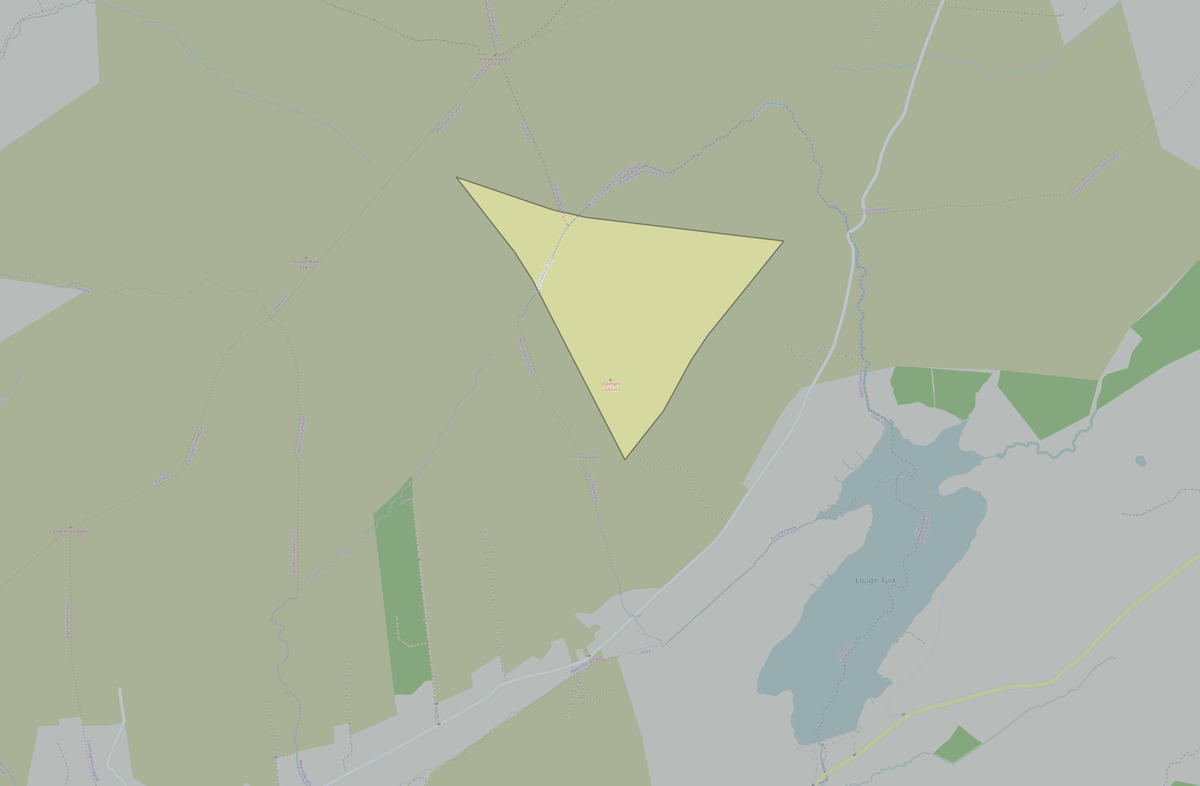
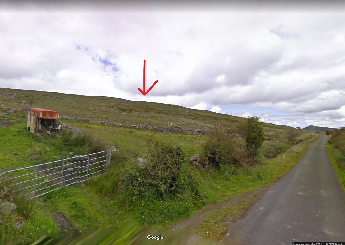
I& #39;m feeling more confident now. I& #39;d like in particular to thank the small mountain of Damph in County Donegal whose position uniquely in the Inishowen peninsula of being over 10km from the coast let me quickly test dozens of options.
Thinking about it, on the day of John Hume& #39;s funeral, I chose to do all debug for this project for the same reason as I used Northern Ireland as my example for when I updated the Wikipedia page on Indices of Multiple Deprivation --- because it& #39;s least likely to upset anyone.
Which is in part thanks to John Hume. When I do work with data about the island of Ireland I always get great help and support and suggestions from North and South, both the parts they live in, and the parts they don& #39;t. It& #39;s not long that that& #39;s the case.
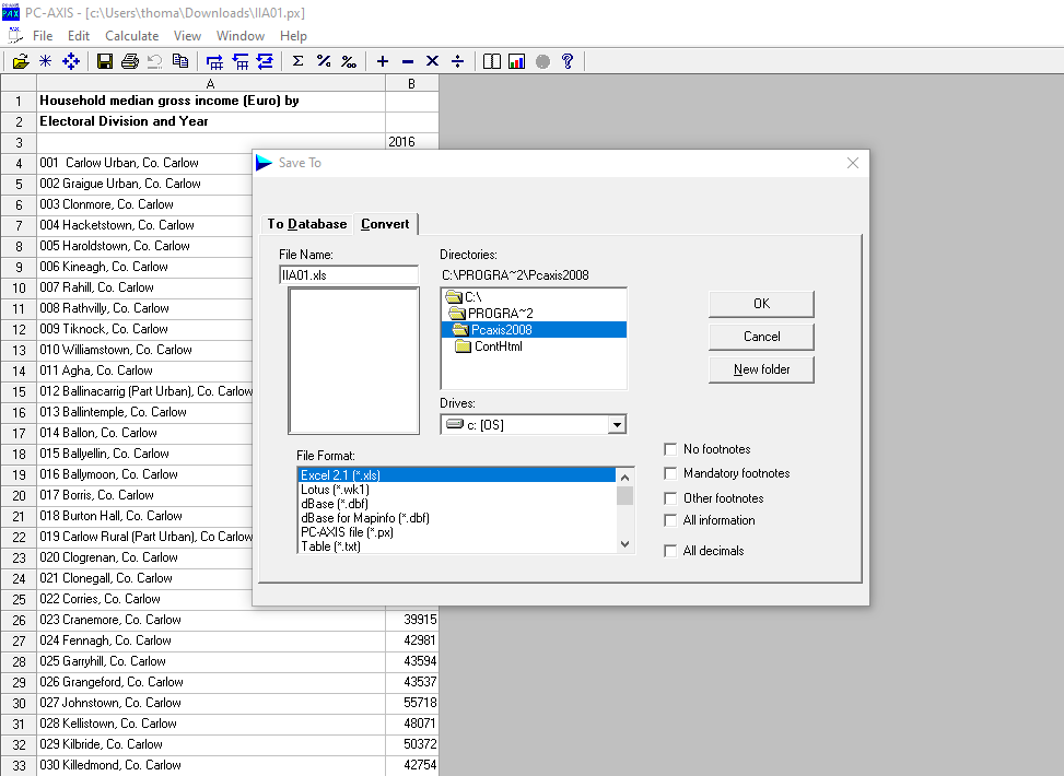
One of the hardest and most expensive things Microsoft does with Windows and Office is retain backwards compatibility. I& #39;m glad of that. It lets me access Irish small-area income data and export it in the glamorous format of Excel 2.1.
It& #39;s a good island. And it has taught me a lot about the earth and the maths of slightly squished spheres.
Writing this up for the @ODILeeds blog now. Maximo Park& #39;s first album A Certain Trigger will be the theme tune for that work. I will restrain myself from adding too many lines from the song to my post. https://www.youtube.com/watch?v=5ZwlgP21JhE">https://www.youtube.com/watch...

 Read on Twitter