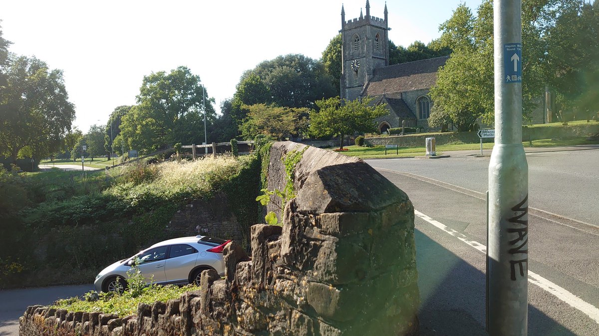
#UrbanPrehistory time. I know from experience that threads with St*n*h*ng* in them can attract a bit of attention, but what about a sarsen-strewn traffic junction in Swindon? With a church, and a river, and more? This one, in fact... How complicated can a roundabout be? (1/24)
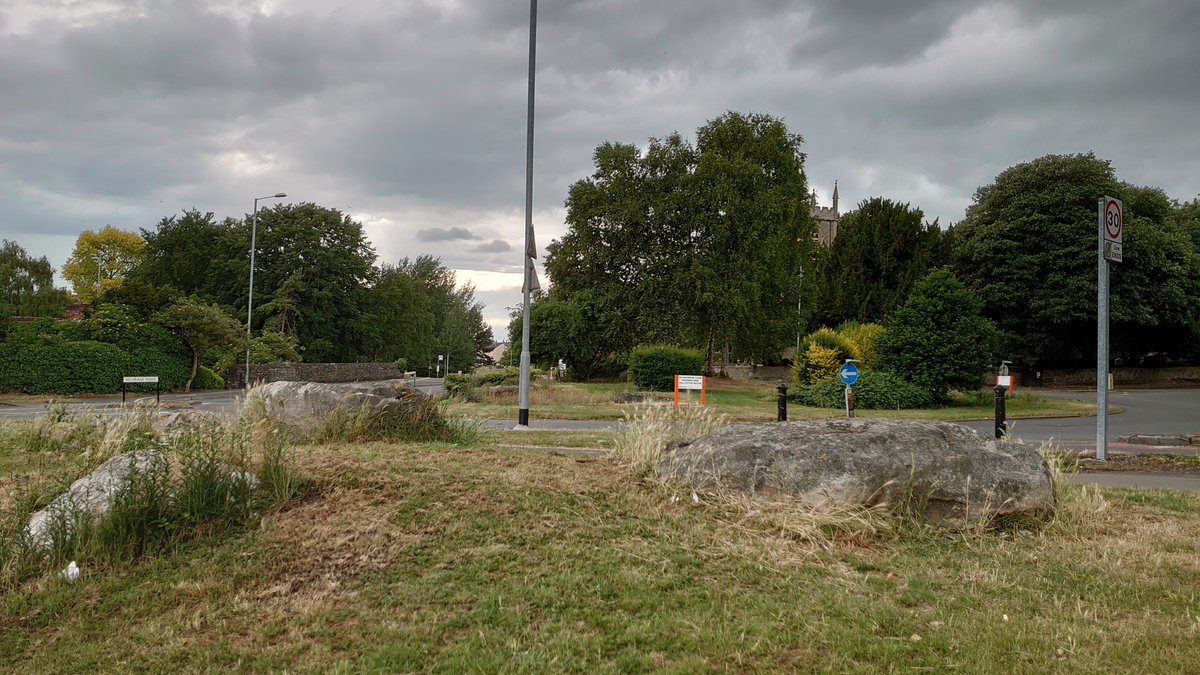
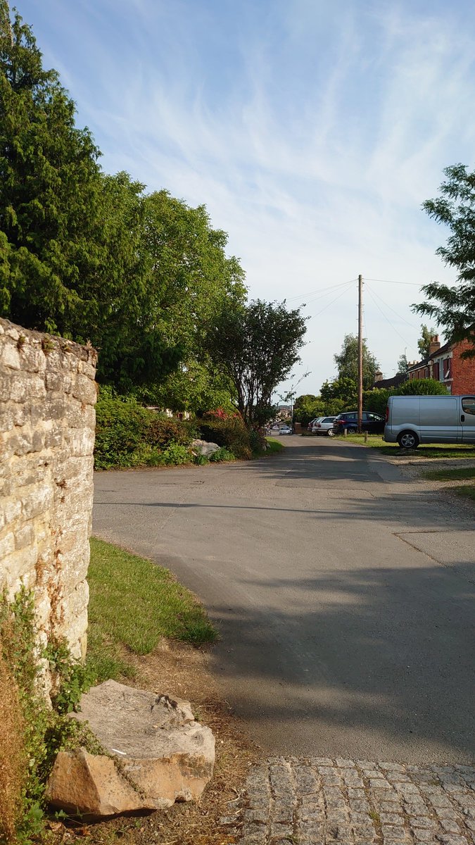
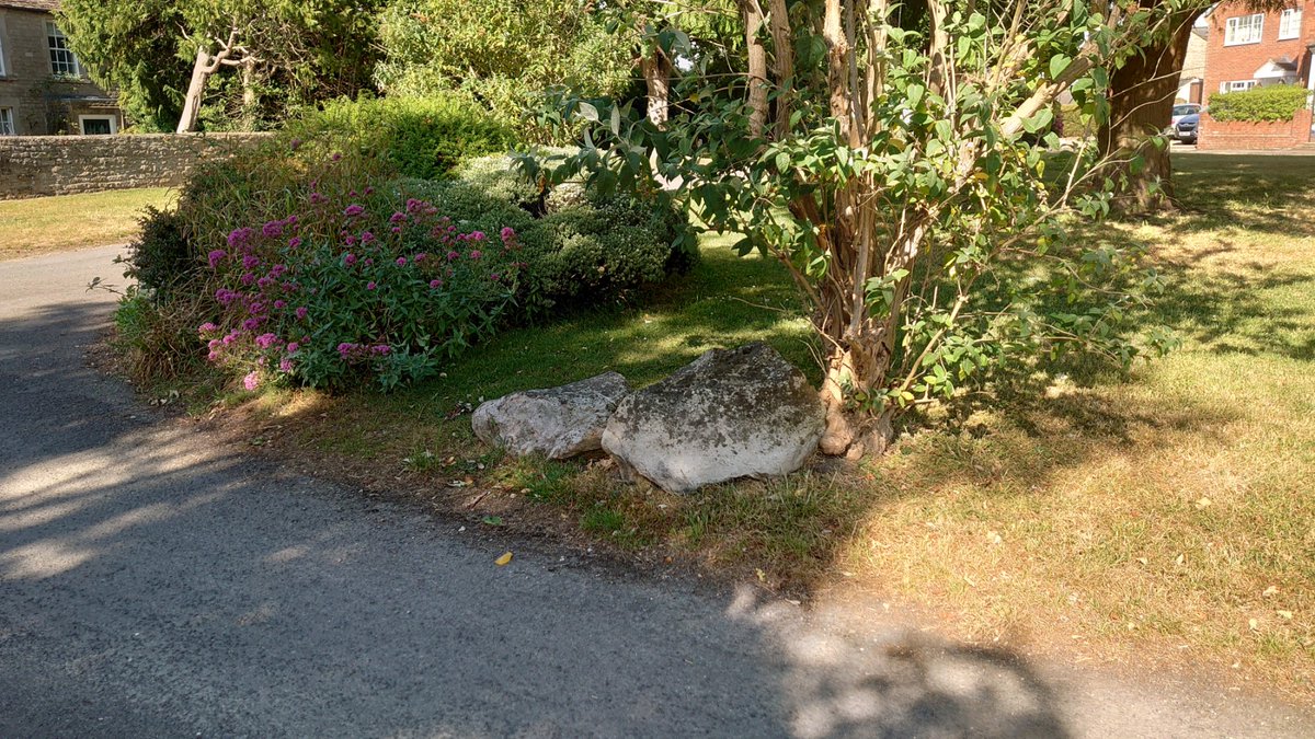
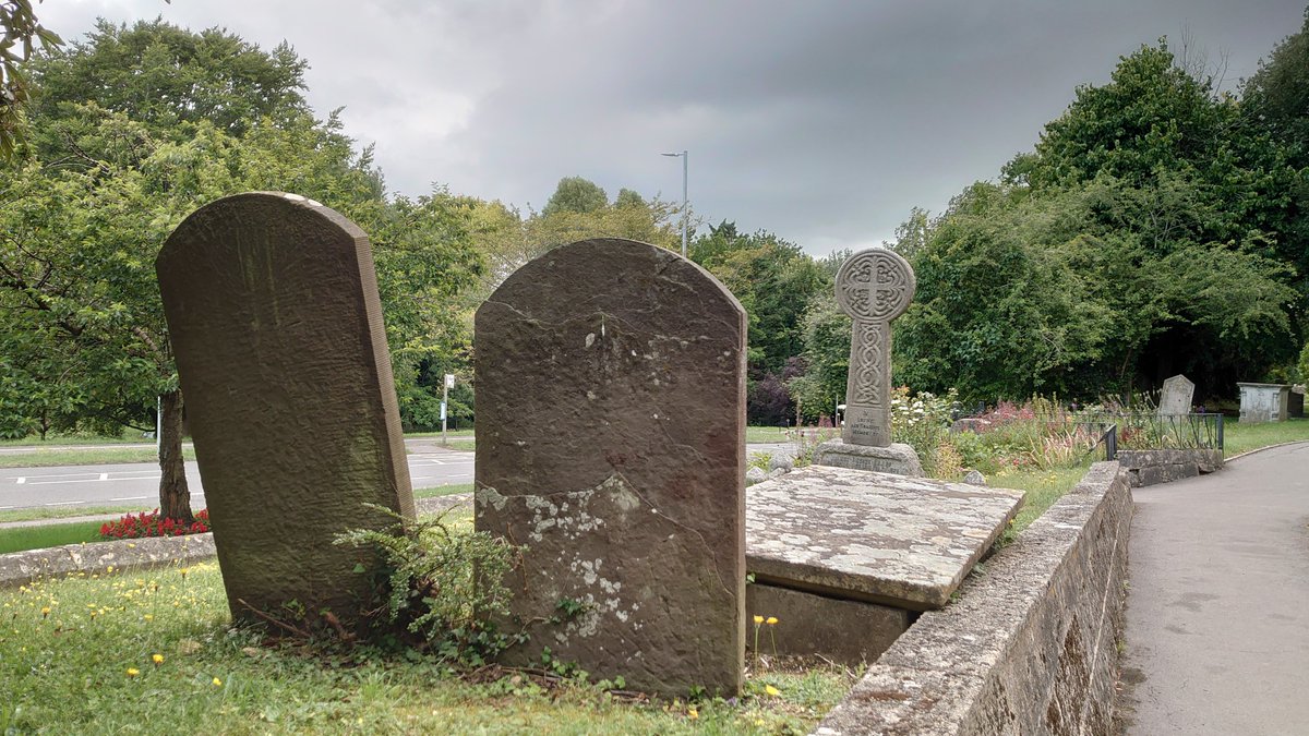
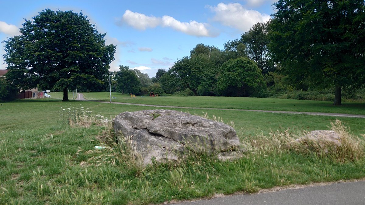
There are sizeable sarsens on the roundabout, on the roadside to the SE, and in front of the church on the opposite (NW) side. What are they doing there?
I first saw them way back in the last millennium, and distinctly remember thinking & #39;Hmmm& #39; or something like that. (2/24)
I first saw them way back in the last millennium, and distinctly remember thinking & #39;Hmmm& #39; or something like that. (2/24)
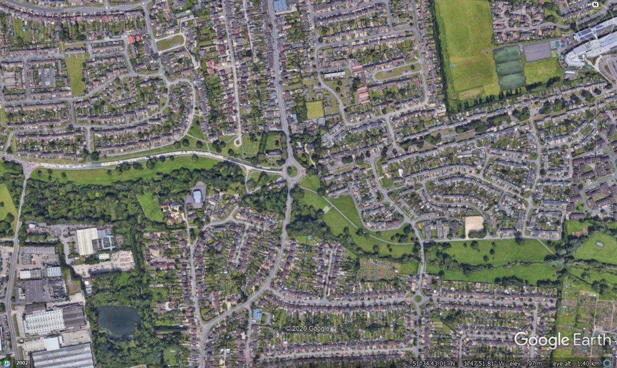
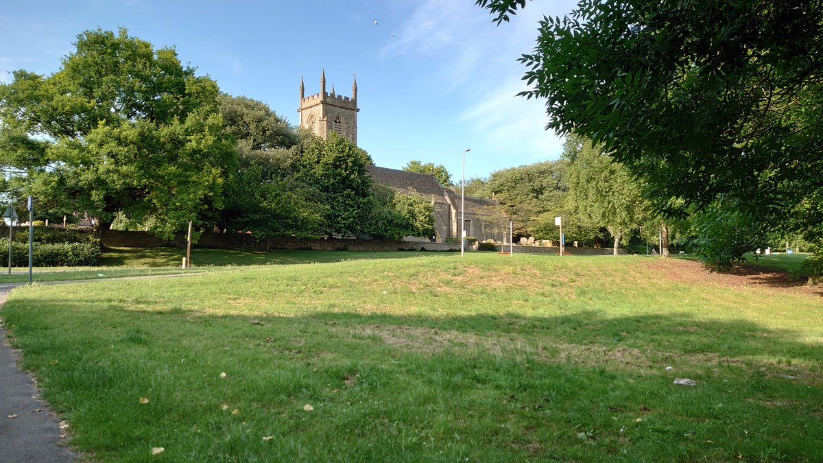
The roundabout is in a part of Swindon called Rodbourne Cheney, a largely residential area to the north of the town. The church is called St Mary& #39;s. Here& #39;s a couple of Google Earth screenshots to set the scene, with the roundabout in the centre and north to the top. (3/24)
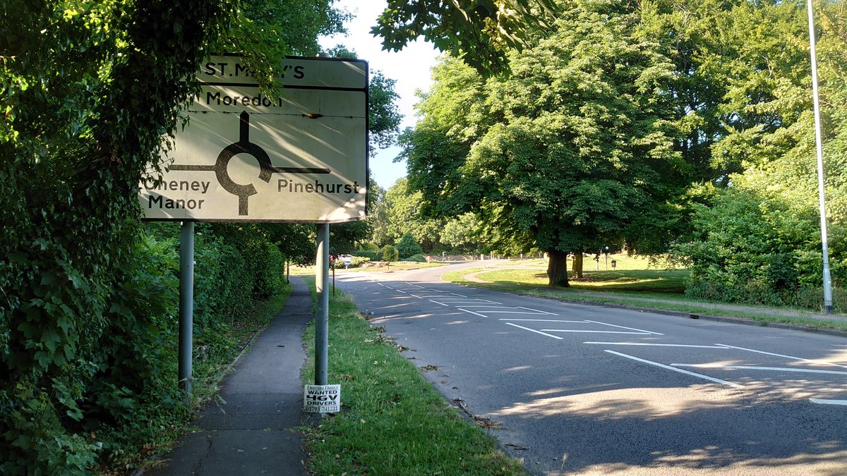
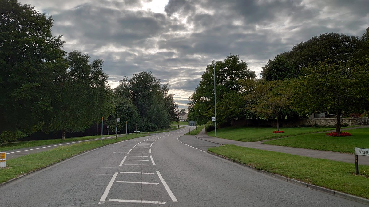
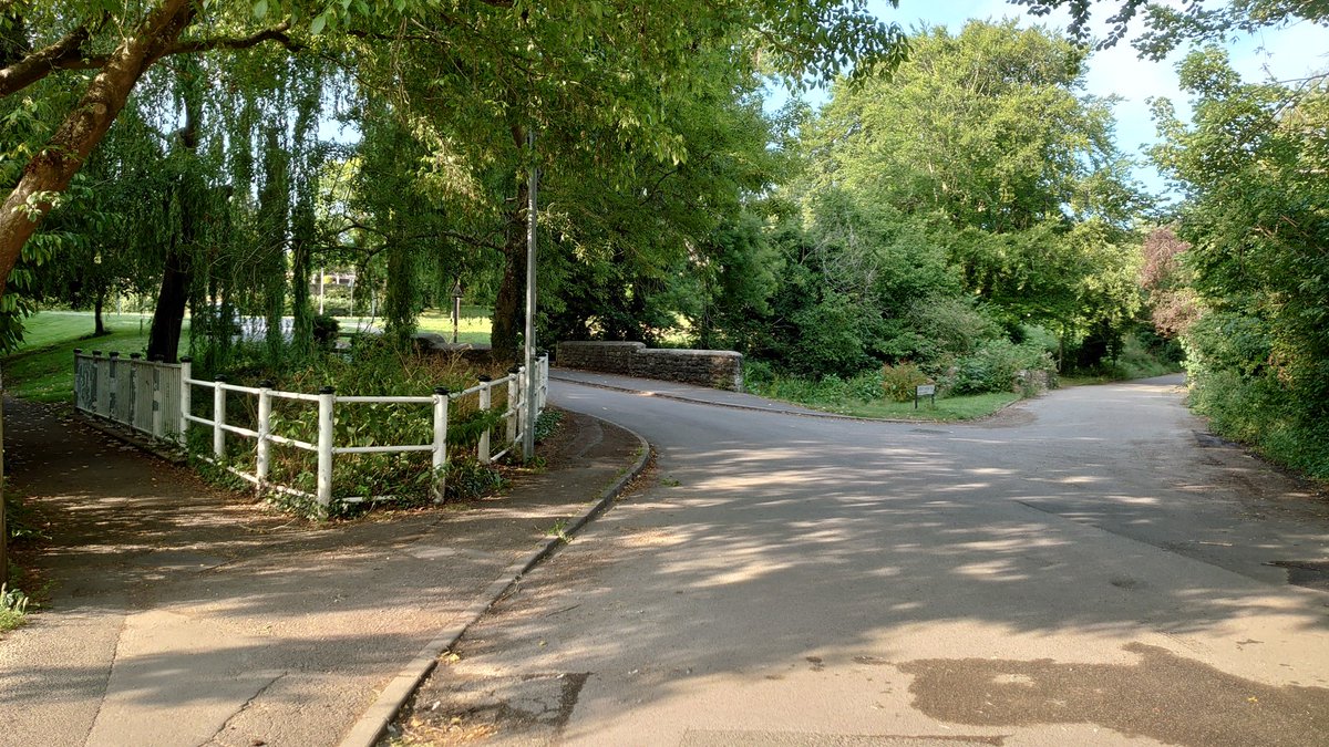
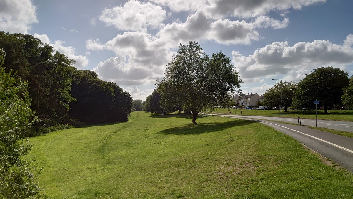
It all looks quite green and open when you get close in, doesn& #39;t it? The road south (Vicarage Road) heads towards the centre of Swindon (sort of), while those heading north, east and west take you to and through other residential areas. (4/24)
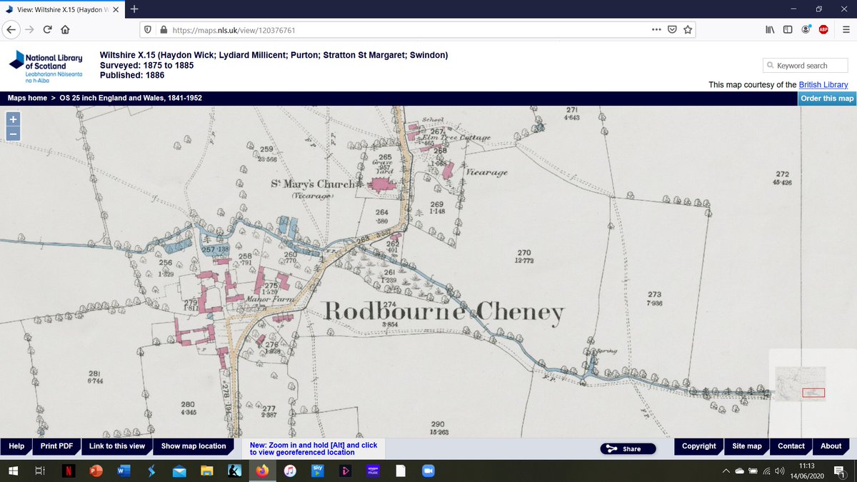
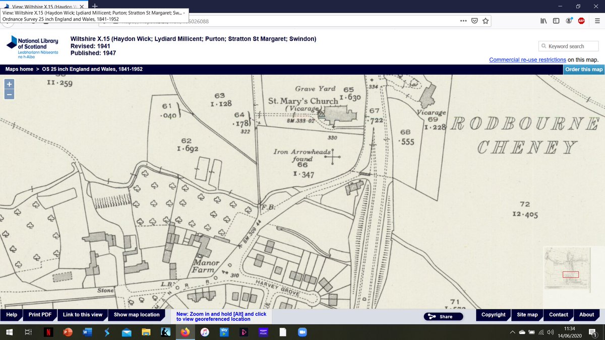
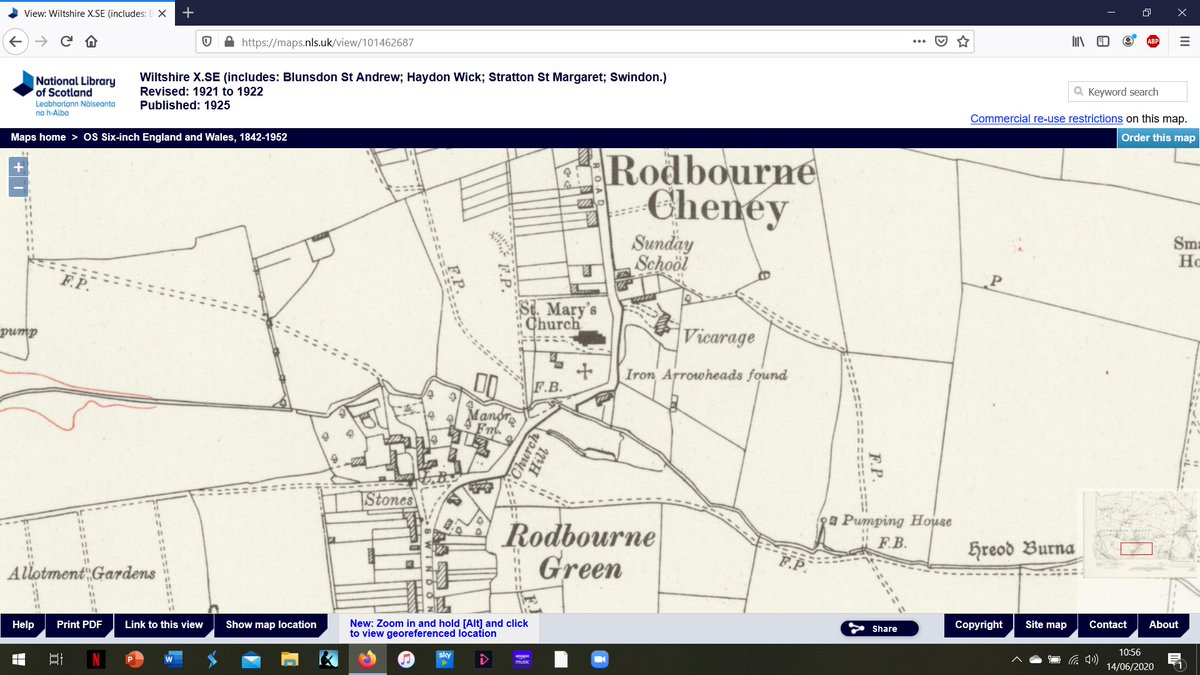
However, the northern road is the only one with a history pre-dating the mid-20th century. The others are all products of Swindon& #39;s post-railway expansion. This screenshot is from the National Library of Scotland& #39;s online collection of Ordnance Survey maps (5/24).
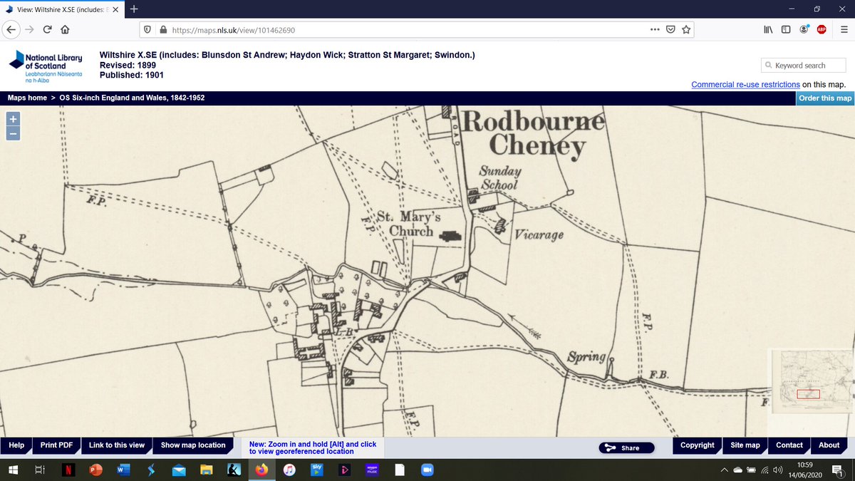
These older maps show the road approaching from the north, then heading SW once past the church before turning south again. Rodbourne Cheney itself was bisected by the E-W valley occupied by a narrow stream, with the church to the north and the Manor House and farm (6/24)
to the south. The Manor, farm etc were by-passed by the creation of Vicarage Rd, meaning that as well as being relatively peaceful, it still possesses things like its (triangular) green, edged with sarsens. Here I must acknowledge @artefactual_KW for the term (7/24)
& #39;civic sarsens& #39; - these (plus some wooden bollards) were placed here quite recently in order to keep cars off the green. Anyway, what about that original southwest turn in the road after the church? It& #39;s still there, but is now a dead end, the road itself lying (8/24)
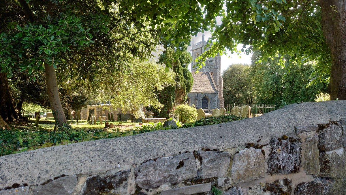
several feet below the level of the modern roundabout. What about the church? St Mary& #39;s is apparently of 13th century origin with the usual later fiddling about, including some major restoration and extension work circa 1848, deemed necessary because of Swindon& #39;s growth (9/24).
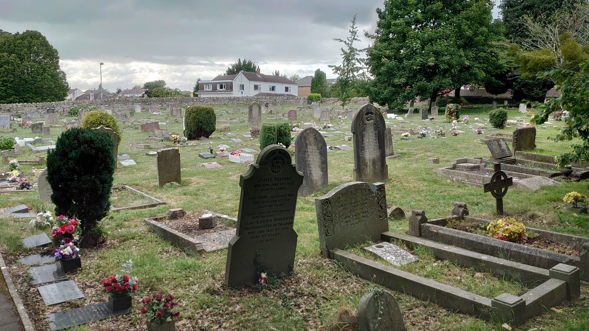
The churchyard is mostly to the north, although I& #39;ve heard no strange tales, with subsequent expansion mainly to the west. Several sources describe it as & #39;well-stocked& #39;. Early maps show a building on its N side prior to 1848. At that time, a vicarage was built on the W (10/24)
side of the road, the building that had stood to the north disappeared, and the graveyard was extended in that direction. Not that it had anywhere else to go. The ground slopes away quite steeply to the south, the church itself standing on, not above, the slope. (11/24)
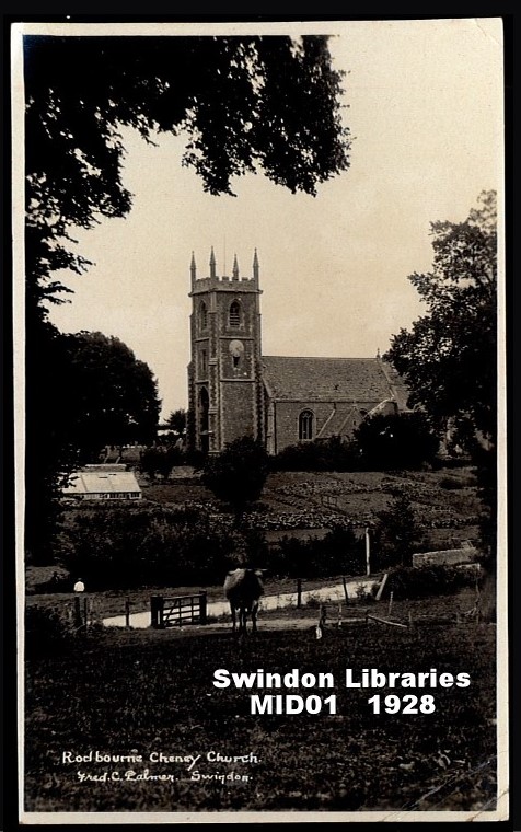
These postcard views, which can be seen on the Swindon local studies library& #39;s flickr site, pre-date the east-west roads and perhaps give a clearer idea of the topography. Both are taken from beside the stream, looking up the valley side. (12/24)
That area immediately south of the church, shown as gardens, has twice been the site of & #39;interesting& #39; finds. In the 1920s (?) the gardener dug up what is described as a quantity of iron arrowheads, said to be 15th century (AD), and a & #39;mass& #39; of & #39;Norman& #39; pottery. Then, in (13/24)
April 1936, local archaeologist A.D. Passmore found a coin of Licinius, emperor c308-324 AD, some Roman potsherds and a piece of hypocaust box tile, prompting speculation about a possible villa somewhere in the area. These things were probably found during (14/24)
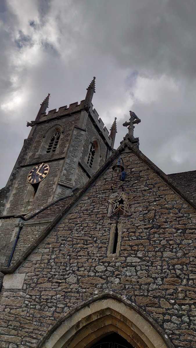
construction of that E-W road, Akers Way, which cuts through the old garden area. As far as I know, there is no Roman fabric in the church, but there are a couple of chunks of pre-Conquest stonework visible. The W-facing wall of the N nave features part of a cross-shaft (15/24)
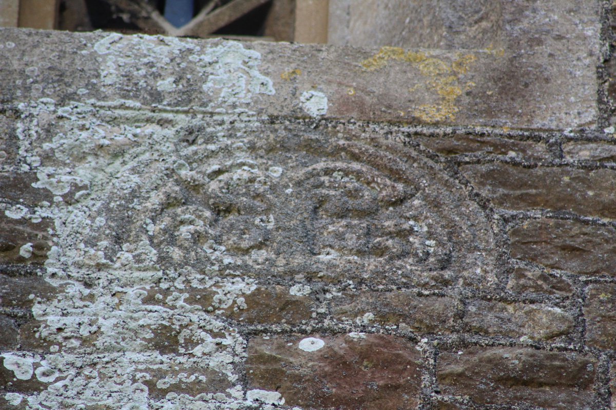
while high up on the N side of the tower is either part of the head of a wheel-type cross, or part of a window-head. Not my area, so... The idea that they both represent fragments of a cross was the inspiration for one of the memorials on the S side, dating (16/24)
to the late 1960s, bearing the name of a former vicar of St. Mary& #39;s. But where did those fragments come from?
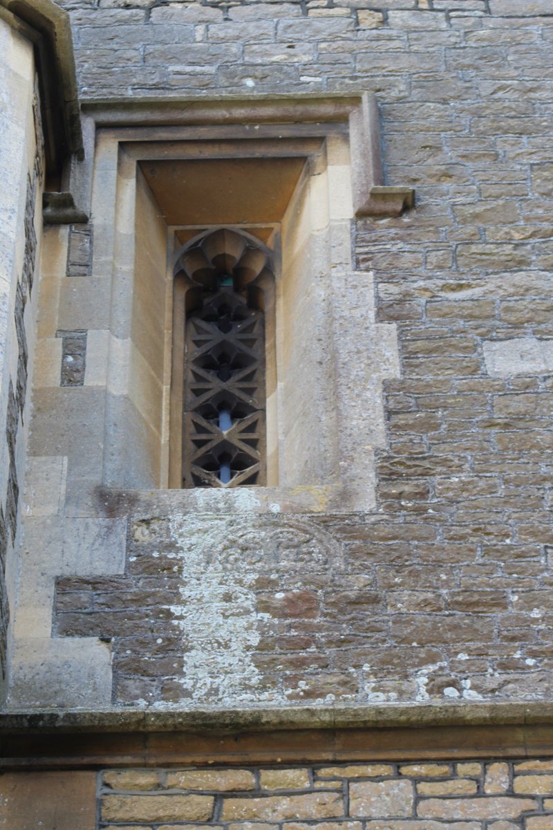
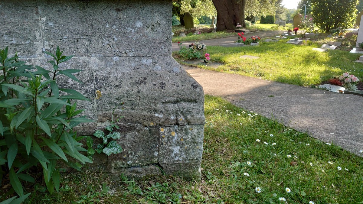
One more feature to highlight here - a carving that ties the church in to the production of those older Ordnance Survey maps. It can be found low down on the (17/24)
One more feature to highlight here - a carving that ties the church in to the production of those older Ordnance Survey maps. It can be found low down on the (17/24)
north side of the tower. An Ordnance Survey benchmark - a cut mark - its location is marked on those older maps. When last verified, in 1966, its top line was 101.471 metres above sea level.
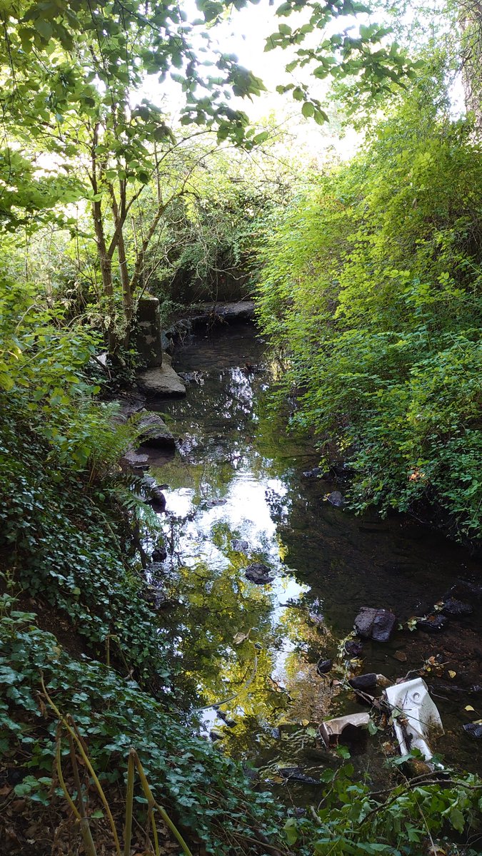
Anyway, moving quickly to the valley and the stream that run past to the S. (18/24)
Anyway, moving quickly to the valley and the stream that run past to the S. (18/24)
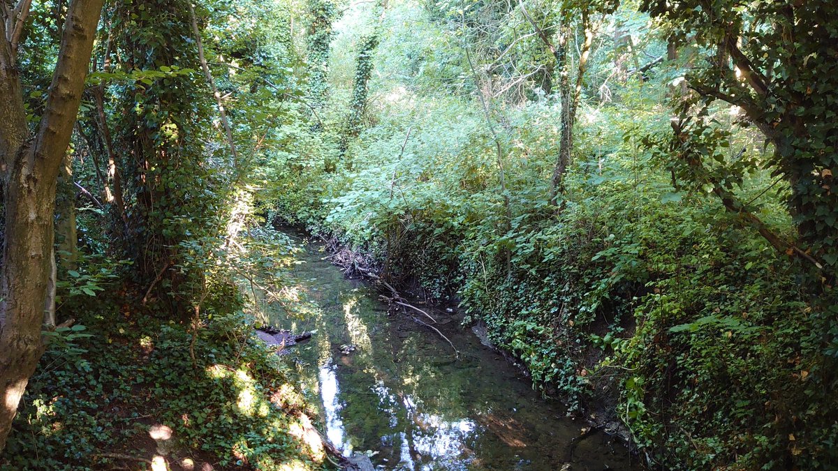
This is named & #39;hreod burna& #39; on Ordnance Survey maps. Or, rather, that& #39;s the name that appeared on maps for a while from the 1920s. It doesn& #39;t any more. Obviously, & #39;Rodbourne& #39; and & #39;hreod burna& #39; have the same origin, but what are the chances of the stream name surviving (19/24)
unchanged but not the village name? The main lesson I learnt from Margaret Gelling& #39;s place-name course as an undergraduate at Birmingham way back in the 80s was to be wary of them. This bears all the hallmarks of a growing interest in early names in the inter-war (20/24)
years as well as the practices of the Ordnance Survey& #39;s then-new Archaeology Division, and its efforts to map all kinds of & #39;antiquities& #39;. & #39;Hreod& #39; has however taken root as a modern place-name in the area, though nowhere near as common as & #39;Brunel& #39; or & #39;Great Western...& #39;. (21/24)
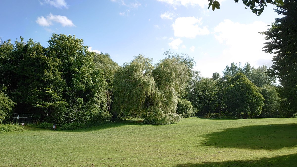
& #39;Hreod burna& #39; basically means a watercourse plus reeds. Its valley is probably the source of those sarsens. Today, the lower slopes on either side are generally occupied by open grassland of varying steepness, while the & #39;burna& #39; itself is often concealed within a narrow (22/24)
but dense belt of very tall trees. Not far west, it meets the River Ray on its journey to join the Thames at Lechlade.
So, the sarsens at the roundabout are unlikely to represent a lost megalithic thingy, and probably haven& #39;t come far, although it would be nice to know (23/24)
So, the sarsens at the roundabout are unlikely to represent a lost megalithic thingy, and probably haven& #39;t come far, although it would be nice to know (23/24)

 Read on Twitter