I was looking at Georgia counties to put together a heat map and noticed Google Maps chooses some interesting photos to be the main representation of each county.
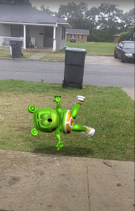
Exhibit 1: Ben Hill County, GA
1/x
Exhibit 1: Ben Hill County, GA
1/x
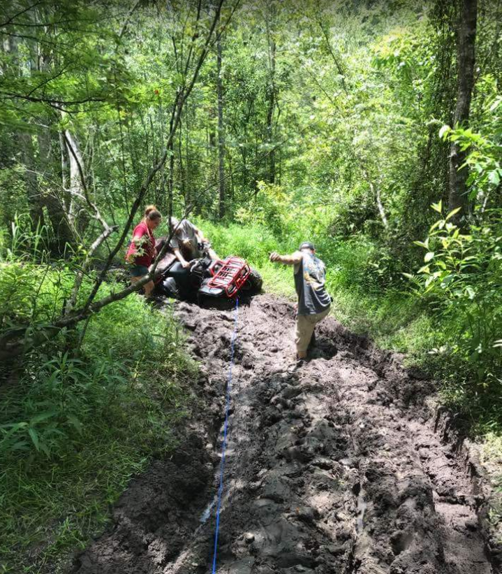
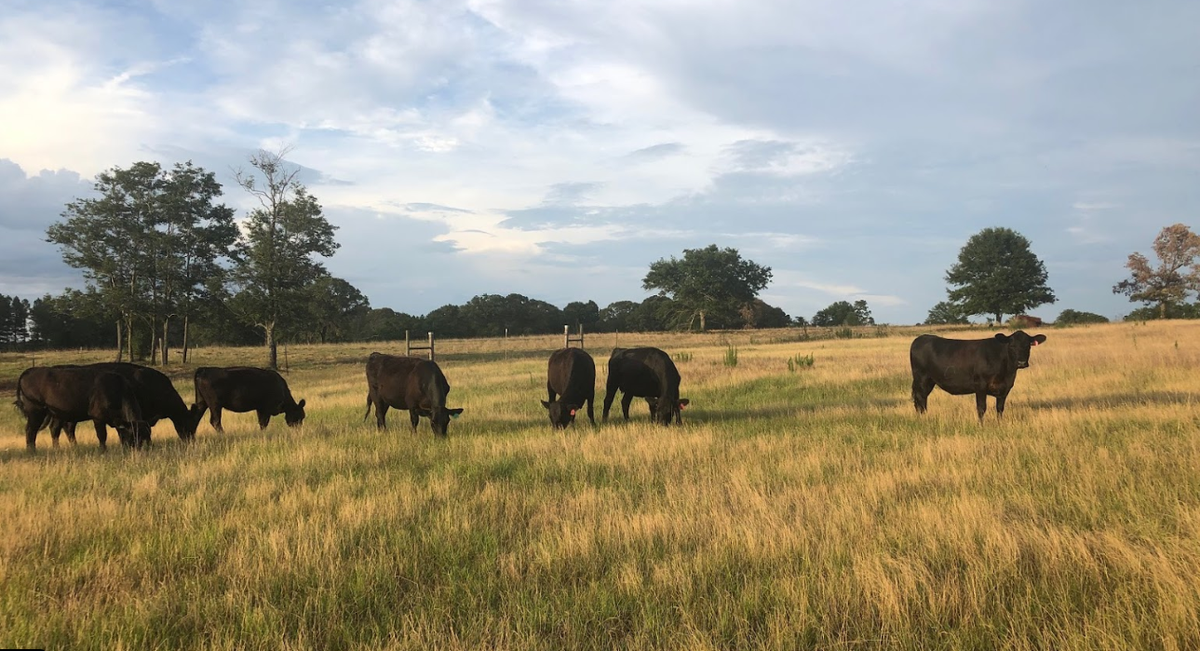
The main photo for Berrien County is actually a nursing cow. But literally every other picture is of Possum Creek Off-road Park. May be worth a trip 1 day.
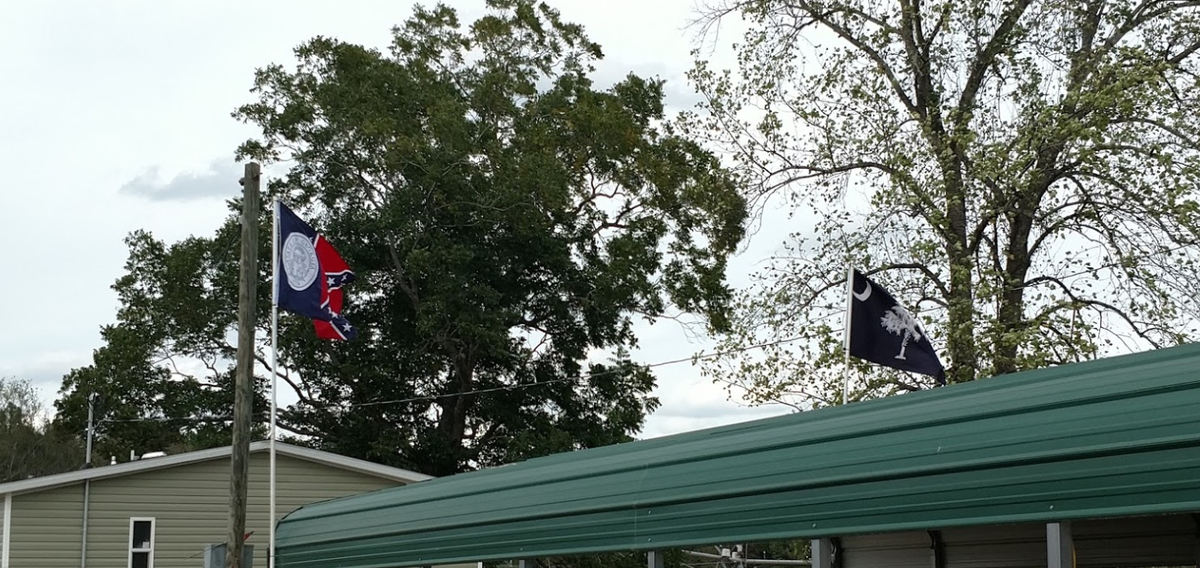
Burke County is represented here by 2 state flags, neither of which are the current state flag for it& #39;s own state.
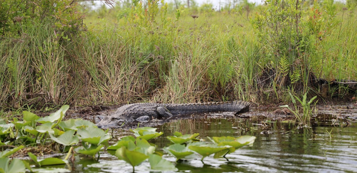
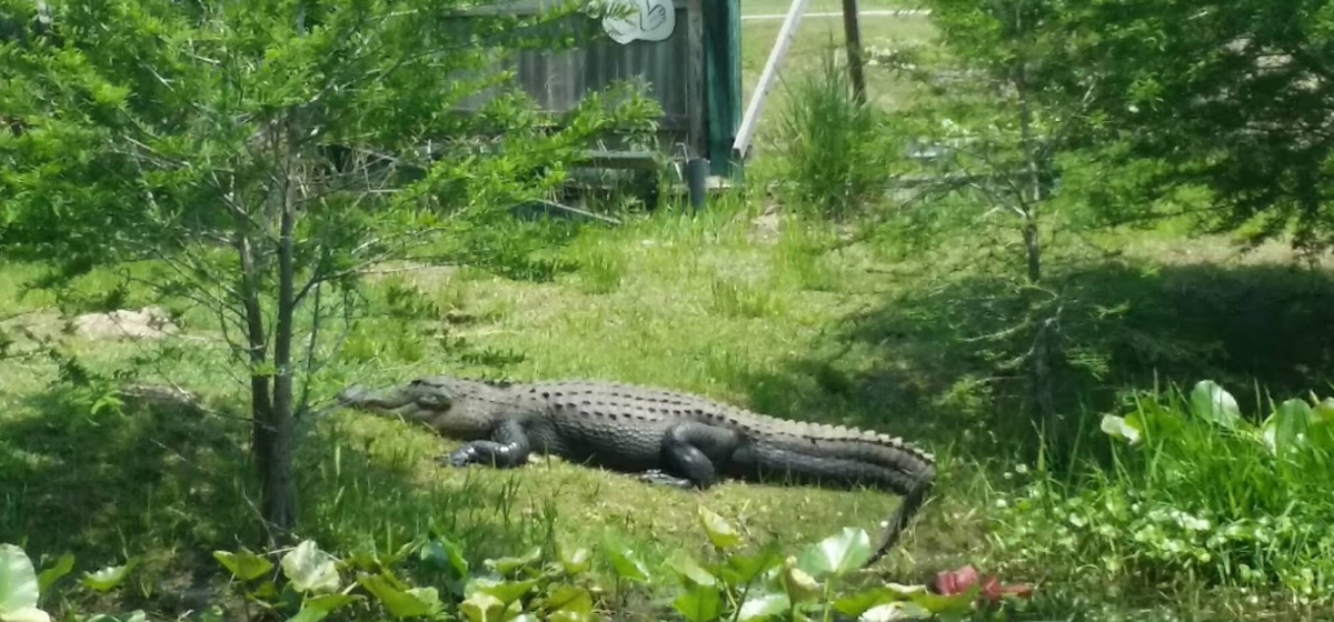
I get the feeling Charlton County isn& #39;t the most welcoming place. But it& #39;s not to be outdone by Ware County, who I& #39;m pretty sure photoshopped this flying alligator.
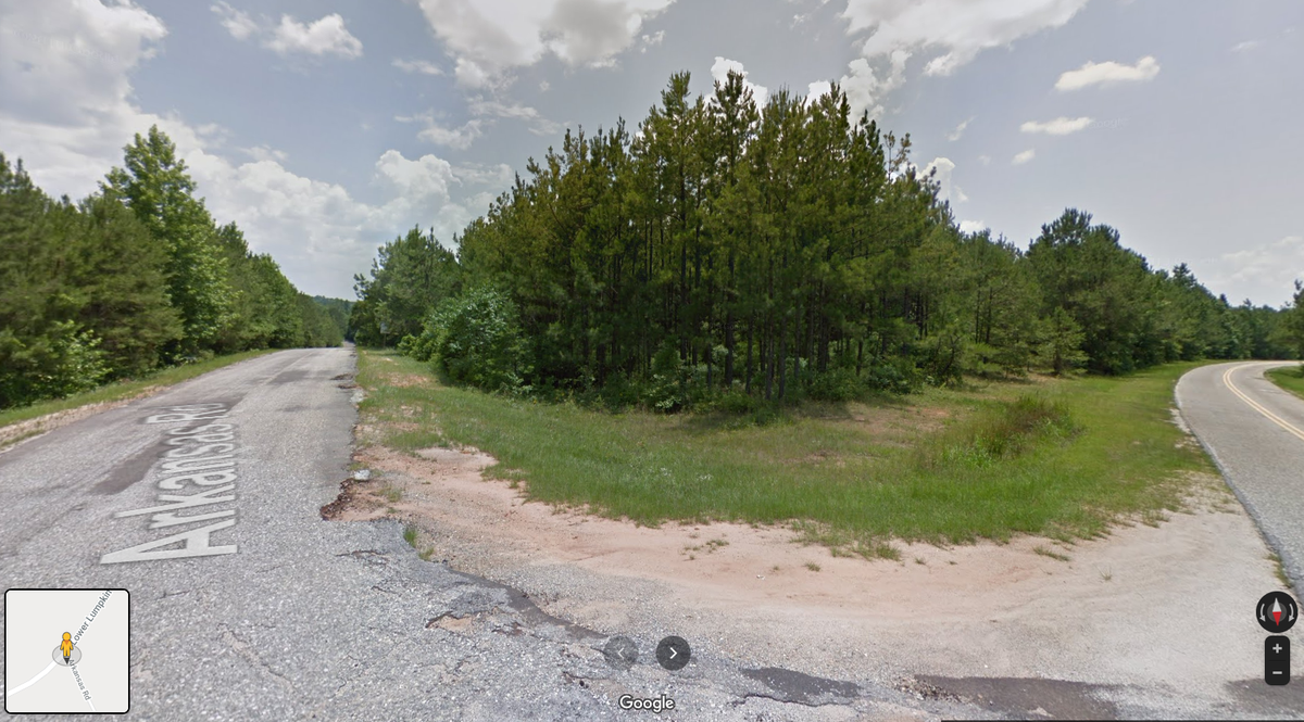
Grady County.
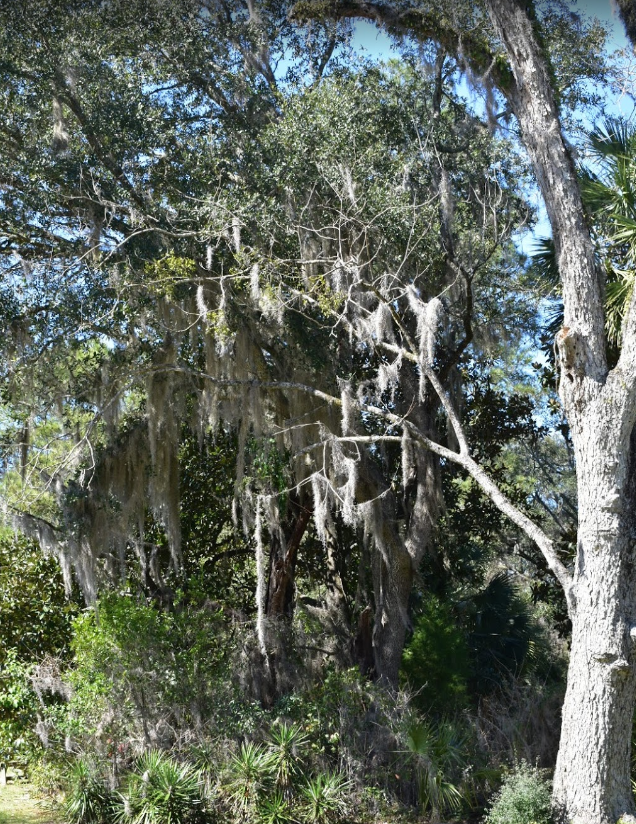
This tree is a landmark because it& #39;s the only shade that exists in the entire county.
This tree is a landmark because it& #39;s the only shade that exists in the entire county.
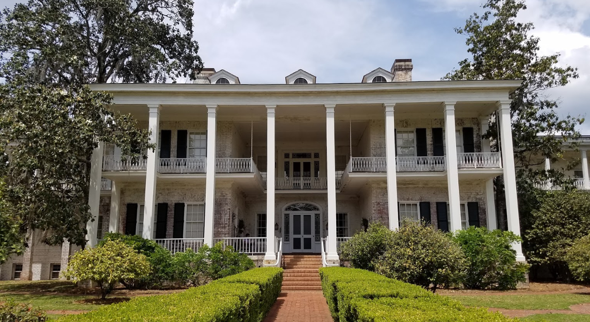
Thomas County.
Represented by Pebble Hill Plantation and Museum, a great place to go reminisce on simpler times where we didn& #39;t actually have to work for our money.
Represented by Pebble Hill Plantation and Museum, a great place to go reminisce on simpler times where we didn& #39;t actually have to work for our money.
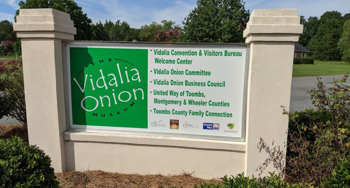
Toombs County.
Worth noting only because if you haven& #39;t ever had a vidalia onion, you need to change that immediately.
Worth noting only because if you haven& #39;t ever had a vidalia onion, you need to change that immediately.

 Read on Twitter