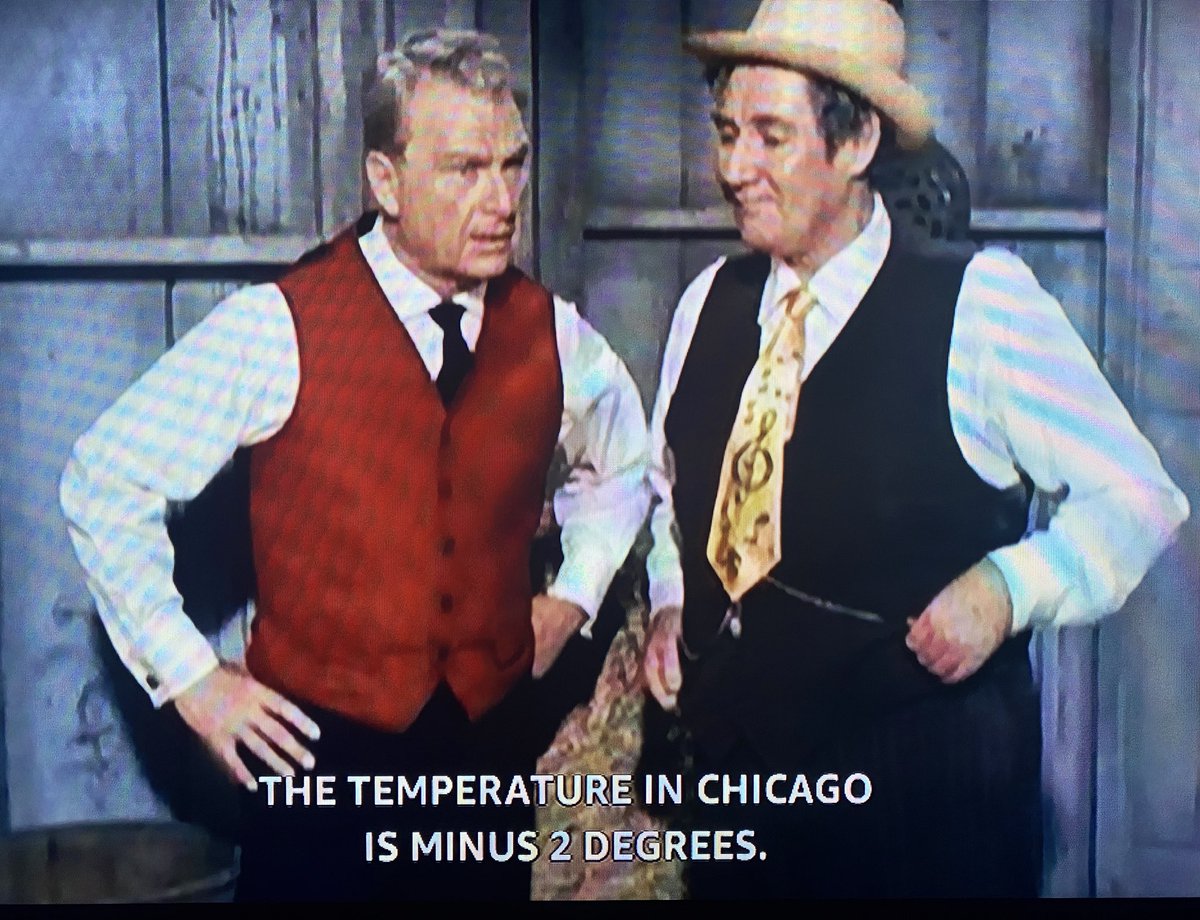
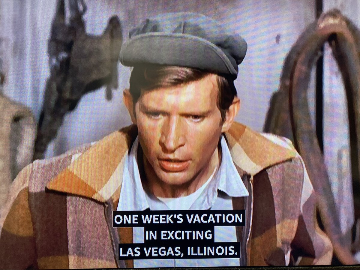
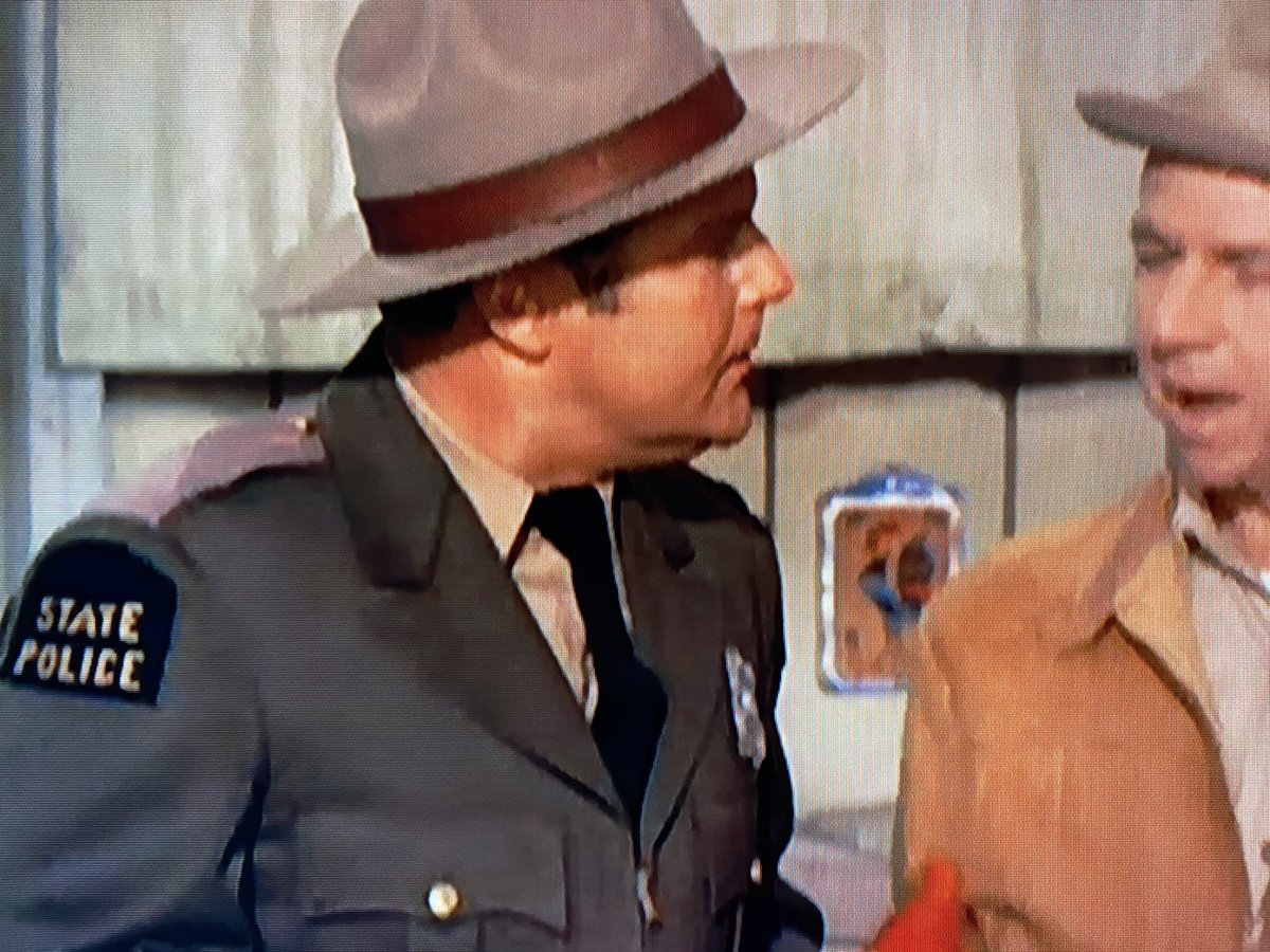
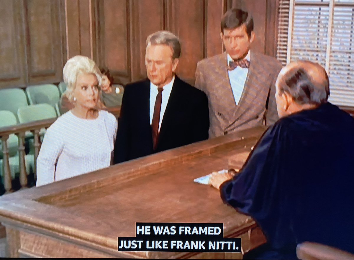
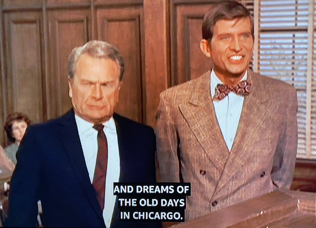
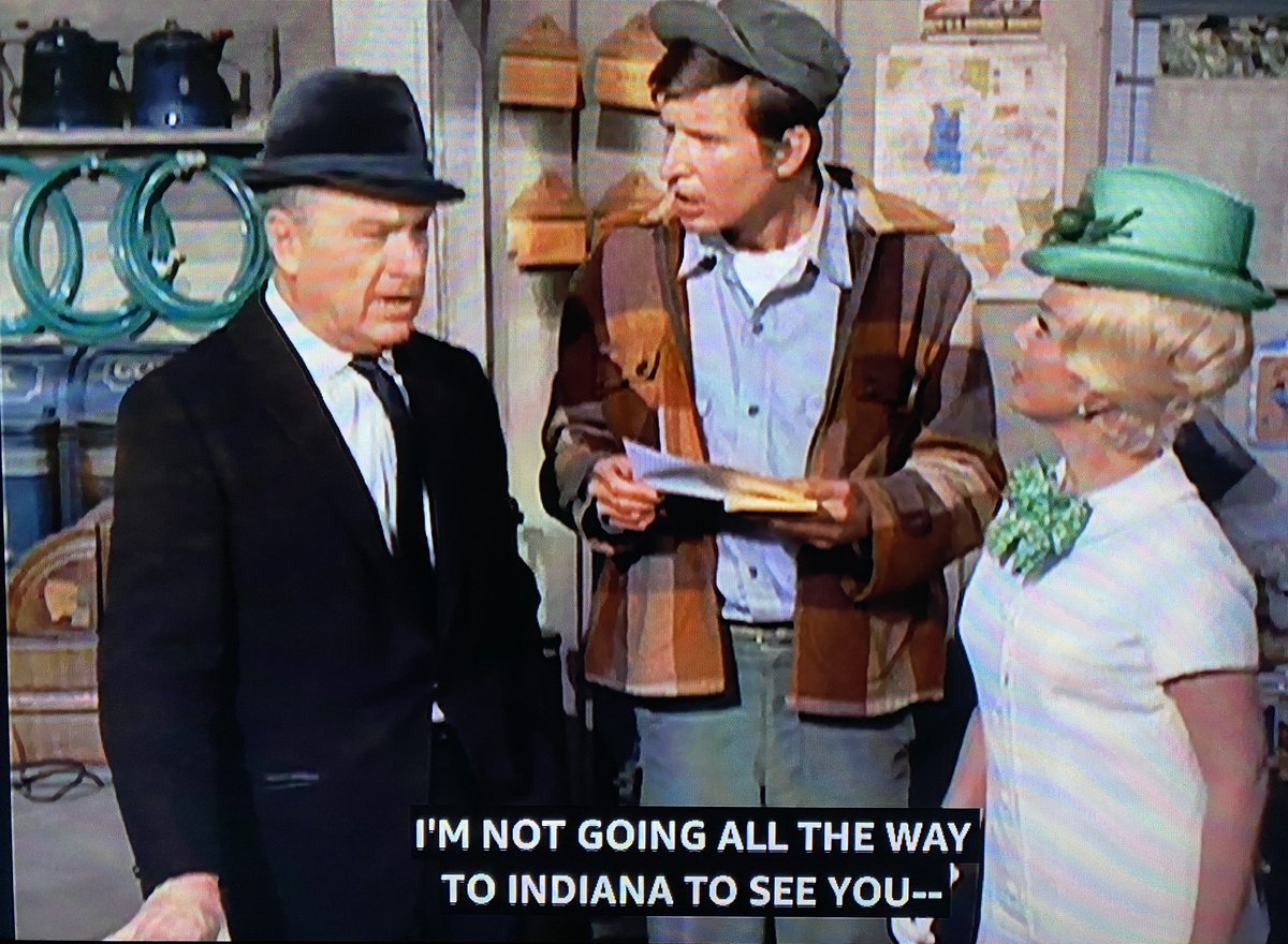
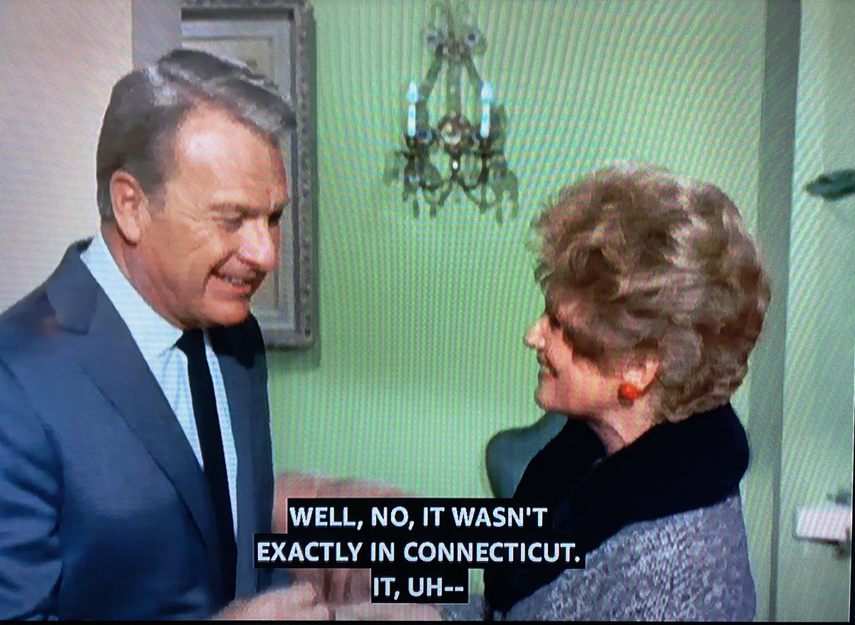
Where is Hooterville, anyway? Mr. Haney complains about Mr. Douglas wearing fancy suits when he’s farming. “The tourists stop by, they see him, and they think they’re still in the outskirts of Chicago.”
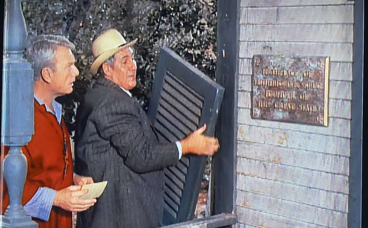
Another clue: The state where Hooterville is located used to be known as Skrug. At least, that’s how Mr. Haney tells the history.
Wherever Hooterville is, it had a heat wave at Christmastime — with a temperature of 81 — when it was way colder in Chicago and New York.
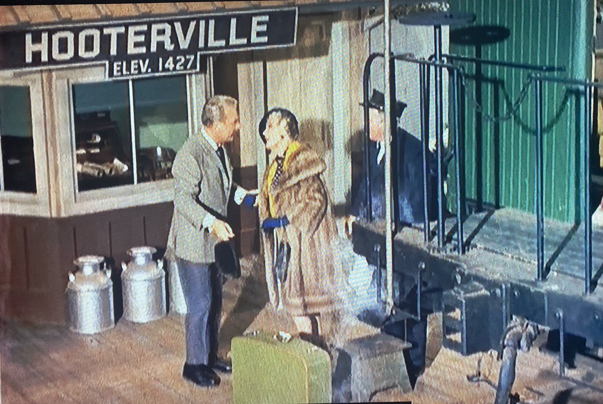
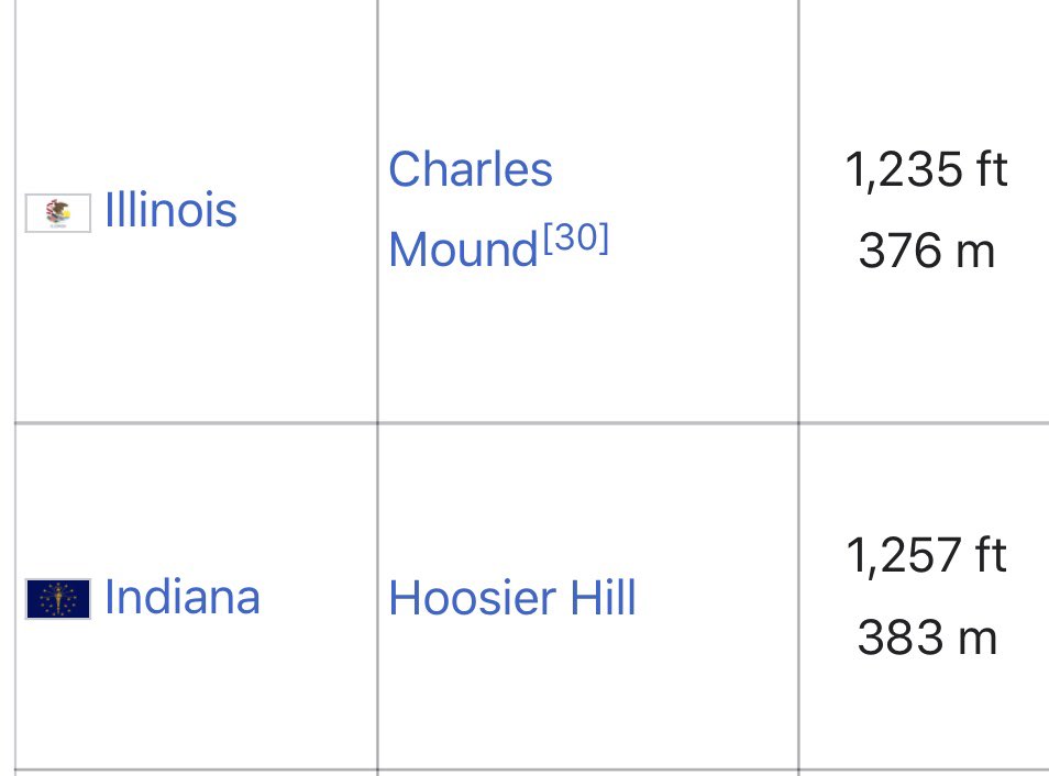
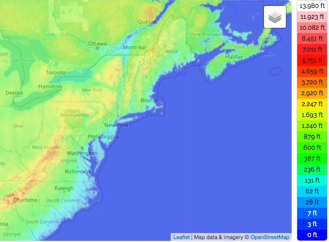
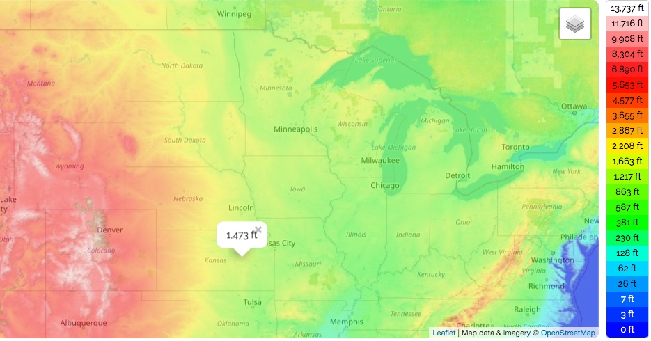
More clues about the location of Hooterville: It’s 1,427 feet above sea level. That’s higher than anywhere in Illinois or Indiana.
“The exact location of Hooterville is never mentioned on Petticoat Junction or Green Acres. Indeed, clues given to the location of Hooterville often conflict with each other, but nearby mentions of towns and counties place it in Southwest Missouri.” https://en.m.wikipedia.org/wiki/Petticoat_Junction">https://en.m.wikipedia.org/wiki/Pett...
When it’s 10 a.m. in Hooterville, it’s lunchtime at the Department of Agriculture offices in Washington, D.C., Mr. Kimball says.
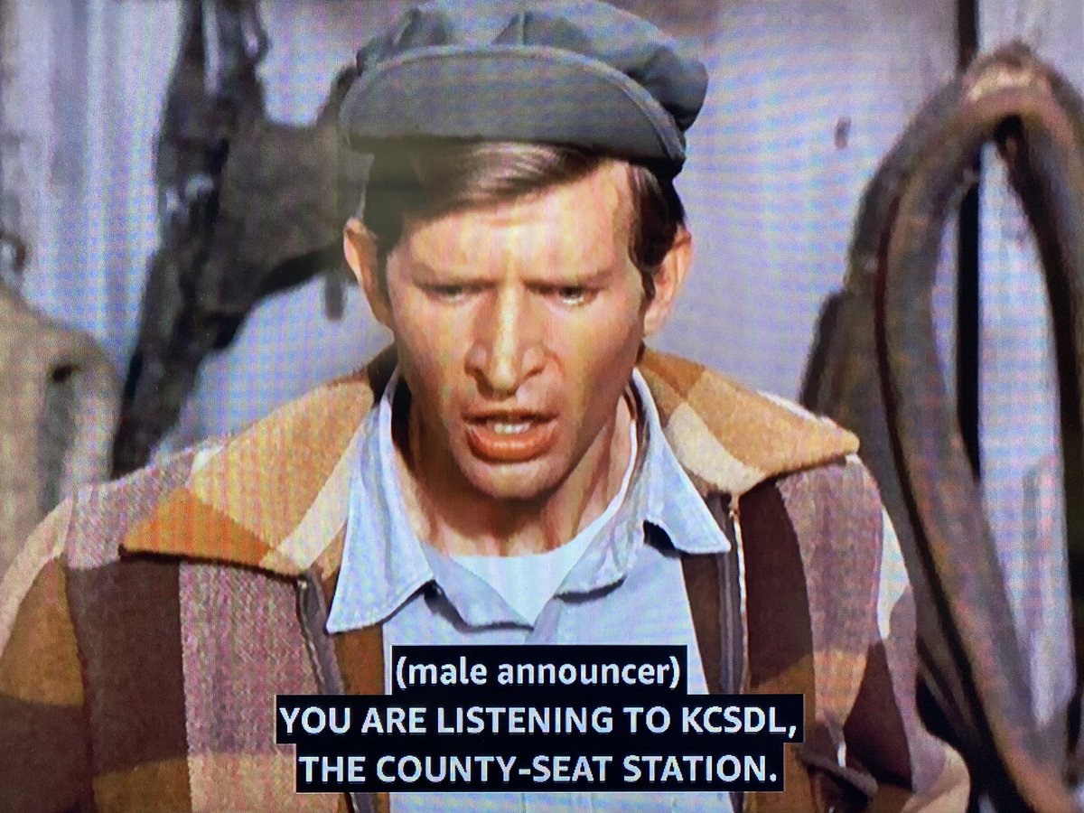
The call letters of the radio/TV station near Hooterville are WPIXL. The “W” suggests that it’s east of the Mississippi River.
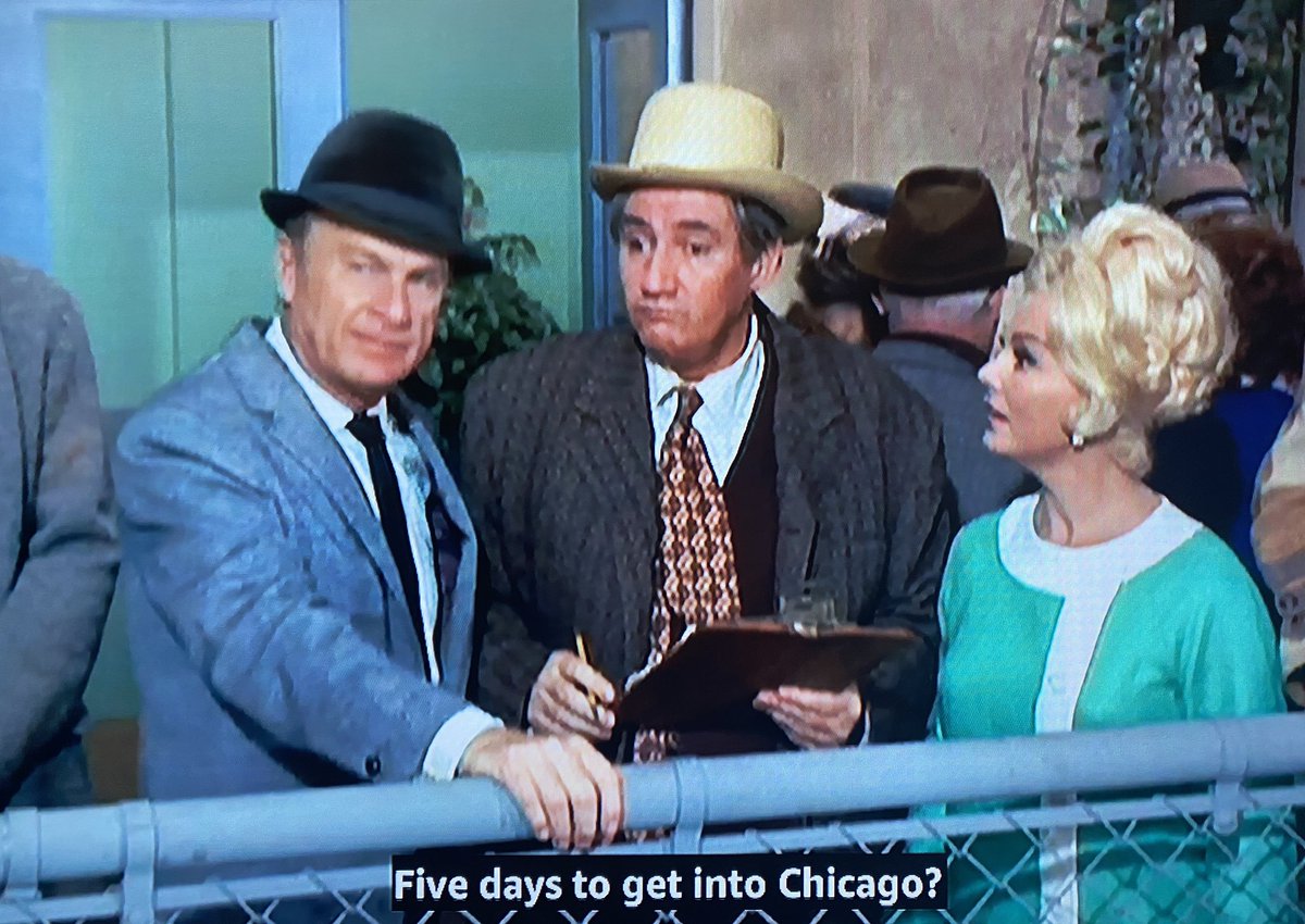
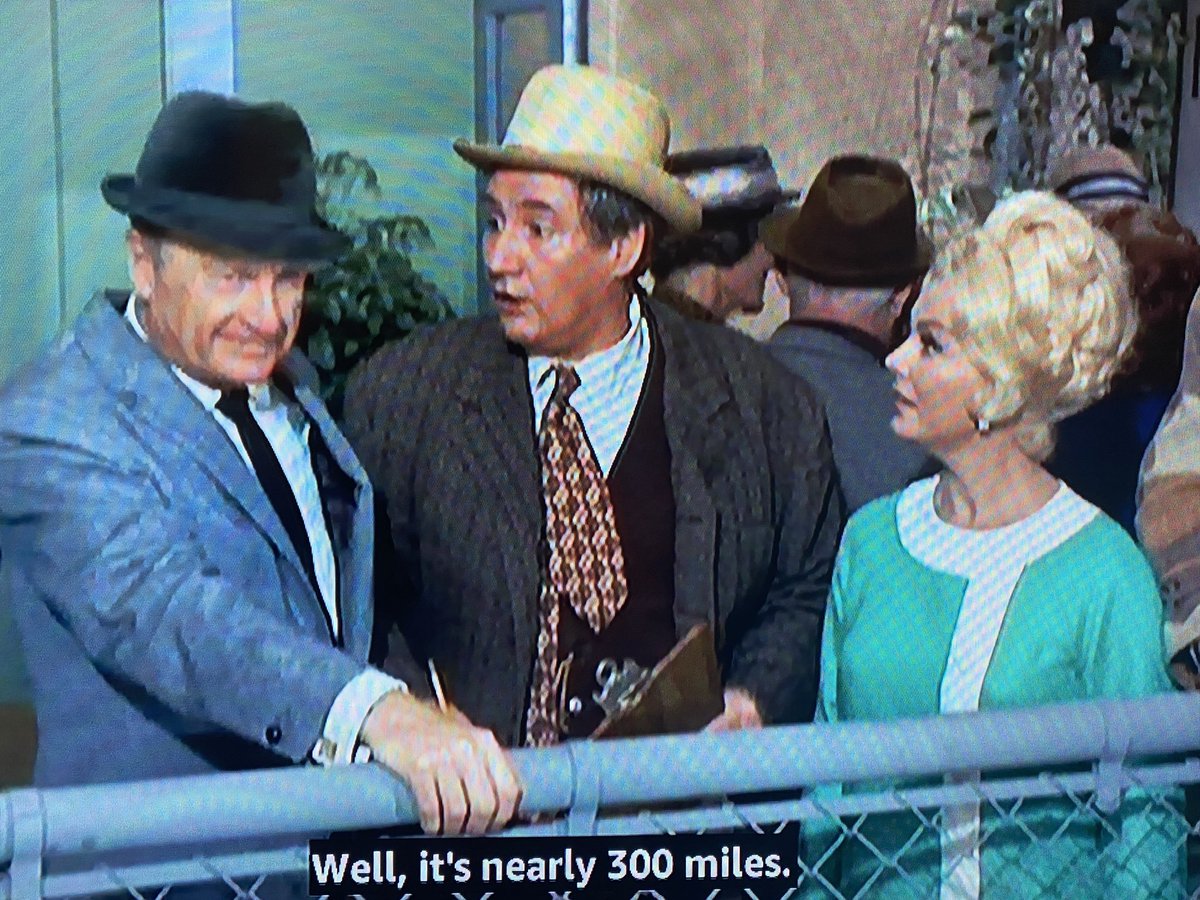
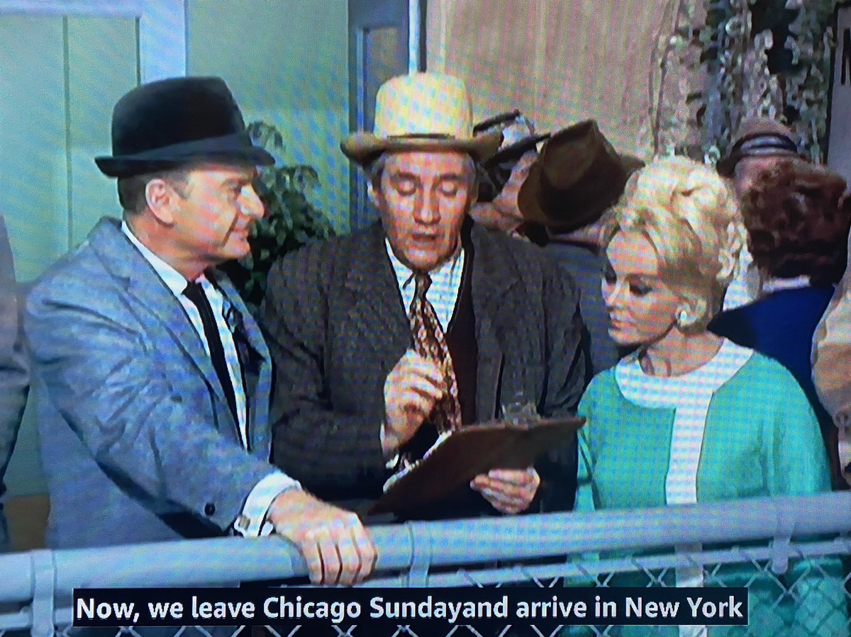
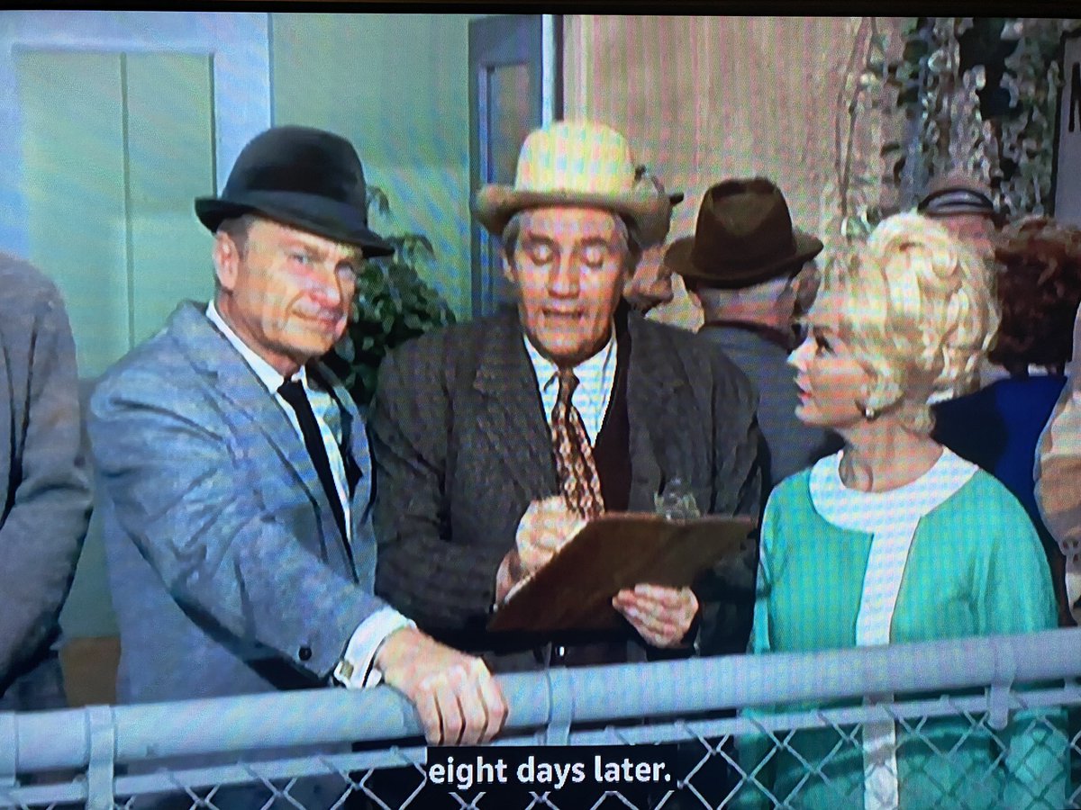
Important information! When Mr. Haney proposes a flight from the Pixley Airport near Hooterville to Paris on an old and very slow airplane, he says it’s “nearly 300 miles” to Chicago — which is on the way to New York.
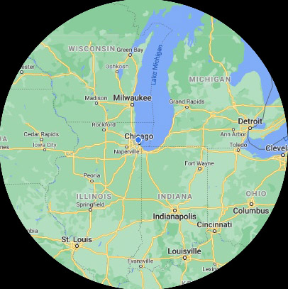
So if Hooterville and Pixley are nearly 300 miles from Chicago, they should be somewhere roughly along the west side of this circle.

 Read on Twitter
