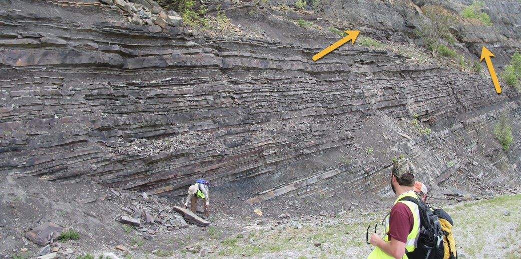
two days ago I shared a photo of an outcrop ( https://twitter.com/clasticdetritus/status/1264301063676493826)">https://twitter.com/clasticde... and then I posted a slightly zoomed-out photo of the same exposure ( https://twitter.com/clasticdetritus/status/1264522377402241024)">https://twitter.com/clasticde... — I posted w/out any context and people replied w/ observations/interpretations — so, now, here& #39;s some context!
this is from an outcrop along the Virginia-Kentucky border known as Pound Gap — for those that want it, here are the lat/long coordinates: -82.6470, 37.1570
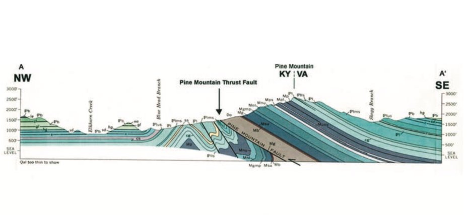
Pound Gap is an absolute jewel of an outcrop in this region — it& #39;s a huge roadcut that intersects the Pine Mountain Thrust Fault, which brings Devonian through Pennsylvanian (upper Carboniferous) sedimentary rocks up to the surface
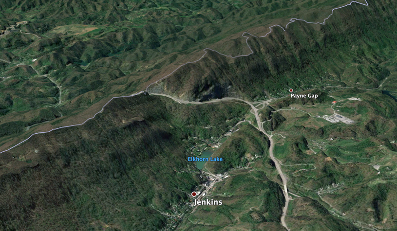
here& #39;s a GoogleEarth view of Pound Gap (looking to the SE)
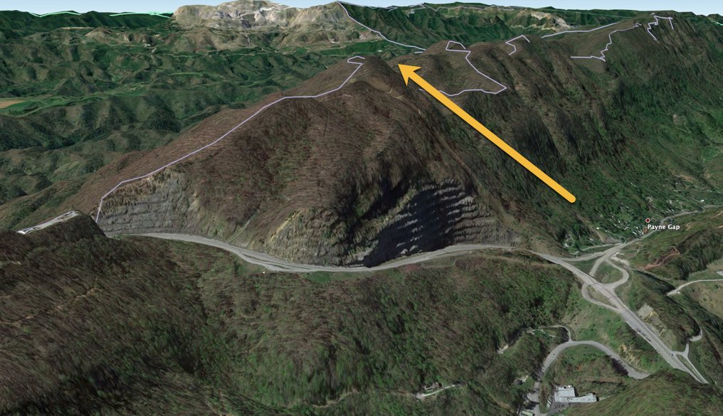
here& #39;s zoomed-in GoogleEarth view, the yellow arrow showing the direction of younging of the strata
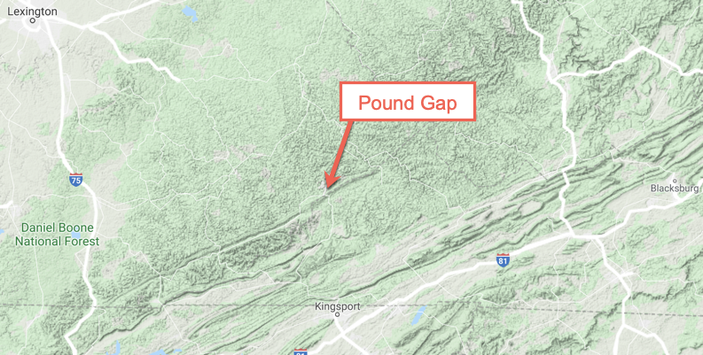
oops, forgot to put this map at the beginning of this thread — note how the Pine Mountain Thrust forms this conspicuous ridge amongst the topographically dissected flat-lying strata
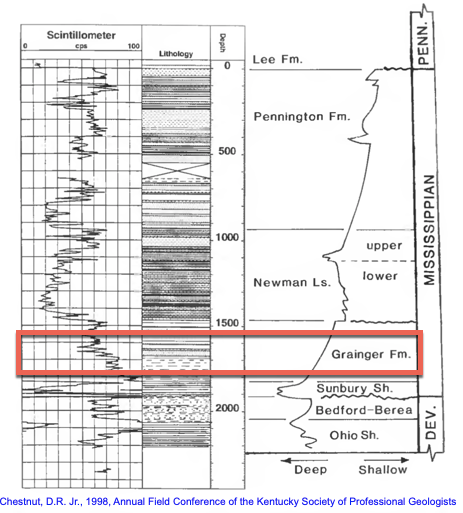
those photos are from the lower part of this epic road cut, in what& #39;s known as the Grainger Formation (doesn& #39;t matter what it& #39;s called, don& #39;t get bogged down in nomenclature) — it& #39;s Mississippian (lower Carboniferous) in age, here& #39;s a strat column summary w/ this unit in context

 Read on Twitter