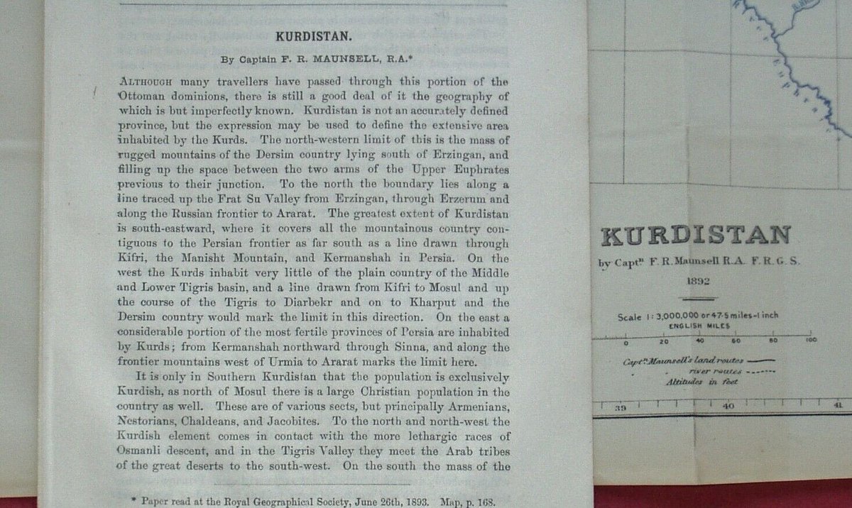
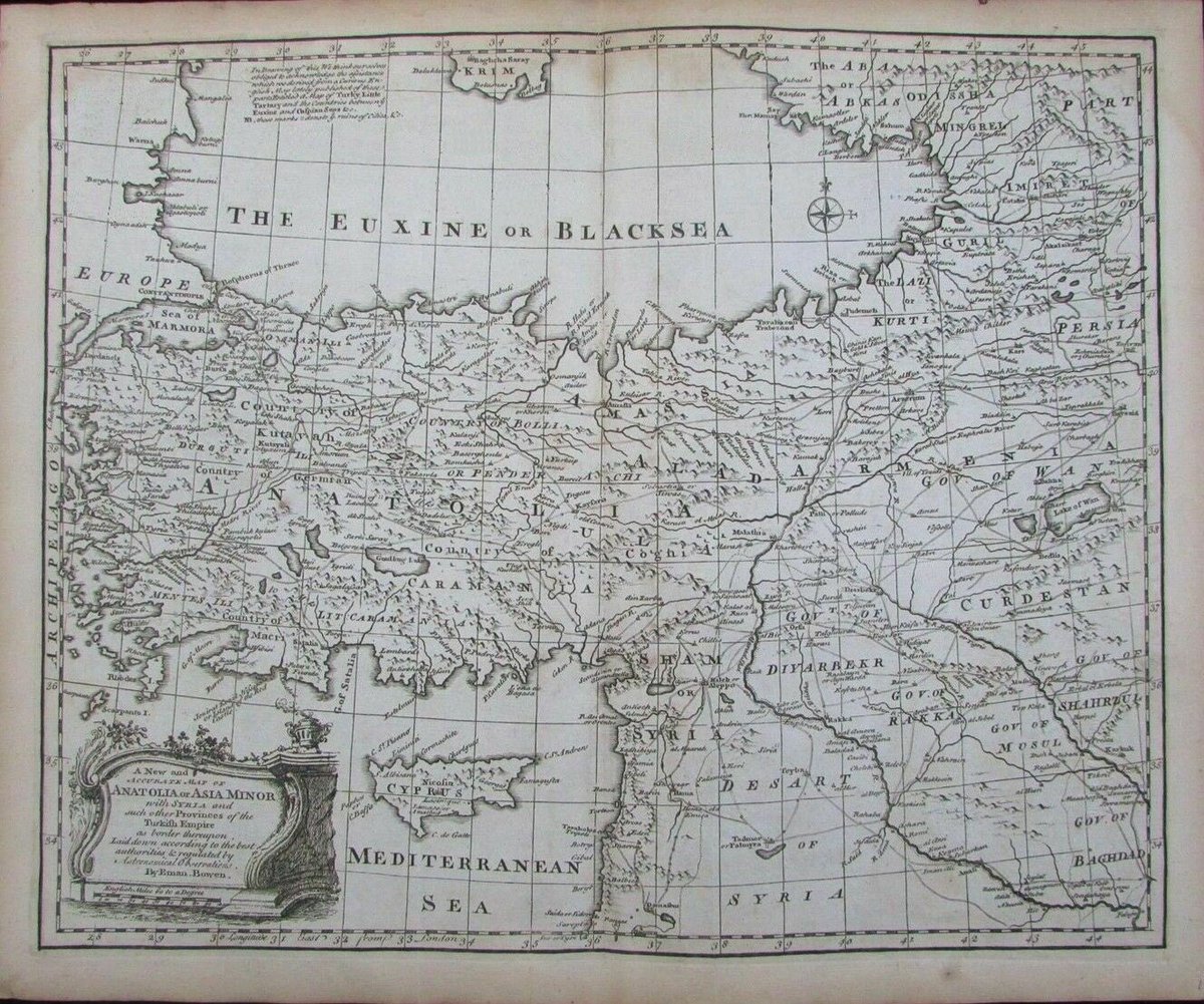
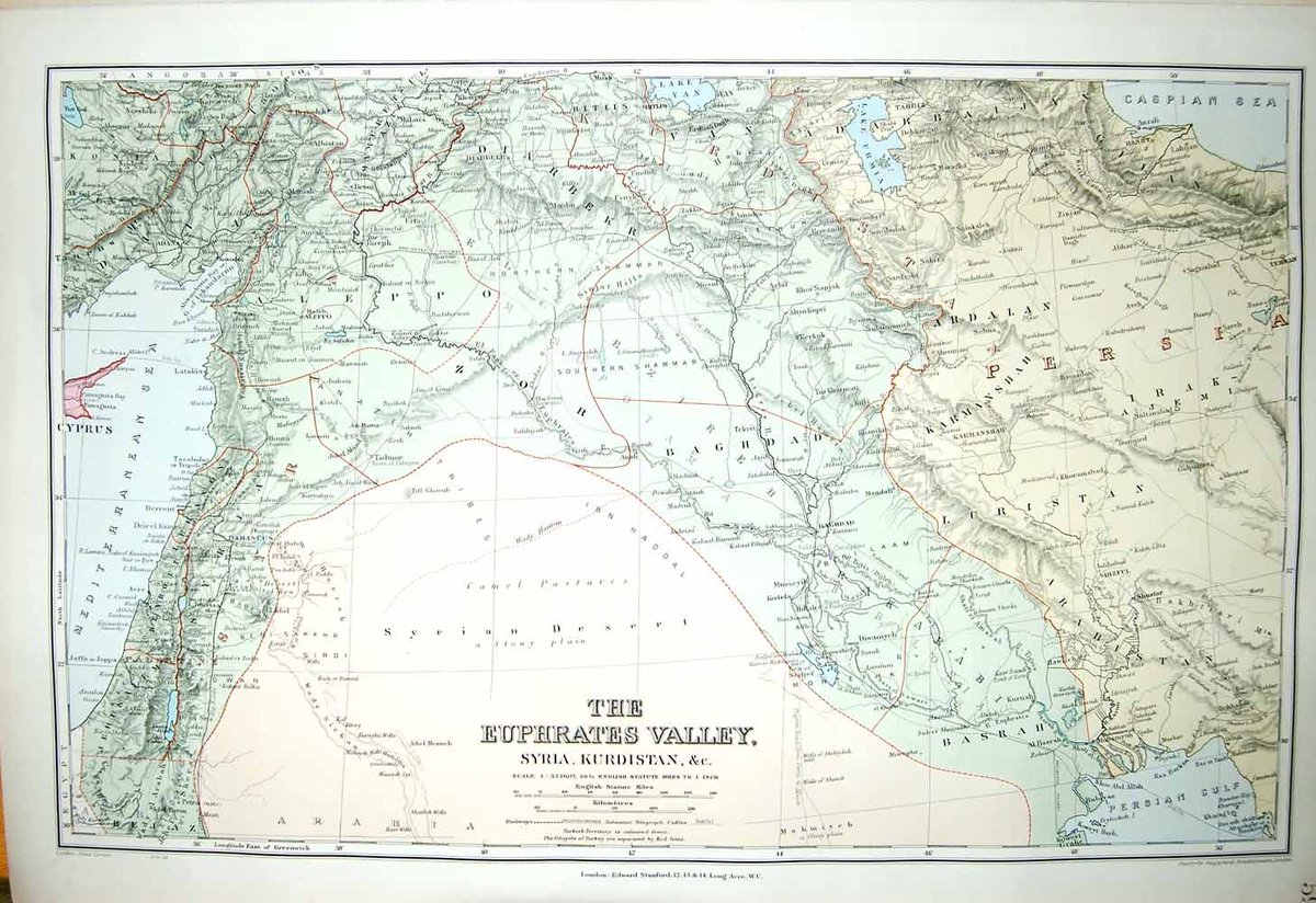
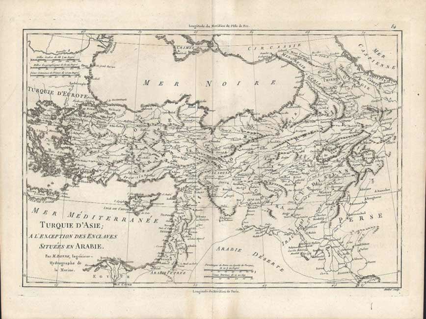
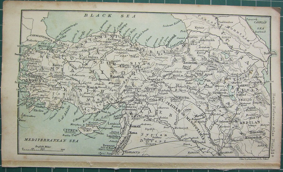
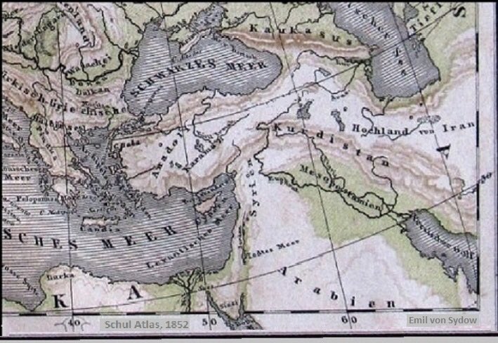
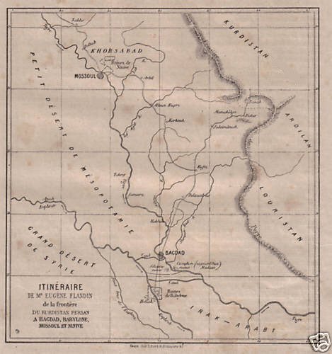
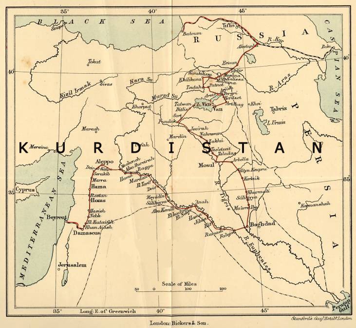
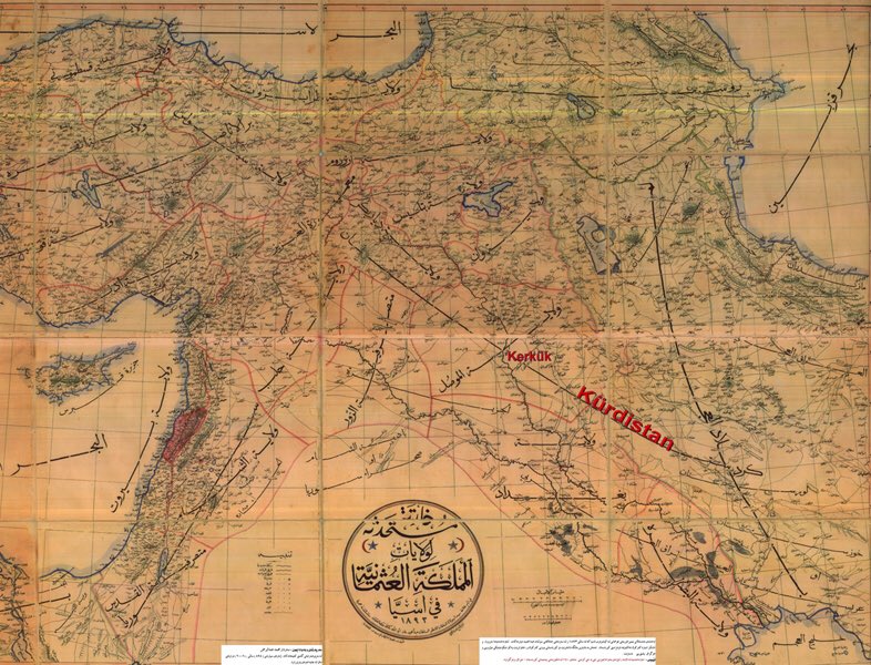
Physical Map of Kurdistan, prepared by Maunsell in 1892. This map has been published in The 1894 issue of The Geographical Journal, which has been actively publishing since 1831.
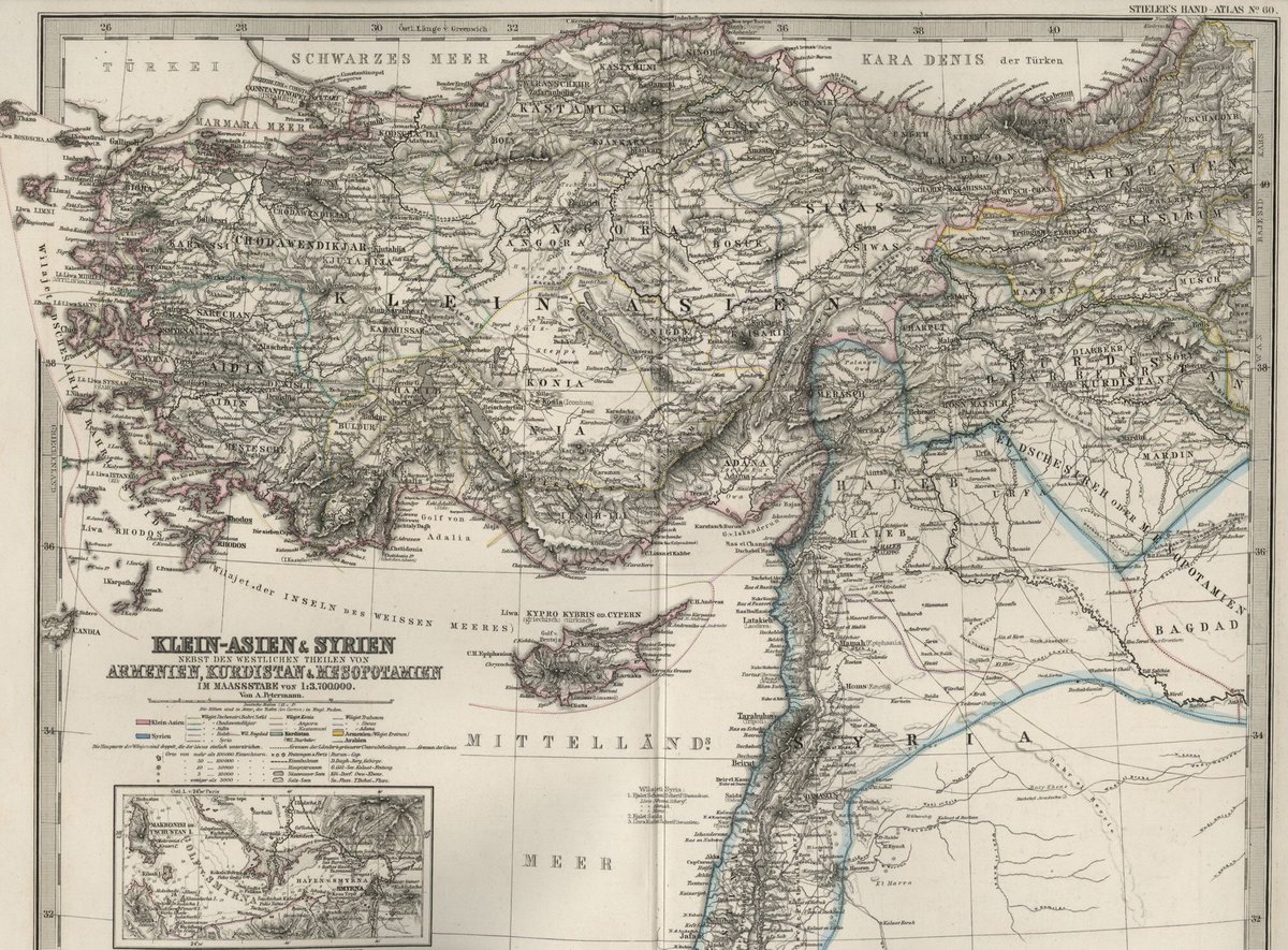
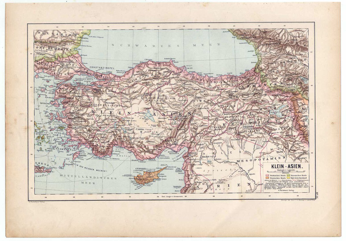
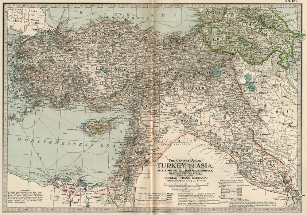
1876 Large, Dated, Hand-Colored KURDISTAN Map & Asia Minor & Syria
including, Armenia; Aidin; Mughla; Konia; Angora; Siwas; Kastamuni; Bagdad; Cyprus and more.
This is a 130+ Year-Old Map--NOT a Reproduction, Most legends and place names are in the GERMAN language.
including, Armenia; Aidin; Mughla; Konia; Angora; Siwas; Kastamuni; Bagdad; Cyprus and more.
This is a 130+ Year-Old Map--NOT a Reproduction, Most legends and place names are in the GERMAN language.
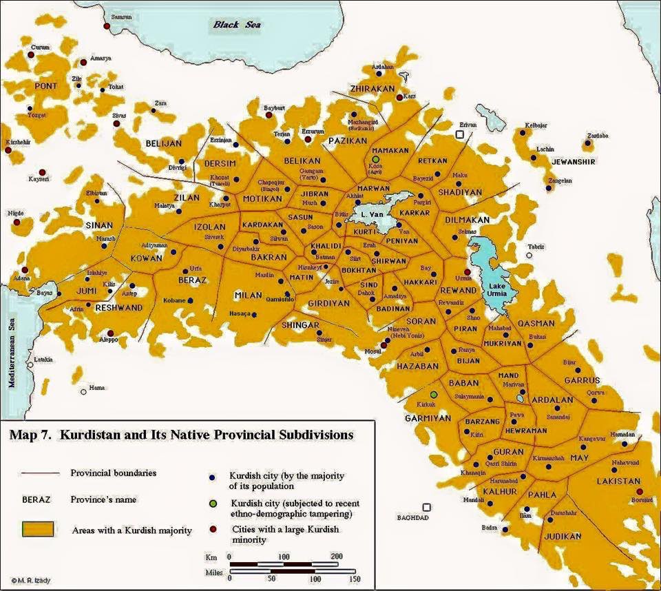
Kurdistan& #39;s Provinces
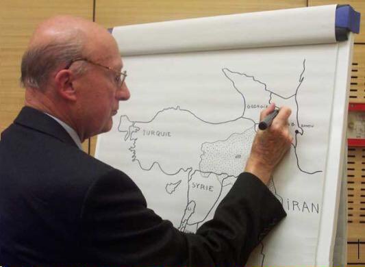
The French diplomat Bernard Dorin drawing Kurdistan& #39;s map

 Read on Twitter
