Great photo of Sears Point, but it reminds me how annoyed I am that we had to design the entire project around protecting a rail line that barely gets any usage. Those farm fields in the lower part of the photo could be restoring wetlands, too!! https://twitter.com/sonomalandtrust/status/1260593298055536640">https://twitter.com/sonomalan...
To be clear, this isn’t the Land Trust’s fault, at all. It’s just one of many examples throughout the Bay Area where low-lying infrastructure- especially early 20th-century railroad ROWs - present a real challenge to SLR adaptation.
These ROWs were generally constructed right along the historic upland edge, just out of reach of the tides, because it was the flattest terrain for construction. Sometimes they were built after the surrounding tidal marshes were reclaimed, sometimes before.
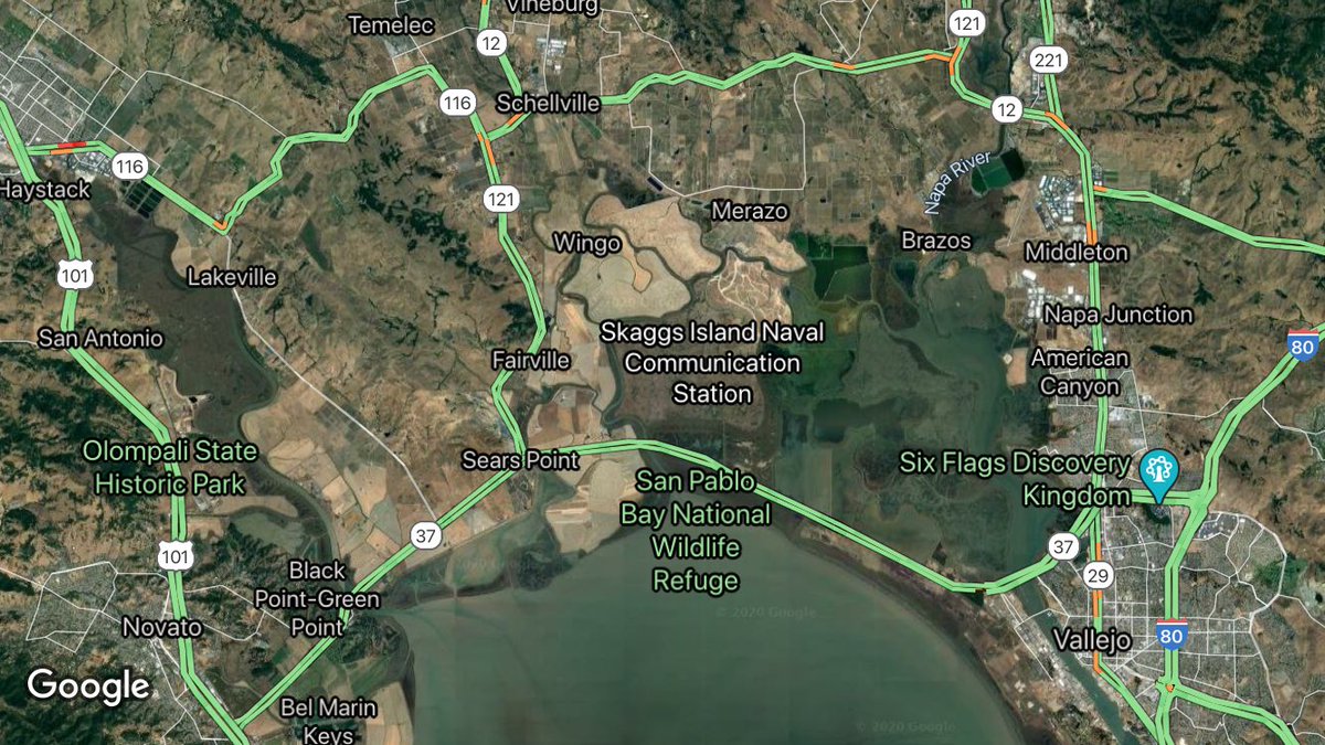
Some - like the RR south of Hwy 37 near Novato - were originally built on pilings, to allow the tides to move back and forth underneath the RR. Later, when these areas were reclaimed, the pilings were buried, turning the RR ROW into a solid embankment.
The location of these RRs makes them highly vulnerable to inundation, not just by rising sea levels, but by storms that result in elevated water levels where creeks enter the Bay. They’ll be temporarily flooded by storms long before they’re permanently flooded by SLR.
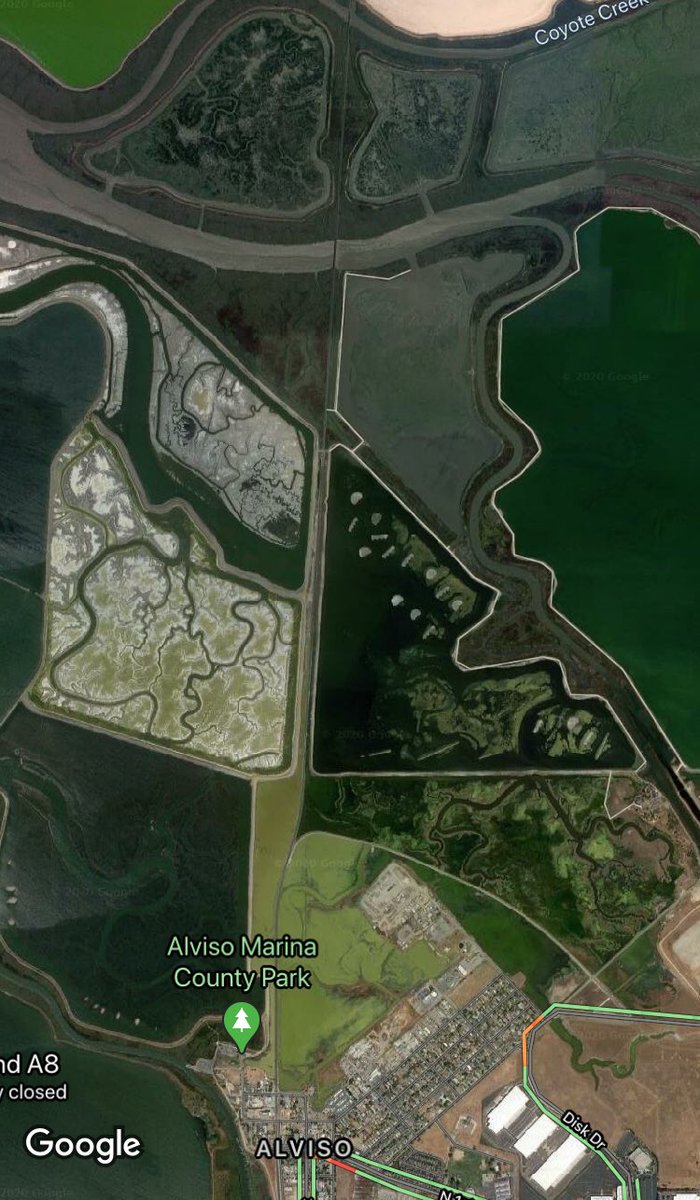
Some of these ROWs - such as this one in the South Bay - carry lots of passengers (Amtrak) and cargo (UPRR). Designing the South Bay Shoreline Project around this line has been... complicated, to say the least.
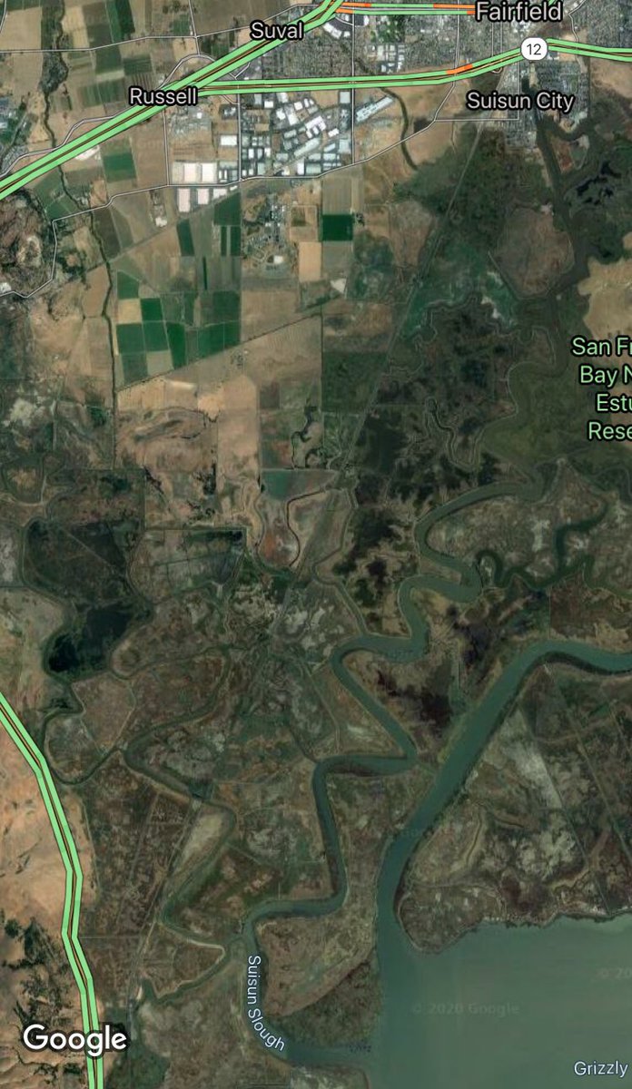
The North Bay RR lines through Novato and Schellville that lead to Napa Junction don’t get a lot of traffic, and run either on old levee tops/buried pilings or right through the estuarine-terrestrial transition zone.
There’s some neat opportunities here to rethink infrastructure in a way that improves both regional transportation and long-term climate change resilience, and illustrates the value of phased adaptation planning. I’m grateful the Land Trust is taking a lead role in this planning!

 Read on Twitter


