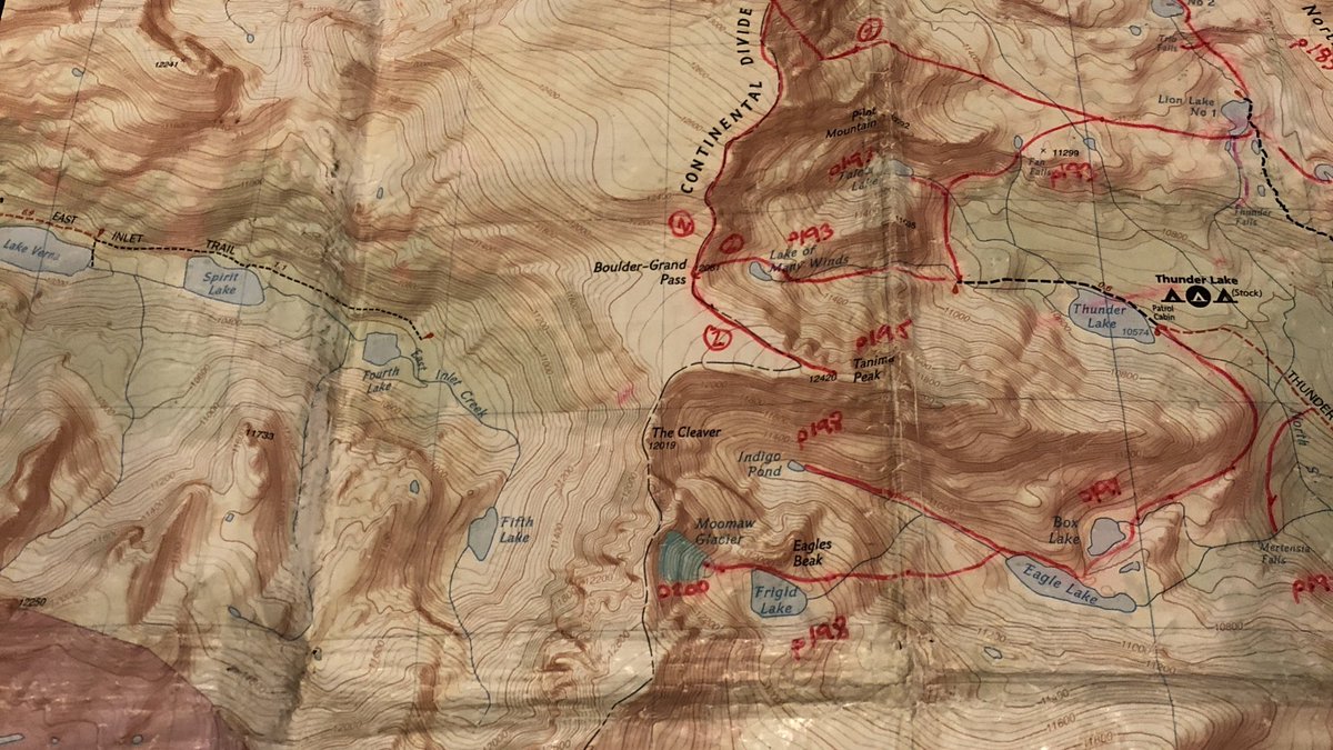
I’ve done lots of miles in Wild Basin (Rocky Mtn NP), yet there are so many more to do. A few years back a drew out the non-technical routes from Lisa Foster’s guide. I have many more miles to go, happily.
Going from Thunder Lake over Boulder-Grand Pass to Fourth lake I bet would be an adventure. Completely doable, but rarely done.
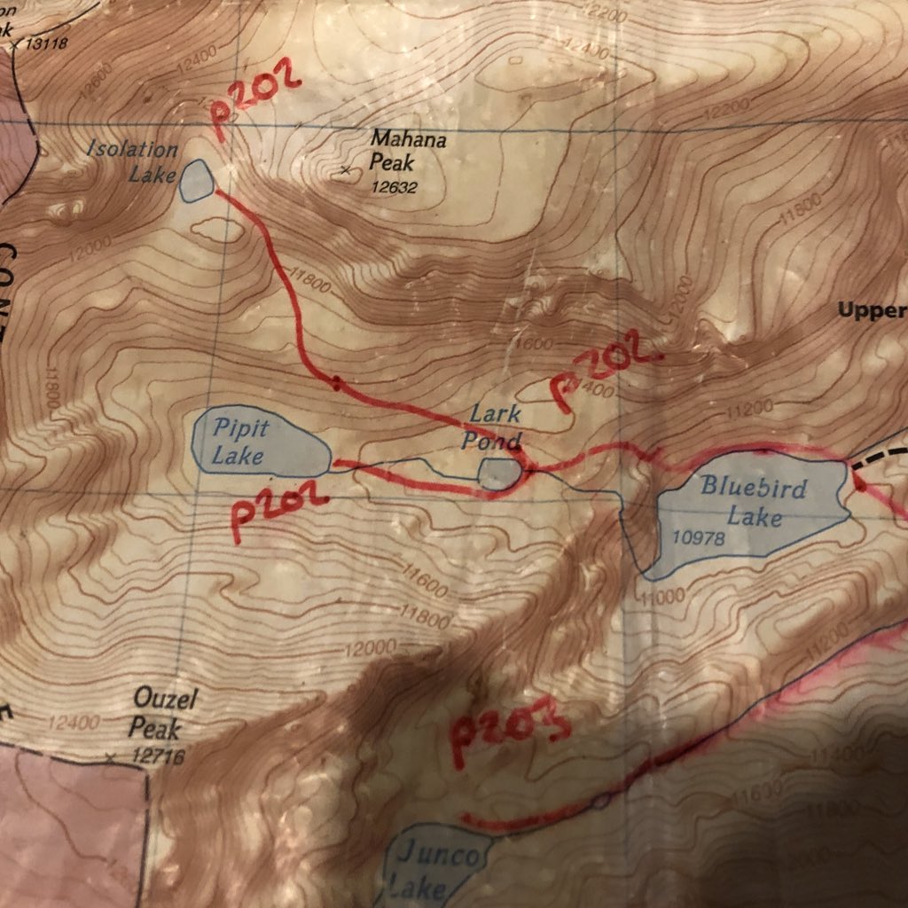
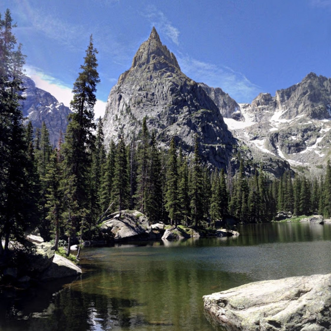
I few years ago I went to Pipit Lake, but stupidity didn’t go to Isolation Lake. So close but so very far from the trail head.
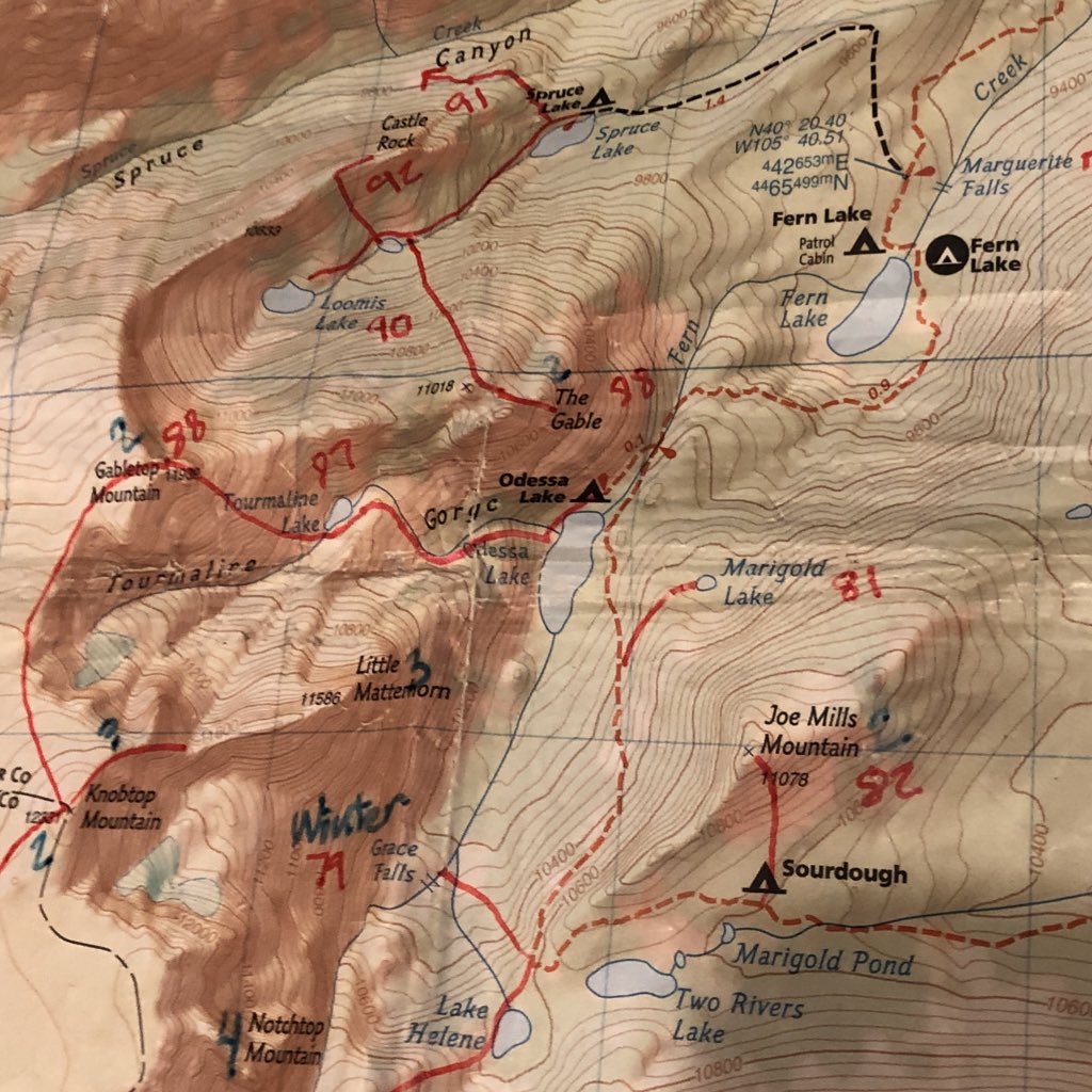
In Lisa Foster’s guide, she describes routes from Fern Creek up to the peaks as class 2+. I’ve looked and not sure, but would love to give it a try.
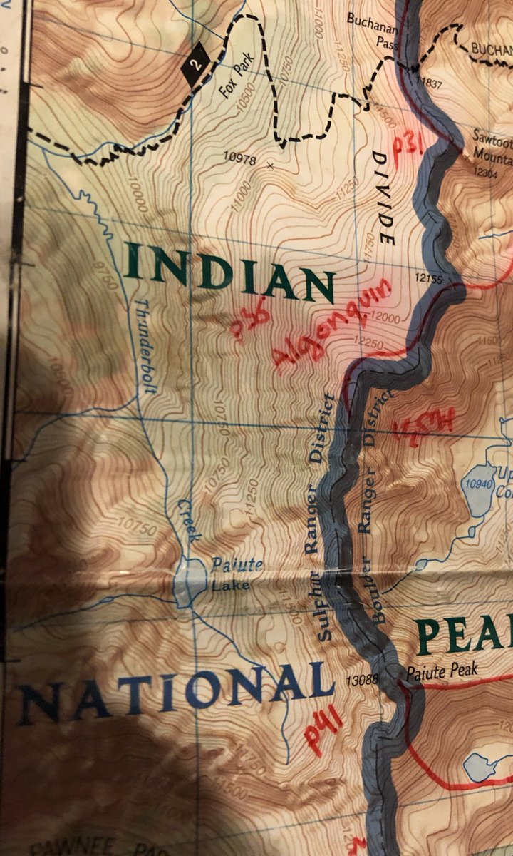
I need to add Thunderbolt Creek and Paiute L. Looked amazing from afar. That’s probably some of the most remote places on the area.
Not long ago I learned that “Park” meant wide valley in this area. That’s why many settlements have park in there name - Estes Park, Meeker Park, Allenspark, etc.
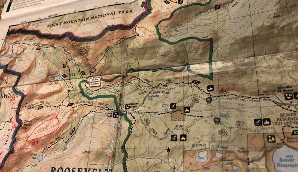
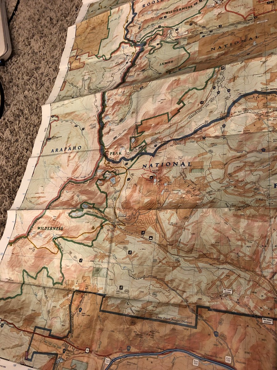
The James Peak area has potential. I’ve summited it from St Mary’s/I70and gotten as close from the north as Rogers Pass. Everything seems so close and yet far.
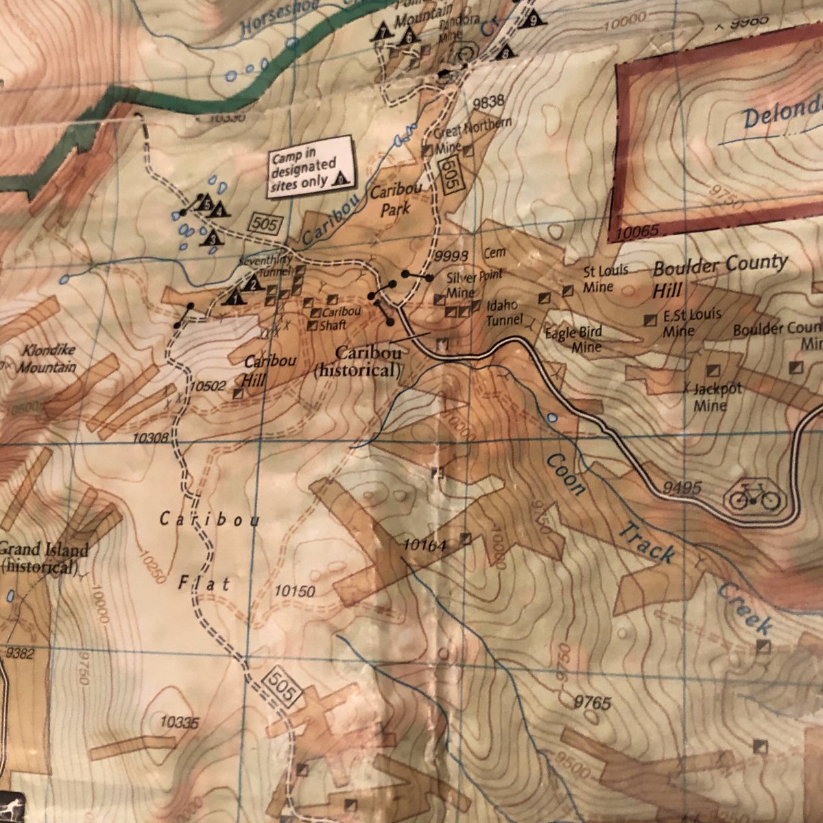
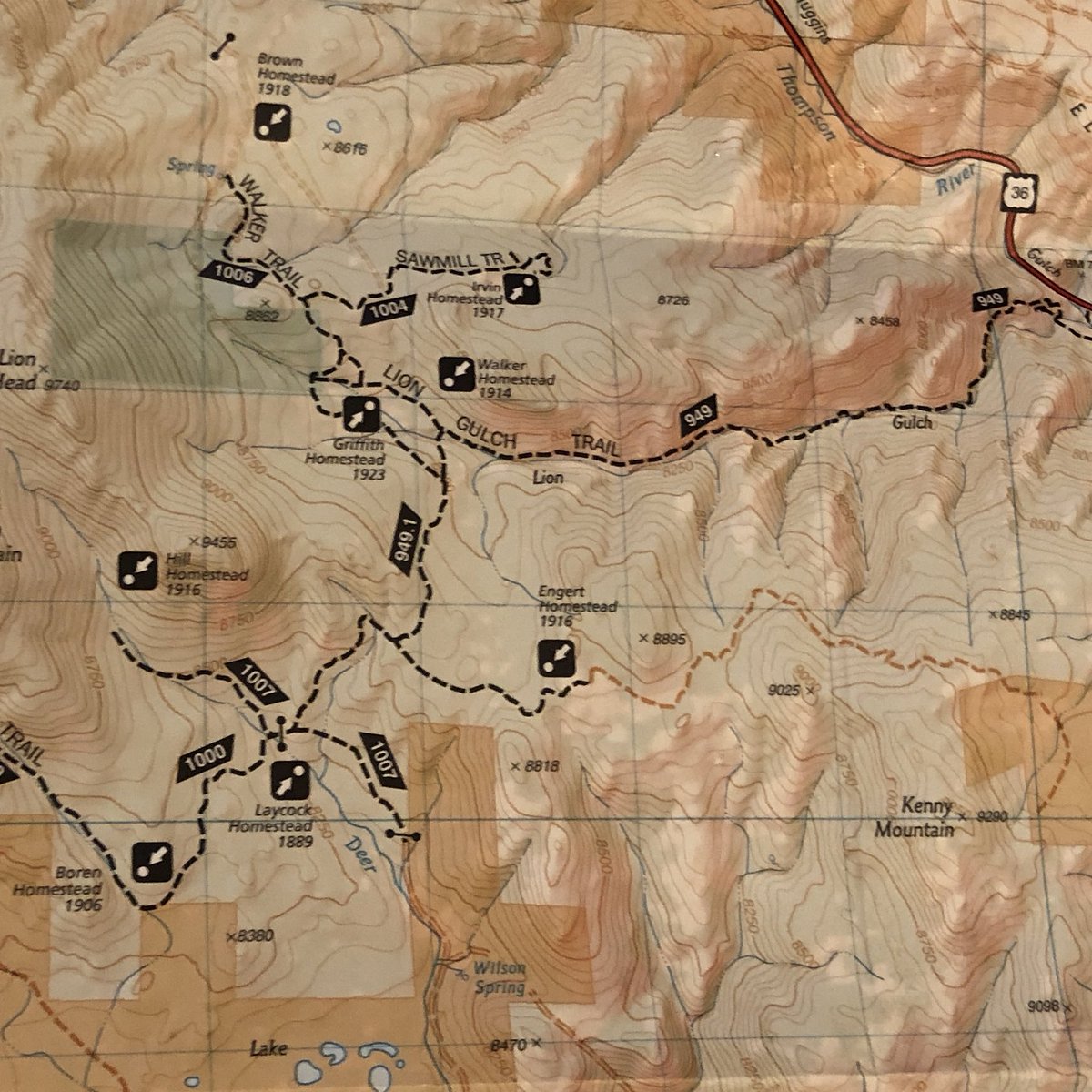
I’m hopefully going here soon. Been on a couple of the trails but many more to explore. Lots of old 1890-40’s ruins to see.
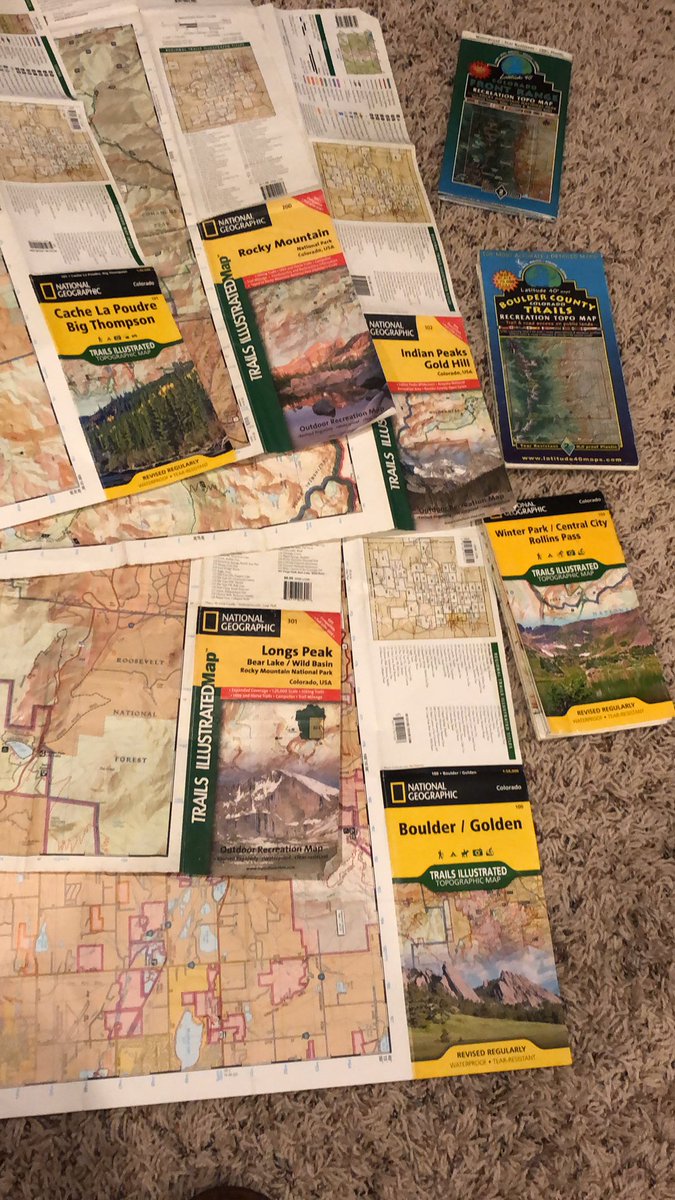
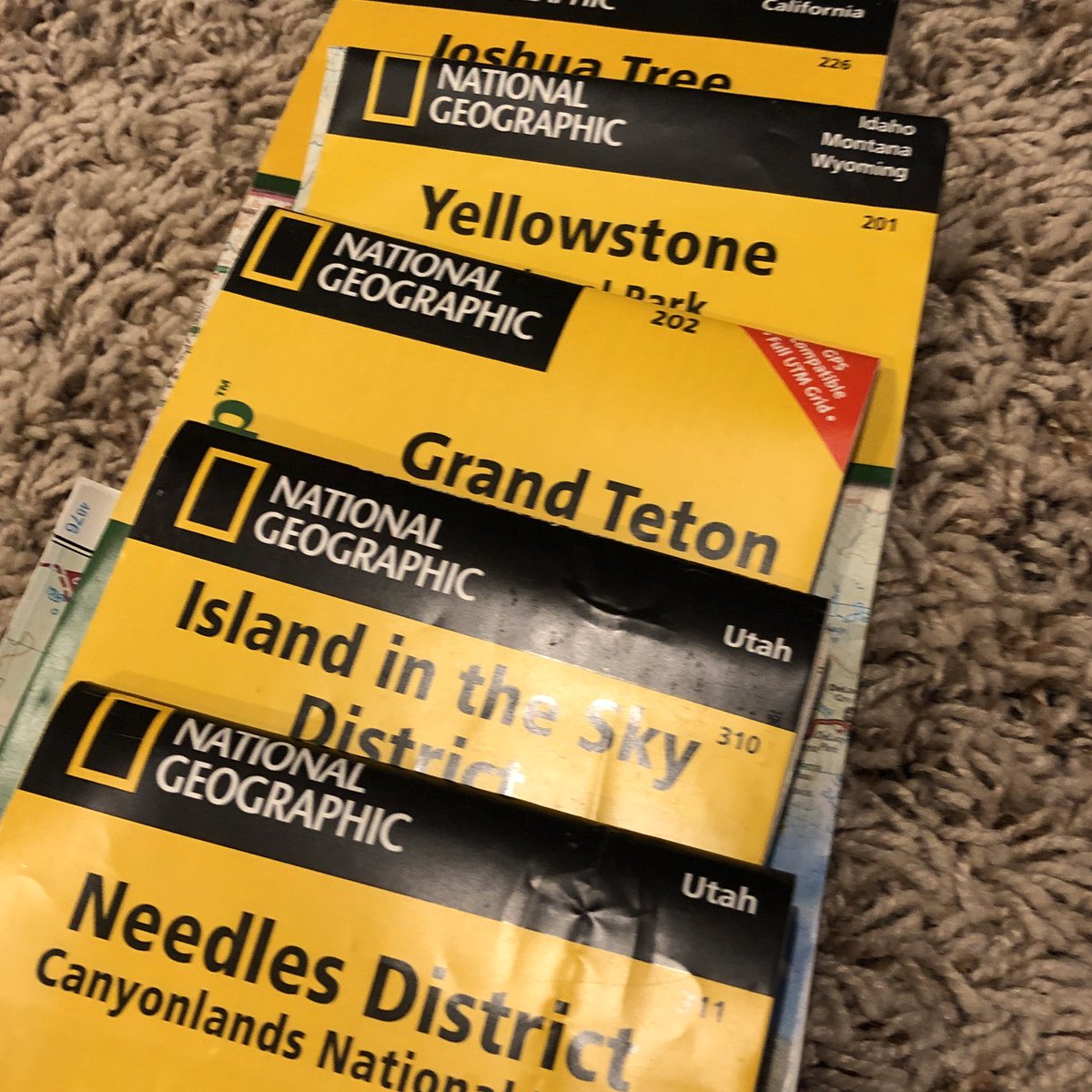
I’ve used these at least once in the field. If you asked me a couple of months ago, I would have assured you that I was using the Needles map.
Thanks for following on with me!
/end of thread
/end of thread

 Read on Twitter