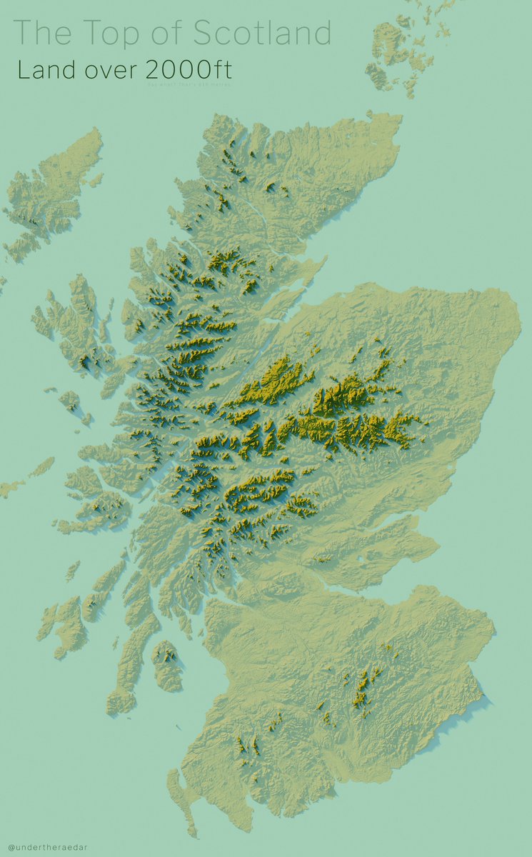
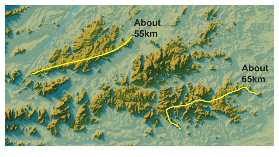
This is a map showing all land over 2,000ft in Scotland just because @VictimOfMaths asked for it and because we need to know & #39;what& #39;s the longest distance you can walk above 2,000ft in the UK?& #39; and suchlike
here& #39;s that high land as islands
and here& #39;s what we might call & #39;Munroland& #39; - everything 3,000ft or above
PS 2,000ft = 610m and 3,000ft = 914m and peaks of 3,000ft or higher are & #39;Munros& #39;, just in case you& #39;re not into Scottish mountain lingo or the imperial system of measuring the world
PS 2,000ft = 610m and 3,000ft = 914m and peaks of 3,000ft or higher are & #39;Munros& #39;, just in case you& #39;re not into Scottish mountain lingo or the imperial system of measuring the world
and the first and second images above as a looping gif just because I like gifs - so you can see where the land over 2,000ft is in relation to the rest

 Read on Twitter


