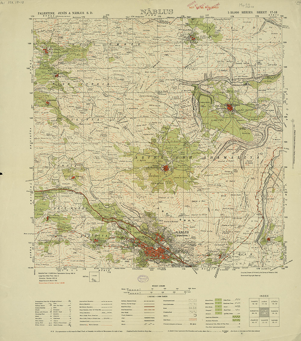
1/ Hello world! We just made 338 #HistoricMaps of #Palestine available to download in high resolution on Palestine Open Maps #PalOpenMaps. Please do share! https://palopenmaps.org"> https://palopenmaps.org (a project supported by @visualizingpal @basselkhartabil @creativecommons @mozilla @fabricatorz)
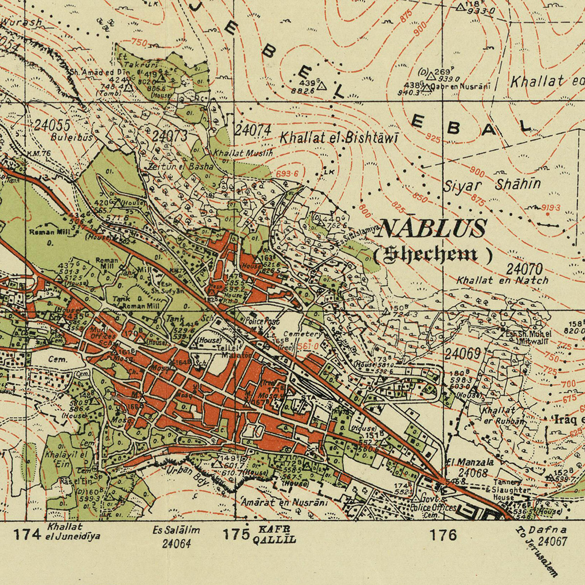
2/ All of the maps are in the public domain (expired copyright), sourced from archives including the David Rumsey map collection, the Israeli and Australian national libraries. The maps are all scanned at resolutions of at least 300dpi. Here& #39;s an example of the detail level...
3/ We also just added a new split-screen mode to #PalOpenMaps, so that you can instantly compare the various historic map layers to present day satellite maps and #OpenStreetMap road overlays https://palopenmaps.org"> https://palopenmaps.org
4/ What& #39;s next for #PalOpenMaps? My colleague @majdal has been holding #mapathons around the world (pre #covid19) to digitize/vectorize the features of the most detailed historic maps. Our next big step will be to turn this into a searchable web map layer!
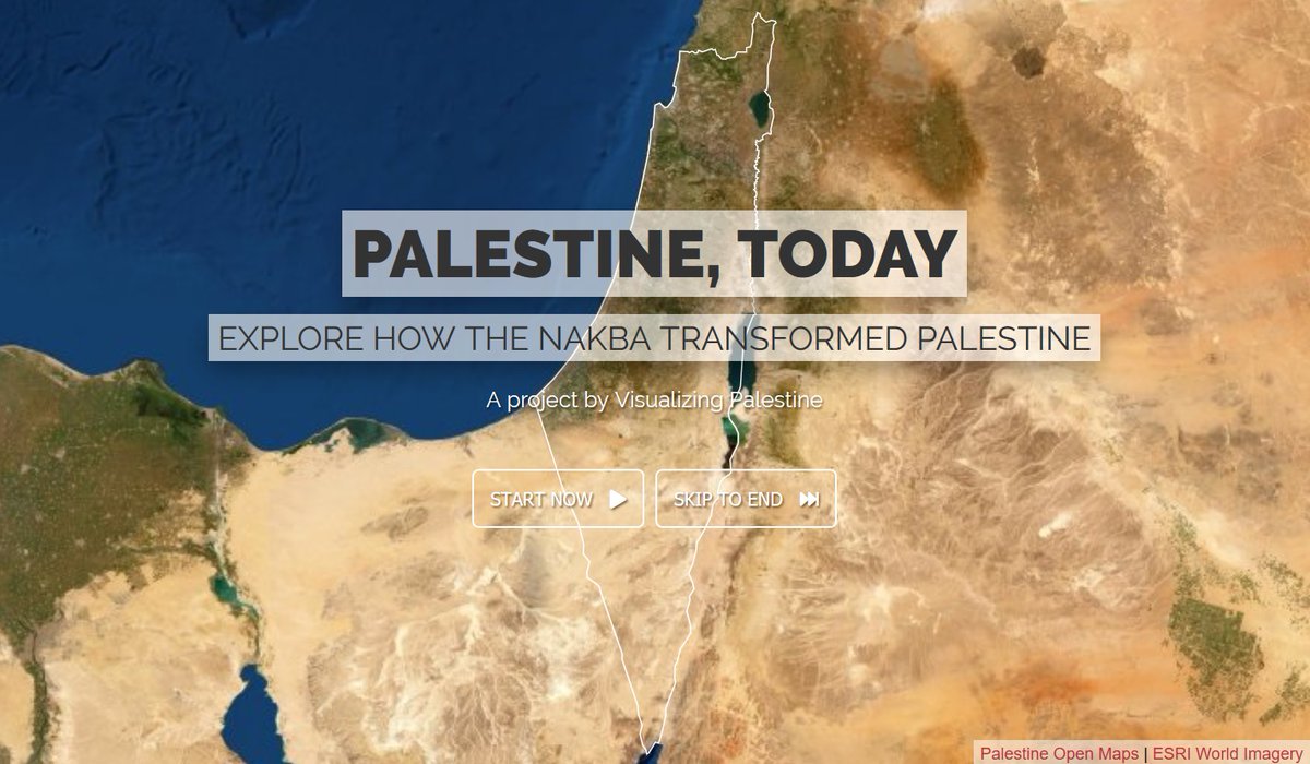
5/ Also... I& #39;ve also been working on a new interactive experience with @visualizingpal that will allow you to explore data-driven stories of nearly 1,200 communities in #Palestine, past and present. Set for launch around #NakbaDay, 15 May
6/ And, of course, if you do download and make use of the maps in your research/teaching/artwork/activism, please do let me, @majdal & @visualizingpal know what you& #39;re doing with them. We& #39;re hoping to be inspired by what you all come up with! https://twitter.com/majdal/status/1253273095395332102">https://twitter.com/majdal/st...

 Read on Twitter


