From the late 1920s, an official guide produced for the Sutton & Cheam Urban District Council. Full Borough status would not be achieved until the next decade. It offers a fascinating glimpse of a Surrey town being slowly absorbed by London& #39;s inter-war suburban sprawl. [re-post]
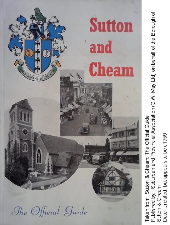
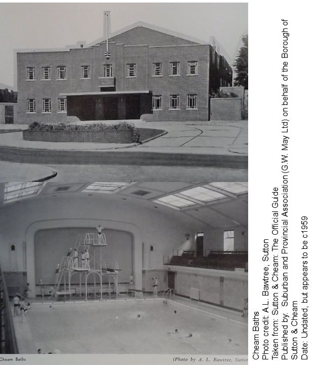
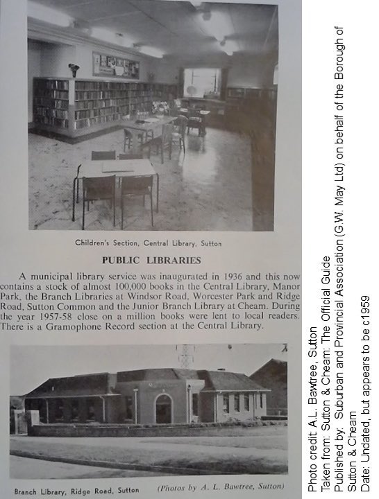
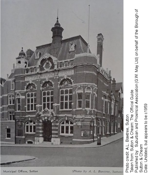
Moving on to the late 1950s, here is an official guide for what was by now the Borough of Sutton and Cheam. Nice photos of Cheam Baths and the former Council Offices (again) which were demolished to make way for the Shinners department store annex (now a Wilko!).
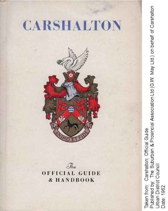
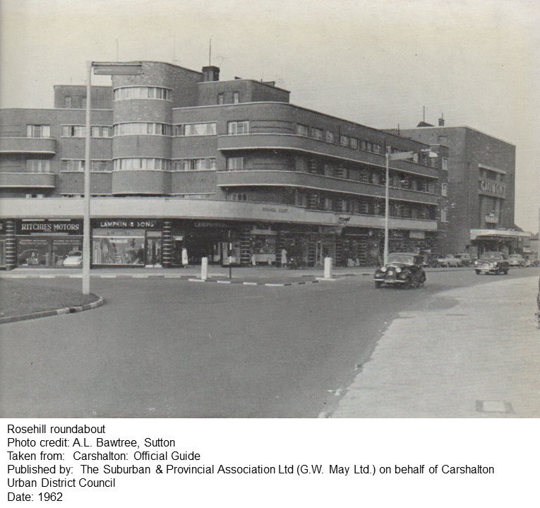
A 1962 official guide from the Urban District of Carshalton. Carshalton UDC wished to stay out of Greater London, but reluctantly conceded that being replaced by @SuttonCouncil was “less undesirable” than some of the other options on the table...
Re that last point, here is an extract from the summary of the conferences held to determine the composition of the new London boroughs...
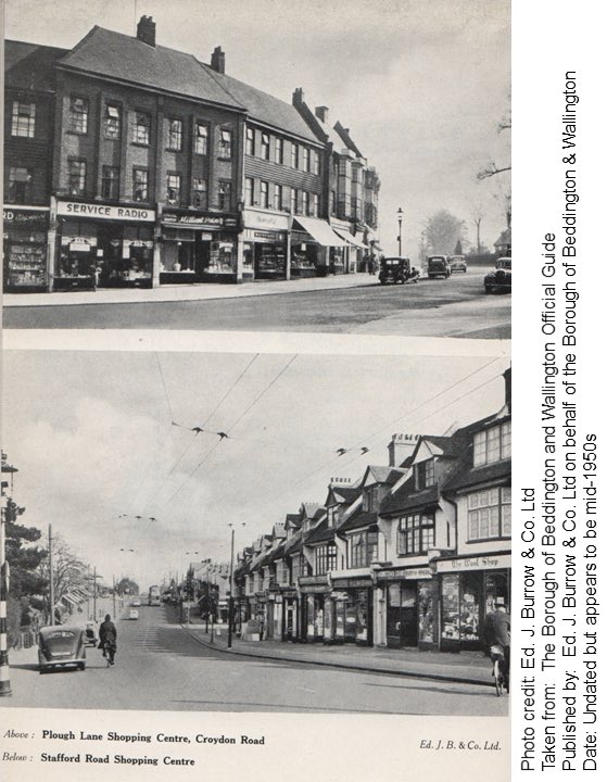
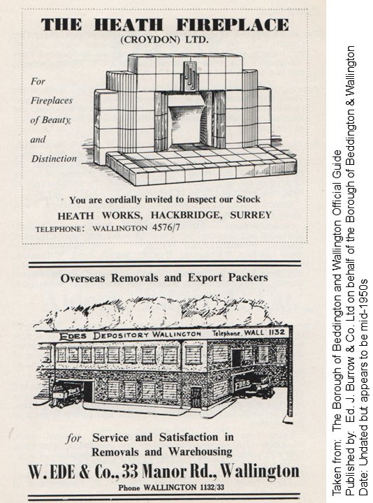
The third local authority to be replaced by @SuttonCouncil was the Borough of Beddington and Wallington. Here is an official guide from the mid-1950s showing Robert Atkinson’s Town Hall.

 Read on Twitter
![From the late 1920s, an official guide produced for the Sutton & Cheam Urban District Council. Full Borough status would not be achieved until the next decade. It offers a fascinating glimpse of a Surrey town being slowly absorbed by London& #39;s inter-war suburban sprawl. [re-post] From the late 1920s, an official guide produced for the Sutton & Cheam Urban District Council. Full Borough status would not be achieved until the next decade. It offers a fascinating glimpse of a Surrey town being slowly absorbed by London& #39;s inter-war suburban sprawl. [re-post]](https://pbs.twimg.com/media/EVj6ETpWoAIPwZe.jpg)
![From the late 1920s, an official guide produced for the Sutton & Cheam Urban District Council. Full Borough status would not be achieved until the next decade. It offers a fascinating glimpse of a Surrey town being slowly absorbed by London& #39;s inter-war suburban sprawl. [re-post] From the late 1920s, an official guide produced for the Sutton & Cheam Urban District Council. Full Borough status would not be achieved until the next decade. It offers a fascinating glimpse of a Surrey town being slowly absorbed by London& #39;s inter-war suburban sprawl. [re-post]](https://pbs.twimg.com/media/EVj6ETnWsAAxA-W.jpg)
![From the late 1920s, an official guide produced for the Sutton & Cheam Urban District Council. Full Borough status would not be achieved until the next decade. It offers a fascinating glimpse of a Surrey town being slowly absorbed by London& #39;s inter-war suburban sprawl. [re-post] From the late 1920s, an official guide produced for the Sutton & Cheam Urban District Council. Full Borough status would not be achieved until the next decade. It offers a fascinating glimpse of a Surrey town being slowly absorbed by London& #39;s inter-war suburban sprawl. [re-post]](https://pbs.twimg.com/media/EVj6ETsXYAI8MTw.jpg)
![From the late 1920s, an official guide produced for the Sutton & Cheam Urban District Council. Full Borough status would not be achieved until the next decade. It offers a fascinating glimpse of a Surrey town being slowly absorbed by London& #39;s inter-war suburban sprawl. [re-post] From the late 1920s, an official guide produced for the Sutton & Cheam Urban District Council. Full Borough status would not be achieved until the next decade. It offers a fascinating glimpse of a Surrey town being slowly absorbed by London& #39;s inter-war suburban sprawl. [re-post]](https://pbs.twimg.com/media/EVj6EUHX0AUYcrl.jpg)


