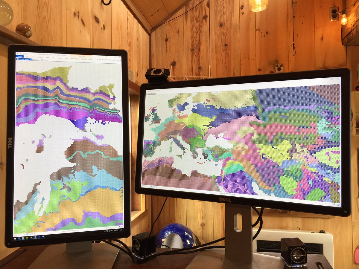
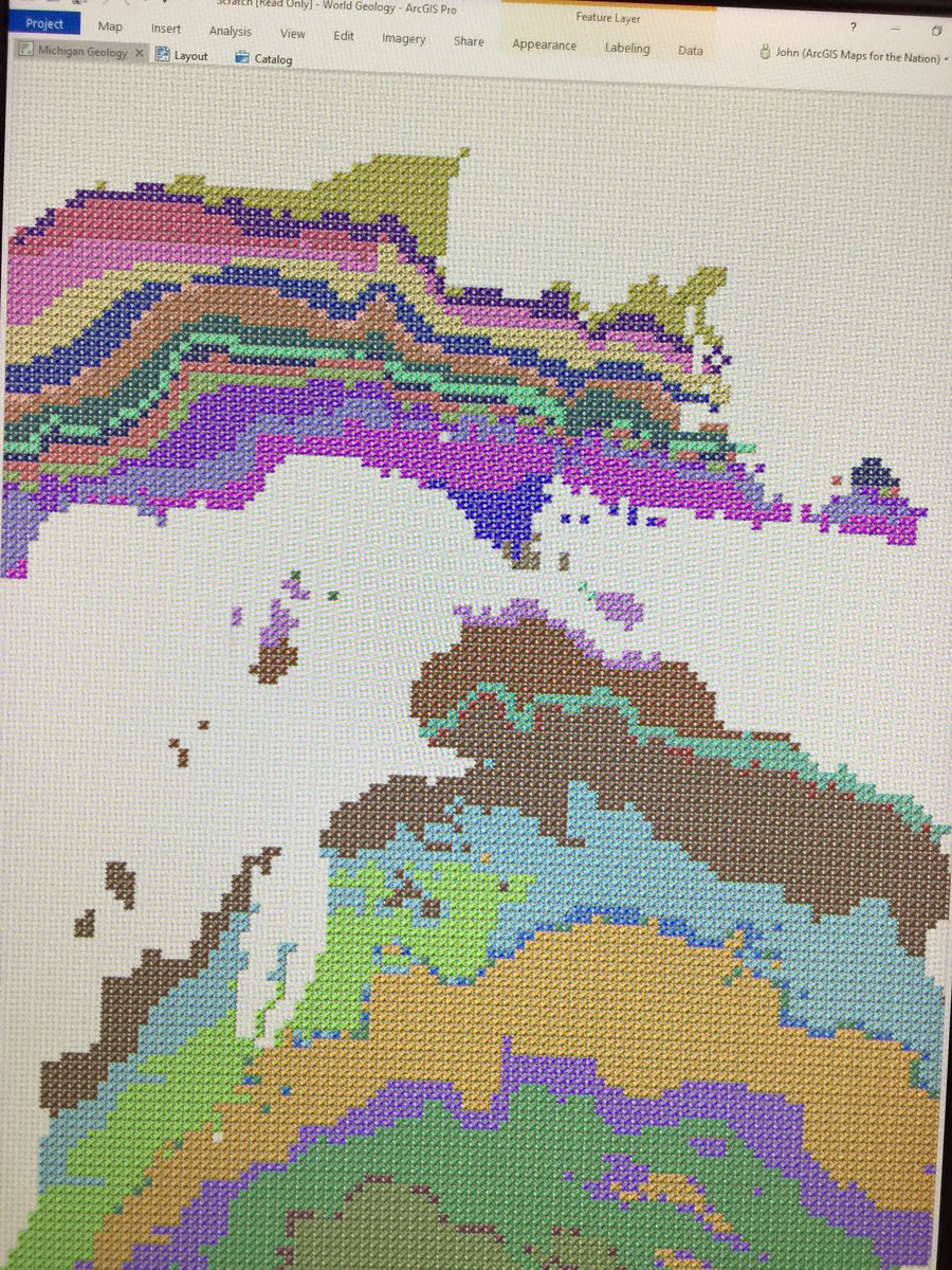
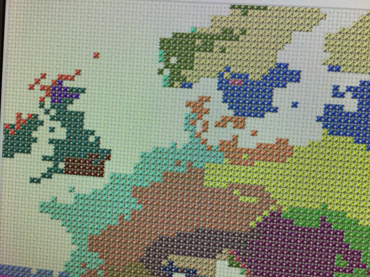
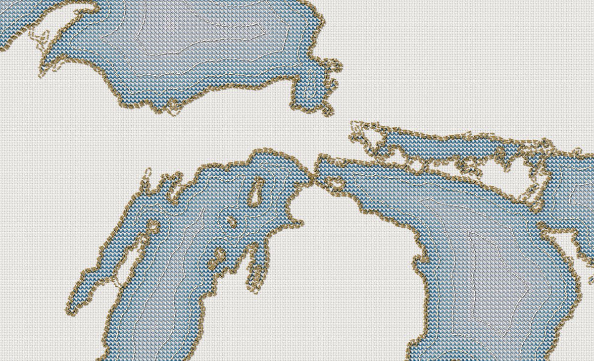
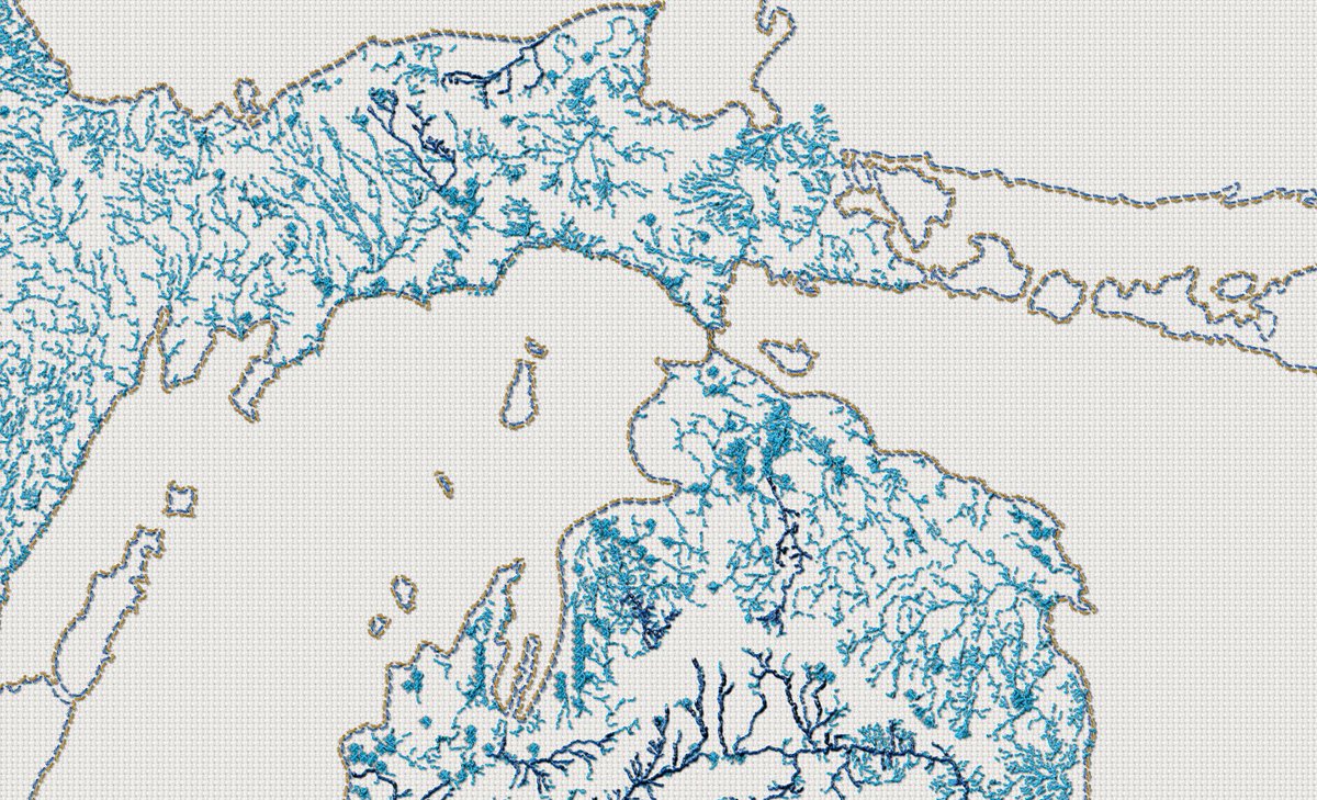
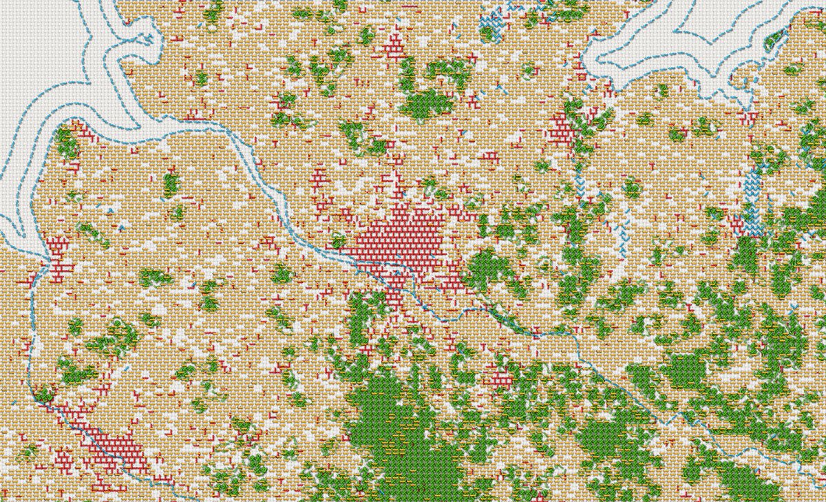
Because making touchable looking maps is fun, I’m working on a cross-stitch style for @ArcGISPro
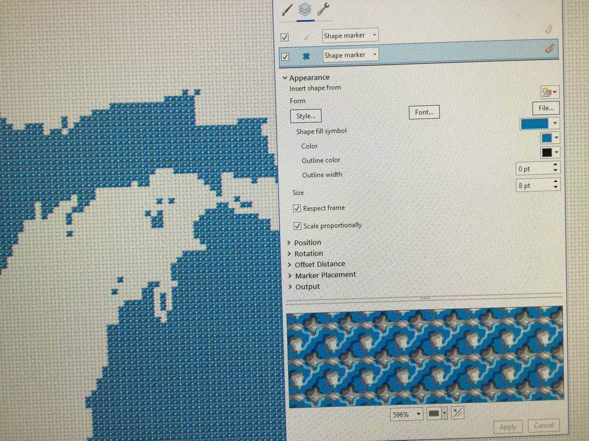
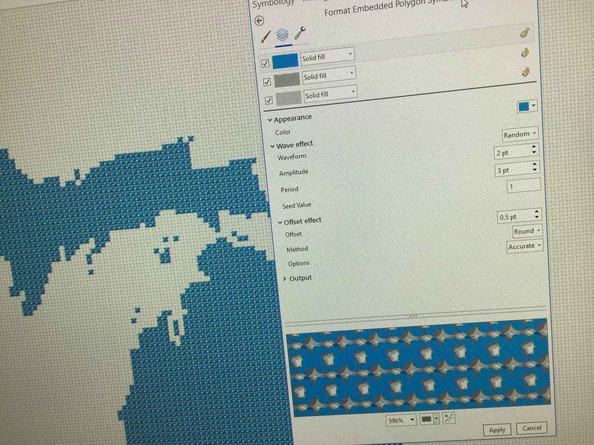
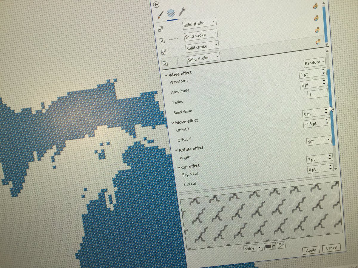
I’ll fill out the style and share it later. In the meantime here’s a look behind the stitches. Two symbol layers. One a “+” unlocked-color graphic with some wiggle and some copies for shade. Topmost layer is some light/dark lines with wiggle, rotation, and offsets to add depth.

 Read on Twitter