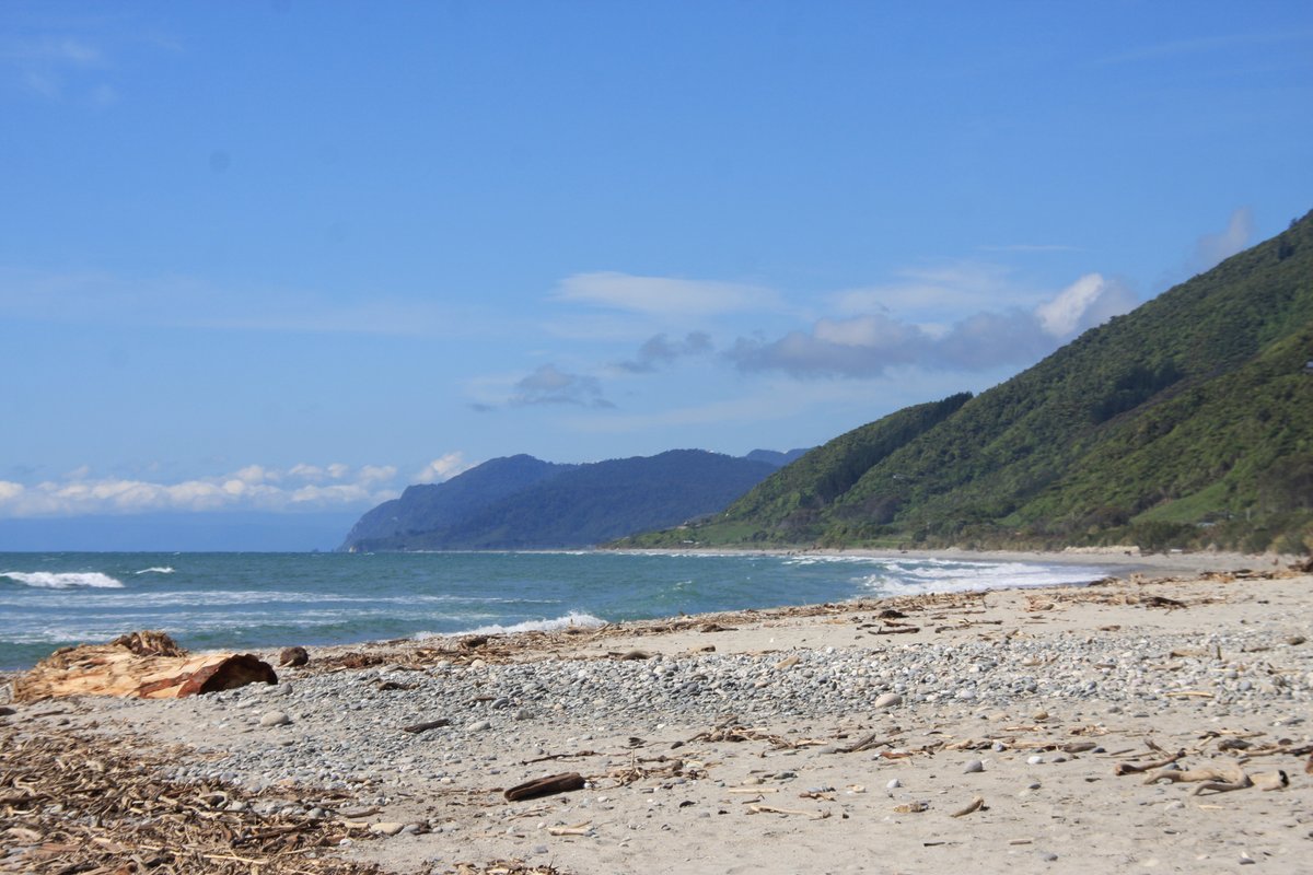
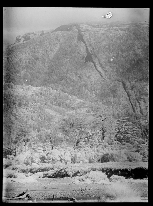
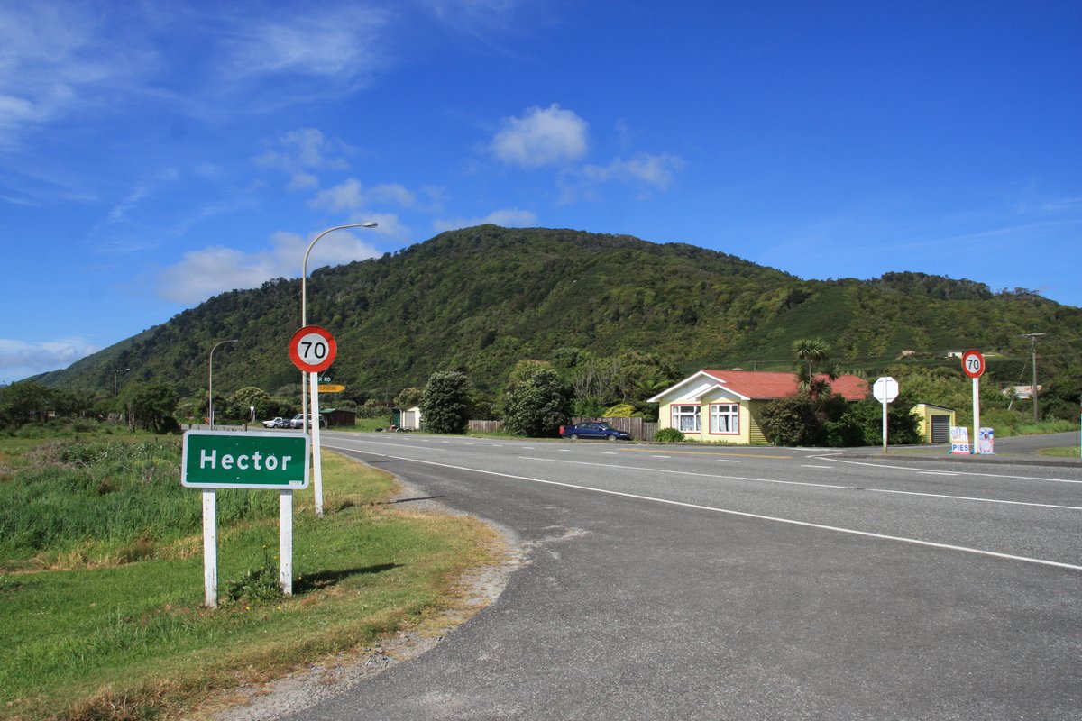
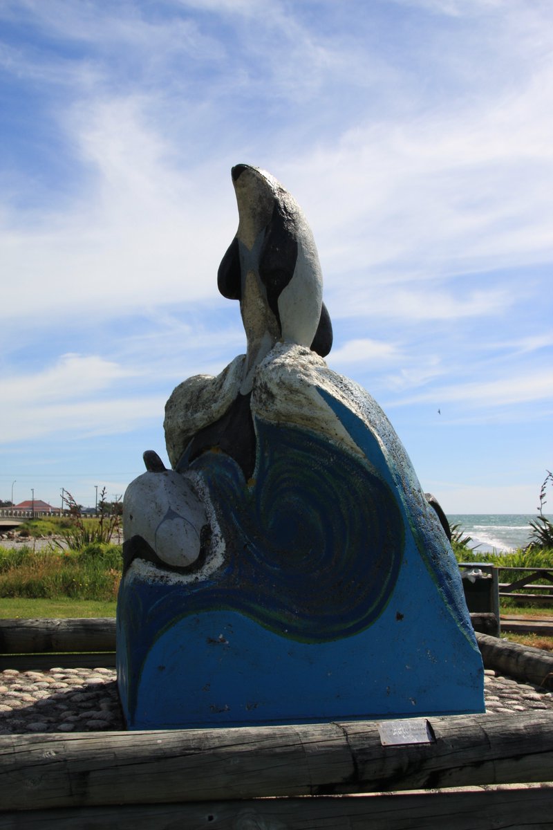
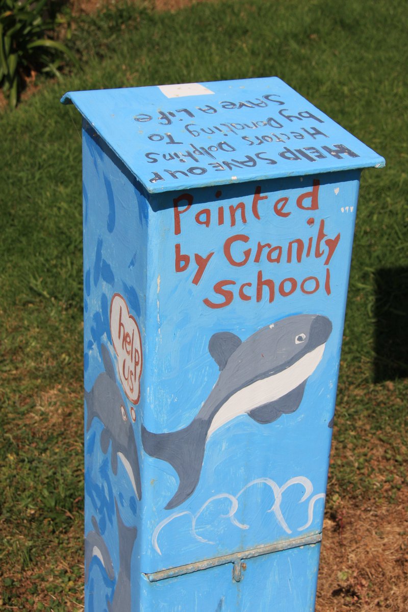
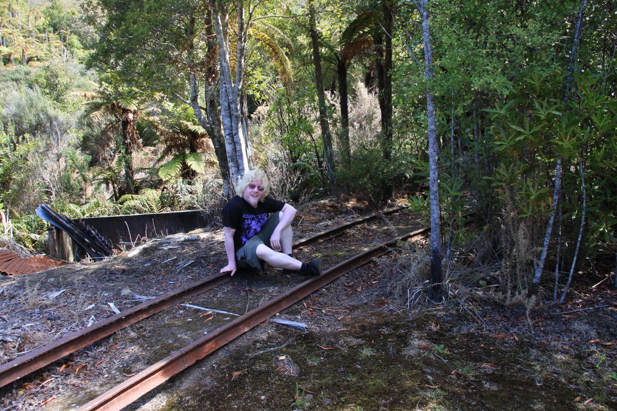
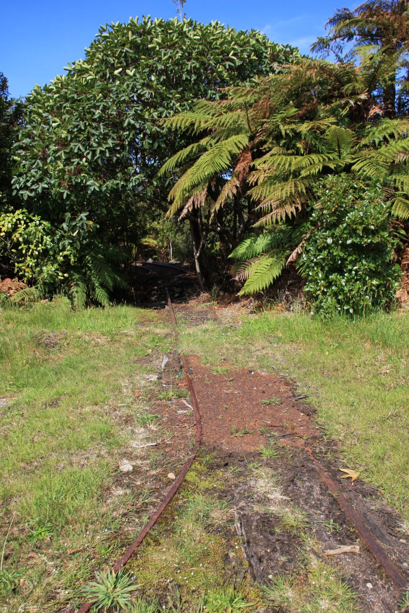
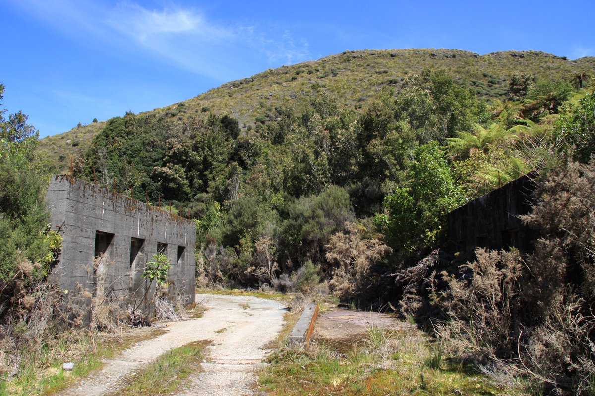
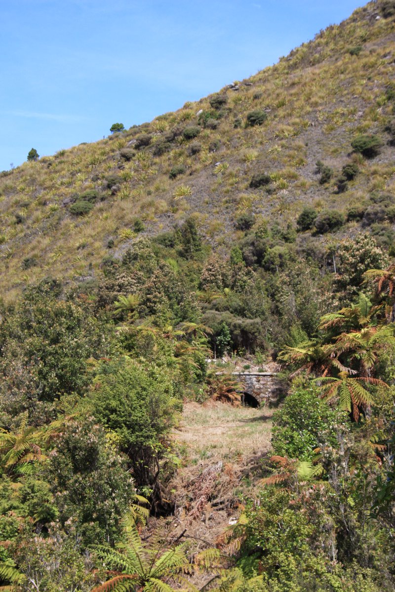
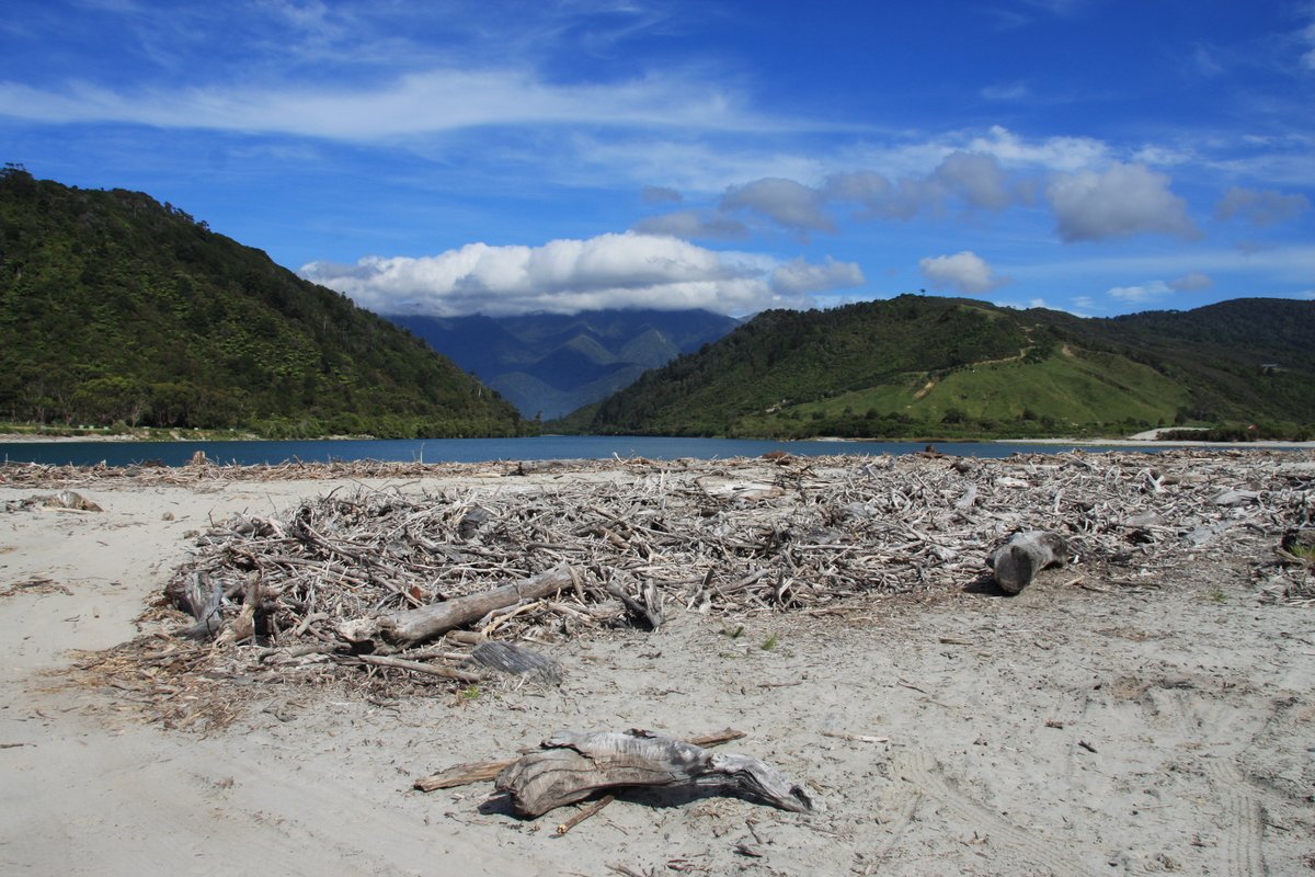
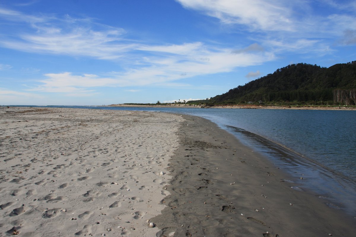
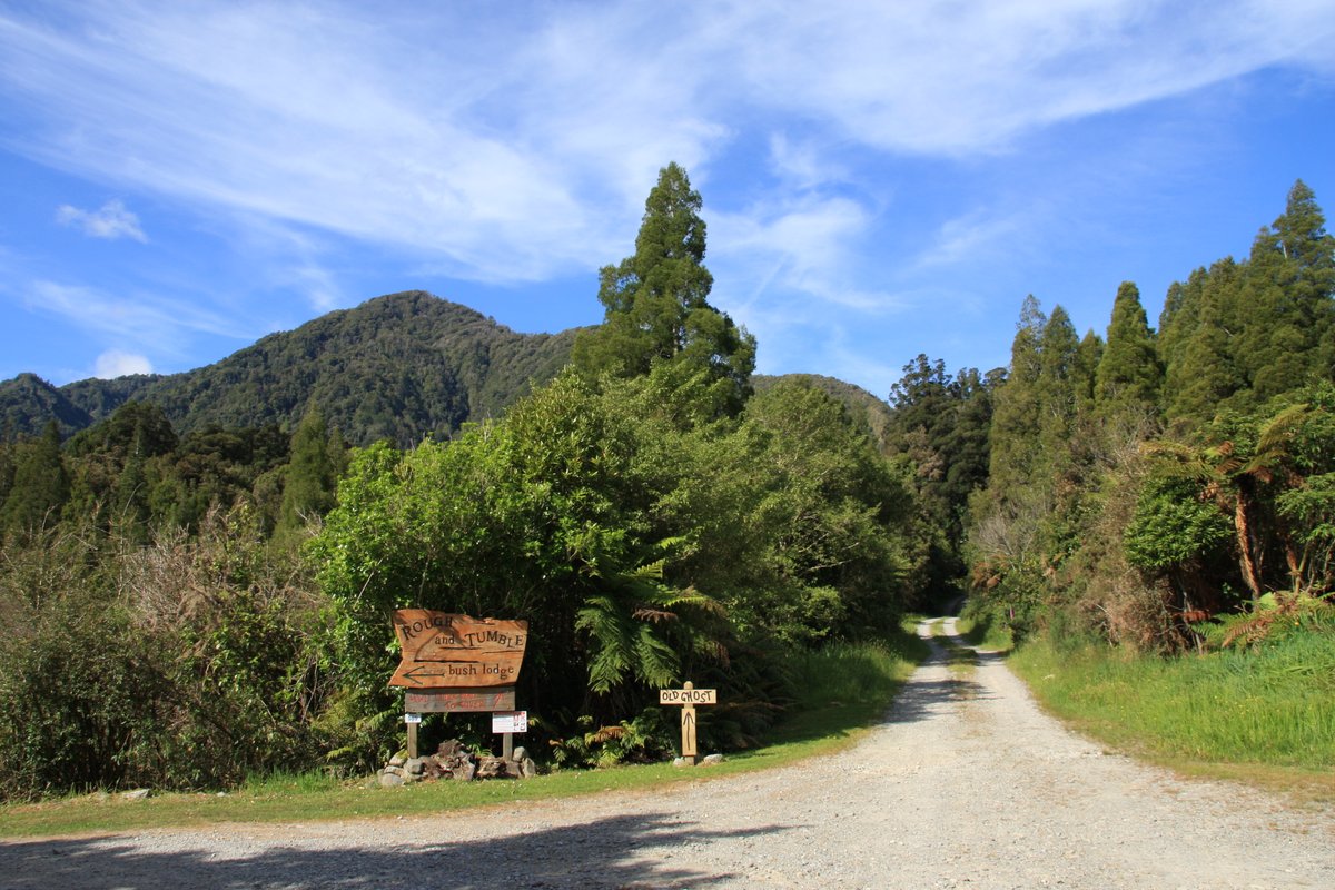
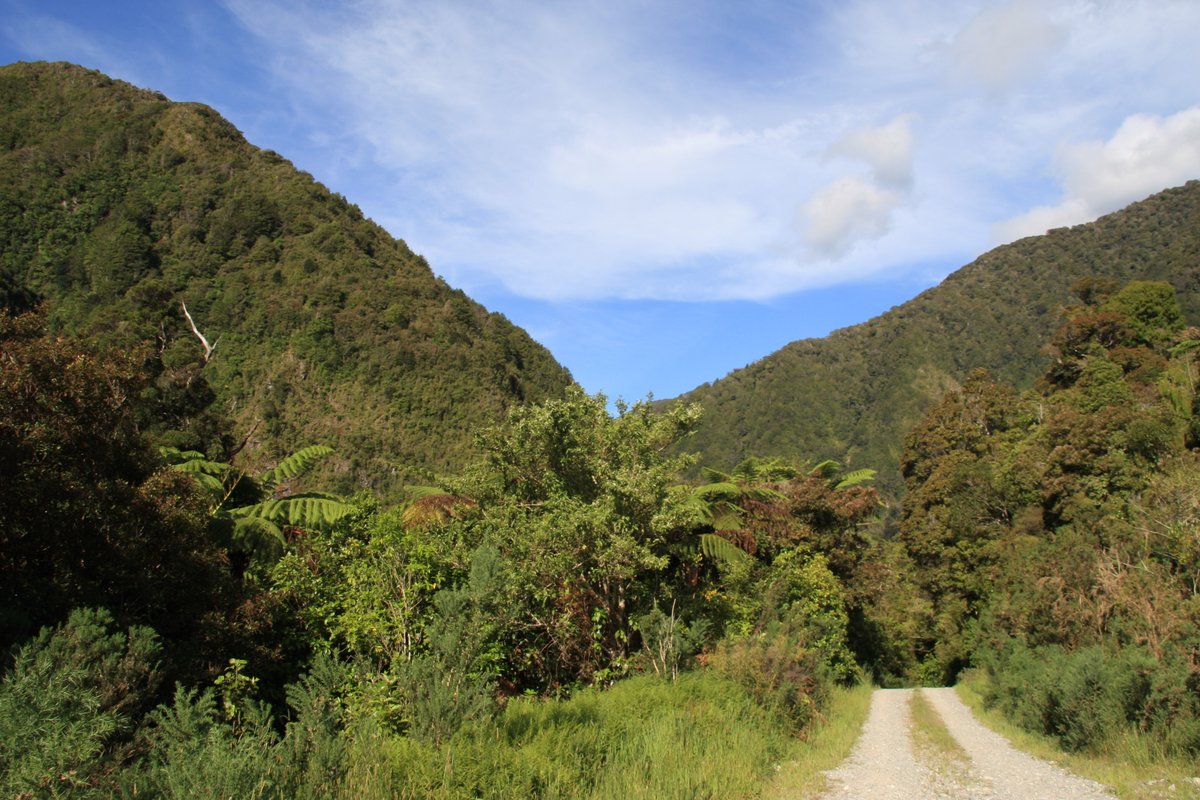
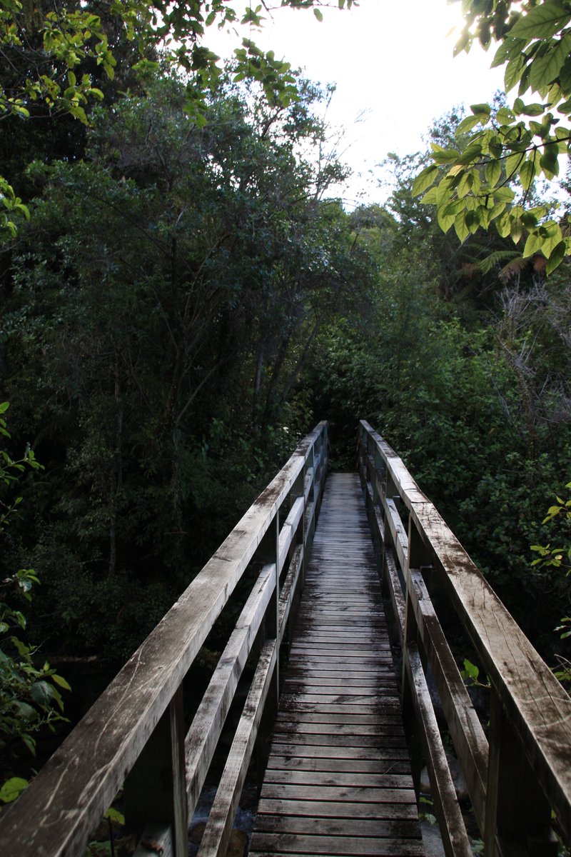
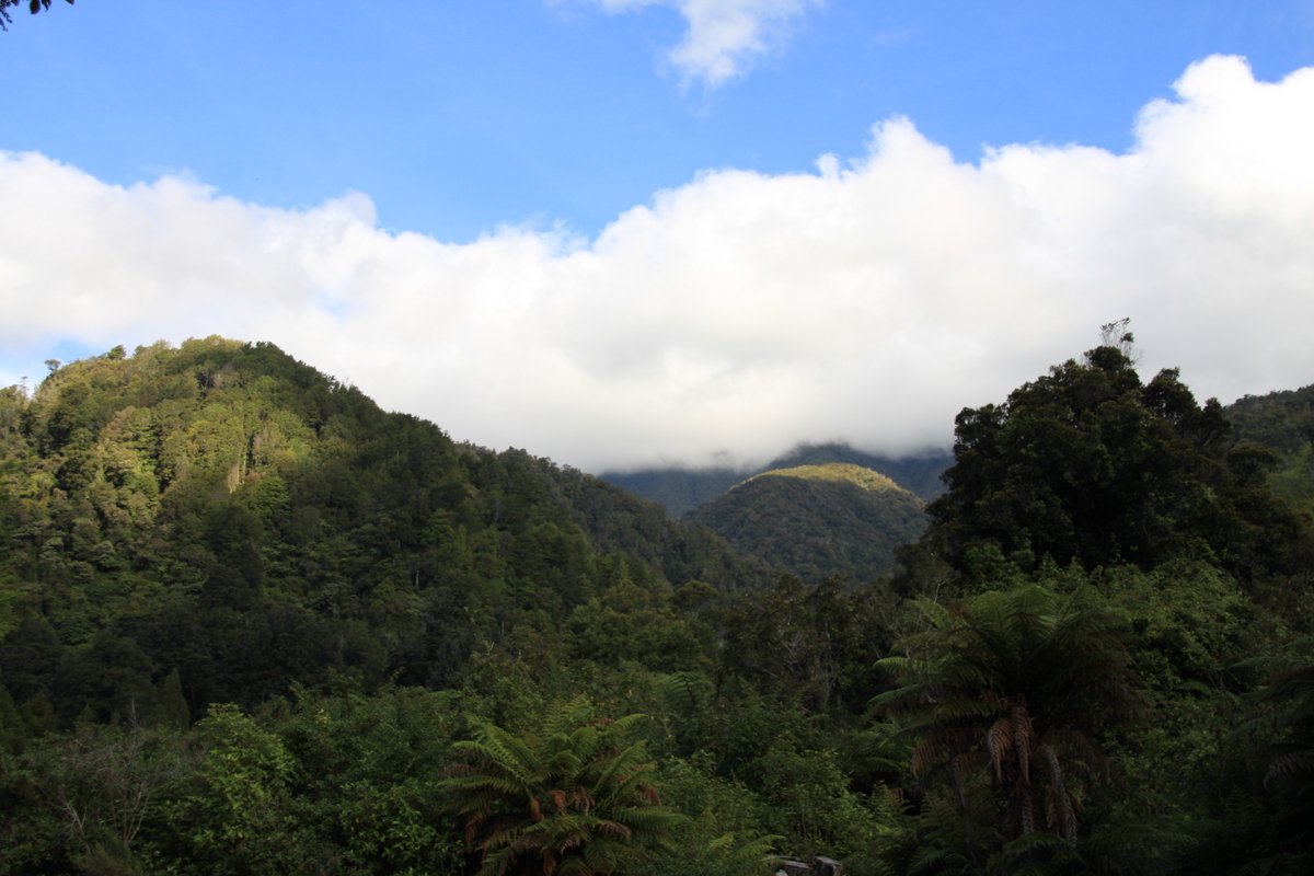
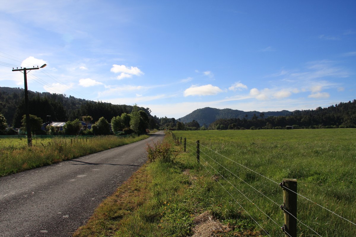
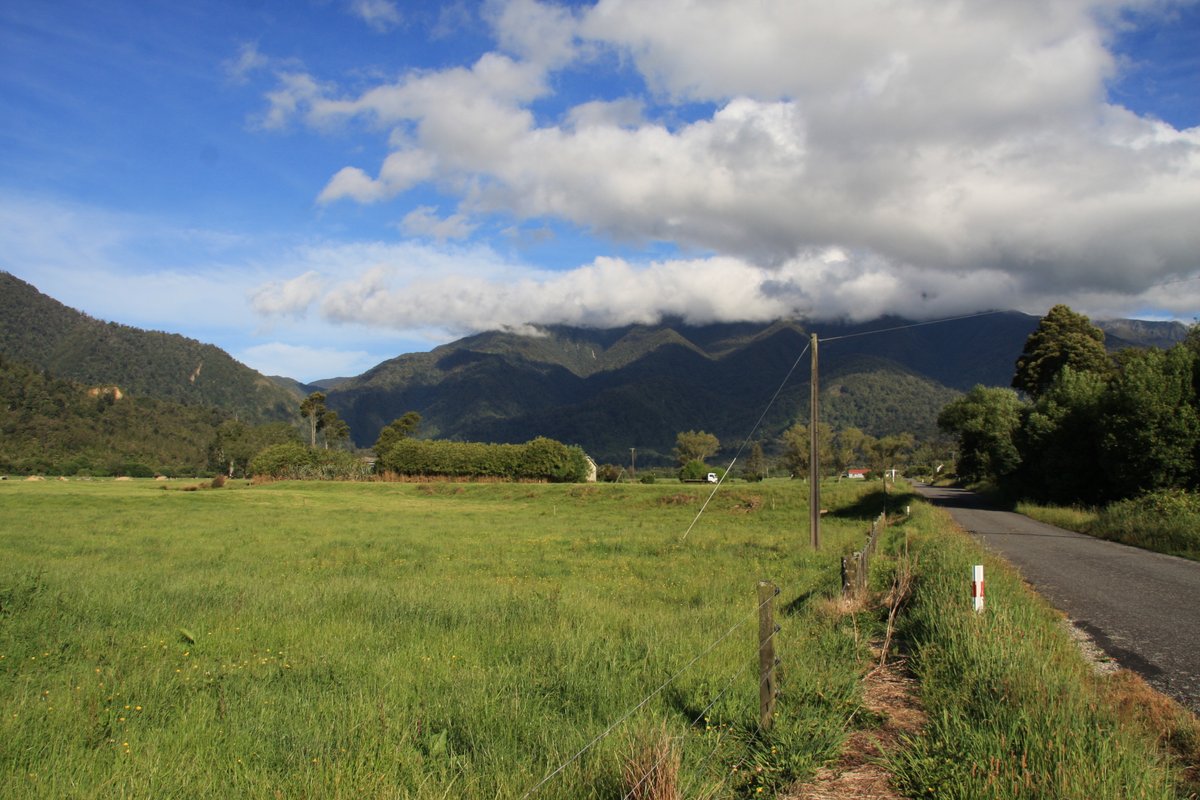
Yesterday& #39;s virtual road trip was fun, so let& #39;s do another. Time for a lot of Buller: the northernmost district of the West Coast region. Buller has remarkable scenery and strong industrial history. Yes this thread has some trains for my fellow railway nerds! (pic is from Hector)
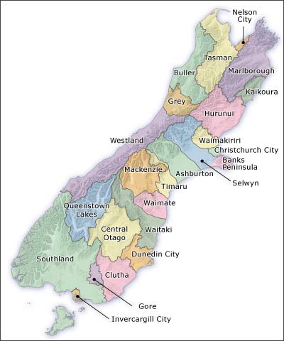
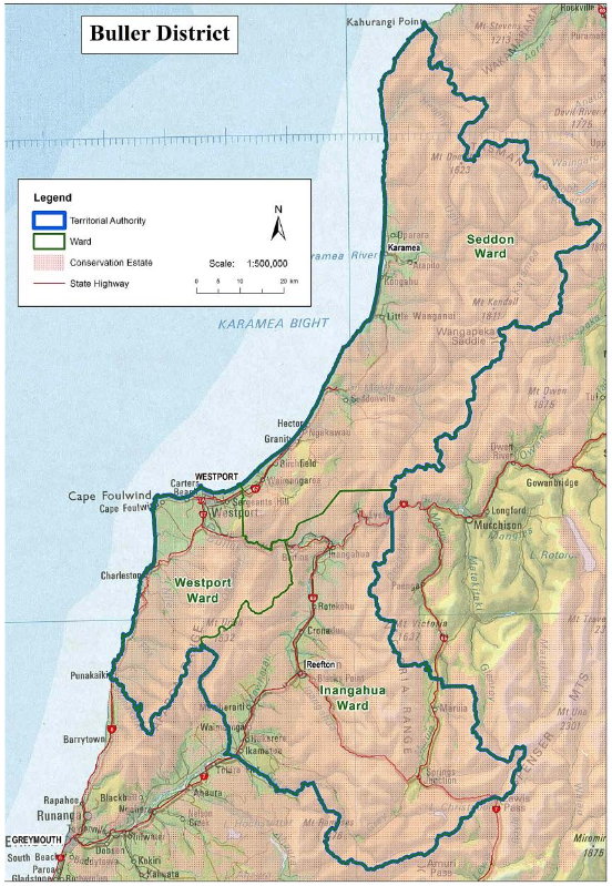
I& #39;ve been to Buller twice—once as a kid in 1993, and again in November 2013, which my pics are from. These maps show where the region is in the South Island, and a more close-up look. The population is only about 10,000, with about 4,000 of them in Westport.
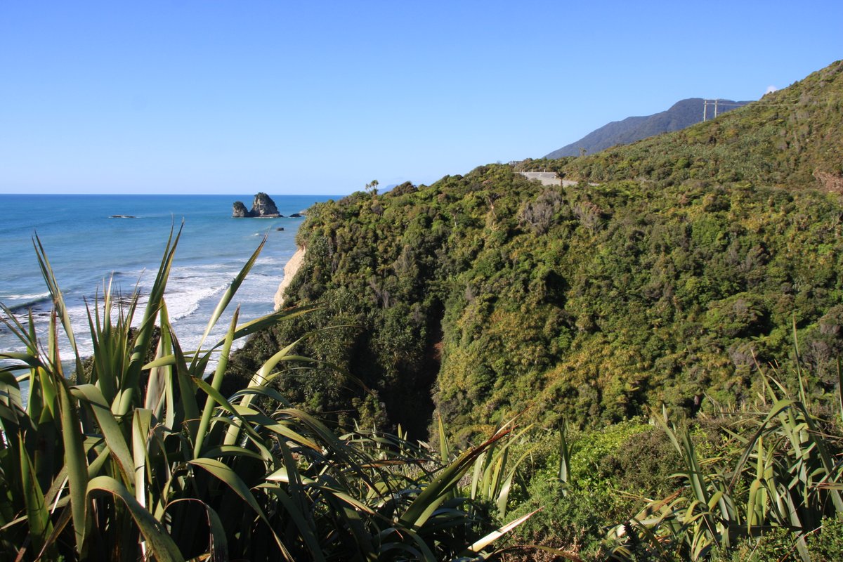
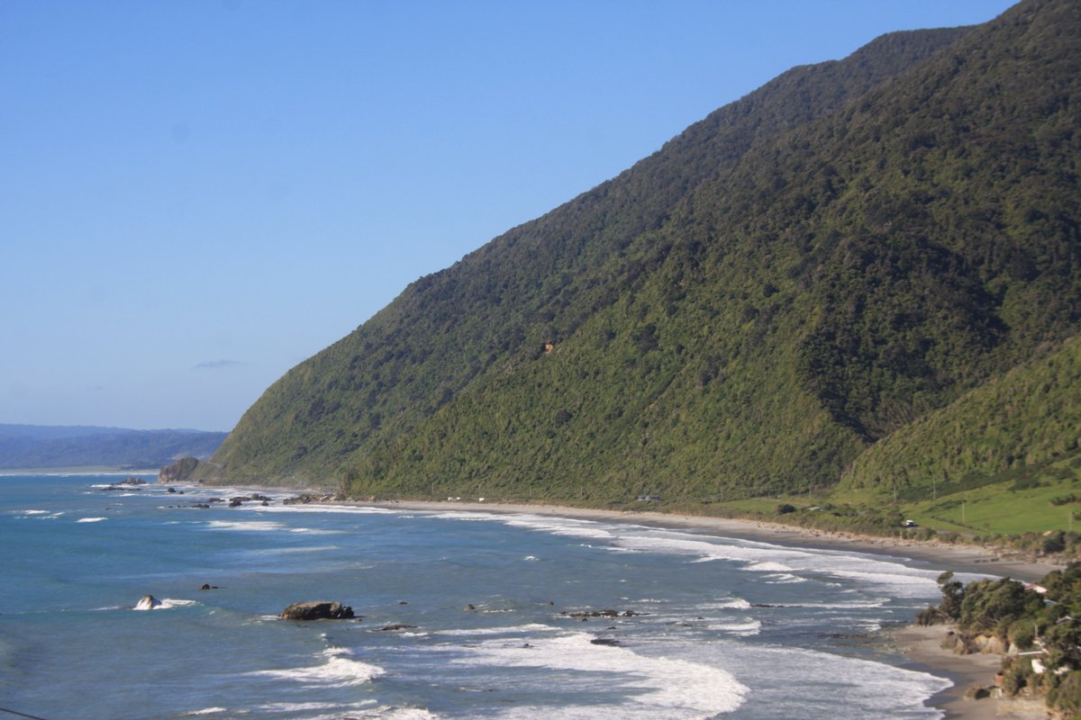
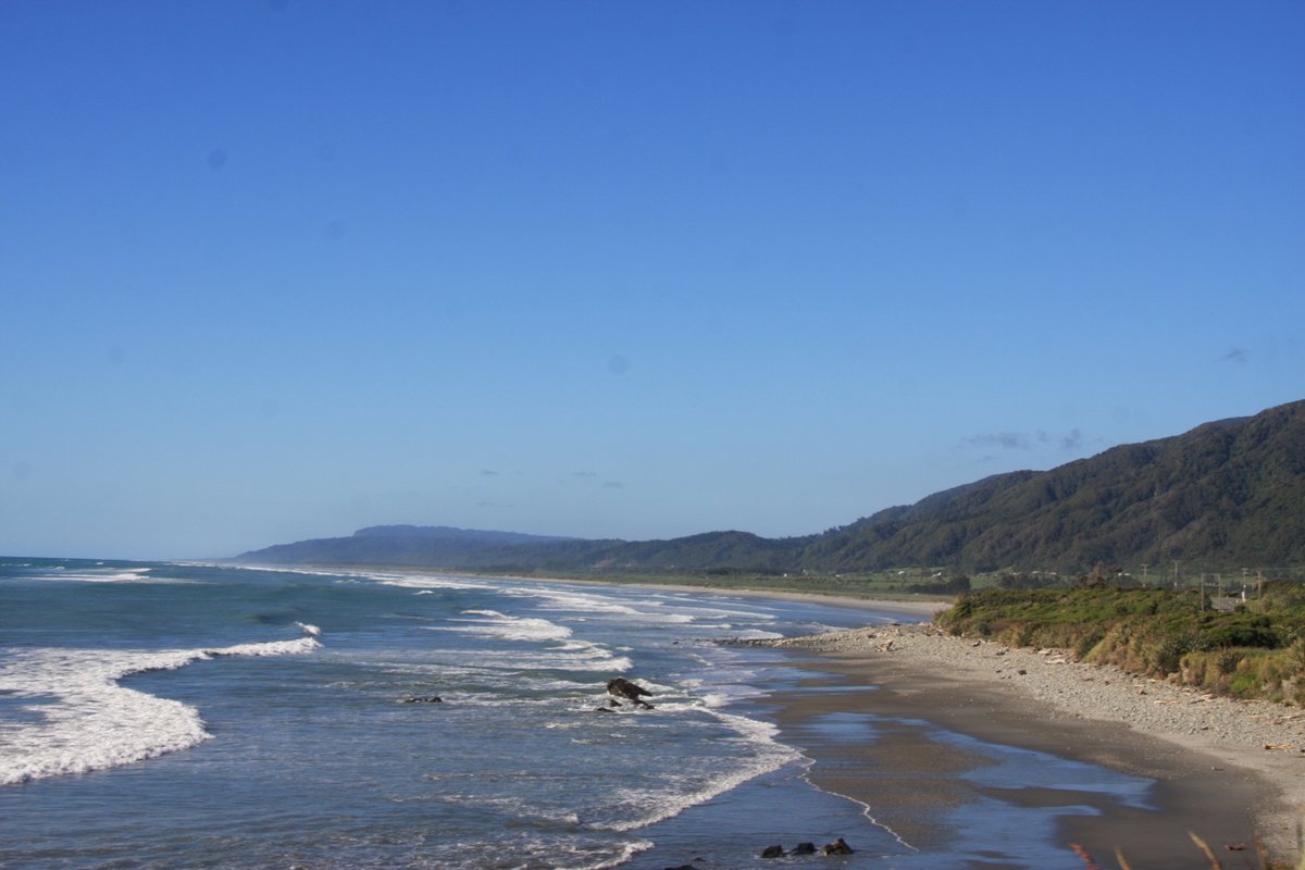
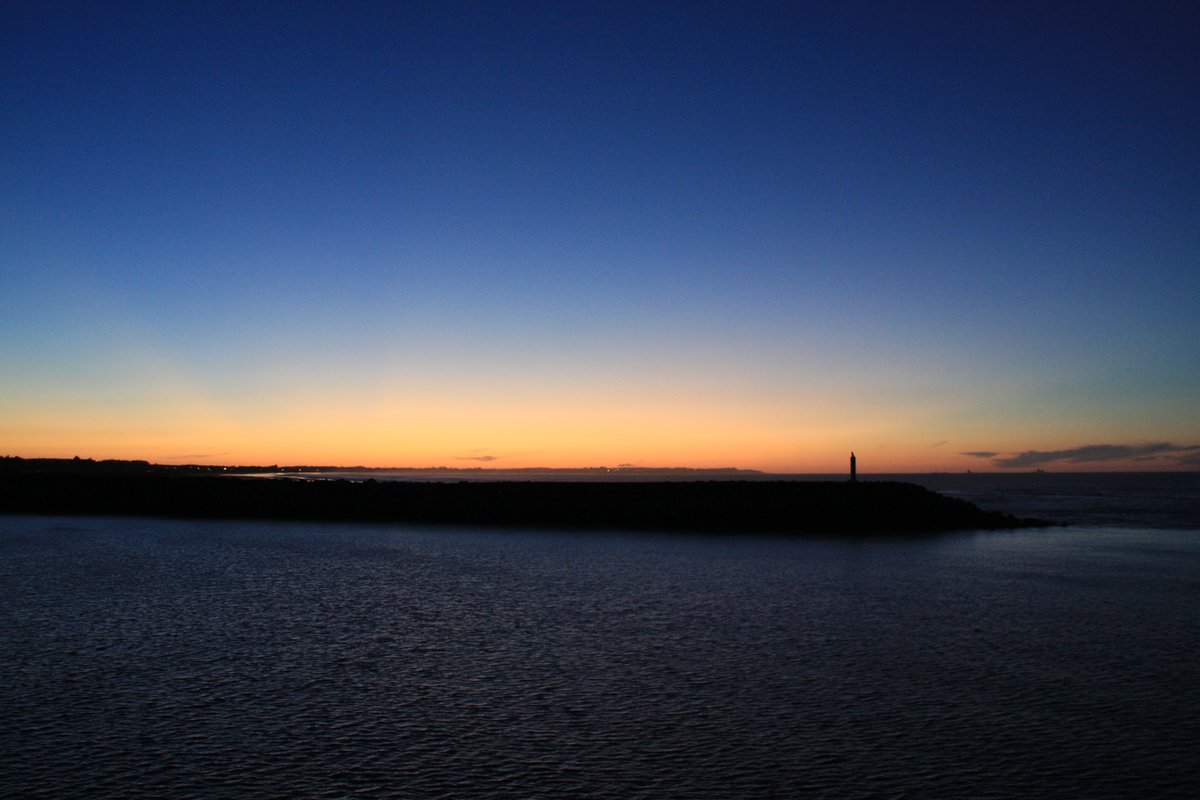
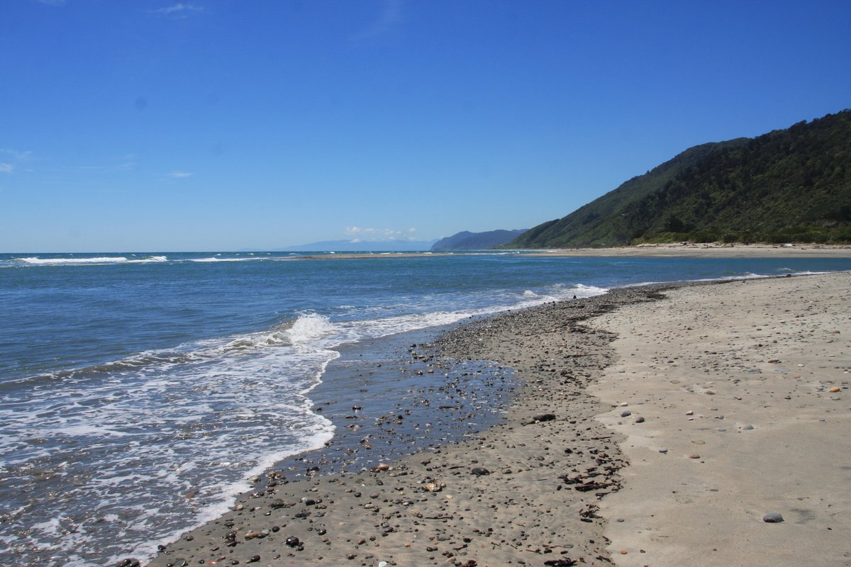
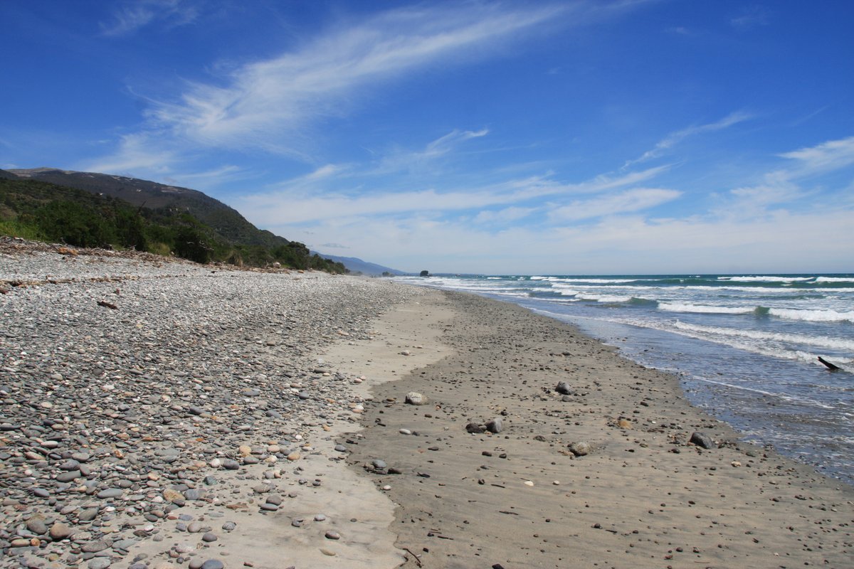
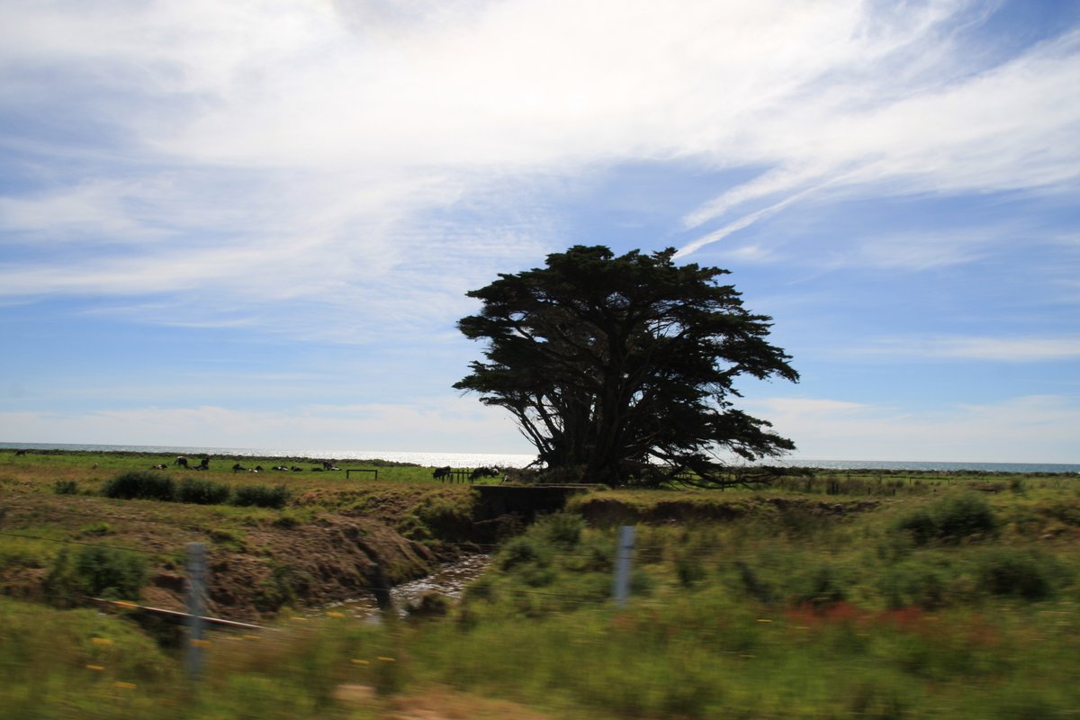
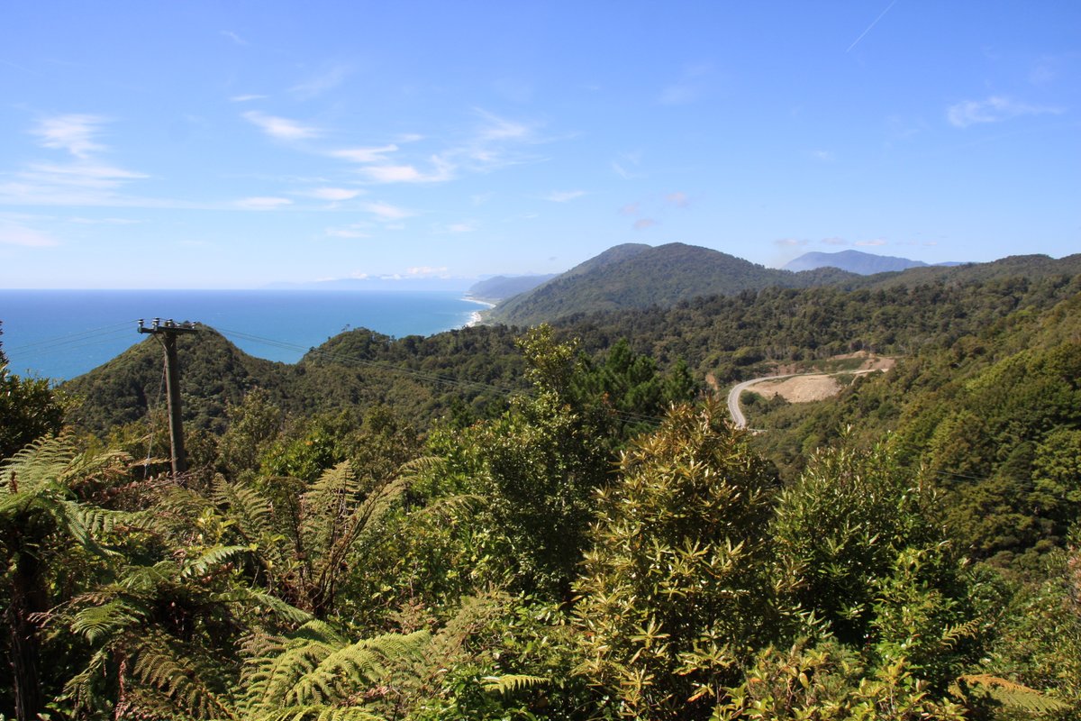
First, a few shots from the coastal drive between Greymouth and Westport on a glorious spring evening.
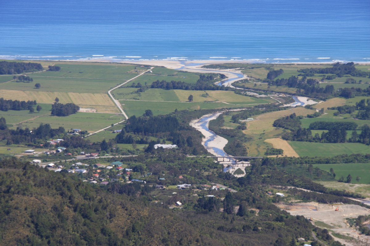
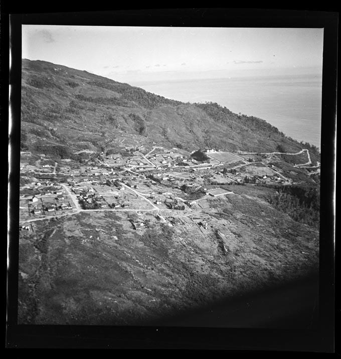
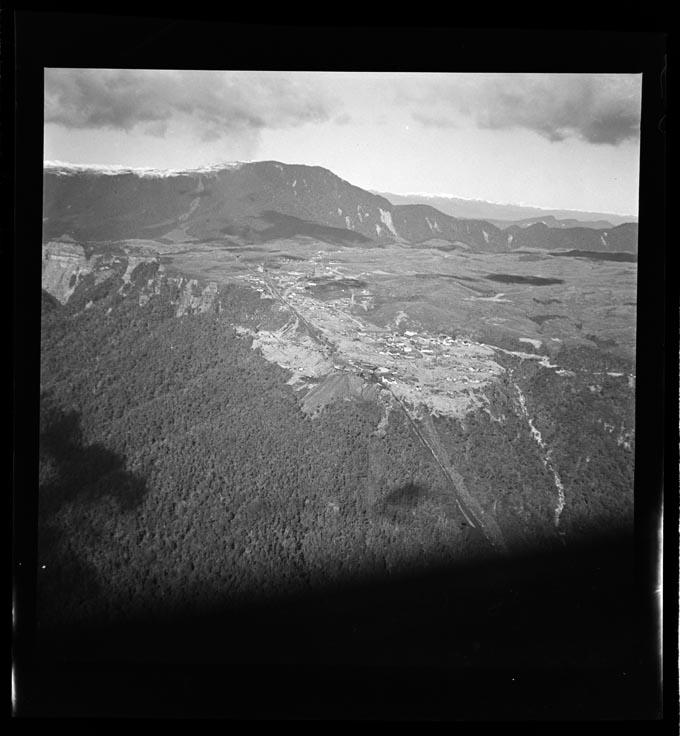
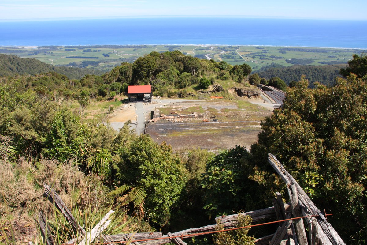
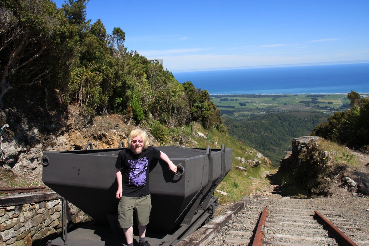
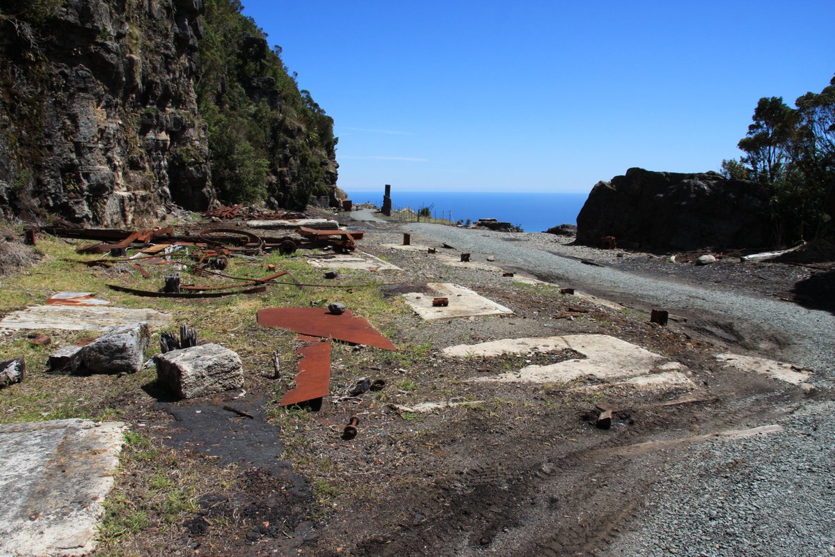
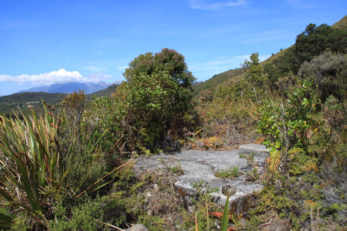
Where was that last photo taken from? High on the Rochfort Plateau at Denniston. It was once a significant mining town. Here are two aerial photos from the Nelson Provincial Museum (photo ref. nos 325551 and 325552).
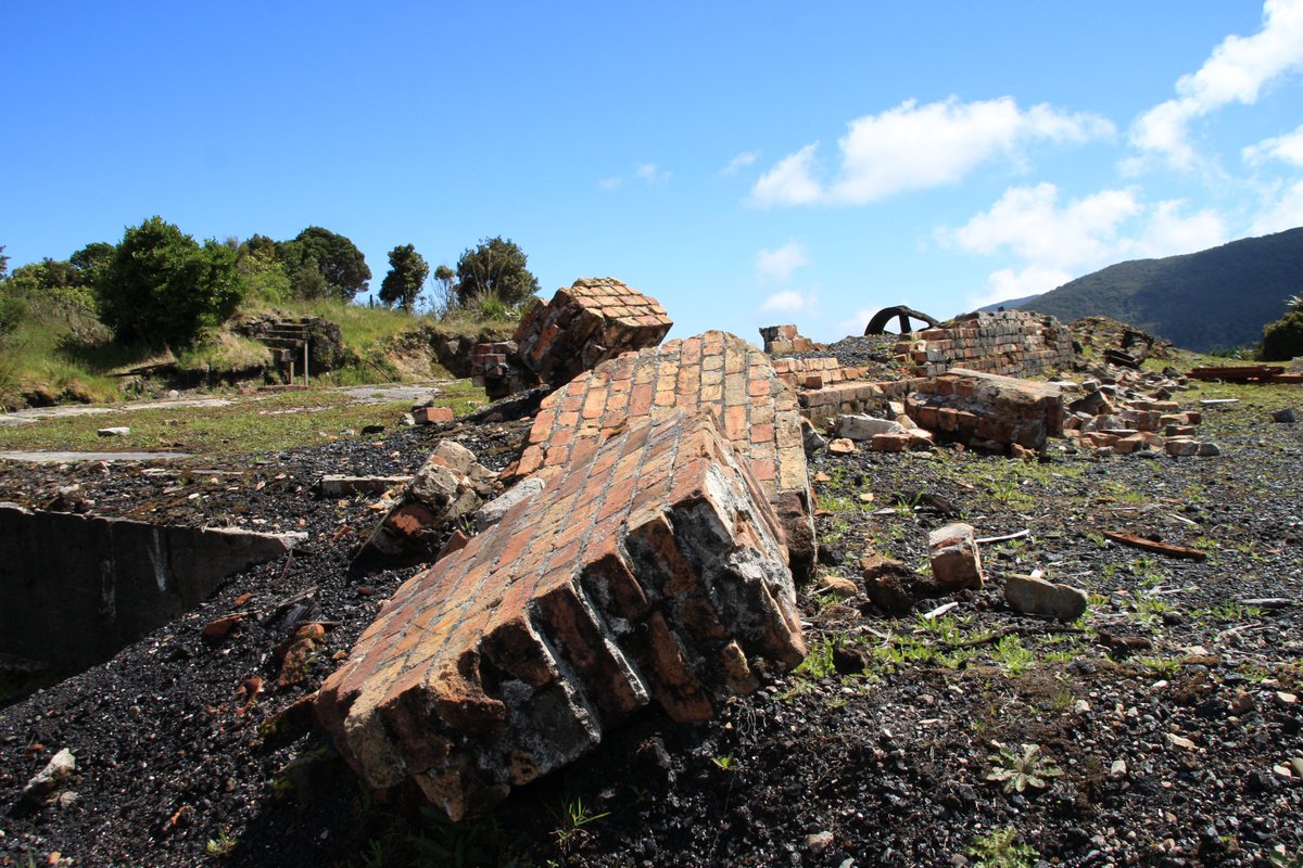
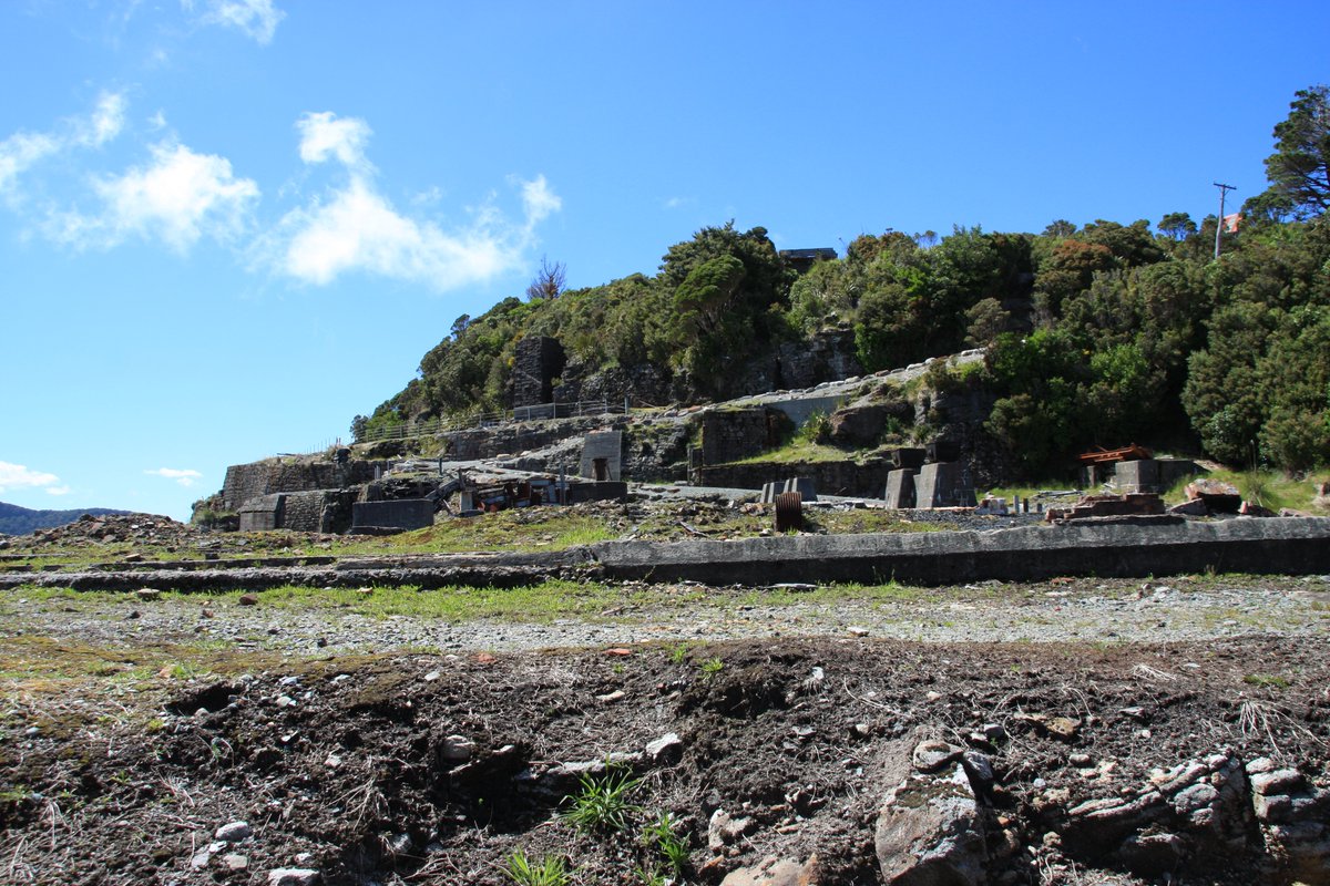
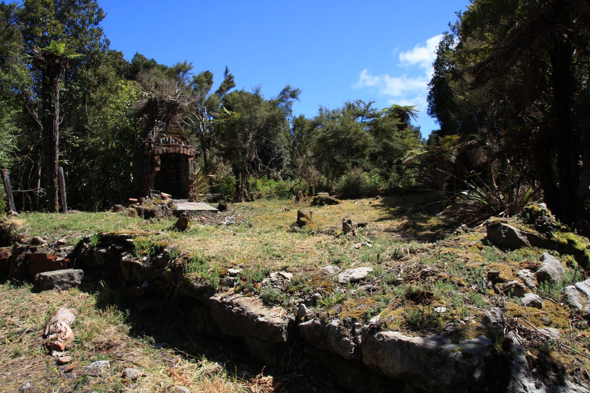
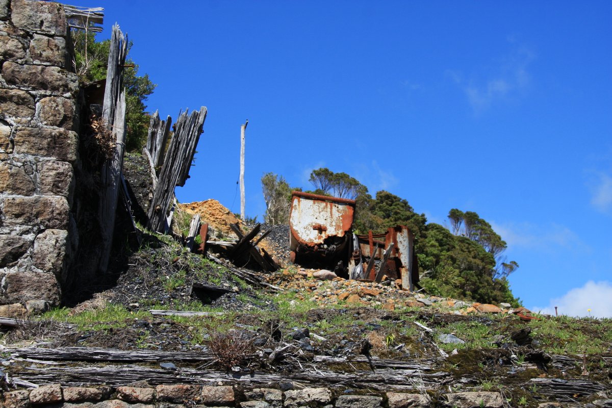
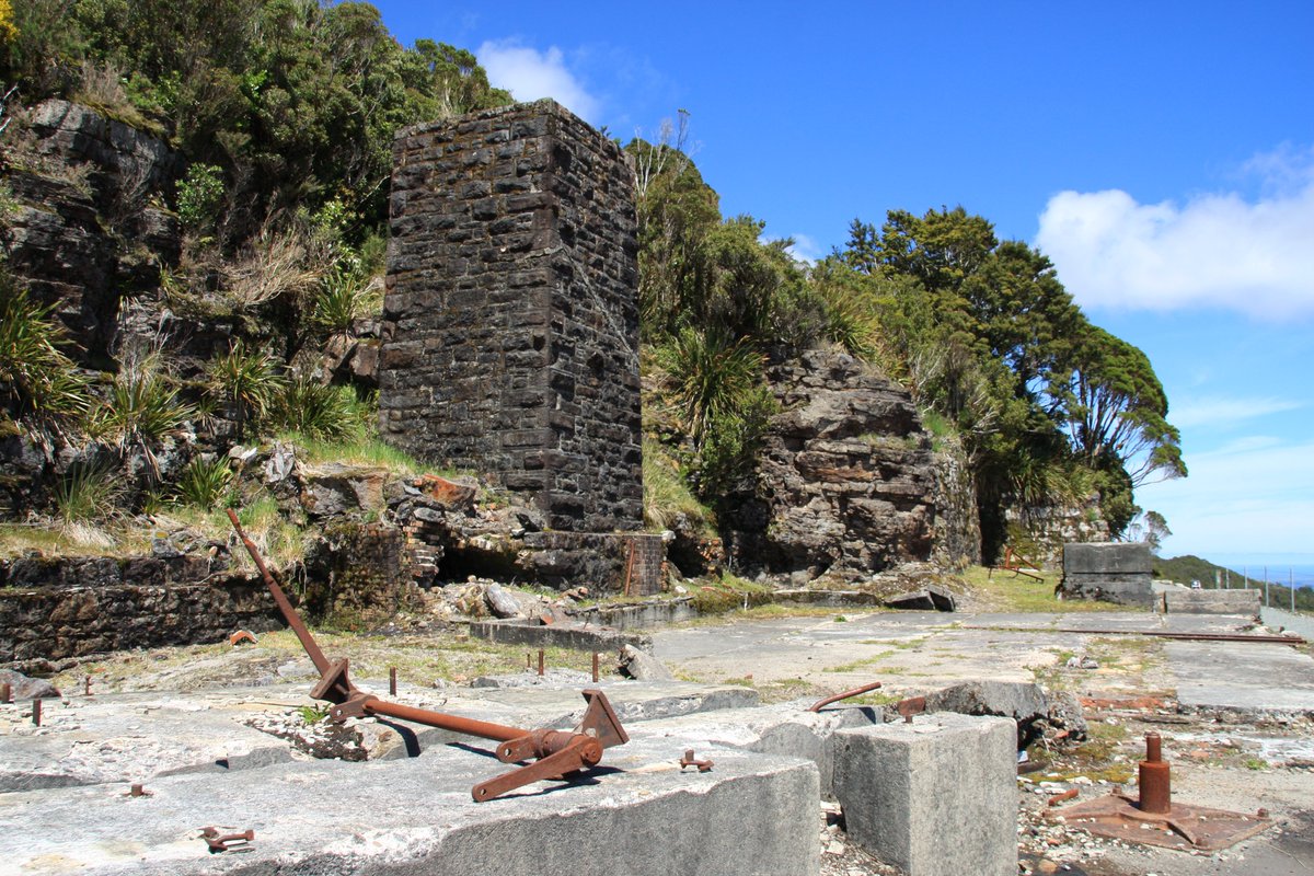
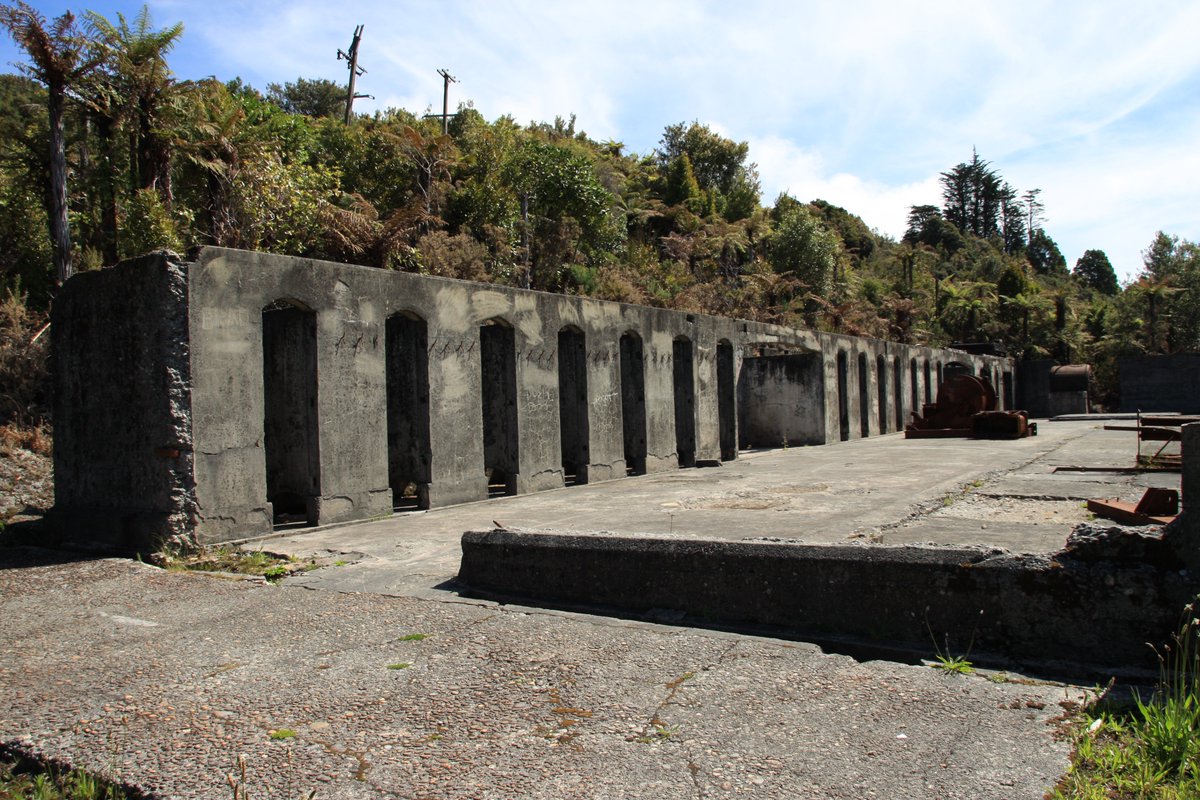
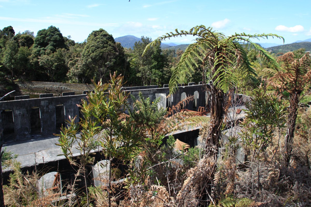
At its peak, over 900 people lived in Denniston in 1926 and more in nearby mining villages. Relics of the former buildings abound.
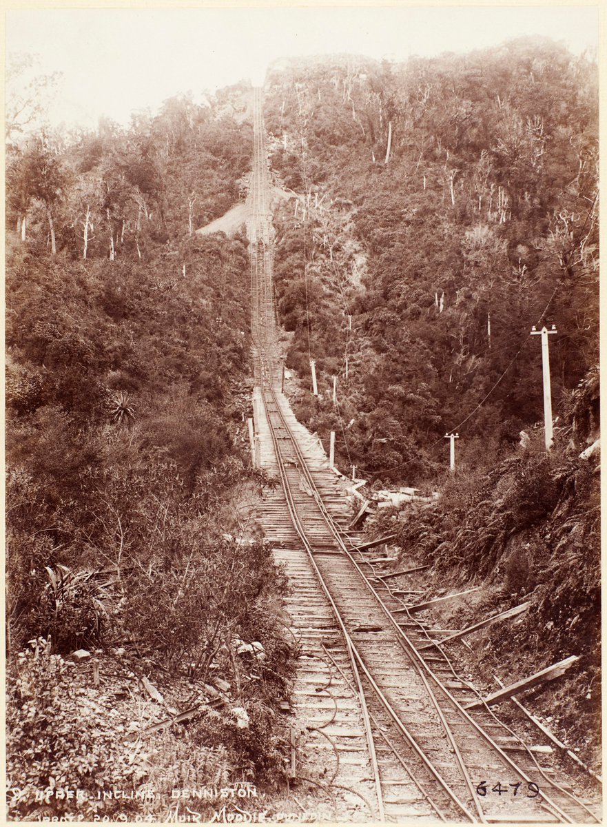
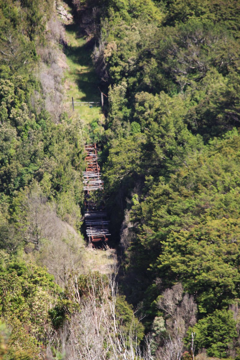
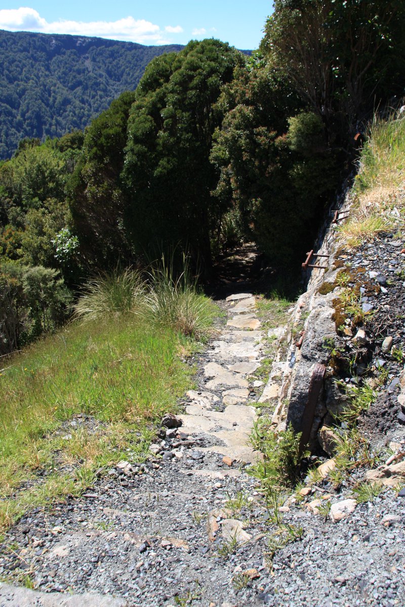
The "eighth wonder of the world" lured me to Denniston: a precipitous rope incline that carried coal wagons between the Denniston mines and the railway 518m below at Conns Creek. It ran 1879–1967. Two pics c.1900s: full incline (NLNZ 1/4-055918-G); upper part (Te Papa O.036708).
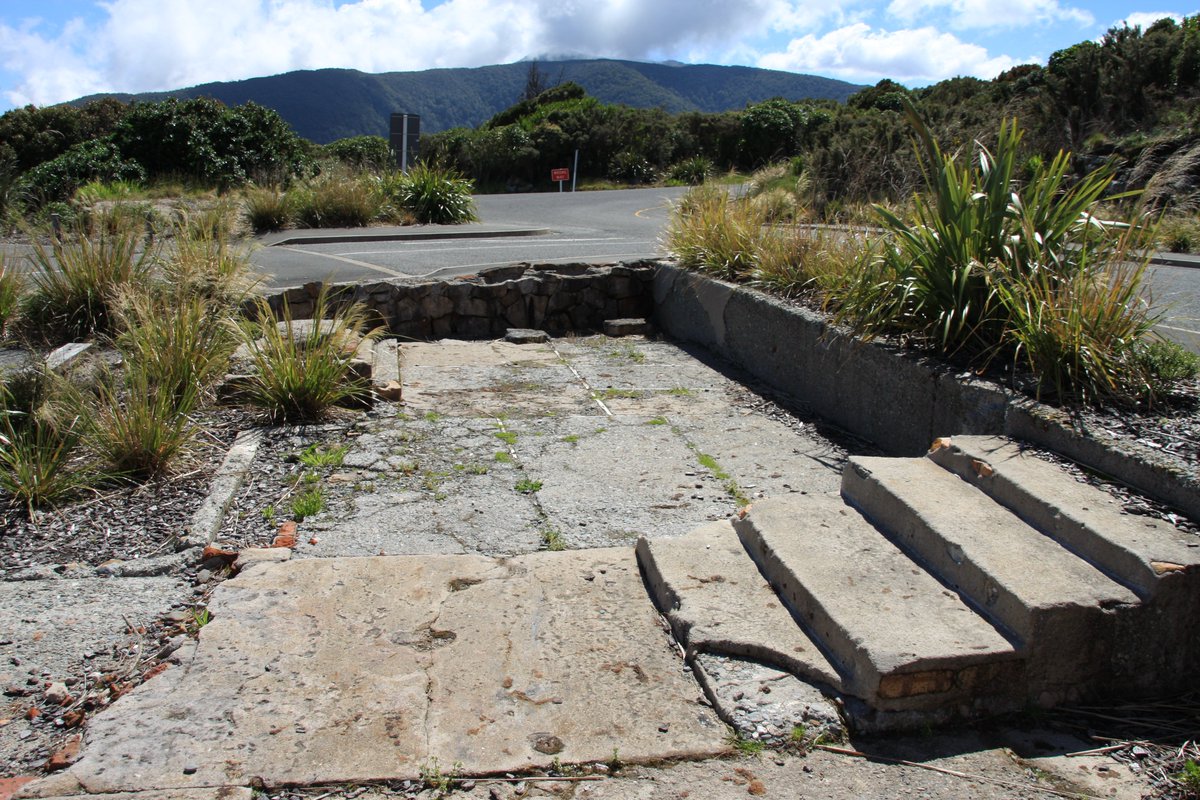
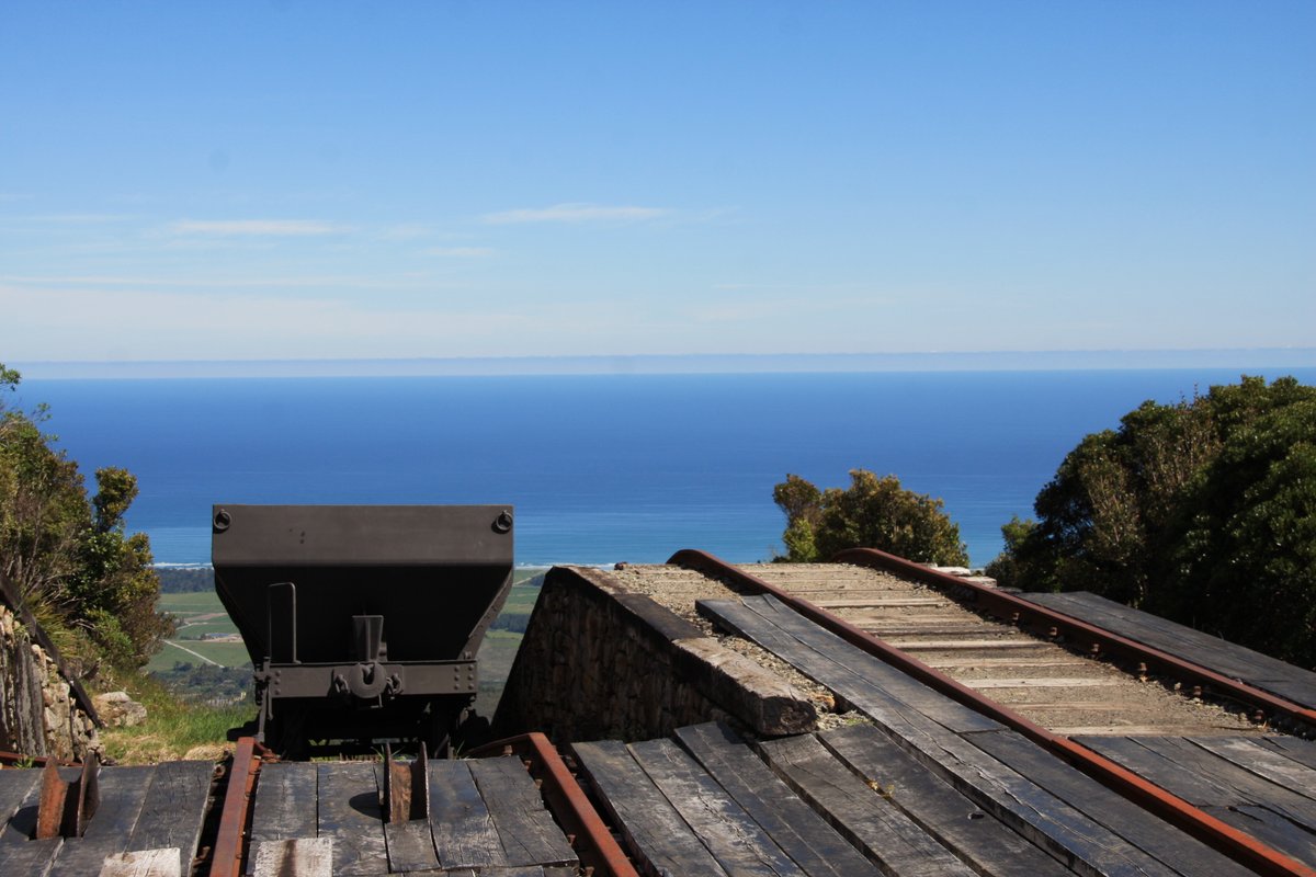
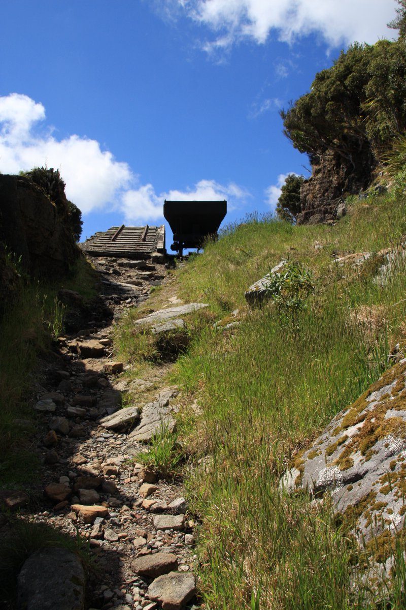
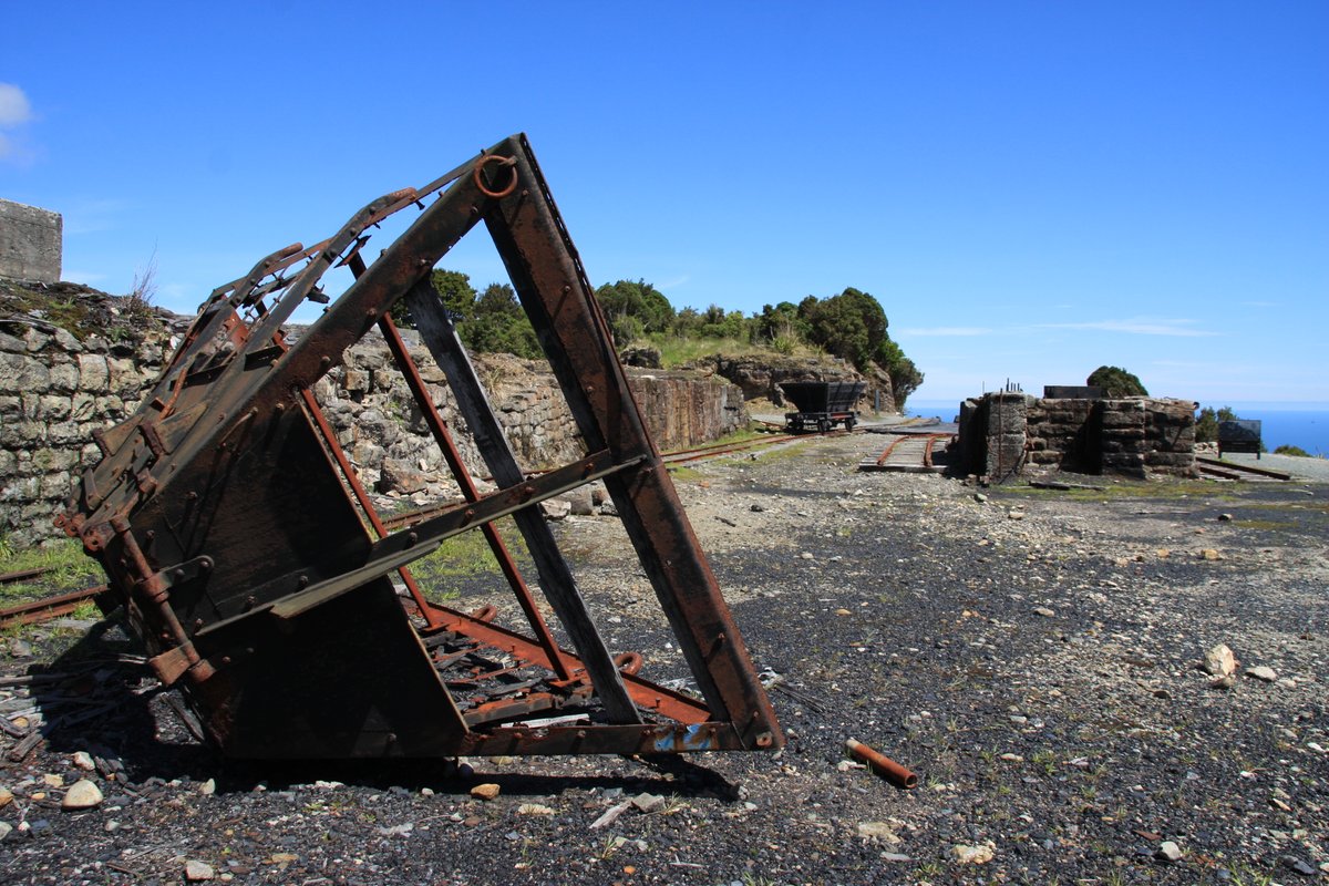
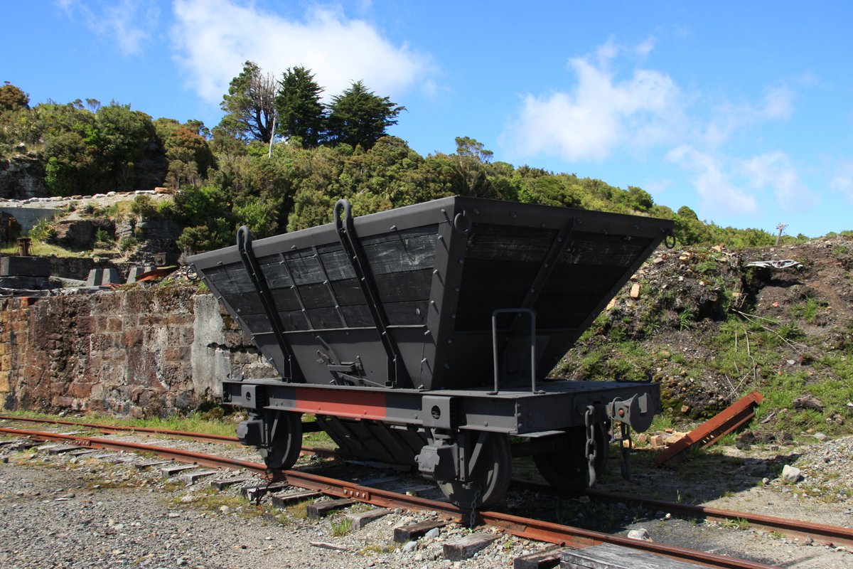
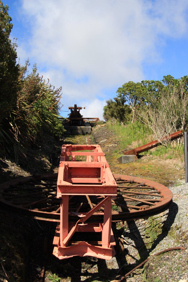
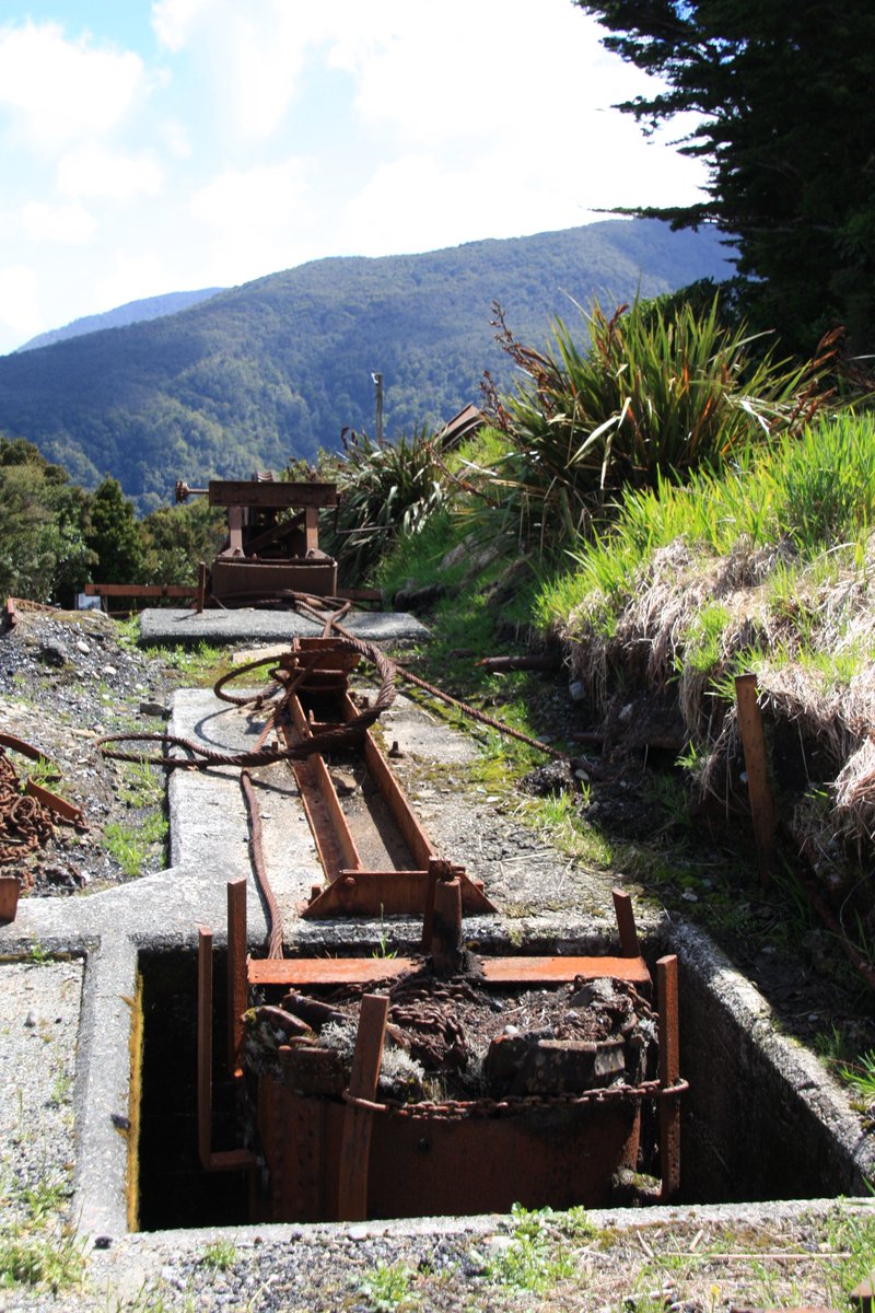
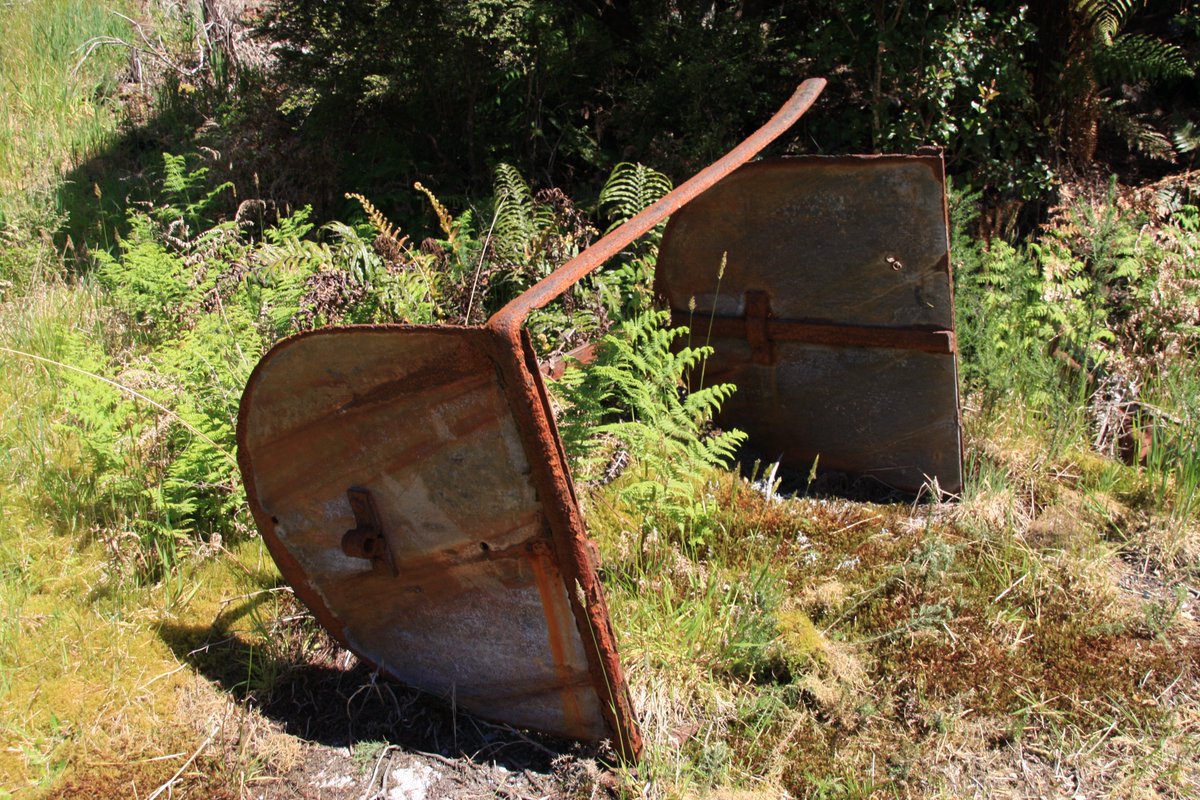
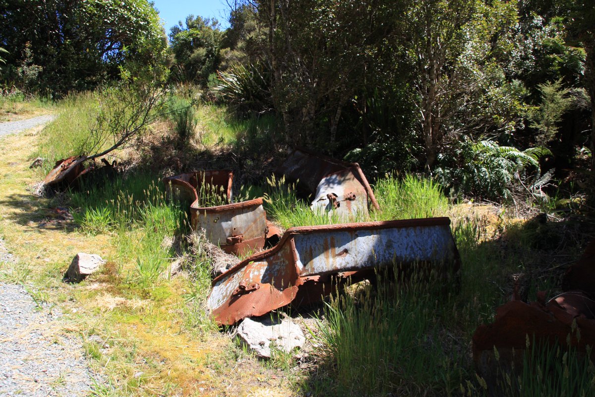
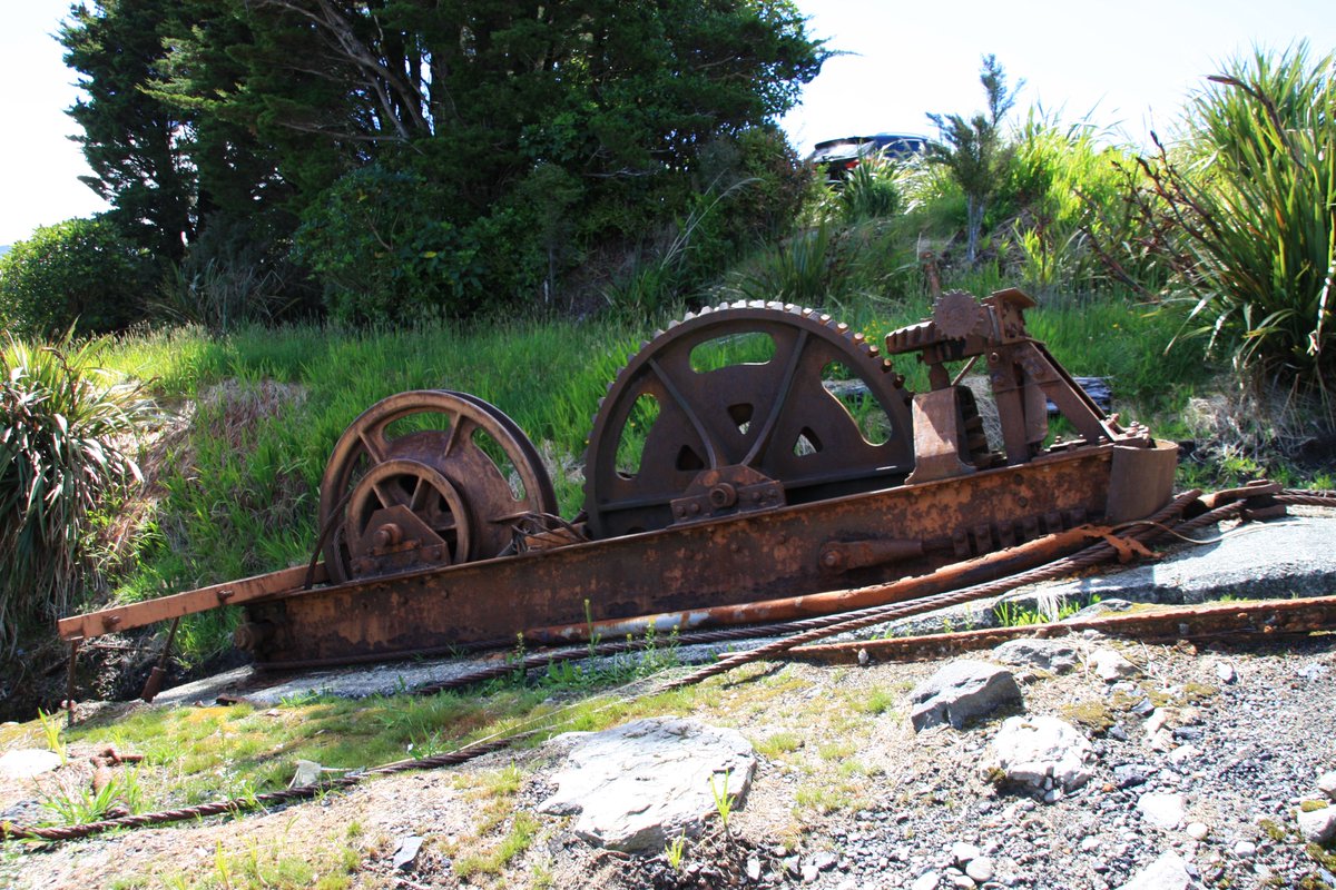
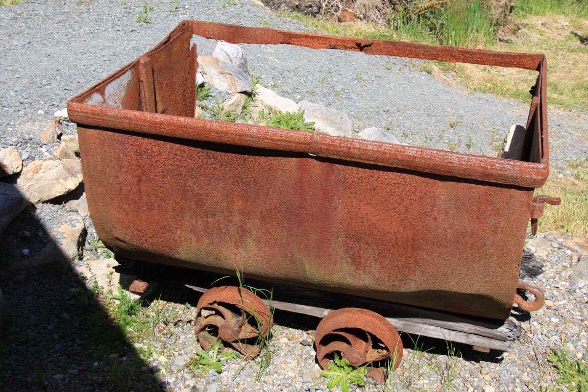
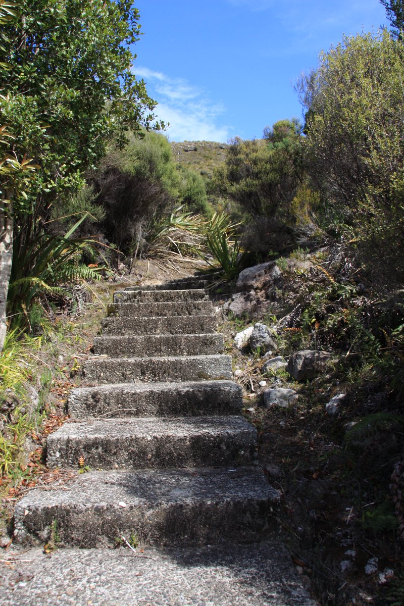
The Department of Conservation has taken some care with the brakehead at the top of the incline. Many Q-class coal wagons were left here when mining ceased, and survive in varying conditions.
Right, let& #39;s go!
On second thoughts, not sure the old incline is safe any more... if it ever was for human cargo. It did once carry people—dead people! If you died in Denniston your last trip was down the incline for burial in Waimangaroa.
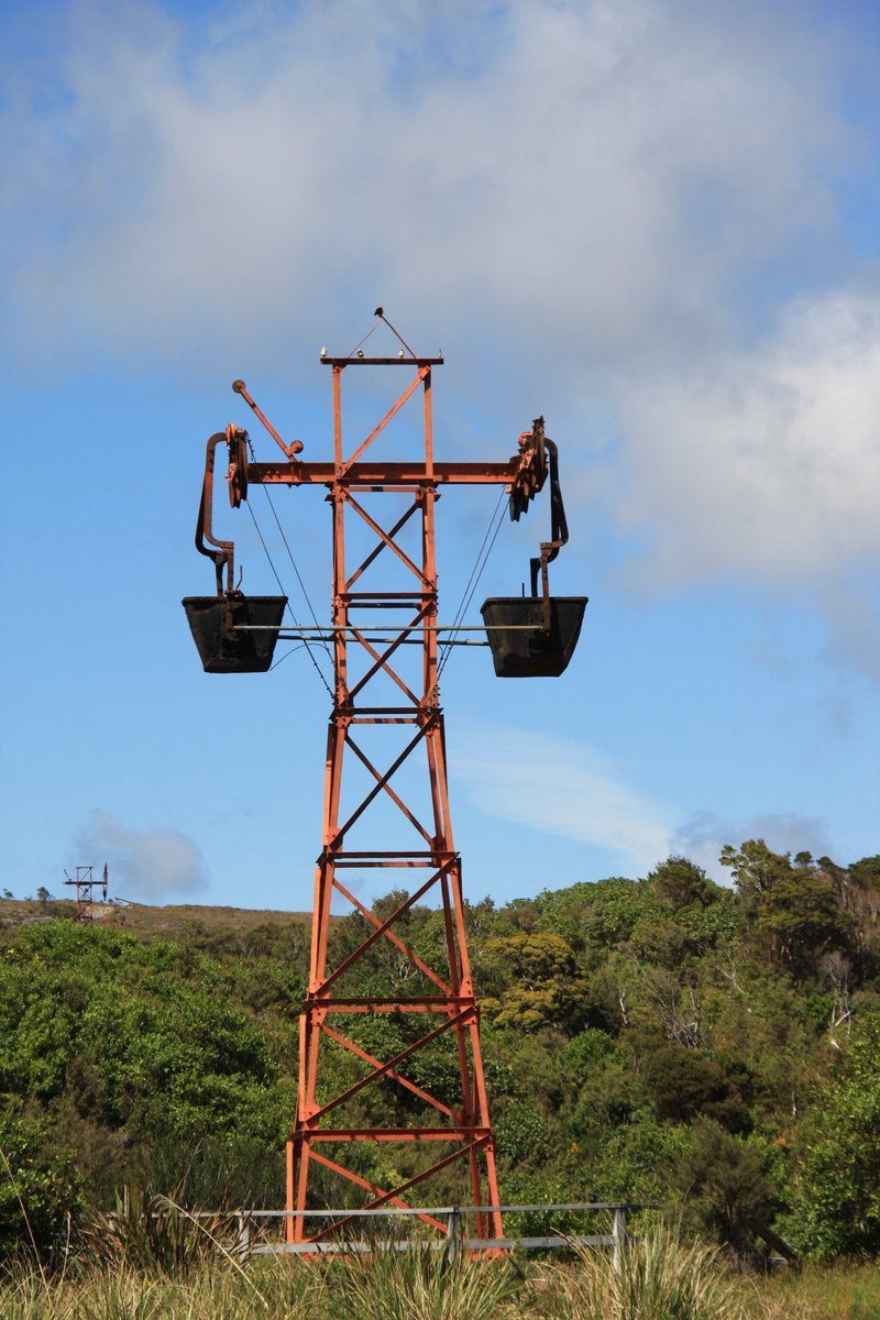
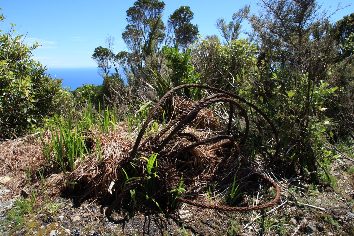
Remnants of the aerial ropeway that brought coal to the brakehead from mines further inland between 1954 and 1968.
The more you look, the more you find.
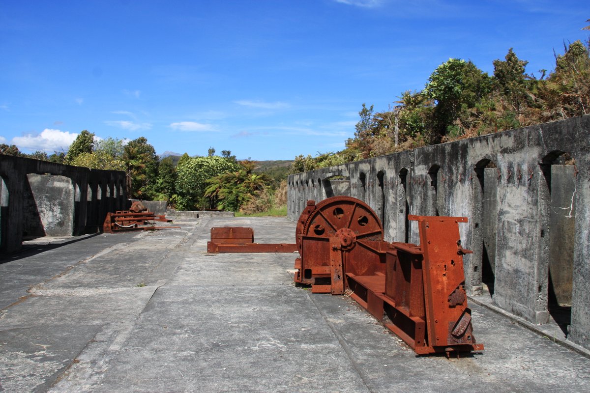
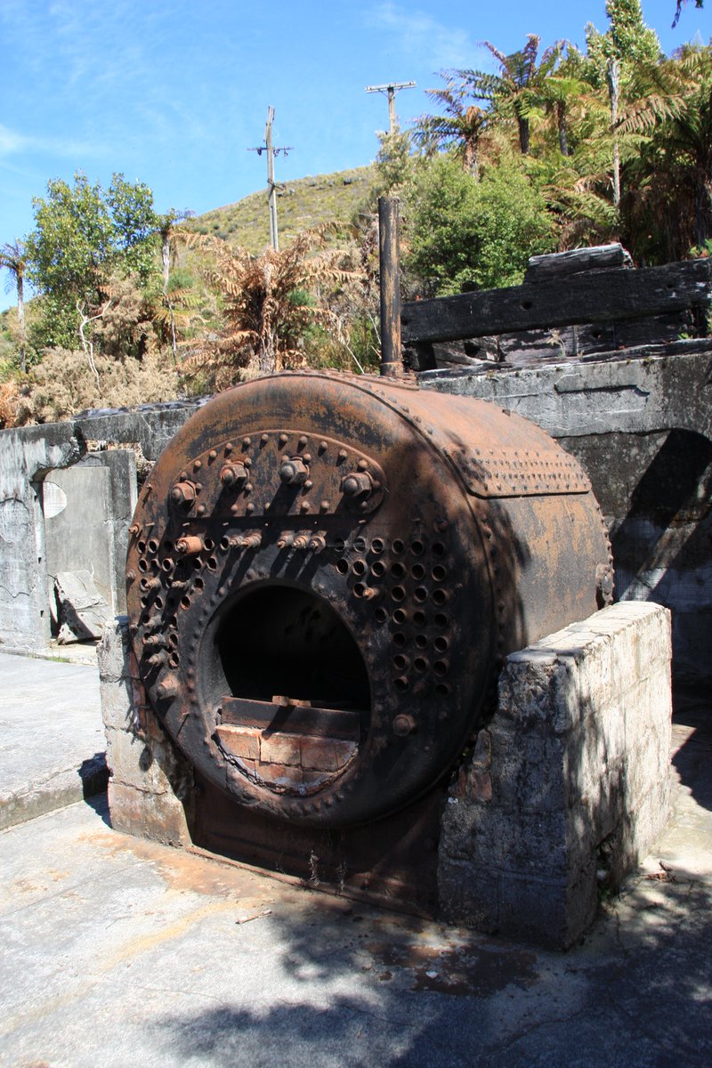
(First pic is the remains of the old haulage and power house; it pulled an endless rope that carried coal tubs from distant mines.)
(First pic is the remains of the old haulage and power house; it pulled an endless rope that carried coal tubs from distant mines.)
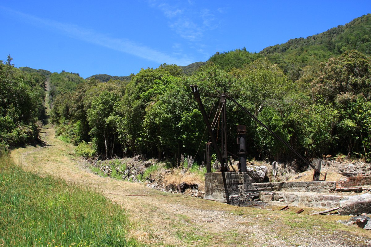
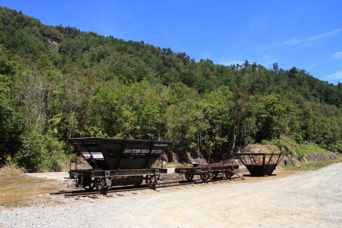
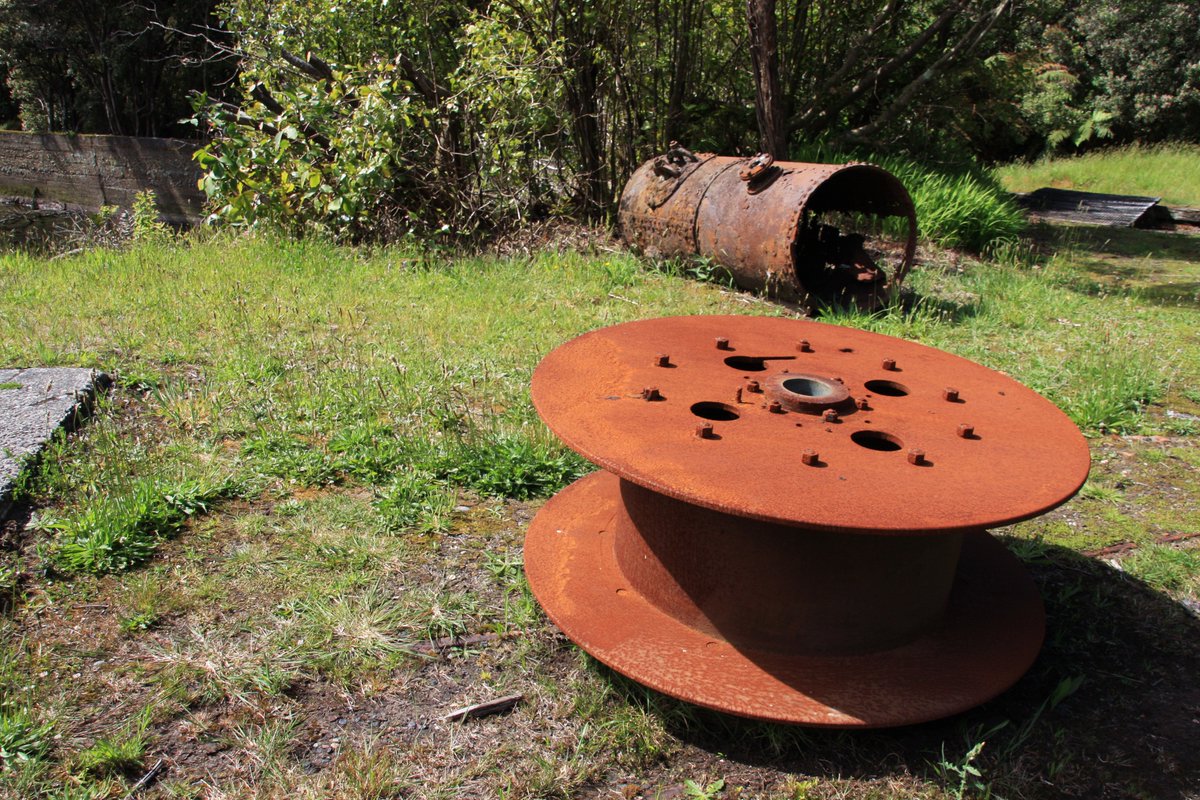
What& #39;s left down the bottom of the hill? Well, let& #39;s have a look. A couple of wagons remain at the old Conns Creek yard and the path of the incline up the hill is really visible.
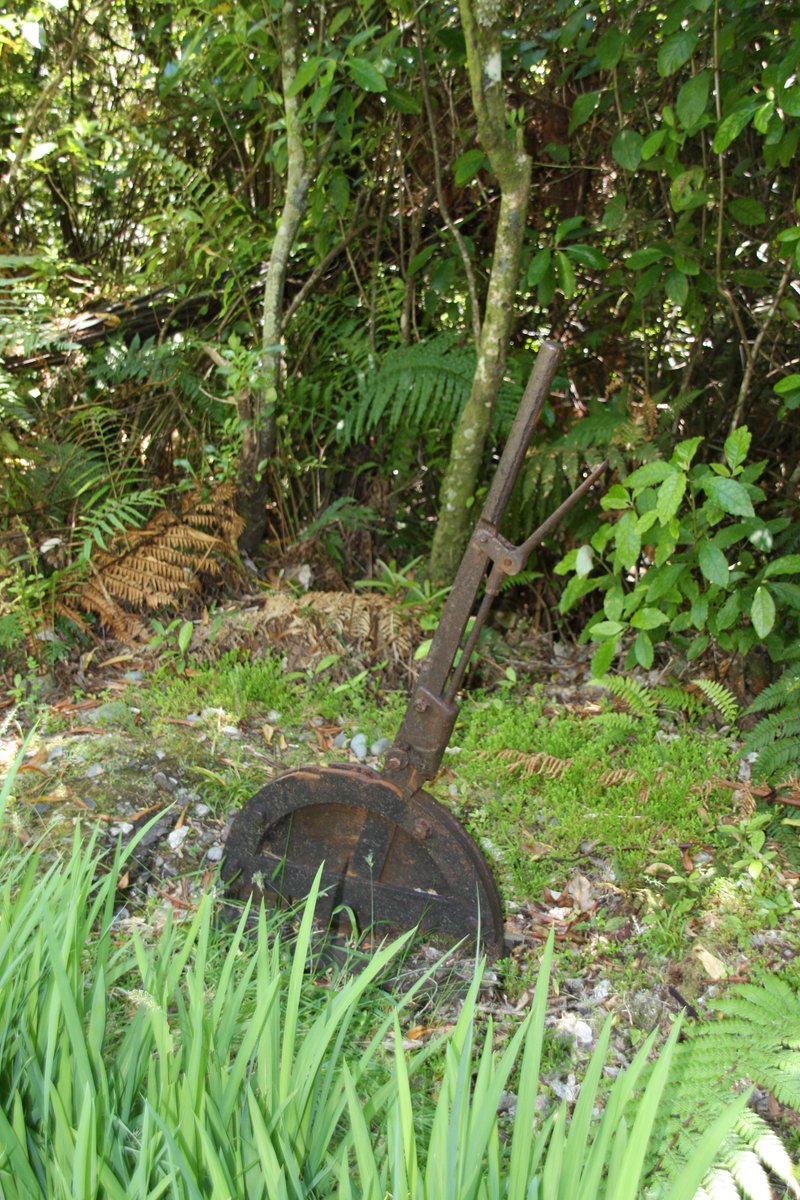
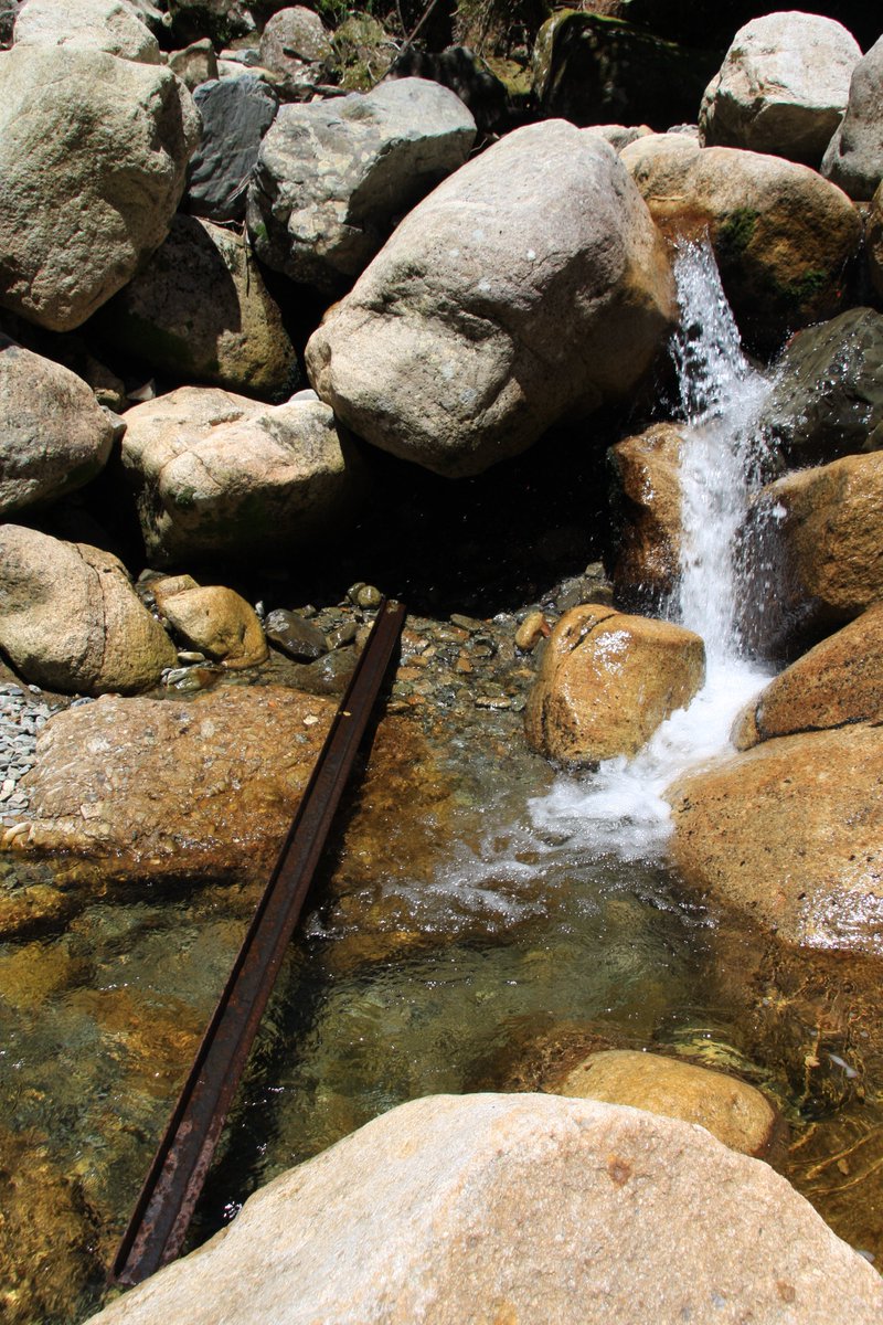
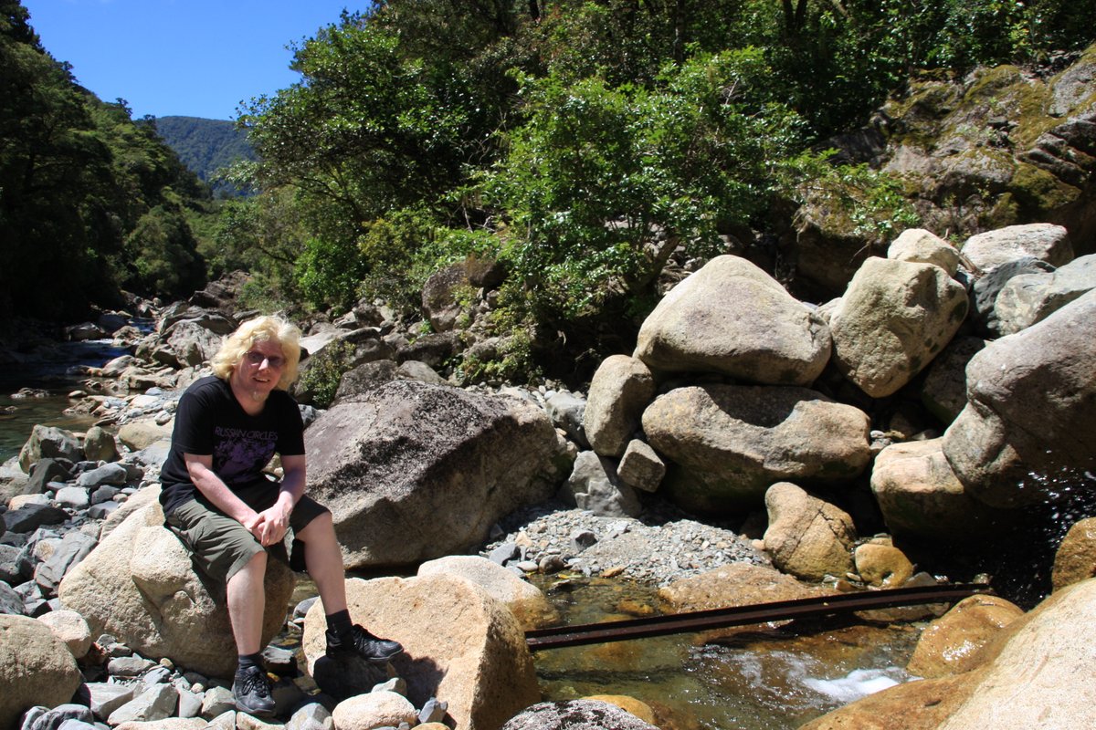
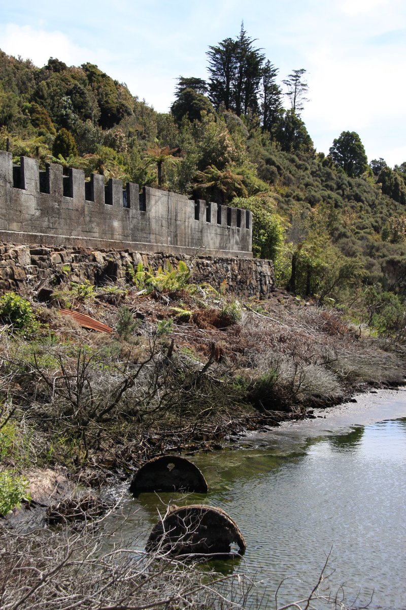
If you poke around in the bush and down by the creek, you& #39;ll find even more relics.
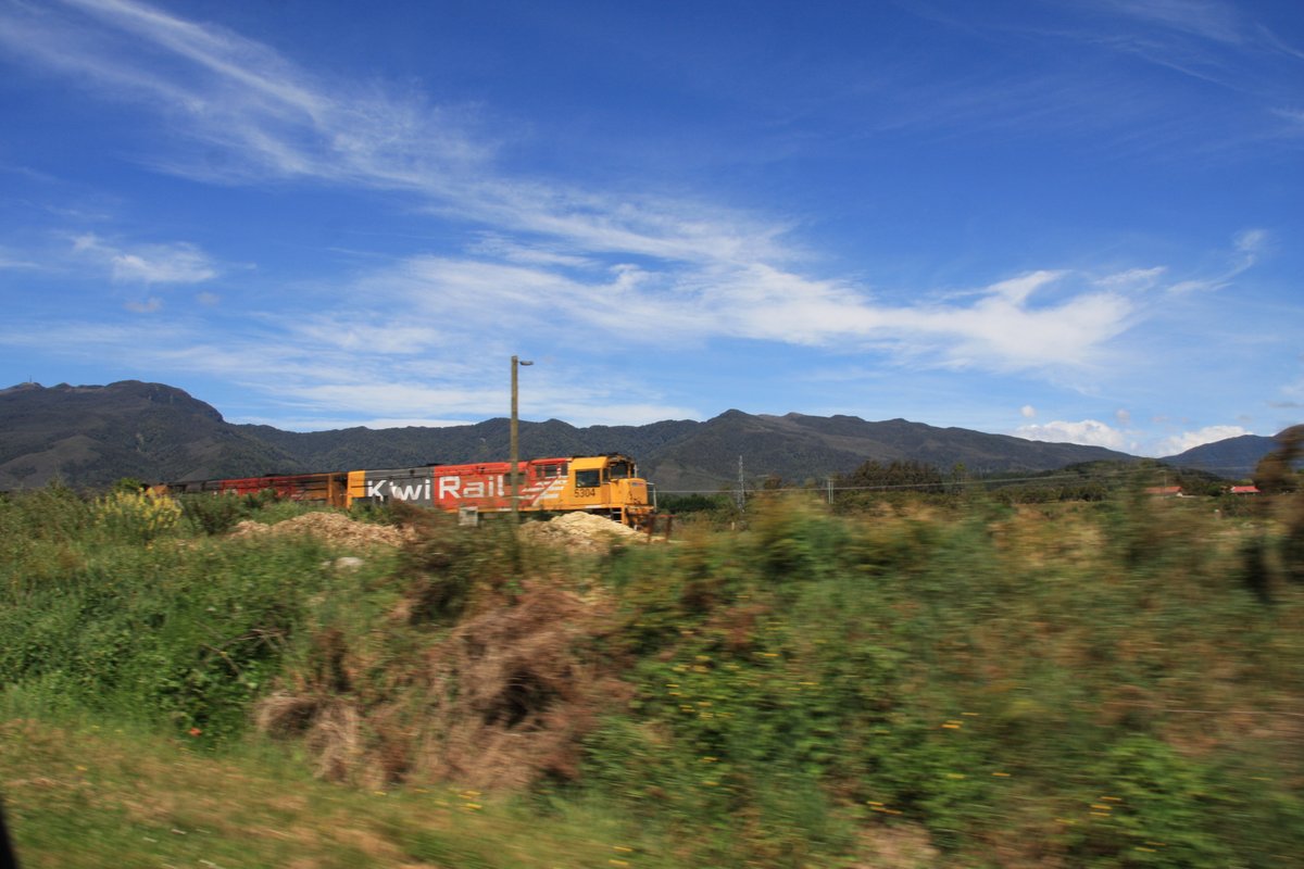
A real train! Quick, where& #39;s the camera! A frantic snap from the car of DX-class engines 5304 and 5477 pulling a coal train south between Ngākawau and Granity.
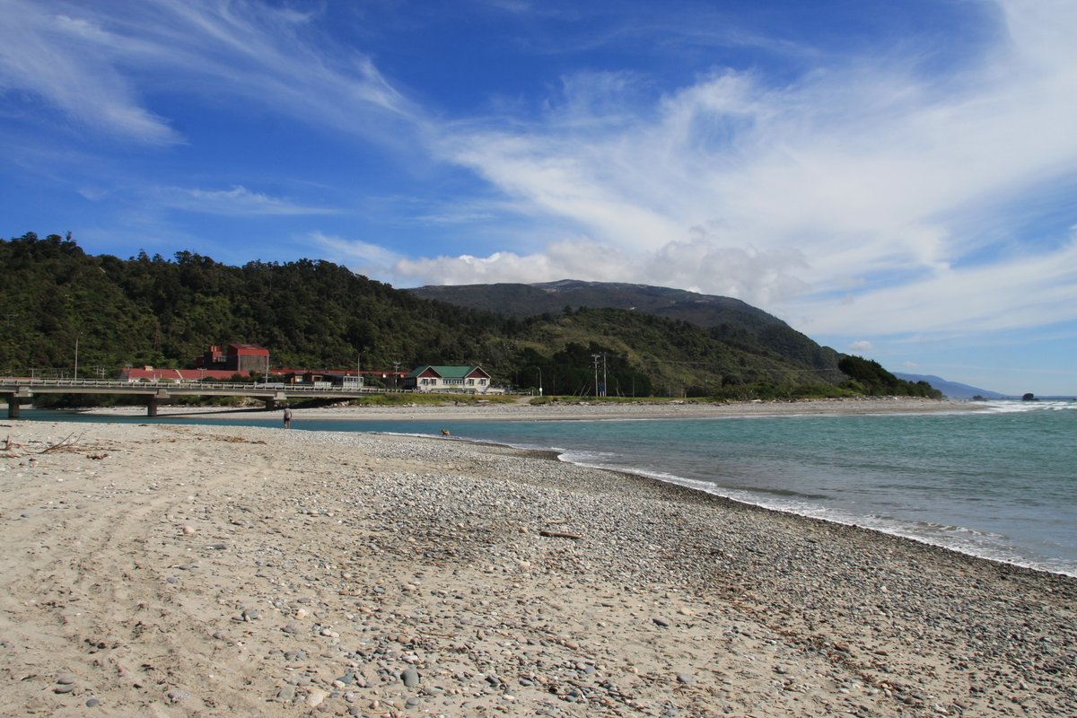
Time for a break at the mouth of the Ngākawau River. These two pics are from the village of Ngākawau on the south side of the river& #39;s mouth.
On the north side of the Ngākawau River is the village of Hector, named for the celebrated scientist James Hector. It has adopted the Hector& #39;s dolphin, the only cetacean endemic to New Zealand.
The view from Hector across to Ngākawau. You can see at left the large facility for loading coal onto trains—still the main economic activity around these parts, and there needs to be strong planning for how these communities adapt to a low-carbon future.
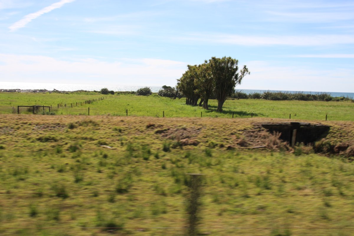
The railway used to run north of Ngākawau to Seddonville. You can still see traces of the old line between state highway 67 and the ocean. I didn& #39;t actually get out to take photos so you& #39;ll have to settle for blurry images of the old formation and culverts taken from the car.
I thought this thread was going to be a really quick swing through Buller but the more I dig into my photos the more I realise how much I packed into my visit in November 2013. So I hope you& #39;ve enjoyed this first leg—more to come shortly!
Alrighty, let& #39;s head on up to Millerton in the hills behind Granity. Denniston is Buller& #39;s most famous abandoned mining village, but Millerton is just as worth a visit, maybe even more so.
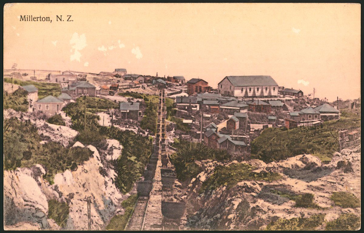
Back in the day, Millerton had a narrow gauge (2-foot) rope incline to get the coal down to the main railway line (3& #39;6" gauge). I love this postcard of Millerton from c.1910, as I& #39;m sure @LemuelLyes will! Hopefully the rest of you do, too. Source is NLNZ Eph-A-Postcards-Jones-03.
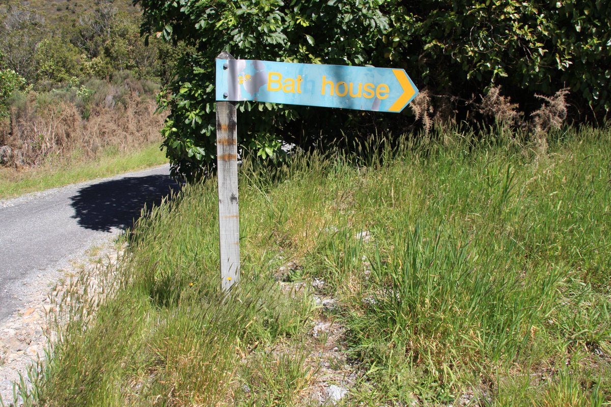
Coal was mined at Millerton from 1896 until the late 1960s. What& #39;s left today? Let& #39;s follow the sign to the bat house...
...of course, if you looked closely, you& #39;d have realised that should say bath house. Mining is dirty work, after all.
I wish I& #39;d had more time to explore Millerton—there is more to see than what I uncovered, including old tunnels.
Time to go back inland. I was very keen to visit the Mōkihinui valley beyond Seddonville, and not just because this is one end of a lengthy mountain track called the Old Ghost Road!
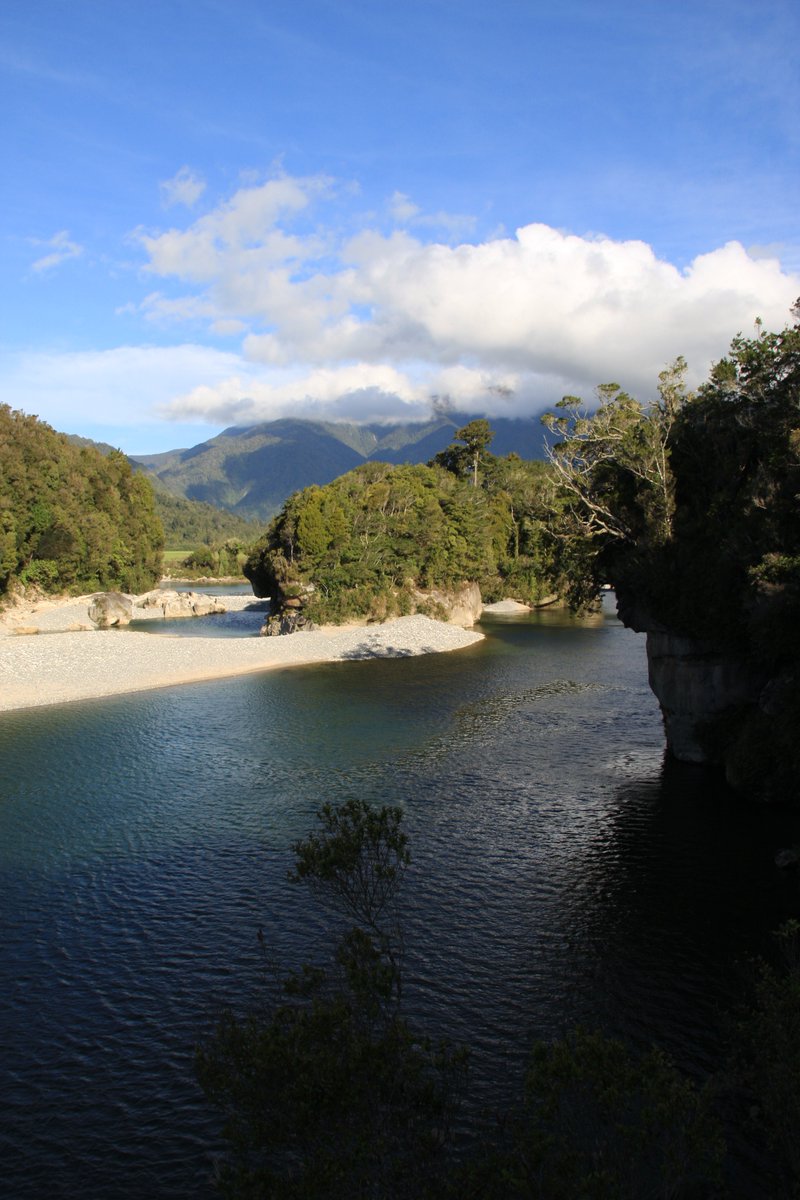
Meridian Energy got resource consents to dam the Mōkihinui River in 2010 but cancelled the scheme in 2012 after vociferous opposition. Lest the proposal be revived, I went 3km beyond Seddonville, roughly where the dam was to be, and walked for as long as my limited time allowed.
This is Seddonville. It is named for New Zealand& #39;s longest serving prime minister, Richard Seddon, a West Coaster. Until 1981, it was the terminus of the railway north of Ngākawau. It& #39;s a very small and quiet village now...!
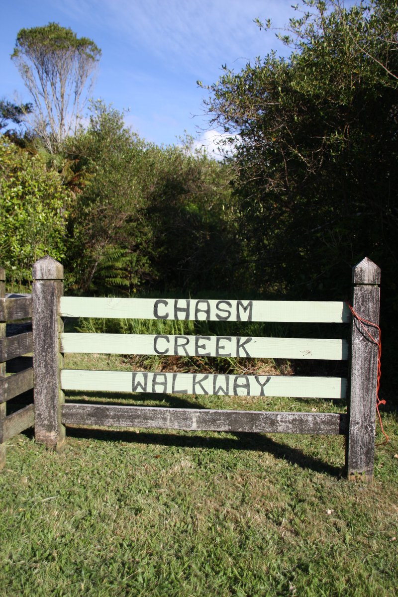
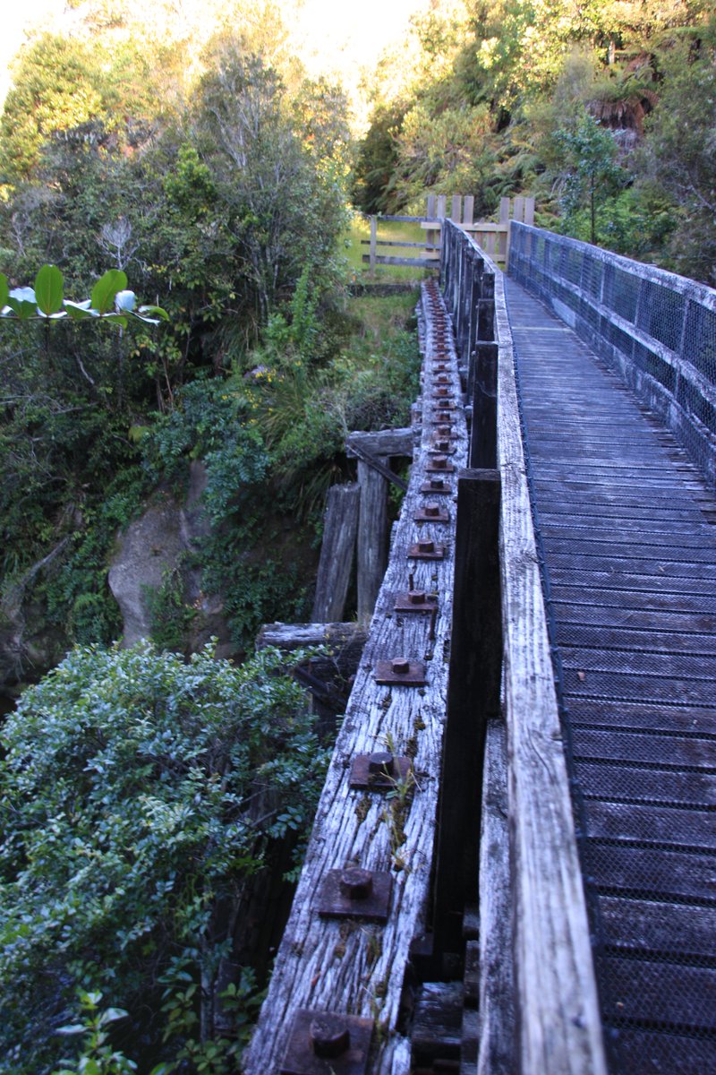
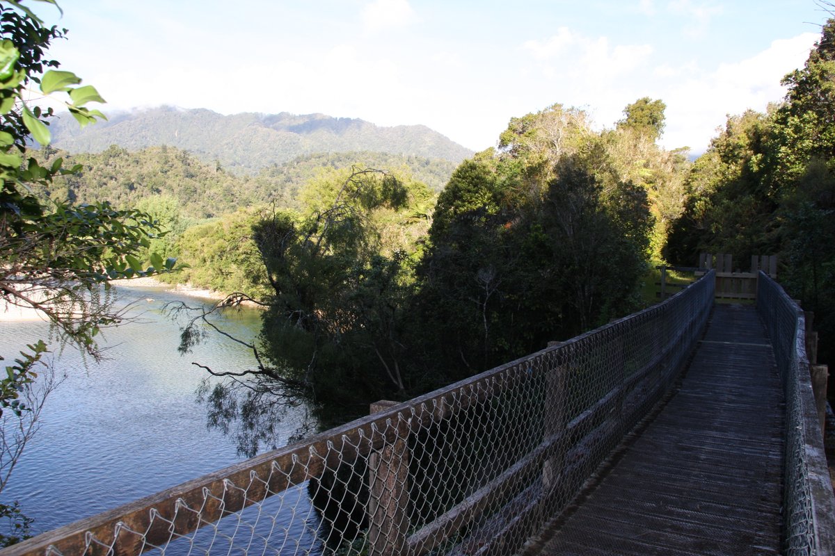
The good news is that you can walk some of the old railway: follow the Chasm Creek Walkway beside the Mōkihinui River. (Not to be confused with the much longer Charming Creek Walkway inland from Ngākawau, which follows an old bush tramway.)
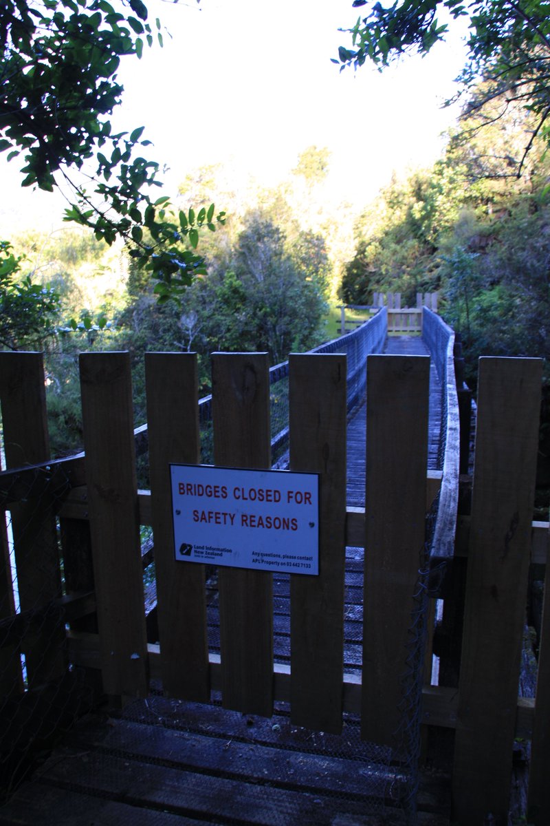
The Chasm Creek Walkway is only about 20 minutes long—alas, I couldn& #39;t actually do the whole thing because the bridge was closed temporarily (a footbridge erected on the old railway bridge).
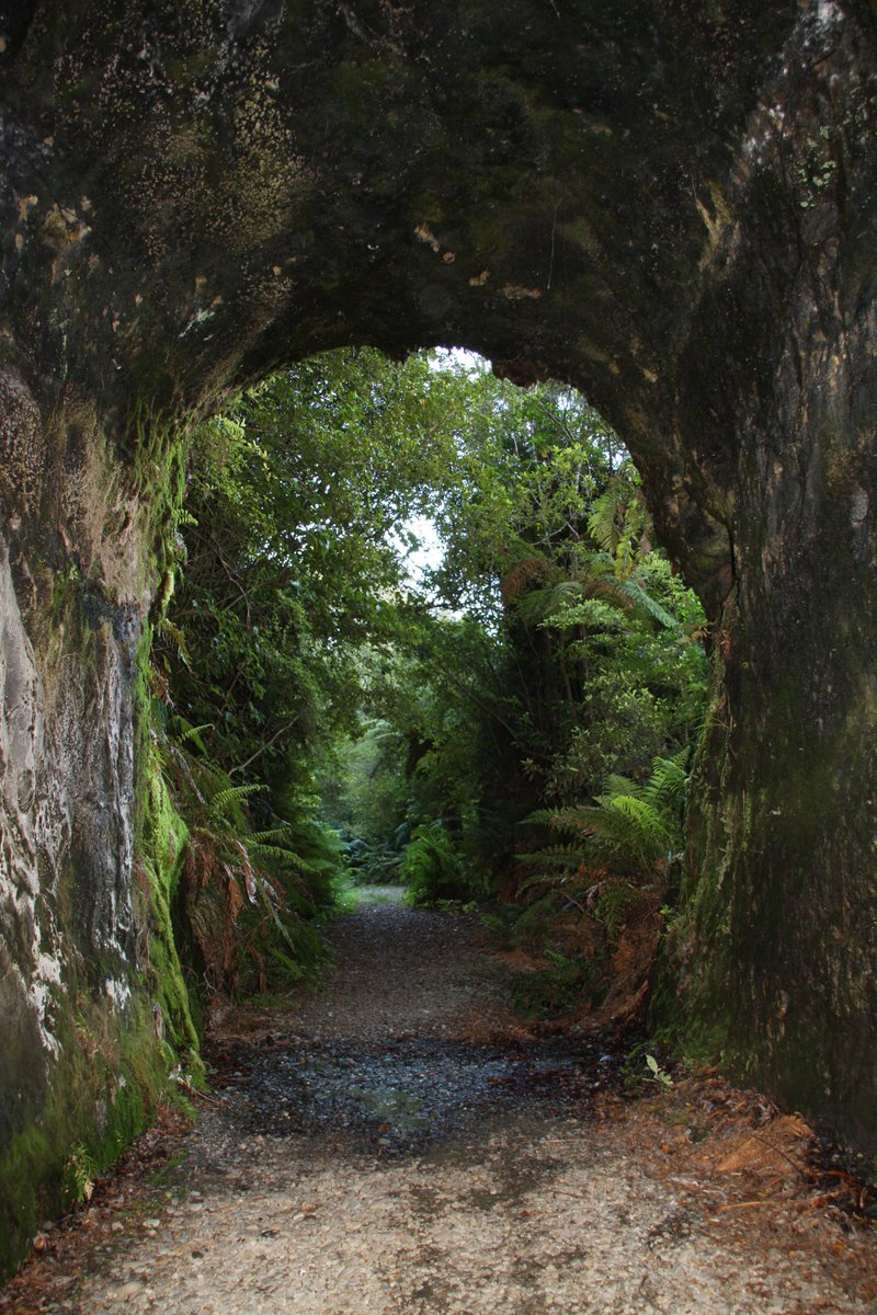
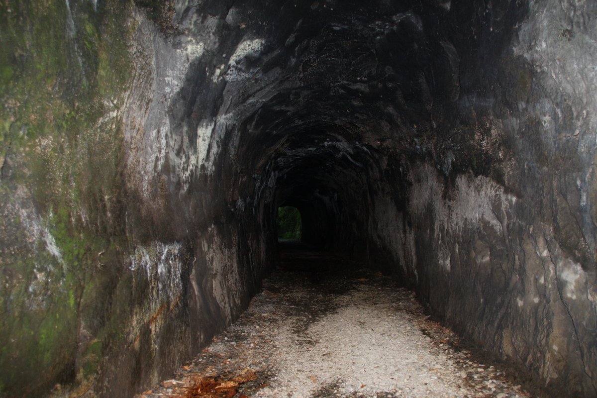
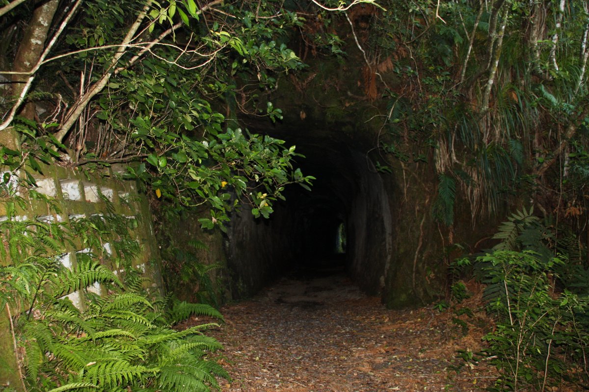
All was not lost though, because I had already walked through the highlight of the walkway: the old railway tunnel!
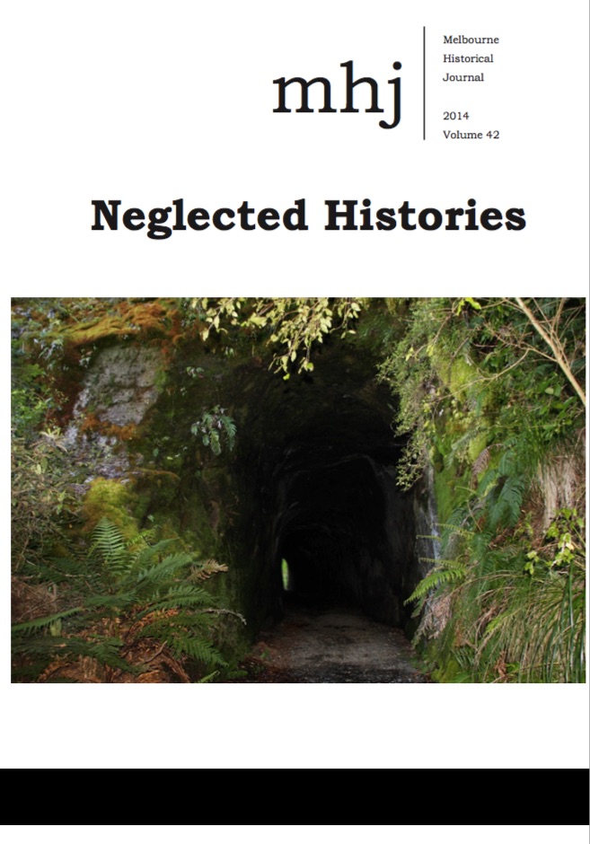
I think I& #39;ll call it a day here. If you happen to have a copy of the Melbourne Historical Journal vol.42 (2014), perhaps the previous tweet sparked your memory of the cover. I somehow persuaded the collective to let me put an old railway photo from Chasm Creek on the cover!

 Read on Twitter