A century ago, Yaba was the very outskirts of Lagos. That& #39;s why the colonial govt established Infectious Diseases Hospital (IDH) and Yaba Lunatic Asylum (as it was then called) there. Far from human habitation.
Urban Lagos at the time was Lagos & Iddo Islands, & Ebute Metta
Urban Lagos at the time was Lagos & Iddo Islands, & Ebute Metta
Ikoyi didn& #39;t emerge until the 1920s, when the British overlords sought to create an & #39;apartheid& #39; township for themselves, away from the & #39;natives& #39;. There& #39;s a Township Ordinance of 1917 that sought to delineate Native Townships from the Govt Reservation Areas meant for Europeans.
I think we can safely say it was the Independence of Nigeria in 1960 that opened up VI. Before then, it was an assortment of fishing villages; its main landmarks were the then pristine Victoria Beach (Bar Beach) & Kuramo Beach, for those adventurous enough to visit from "Lagos".
In preparation for Nigeria& #39;s Independence, the Federal Palace Hotel was constructed on Victoria Island. Opened Sept 1960. Nigeria& #39;s Declaration of Independence was signed at Federal Palace& #39;s Main Boardroom, and on the night of Oct 1, the Ballroom hosted a GRAND Independence Ball
Alongside construction of Federal Palace Hotel, was a new bridge, named Independence Bridge, opened 1960. (That& #39;s the Bonny Camp bridge. The water beneath it is the Five Cowrie Creek, so-called because to cross it in the 19th century, canoes charged 5 cowrie shells per ride).
Another early modern-landmark on VI, apart from the swanky Federal Palace Hotel, and the Independence Bridge, was the LEGICO Flats (opposite Federal Palace). They were constructed to house 1st Republic Legislators, hence the name LEGICO - "Legislative Council" flats.
So, VI started developing as residential area early 1960s, coinciding with Nigeria& #39;s Independence. With a brand new 5-star hotel, Legislative quarters,and a new bridge link - not to forget two great Beaches (full of coconut trees) - the blossoming of VI was only a matter of time.
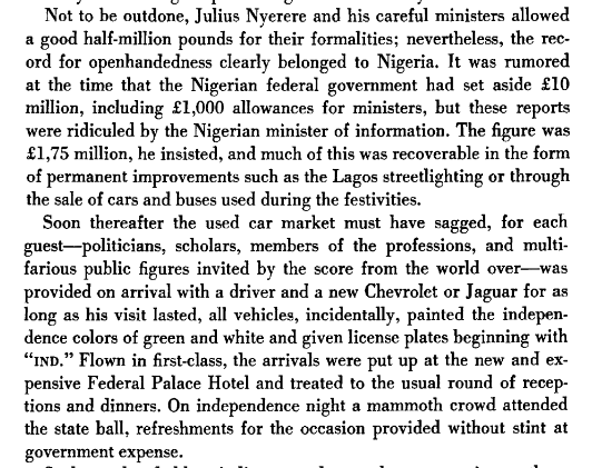
An aside of sorts: Independence Extravagance by newly-liberated African countries.
In 1960 Nigeria bought brand new Jaguars and Chevrolets to carry dignitaries and celebrities visiting for the Independence celebrations. Painted green-white, given & #39;IND& #39; license plates. Balling.
In 1960 Nigeria bought brand new Jaguars and Chevrolets to carry dignitaries and celebrities visiting for the Independence celebrations. Painted green-white, given & #39;IND& #39; license plates. Balling.
Back to VI. So, it appears to me that Victoria Beach (Bar Beach) pre the development of Victoria Island started from Bonny Camp area, and stretched the entire length of what& #39;s Ahmadu Bello Way today. Eaten up steadily over the years, last remaining bit now taken by Eko Atlantic.
So, Surulere. Surulere began to develop in 1950s. In 1956, a huge Slum Clearing was carried out on Lagos Island. The Displaced residents were offered alternative housing at two or so newly built estates in Surulere. They weren& #39;t happy, considered Surulere too far from the Island.
The estates were new, & had modern amenities like running water etc, & much better standards of living than the slums they& #39;d been displaced from on Lagos Island (Apongbon area, not sure). But Surulere was still remote at the time, and armed robbery was reportedly rife in the area
The Surulere Re-Housing Estates for the persons displaced from Lagos Island consisted of Phases 1 and 2, if I& #39;m correct - one was known as Obele Odan Housing Scheme and the other as Obele Oniwala Housing Scheme. This was in the late 1950s.
I should pick up on this thread.

 Read on Twitter


