Alright folks, since we& #39;re all cooped up for the long weekend, let& #39;s have a virtual roadtrip. I& #39;d like to take you to the rugged coast of the Wairarapa region in the southeastern corner of the North Island.
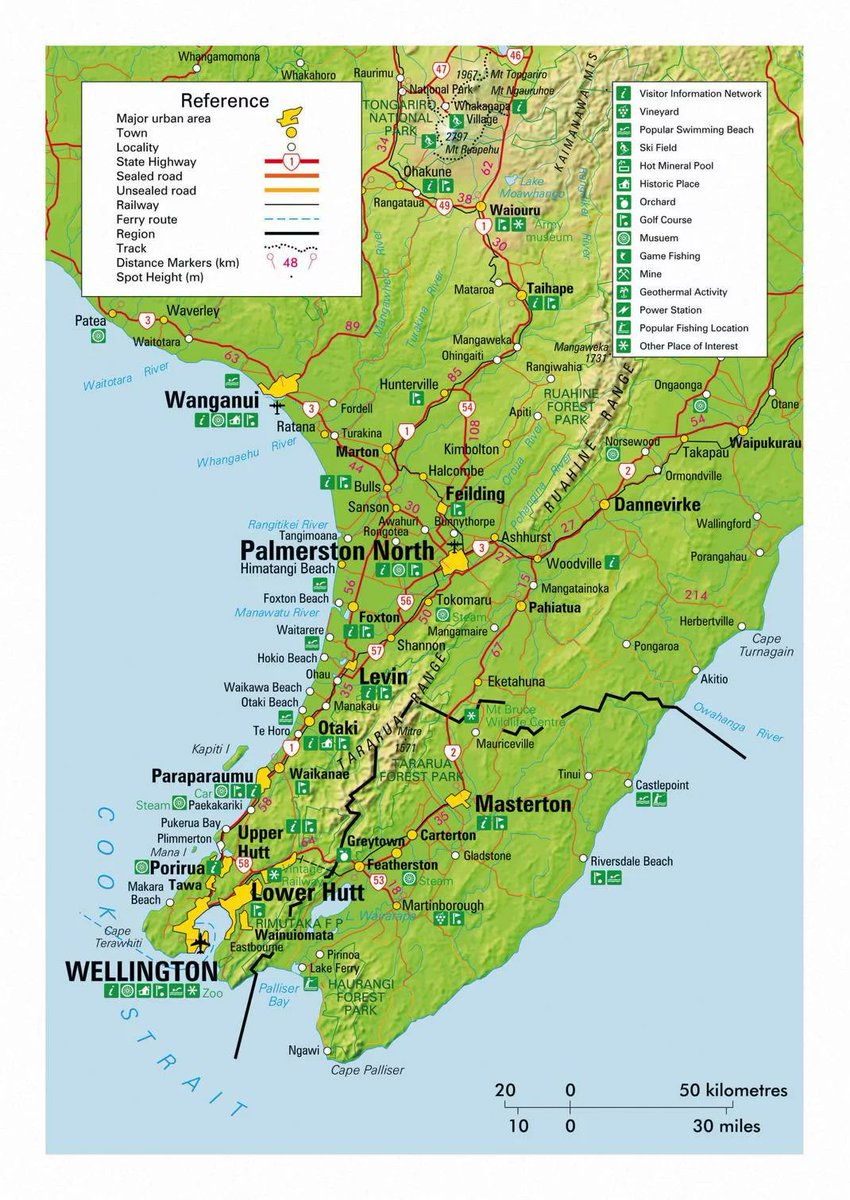
The Wairarapa& #39;s northern border is a bit blurry. The traditional line is from the Manawatū Gorge to Cape Turnagain. You can see the cape on this map; the gorge is between Ashhurst and Woodville. The map, though, has a more limited regional border that excludes Tararua district.
The region is near Wellington but the Remutaka Range is a formidable barrier. It has a light population: Masterton cracks 20,000, Carterton 5,000, nowhere else hits 3,000. Most residents live inland on the fertile plains of the rivers that drain into Lake Wairarapa.
I& #39;m fascinated by the Wairarapa& #39;s coast because of its isolation. It has no sheltered harbour and never developed any large communities. Getting to most coastal villages is an effort, and I& #39;ve not been to all of them. But here& #39;s a quick tour.
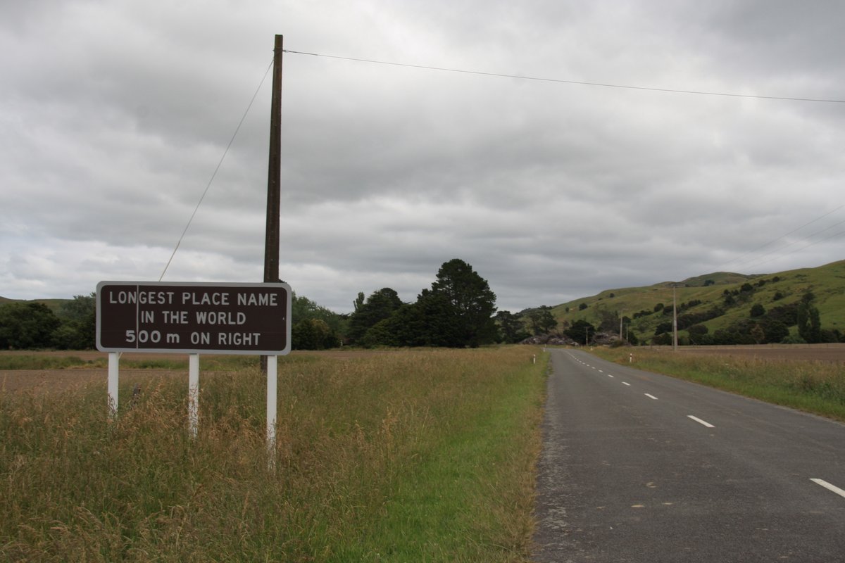
First, though, I& #39;m going to start just outside traditional bounds of the Wairarapa, in the southern Hawke& #39;s Bay region. On my way to the coast in 2011, I paid a visit to a particularly notable place...
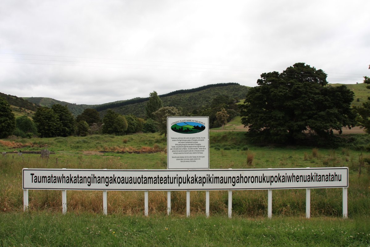
Welcome to Taumatawhakatangihangakōauauotamateaturipukakapikimaungahoronukupōkaiwhenuakitānatahu! If it weren& #39;t for the epic name you might not look twice.
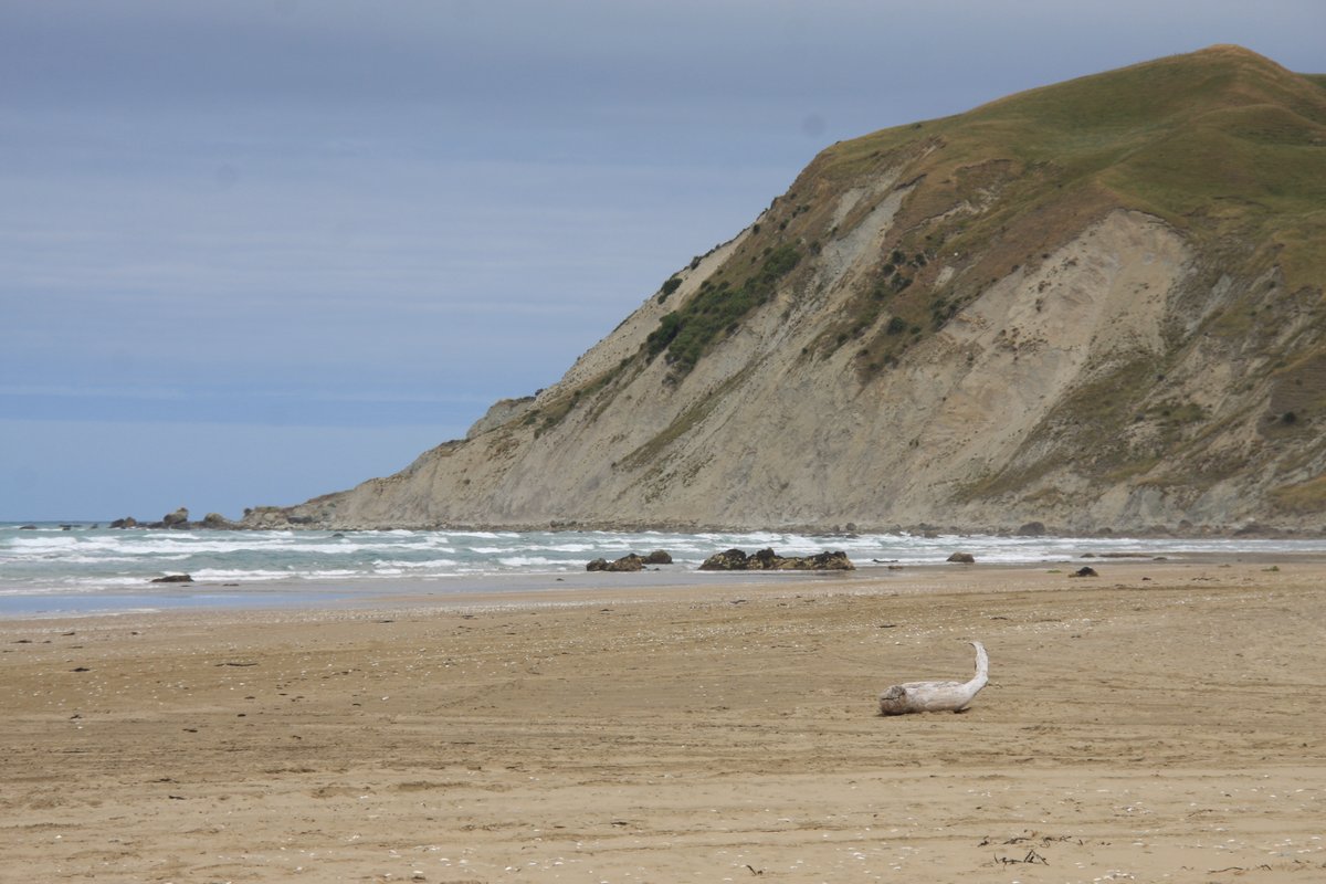
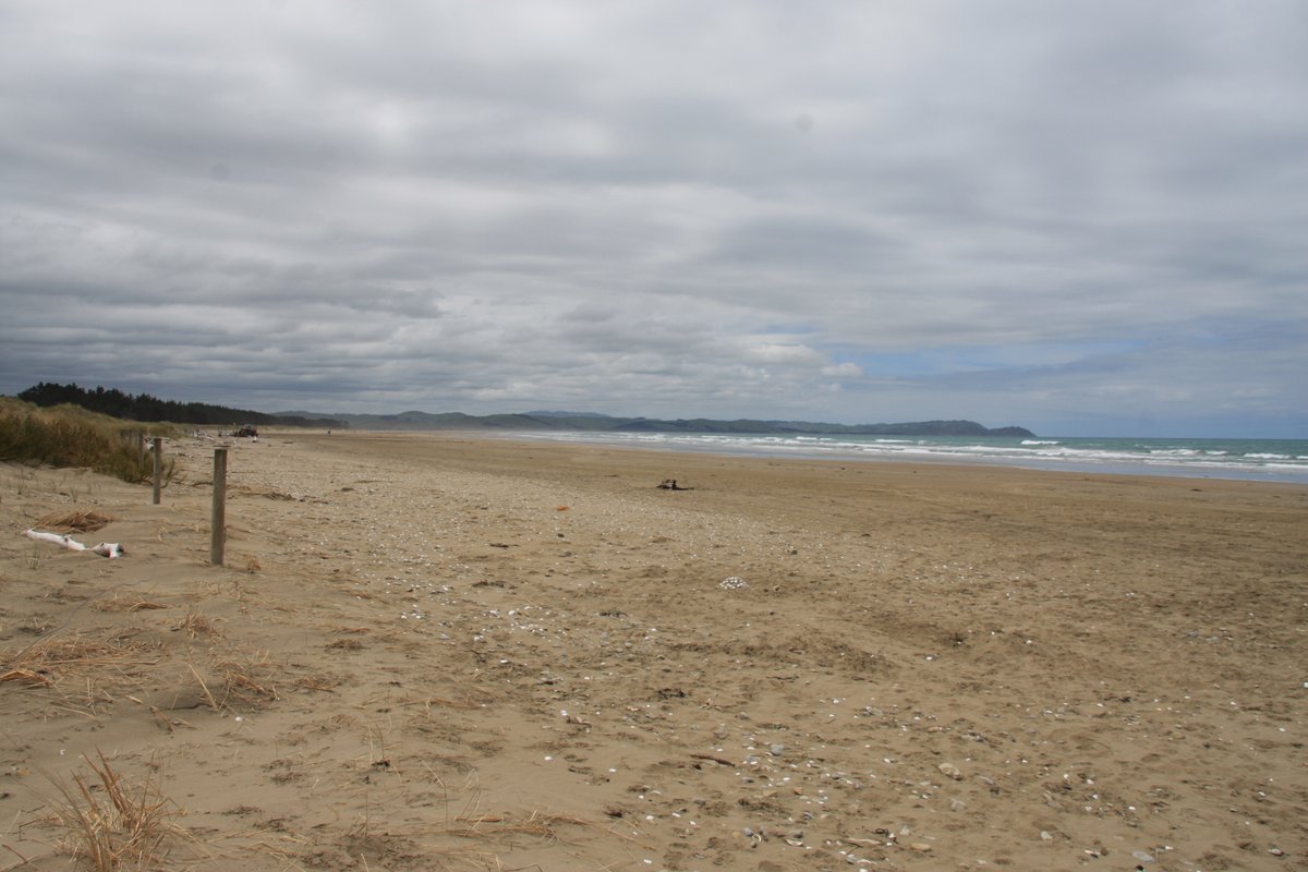
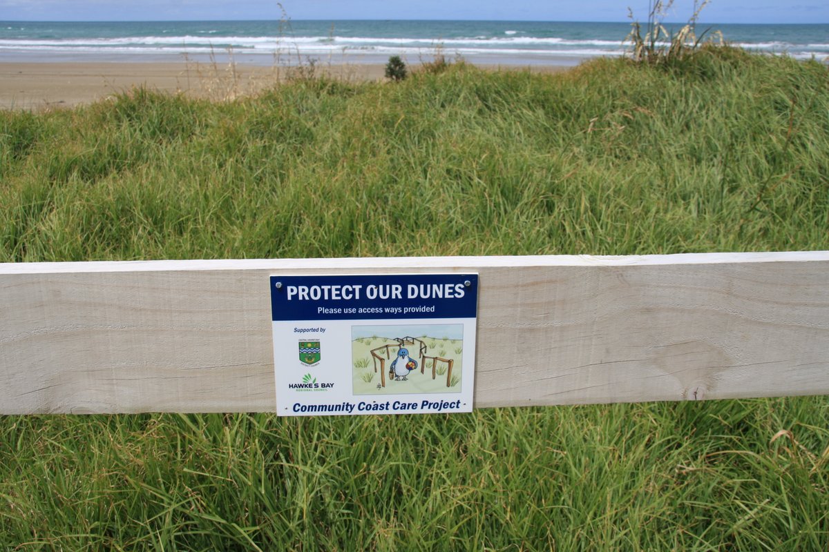
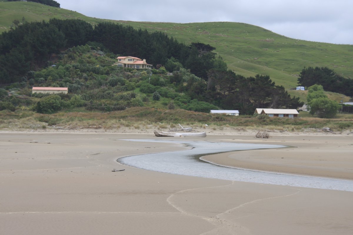
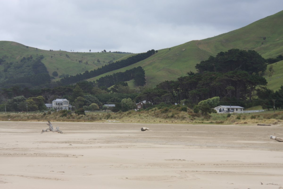
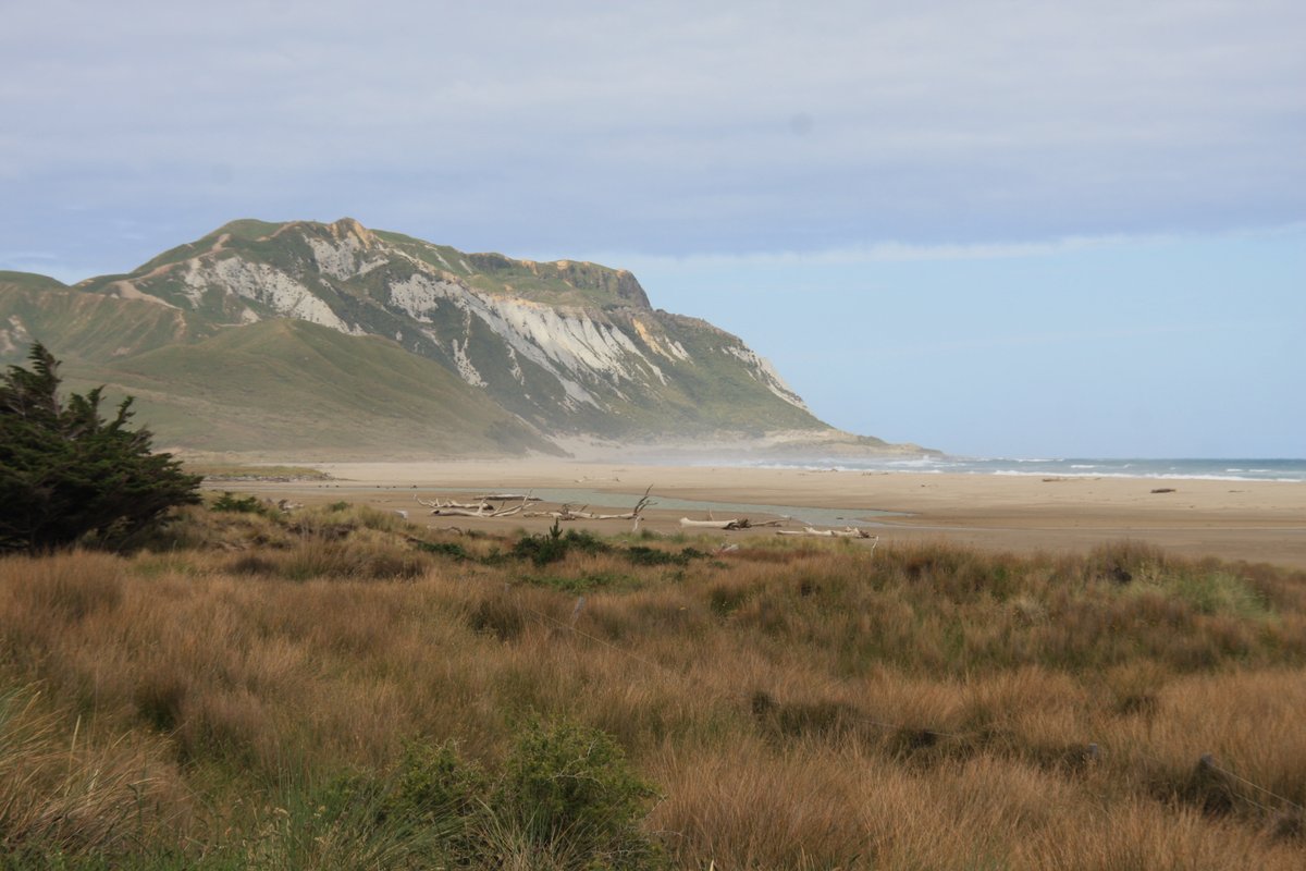
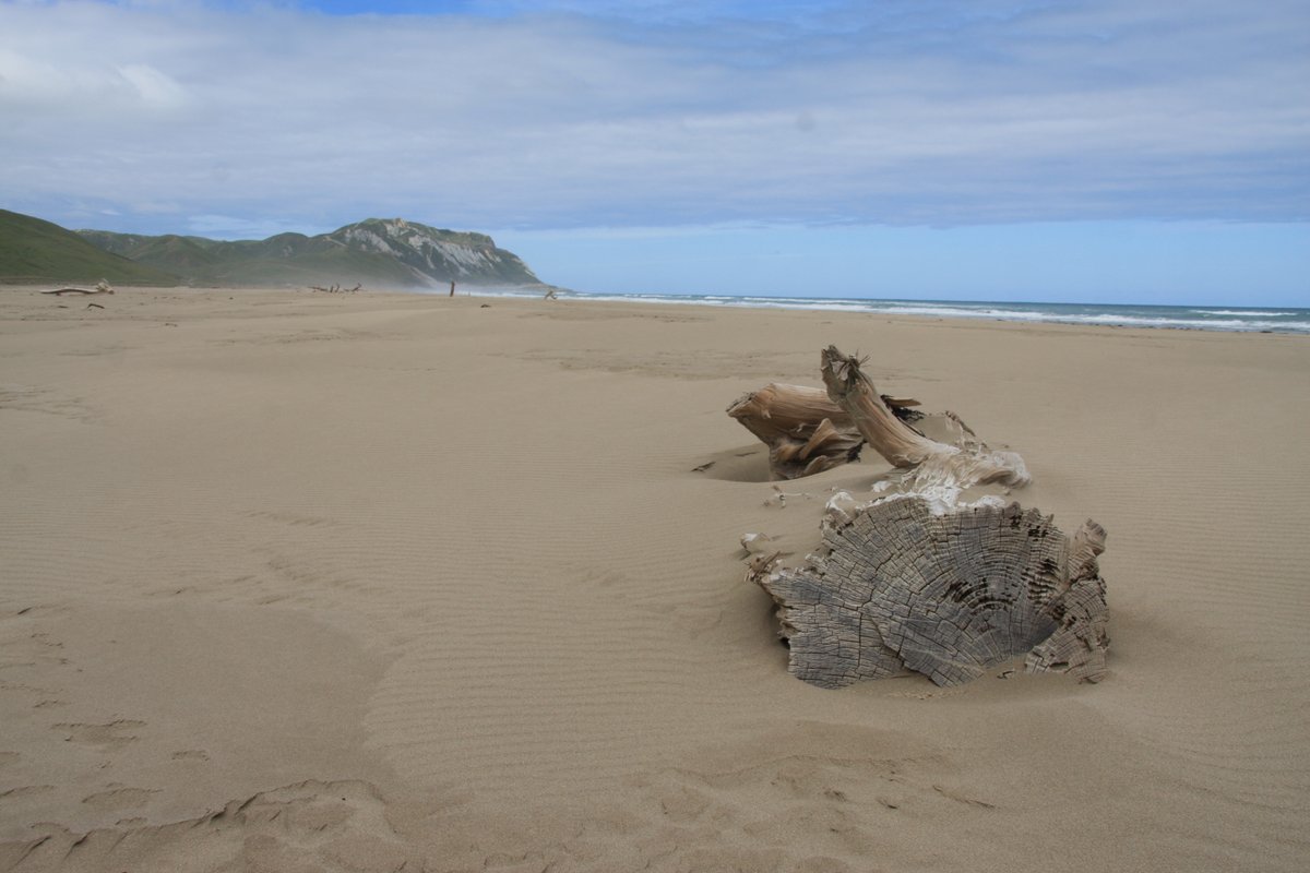
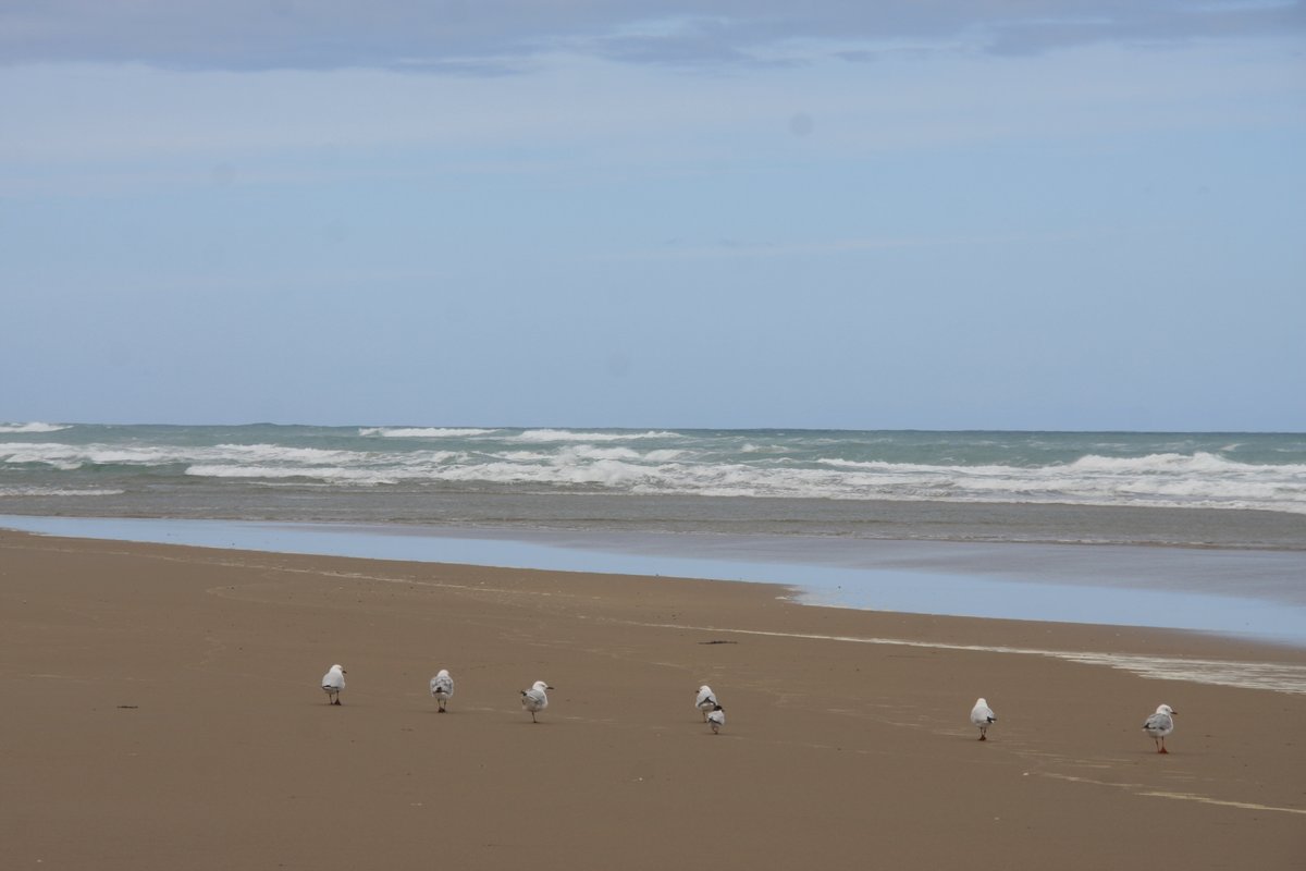
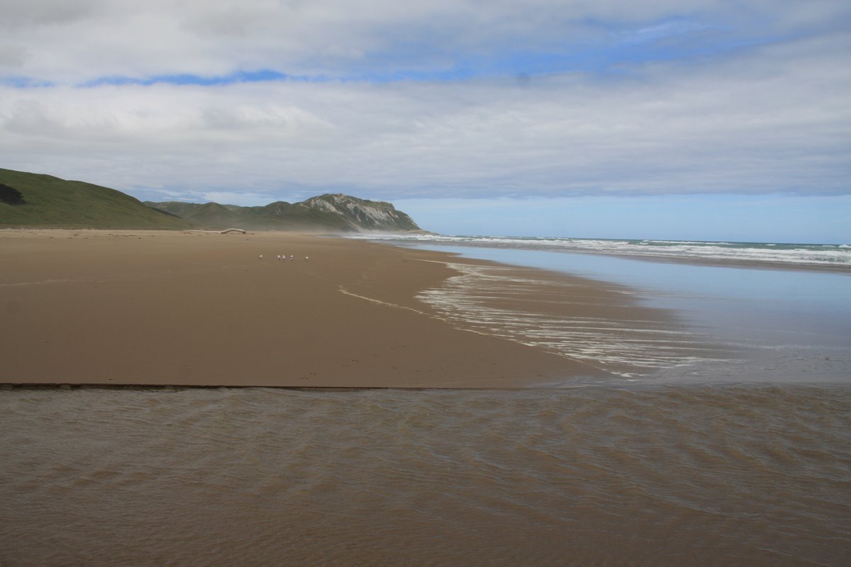
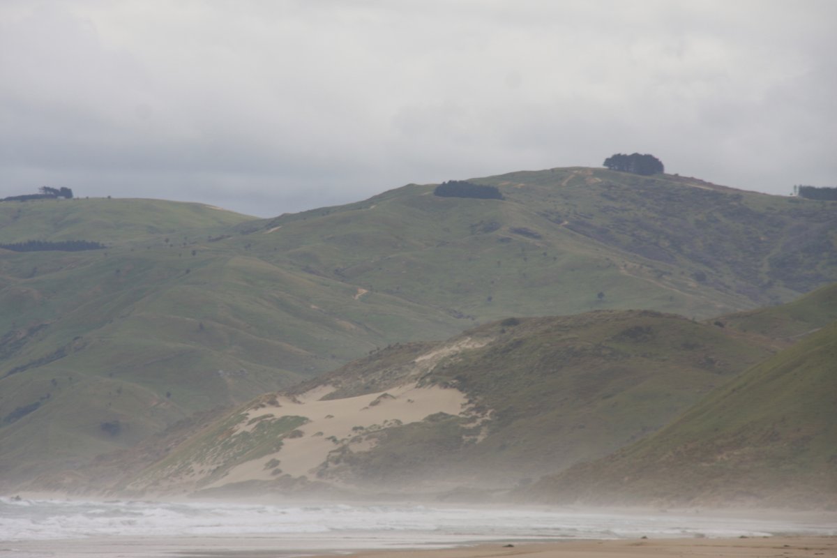
Near Taumata-long-name is Te Paerahi Beach (aka Porangahau Beach for a nearby town). Technically this is still just north of the Wairarapa. First shot shows the southern end of the beach; second looks north to Blackhead. I thought the dunes conservation sign was cute.
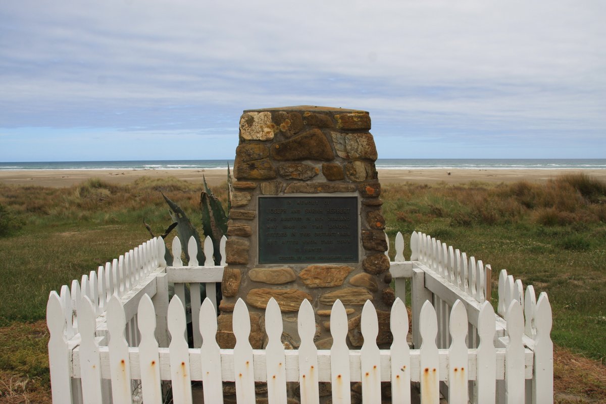
Alright, now we& #39;re in the Wairarapa—just! Welcome to Herbertville, the first village on the coast south of Cape Turnagain. It& #39;s named for the first European settlers Joseph and Sarah Herbert, who are memorialised beside the beach.
Herbertville is tiny. It has about thirty permanent residents, and before it was named for its first European settlers the village was known as Wainui for the river on which it sits.
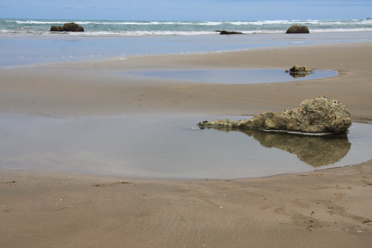
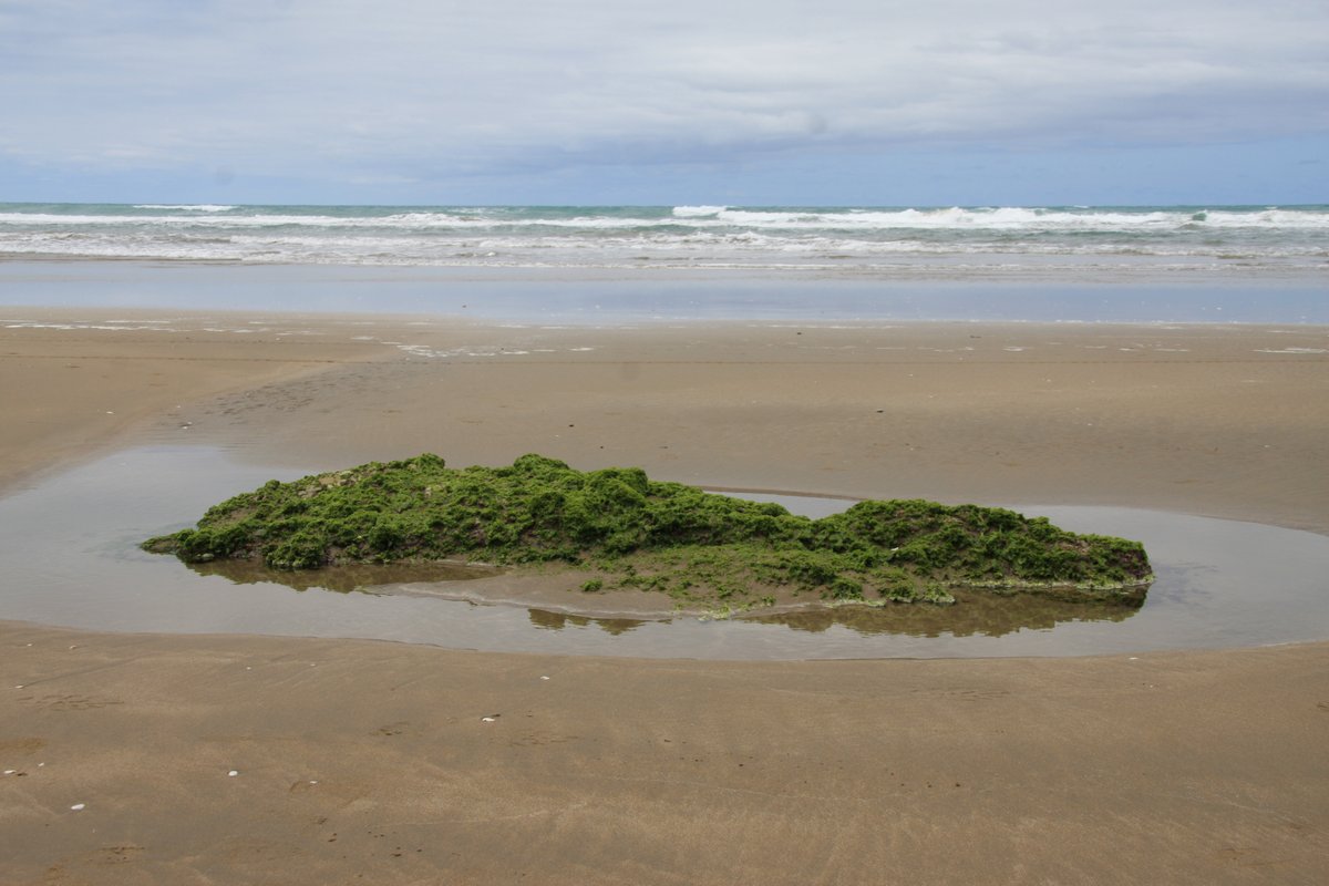
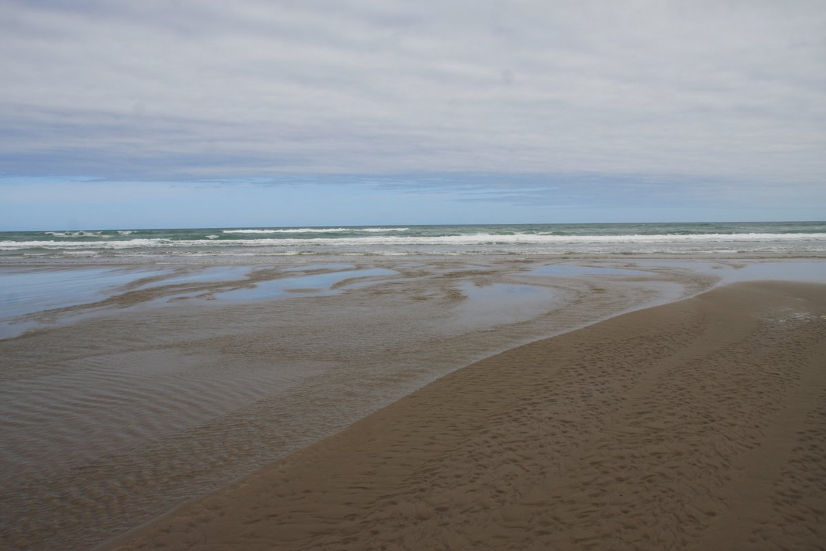
The beach is wide and sweeps south from Cape Turnagain. A major earthquake occurred here on 9 August 1904, which I believe to be the worst in NZ between 1888 and 1929 ( @UKEQ_Bulletin maybe can clarify?). Landslides and liquefaction occurred throughout the region; 1 man died.
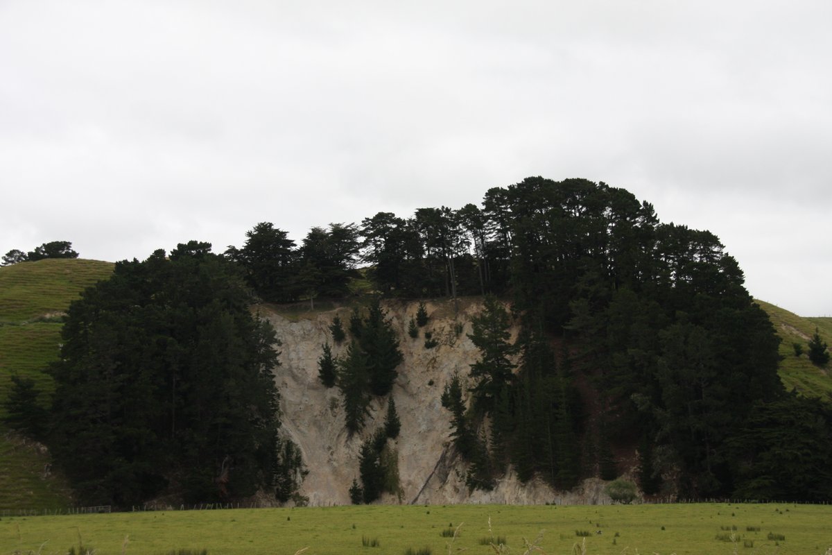
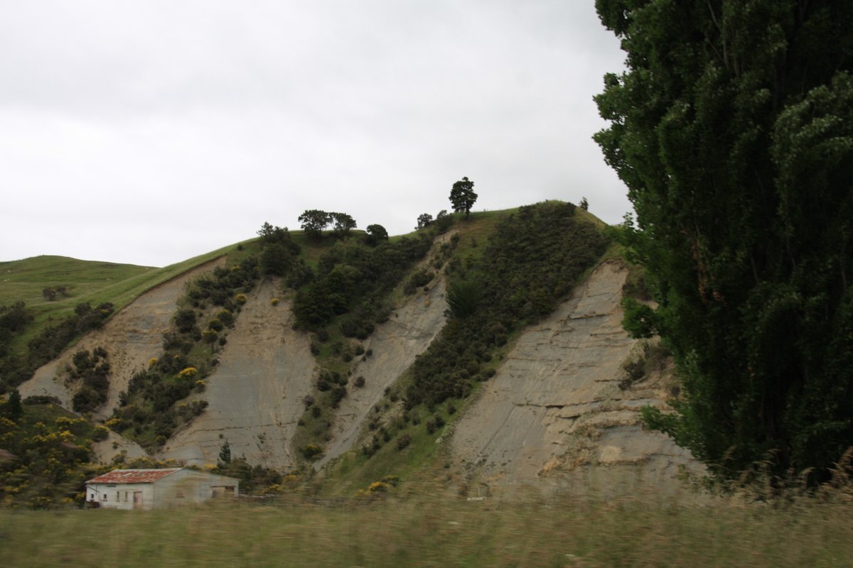
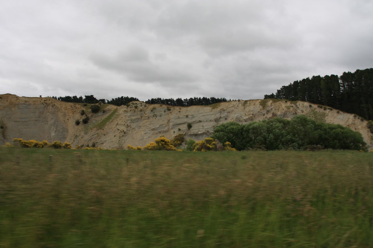
I spotted these cliffs inland of Herbertville, I think close to Weber on route 52 (an ex-state highway that lost its designation). Not sure if any might be from earthquakes or landslides? I& #39;m no seismologist or geologist. Anyway, this is a tangent, back to the beach!
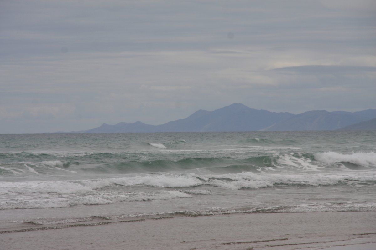
Standing on Herbertville beach, you are just about as close to the Chatham Islands as it is possible to get in mainland New Zealand. The Chathams are somewhere out there 650km to the southeast.
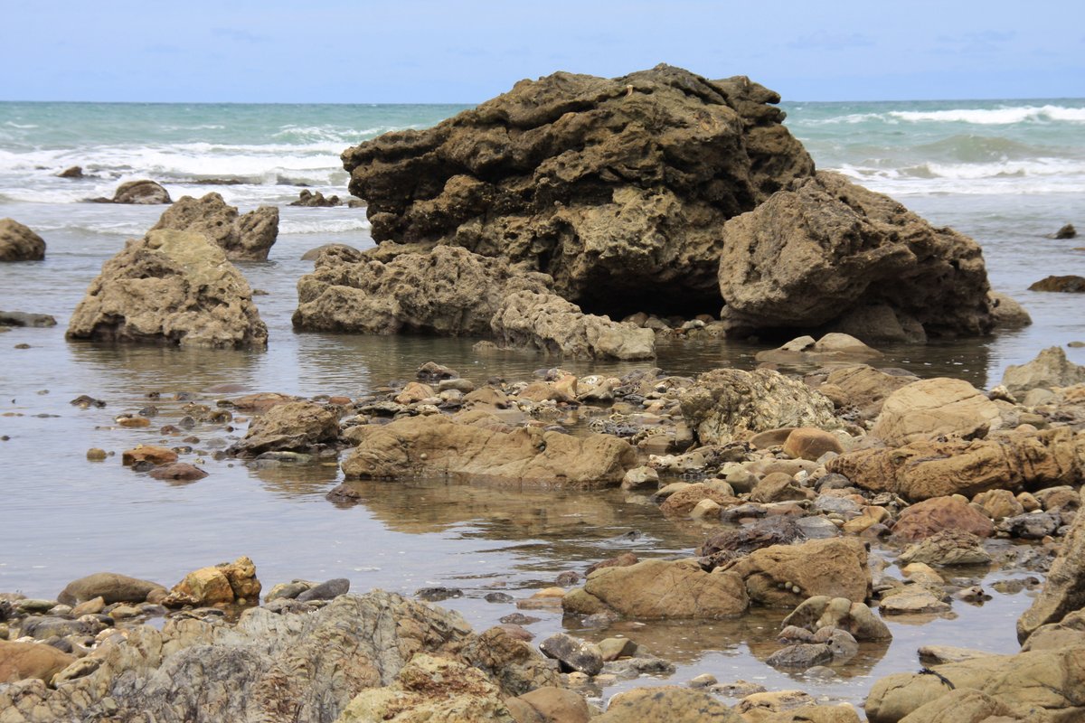
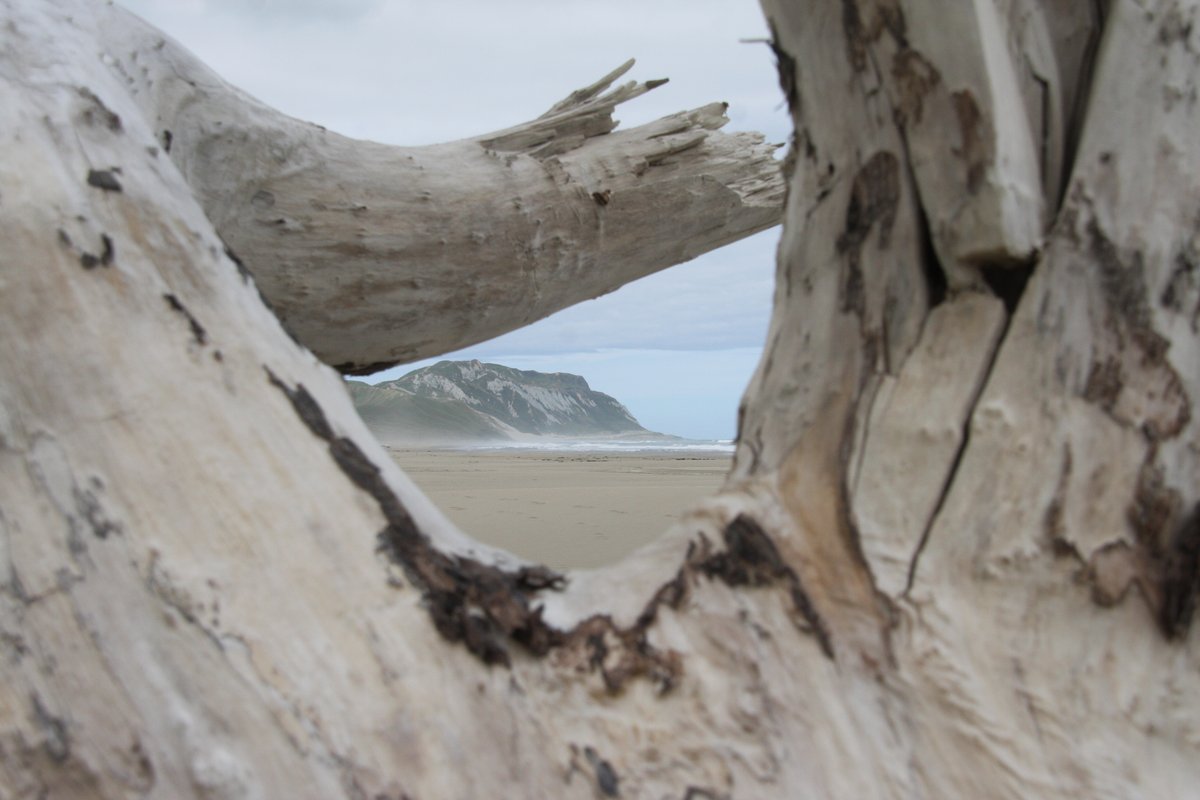
Other than the Chathams, there is not much out there, just the vastness of the Pacific and Southern Oceans all the way to South America and Antarctica. This is why I love this coastline. It& #39;s rough and empty, it& #39;s awe-inspiring.
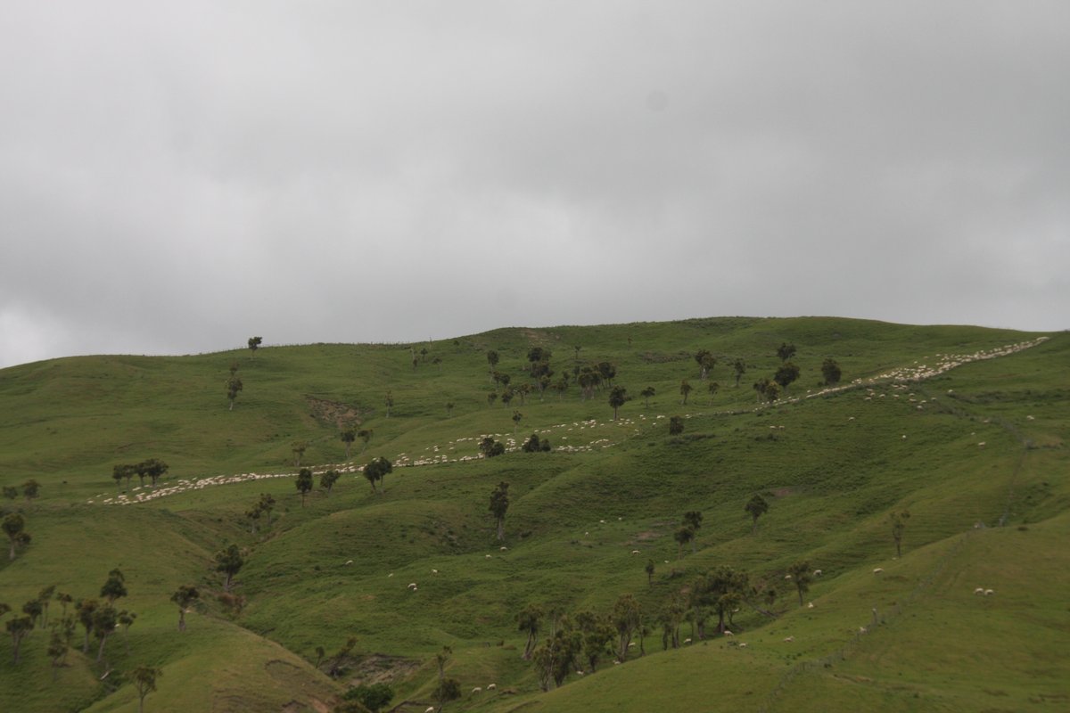
The whole coast is like this. Sheep stations and tiny villages. South of Napier-Hastings, you don& #39;t come upon a coastal settlement of any large size until you round the corner into Cook Strait and reach Wellington.
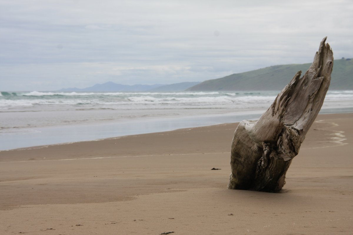
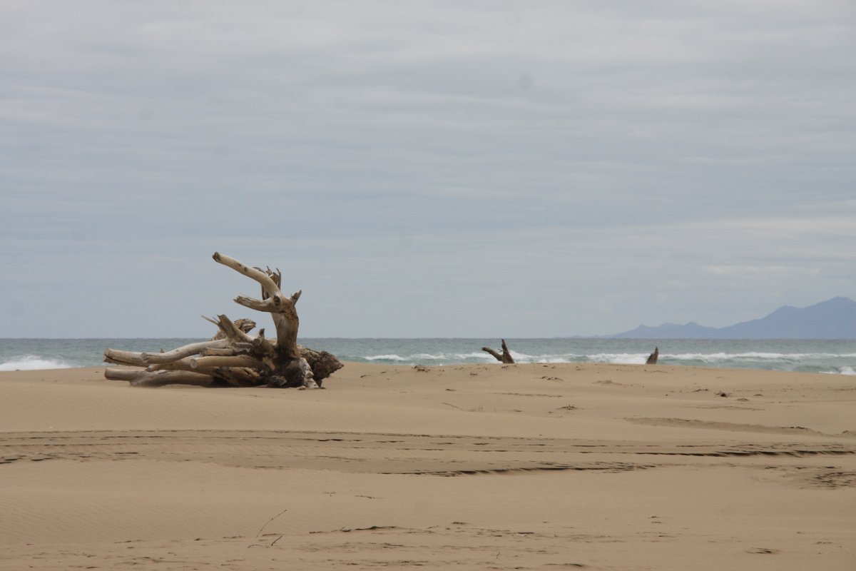
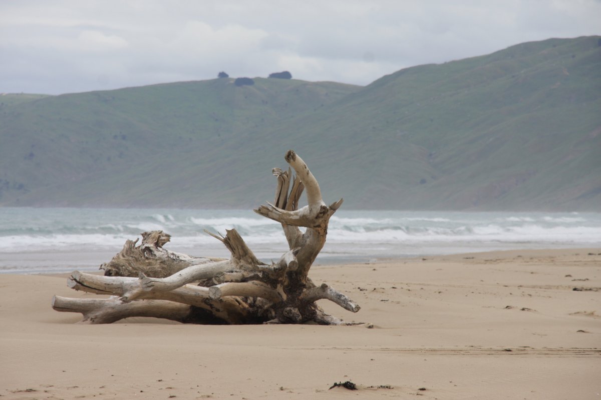
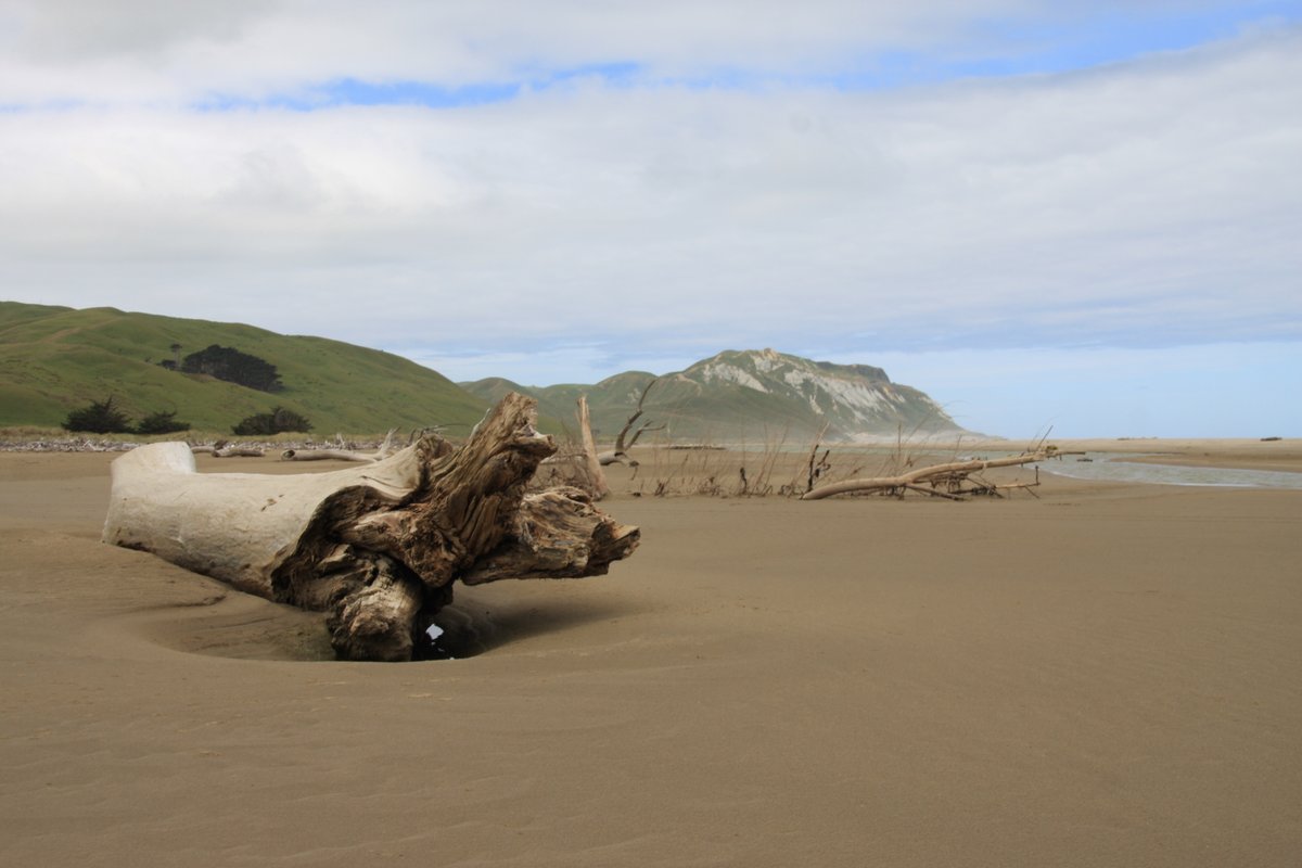
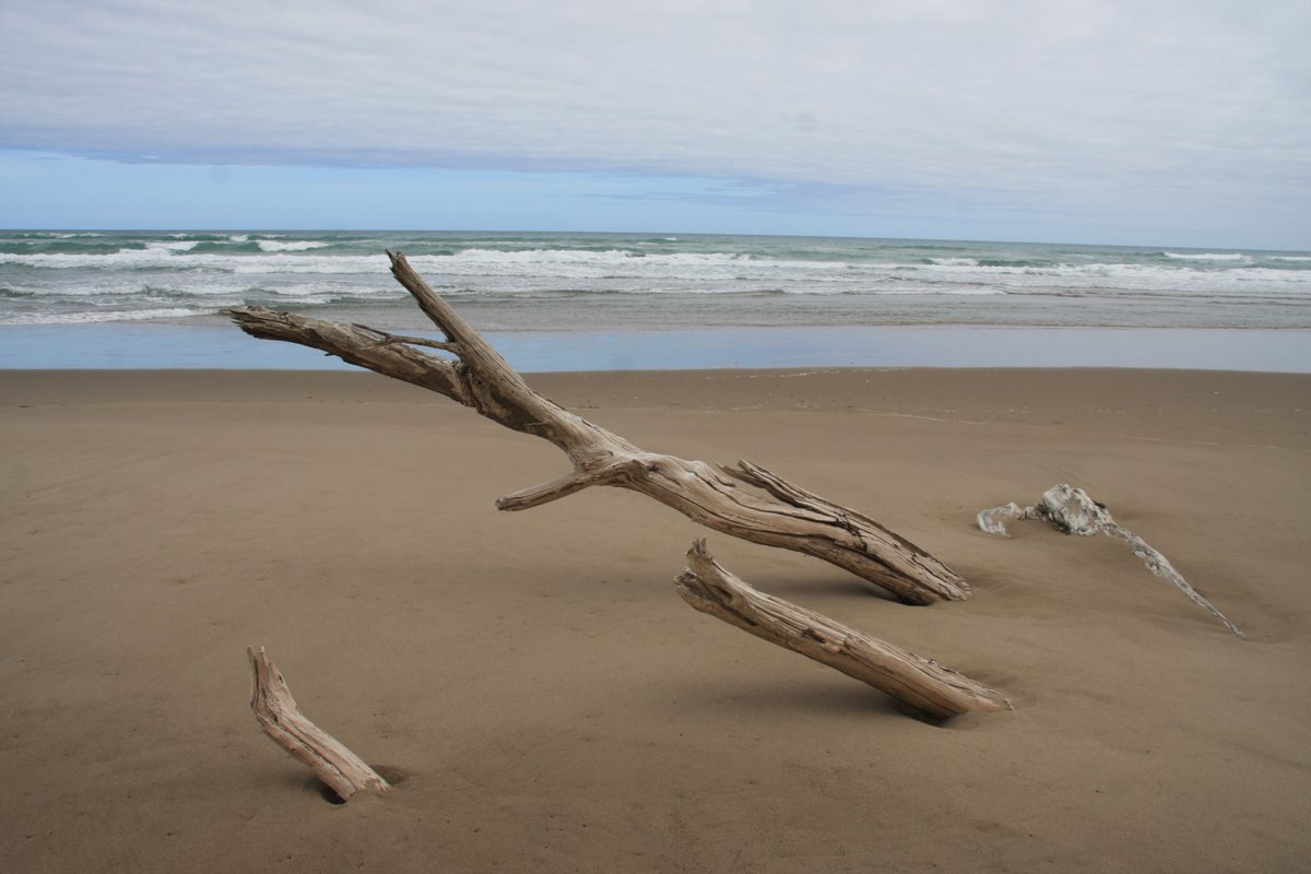
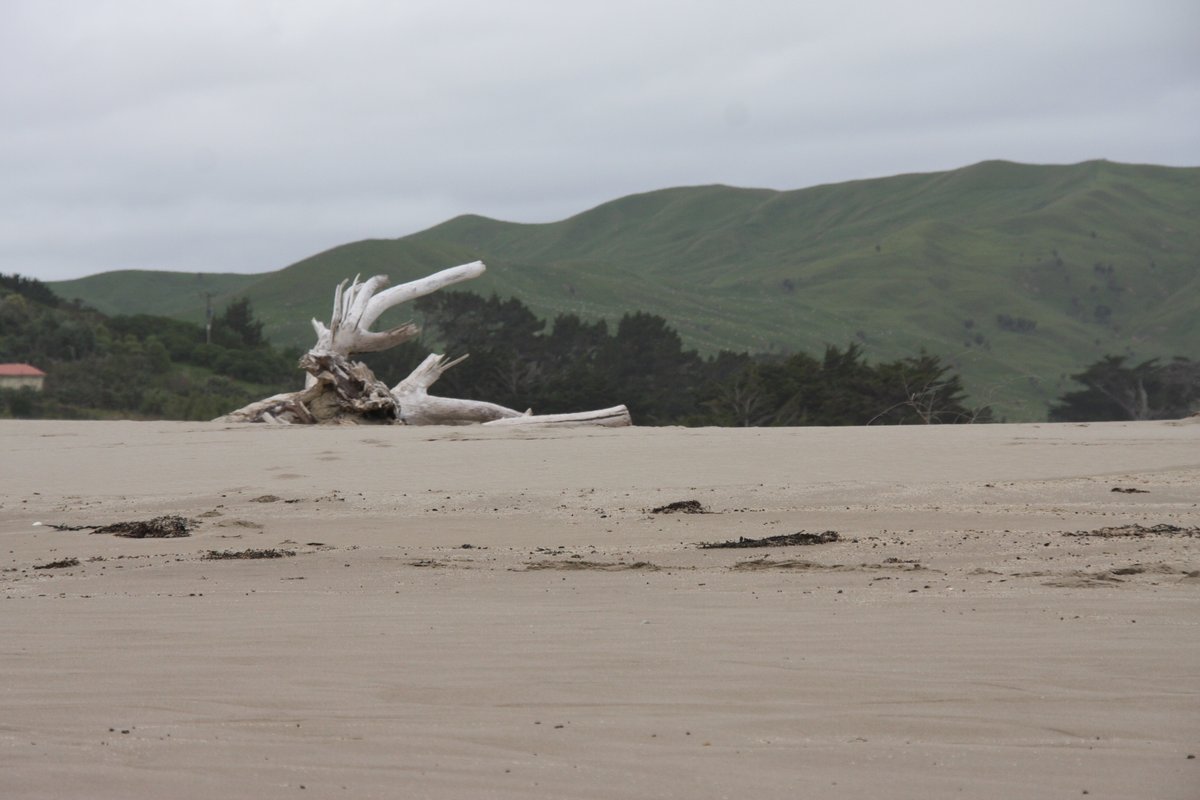
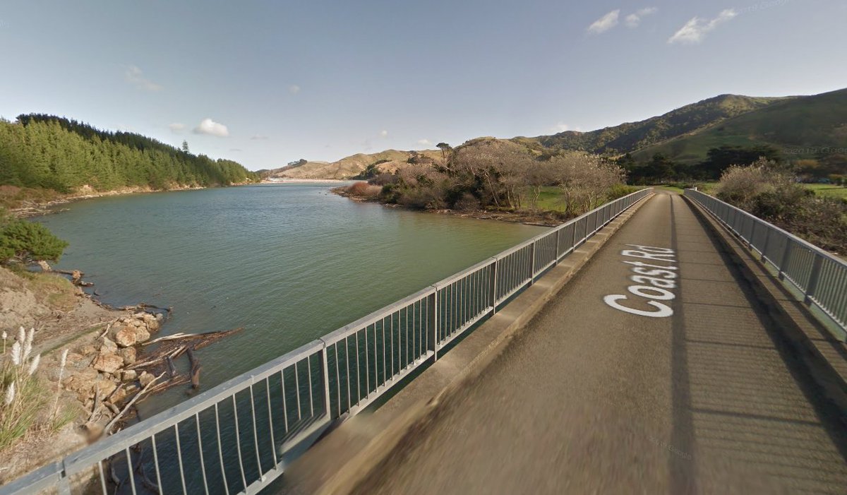
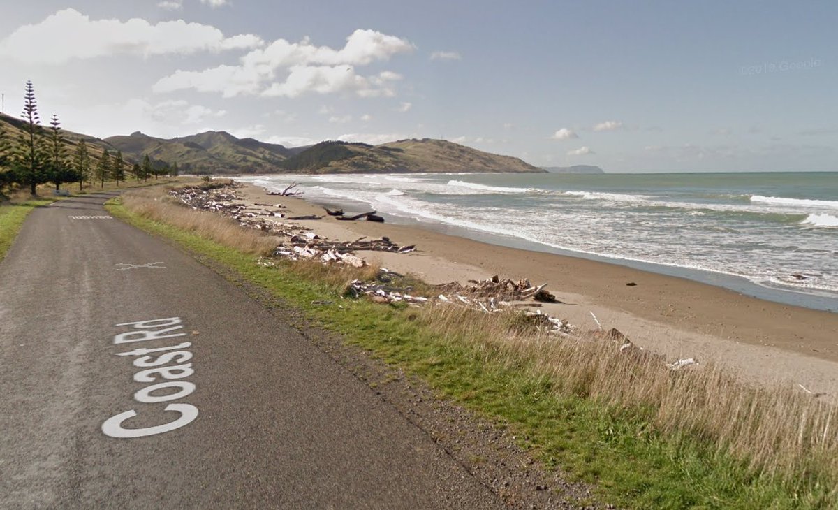
Next down the coast is Akitio. I& #39;ve unfortunately never been. Here are a couple of screenshots from Google: the bridge into the village, and the beach strewn with more of that driftwood.
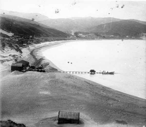
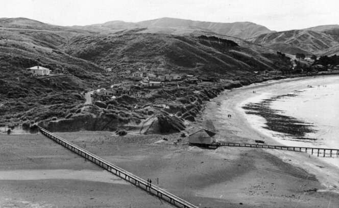
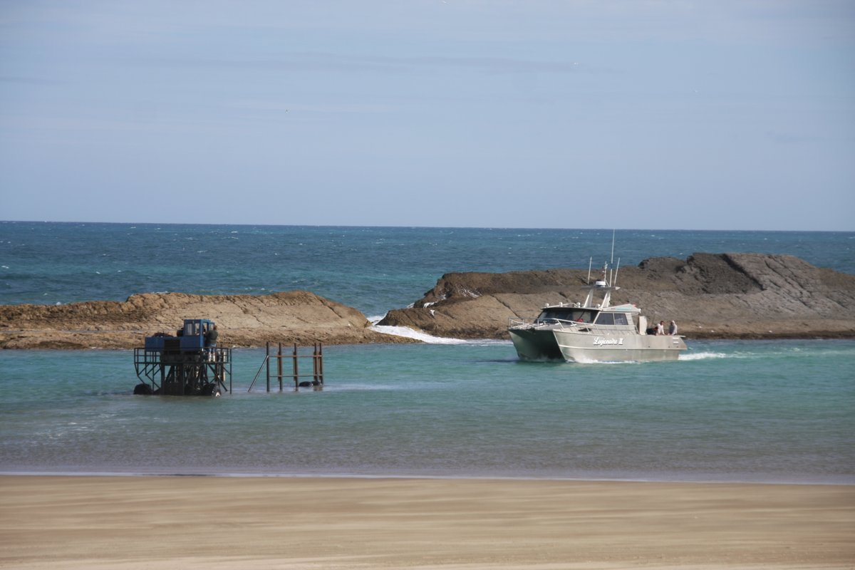
Welcome to Castlepoint! It used to be the most significant port in the region (not saying much, but it was!). It had a jetty and a boardwalk—both long gone. Left is wool being loaded in the 1900s (Wairarapa Archive 05-39/P-G-1-3); right a 1920s panorama (NLNZ 1/2-030991-F).
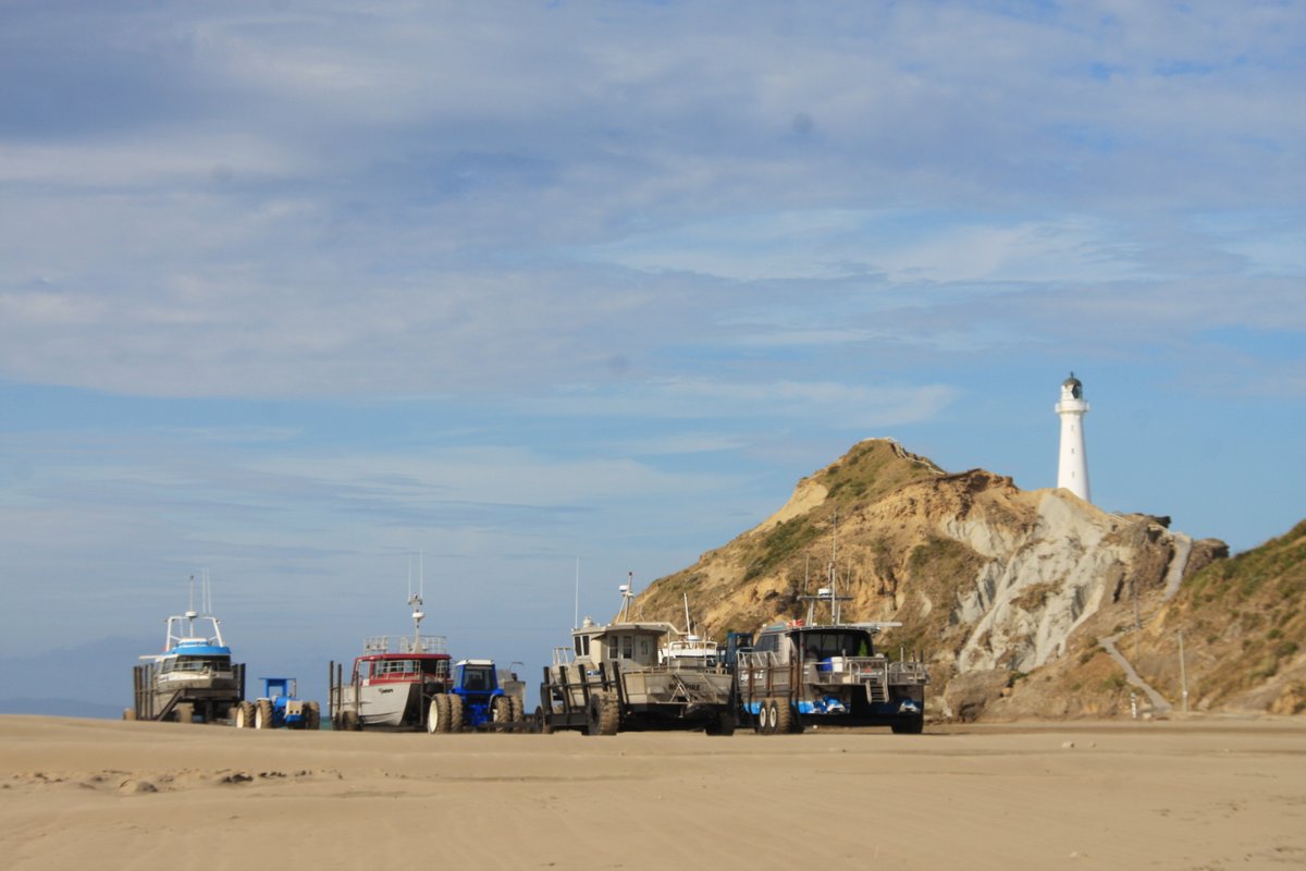
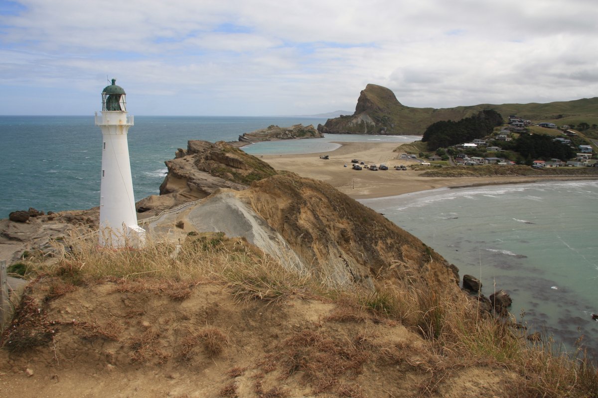
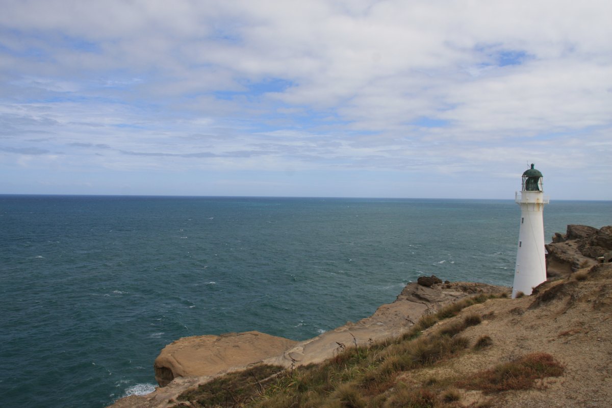
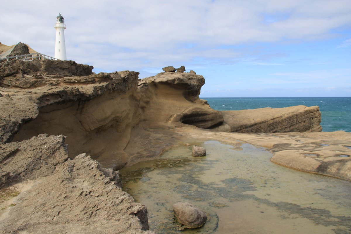
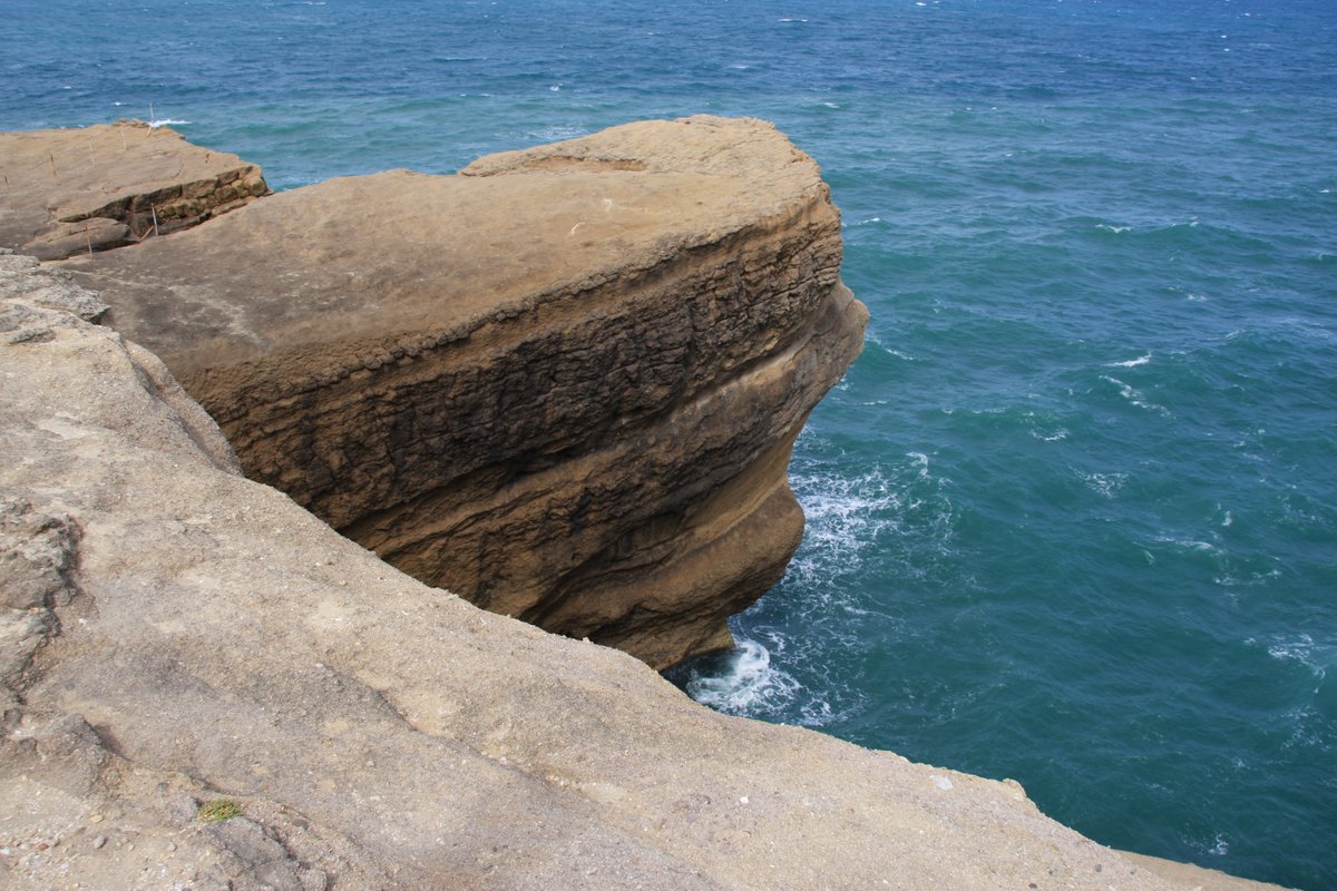
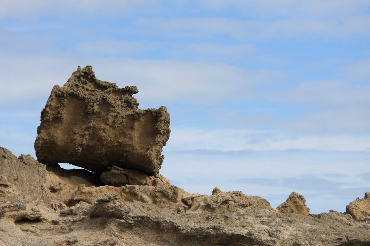
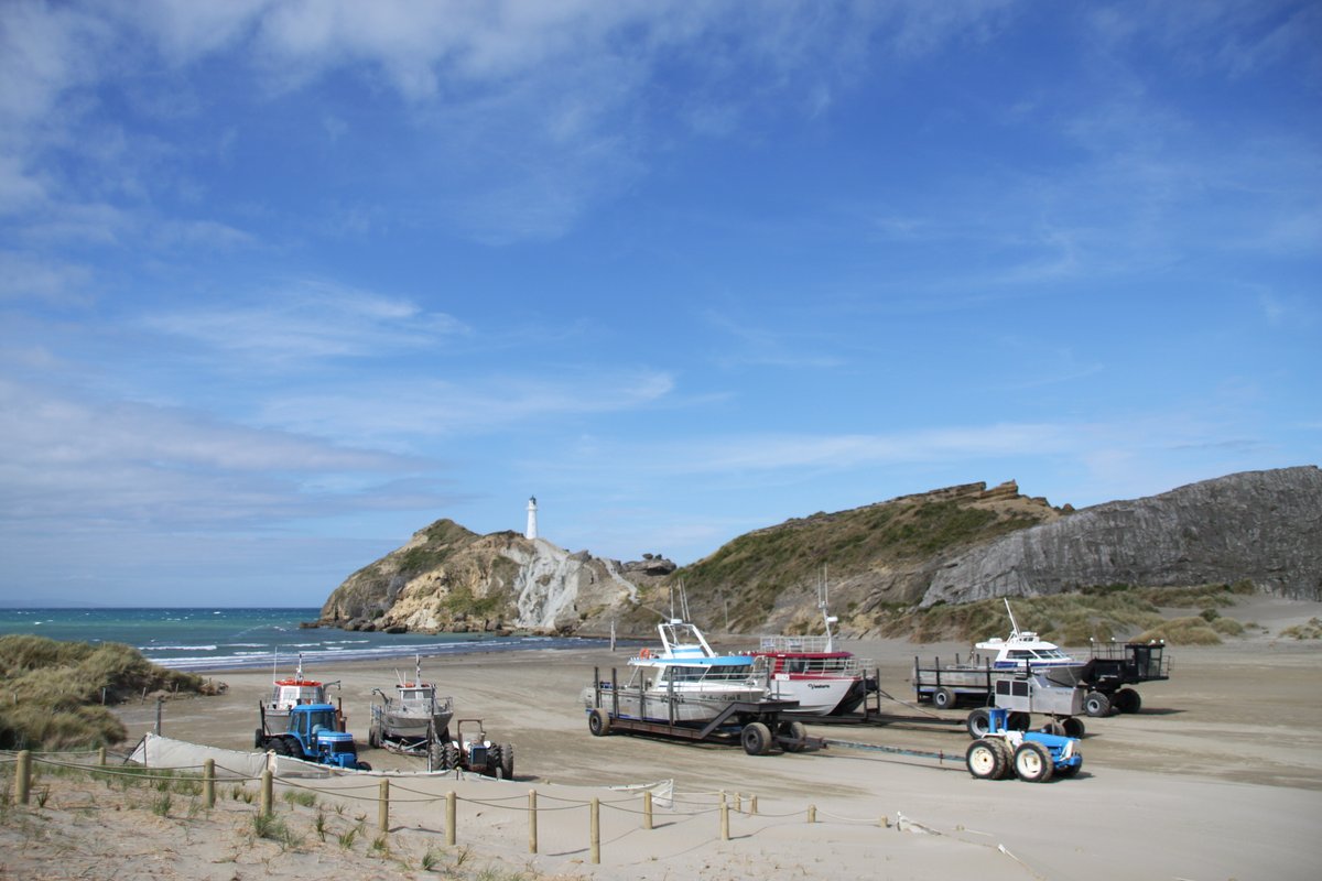
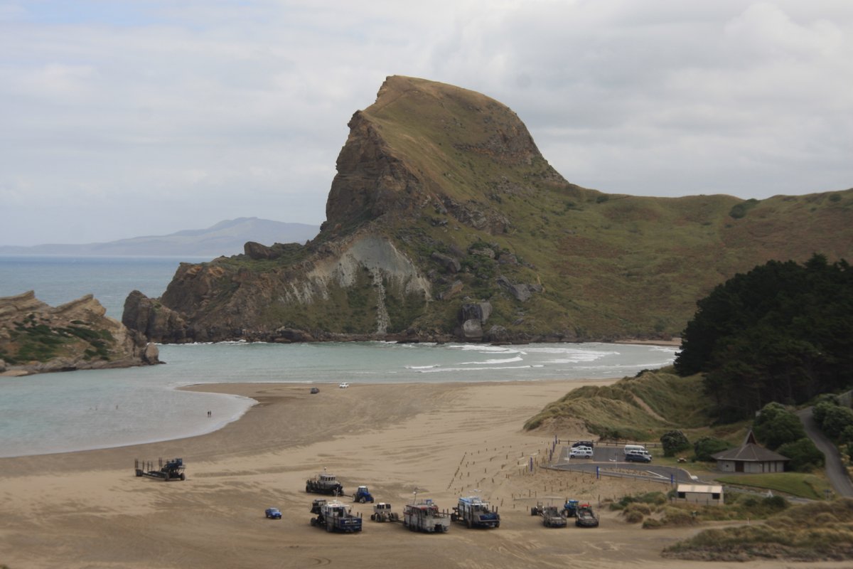
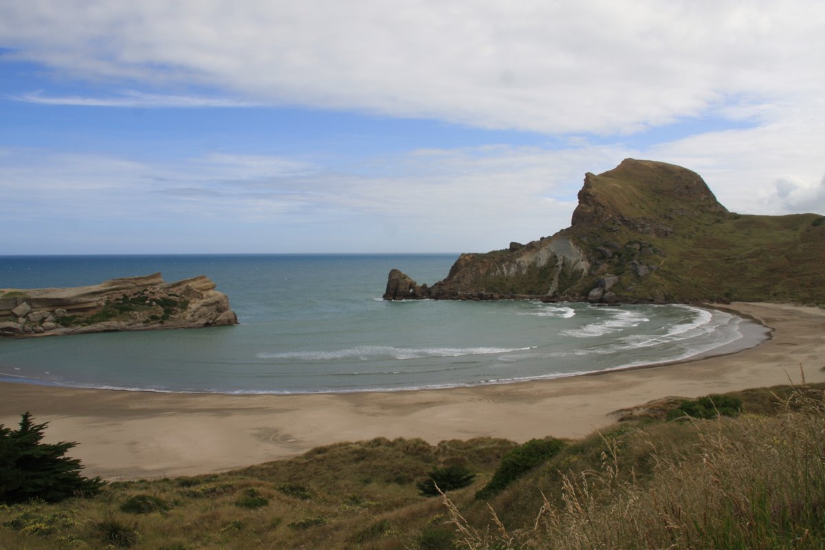
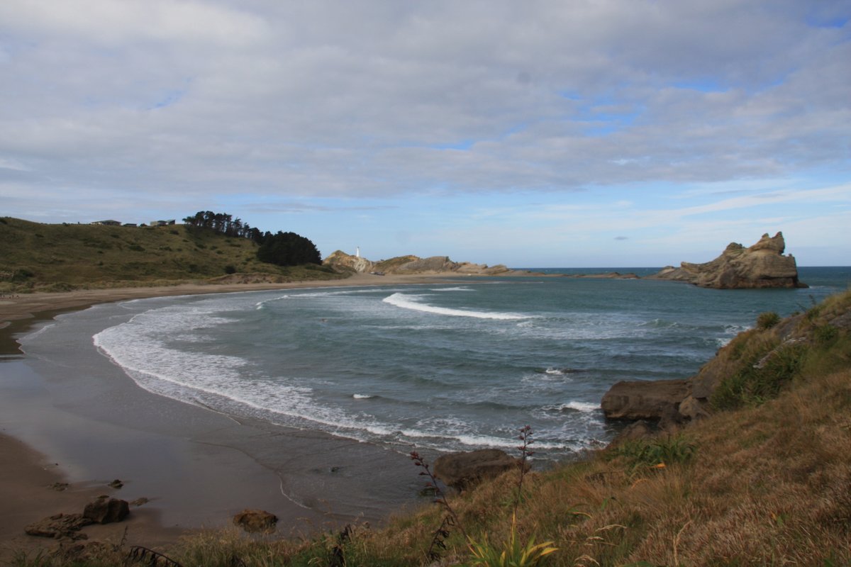
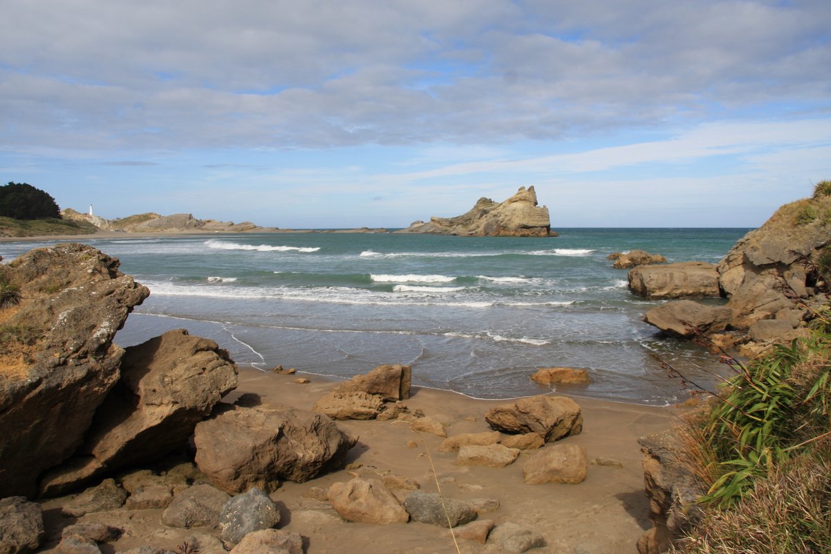
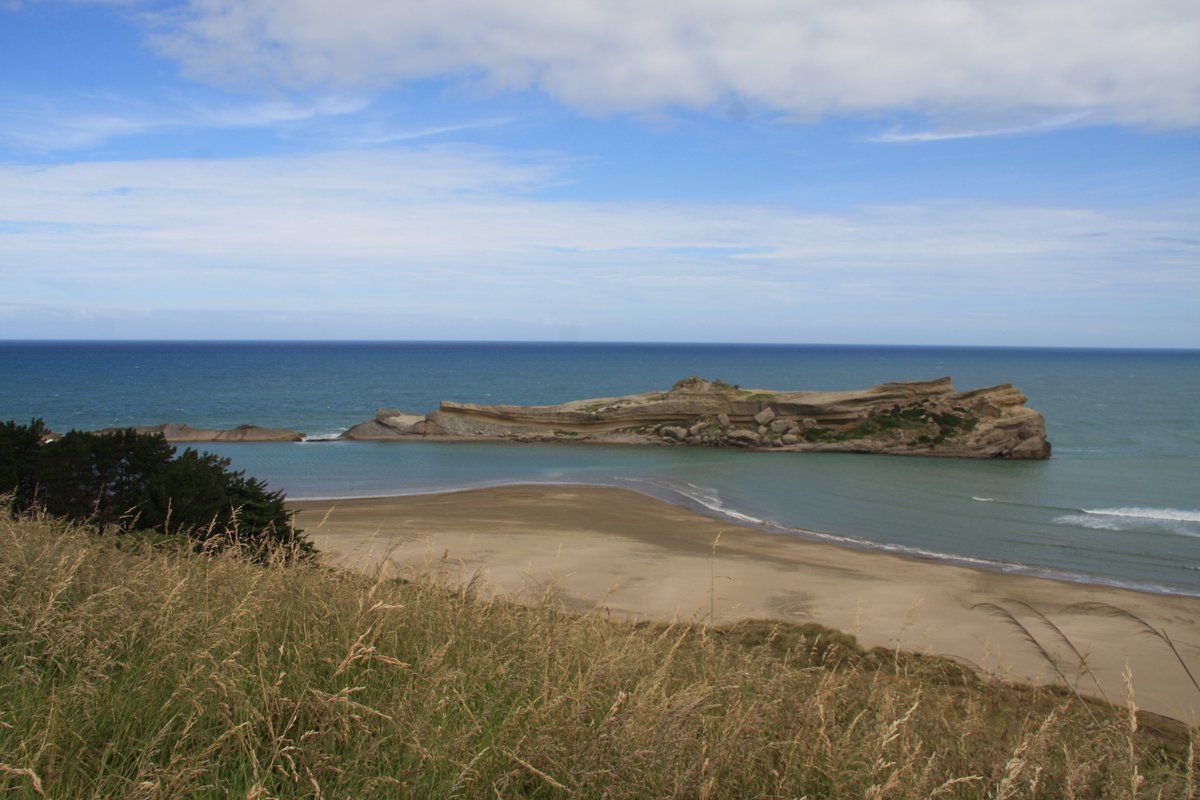
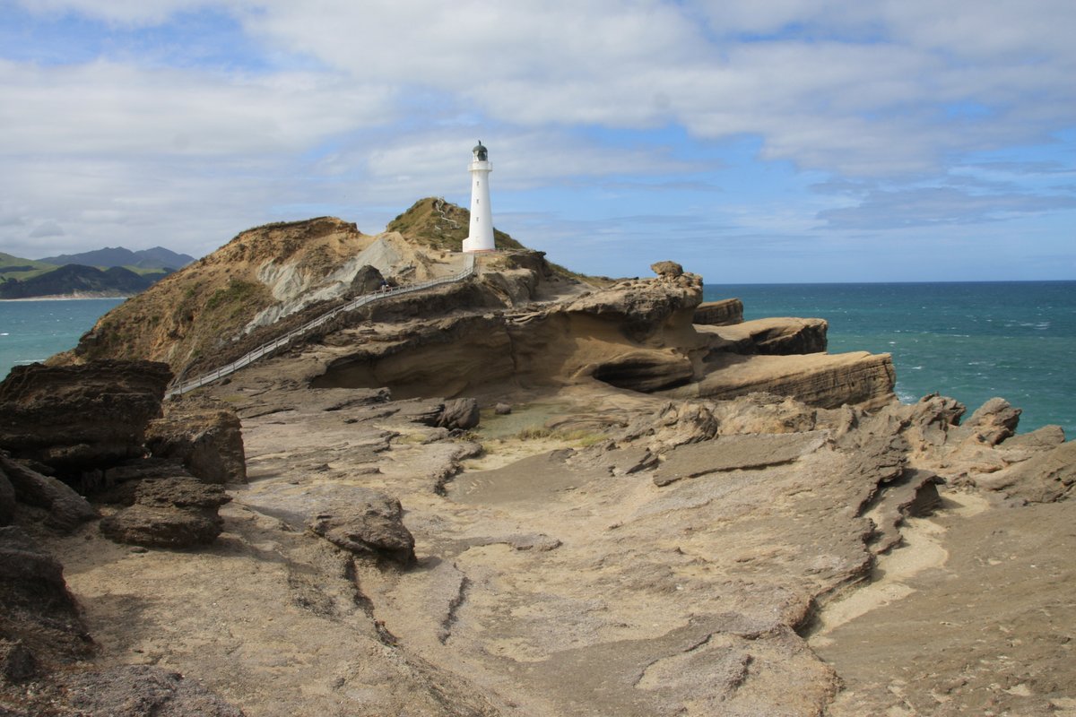
I paid Castlepoint a visit in 2011 the day after visiting Herbertville. Here& #39;s a famous view!
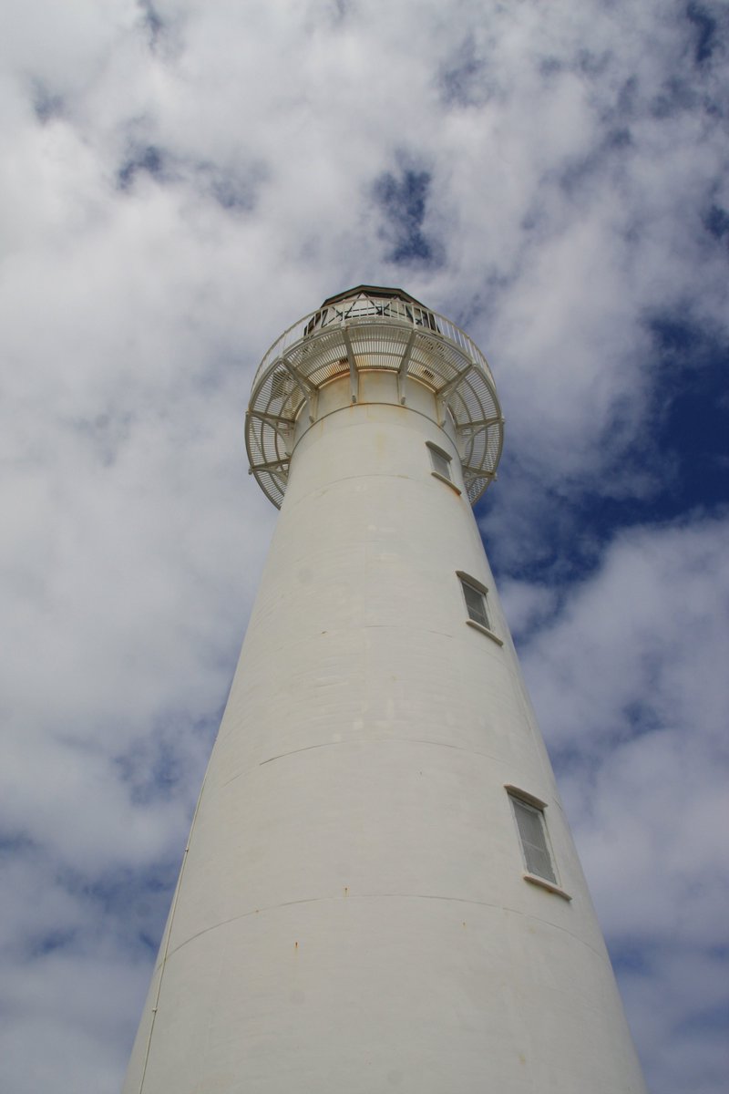
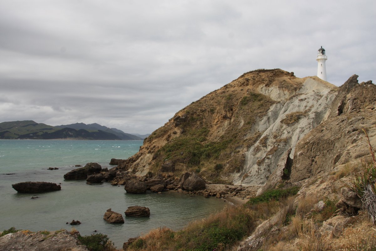
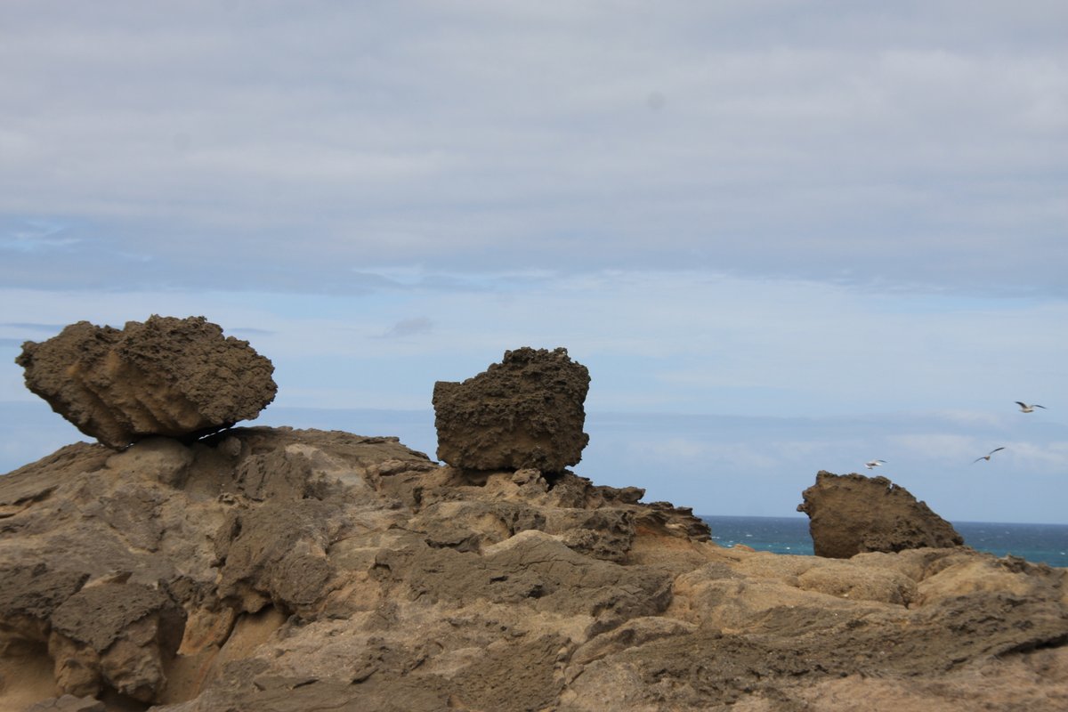
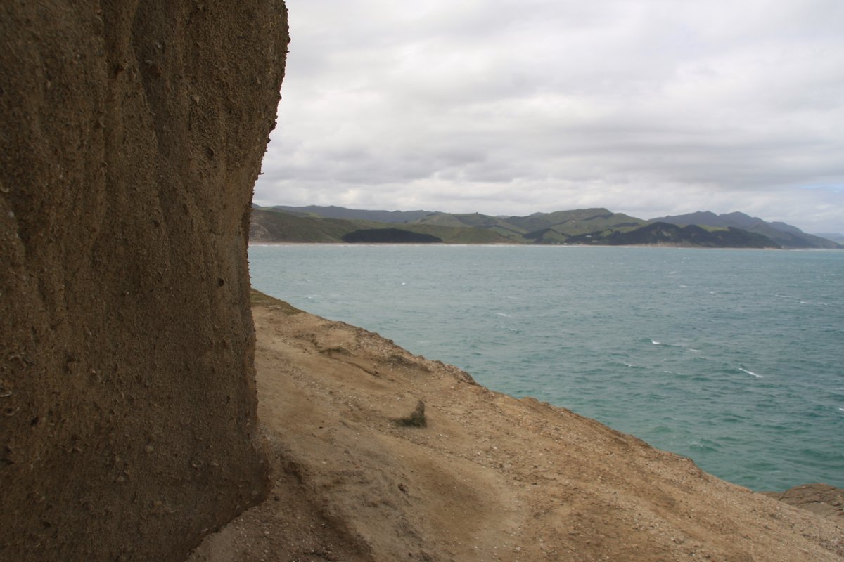
More angles of the lighthouse. It was first lit on 12 January 1913 and had a dedicated keeper until 1988, when it was automated.
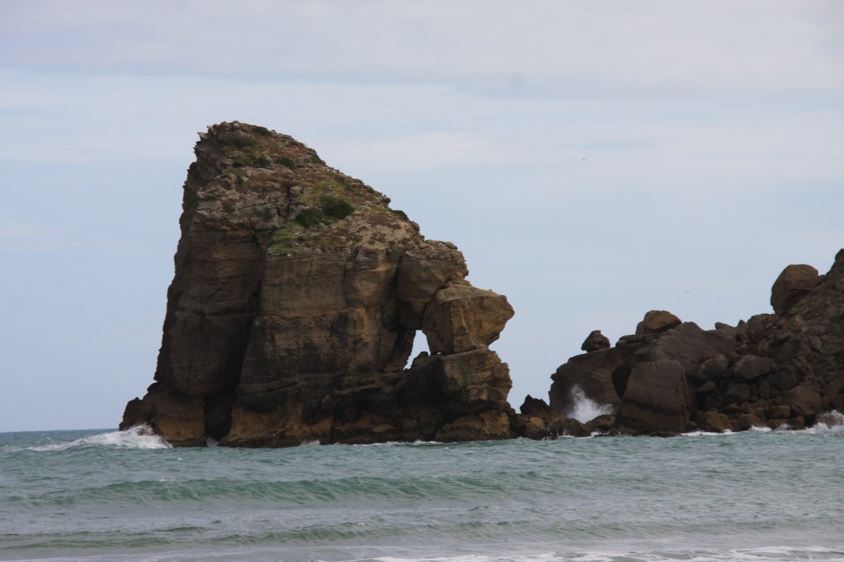
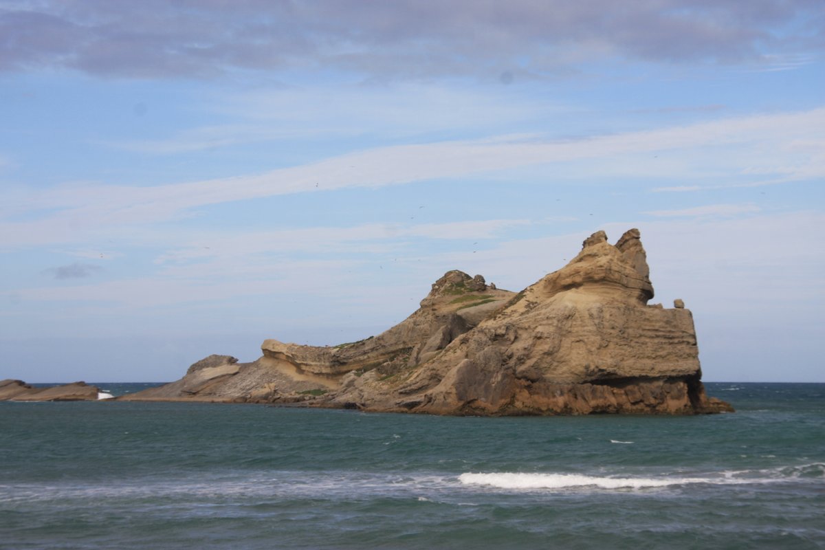
Captain Cook named Castle Rock for perceived similarities to the battlements of a castle. I prefer the Māori name for the area: Rangiwhakaoma, "where the sky runs". What a great, evocative name.

 Read on Twitter