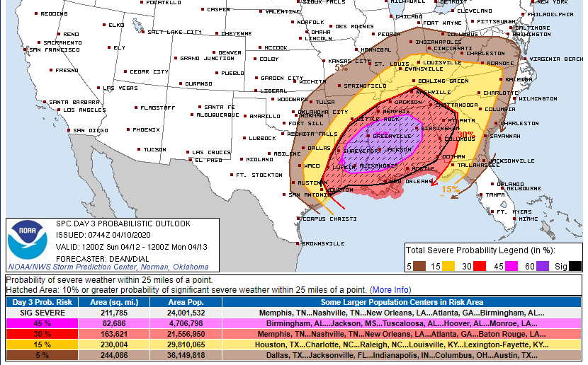
I know there& #39;s going to be a lot of in-depth examination of the severe weather setup in the Southeast for Sunday. And that one of the things that folks are looking for is potential failure modes. I get it - I& #39;ve been doing it myself today. (1/)
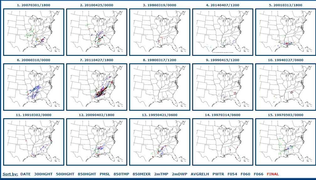
But I think it& #39;s worth pointing this out. Just above every one of the top 15 CIPS analogs for Sun is a significant severe weather event, several are all-timers (e.g., April 27, Yazoo City, Enterprise). (2/)
There& #39;s a reason why: it& #39;s a classic synoptic severe weather setup with forecast high end kinematic and thermodynamic fields during the climatological max of severe weather season for this region. (3/)
High end severe weather somewhere in the MS/AL/LA/AR/TN region is almost certain. Long track violent TORs are more dependent upon mesoscale/ stormscale evolution that the models are just not going to pick up at this time range. (4/)
Even something you see as a clue - for failure or enhancement - in a model field or sounding at this time range may or may not actually be there in the real atmosphere come 48 hrs from now. (5/)

 Read on Twitter


