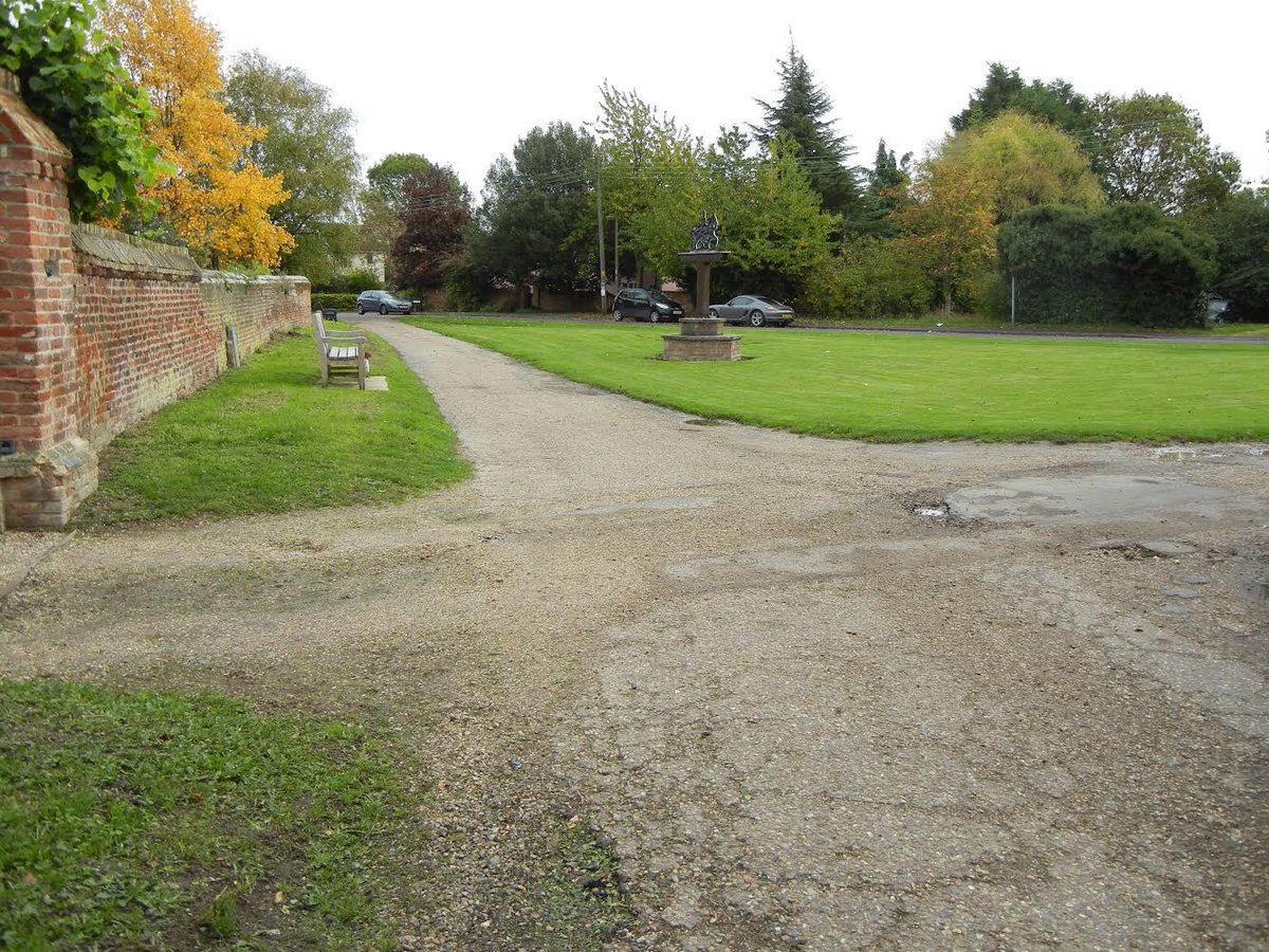
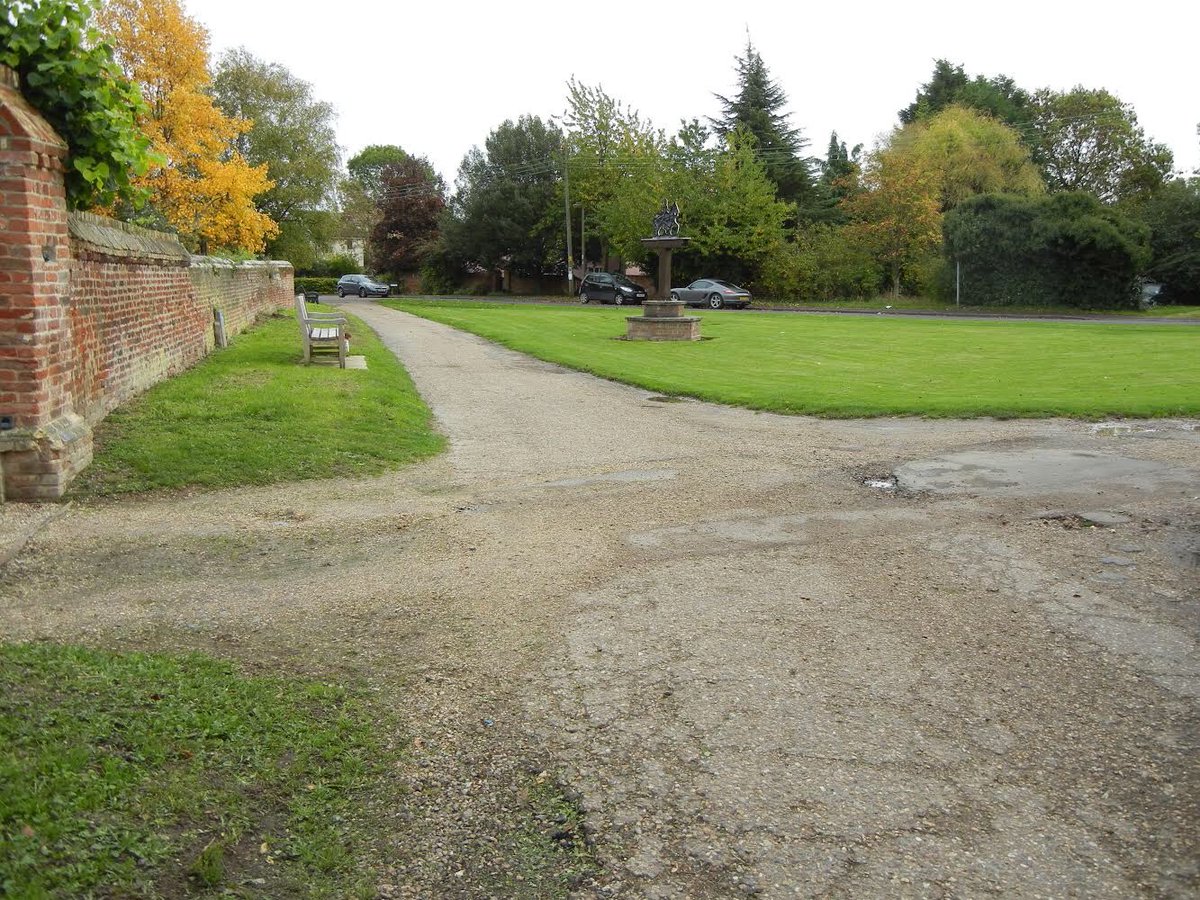
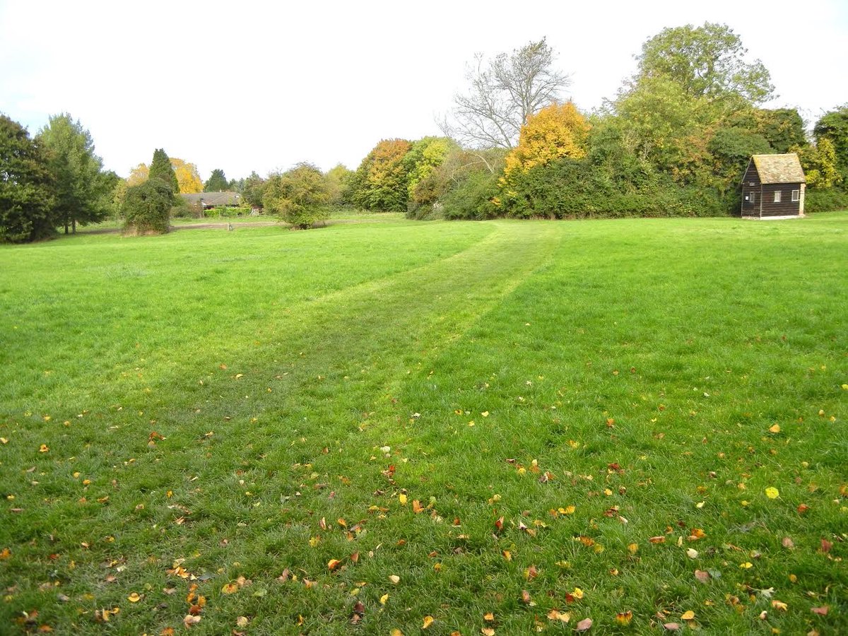
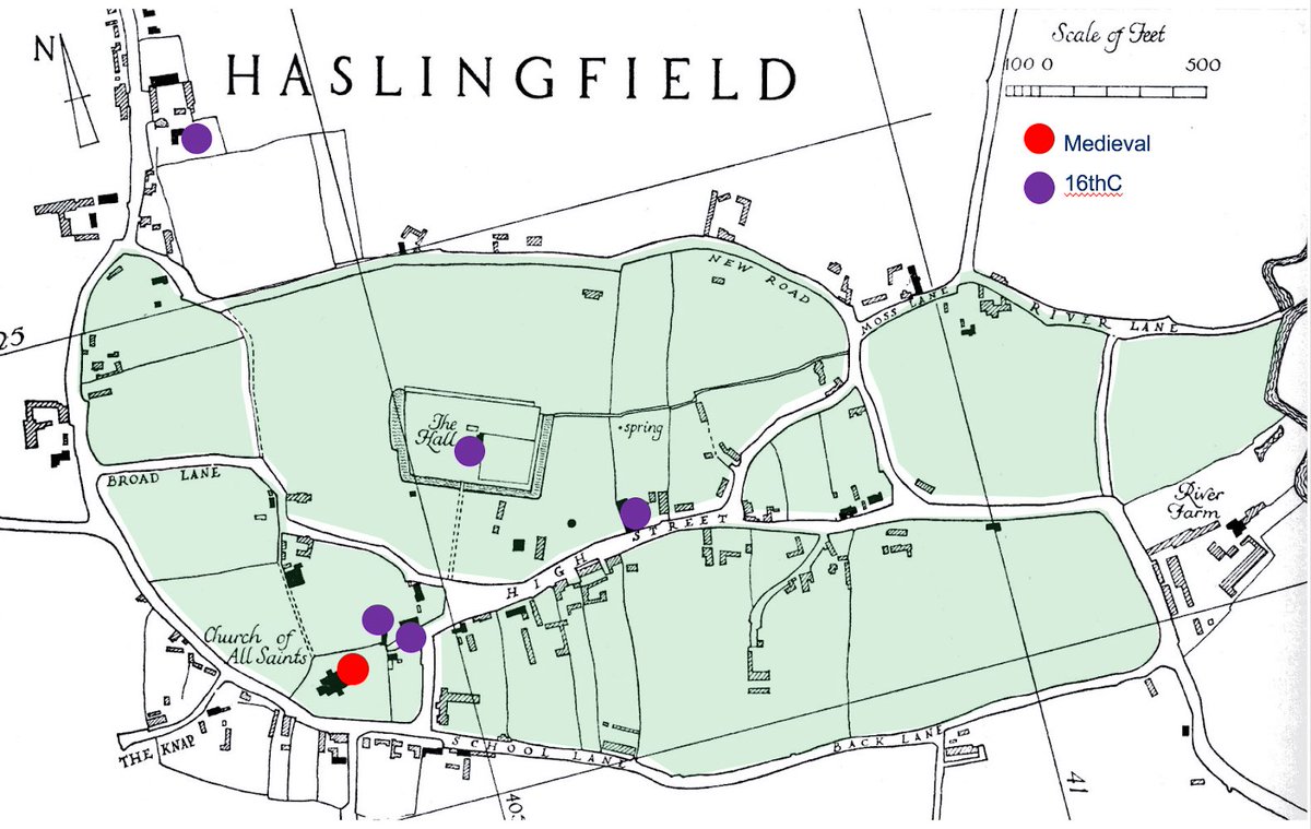
#FunWithLandscape THREAD. #Greens are found in settlements all over the British Isles. Some like this small triangular area at Haslingfield are clues to once-larger, less well-groomed areas. Here’s a way of looking them to try to reconstruct their history.
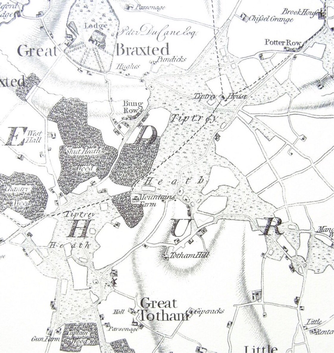
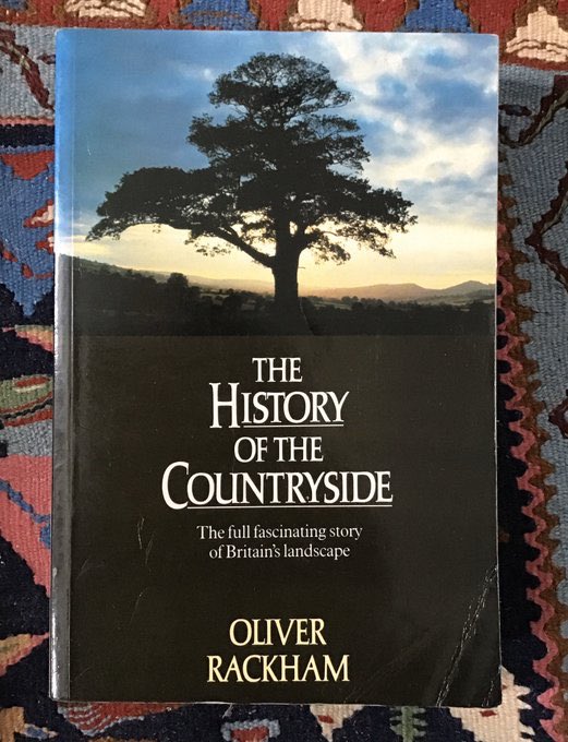
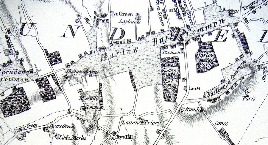
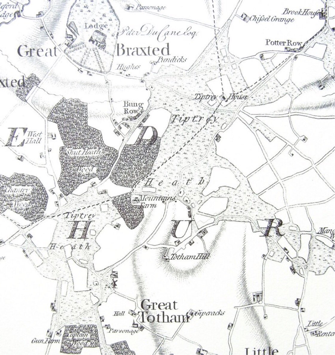
2. The general ‘rules’ for identifying #medieval greens/commons were described by the great Oliver Rackham. There aren’t very many and they can straightforwardly be explored in the landscape today. You’ll see them in this 18thC map of Tiptree Heath, Essex, and ...
3. .. at Harlow Bush Green. They tend to
- have an irregular shape/boundary
- are often defined by rights of way
- islands& #39; of encroachment within them
- are areas where rights of way converge ..
- have an irregular shape/boundary
- are often defined by rights of way
- islands& #39; of encroachment within them
- are areas where rights of way converge ..
- often have funnel-shaped entrances
- and settlement tends to lie along their boundaries.
Not every one will show all these characteristics - each of which is, in any case, part of a looooong process of gradual encroachment whose stages are sometimes visible.
- and settlement tends to lie along their boundaries.
Not every one will show all these characteristics - each of which is, in any case, part of a looooong process of gradual encroachment whose stages are sometimes visible.
(Quick break for lunch ...)
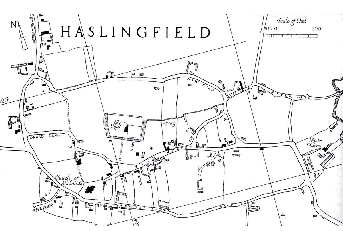
5. But the more of these characteristics there are, the stronger the likelihood that you’re looking at an ancient common/green. So here’s a worked example - from Haslingfield, Cambs. - but the principles can be applied anywhere.
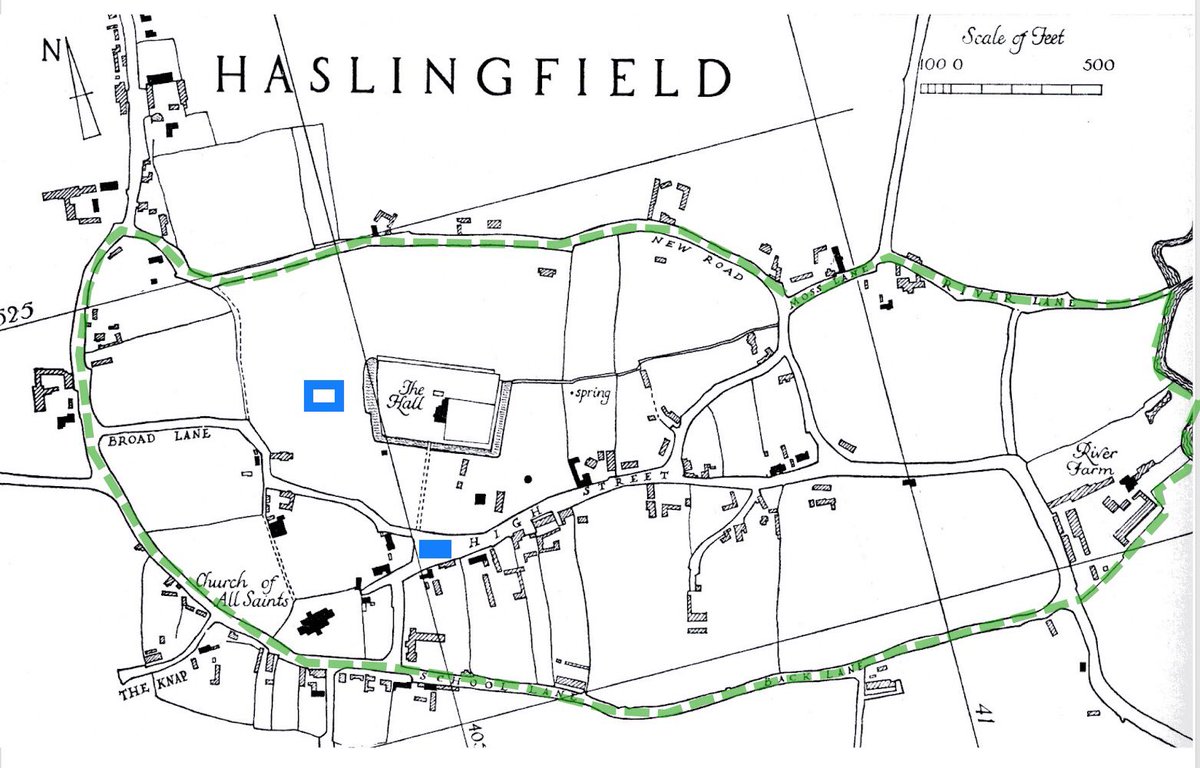
Here’s Haslingfield in the late 1960s...
Here’s Haslingfield in the late 1960s...
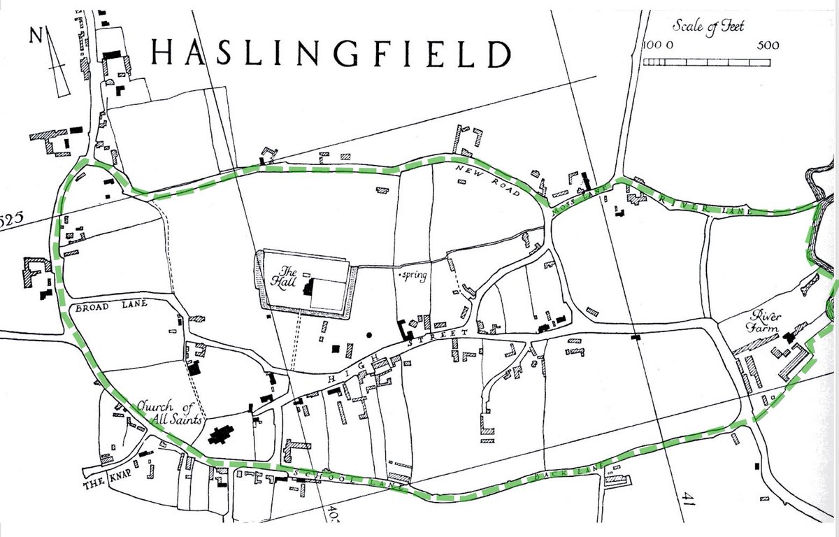
6. The settlement lies around/within an irregular roughly oval shape (tick Rackham), whose boundaries are defined by rights of way (ditto). Lanes within the oval outline islands of encroachment (ditto). No obvious funnel entrances; & settlement lies within and along the boundary.
7. Do any fragments of the green survive? Well, yes! They do! A small triangular area with the village sign (marked just L of the H of High St on the map) & a large open area, marked to the L of the moated Hall.
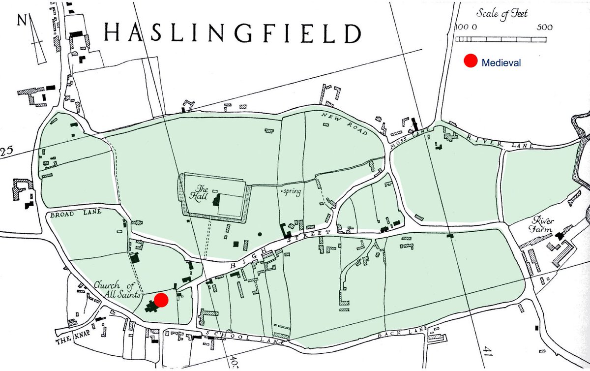
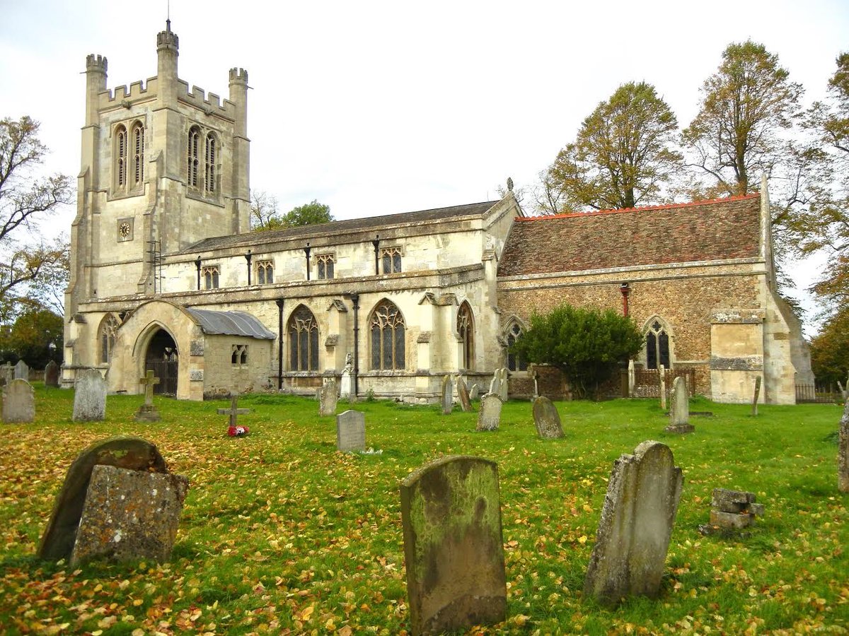
8. The church is the only surviving medieval building on the green. Its position on the edge might suggest that it was one of the earliest encroachments - if there’d already been lots of taking in from the edge, cd one expect the church to be nearer the centre?
9. If we know more/less when the church was built, that will help to date the point by which encroachment by settlement had begun here. A priest was mentioned here in 1086, so people had begun to settle within the green by the later 11thC.
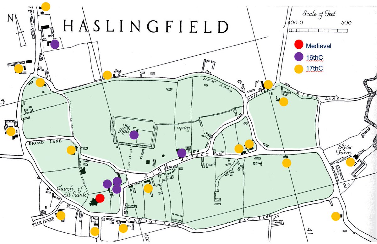
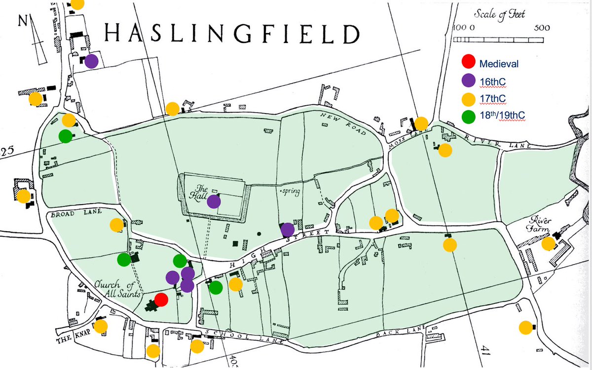
10. If the moat around the Hall is medieval, the most likely period for its construction is c1150-1350 - the openness of the area around it suggests it wasn’t competing for space. By the 16thC settlement was apparently clustered between church & Hall...
11. ... expanding across the green in the 17thC and I filling remaining spaces in the 18/19thC. https://www.british-history.ac.uk/rchme/cambs/vol1/pp136-145.">https://www.british-history.ac.uk/rchme/cam... BUT that assume the surviving buildings were the first on their plots - and that may not have been the case...
12. Luckily the Cambridge Archaeological Field Group has done a lot of work in Haslingfield, finding large amounts of medieval pottery between/around church & Hall ... http://www.cafg.net/docs/reports/CAFG%20Haslingfield%20grey%20report%20April%202014.pdf.">https://www.cafg.net/docs/repo... Th
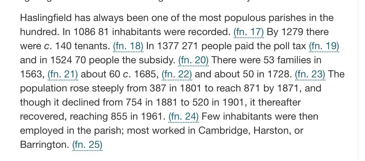
13. ... in exactly the same period that the number of holdings almost doubled - from 81 in 1086 to about 140 in 1279. https://www.british-history.ac.uk/vch/cambs/vol5/pp227-240">https://www.british-history.ac.uk/vch/cambs...
(Oops, got a meeting - back soon  https://abs.twimg.com/emoji/v2/... draggable="false" alt="🏃♀️" title="Woman running" aria-label="Emoji: Woman running">)

 Read on Twitter