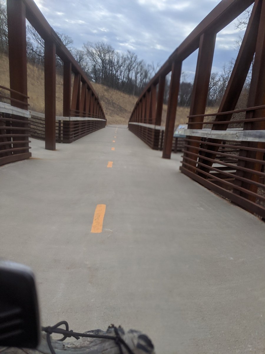
Preparations are underway for me to spend the next five days isolating myself from **literally everyone** in the middle of the woods.
Is this a loaf of bread? No, it& #39;s 11 peanut butter and honey sandwiches!
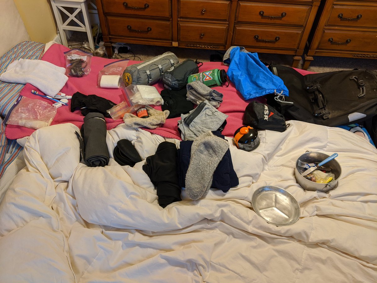
Here& #39;s pretty much all of the gear that I& #39;m taking with me, all laid out. Minus what I& #39;ll be wearing tomorrow, and food.
And here& #39;s all the food I& #39;m packing with me! Normally I& #39;d only take enough for one or two days, but for this social-distancing trip, I& #39;m going to see how long I can go without a grocery run.
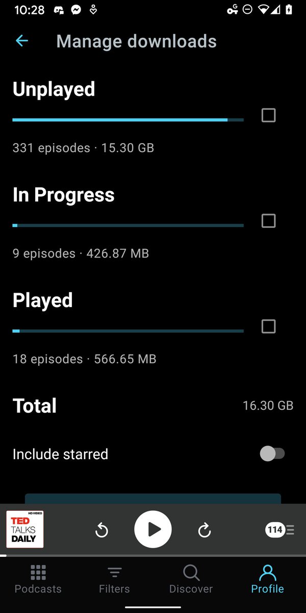
But possibly the most important part of packing: I& #39;ve downloaded a bunch of media onto my phone for the trip.
325 podcast episodes
55 videos
A few ebooks
A couple of audiobooks
325 podcast episodes
55 videos
A few ebooks
A couple of audiobooks
Day 1 progress: rolled into Henderson just after crossing the 100km mark. Good thing, too, I was about to run out of water. I didn& #39;t realize that I wouldn& #39;t be passing any towns in between Carver and Henderson!
Quads are pretty sore, and despite my snack breaks, I& #39;m really hungry. I already took a nap, but I think this will be a longer stop so I can eat a bit more.
There are a lot of motorcyclists out, at least along the Scenic Byway I& #39;m traveling on.
MN-93 is closed just south of Henderson, which complicated things significantly because it& #39;s kind of the only viable route to St Peter. I ended up taking an ill-advised dirt road to US-169, then got off at the next exit for Le Sueur.
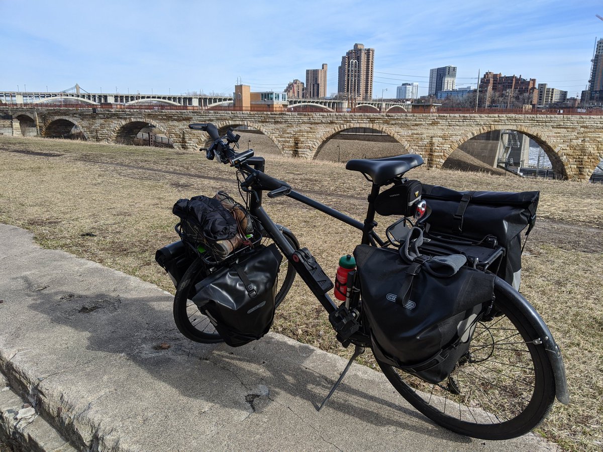
I& #39;ve made it almost to St Peter, and found a nice little spot to make camp. About 120km in all!
Well, I just had a dream about waking up and getting ready to break camp, so I guess it& #39;s time to wake up and get ready to break camp.
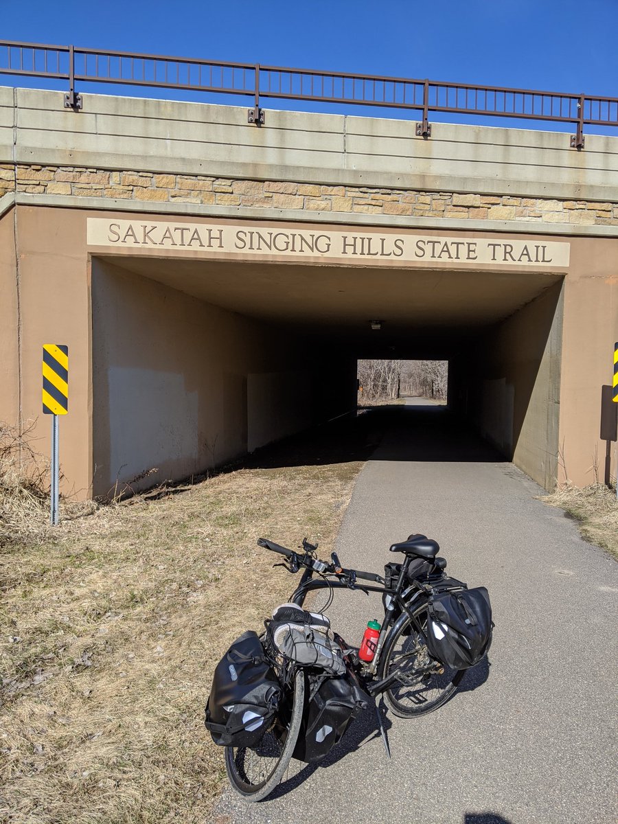
Made it to Sakatah State Trail! Now it& #39;s just 40km of beautiful, paved trail to Sakatah Lake State Park. Should be there in time for lunch and a nap! – at Sakatah Singing Hills State Trail
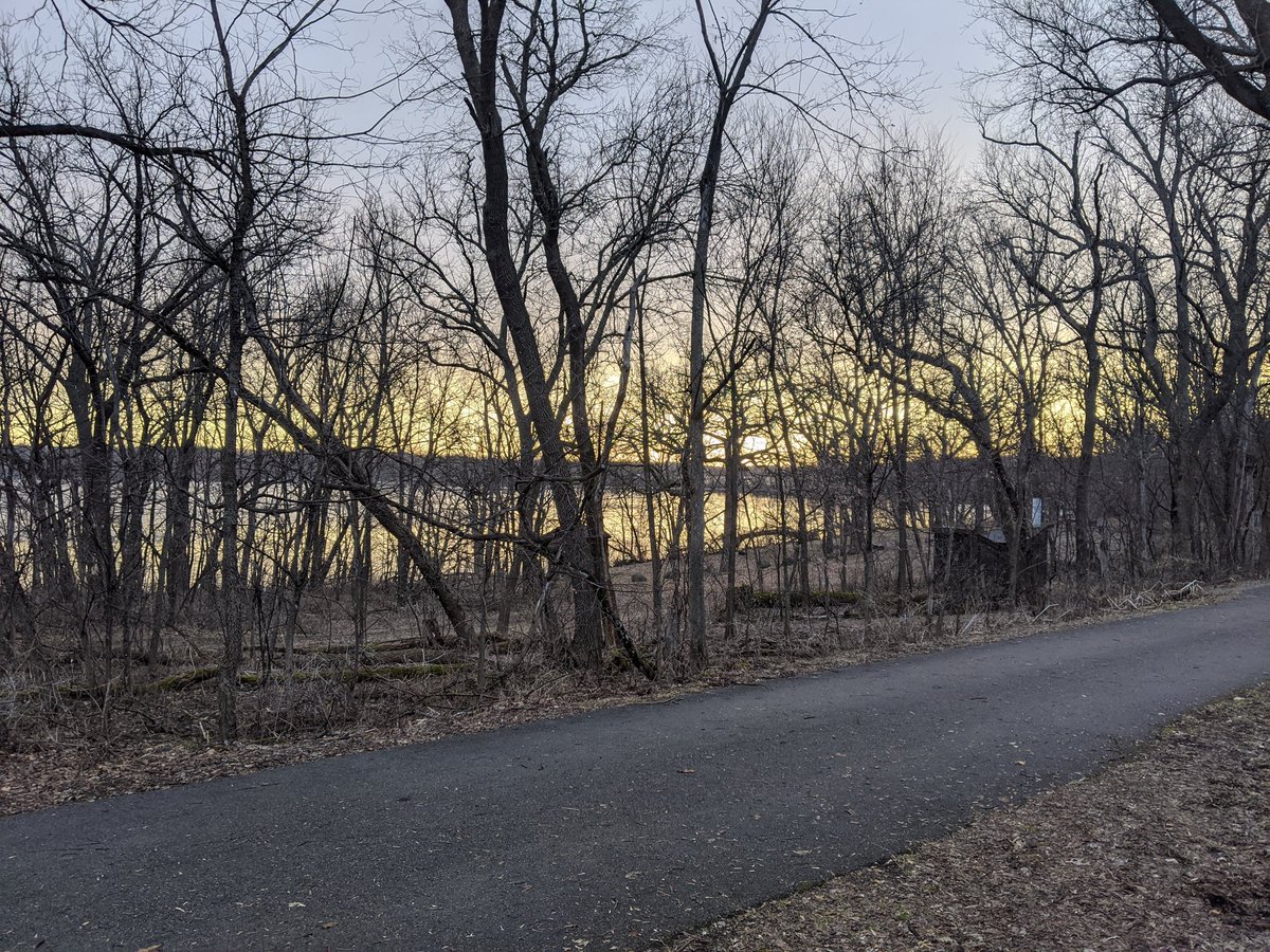
Made it to Sakatah Lake State Park! The views along the trail weren& #39;t spectacular, mostly just farm fields. Passed through some cute little towns though, some of which have trail-facing businesses.
They& #39;re closed, of course. – at Sakatah Lake State Park
They& #39;re closed, of course. – at Sakatah Lake State Park
My energy was flagging the whole way over, and my knee have a worrying twinge once, but I managed to push through.
There were a few places shortly before arriving at the State Park (coming from the west) where the pavement quality was terrible, absolutely killed my momentum. – at Sakatah Lake State Park
There were a few places shortly before arriving at the State Park (coming from the west) where the pavement quality was terrible, absolutely killed my momentum. – at Sakatah Lake State Park
Every bridge the DNR builds on their state trails seems to use the same kind of wood. Pine, I think? I live for that smell. Just huffing that wood every time I cross a bridge. – at Sakatah Lake State Park
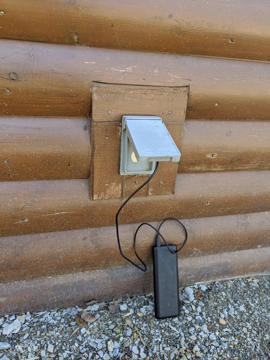
The park& #39;s visitor center is closed, but it still has all the resources I need: outlets (even my 20,000 mAh battery was getting down towards 50%), a spigot, a picnic bench, and wifi! My phone immediately started downloading eight new podcast episodes.  https://abs.twimg.com/emoji/v2/... draggable="false" alt="😆" title="Smiling face with open mouth and tightly-closed eyes" aria-label="Emoji: Smiling face with open mouth and tightly-closed eyes"> – at Sakatah Lake State Park
Dinner this evening is a just-add-water-and-boil tortellini meal. All the comforts of home!
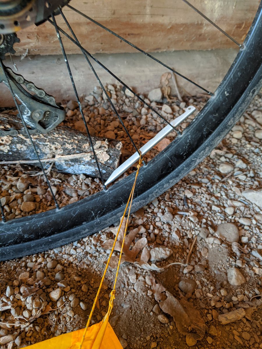
The rocky ground was a little tough to get my tent stakes into, but my bike was right next to it, so I got a little creative. – at Sakatah Lake State Park
The rocky ground was a little tough to get my tent stakes into, but my bike was right next to it, so I got a little creative. – at Sakatah Lake State Park
Well, I just had a dream about someone making fun of me for wearing the same outfit for several days. I guess it& #39;s time to wake up and put on the same clothes I was wearing yesterday.
Made it to Faribault, about halfway along my journey to Nerstrand Big Woods State Park. Stopping for a second breakfast. Shout out to these folks from the Faribault Flyers Bike and Ski Club for providing a spot for me to rest my bum. – at White Sands Trailhead Dog Park
I& #39;ve never been to Nerstrand Big Woods, but I hear it& #39;s great. What things should I make sure I check out while I& #39;m there?
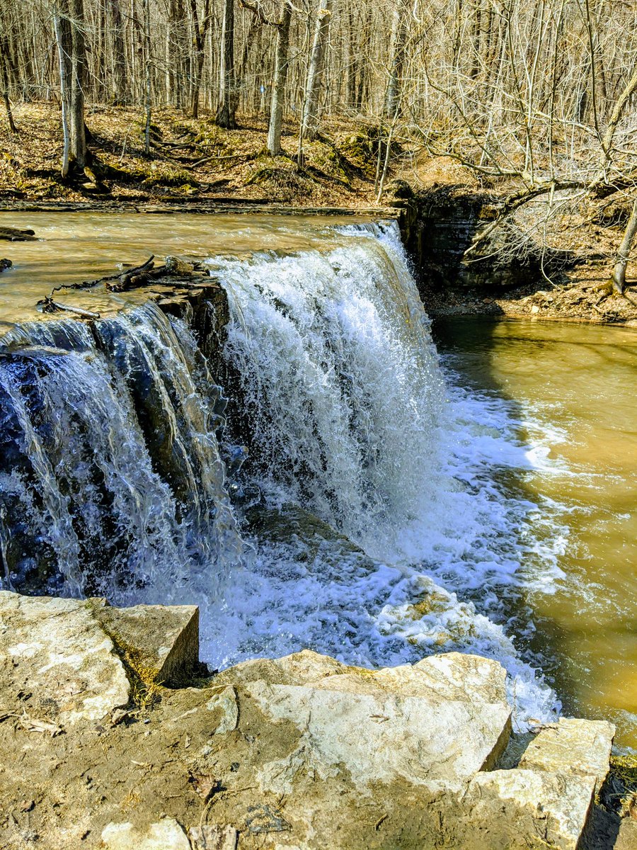
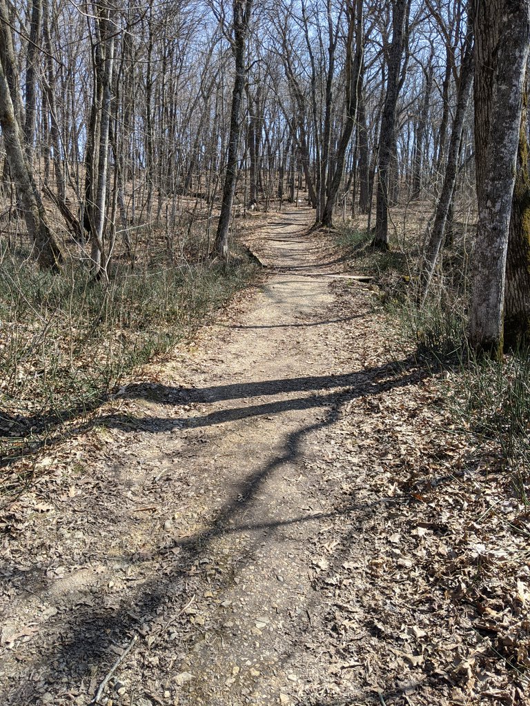
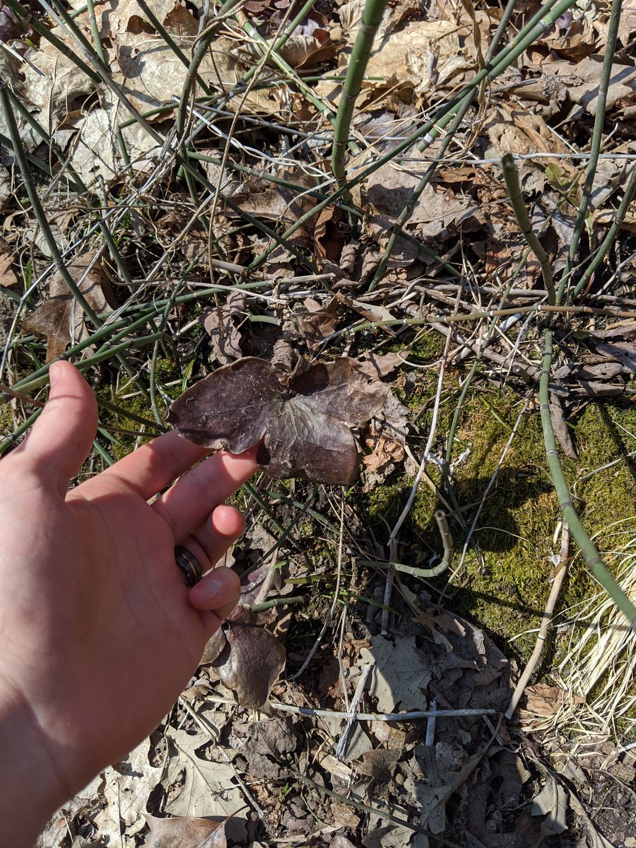
Made it to the Big Woods! Looks like there are lots of trails to check out. Since there are no leaves on the trees nor wildflowers on the prairie, I& #39;m going to check out the waterfall.
(Also, this is the first place on my trip where I haven& #39;t had LTE coverage. 3G!) – at Nerstrand Big Woods State Park
(Also, this is the first place on my trip where I haven& #39;t had LTE coverage. 3G!) – at Nerstrand Big Woods State Park
Let me tell you, being out on a hike in a state park at 1pm on the first Wednesday is way spookier than being at home. Where would I even shelter out here? – at Nerstrand Big Woods State Park
Took until the third evening of this trip, but I& #39;ve finally been treated to a chorus of coyotes howling to each other.
Or maybe those are dogs on somebody& #39;s farm. ¯\_(ツ)_/¯ – at Nerstrand Big Woods State Park
Or maybe those are dogs on somebody& #39;s farm. ¯\_(ツ)_/¯ – at Nerstrand Big Woods State Park
Weird, I went to sleep with 3G and woke up with LTE. I didn& #39;t just do a Rip Van Winkle, did I? It& #39;s still April 2020, right? – at Nerstrand Big Woods State Park
Goodbye, Nerstrand! It& #39;s been real.
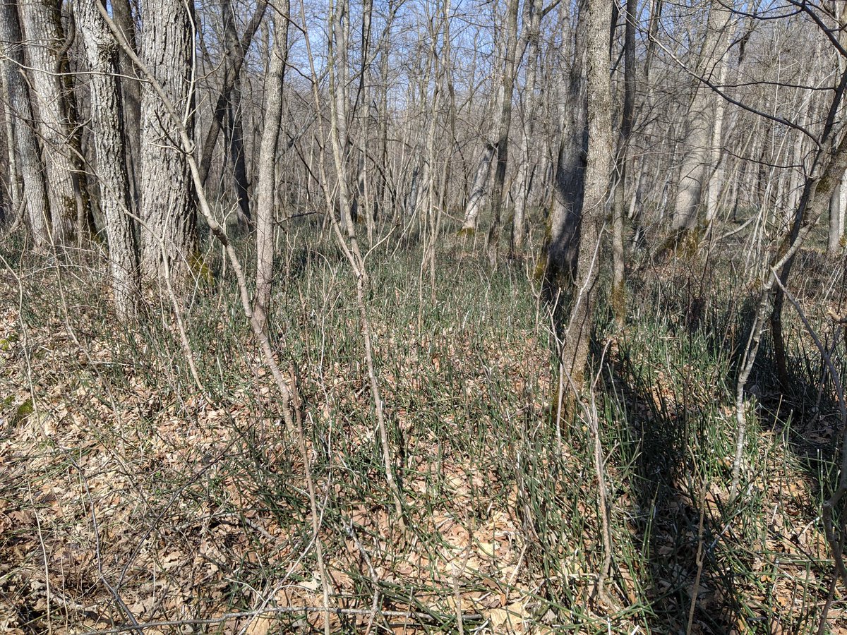
I& #39;ll have to come back when the vegetation is more active. – at Nerstrand Big Woods State Park
I& #39;ll have to come back when the vegetation is more active. – at Nerstrand Big Woods State Park
Made it to Cannon Falls, a town I& #39;m fairly familiar with because I used to work at a camp nearby.
It was real rough going; lots of wind from the southeast, and my route alternated going east and going north.
It was real rough going; lots of wind from the southeast, and my route alternated going east and going north.
You hate to see it.
Seriously, if you close a bike route, you are morally obligated to provide a detour. – at Cannon Falls Trailhead
Seriously, if you close a bike route, you are morally obligated to provide a detour. – at Cannon Falls Trailhead
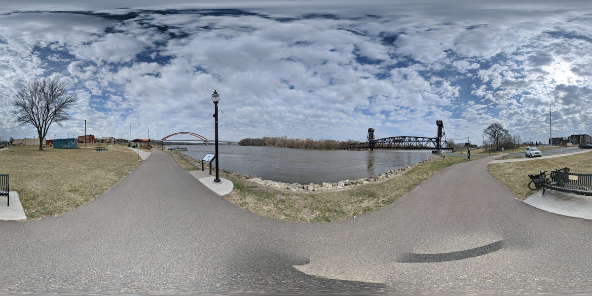
Since the Cannon Valley Trail is closed (which was the entire point of that corner of the triangle) I went straight from Cannon Falls to Beautiful, Historic, Downtown Hastings.
Click the link to see the picture as a full photosphere.
https://photos.app.goo.gl/o5meko4xKURf2vFm9">https://photos.app.goo.gl/o5meko4xK... – at Levee Park
Click the link to see the picture as a full photosphere.
https://photos.app.goo.gl/o5meko4xKURf2vFm9">https://photos.app.goo.gl/o5meko4xK... – at Levee Park
I& #39;m feeling good, and it& #39;s only noon, and the forecast says 32°F and rain overnight, so I& #39;m going to make this a long day and push through to home. Wish me luck! – at Levee Park
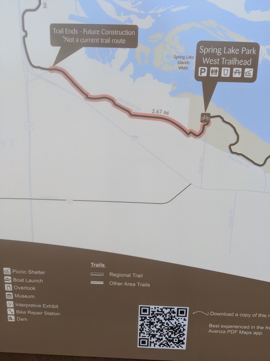
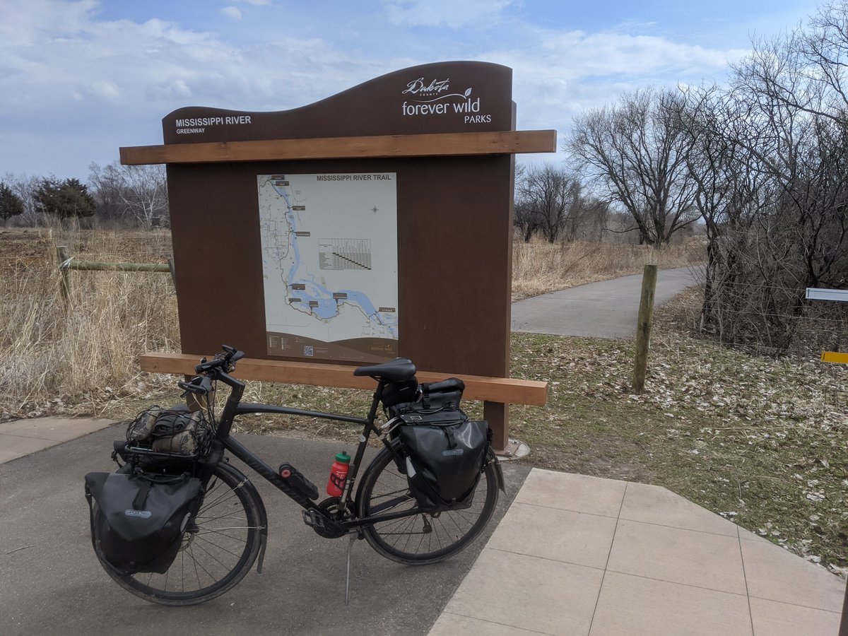
Part of the reason I chose the Hastings to St Paul portion of the trip is because I had heard that there is a new trail that allows you to get from one to the other entirely off-street.
That is mostly true, but there& #39;s still a 3.5km segment that& #39;s coming in the future.
That is mostly true, but there& #39;s still a 3.5km segment that& #39;s coming in the future.
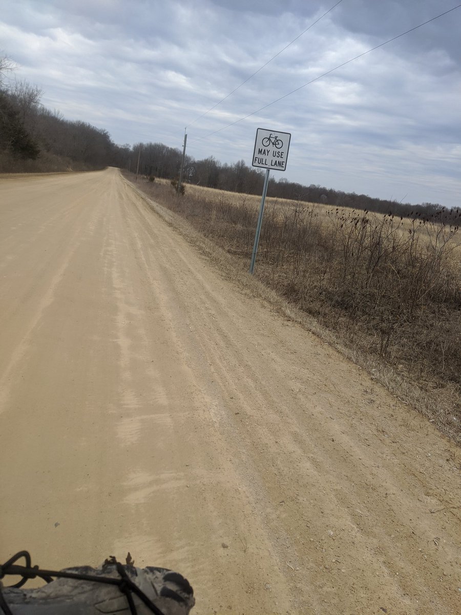
Add a result, I ended up taking a gravel road (with a hilarious "bikes may use full lane" sign) and had to hop a fence to get back on the trail.
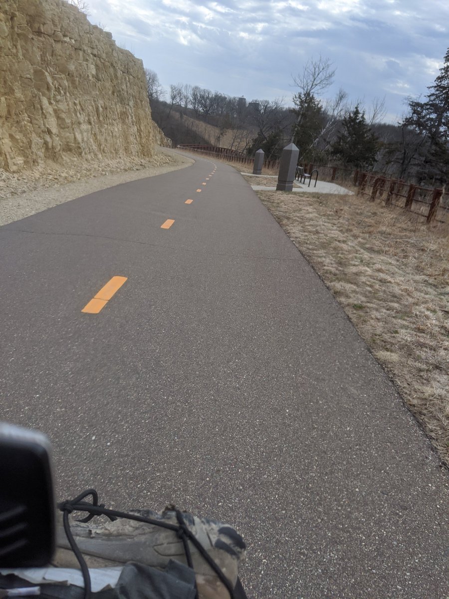
The rest of the trail is super pleasant! And as I got further into the Cities, I noticed that Dakota County has done a really good job putting up wayfinding signs at every conceivable junction. – at Spring Lake Regional Park
When the trail ends at Kaposia Landing and dropped me off on Concord St, there was a bunch of police activity just north of me, diverting traffic up Butler Ave.
I decided to check out Kaposia Park instead, and... going up that hill after 100km of riding was not ideal.
I decided to check out Kaposia Park instead, and... going up that hill after 100km of riding was not ideal.

 Read on Twitter







 – at Sakatah Lake State Park" title="The park& #39;s visitor center is closed, but it still has all the resources I need: outlets (even my 20,000 mAh battery was getting down towards 50%), a spigot, a picnic bench, and wifi! My phone immediately started downloading eight new podcast episodes. https://abs.twimg.com/emoji/v2/... draggable="false" alt="😆" title="Smiling face with open mouth and tightly-closed eyes" aria-label="Emoji: Smiling face with open mouth and tightly-closed eyes"> – at Sakatah Lake State Park" class="img-responsive" style="max-width:100%;"/>

