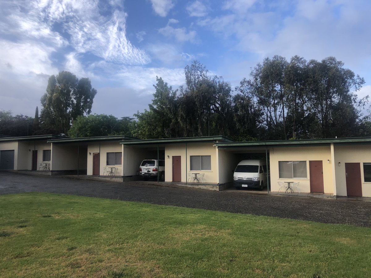
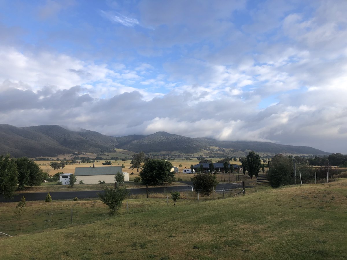
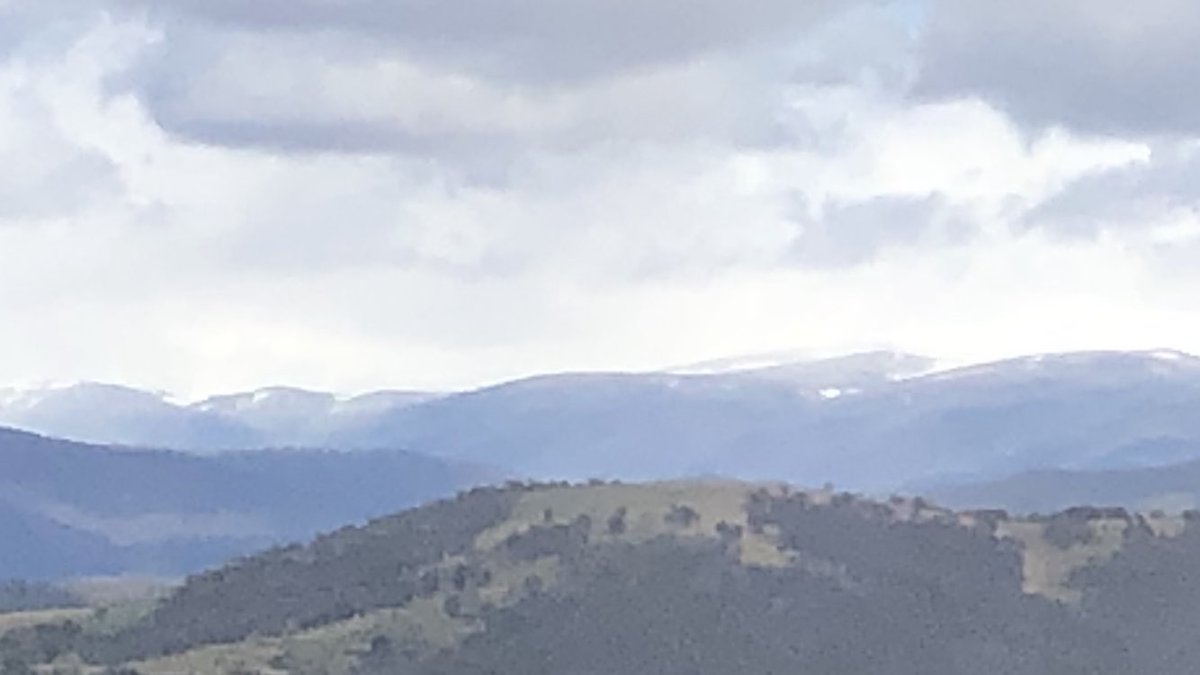
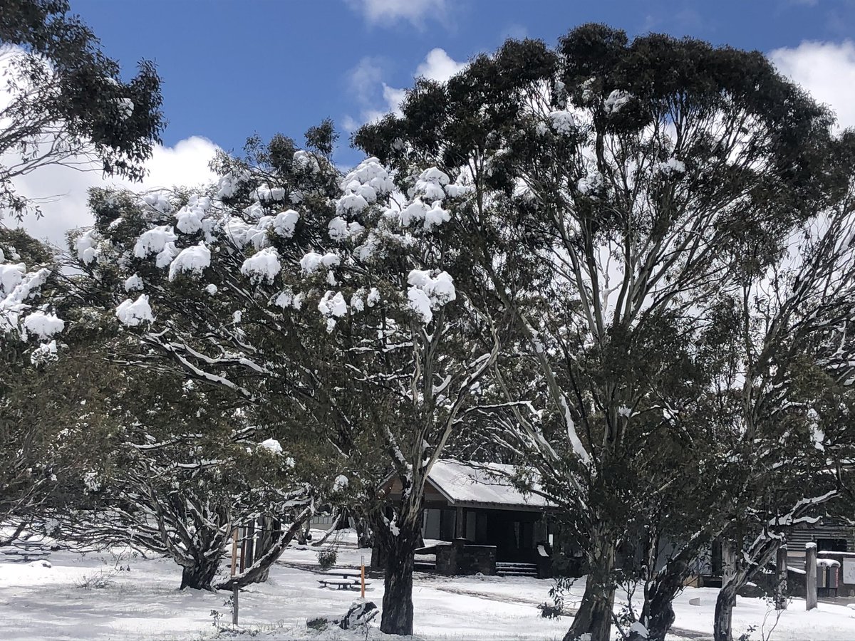
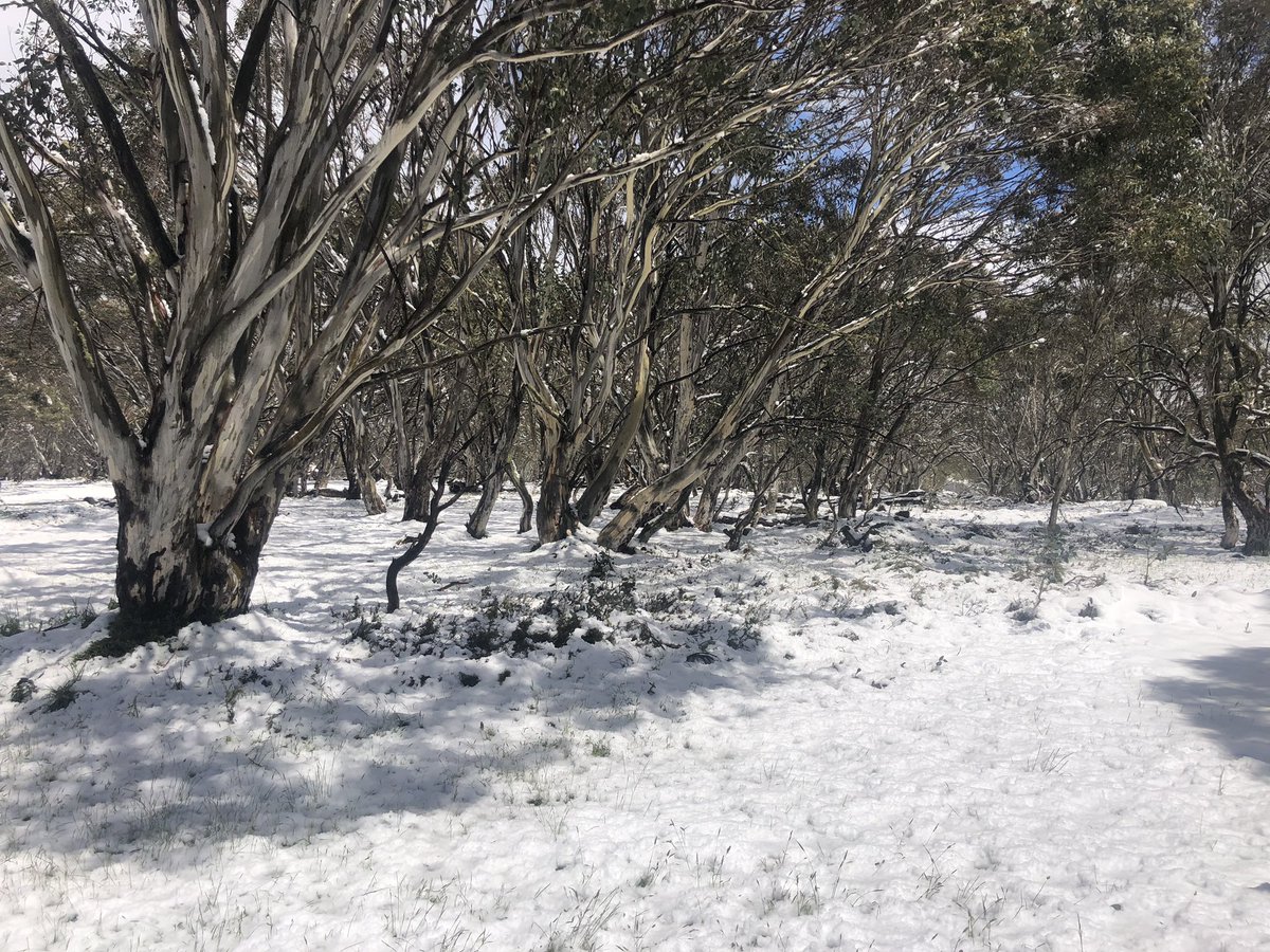
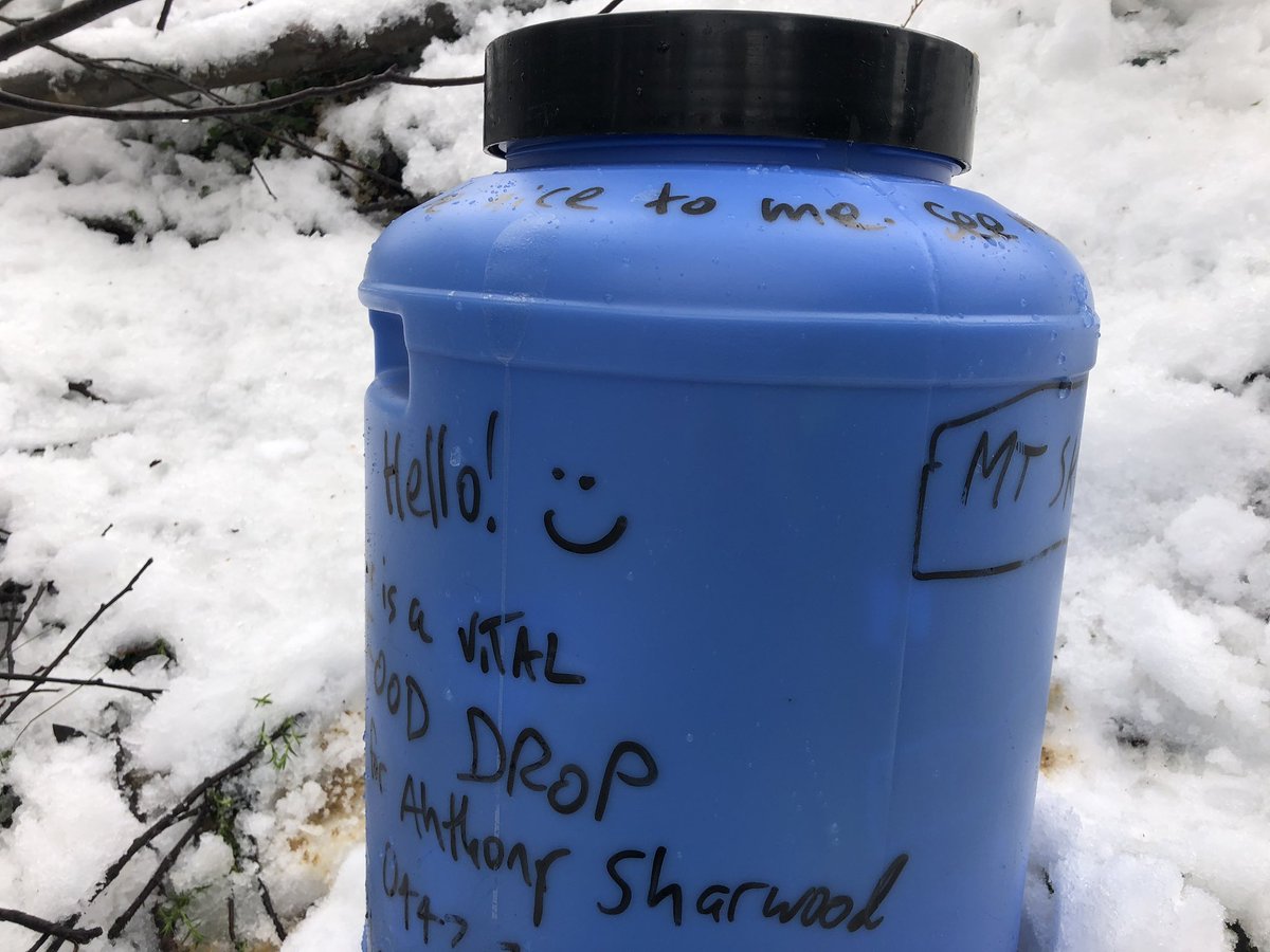
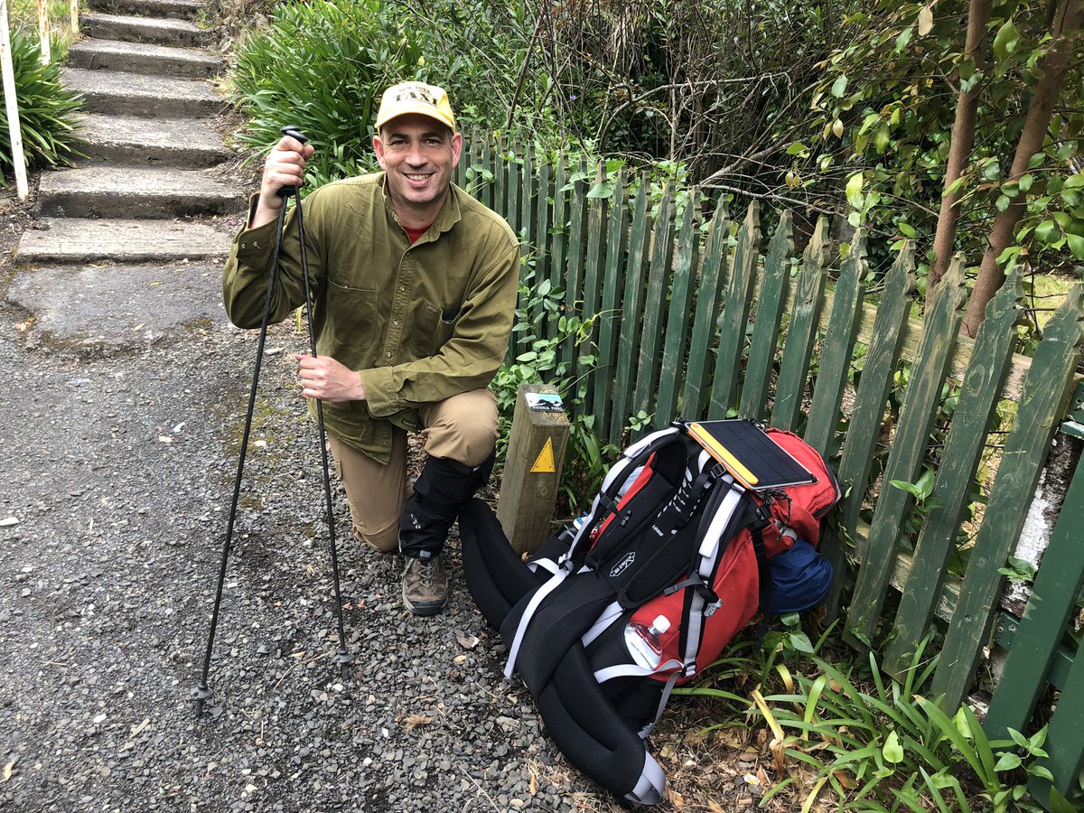
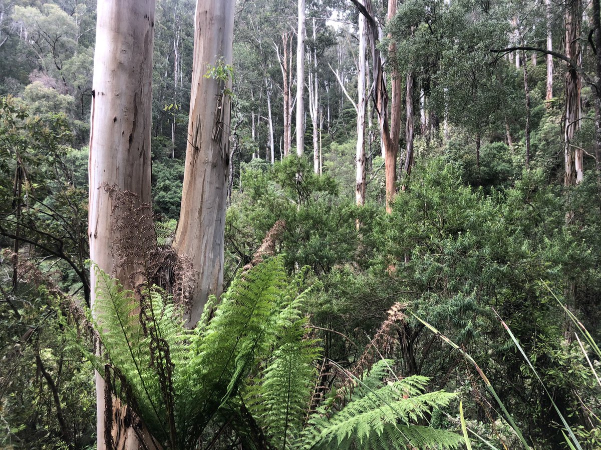
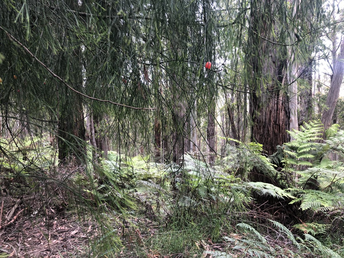
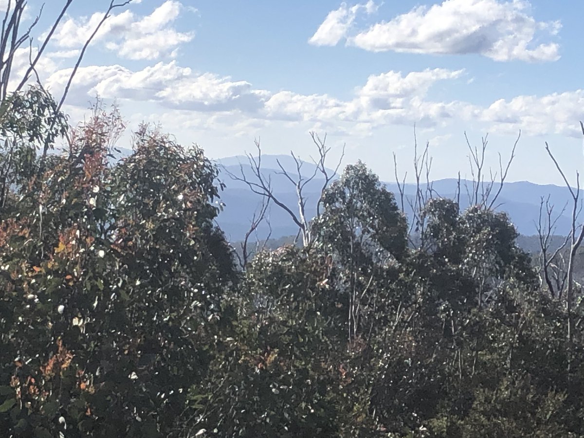
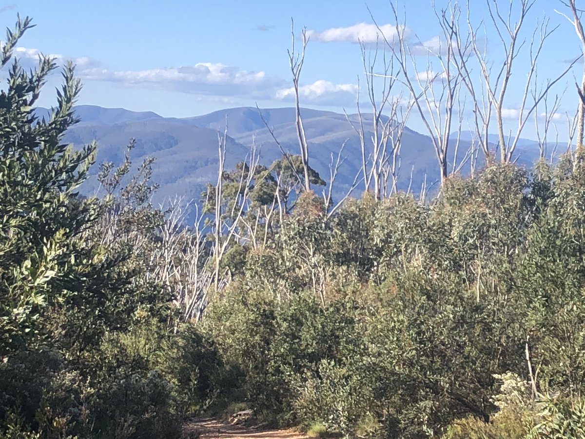
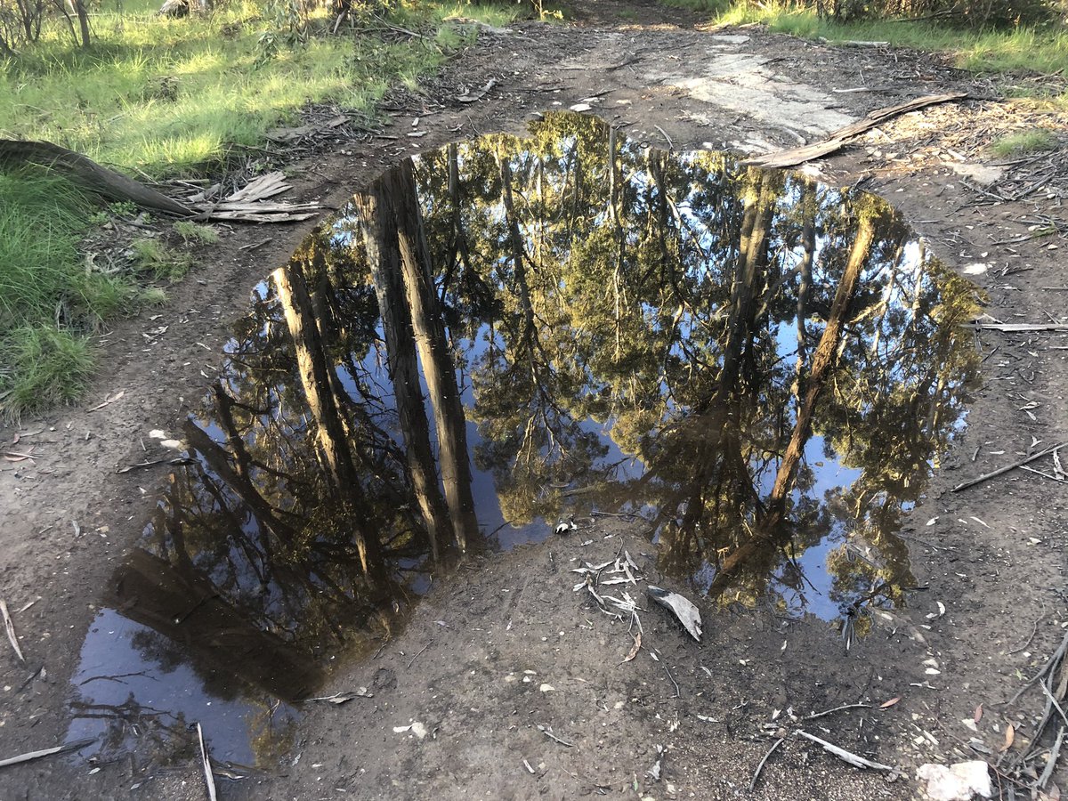
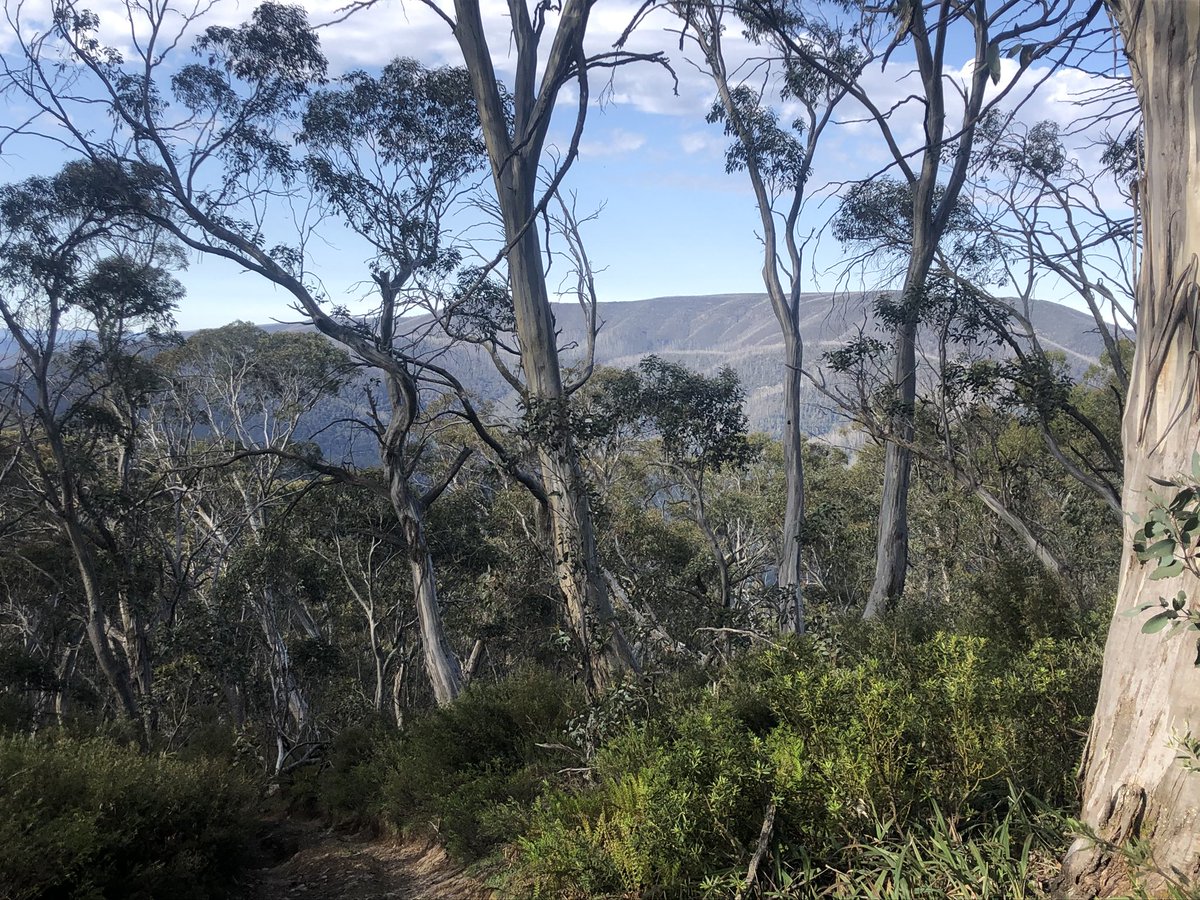
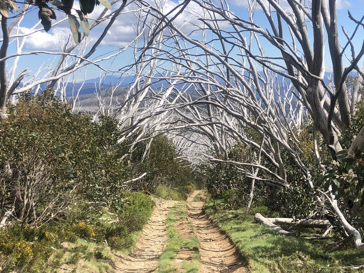
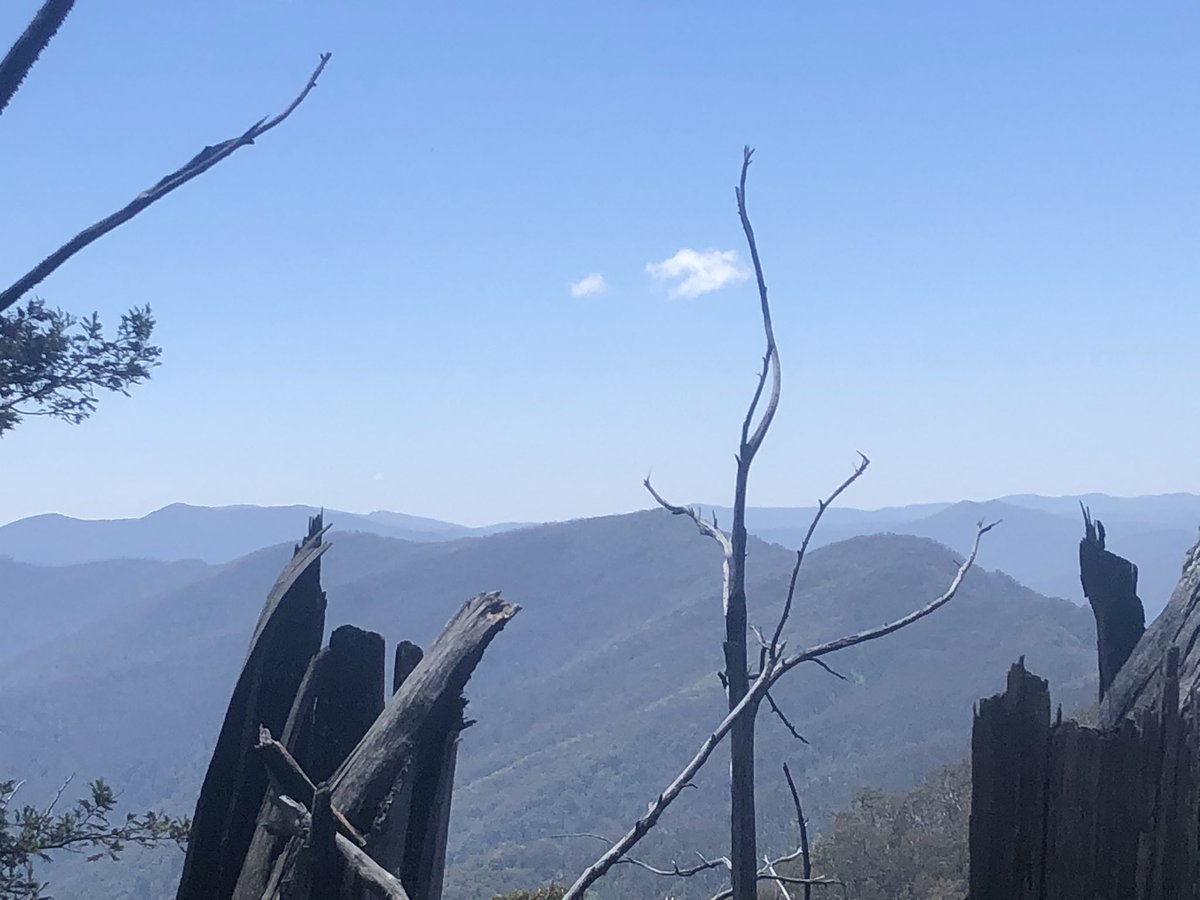
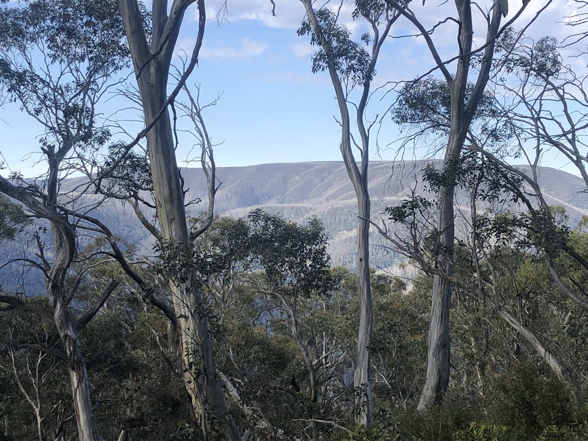
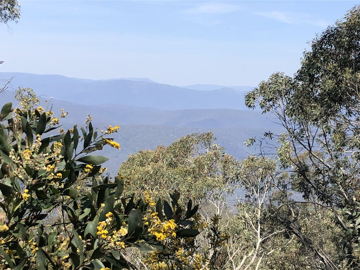
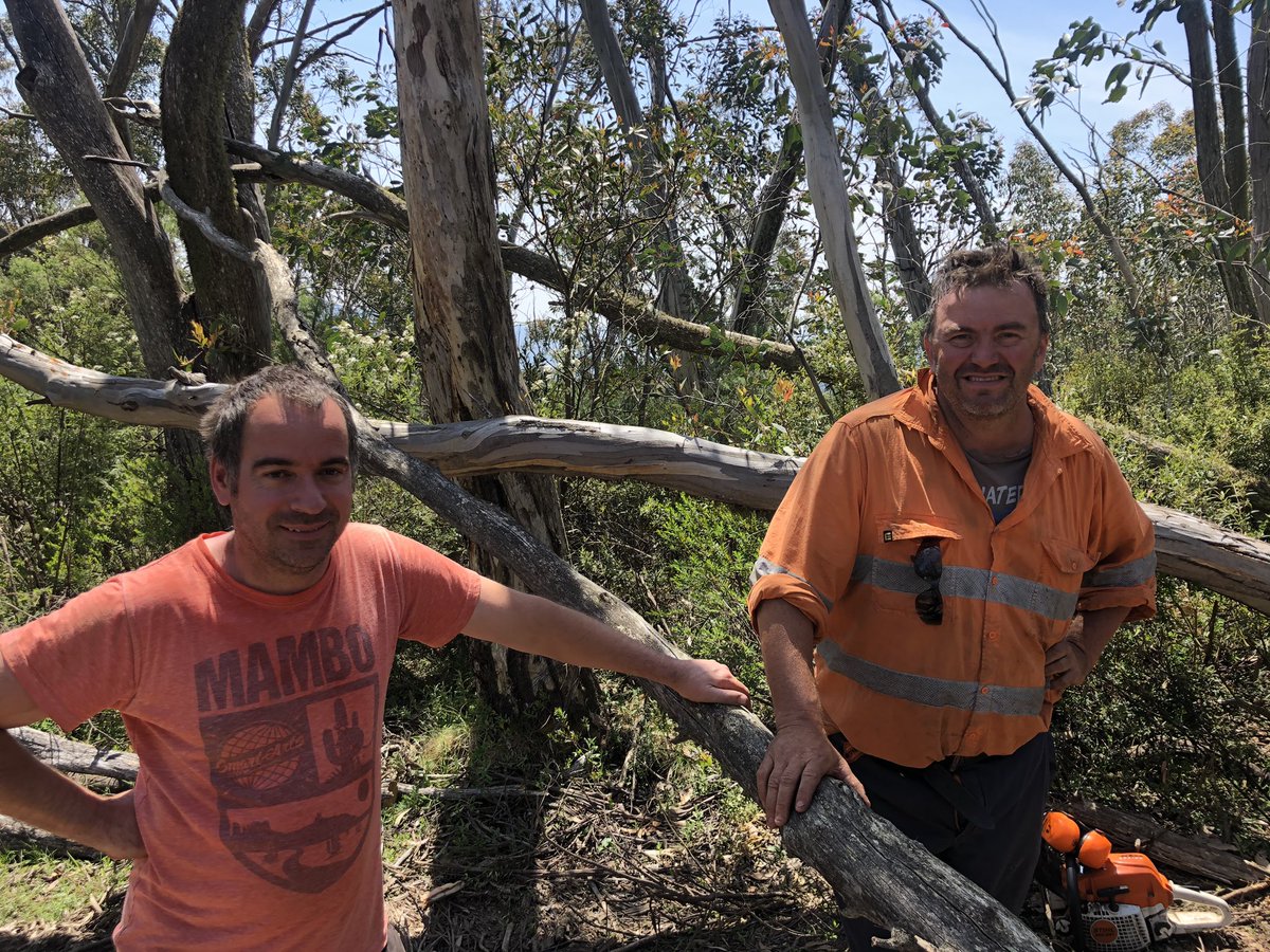
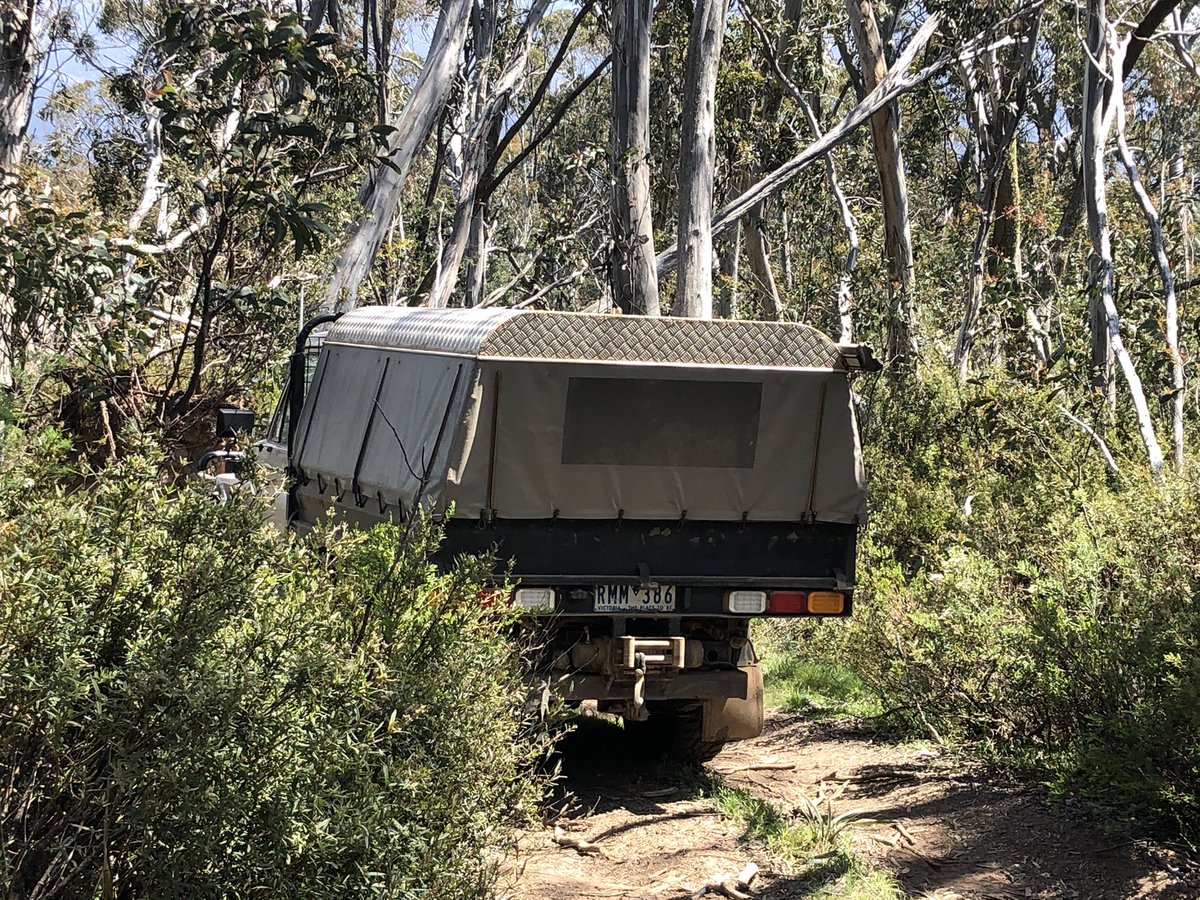
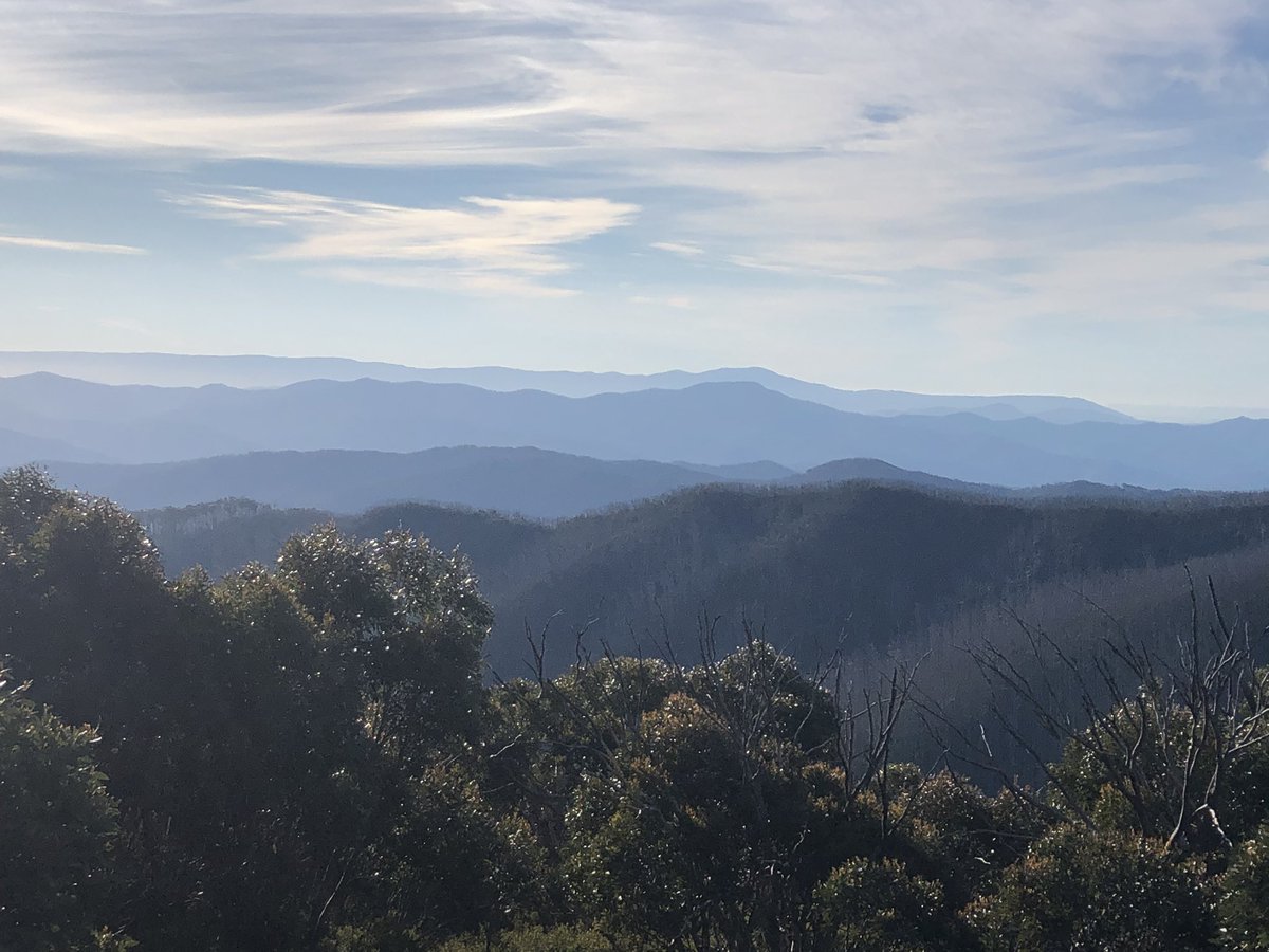
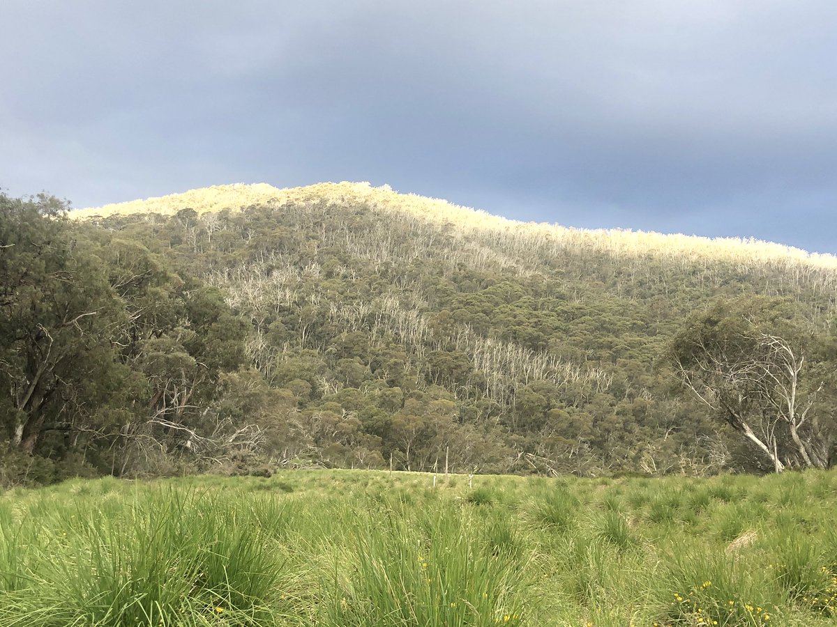
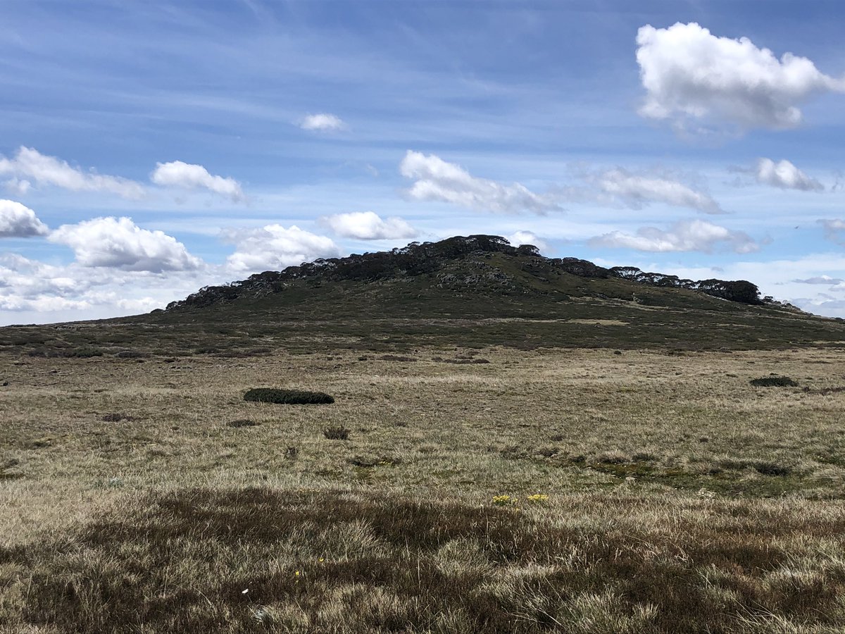
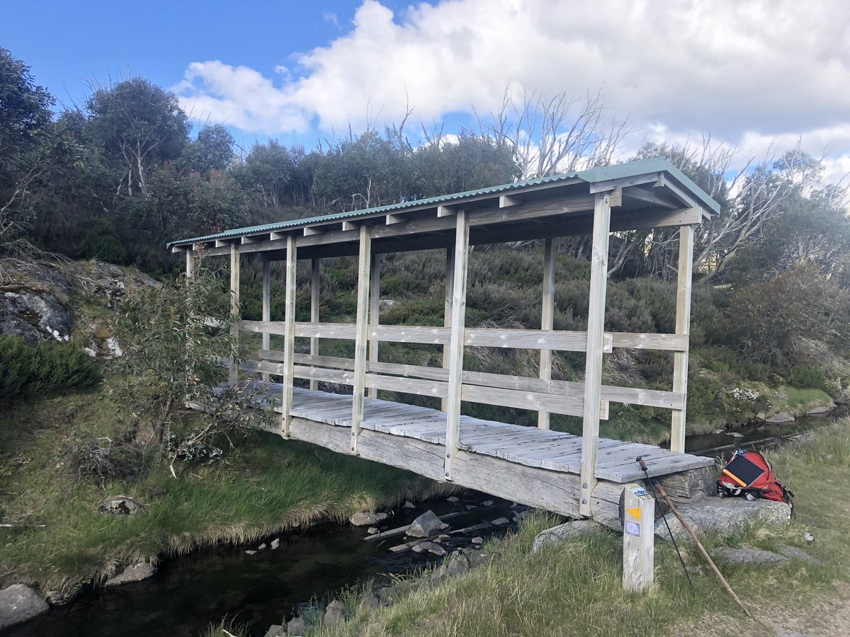
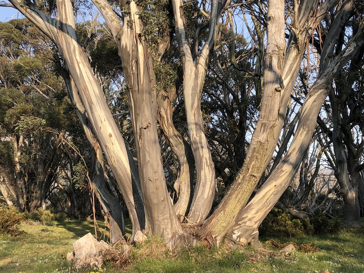
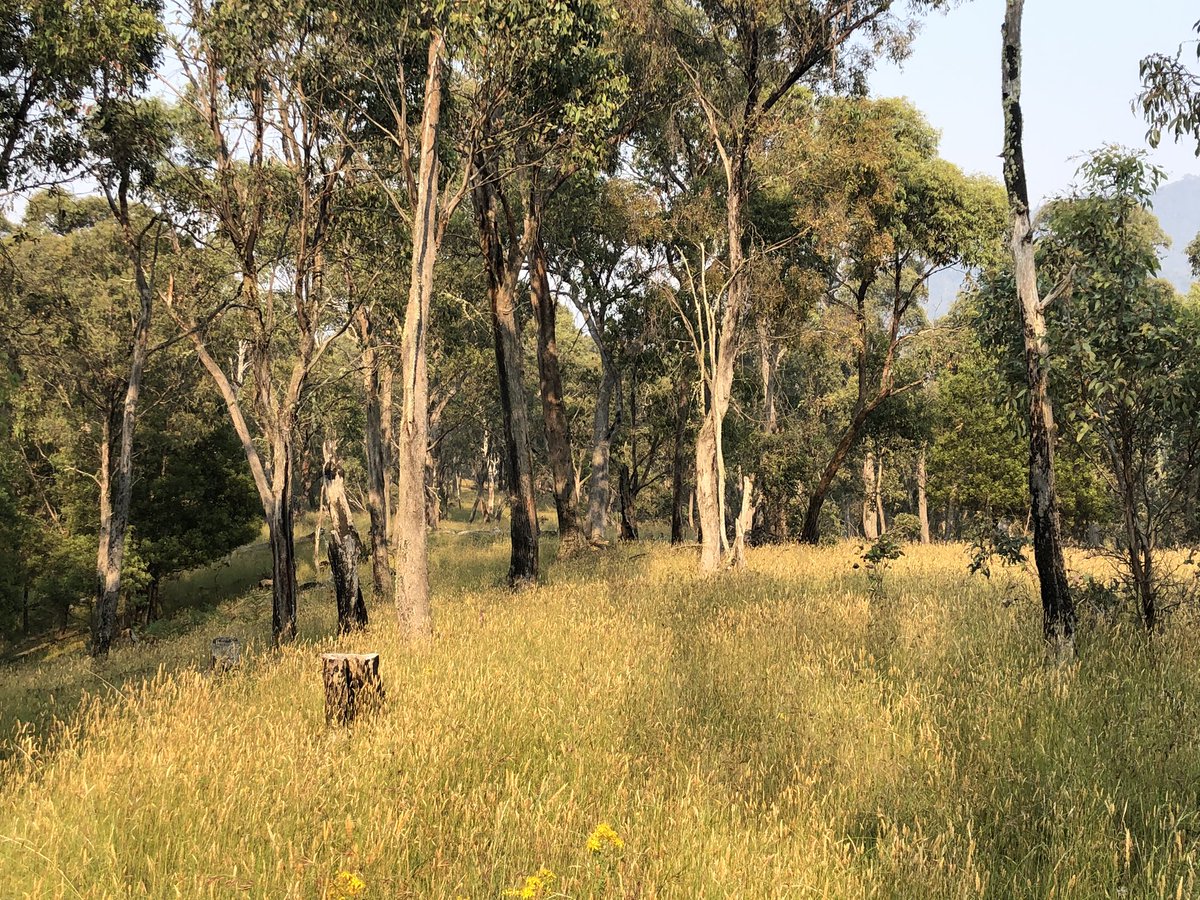
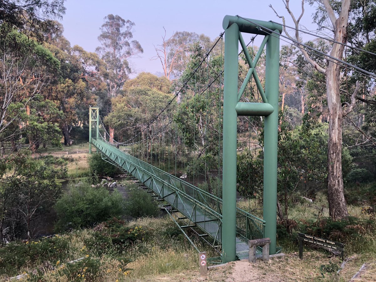
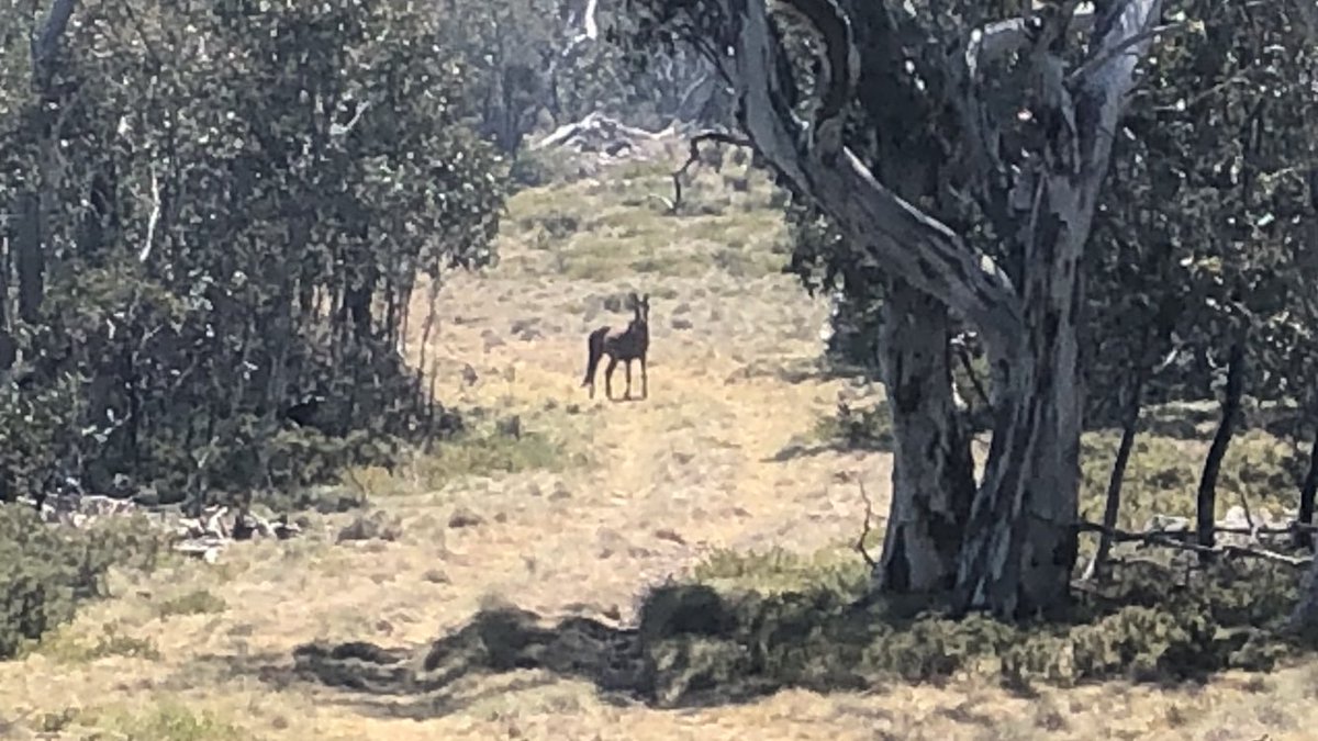
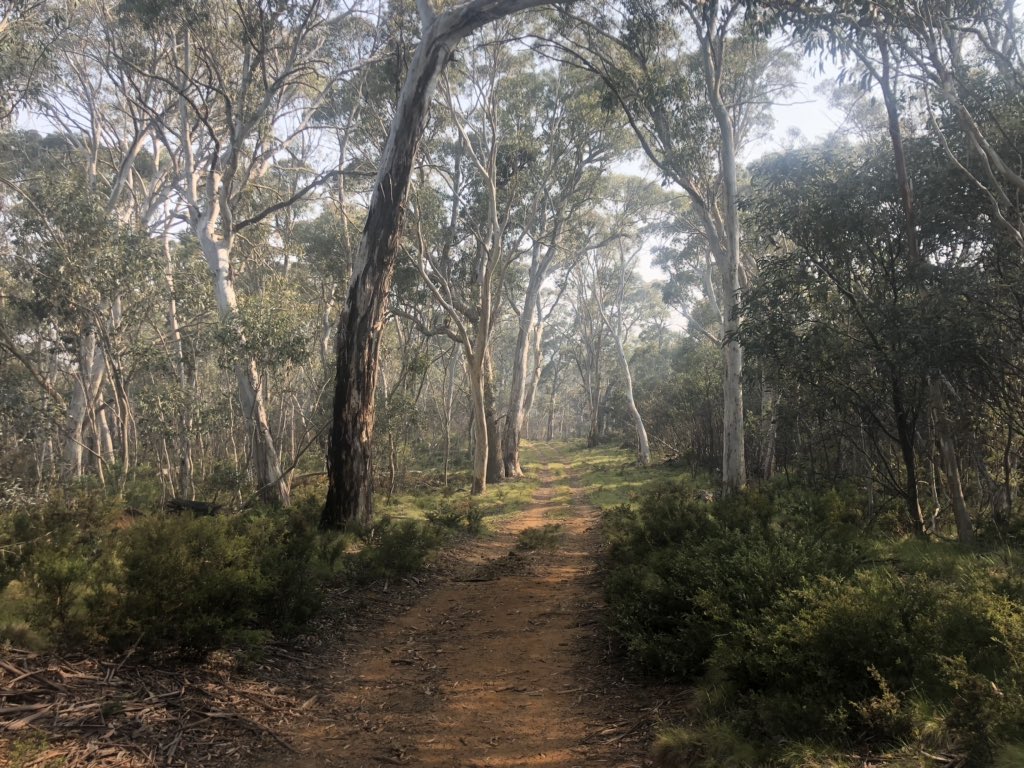
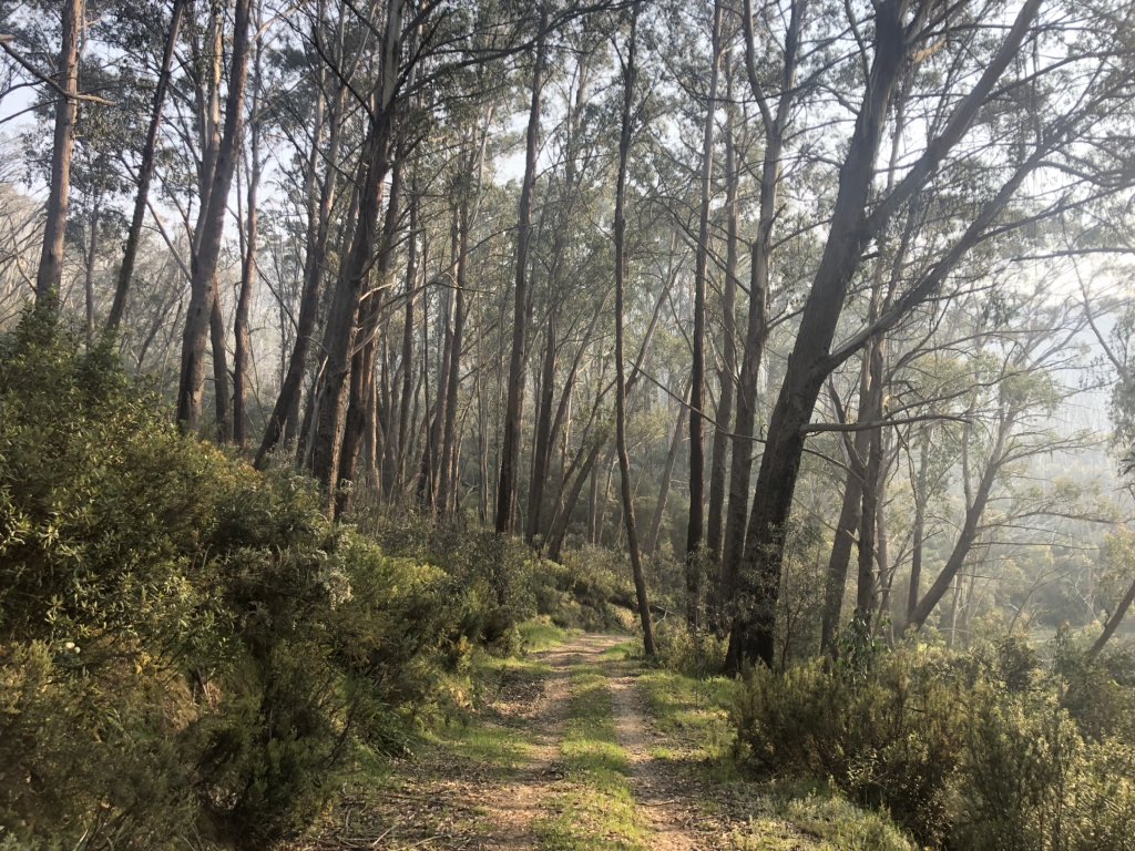
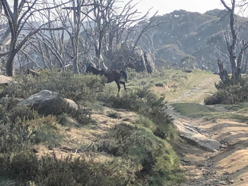
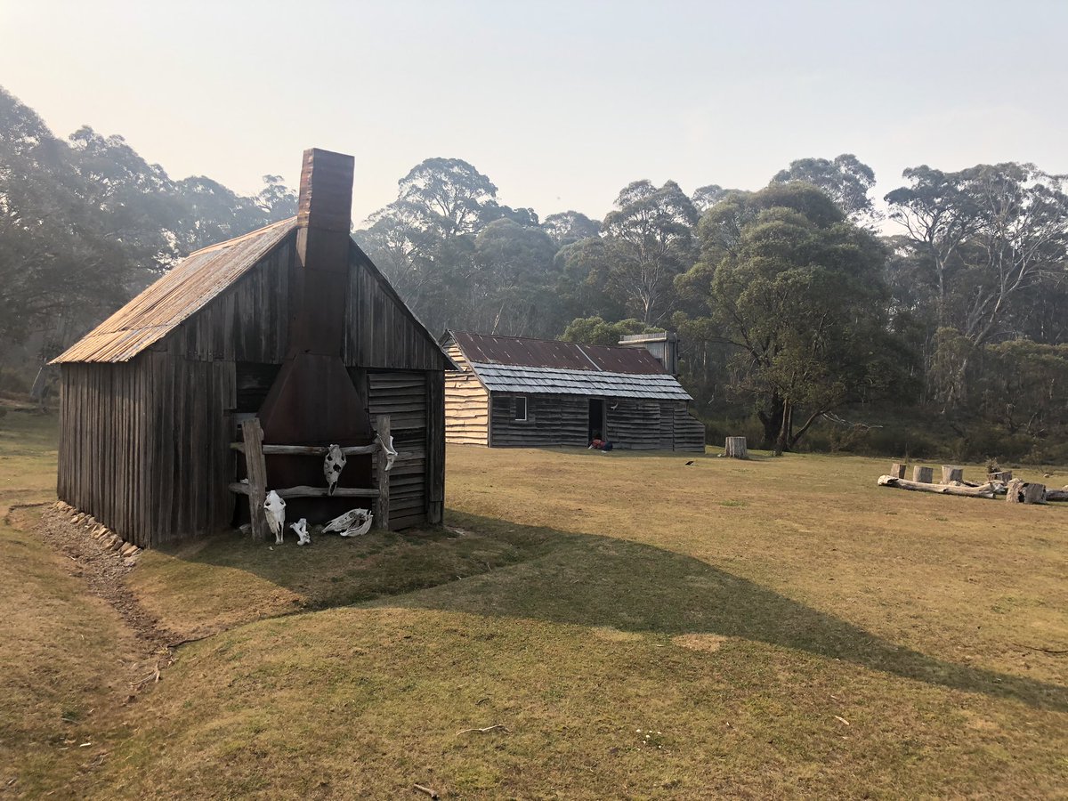
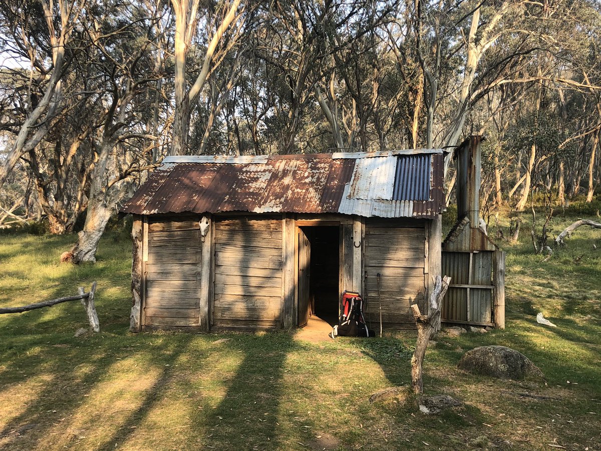
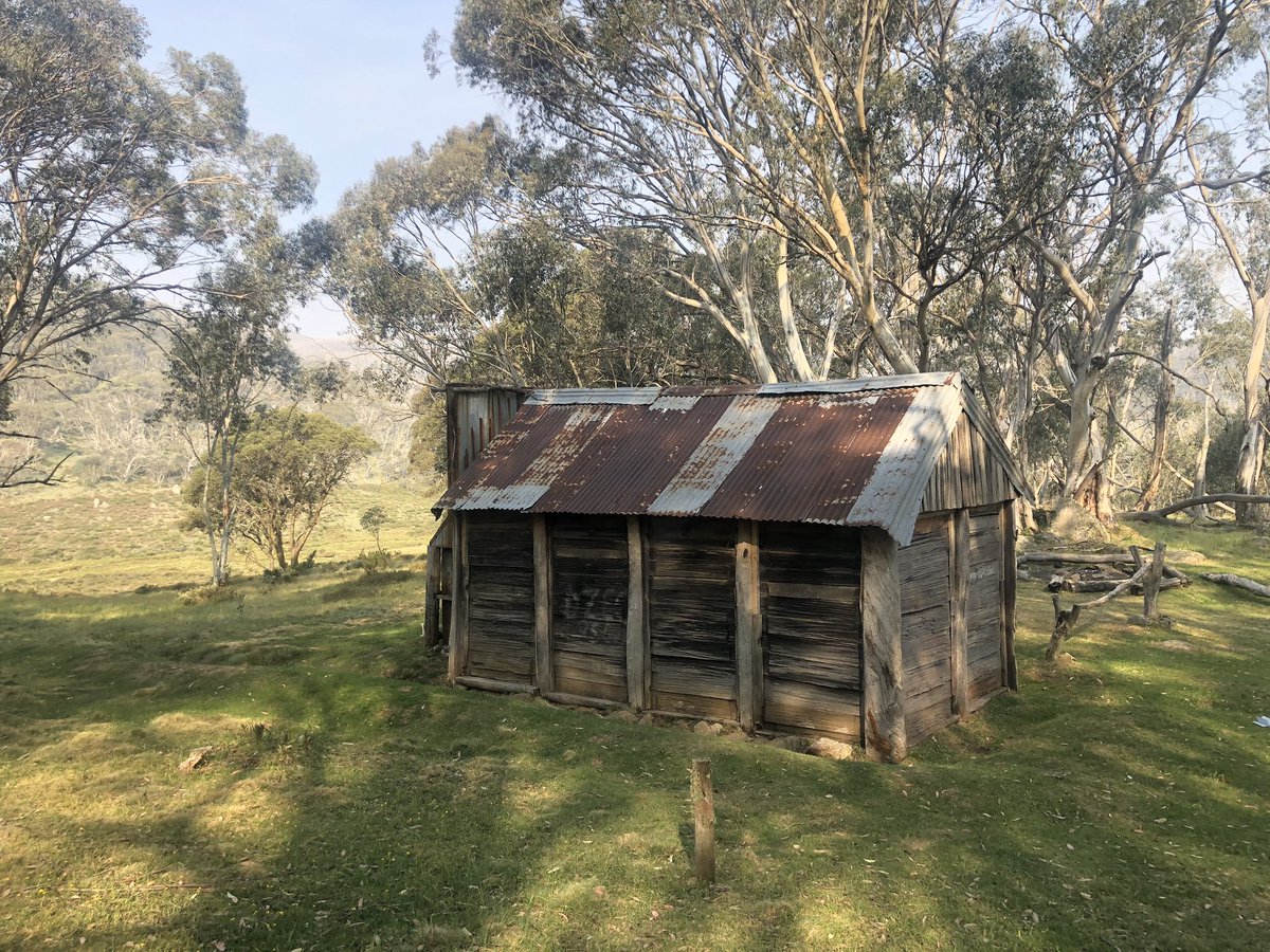
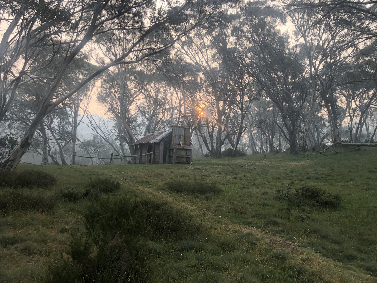
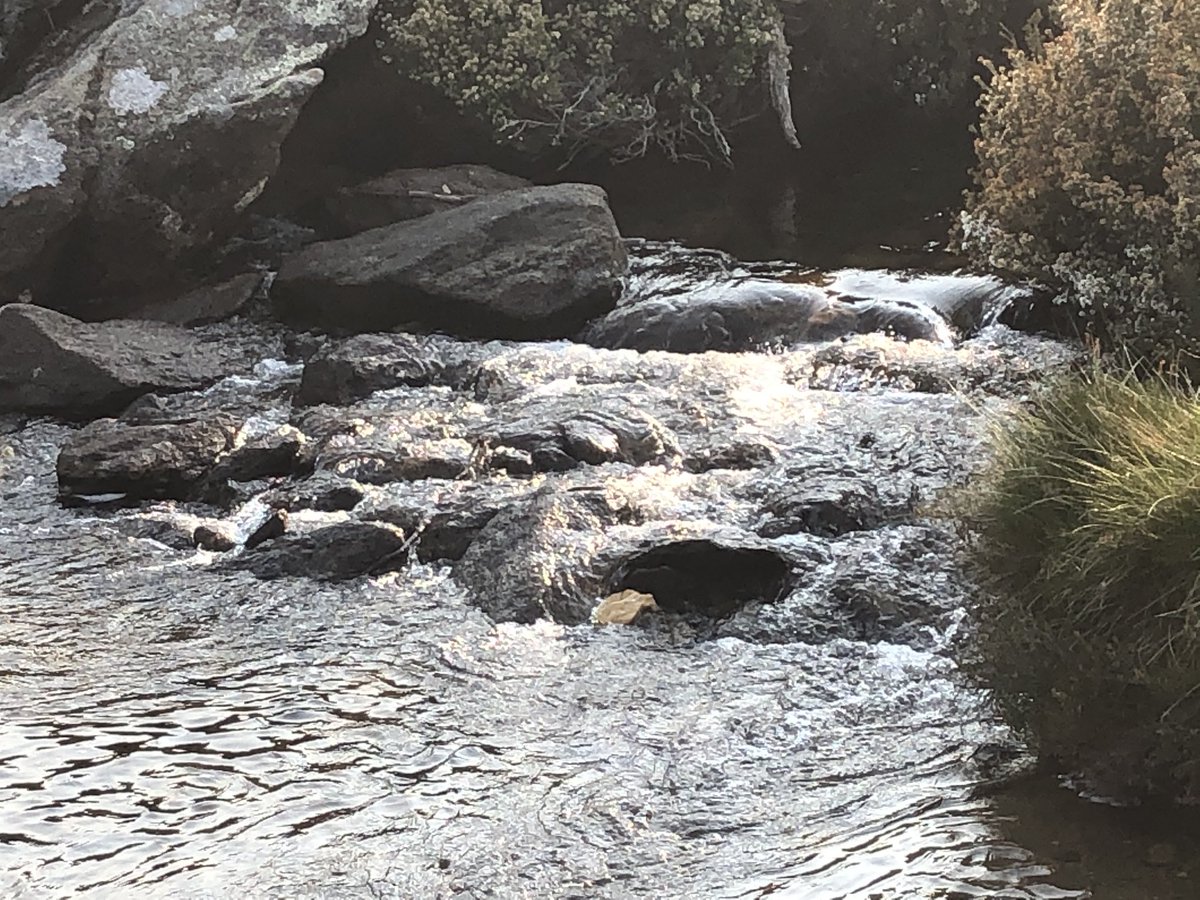
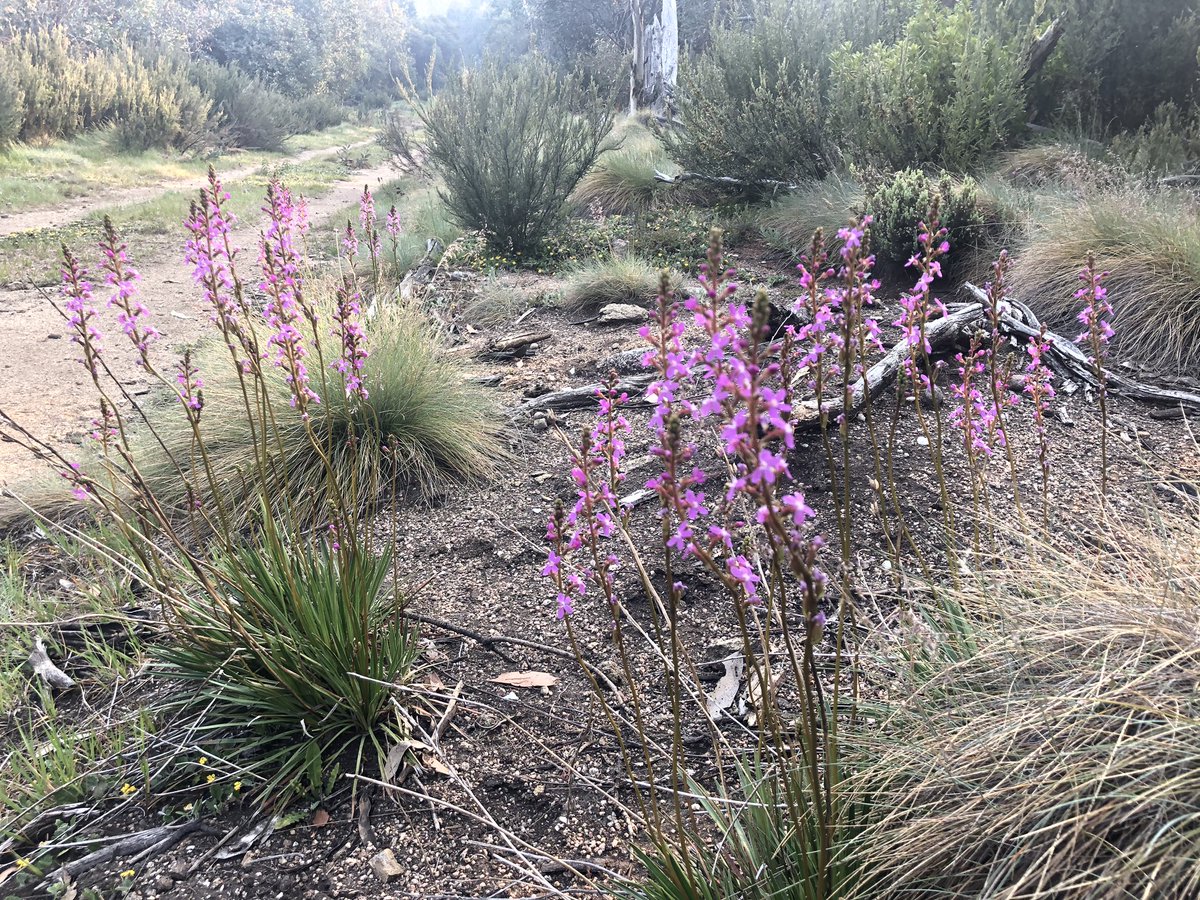
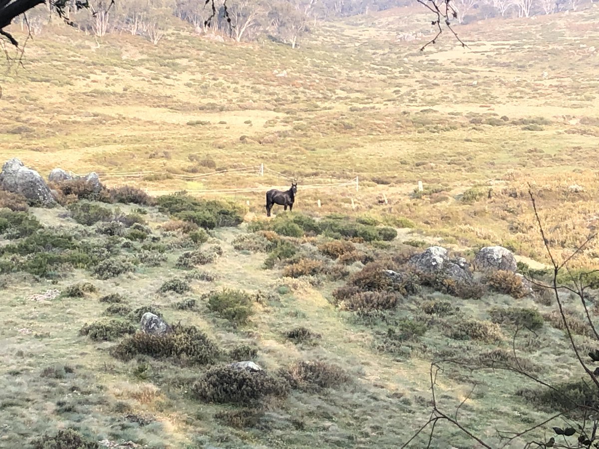
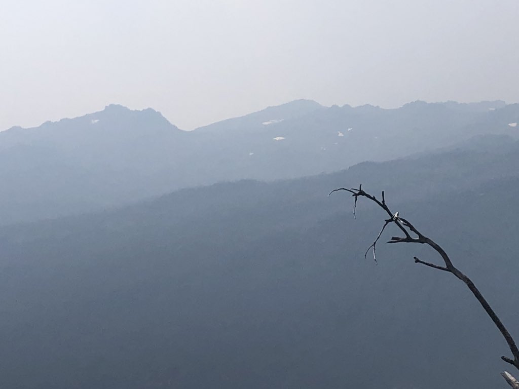
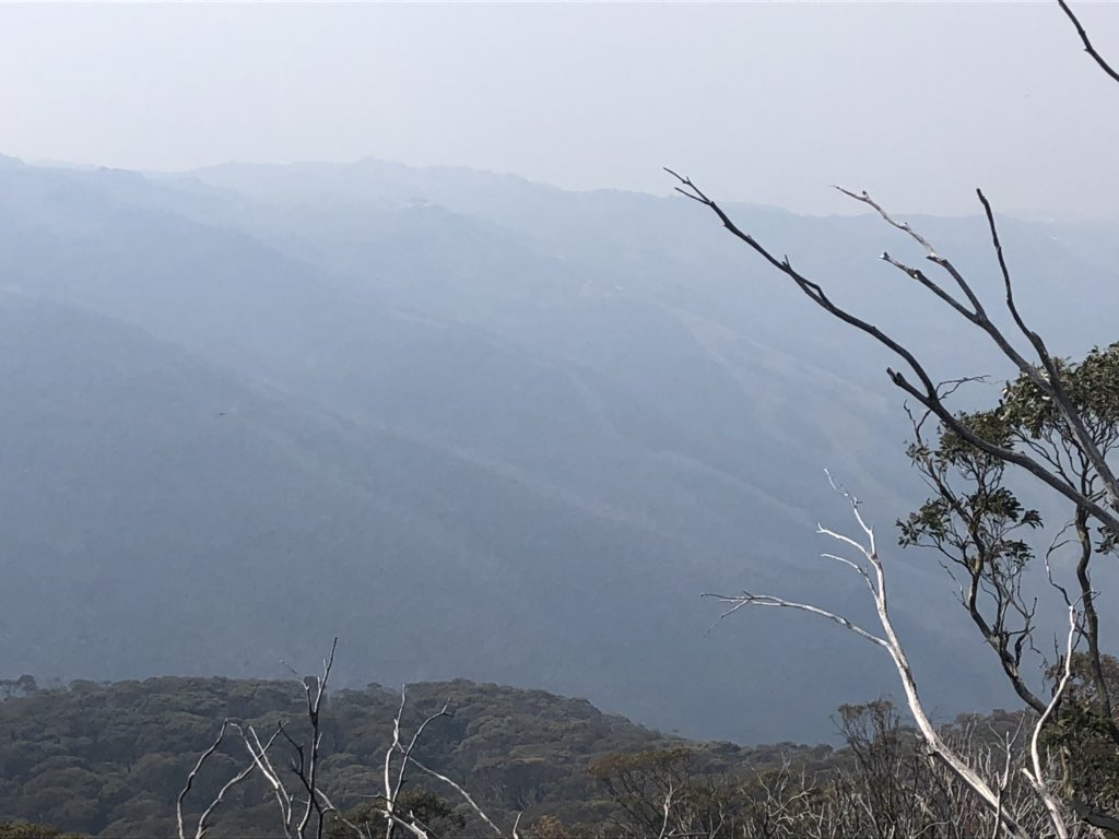
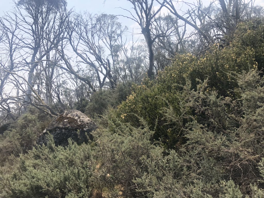
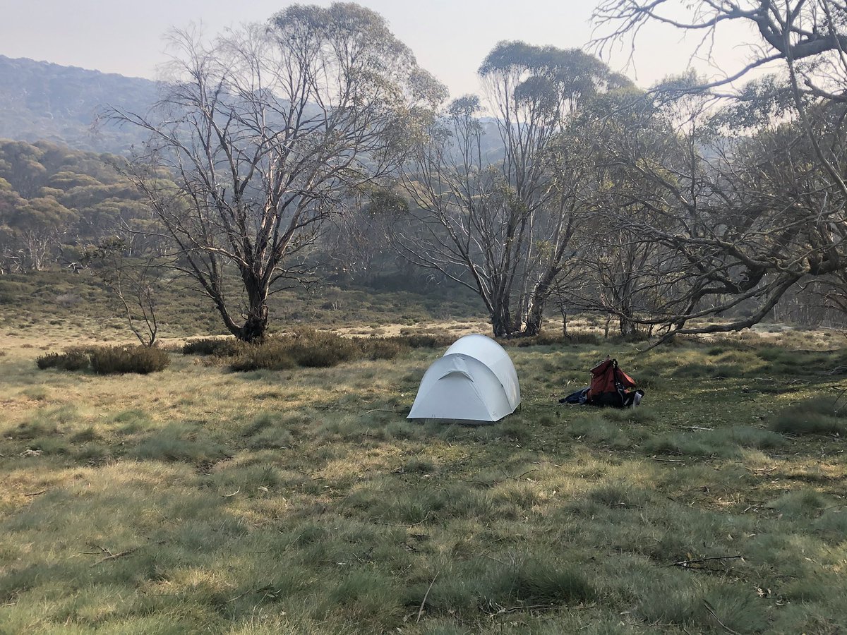
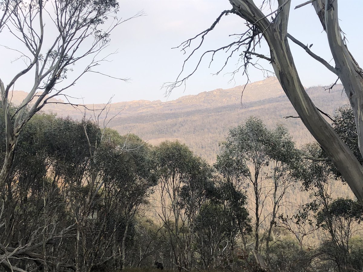
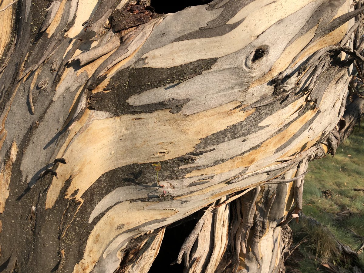
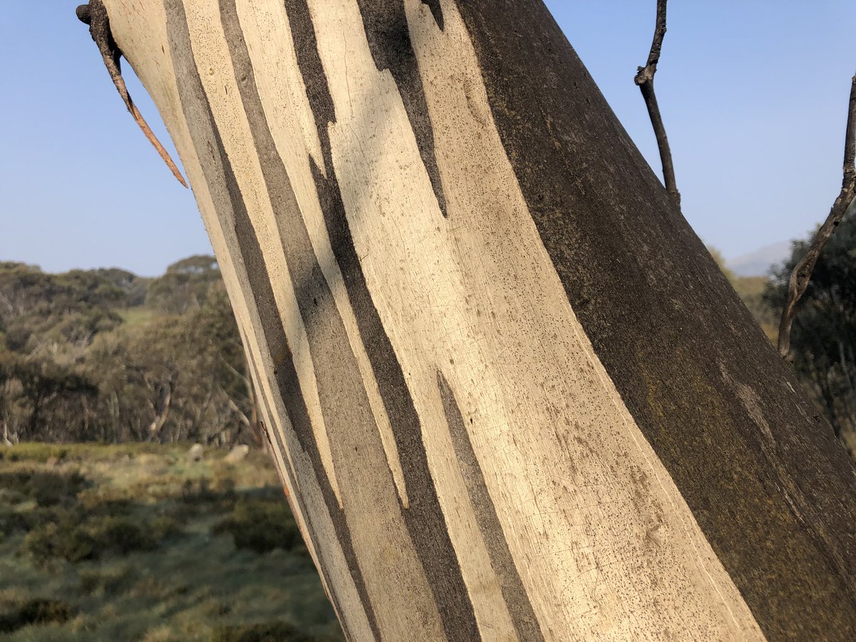
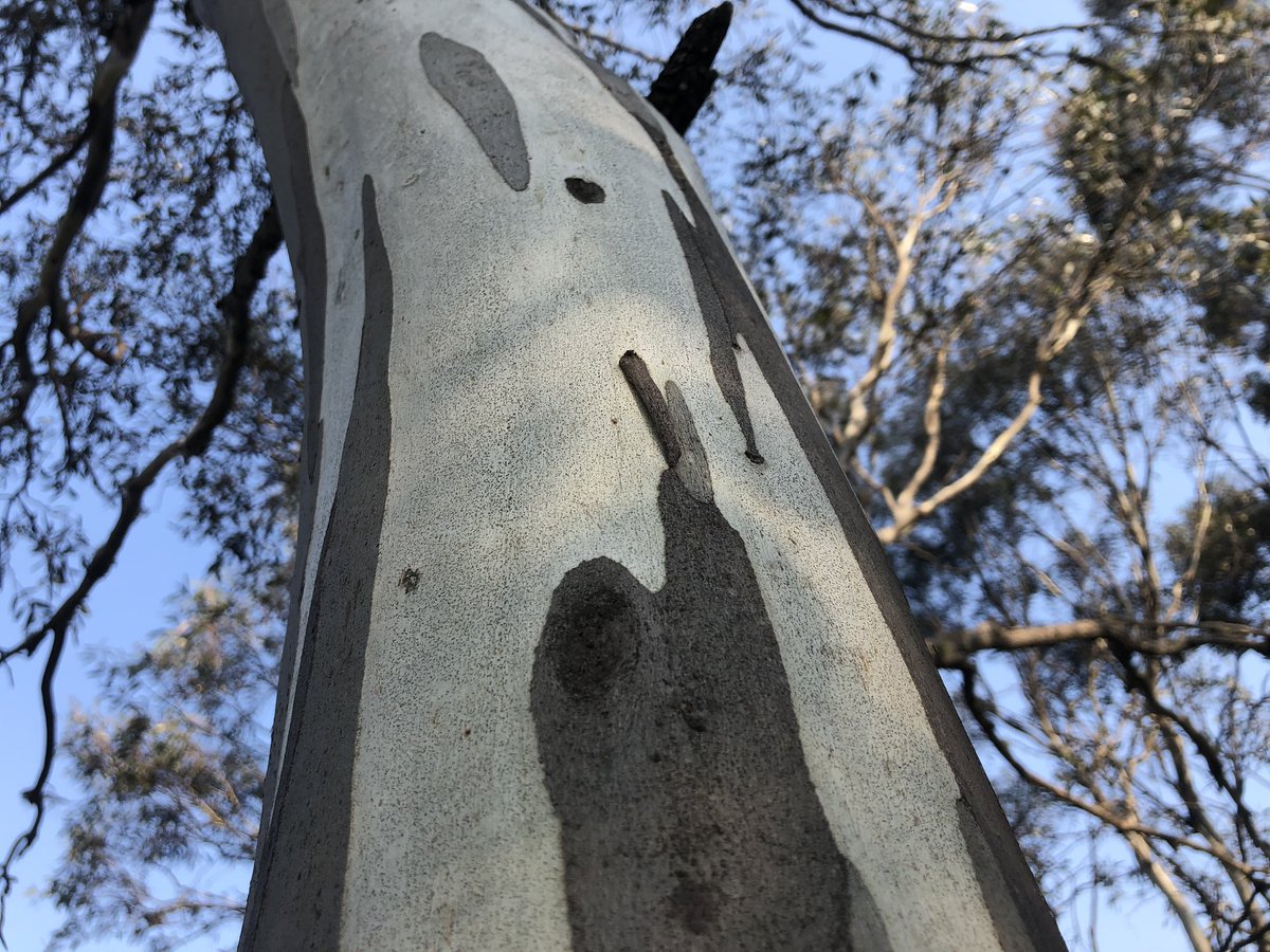
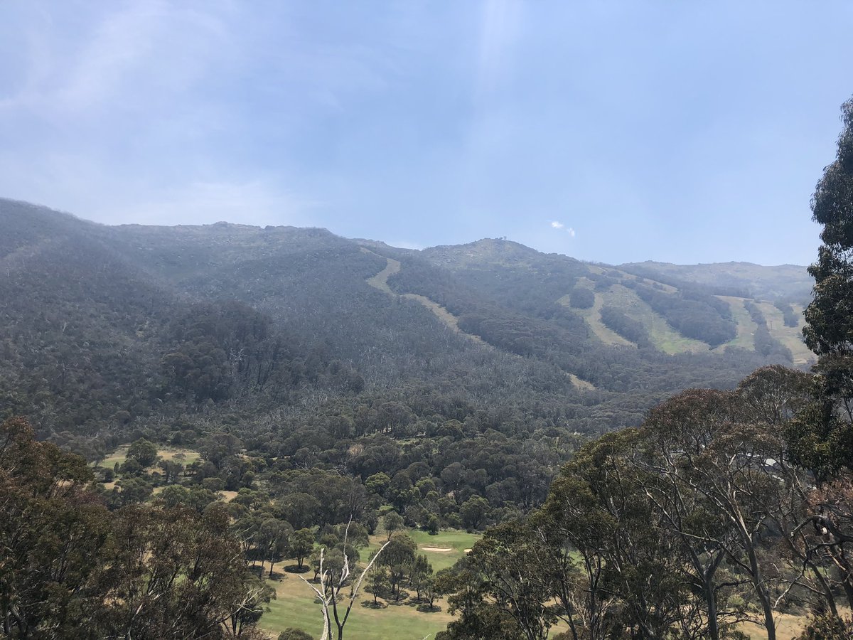
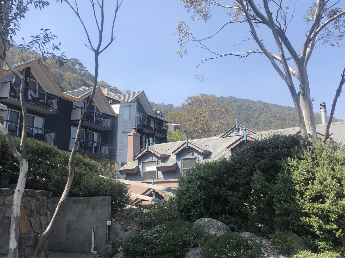
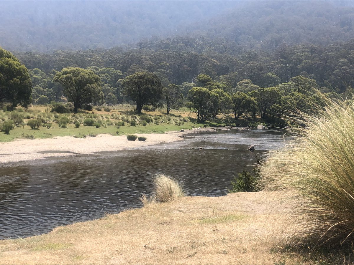
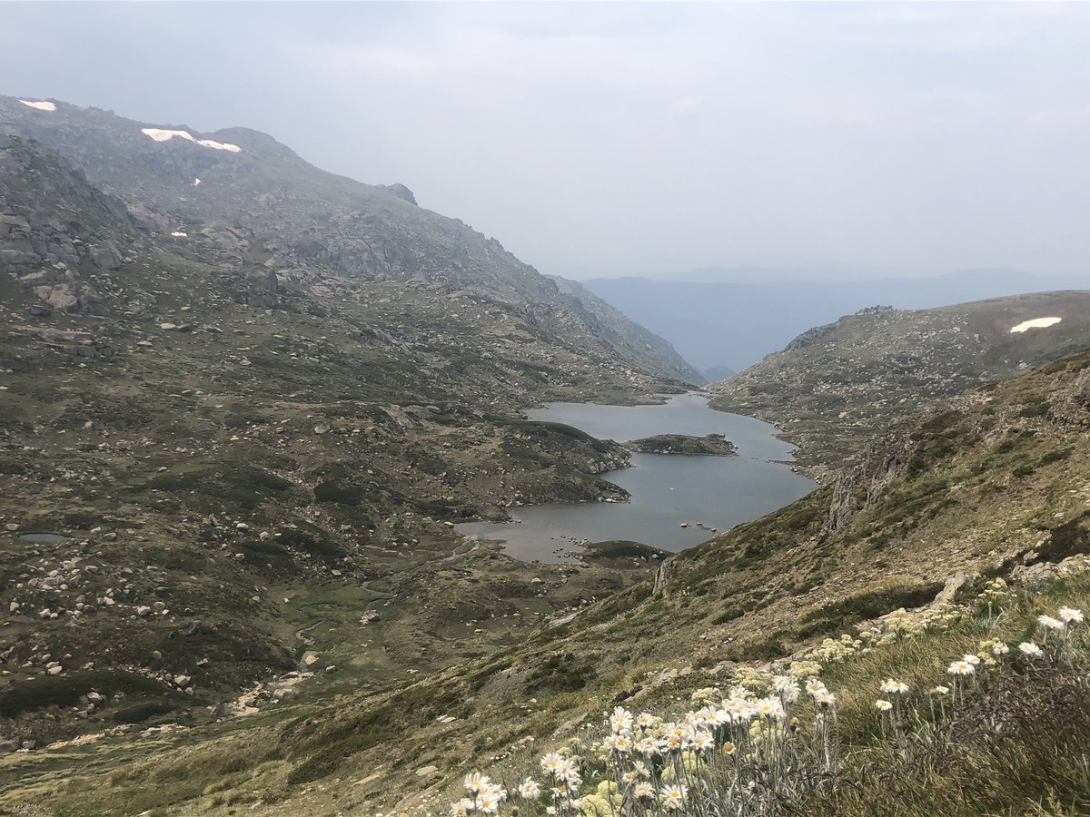
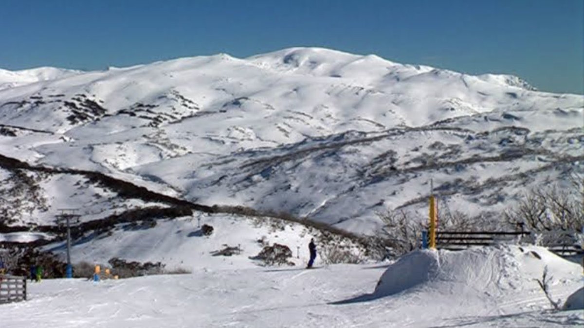
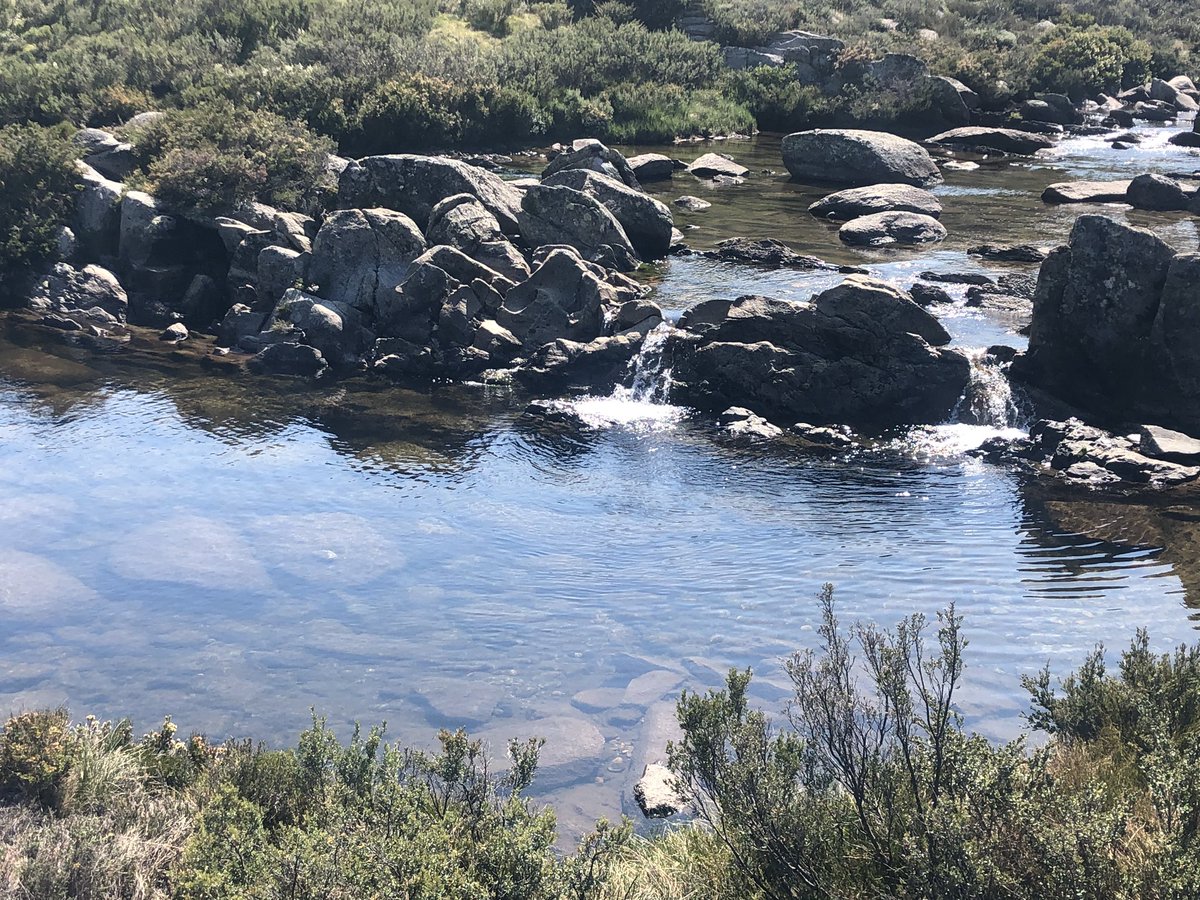
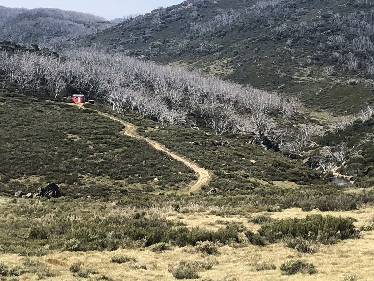
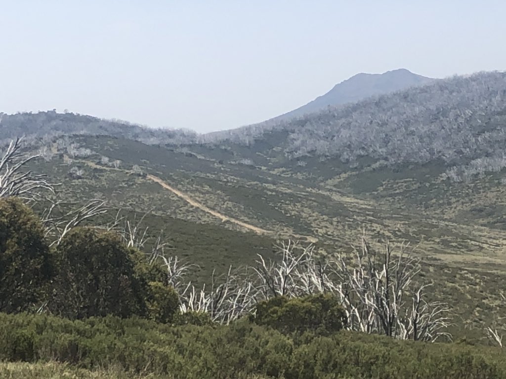
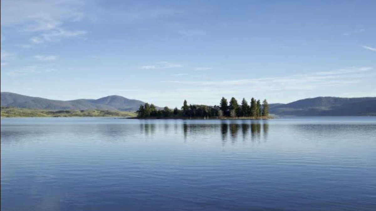
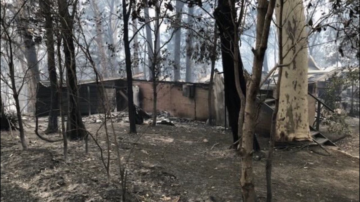
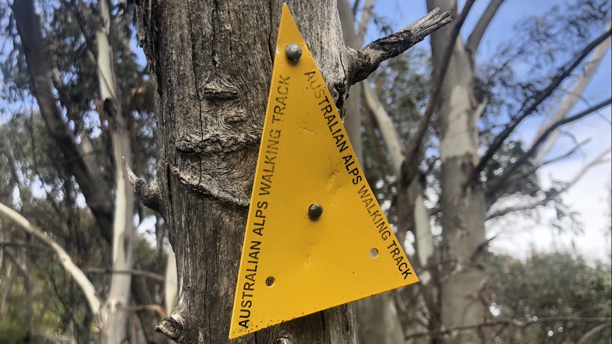
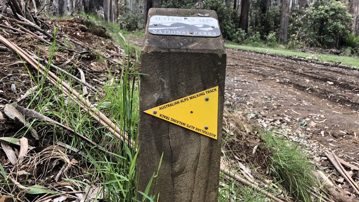
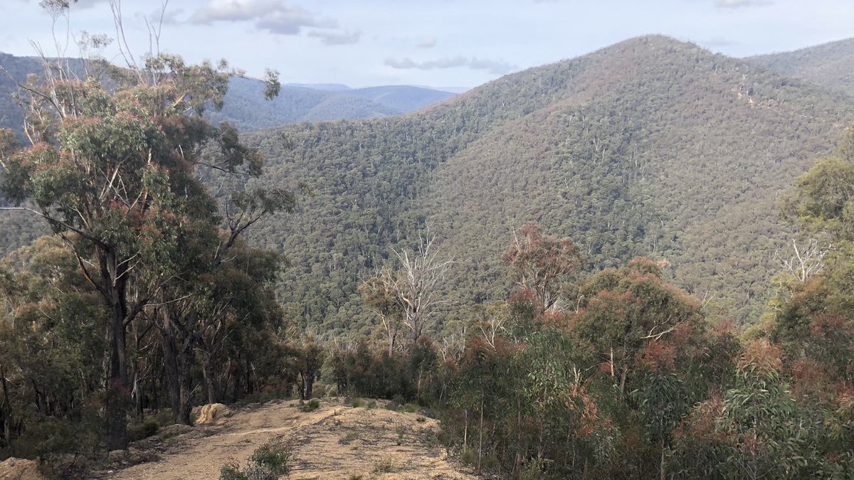
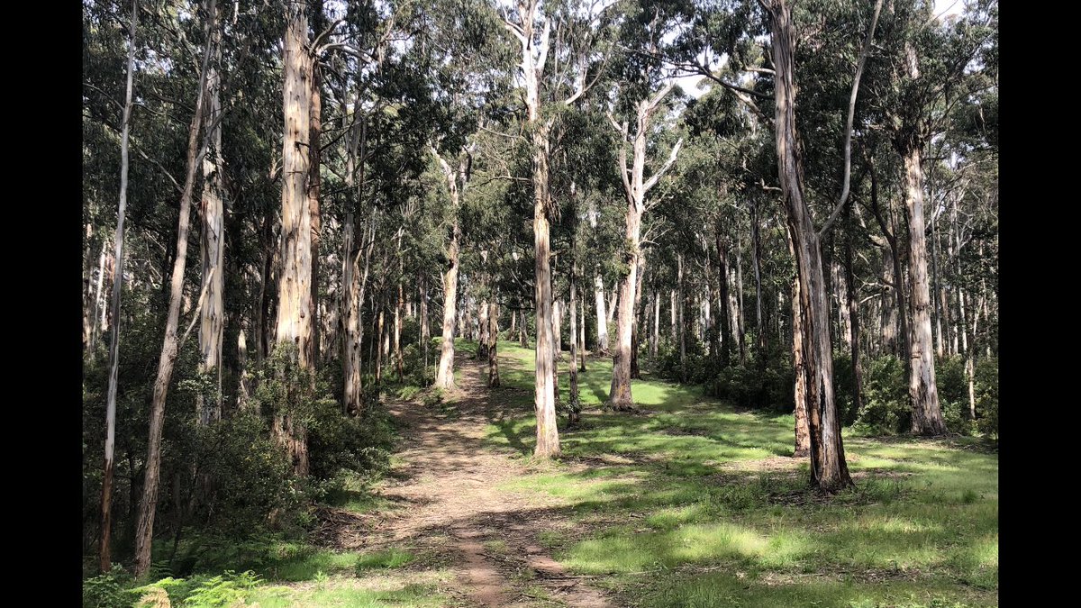
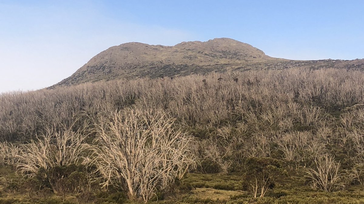
Dec 1. Driving to the start of the Australian Alps walking track, leaving stashes of food hidden in the mountains. Lovely weather for the first day of summer.
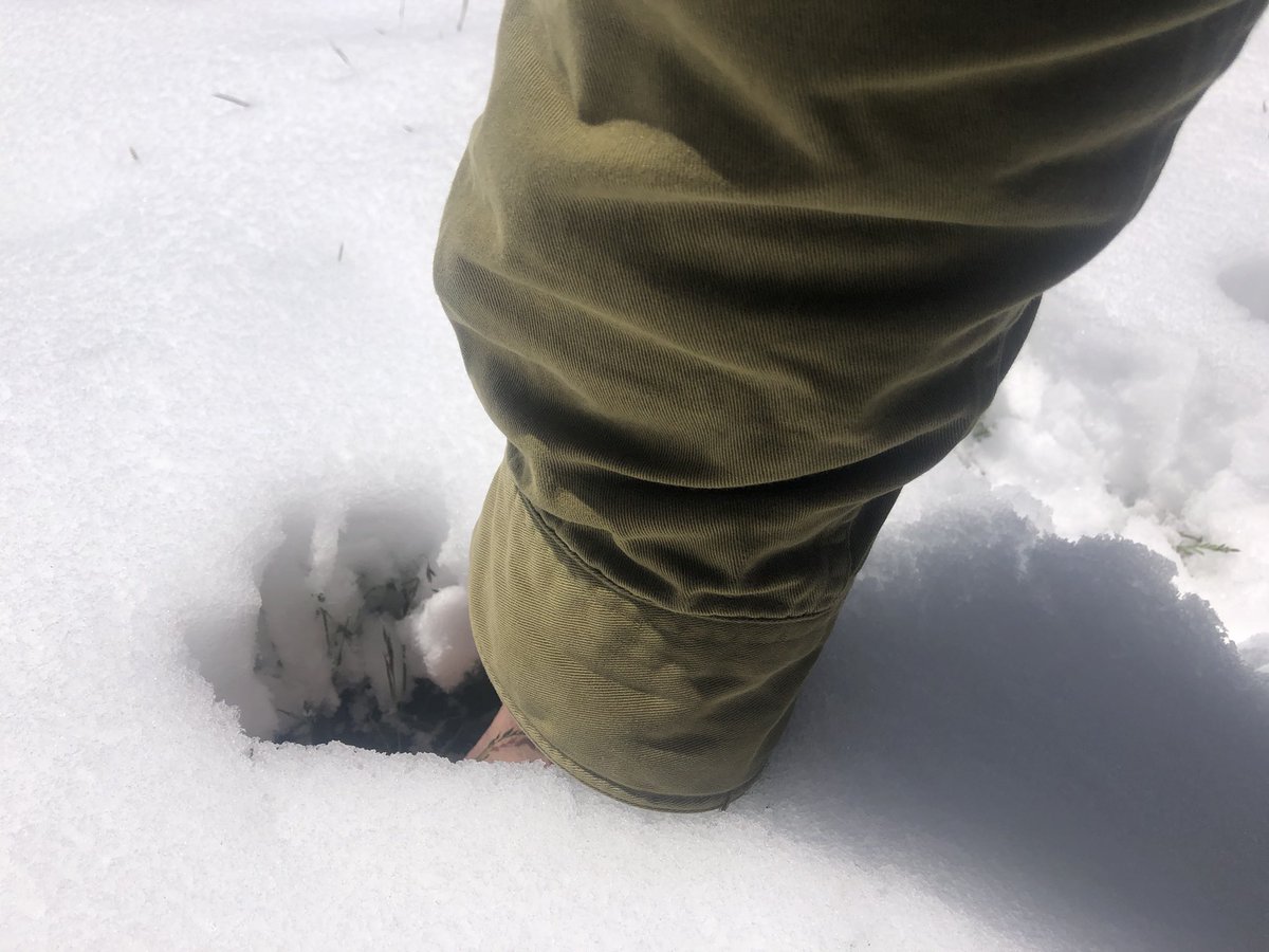
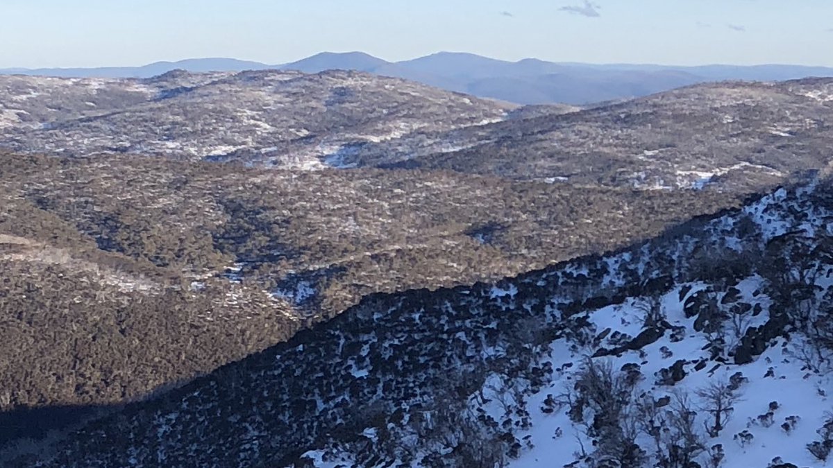
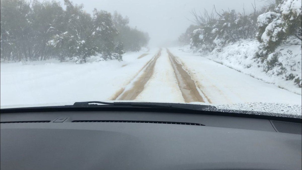
Up high now. Dinner Plain, Victoria. Unofficial arm depth-o-meter says about 15cm of summer snow. It’s December 2
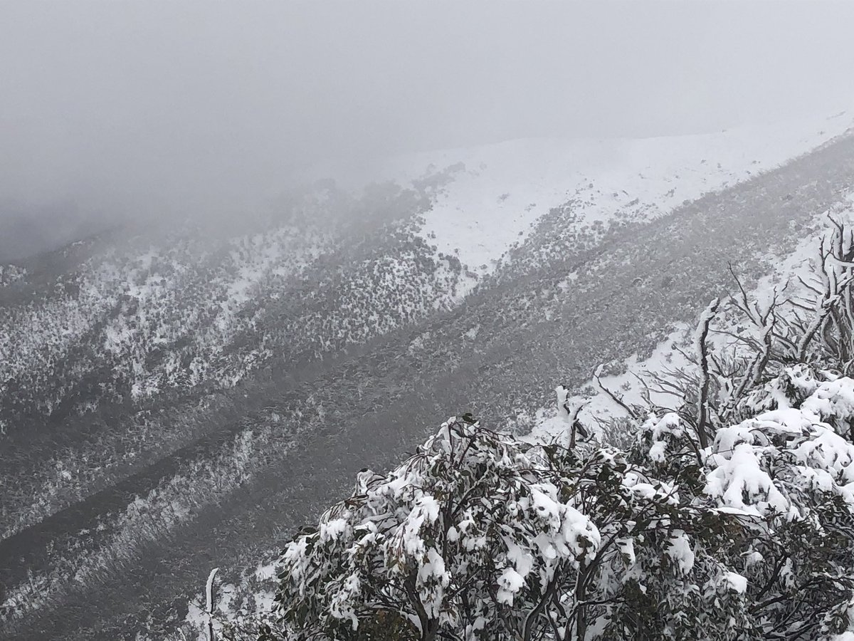
Some scenes from @_hotham today. Stashed some food. All going well, will be coming through here in two weeks
On the road again
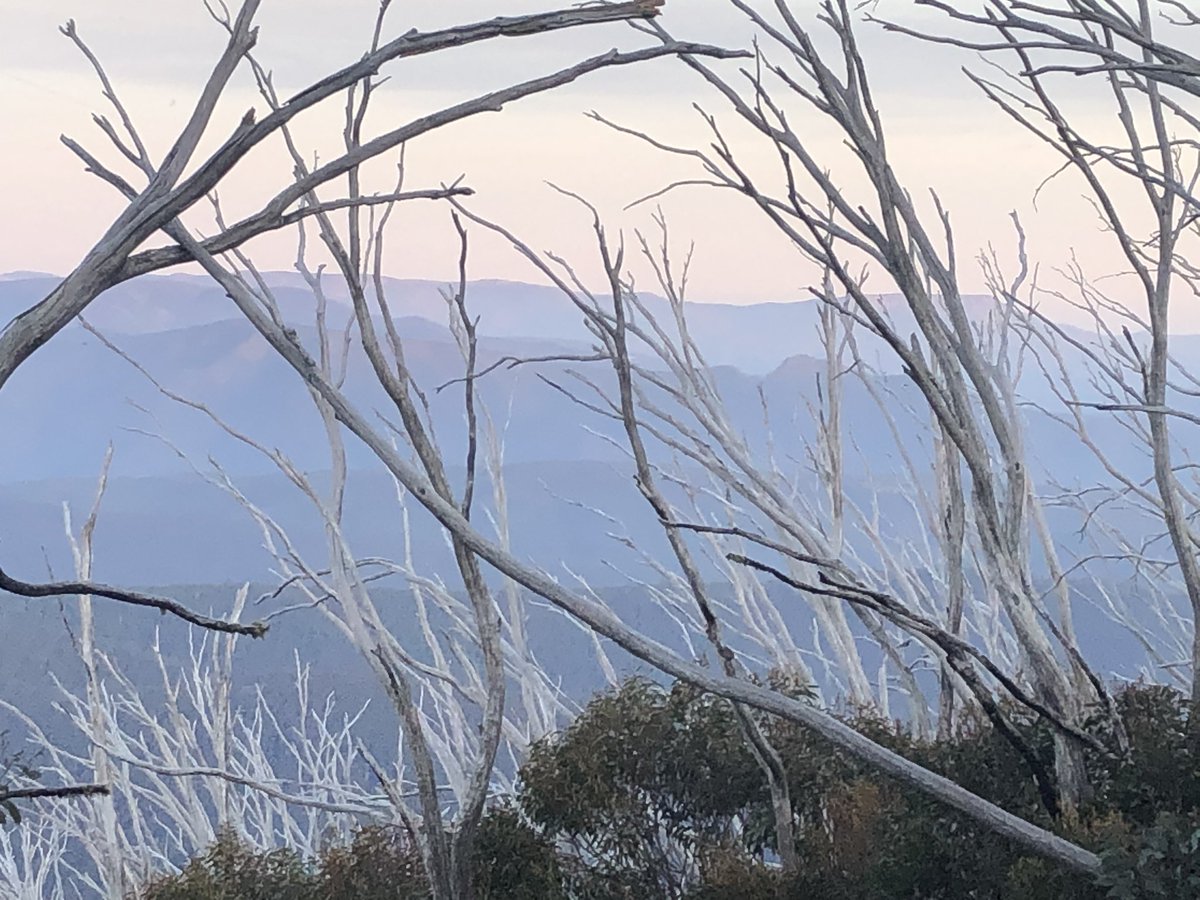
Bleak
OK what’s the worst that can happen on a track currently half covered by snow and blocked by fires in two places. 680km to go #AAWT
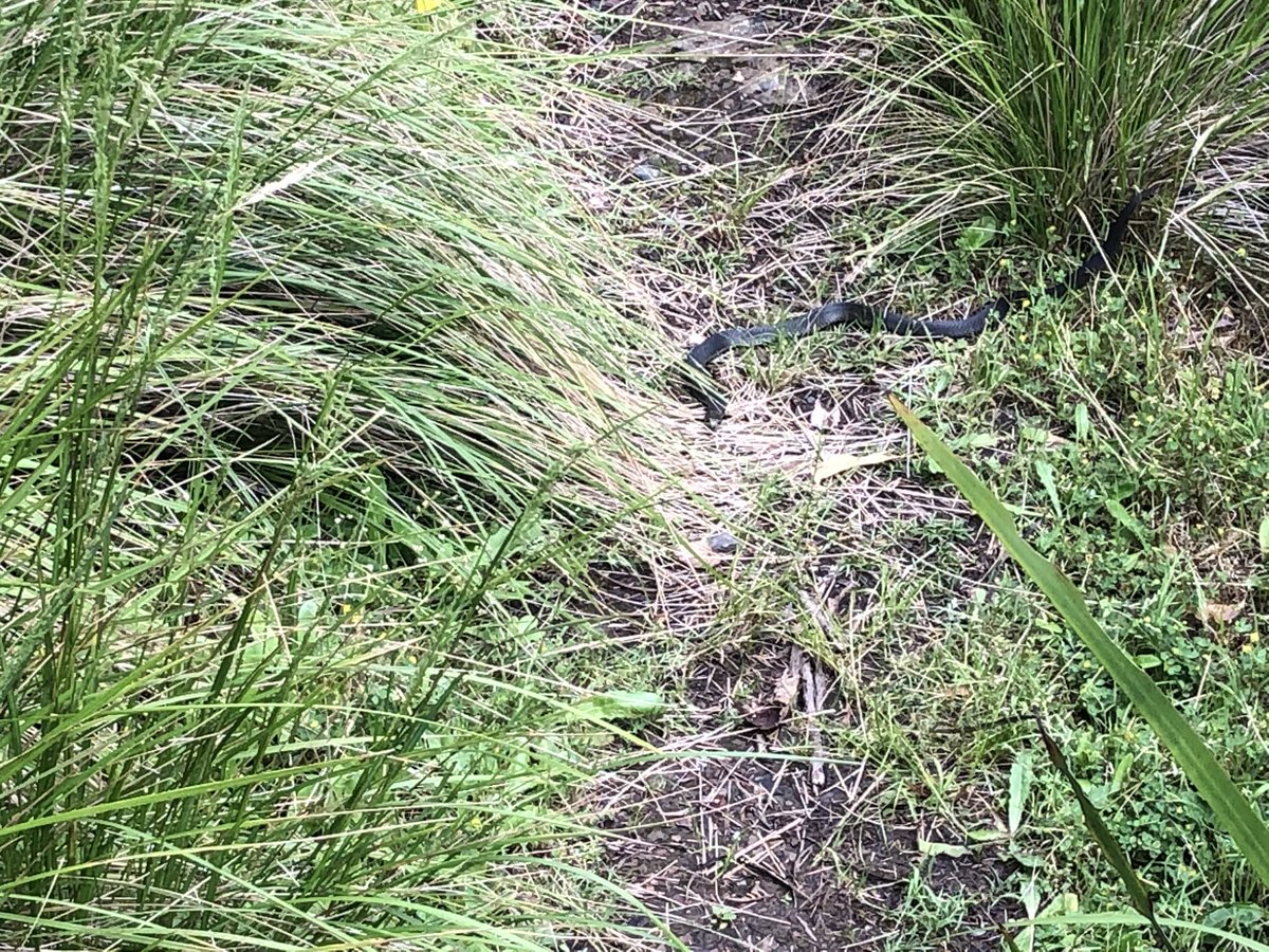
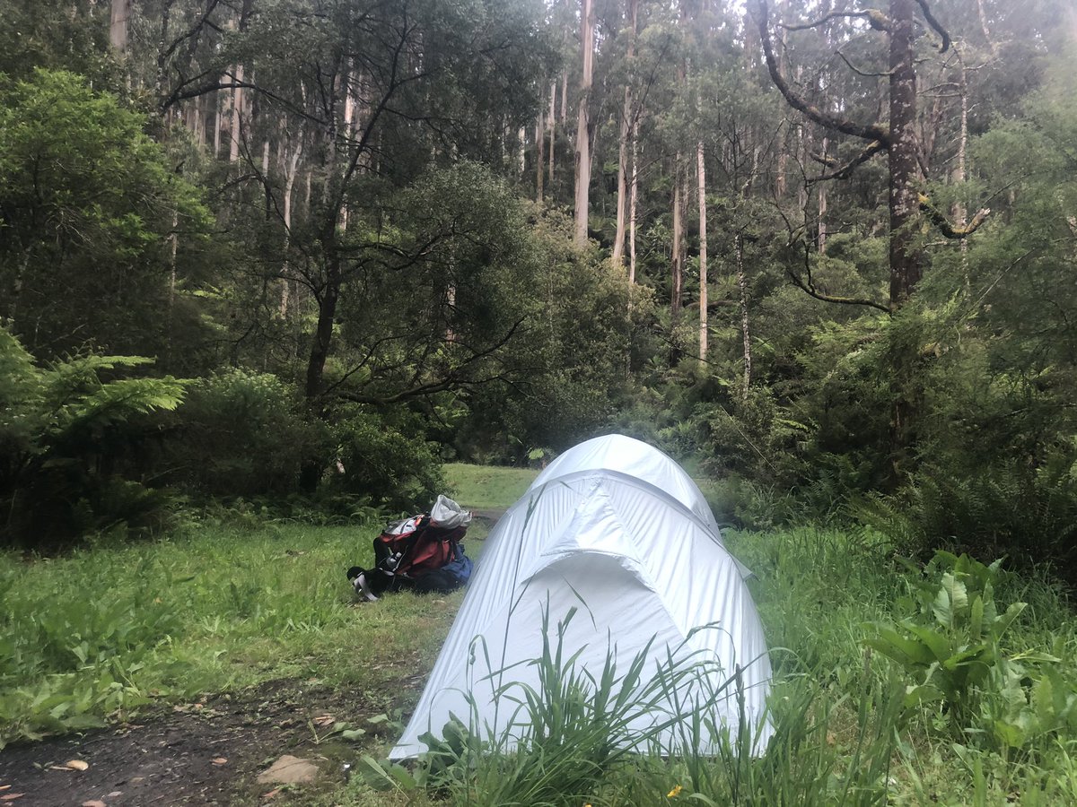
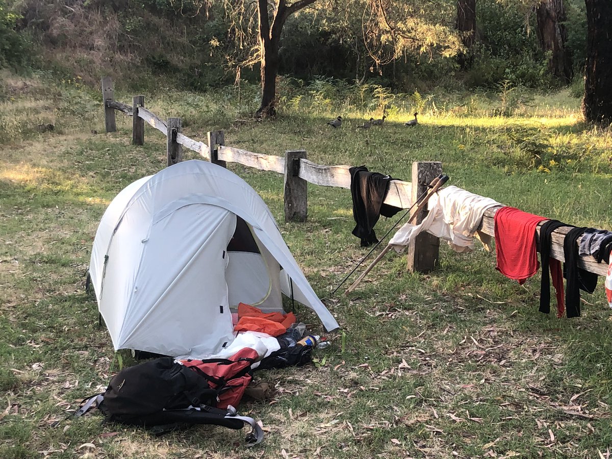
A few pics from the first 11km. 3km now from night one camp. No humans. Yeah that was the first black snake. Bastard
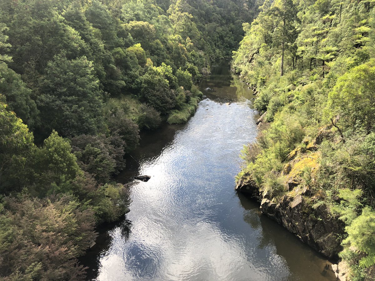
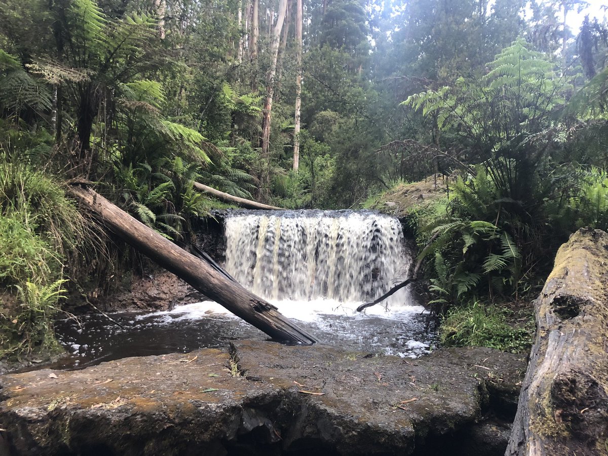
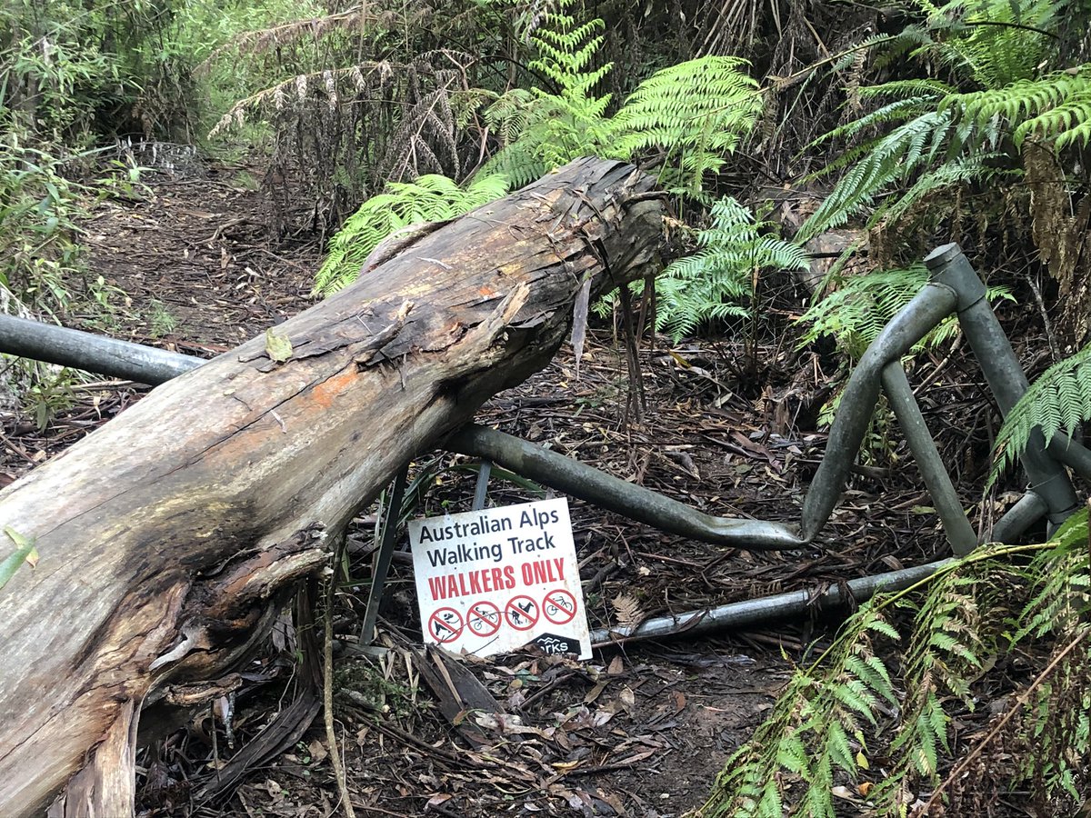
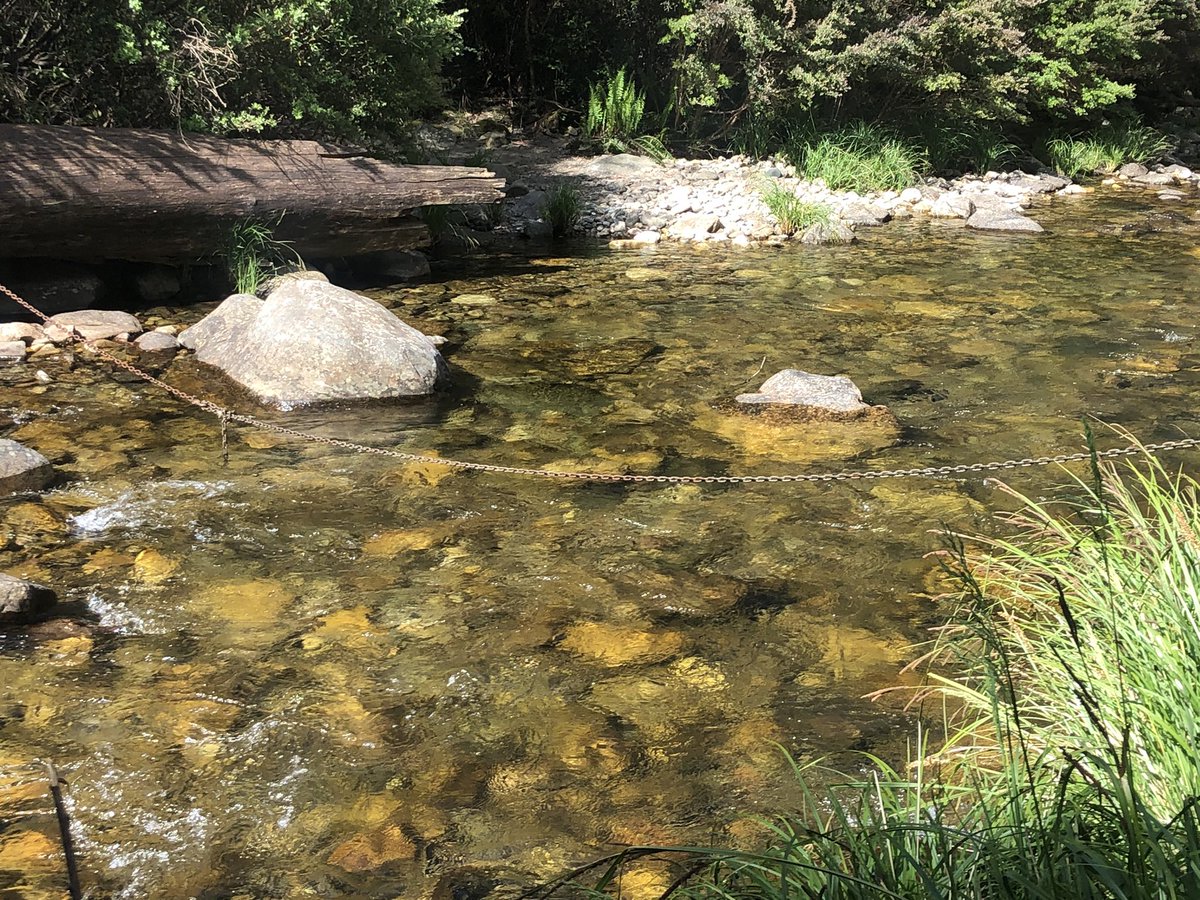
Day two. A very wet and cold river crossing. Treefall everywhere making track an obstacle course. Drizzle. Can’t solar charge phone. Native cherry trees. Gotta climb 1200m vertical metres. That’s four Centrepoint (Sydney) Towers. Give me strength
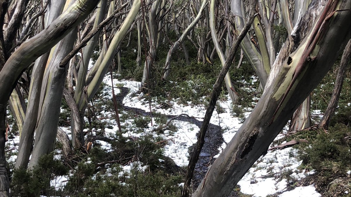
My afternoon crossing the Baw Baw plateau is squelchier than yours. #AAWT. Enjoy the sound. The unseasonable snow is not easy to walk on, but melting pretty quickly now
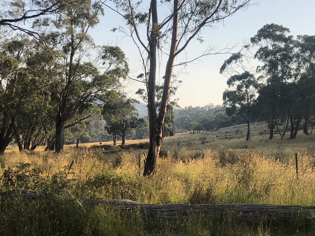
Evening all from the Victorian Alps. Still 8m to camp but beautiful walking in the twilight. Thinking of everyone in NSW in fire danger. Mercifully and magnificently cool and clear here
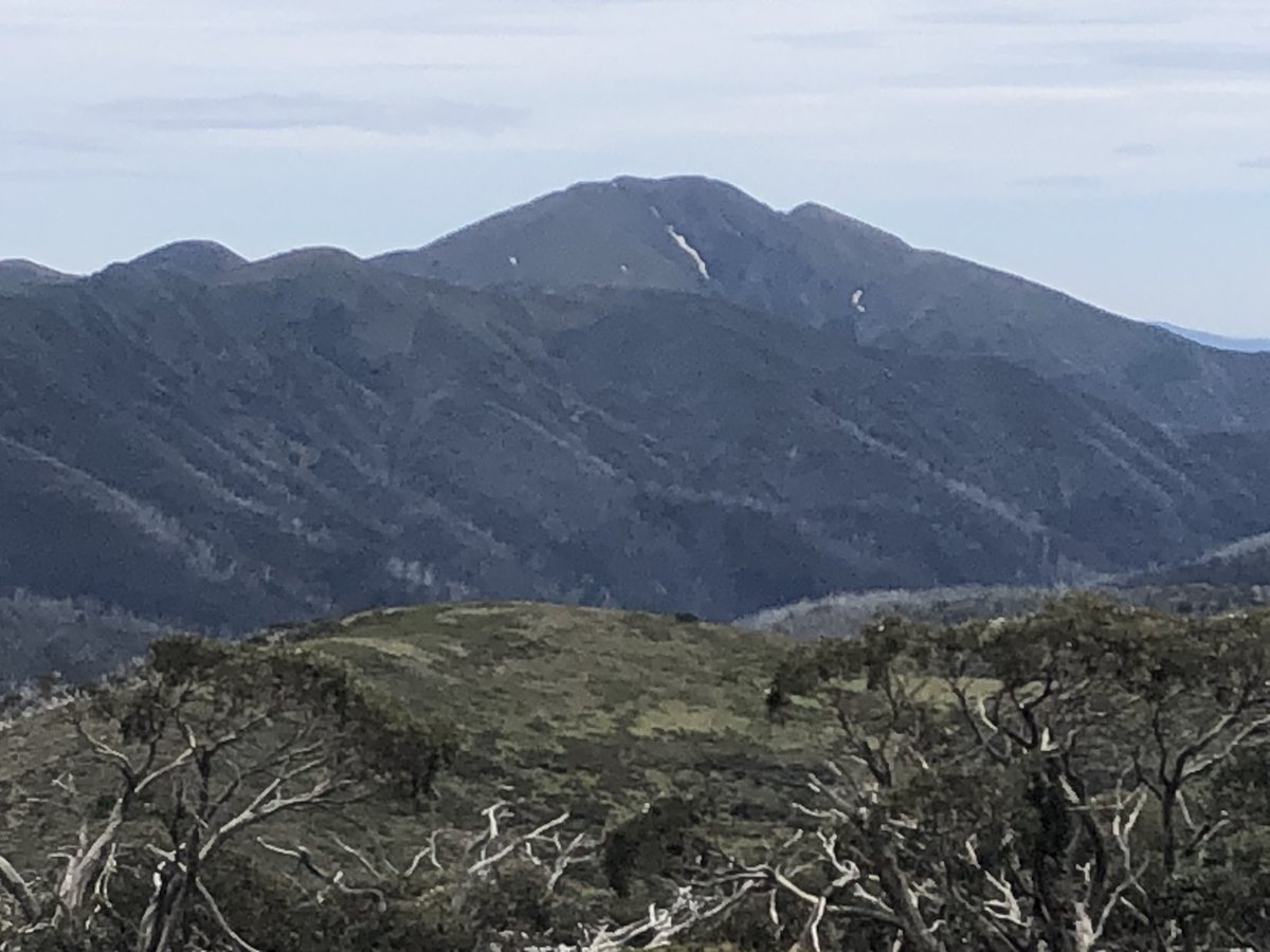
Pick up a food drop on that distant peak tomorrow. A week’s worth of serious hiker food plus two treats: twisters and Sarsaparilla drink. They’re all I can think about #AAWT
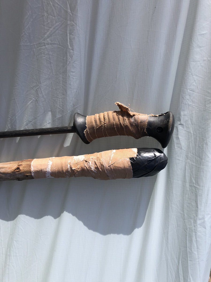
Camped last night on the summit of Mt Skene (1580m) in dreamy still conditions. Woke up to a gale of course. Hot here today. Lost a hiking pole yesterday in a scary river crossing accident where my pack snagged on an overhead branch. No matter. Stick got a new job now #AAWT
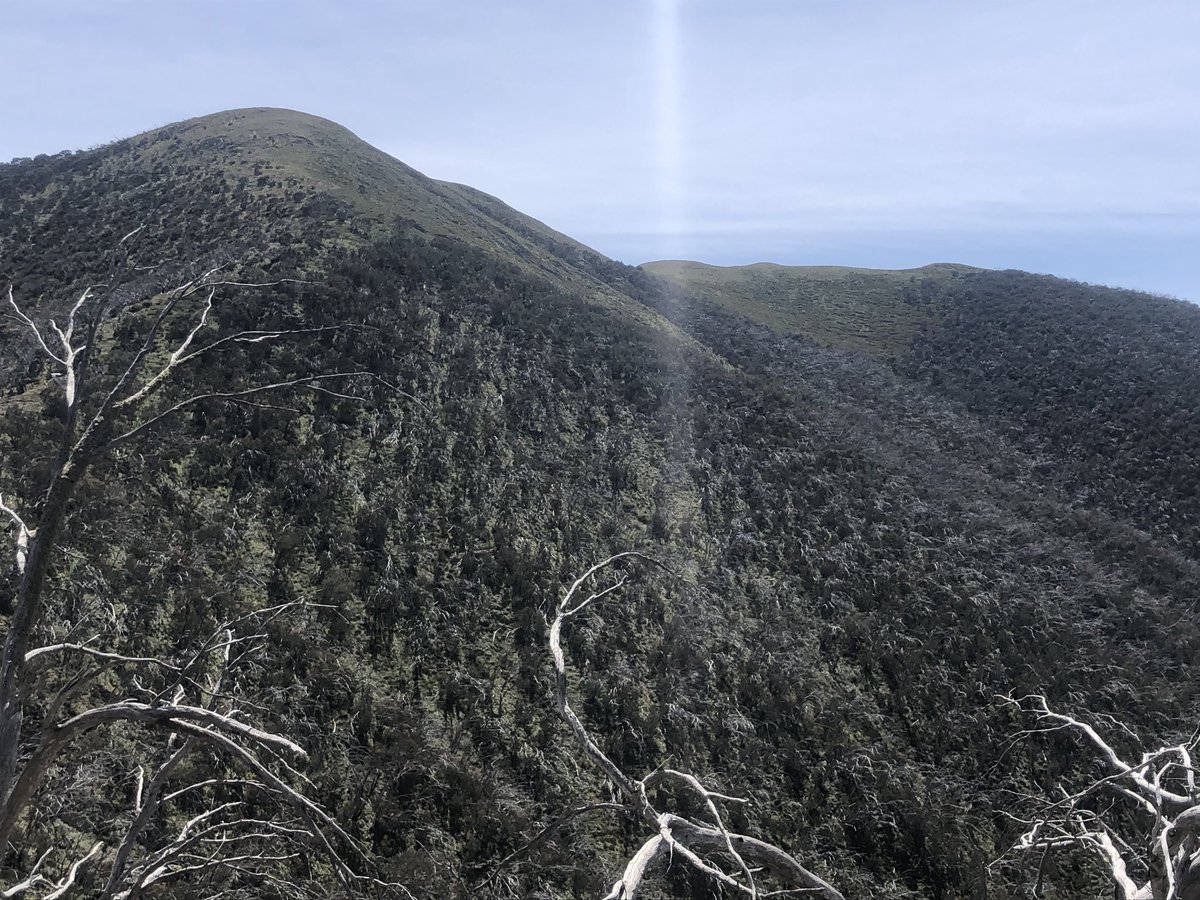
Aiming for the distant peak Mt McDonald by about lunchtime tomorrow. Will camp anywhere with a trickle of water within 15km of it tonight. Enjoy your taps and running water
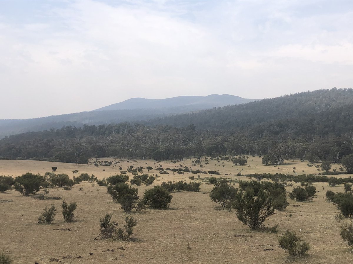
Another clear morning in the Victorian Alps. Thank god we are currently untouched by fire although the track ahead is still closed by a fire that was extinguished (by the blizzard!!!) last week. May hafta backtrack and hitch round to my next food drop at Hotham. Decisions. #AAWT
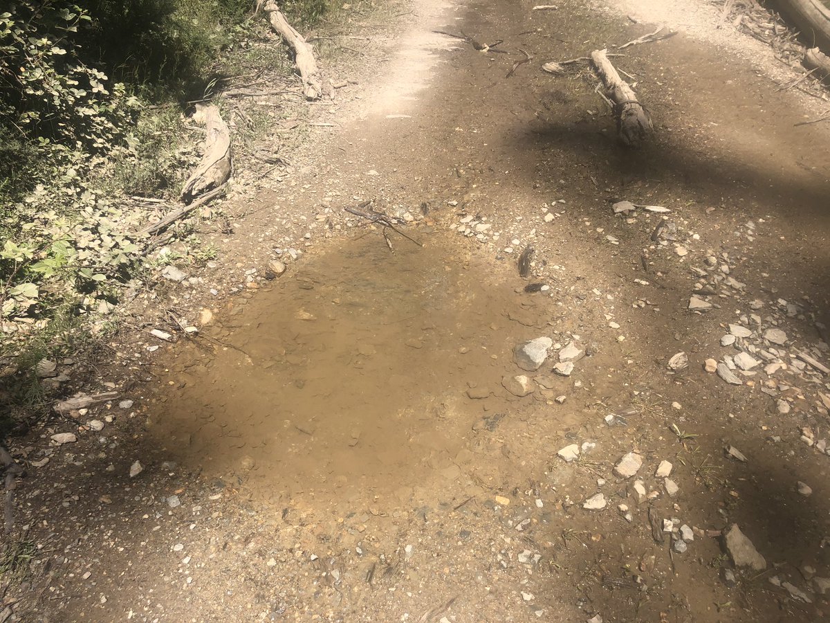
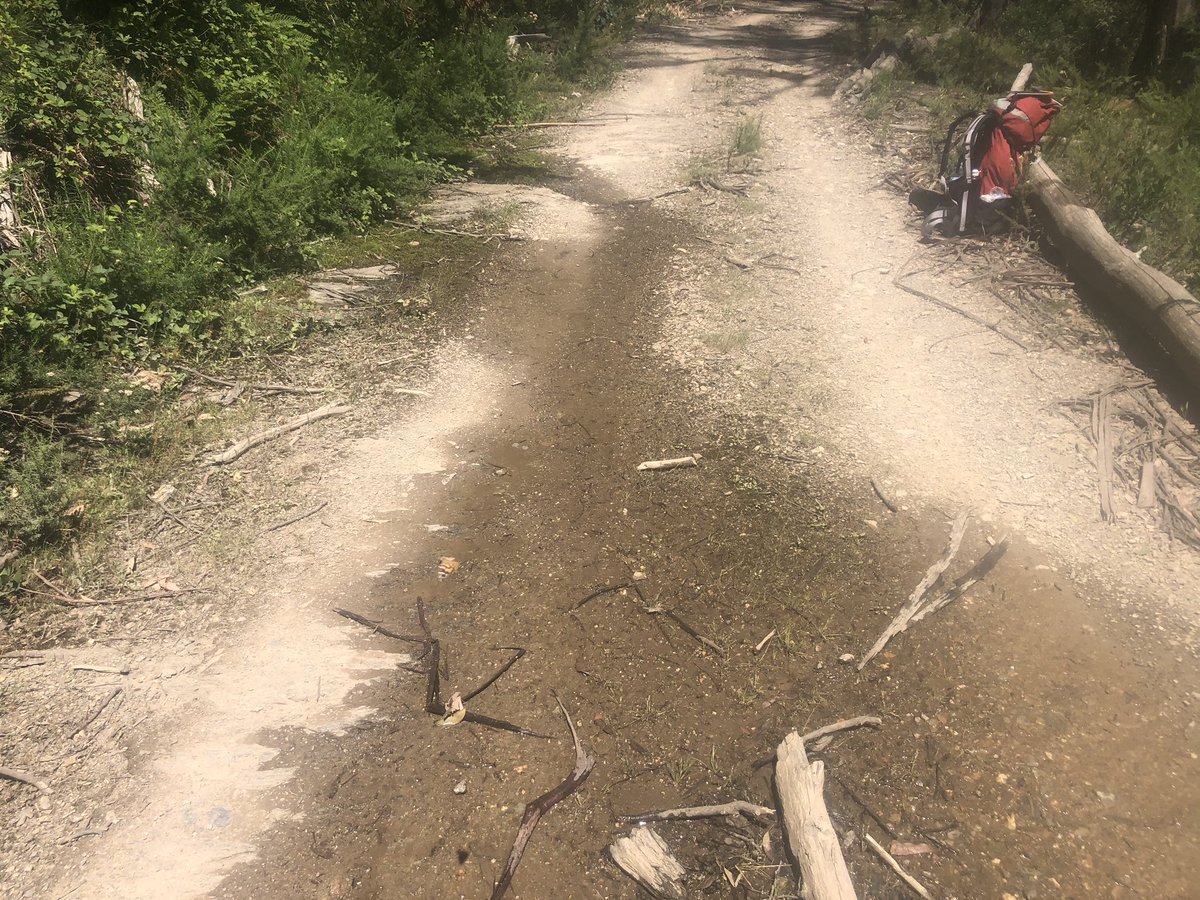
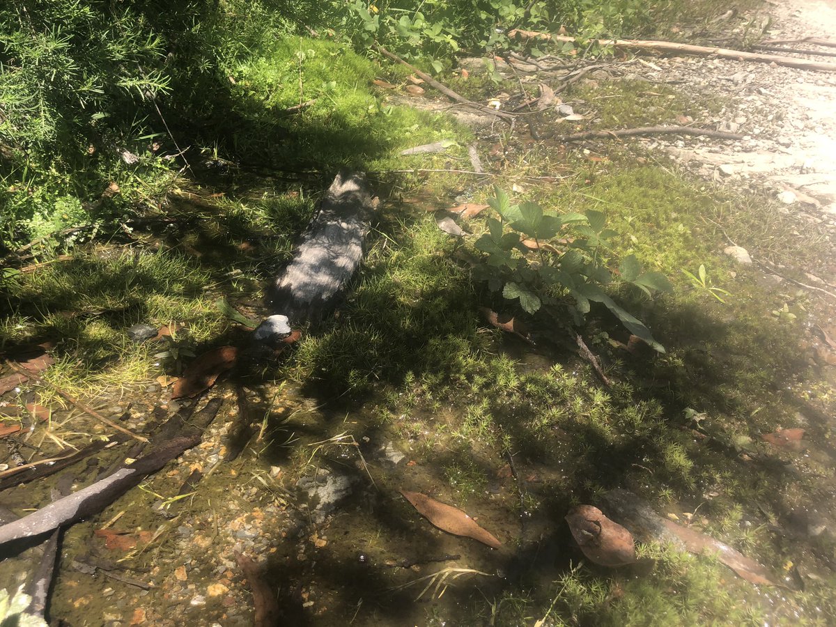
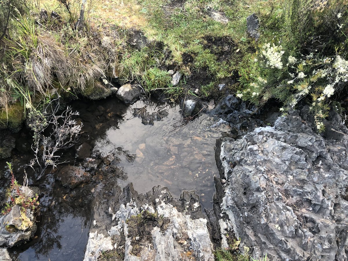
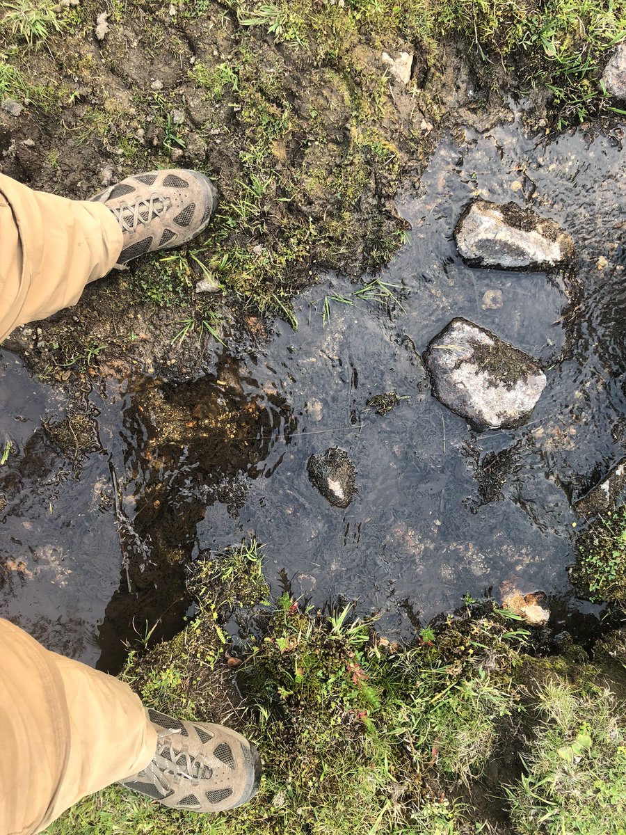
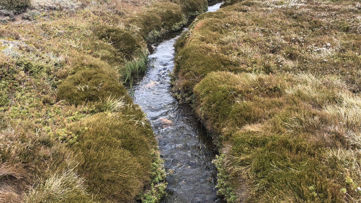
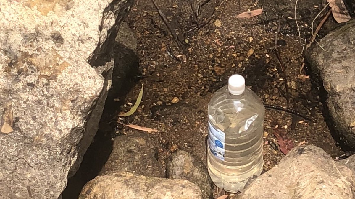
This is no ordinary puddle. Potholes on rough bush tracks are usually filled with muddy water. This one is crystal clear. That’s because it is fed by a trickle from a roadside moss soak. First water anywhere today. Fillin’ time! #AAWT
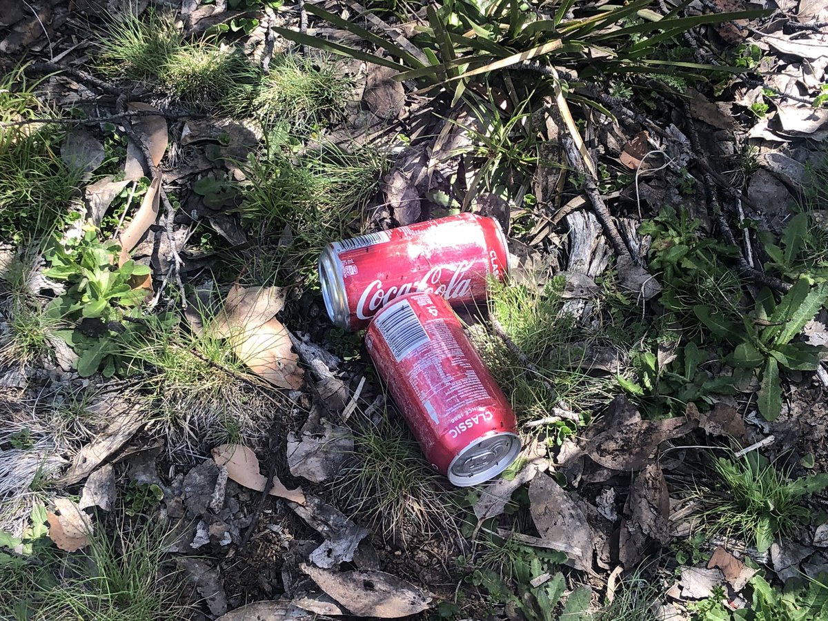
Someone lost cans of Coke in the snow on this unnamed summit and I just found them, two hours after I drank from a puddle. I AM THE KING OF THE WORLD #AAWT
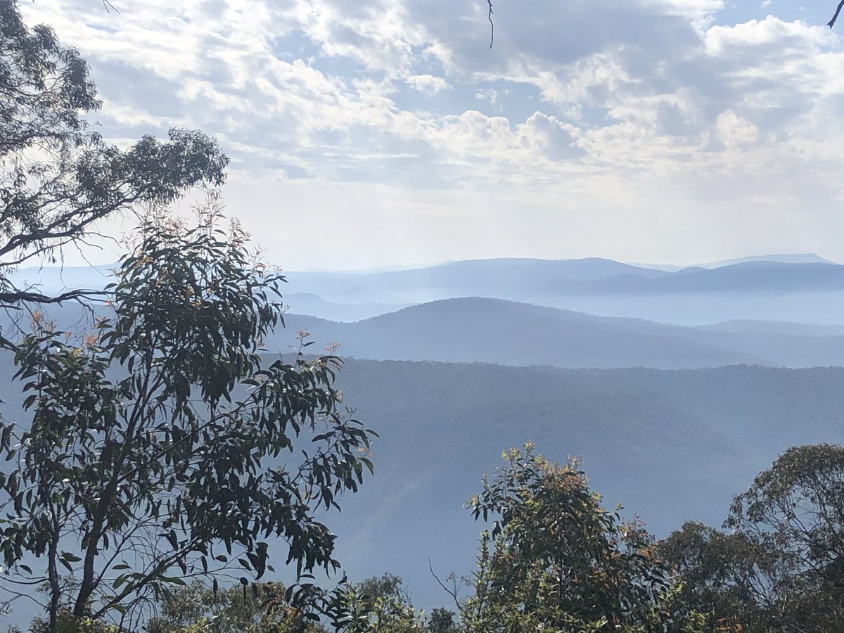
Can’t believe the scenes out of my home town Sydney today. I hope everyone is breathing OK. Ironically the same weather system that brought snow and now beautiful weather to the VIC Alps was the one that fanned the flames in NSW. I wish everyone the best. Some more VIC pics #AAWT
Any journey has its learnings. I have learned that 4WDers & hikers have much in common. Real 4WDers I mean, not weekend hoons. We all just wanna enjoy the bush. Bumped into Daryl and Adrian yesterday on a track so remote they’d never seen a hiker. They gave me Tim Tams. Legends
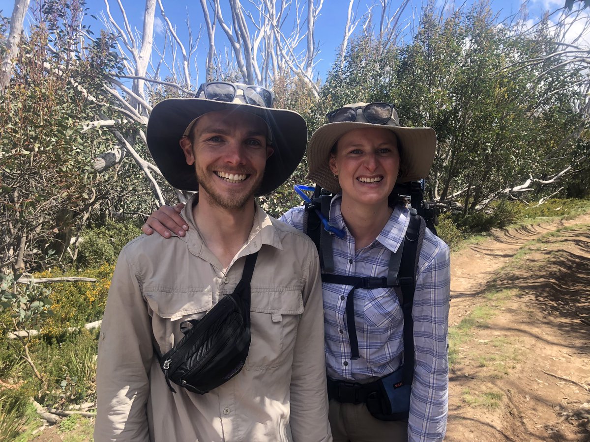
More humans! This is Tom and Lisa. Like me they’re doing the #AAWT. They’re the third lot of hikers I’ve met in 8 days (the other two were solo like me). It was cool to be able to tell them where a sneaky water source is close to the trail, thereby saving them a 3km diversion
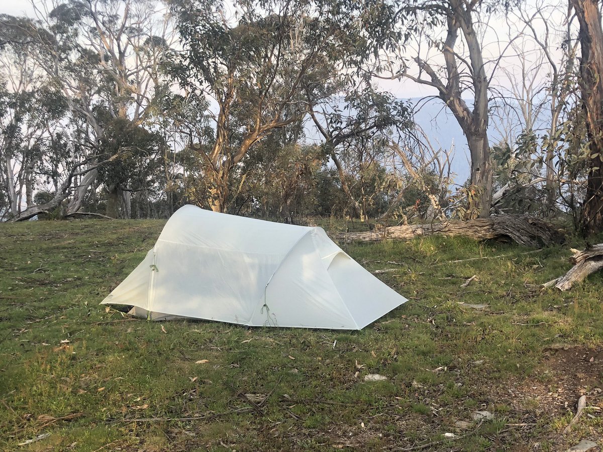
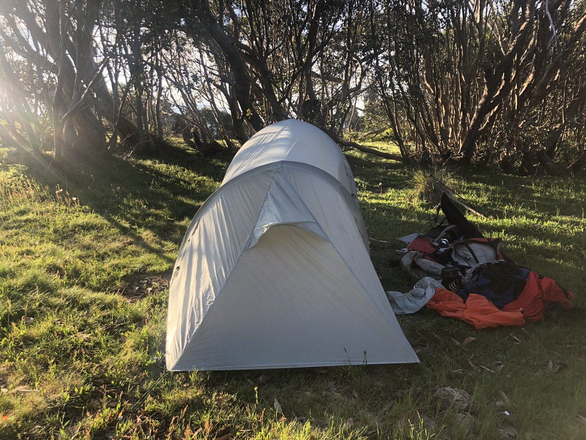
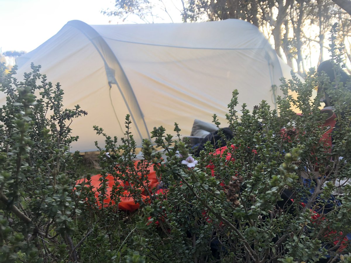
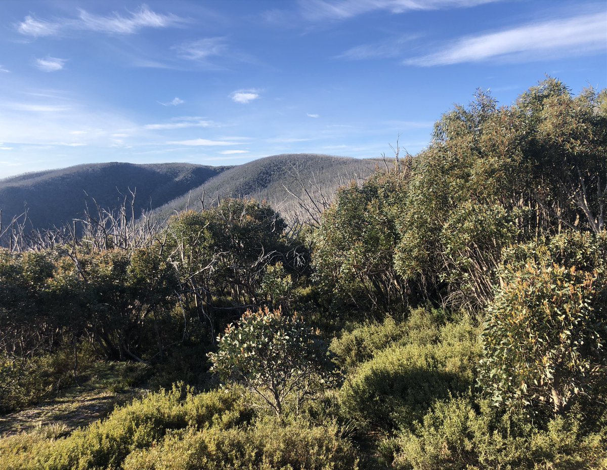
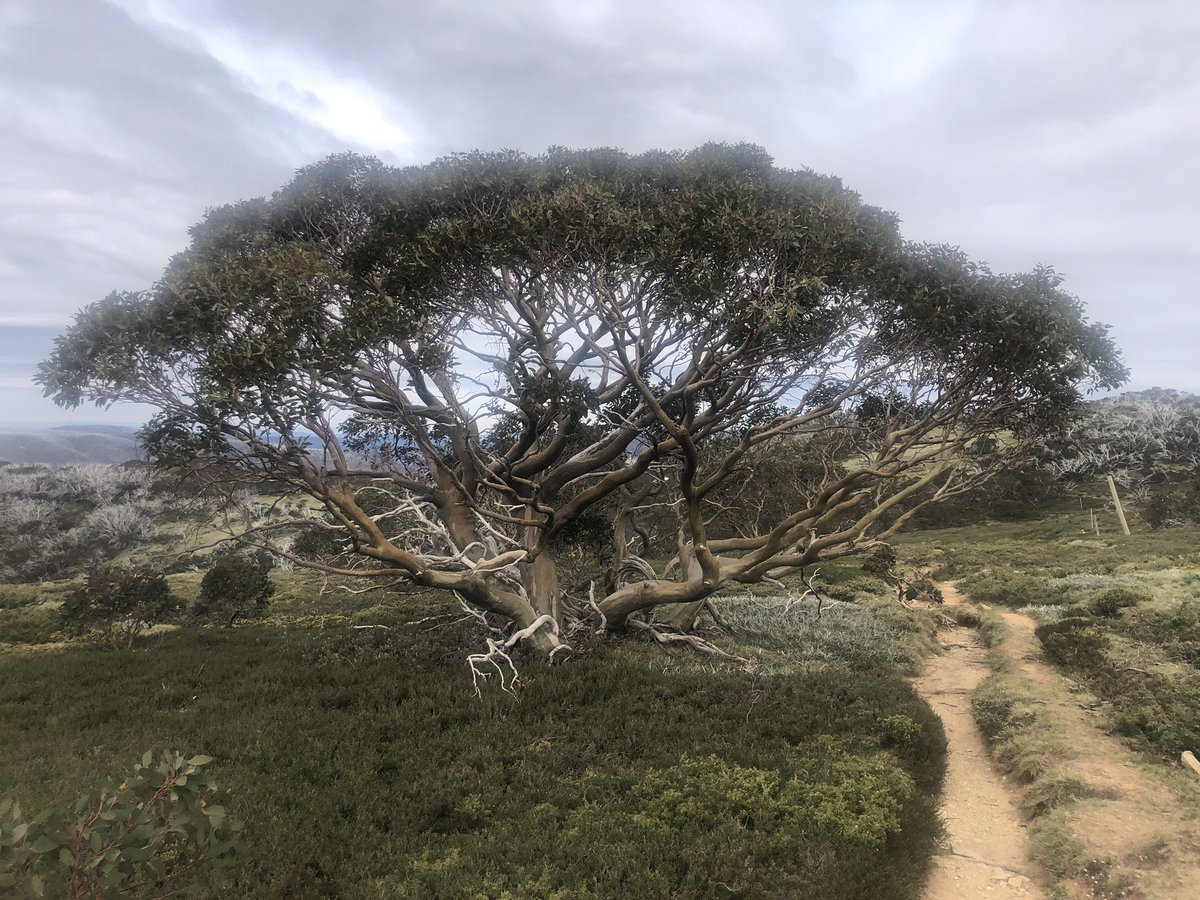
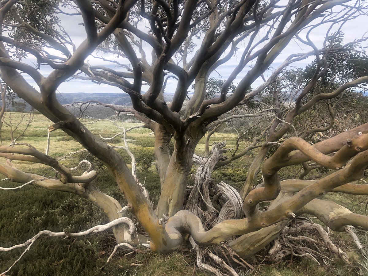
Terrific reception tonight. May be nothing next few days so worry not. Here’s tonight’s campsite and the view from behind the snowgums. Shrub is alpine mint just starting to flower. Like going to sleep in the Mentos factory! #AAWT
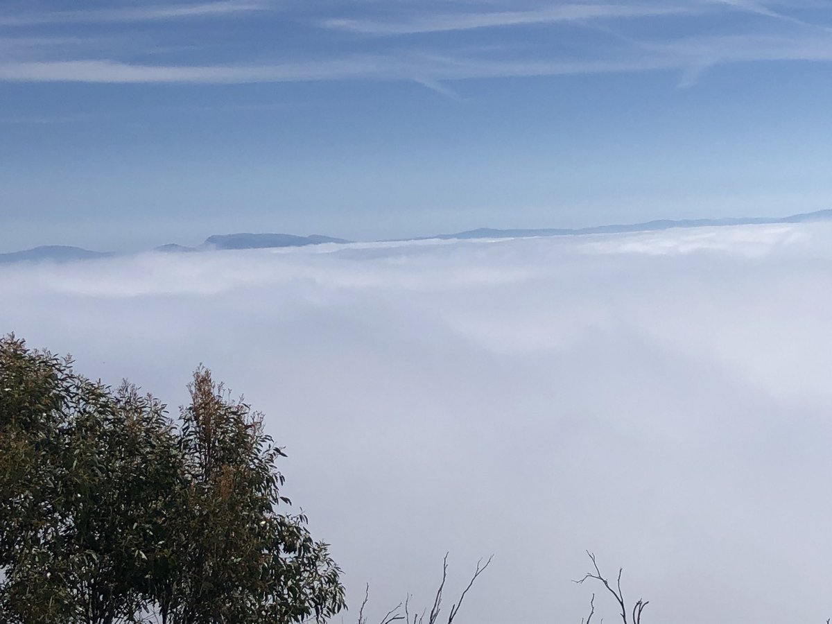
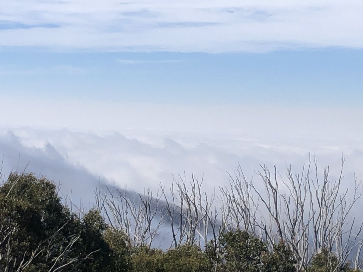
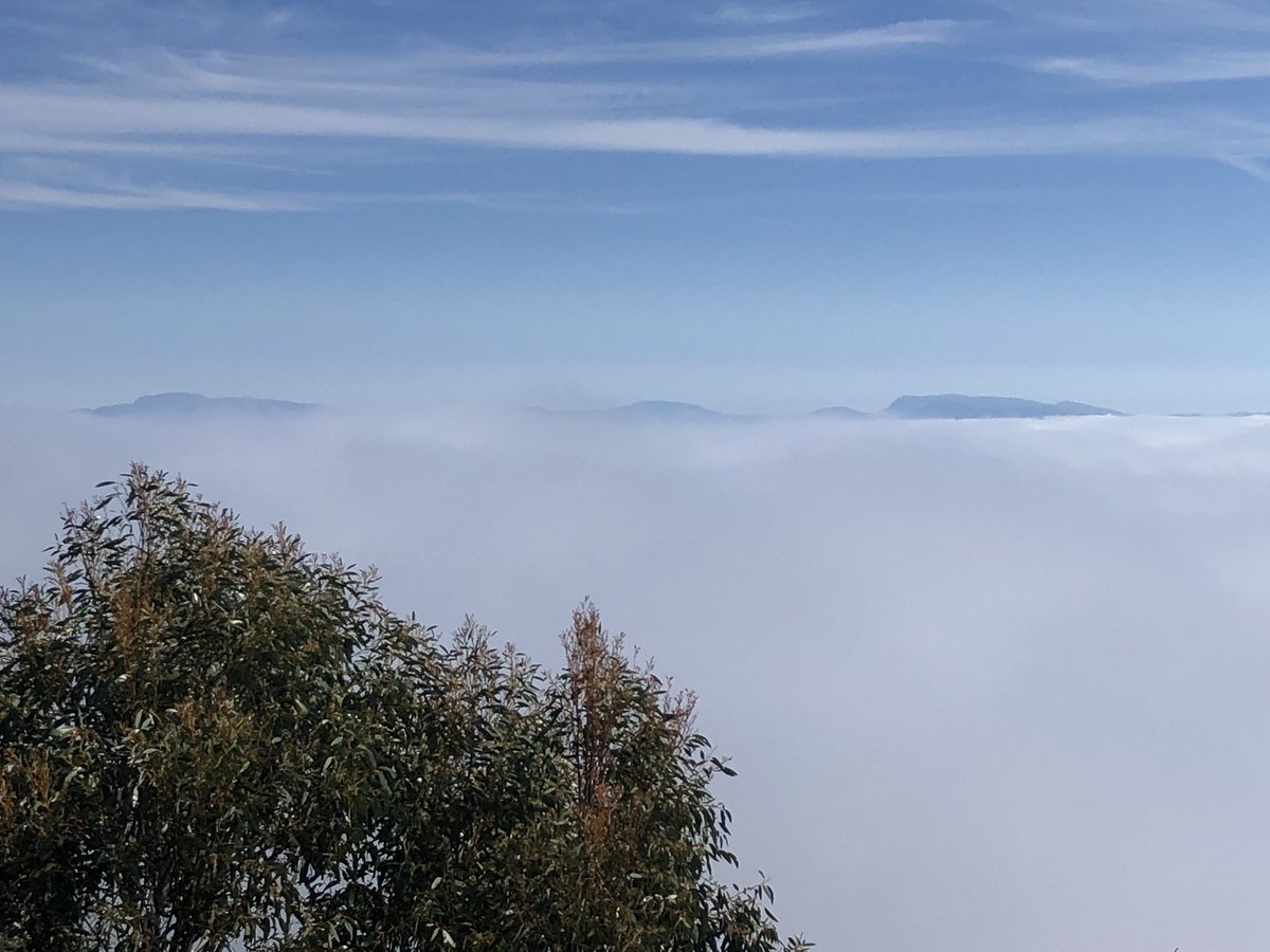
Mist rolled in overnight. Then it got cold. Then I woke up. Then this #AAWT. Amazing. Summits on the horizon are Mt Buller, Stirling and The Bluff I believe
Had to backtrack a coupla days due to fire closure area. TBH was exhausted anyway after extreme physical exertion and navigational challenges around day 7. Hitched outa mts, hitched back up. Now near Mt Hotham. Onwards!
Peaks are Mt Feathertop and The Twins #AAWT
Peaks are Mt Feathertop and The Twins #AAWT
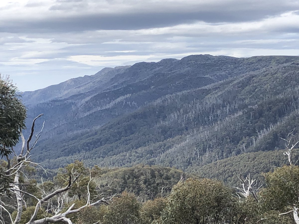
Spectacular. Humbling.
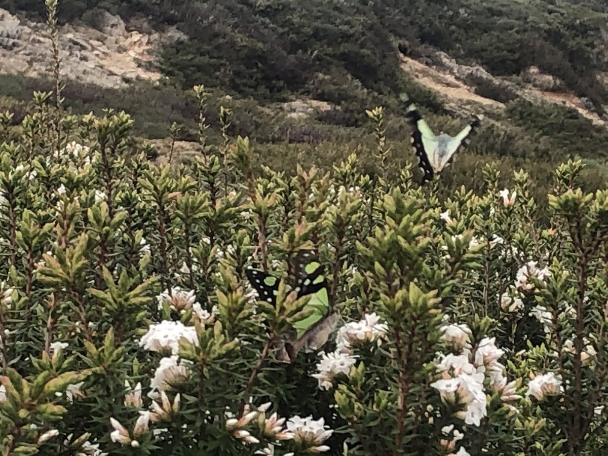
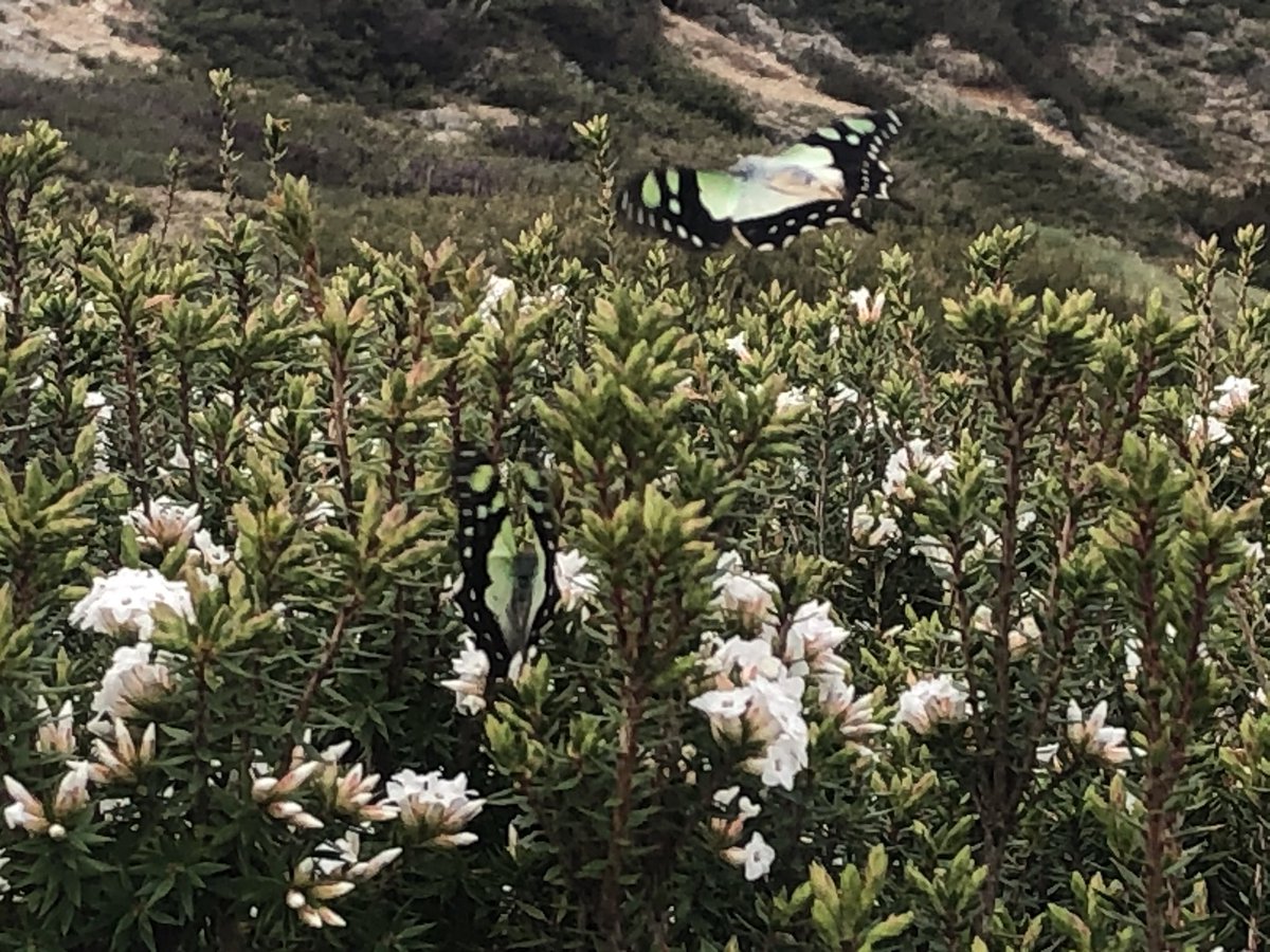
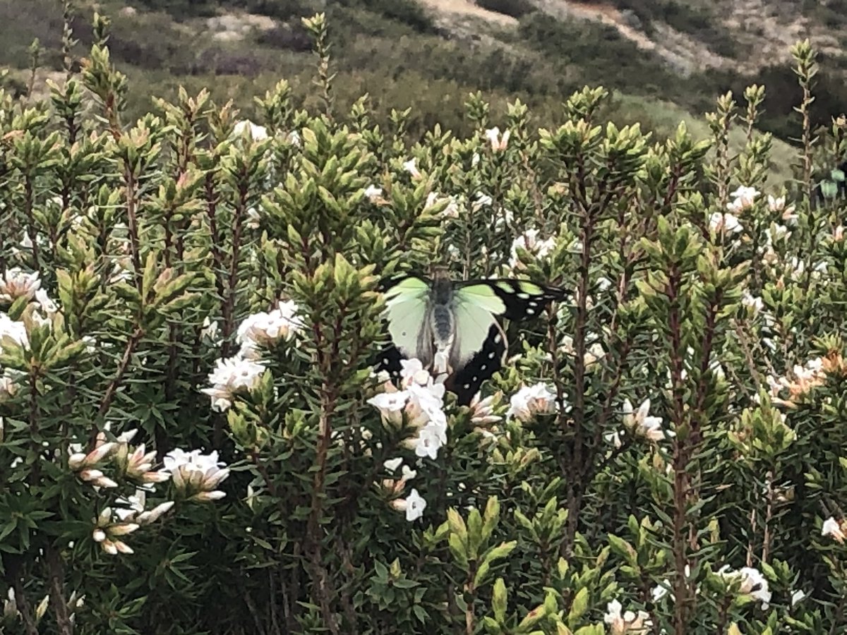
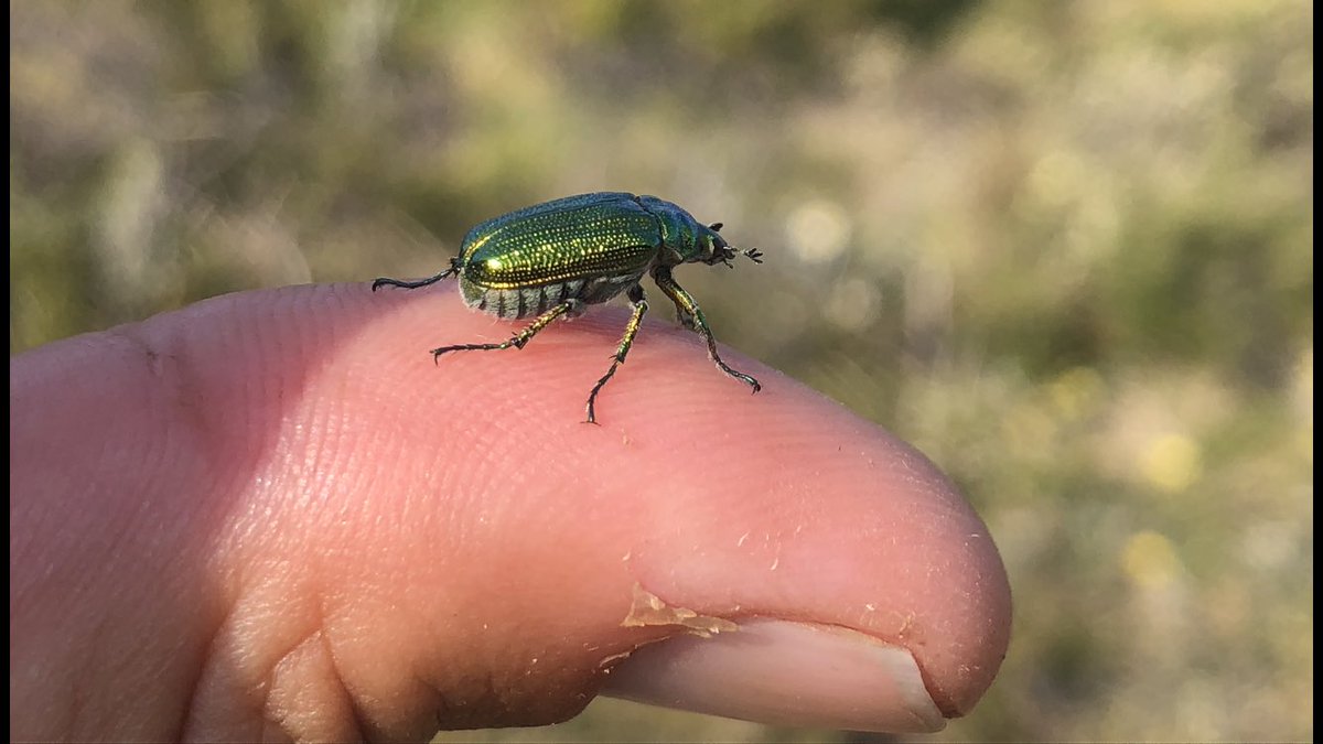
I am absolutely in love with these green butterflies in the high alpine herbfield #AAWT
Oh let’s be honest, I just wanted to say “herbfield”
Oh let’s be honest, I just wanted to say “herbfield”
In the 1800s they named this range “the N-ggerheads”.
They have since been renamed by their indigenous name, the Jaithmathangs #AAWT
They have since been renamed by their indigenous name, the Jaithmathangs #AAWT
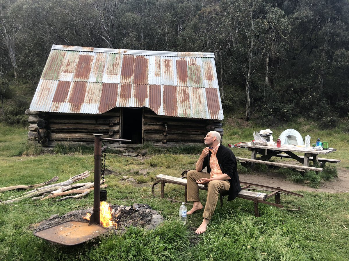
Late evening view from my tent and a shave by the fire beside Dibbins Hut (1917). Two weeks of growth was just too itchy. #AAWT
Morning!
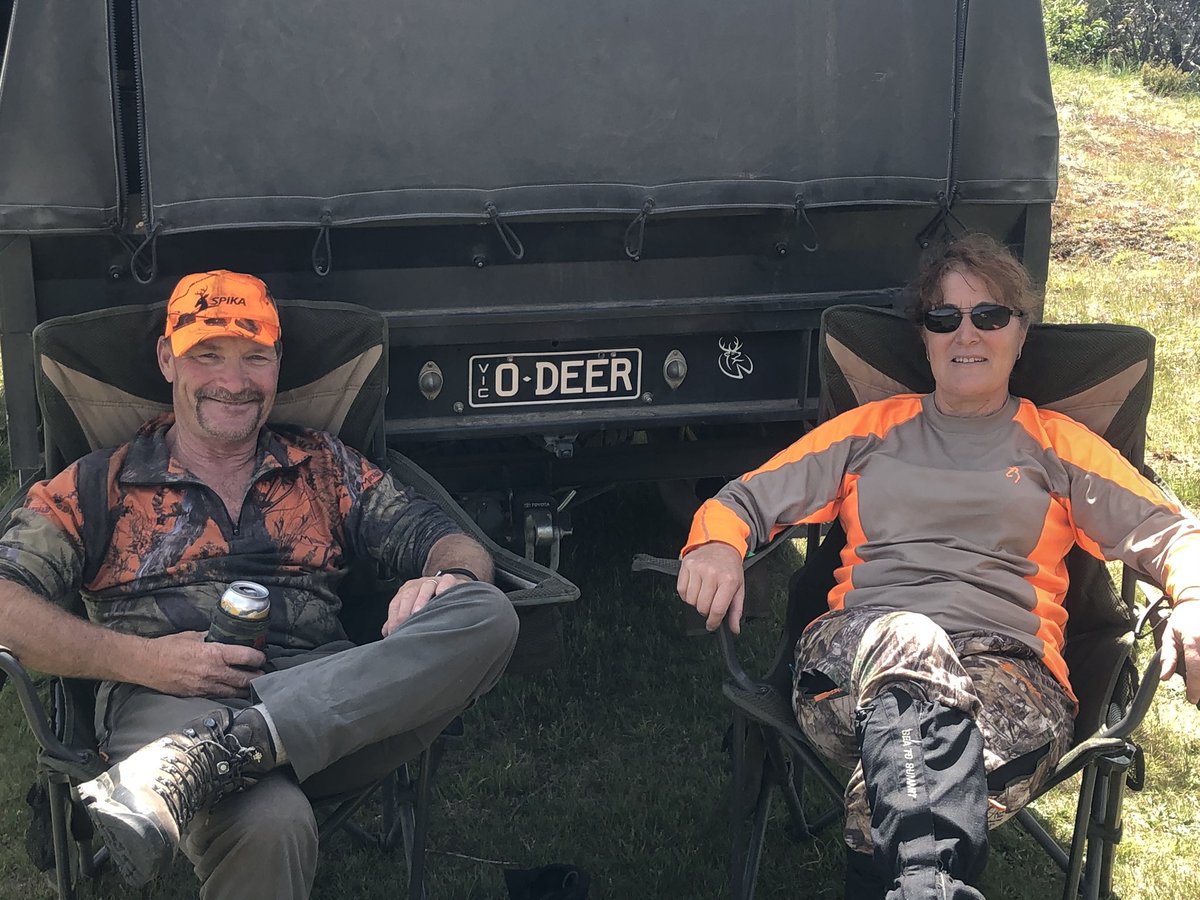
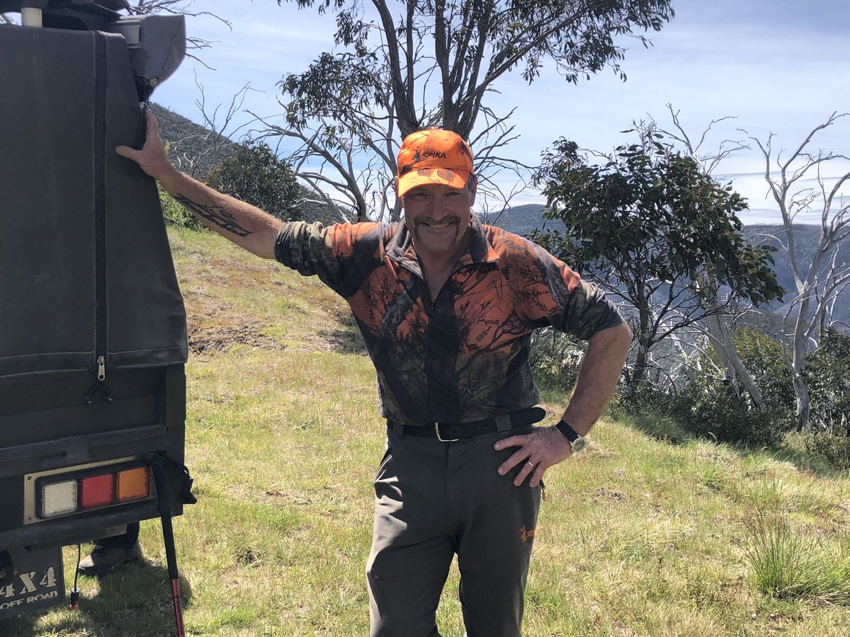
I absolutely love these two. Peter and Melinda, organic yoghurt farmers from Echuca up on the Murray, who drive up to the high country to shoot deer – imported pests which are in plague proportions in the mountains. Check out the number plate! O DEER!!! #AAWT
This humble mound jutting out of the Bogong High Plains is Mt Jim (1818m). It is not one of the world’s great peaks but its summit is six times higher than Australia’s tallest manmade structure and Jims everywhere should be proud of it @JimWilsonTV
Classic Aussie Alpine hut Wallace’s Hut, the stylish outhouse, the snow patch in the gully up the hill and the view far below #AAWT
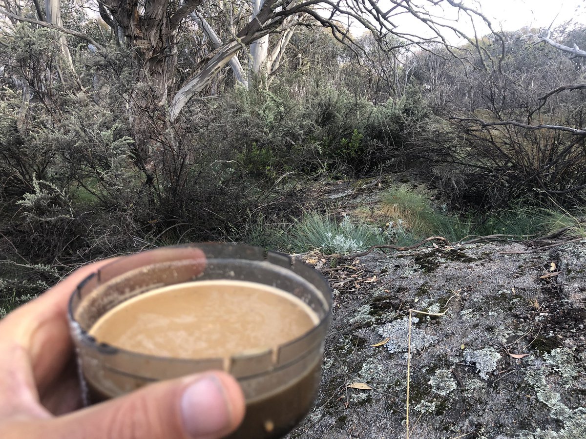
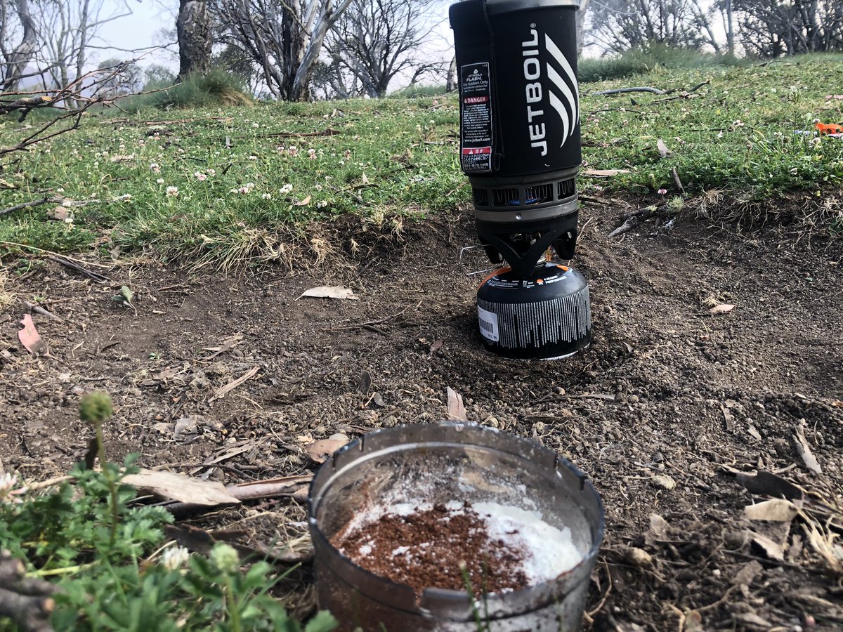
Can’t talk. Having coffee. #AAWT
A chilly but clear day on the #AAWT with some incredible 360 views I simply must share.
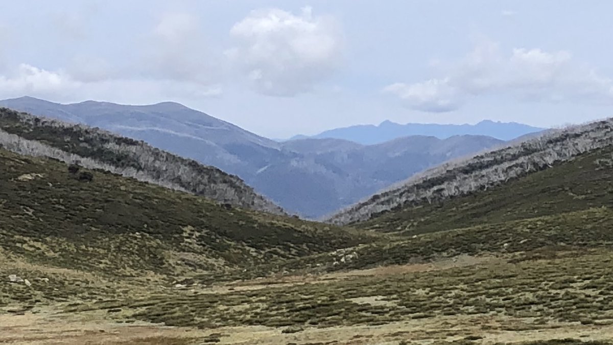
First up, Mt Fainter (left middle distance) and Mt Buffalo plateau in the far distance with its two main peaks, The Horn and The Hump. You decide which is which!
First up, Mt Fainter (left middle distance) and Mt Buffalo plateau in the far distance with its two main peaks, The Horn and The Hump. You decide which is which!
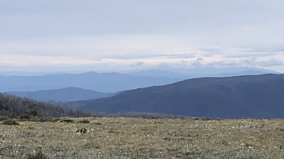
You can’t make much out but this is my first view of the very very distant Kosciuszko area, where I’m due around the 26th. This view excited me greatly but then I’m easily amused #AAWT
And my first up close view of Victoria’s highest peak Mt Bogong. Camping on it tonight. Onwards #AAWT
Absolutely incredible scenes from the eastern flank of Victoria’s highest peak Mt Bogong this morning. Got the whole mountain to myself. Will post more from the summit soon #AAWT
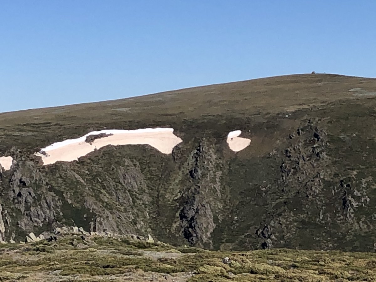
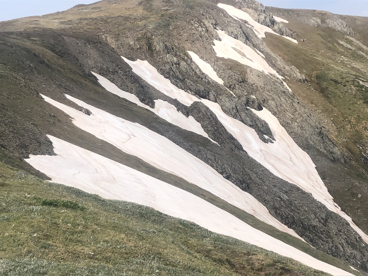
“Scoop of caramel and a scoop of vanilla, please!”
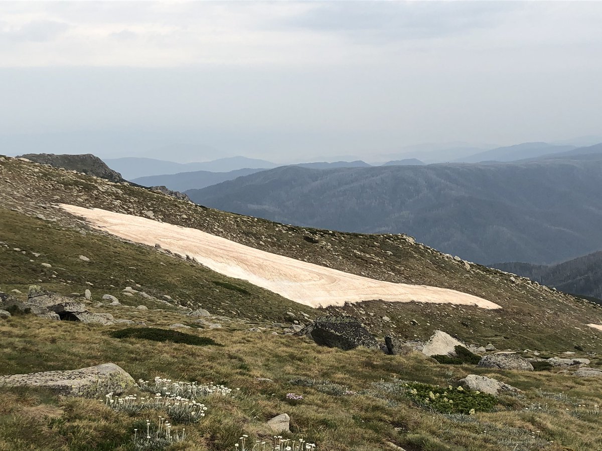
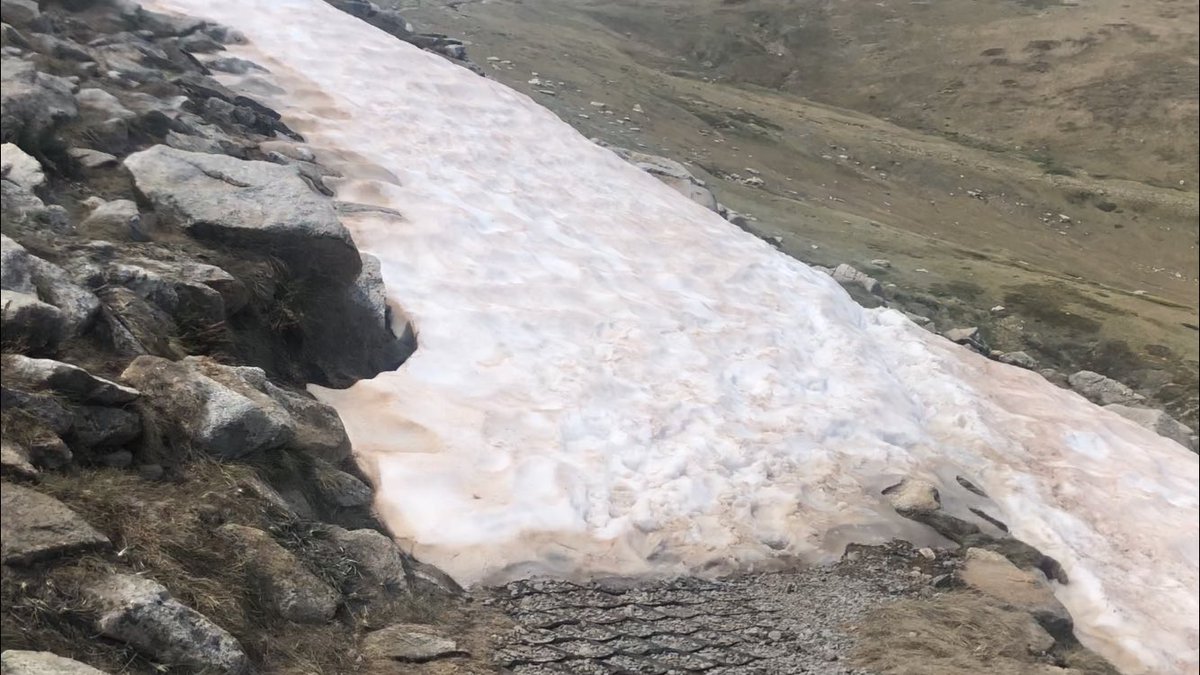
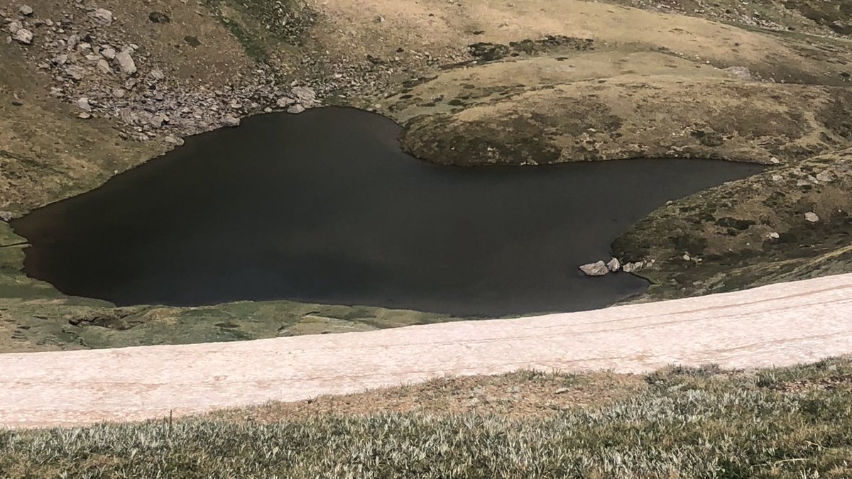
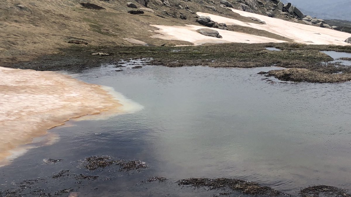
The brown patches beneath the summit of Mt Bogong are remnants of the winter snowpack, coated in dust from spring dust storms.
The white patches are leftovers from the Dec 1st summer blizzard.
Amazing! #AAWT
The brown patches beneath the summit of Mt Bogong are remnants of the winter snowpack, coated in dust from spring dust storms.
The white patches are leftovers from the Dec 1st summer blizzard.
Amazing! #AAWT
This is the 360 degree view from Mt Bogong (1986m).
I am officially the highest person in the state of Victoria, and given some of the people I’ve met in Melbourne, that’s really saying something! #AAWT
I am officially the highest person in the state of Victoria, and given some of the people I’ve met in Melbourne, that’s really saying something! #AAWT
To approach a mountain and then climb it is like getting to know a person. Impressions change as you get to know the mountain, its nuances, its moods. It’s incredibly rewarding and so much richer than just “peak bagging”.
This view is Mt Feathertop, Vic’s 2nd highest peak #AAWT
This view is Mt Feathertop, Vic’s 2nd highest peak #AAWT
Possibly not the smartest thing I’ve ever done two days, 25km and one deep river crossing from the nearest human, but I just couldn’t resist a bit of Mt Bogong summer boot skiing #AAWT
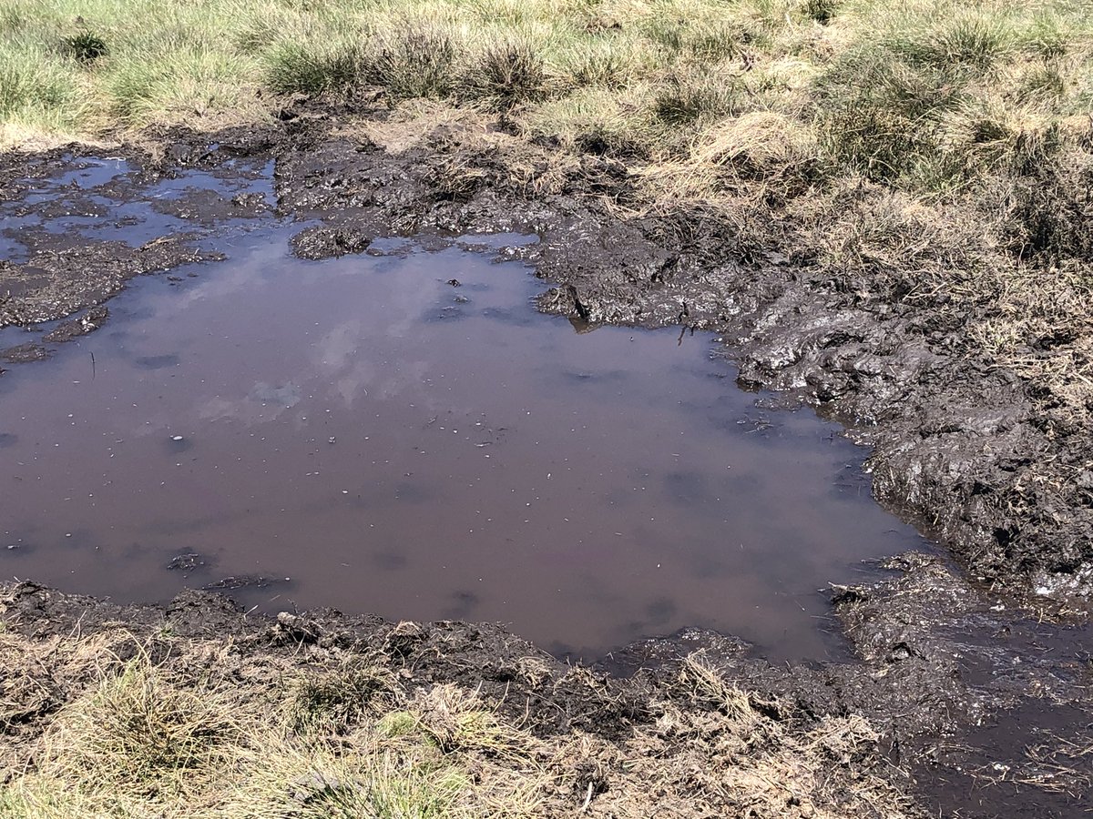
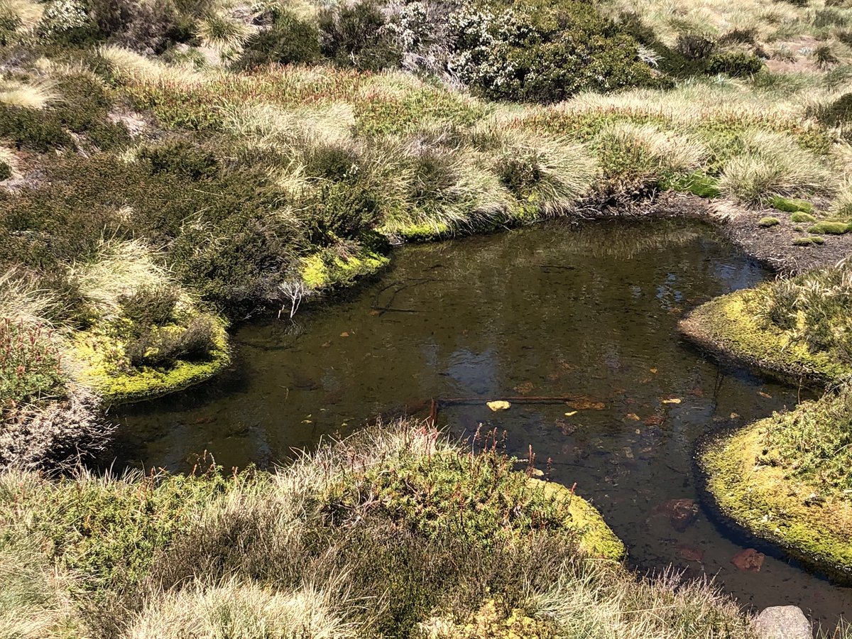
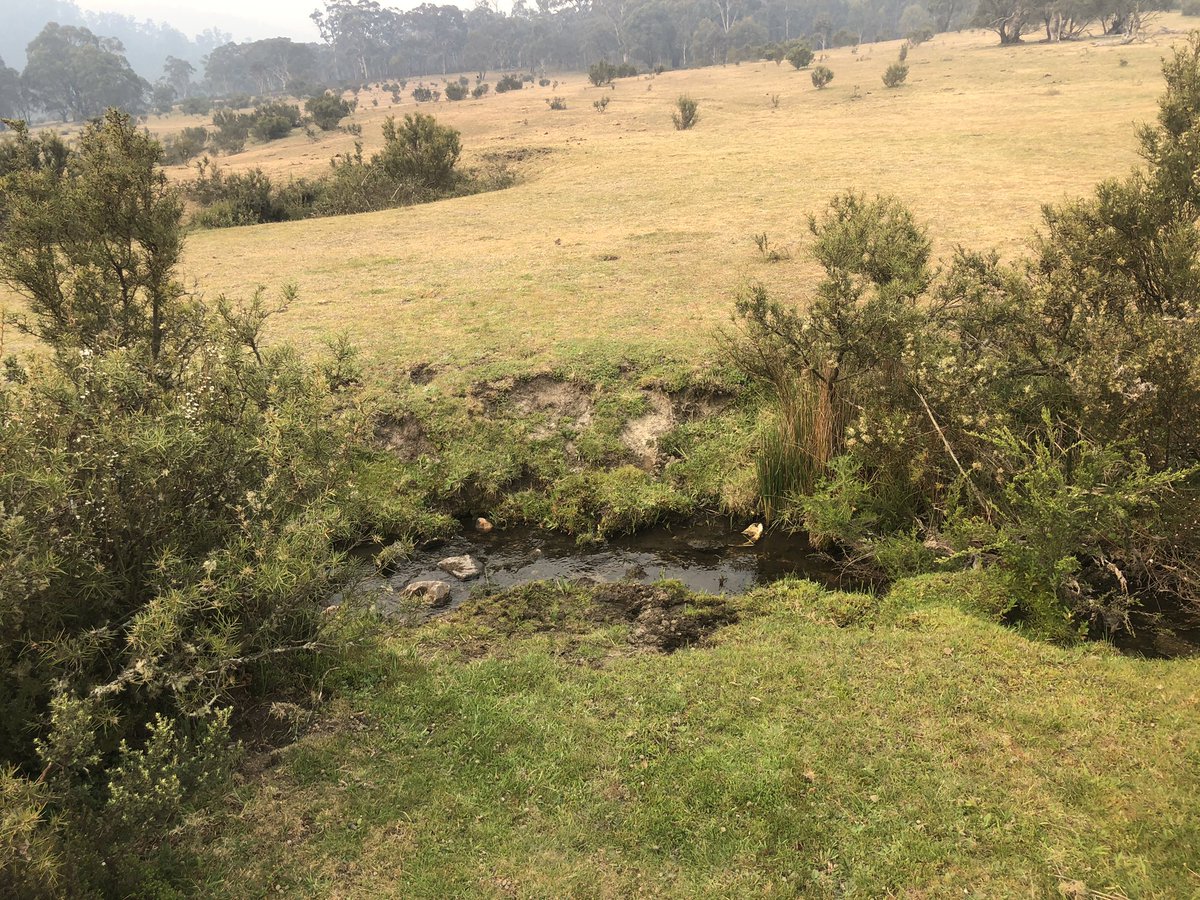
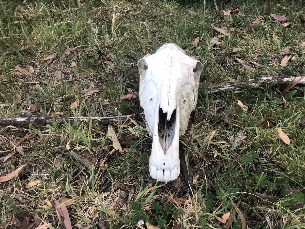
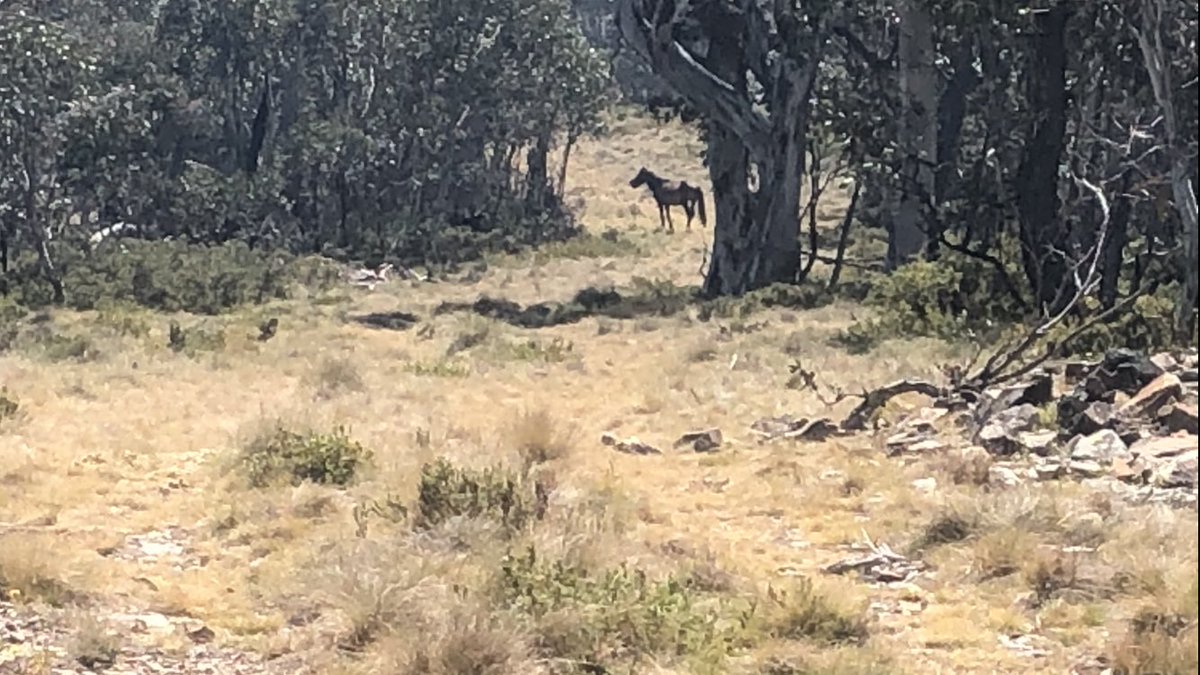
This is invaluable evidence of the disaster caused by horses and deer near alpine steams. Please share with anyone who advocates for brumbies for cultural reasons
1. A ruined pool beside a stream
2. A pristine healthy one
#AAWT
1. A ruined pool beside a stream
2. A pristine healthy one
#AAWT
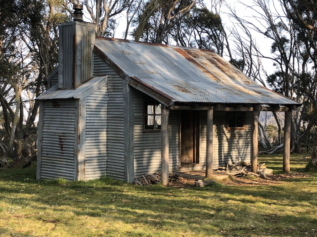
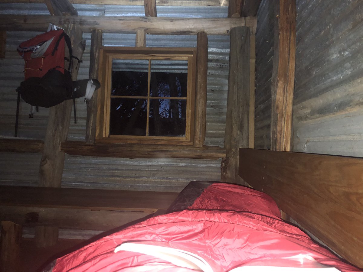
Spent the night in Ropers Hut, a wonderfully maintained High Country classic set among beautiful snowgums. Ropers was rebuilt after the 2009 fires. I named its resident bush rats George & Mildred.
Was a BRUTAL climb to get here after sketchy river crossing, but that’s the #AAWT
Was a BRUTAL climb to get here after sketchy river crossing, but that’s the #AAWT
Running late. Gotta walk fast to meet an absolute legend DAVE FROM TAWONGA who has volunteered to drive me to my next food drop because the next two days of track are closed by fires. HOW GOOD ARE PEOPLE? Anyway here’s a quick view looking back at Mt Bogong this morn #AAWT
Two days of track bypassed due to fire closure. Thanks to a lift from Dave from Tawonga, I am now on the dry lowlands of the Mitta Mitta River valley near Benambra, sitting out the heatwave, eating chips and healing my blisters for a coupla days #AAWT
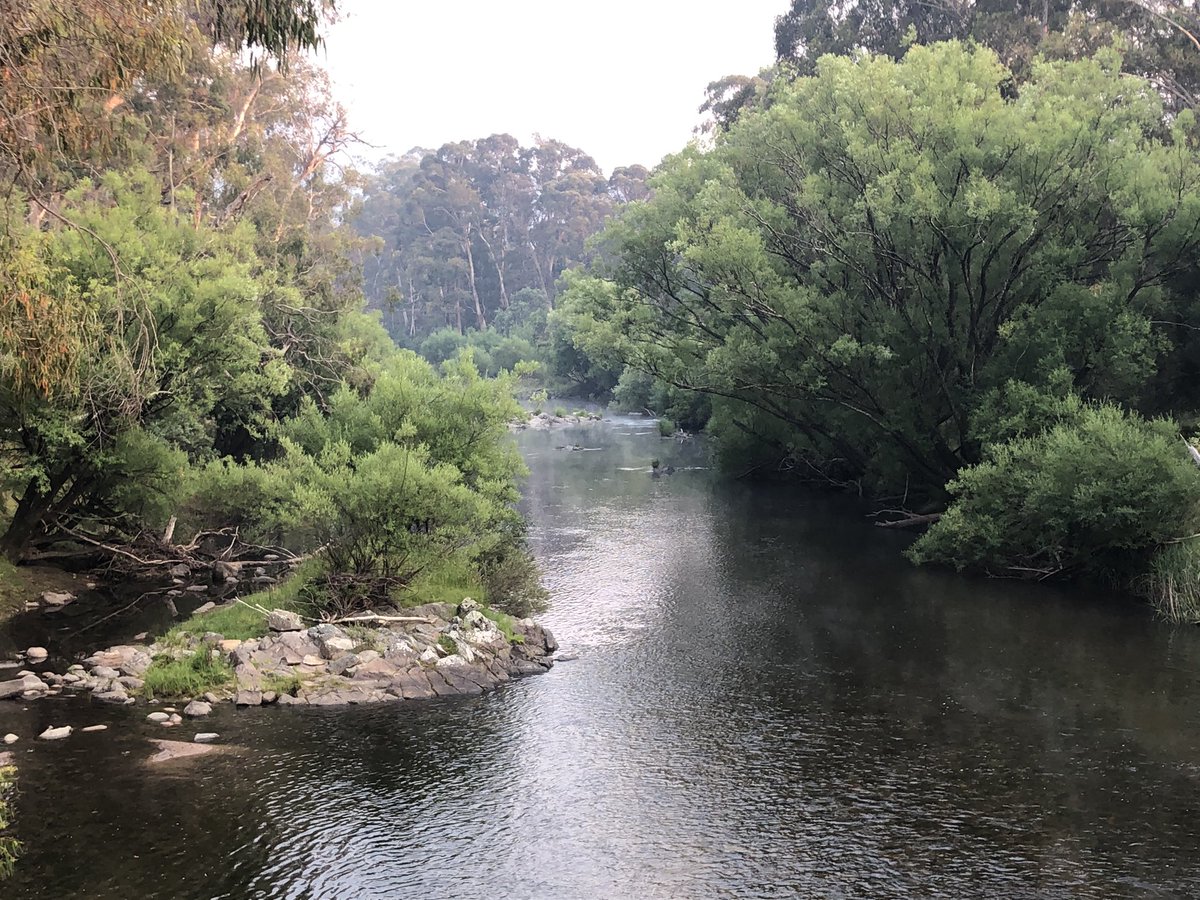
Spent the last day camped on the Mitta Mitta River with this character, who is fuelled by bourbon and dreams/nightmares.
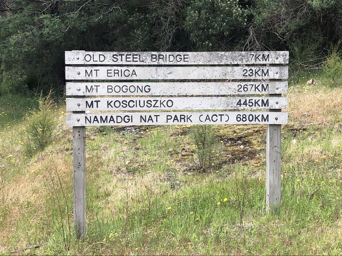
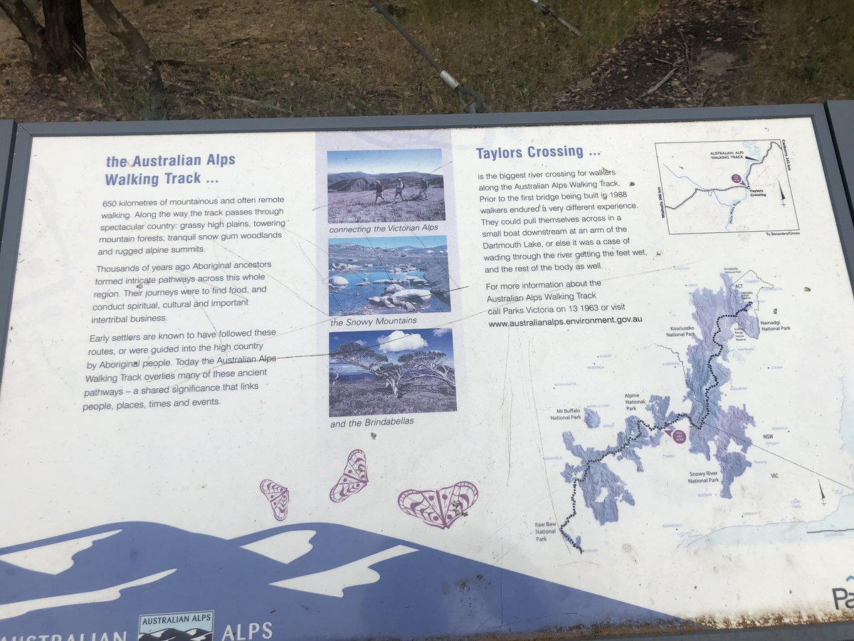
Sign shows where I am with info on #AAWT
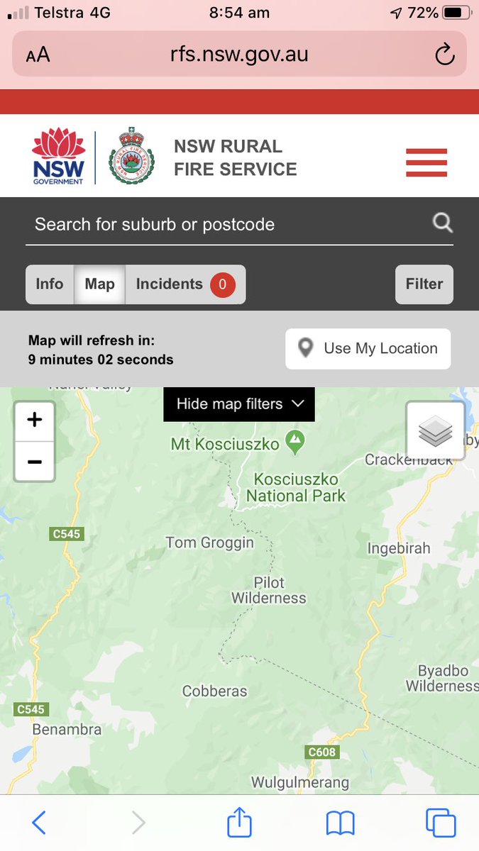
Soon heading to deep wilderness, Cobberas to Kosciuszko with no reception for a week. No fires there now fortunately
Sign shows where I am with info on #AAWT
Soon heading to deep wilderness, Cobberas to Kosciuszko with no reception for a week. No fires there now fortunately
Mitta Mitta twilight last night. 44 here today, staying by river. Air already hot enough to bake bread. Heading off tomorrow to a place called Cowombat Flat, where the River Murray is so narrow you can put one foot each side. I’ll let you know if I see a mythical cowombat. #AAWT
He hooned down to the river in his ute, way too fast. What a dick, I thought. Turns out he was the dad of the woman & toddler playing in the shallows. “Fire!” he yelled.
Quickly I grabbed my backpack and left my tent & its contents. We roared up the hill in the woman’s ute
Quickly I grabbed my backpack and left my tent & its contents. We roared up the hill in the woman’s ute
On top of the hill you could see and smell the towering plume of smoke. We drove to the woman’s property, hitched up a trailer (I had never done this, had no idea, was useless, felt humiliated) and coaxed her favourite brown mare in. It was a lovely animal. Then we drive to town
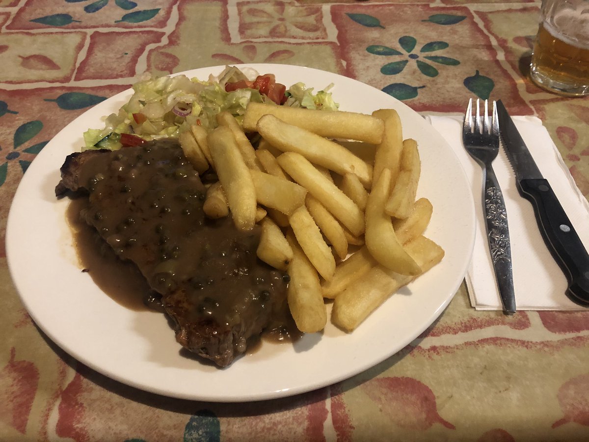
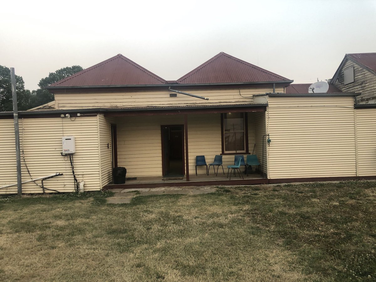
In benambra I checked in with the CFA to tell them the line tent at the river was mine so nobody would look for me. I soon learned the fire was under control. It made the VIC fires app but was a local grassfire. Anyway a night in wonderful Benambra Hotel awaited
I’ve had 2 sections of the #AAWT closed on this trip due to November fires, which is as early as any high country local can remember. This was my first taste of fire emergency in real time. The urgency & fearlessness shown by locals was so impressive. I salute them and all firies
Anyway now I’m in NSW. This is the Murray River at Cowombat Flat. Yes the actual Murray. 100m upstream it was bone dry. So this ladies and gentlemen is effectively the first trickle of Australia’s longest river
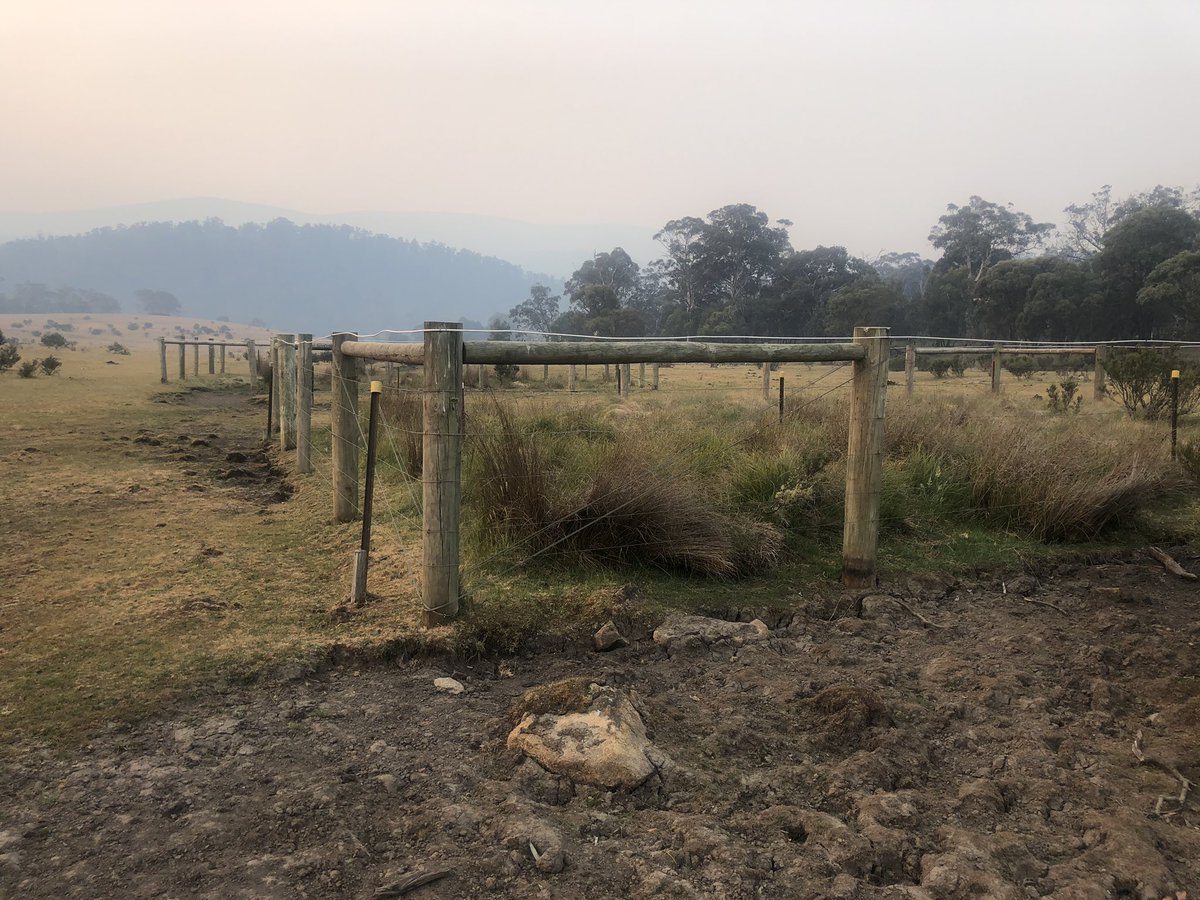
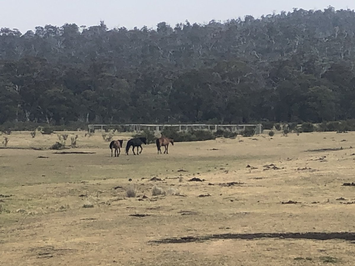
Cowombat Flat is full of brumbies. The positive is they’ve made a safe haven from fires by eating vegetation to the ground. The negative is they’ve eaten vegetation to the ground and fouled the river in places. Behind the fence is what vegetation SHOULD look like here
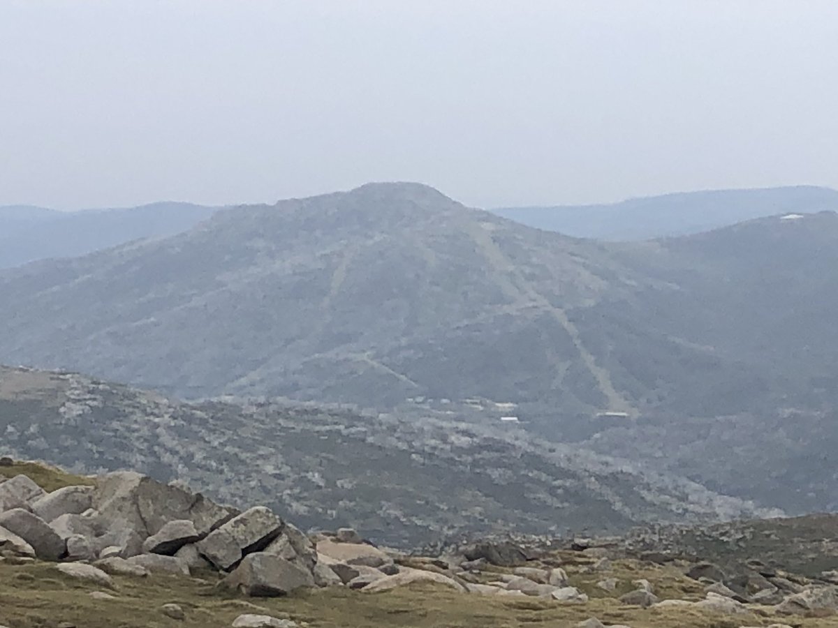
I want to share one more photo before I disappear into a valley and reception goes. It’s a view I took from Thredbo last winter of Mt Pilot (1829m, the distant conical one). I’m approaching it now from the far (southern) side. May climb it depending on energy level #AAWT
The brumby up ahead is playing territorial games with me. He gallops ahead, stops on a rise as though daring me to continue, then gallops on again. Now he’s whinnying to his herd saying “I’ll sort this intruder bastard out”. It’s freaking me out tbh
Some really beautiful undulating walking since I last had reception two days ago, punctuated of course by frequent brumby sightings #AAWT
Anyway then this happened. This is my favourite thing in the 21 days I’ve been on the #AAWT. In a nice change from feral horses, a couple of emus wandered by. “Eek! A human! I’ll hide behind a tree,” one of them said #emufail
But wait, there’s more...
But wait, there’s more...
So the emus basically decide they’ll walk ahead of me and I won’t notice them that way. Emu logic is sketchy at the best of times #AAWT
Then they decide they’ll run. CAN YOU IMAGINE THEIR SURPRISE WHEN THEY STOP TO PECK STUFF AMD I’VE CAUGHT UP? The game continues maybe 40 minutes until finally it occurs to them to duck off into the bush.
Conclusion: emus are not smart #AAWT
Conclusion: emus are not smart #AAWT
Stayed 2 nights ago at Tin Mine Huts, which are at least 50km from even the nearest farmhouse. A recluse called Charlie Carter lived here for over 12 yrs, breaking in brumbies & occasionally walking to town to sell em. They found him dead in 1952 with a saddle in his hand AAWT
And last night was at Cascade Hut, a restored mountain beauty only 15km from Thredbo.
Plan now is to kick around in the hills living on supplies until meet fam in Thredbo on 26th. Have set aside Chinese satay jerky as substitute for Xmas ham and a Chomp bar for pud. Yum! #AAWT
Plan now is to kick around in the hills living on supplies until meet fam in Thredbo on 26th. Have set aside Chinese satay jerky as substitute for Xmas ham and a Chomp bar for pud. Yum! #AAWT
Lastly before descending to no-reception zone, this is the imposing western face of 1829m Mt Pilot (I posted a winter view of it a few days ago taken 50km north in Thredbo.) Anyway I thought about climbing it but it said a forbidding no. When a mountain says that, you listen
Ok one more. I fell in love with Cascade Creek, home of the famous Cascades Brumbies from the Elyne Mitchell book (and @russellcrowe movie) The Silver Brumby. Movie wasn’t actually filmed here but still. Incredible valley. One days walk from Thredbo if you’re keen #AAWT
I’ve bush-bashed off trail through scrub to get to this unnamed high point overlooking Australia’s fourth highest peak Mt Ramshead (2190m) and ski slopes of Thredbo through the smoky gloom. Can actually see it all quite clearly myself. Pics kill it. Anyway #AAWT
Tonight’s campsite. Yeah that’s bambi behind the trees checking me out, and the top station of the Kosciuszko Express Chairlift at Thredbo looking the other way. For some reason I feel like venison #AAWT
Little unnamed creek SW of Thredbo to cool your Christmas Day down #AAWT
Incredible that it hasn’t rained all month here.
Incredible that it hasn’t rained all month here.
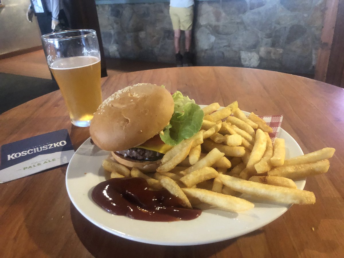
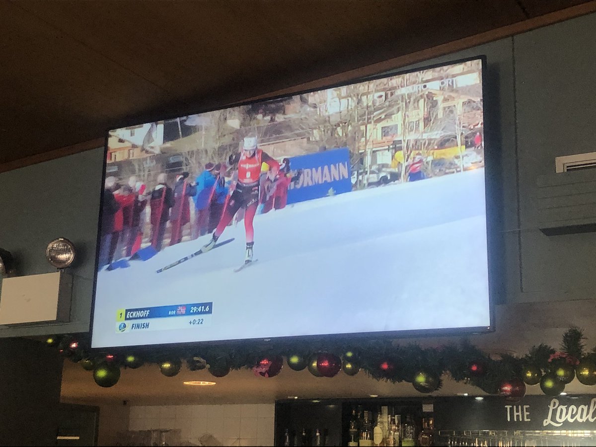
Couldn’t resist. Led by parched throat and taste buds, I was drawn to Thredbo for a beer and a burger and a spot of ski racing* on the TV. Best Christmas lunch ever. #AAWT
*It’s actually biathlon (skiing and shooting). @AUSBiathlon would never forgive me for getting that wrong
*It’s actually biathlon (skiing and shooting). @AUSBiathlon would never forgive me for getting that wrong
My Boxing Day in Thredbo is going just fine, thanks. 250km of the 660km #AAWT to go, give or take fire closures, but not before one serious day of slothing. Best wishes to you all #BoxingDayTest #AUSvNZ
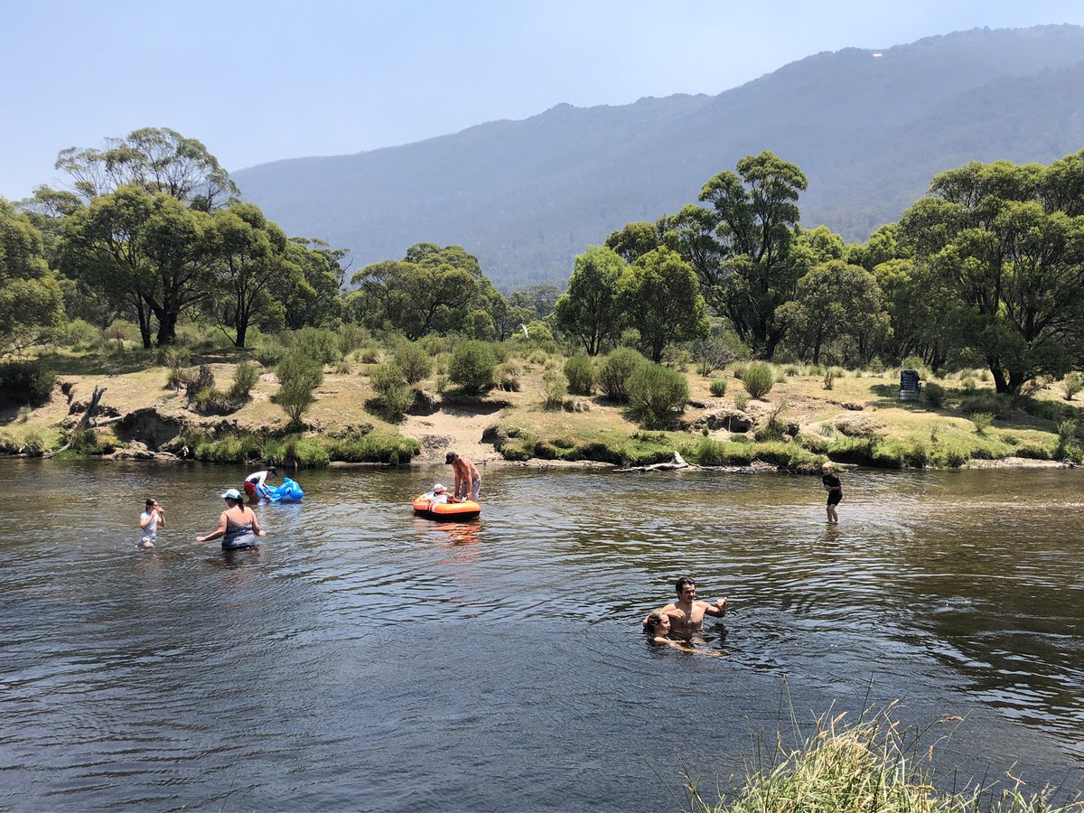
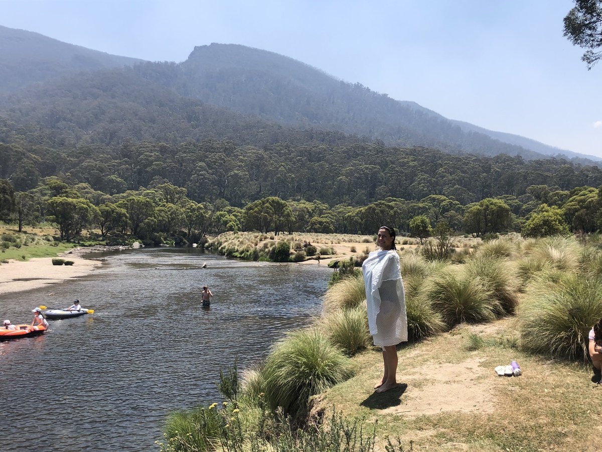
Gorgeous Thredbo River scenes. Water temperature largely unaffected by small stubborn snow patch. Back on the #AAWT trail tomorrow
Back on the #AAWT trail and I reckon this beautiful isolated windswept snowgum might be Australia’s highest tree. GPS ping logged it at 2090m. Normal tree line around here is about 1850-1950. It was ABOVE the snow patch.
Very windy up here on a small knoll beside Mt Ramshead, Australia’s fourth highest peak, but not too hot thankfully. That’s Mt Kosciuszko at the start and end of the panorama. Should be up there for lunch within two hours #AAWT
PEAK HOUR here on Mt Kosciuszko, highest mountain in the state of New South Wales and of course Australia. Very different to when I had Victoria’s highest peak Mt Bogong to myself 2 weeks ago. But good to see people enjoying it. Northwards to quieter parts of the #AAWT for me now
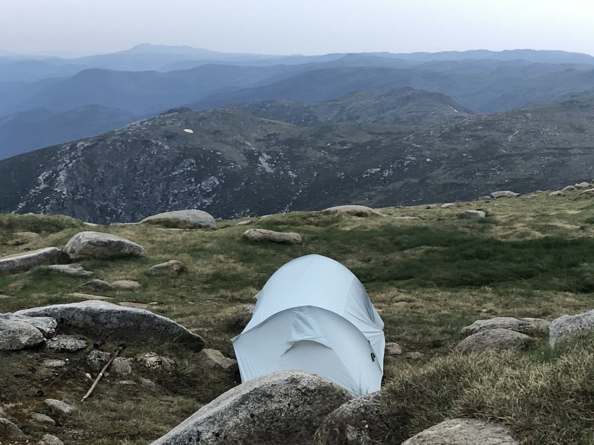
Probably the best #AAWT campsite yet last night.
I camped in a storm on W side of Aust’s 3rd highest peak Mt Twynam.
3rd pic shows eastern side of Twynam as viewed from Guthega ski resort (its oft mistaken for Kosciuszko by skiers)
4th pic taken just now looks back to Guthega
I camped in a storm on W side of Aust’s 3rd highest peak Mt Twynam.
3rd pic shows eastern side of Twynam as viewed from Guthega ski resort (its oft mistaken for Kosciuszko by skiers)
4th pic taken just now looks back to Guthega
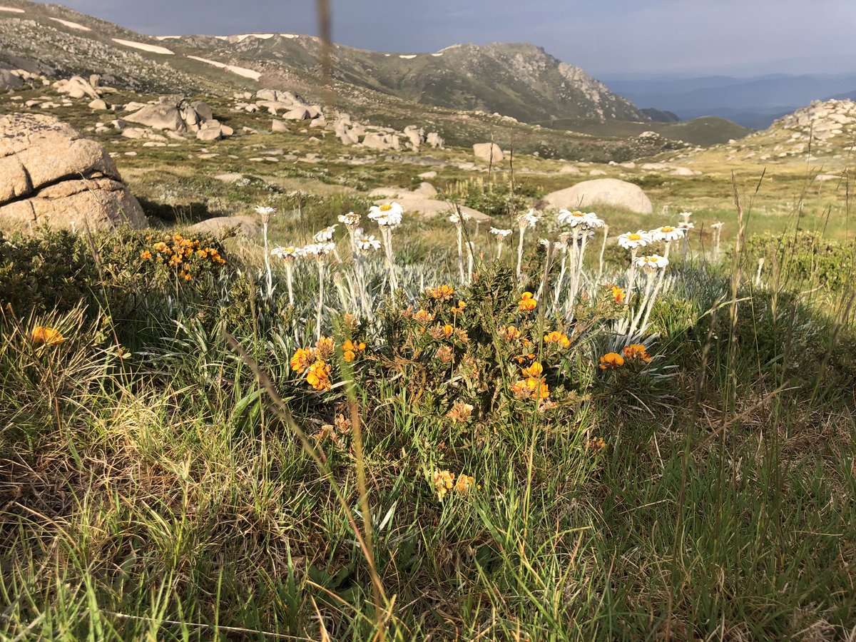
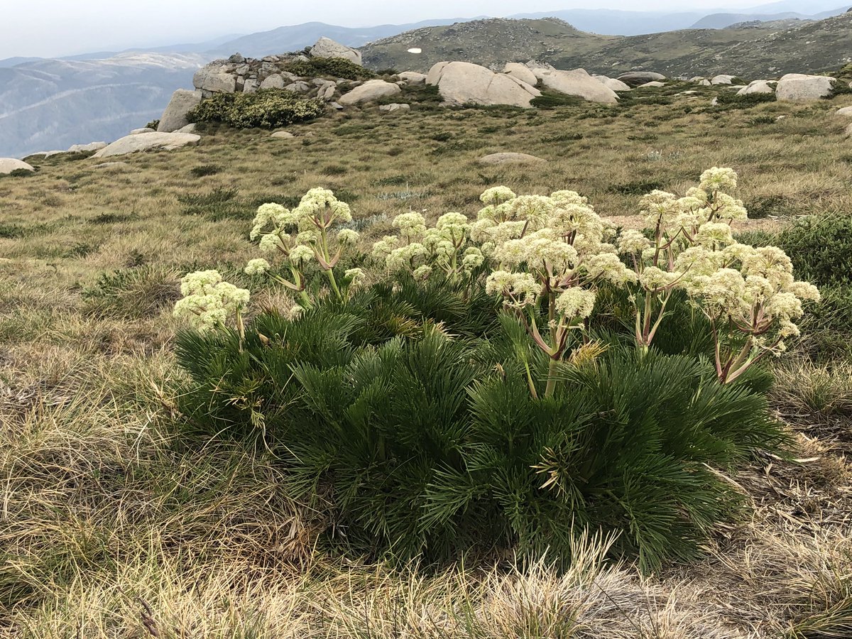
Let’s do some #AAWT wildflowers.
1. Silver snow daisies alongside the ubiquitous bacon & egg bush (not its real name)
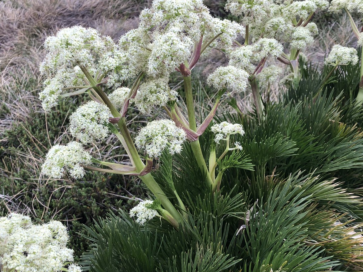
2&3. Alpine celery (its real name!)
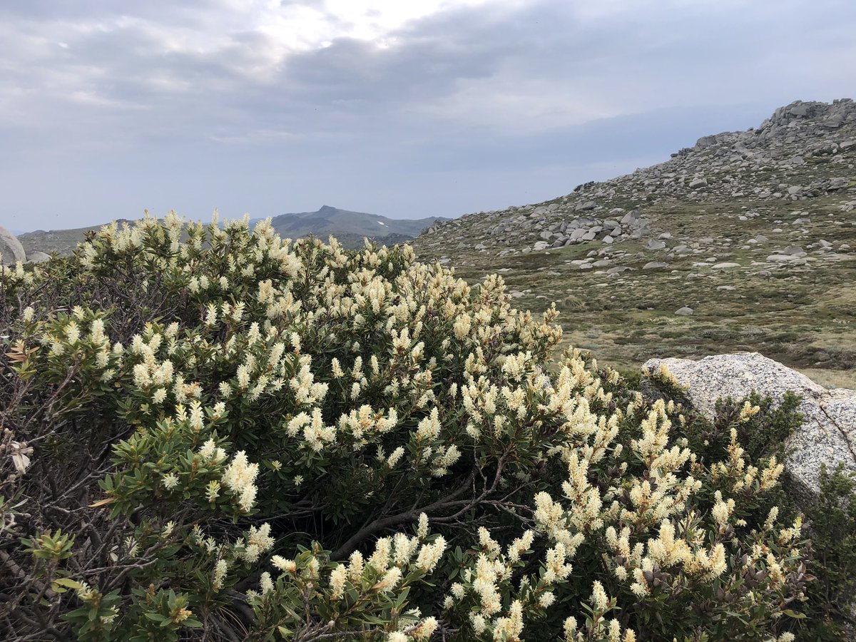
4. Some yellowy white bush, no idea sorry
1. Silver snow daisies alongside the ubiquitous bacon & egg bush (not its real name)
2&3. Alpine celery (its real name!)
4. Some yellowy white bush, no idea sorry
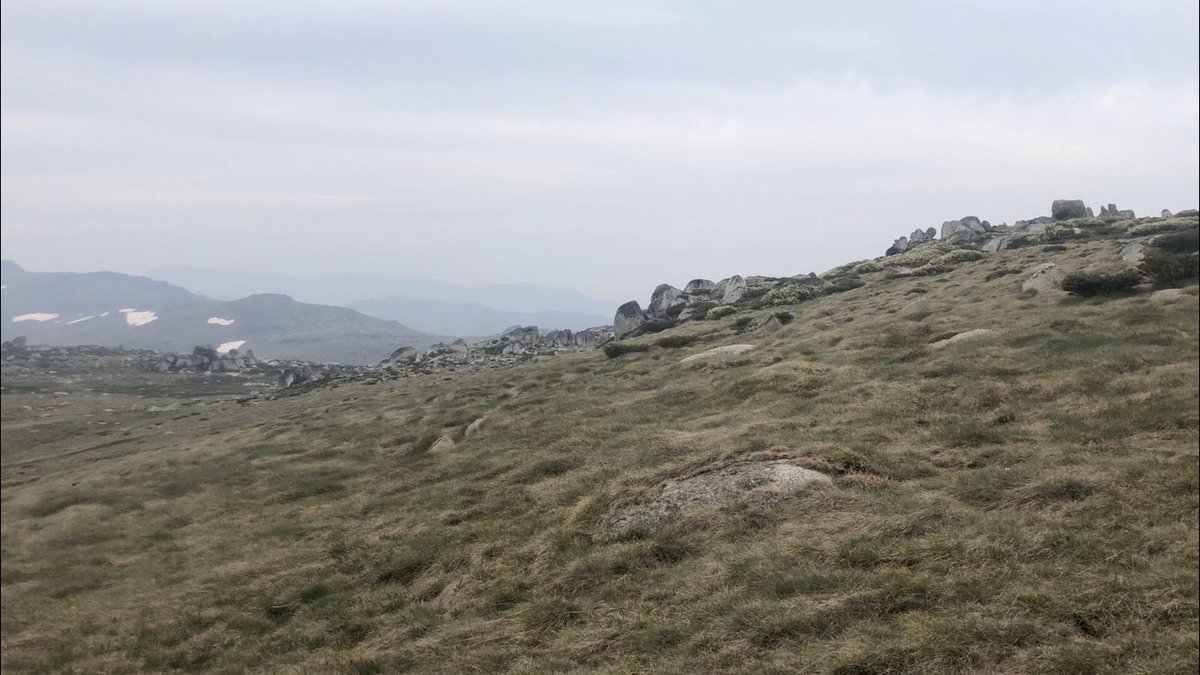
This is The Rolling Ground, a high windswept, featureless, trackless boulderscape, which is famous for disorientating cross-country skiers in blizzards. I’ve got a few more km here to navigate, then descend to zone of no phone reception for a few days. Happy New Year! #AAWT
OK I’ve reached the eastern edge of The Rolling Ground. Crossing took 3x longer than planned due to navigation issues. Now just gotta get to the road far below. Looking for a track that takes me there. Will bush bash and cross river if can’t find it. Another relaxing # #AAWT arvo
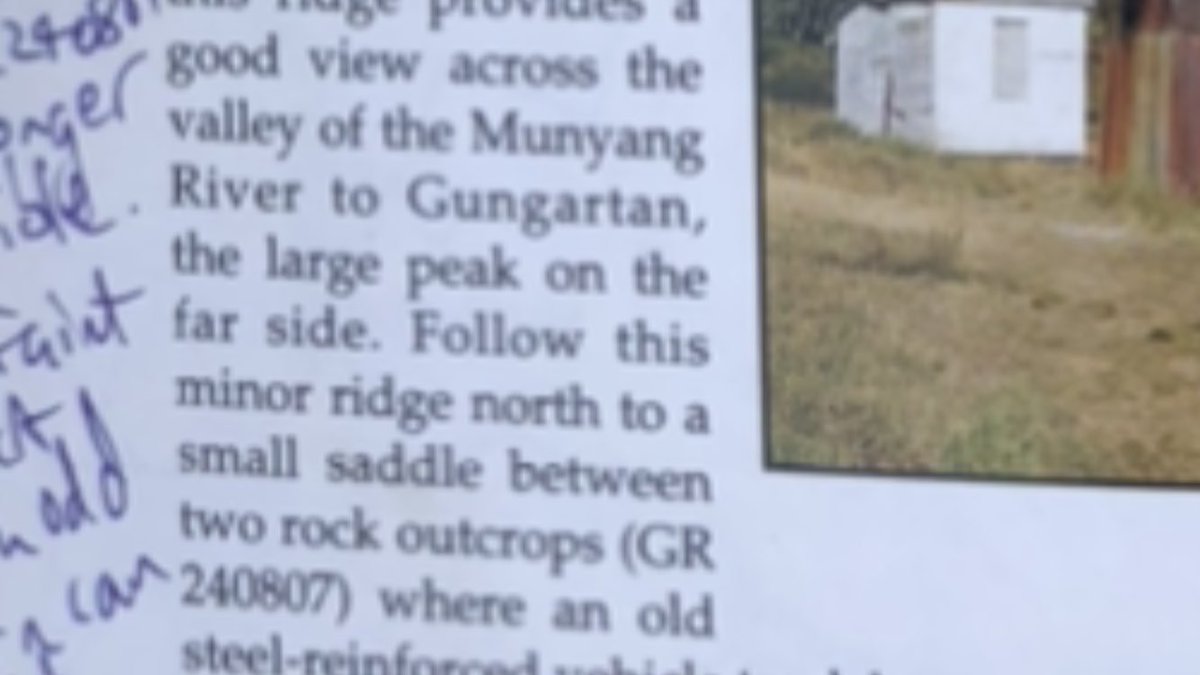
Track notes said look for an old track between two rock outcrops.
BETWEEN TWO ROCK OUTCROPS! IN A LANDSCAPE COMPRISED ENTIRELY OF ROCK OUTCROPS! BAHAHAHAHAHA
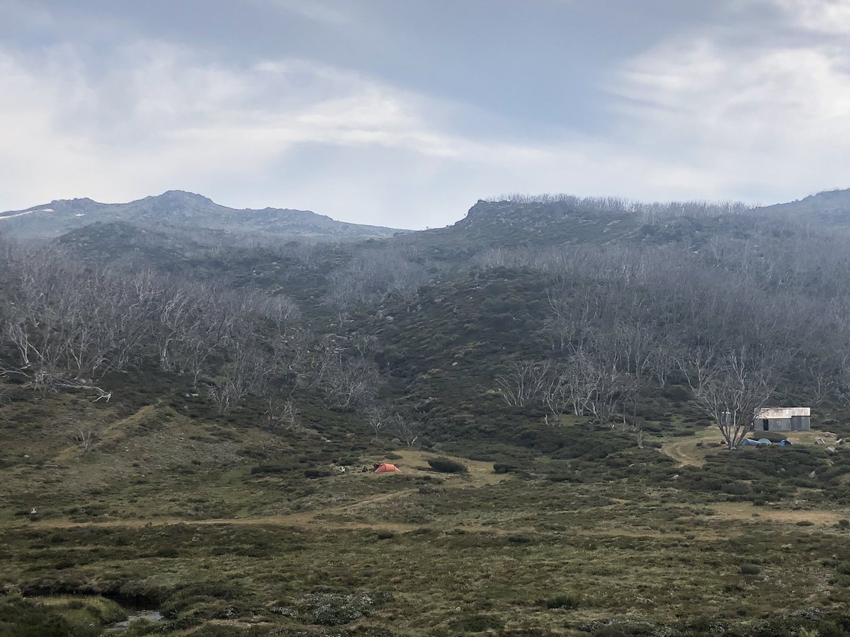
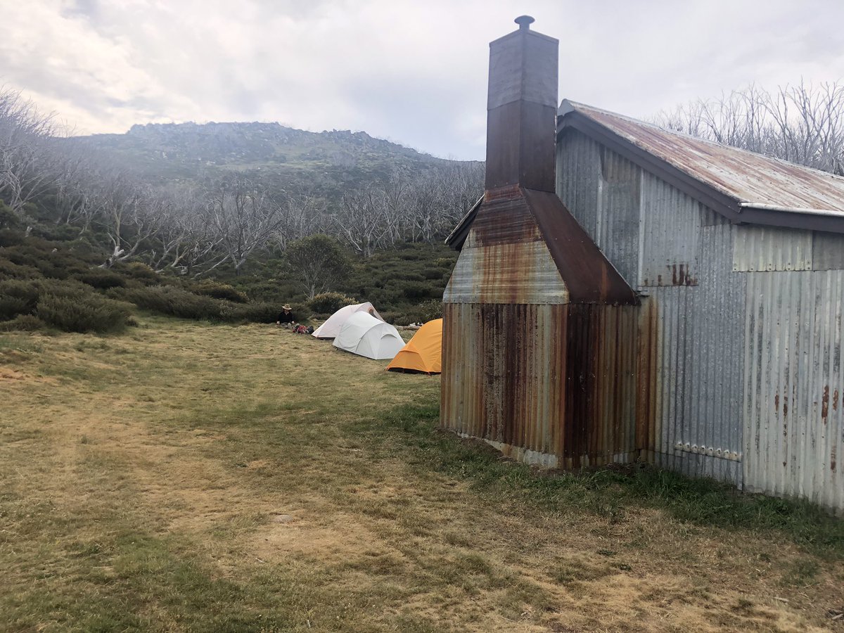
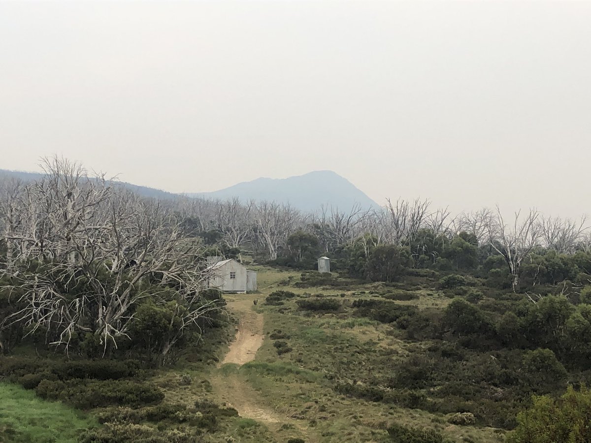
Anyway I found it. By this hut now. 3km still to camp or 10km if I can be bothered #AAWT
BETWEEN TWO ROCK OUTCROPS! IN A LANDSCAPE COMPRISED ENTIRELY OF ROCK OUTCROPS! BAHAHAHAHAHA
Anyway I found it. By this hut now. 3km still to camp or 10km if I can be bothered #AAWT
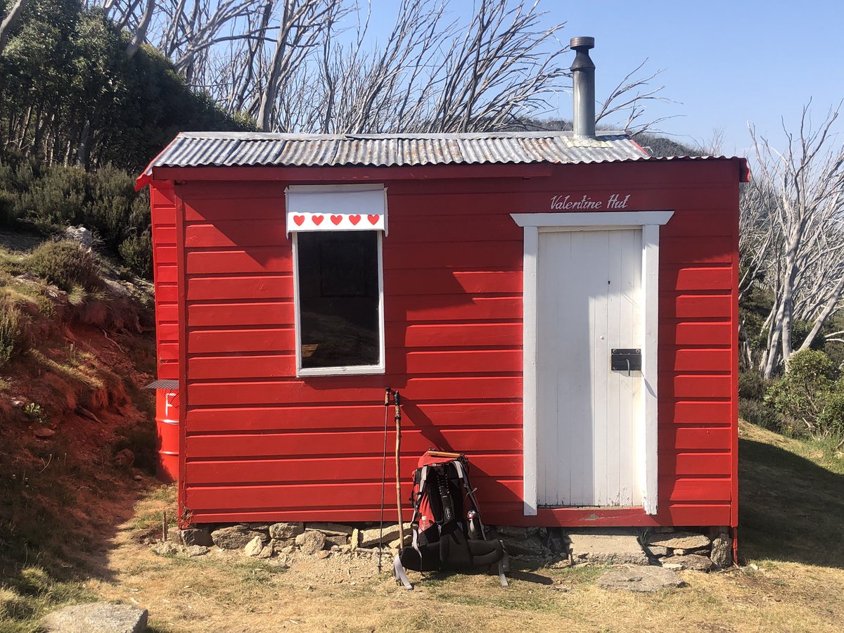
I’m 23 km into a 27km day. Undoubted highlight so far has been Valentine’s Hut. What a sweetheart! Best emergency shelter I’ve seen on the #AAWT and amazing swimming hole less than 100m walk down the hill
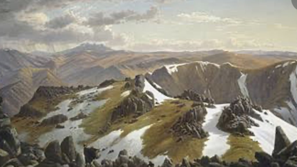
In the National Gallery of Australia, there’s a famous painting of the view from Mt Kosciuszko looking north, by Eugene Von Guerard. In the distance the huge monolithic peak is Mt Jagungal. I have spent the day approaching it and am on its western flank now #AAWT
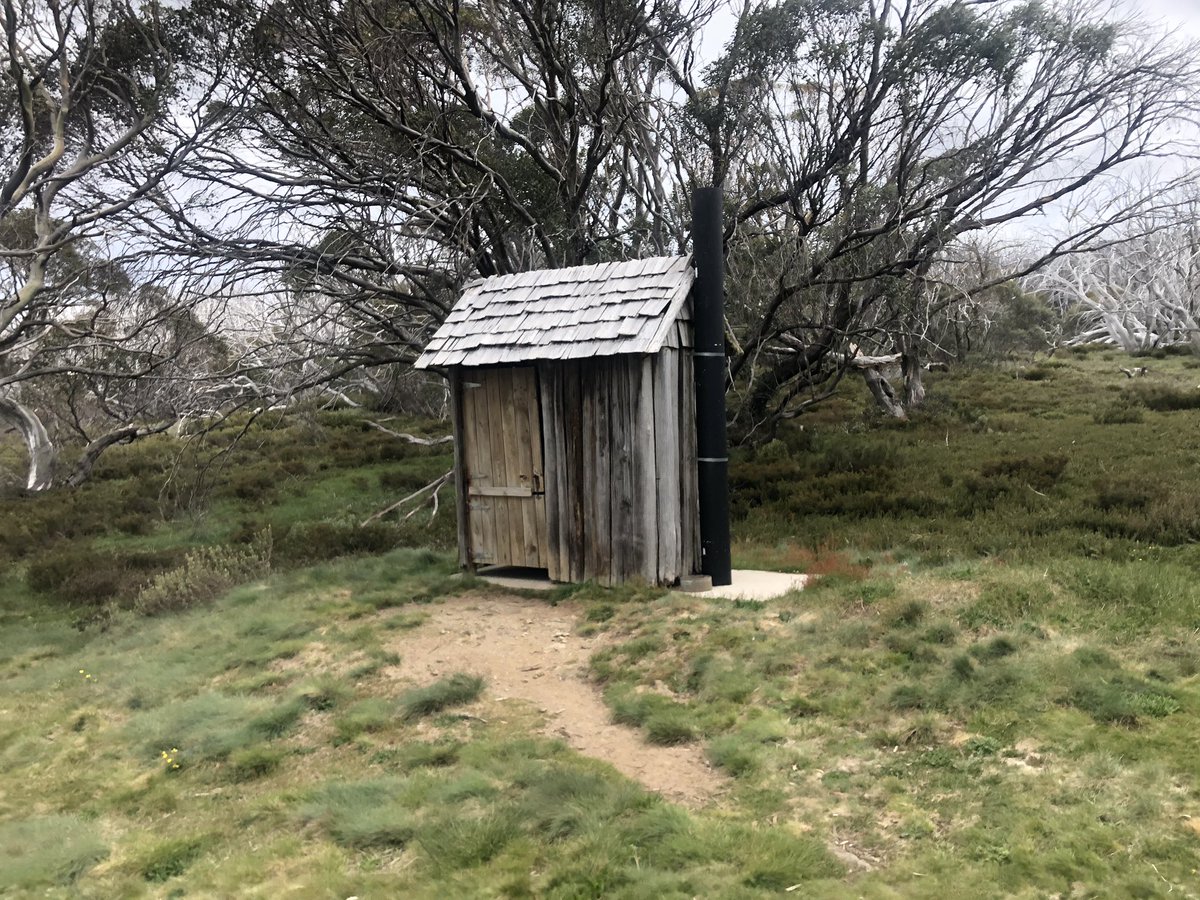
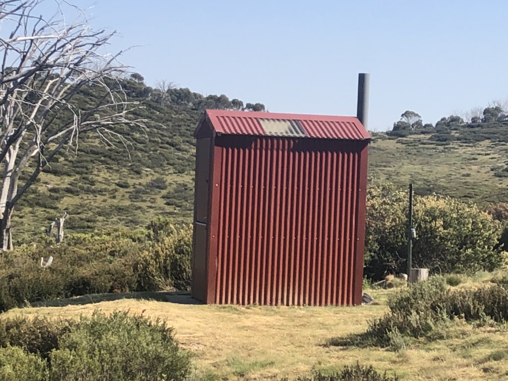
O’keefe’s Hut outhouse in evening light, and the outhouse at Valentine Hut earlier today. I’m going through a bit of an outhouse arthouse phase #AAWT
Smoke from a fire near Tumbarumba has blown in. No danger up here for now, but the mountains have a very bleak feel today, which grabs hold of your mood. Onwards, and good luck to all firies and people in harm’s way today #AAWT
I’m being evacuated. Everything is ok
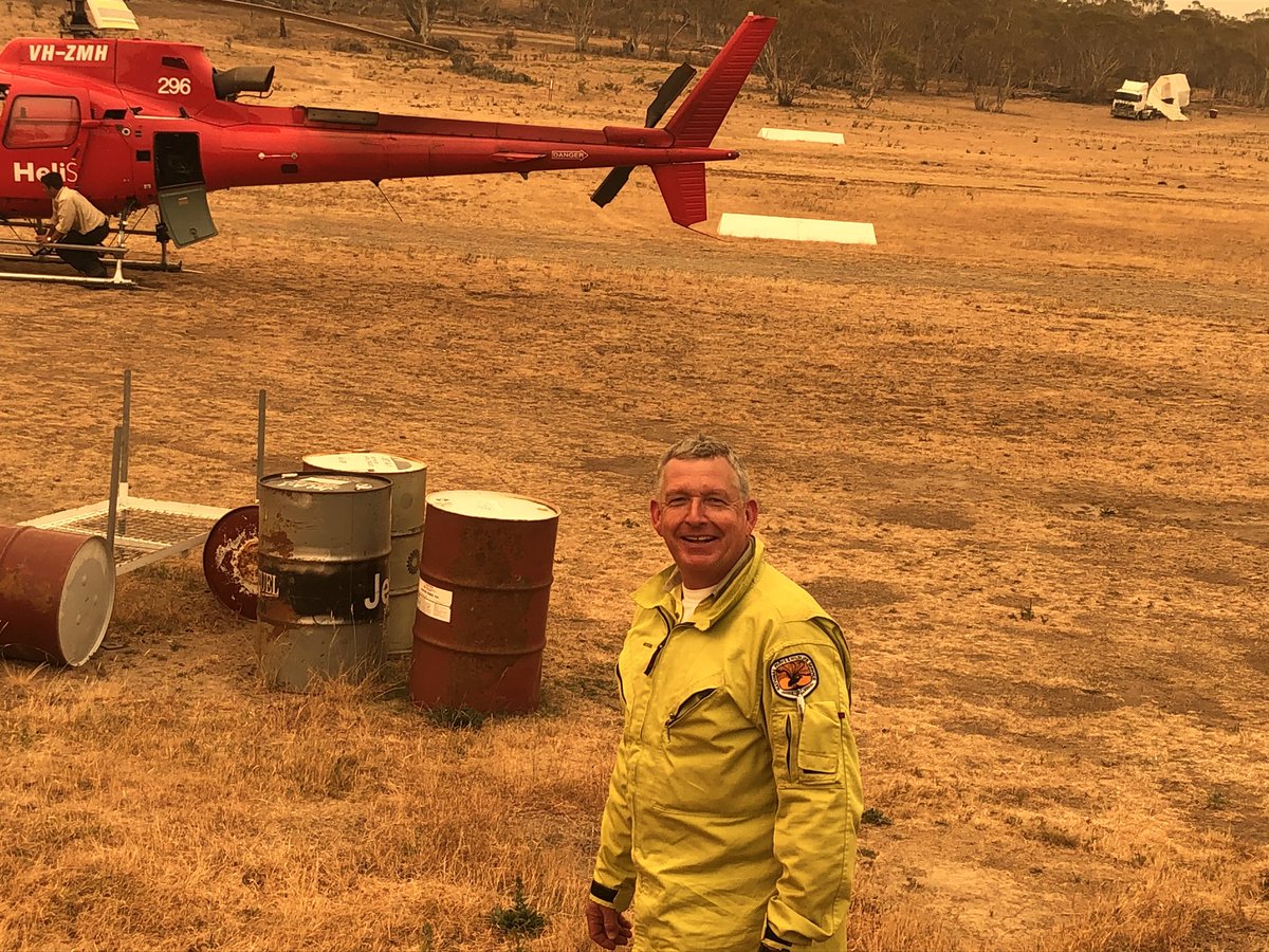
Big herd of brumbies visible from my evacuation chopper
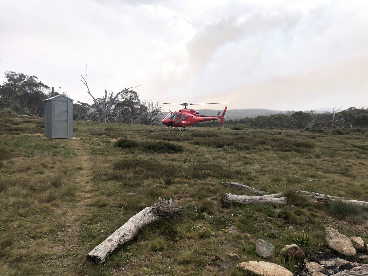
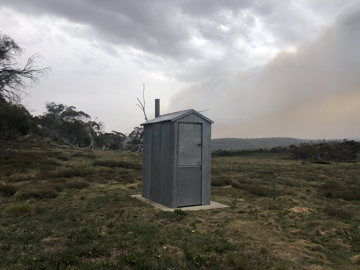
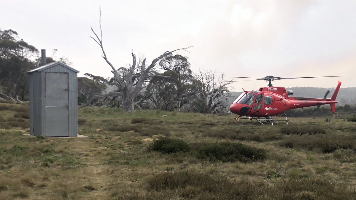
I was at a remote hut called Mackay’s Hut and knew the shit had hit the fan, so to speak, when it was raining black leaves and I saw this plume behind the outhouse. A fire came 80 km overnight from well beyond the mts. God bless Ian the NPWS guy and his pilot #AAWT
The fire in my area was caused by pyrocumulus clouds, my rescuers said. They’re clouds caused by a large fire which take on their own life with thunder and dry lightning, sparking more fires. This is Lake Jindabyne now (and how it usually looks). Town is thankfully not threatened
A few people have asked how I got out. Did I call emergency services? No. I spent dangerous afternoons on open valleys near water just in case. And I fastidiously kept to my trip log, which Parks had. They knew where to find me within about 10km. They’re champions #AAWT
The day I was helicoptered out of Kosciuszko National Park, my wife fled the south coast fires to safety in a nearby town. This is the house (belonging to family friends) she’s stayed in for 35+ summers, and was in yesterday morning before fleeing — and the old view out the back
I’d like to make a final comment on fires, having dodged them for nearly five weeks on the #AAWT. I made a point of asking graziers, 4WDers, Park Rangers, anyone I met, if they knew specific examples of greenies preventing back burning. The answer was always a firm no.
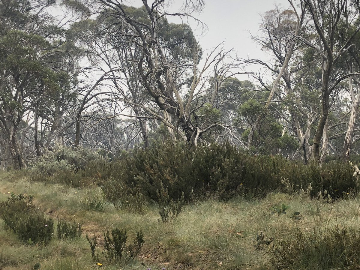
I’d like to close off this thread with some pics I didn’t share, and some thoughts on the #AAWT, which could and IMO SHOULD be as popular as America’s Appalachian Trail, but which is remote, hard to follow, oft overgrown, and only sporadically has distinctive yellow trail markers
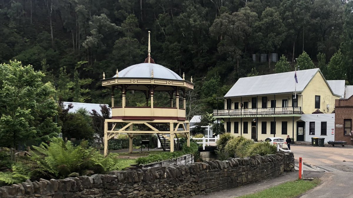
The #AAWT is not for beginners. To use a skiing analogy, it’s the equivalent of a long double black diamond run, though it starts comfortably enough at the rotunda in the exquisitely pretty former gold mining town of Walhalla, Victoria
The weather can and does do whatever it likes anywhere along the #AAWT in any season. The guy in the ski shop in Cooma, NSW, laughed when we hired snow chains on Dec 1. Here I was on Dec 3 nearing a food drop site in my dad’s car. Who’s laughing now?
The snow took three days to melt. Walking was excruciatingly slow in this period and it was cold and miserable. When it finally started melting, you could at least see the track on the Baw Baw plateau. Yes! And it was very pretty
But tougher challenges lay ahead on the northern side of the plateau. First, tree fall made the #AAWT track almost impossible to find and at times virtually impenetrable. Then came the steep valleys where you had to follow buried tracks up rough spurs. TBH I was despairing
But I made it. I got to my first food drop at sunset on the 6th day, having planned to waltz in around mid morning. My only #AAWT casualty thus far was a trekking pole
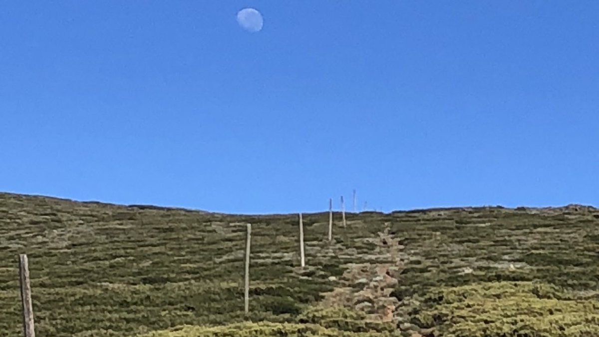
The 2nd and 3rd #AAWT weeks were all about the highest of High Country in the state of Victoria. There’s a line of snow poles to follow in the 50km or so between Mt Hotham and Mt Bogong. Just follow the poles. All 1300 of them.
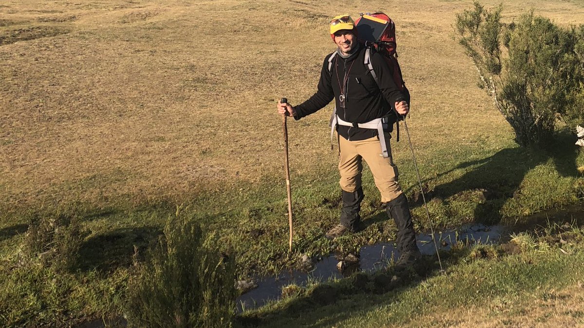
Then came crazy lower country between the Bogong High Plains and the NSW border. Water was a desperate struggle in this #AAWT area. I spent 30 mins filling a bottle on the only trickle of the day back on about Dec 20. For those interested I used purification pills, no filtration
On the border at Cowombat Flat, I sadly saw no cowombats, but I did meet a Kiwi bloke walking down to paddle the Murray from its first navigable point all the way to Sourh Australia, 2500km or so away. He took this pic of me straddling the infant Murray #AAWT
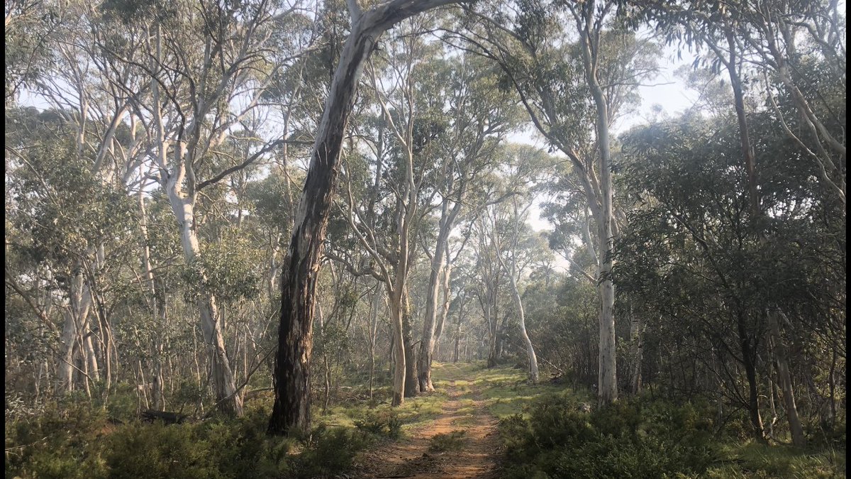
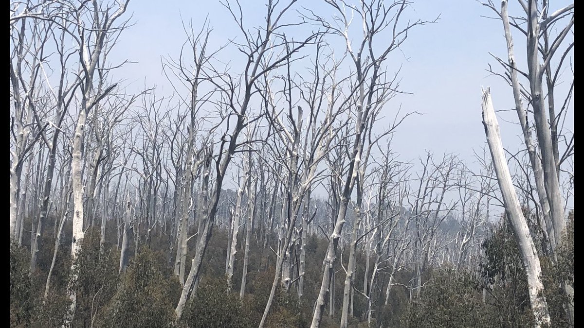
The walking from the border thru the Pilot Wilderness to Thredbo was undulating and easy to follow with ample water. I’d recommend this section to anyone. Sadly it’s now engulfed by at least four fires. This (pic 1) may soon turn to this (pic 2)
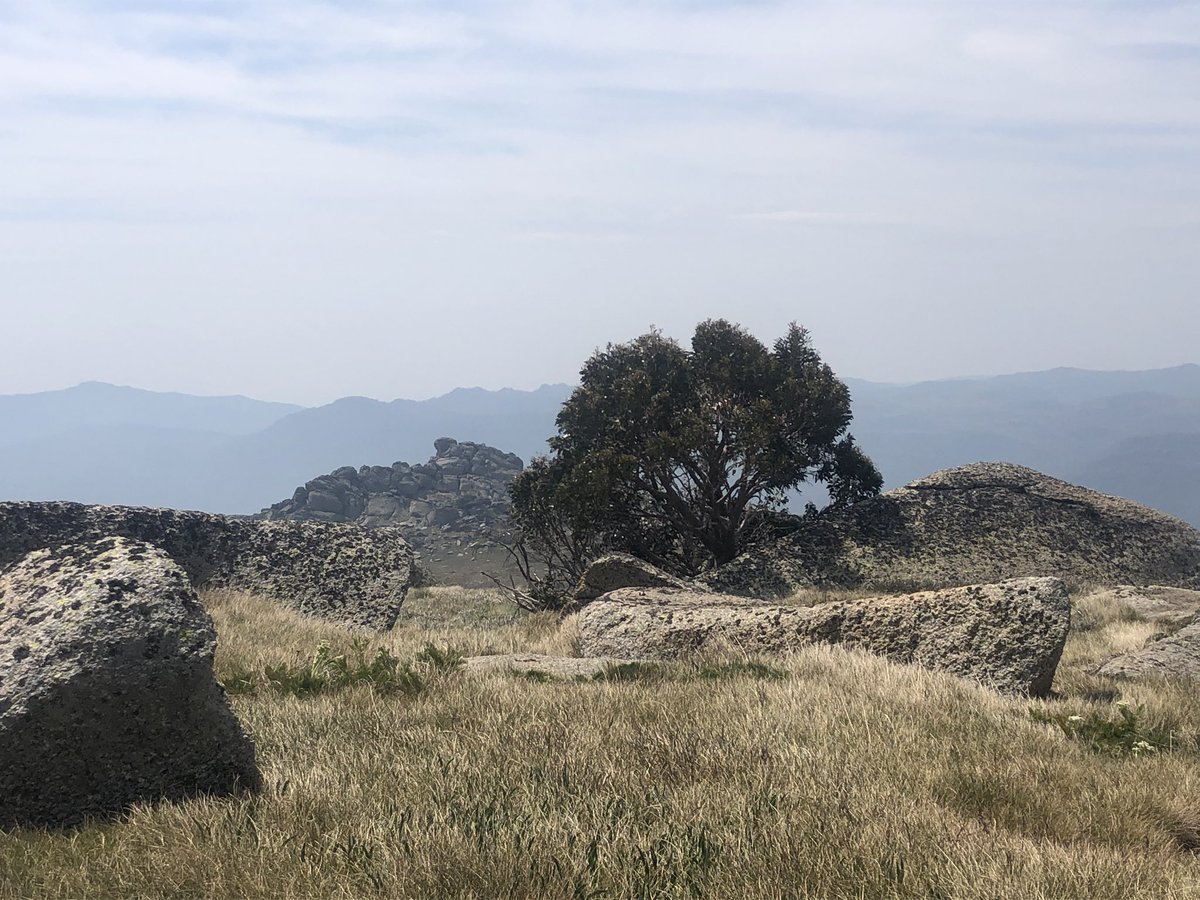
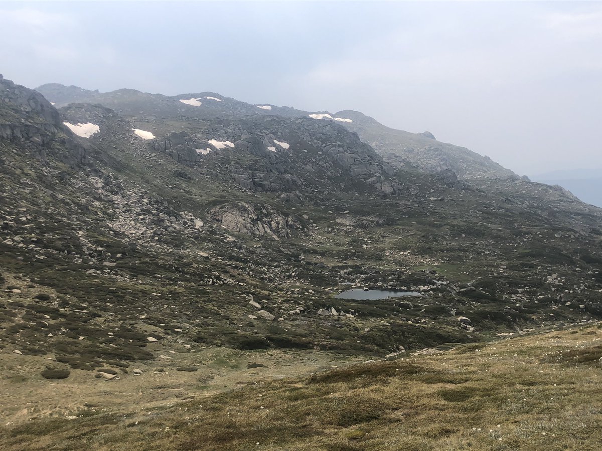
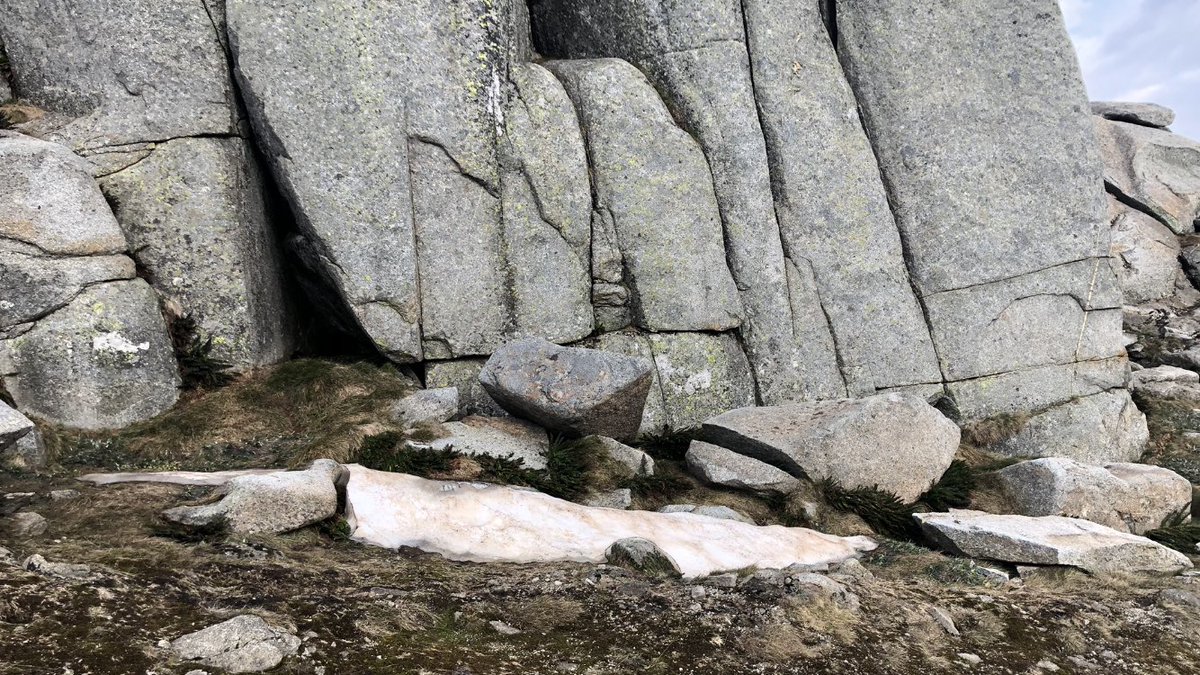
After Thredbo, the # #AAWT crosses Australia’s highest peaks, in the area imaginatively named “The Main Range”. Snow patches generally persist there till about Feb. I love the first pic. Can you tell which is snow and which is rock?
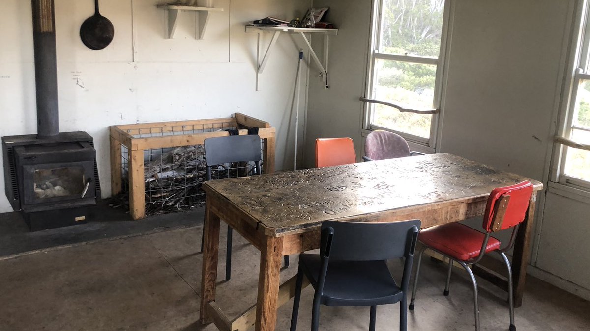
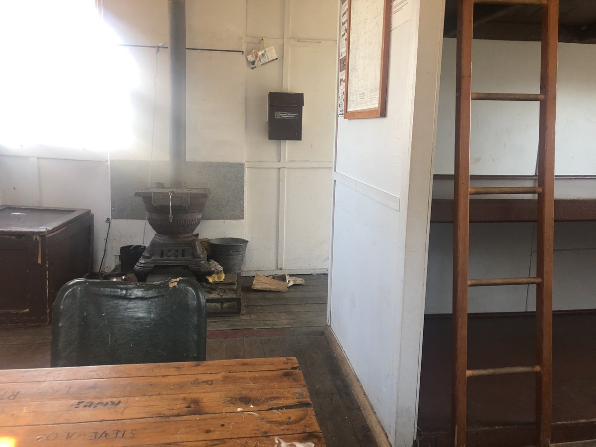
Lotsa huts after the Main Range, all of them in immaculate internal condition like Schlink and Valentine Huts here. Keen Kossie area and #AAWT hikers should all join and donate to the Kosciuszko Huts Association (KHA). These places are invaluable refuges in rough weather
Mt Jagungal is a place of great power and beauty. It is the only 2000m plus peak in Australia which is not part of the Main Range. This was my second last day on the #AAWT track. Smoke was about to colour the sunset
And then, as you know, dry lightning strikes brought fires directly to my area and I was choppered out to safety. I made a bit of a dadjoke about shit hitting the fan which I’m not sure everyone got. Maybe this pic of Mackay’s Hut outhouse and the heli rotor blades will help!

 Read on Twitter