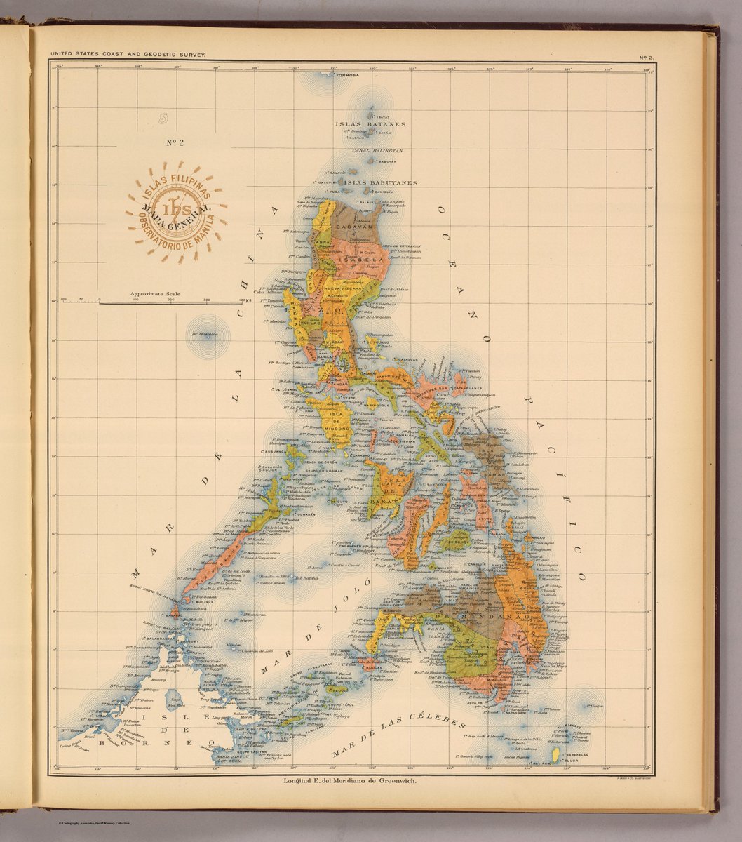
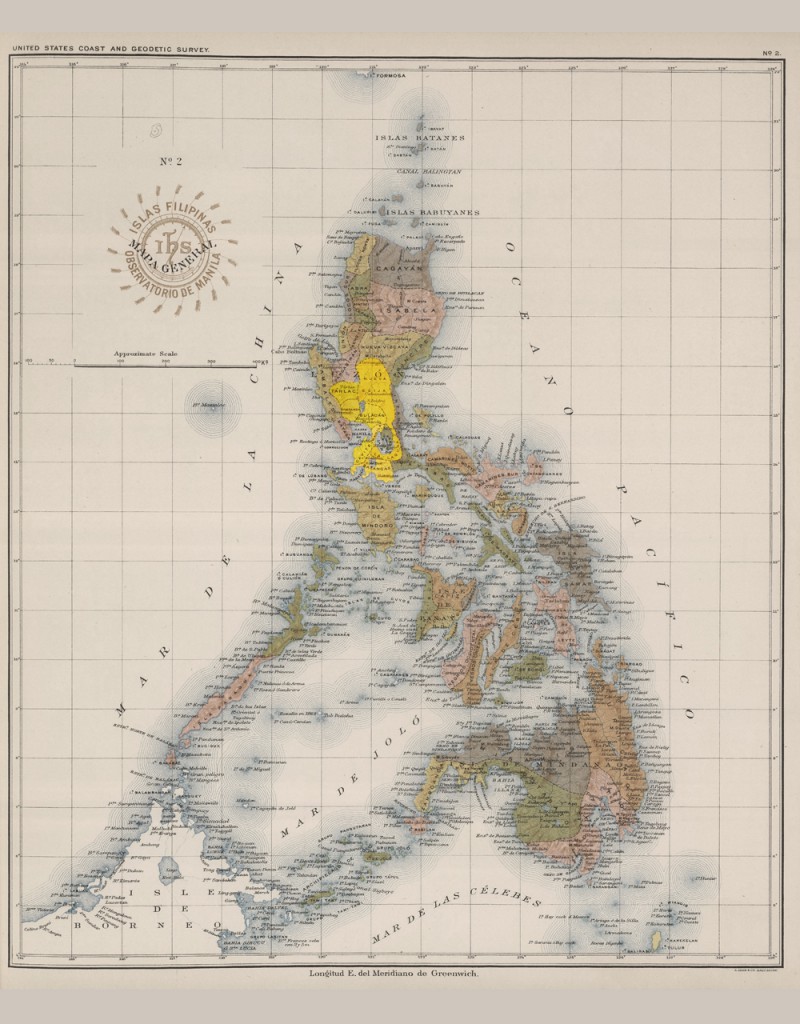
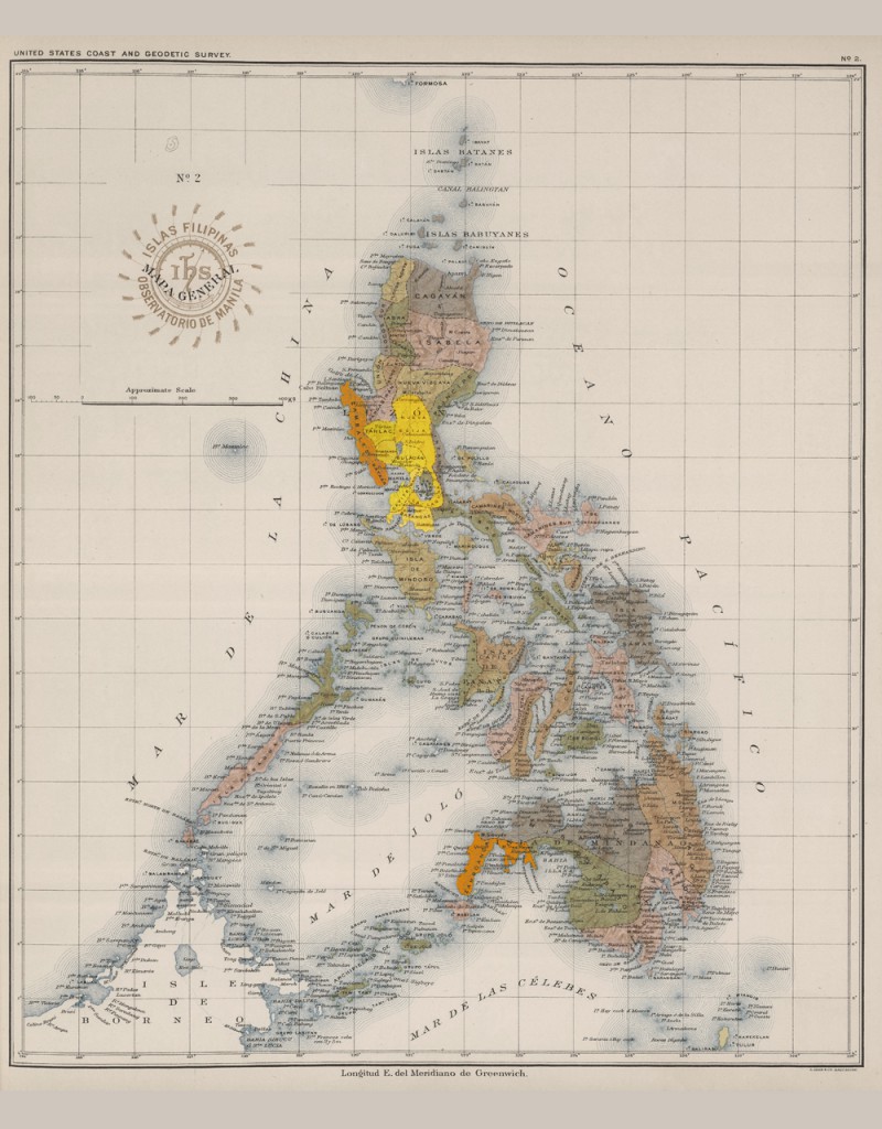
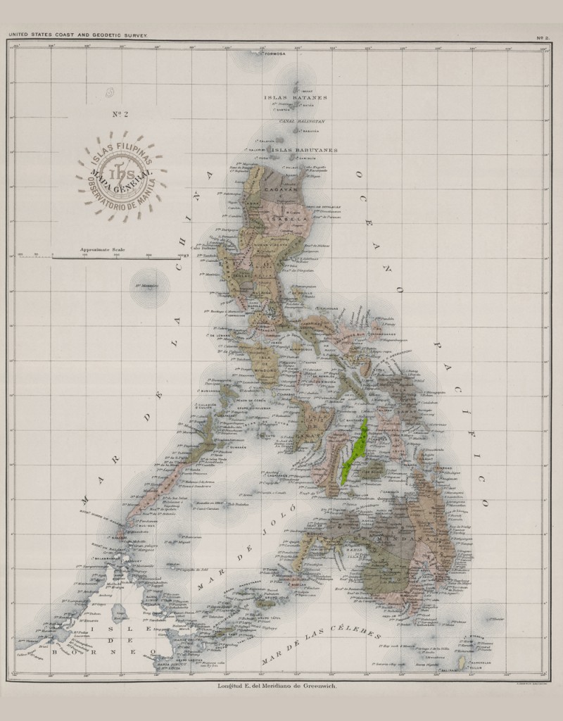
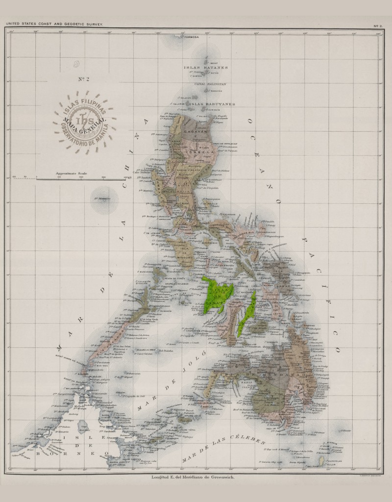
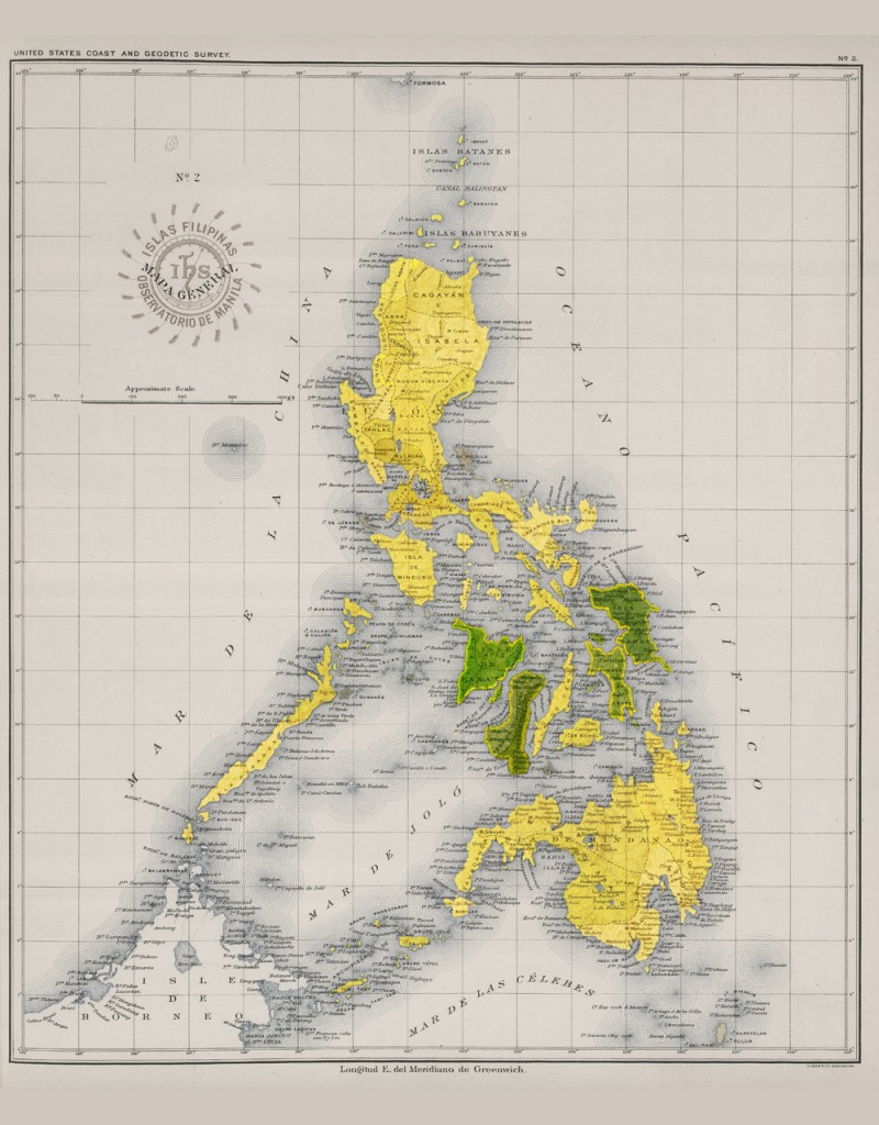
The political boundaries of the Philippines at the time of the Revolution against Spain, 1896. See provincial names and boundaries. ("Islas Filipinas Mapa General No 2, Observatorio de Manila 1899") #BonifacioDay
After the Pact of Biak-na-Bato, the first phase of the Revolution came to an end. Before it resumed, Cebu revolted against Spain in February, 1898.
In May-June 1898, Aguinaldo returned to the Philippines and declared the resumption of the Philippine Revolution (its second phase) and more provinces revolted.
First Ratification of the June 12 Proclamation of Independence, August 1, 1898. This was done by local councils upon instigation of Mabini.
Second Ratification by the Malolos Congress (yellow), of the Proclamation of Independence, September 29, 1898. The green areas indicate the Visayas, included in the ratification, but which also had their own governments.
Here is how all these maps, and others, come together: imagine a Philippines that included Palau. http://www.quezon.ph/2017/06/12/spot-ph-commentary-the-philippines-isnt-what-it-used-to-be/">https://www.quezon.ph/2017/06/1... #BonifacioDay

 Read on Twitter