I run into these comparative maps all the time—showing one territory superimposed over another—so I& #39;m gonna start dumping them all into this one thread.
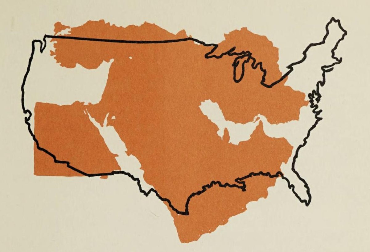
1. Middle East in orange over the US, 1962. https://archive.org/details/howpeopleliveinm00yate_0/page/47">https://archive.org/details/h...
1. Middle East in orange over the US, 1962. https://archive.org/details/howpeopleliveinm00yate_0/page/47">https://archive.org/details/h...
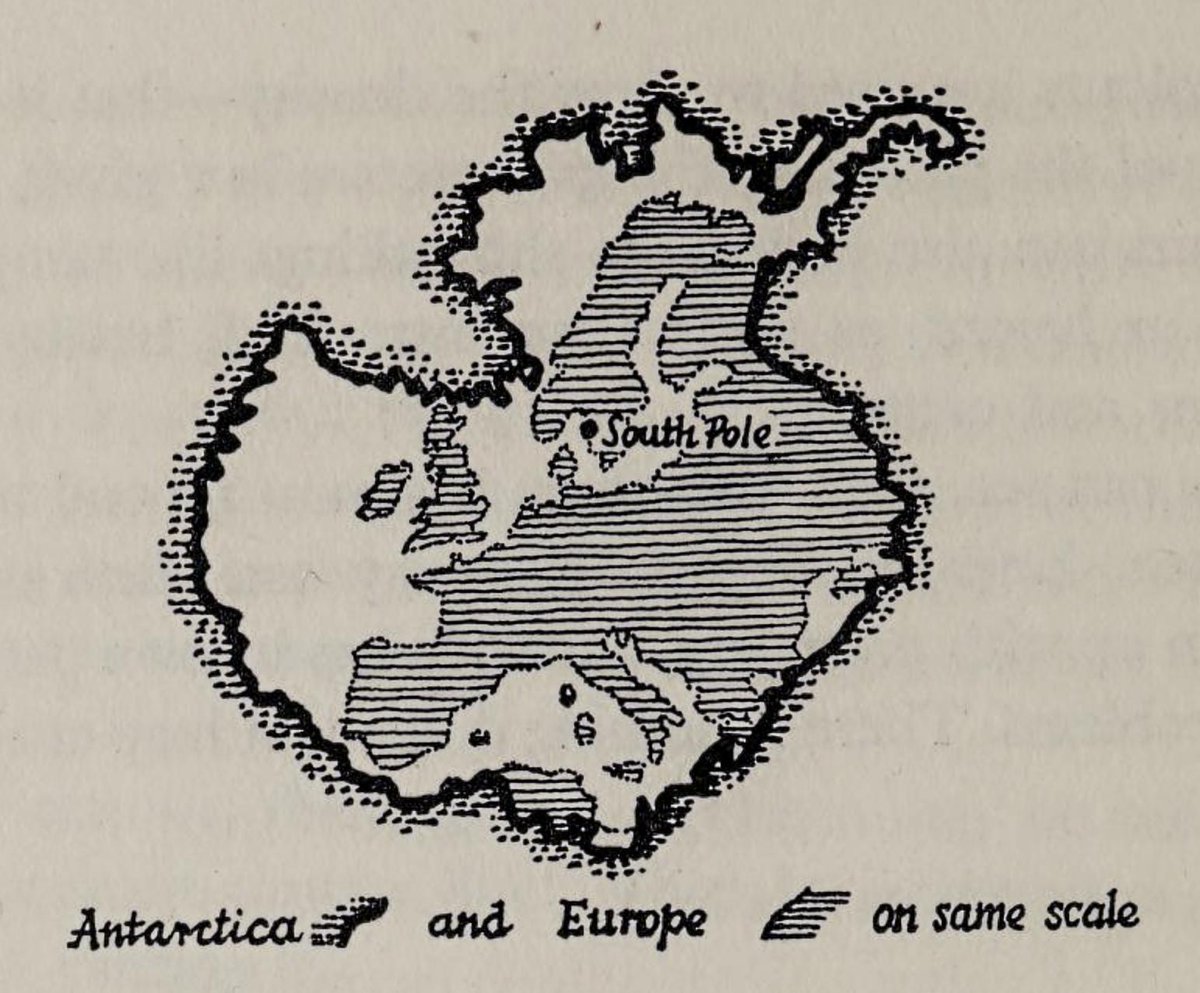
2. Antarctica and Europe on same scale, 1962. https://archive.org/details/exploringmaps00moor/page/74">https://archive.org/details/e...
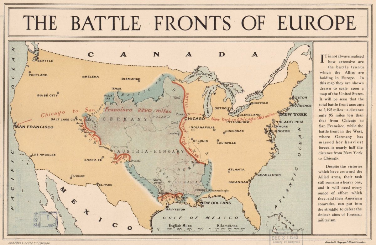
3. The Battle Fronts Of Europe, ~1917. https://www.loc.gov/resource/g5701s.ct007679/">https://www.loc.gov/resource/...
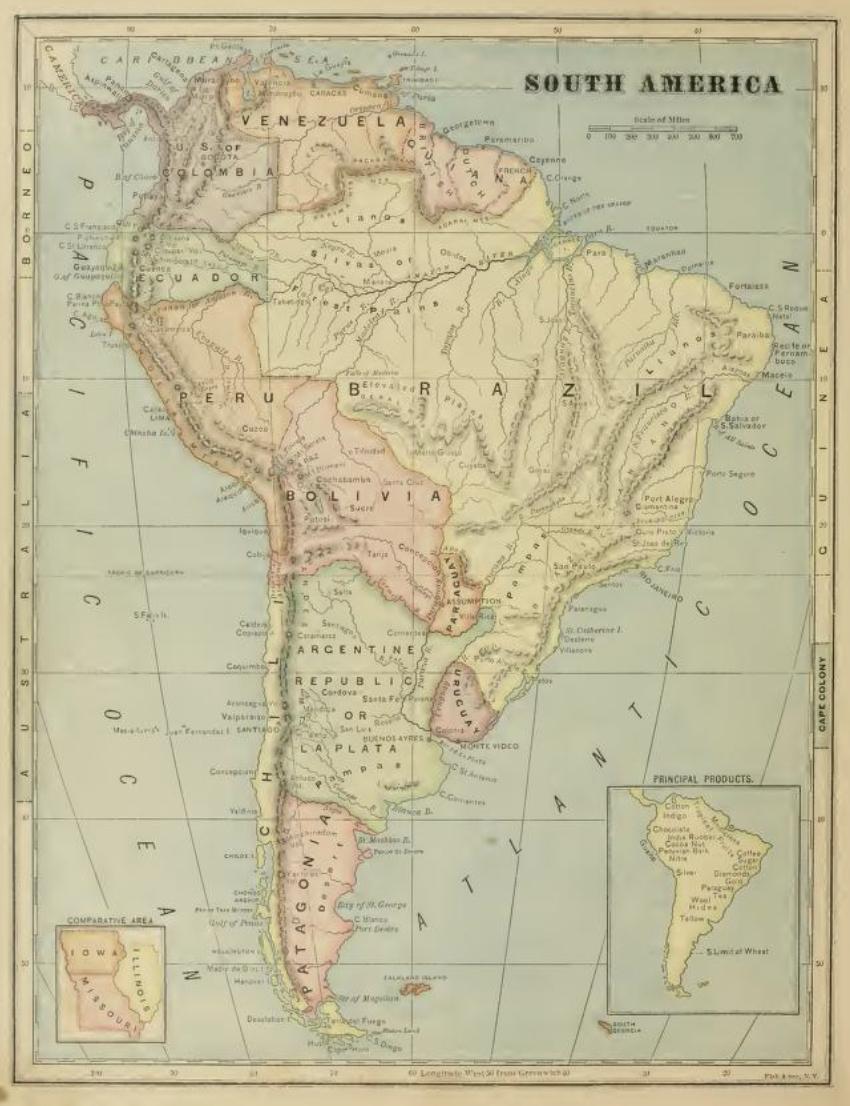
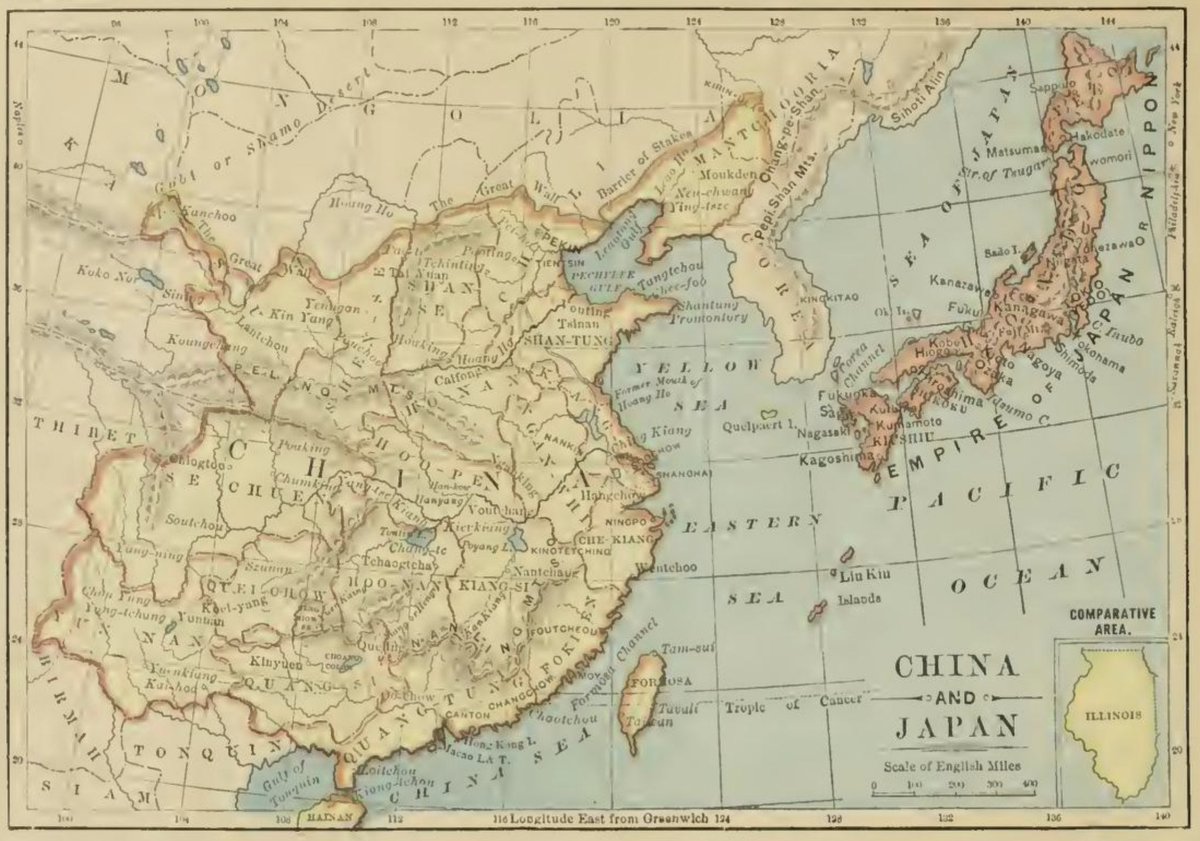
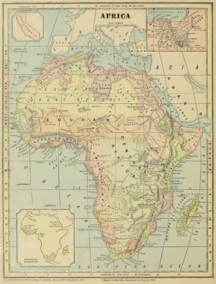
4. Lil tuckers: South America (and Iowa, Missouri and Illinois), China (and Illinois), Africa (and California), etc. 1877 https://archive.org/details/ost-geography-comprehensivegeo00mont/page/n25">https://archive.org/details/o...
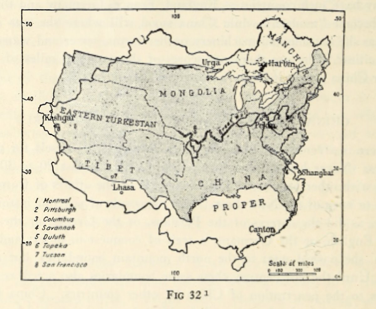
5. China v. US (1922). https://babel.hathitrust.org/cgi/pt?id=uiuo.ark:/13960/t5p87rf8k&view=1up&seq=200">https://babel.hathitrust.org/cgi/pt...
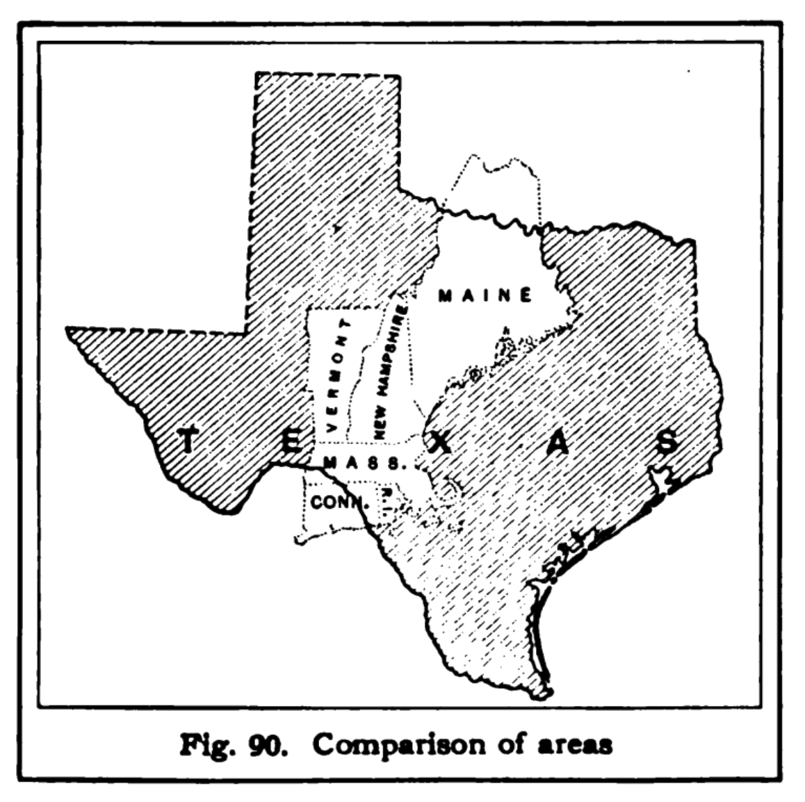
6. Comparison of areas https://babel.hathitrust.org/cgi/pt?id=hvd.32044097023220&view=1up&seq=58&size=125">https://babel.hathitrust.org/cgi/pt...
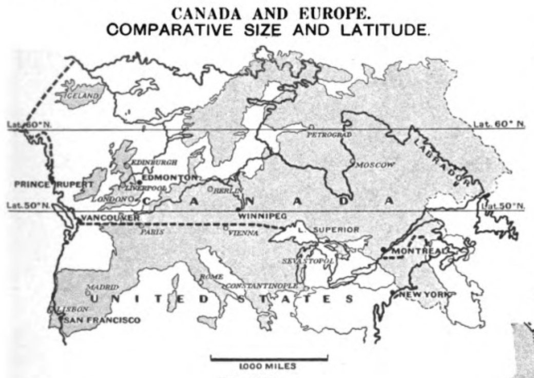
7. Canada and Europe https://babel.hathitrust.org/cgi/pt?id=inu.30000120486430&view=1up&seq=297">https://babel.hathitrust.org/cgi/pt...
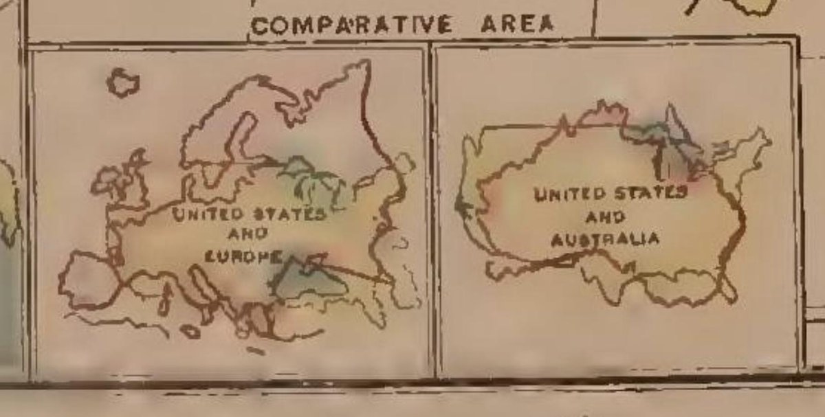
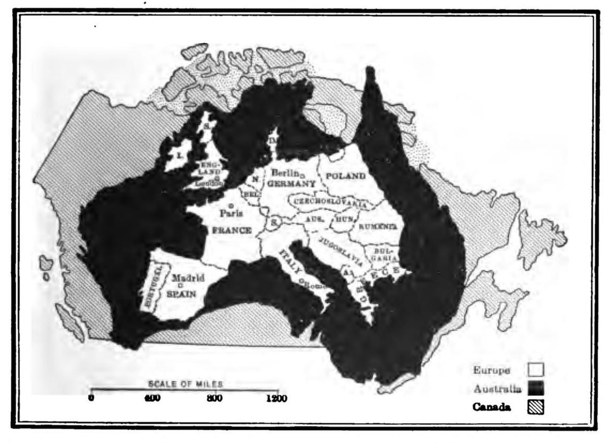
8. Canada, Australia and Europe https://archive.org/details/geographicaland02allegoog/page/n256">https://archive.org/details/g...
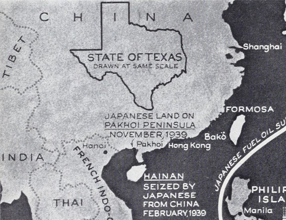
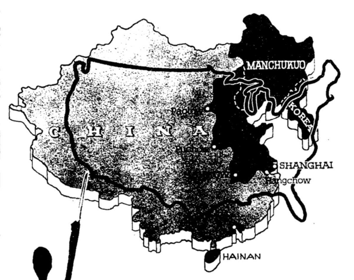
9. Texas on China https://archive.org/details/life07octluce/page/n946">https://archive.org/details/l...
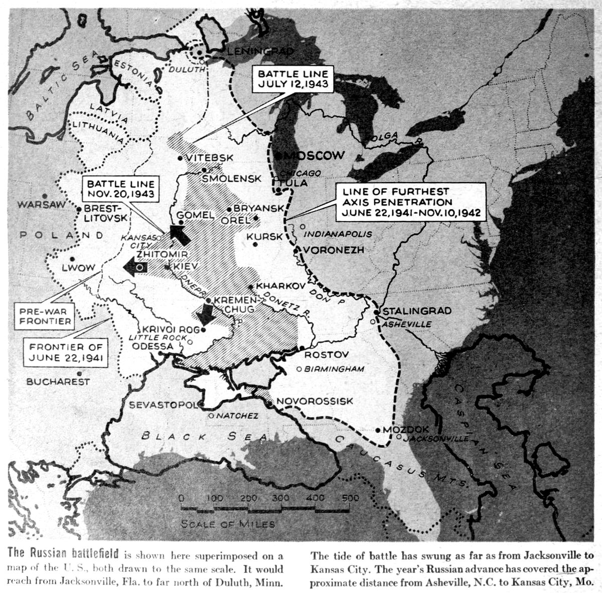
10. The Russian battlefield is shown here superimposed on a map of the U.S. (1943) https://archive.org/details/life15octluce/page/n1077">https://archive.org/details/l...
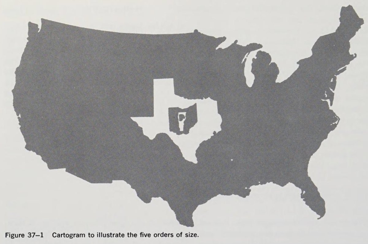
11. Contiguous U.S., Texas, Ohio, Vermont and (a blobby thing that could be) Rhode Island. https://archive.org/details/geographyfactors0000whit/page/606">https://archive.org/details/g...
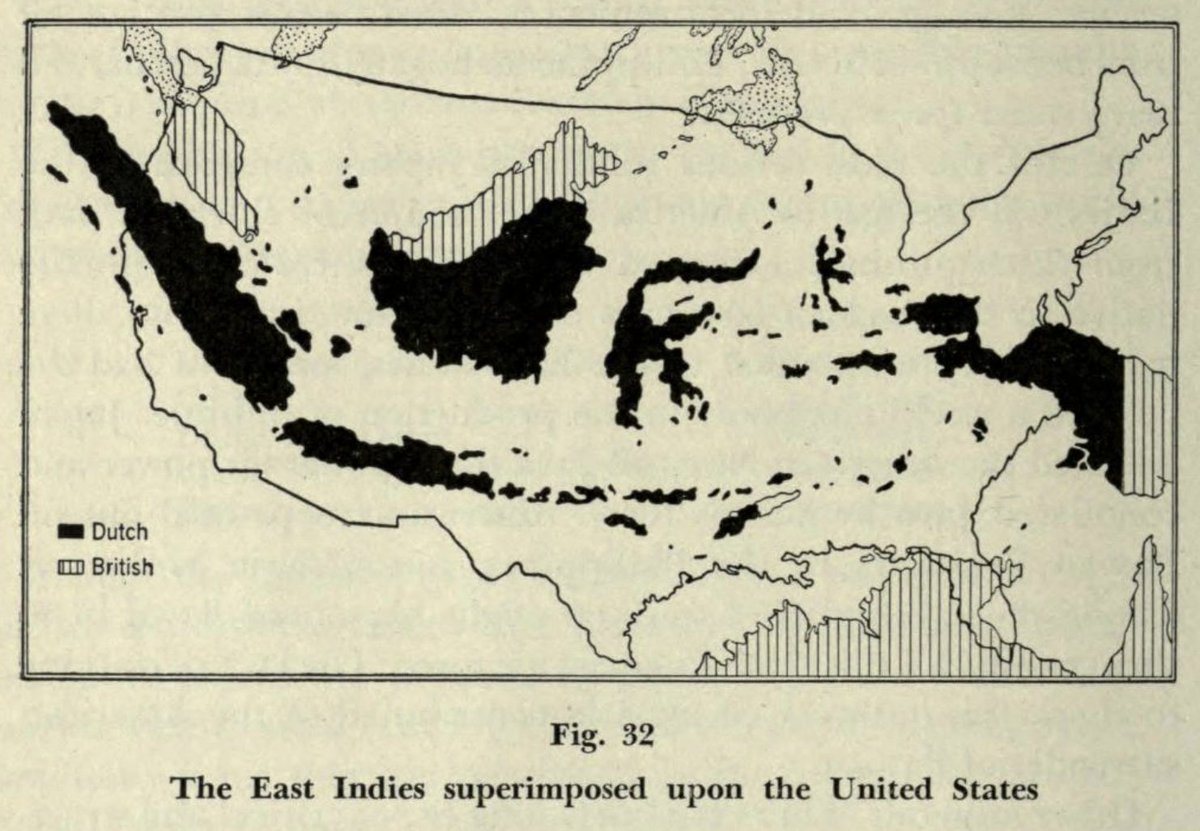
12. The East Indies superimposed upon the United States. https://archive.org/details/humangeographyin00rennrich/page/106">https://archive.org/details/h...
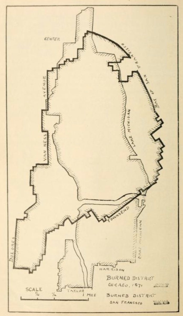
13. This one& #39;s a bit different. Typically these comparative graphics rely on familiar geographies. In this case it& #39;s mostly about size. Areas burned in Chicago and San Francisco fires. https://archive.org/details/historyofearthqu00aitk/page/278">https://archive.org/details/h...
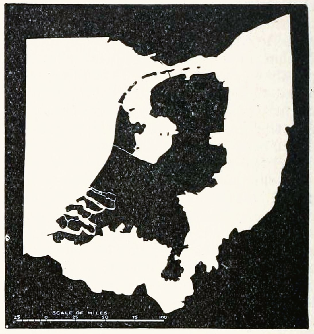
14. The Netherlands and Ohio, 1901. https://archive.org/details/nationalgeograph121901nati/page/220/mode/2up">https://archive.org/details/n...
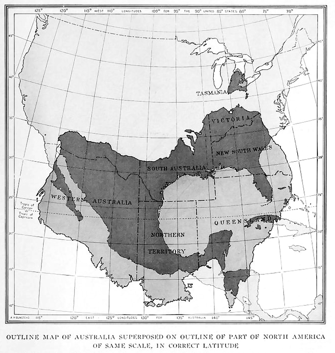
15. Outline map of Australia superimposed on outline of part of North America of same scale, in correct latitude. https://archive.org/details/nationalgeograph30nati/page/476">https://archive.org/details/n...

 Read on Twitter