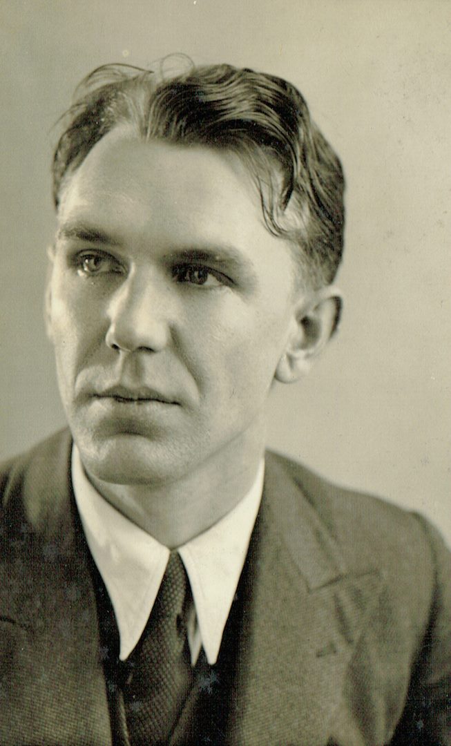
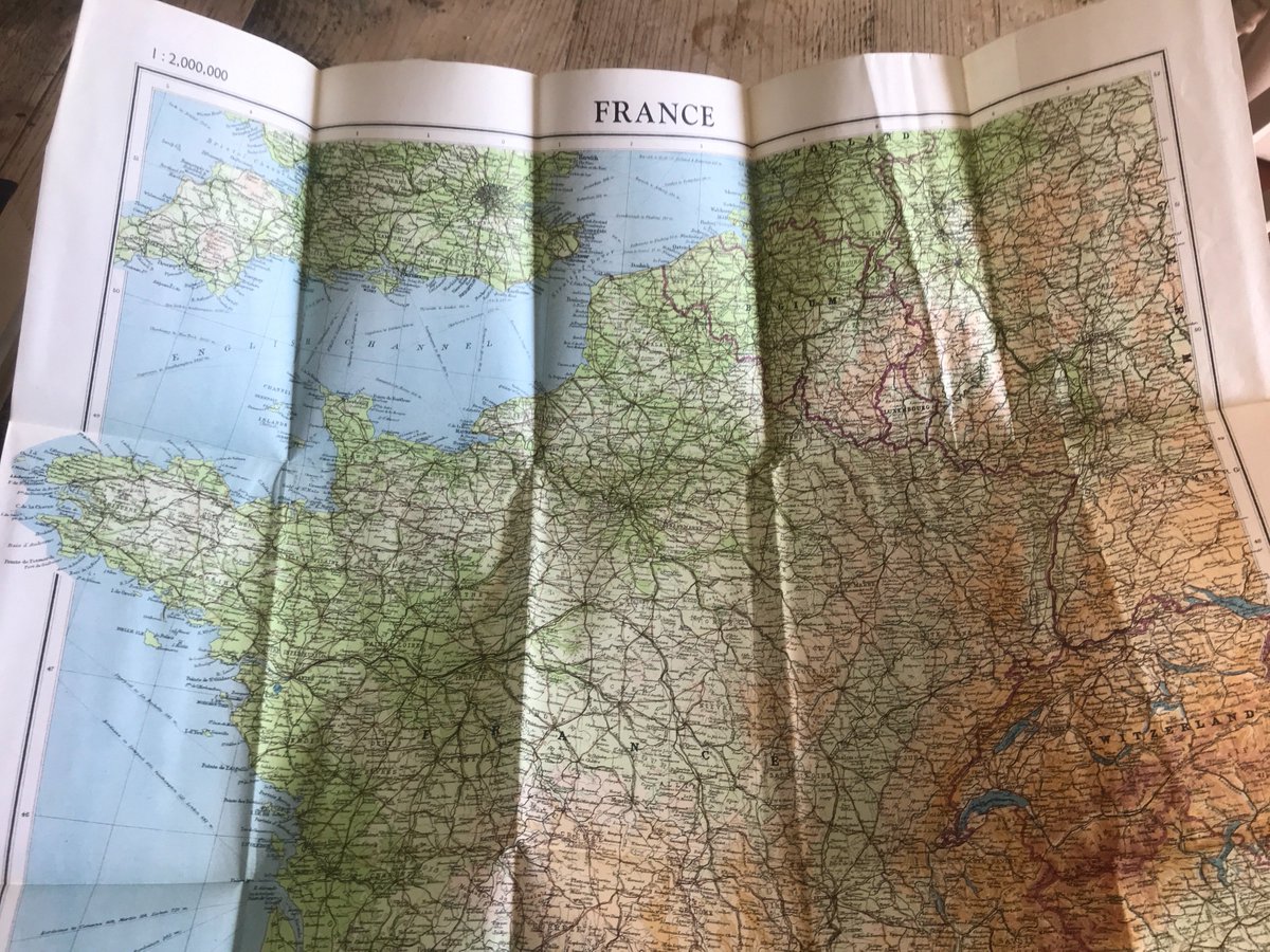
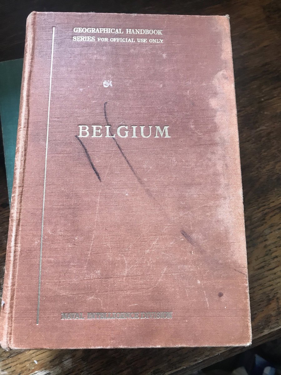
To celebrate #DDay75, I& #39;m posting "artefacts" each day from my father, Dr Ronald Avery& #39;s papers from Combined Operations. He worked closely on #DDay planning, as Head of Section of Naval Intelligence for France, Holland & Belgium, & HQ Establishment Officer to Lord Mountbatten.
(He was also a passionate European, spoke several languages, and would have been incandescent with rage at the appropriation of his & his colleagues& #39; war work by our current crop of fascists. See thread about his literal Nazi punching in the 1930s: https://twitter.com/AnneLouiseAvery/status/1056509516022534150)">https://twitter.com/AnneLouis...
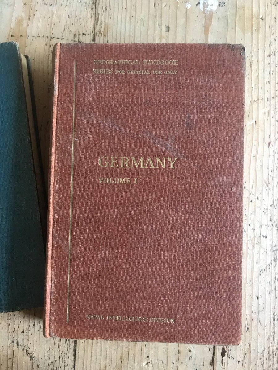
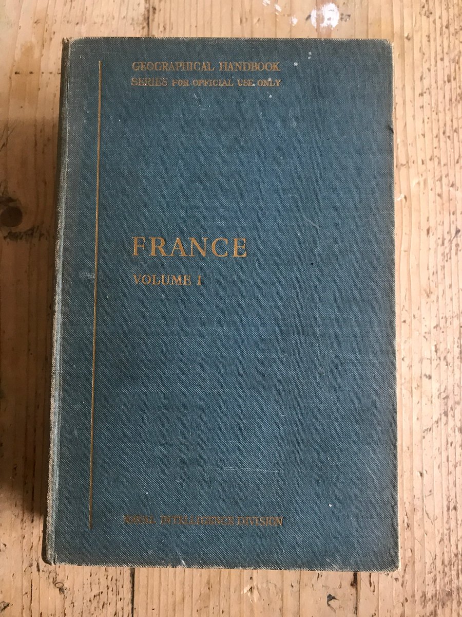
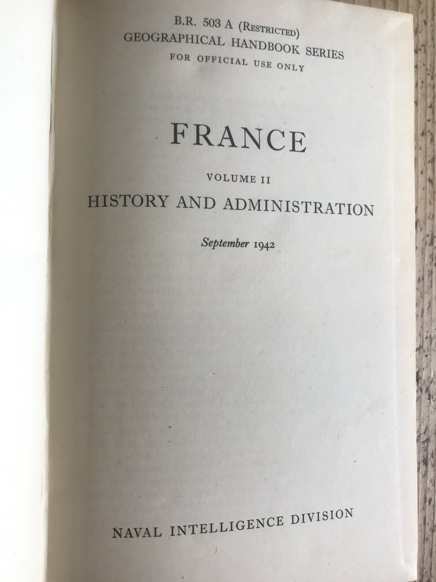
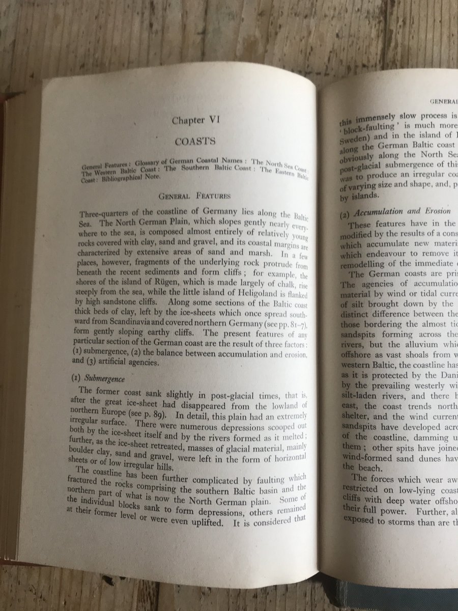
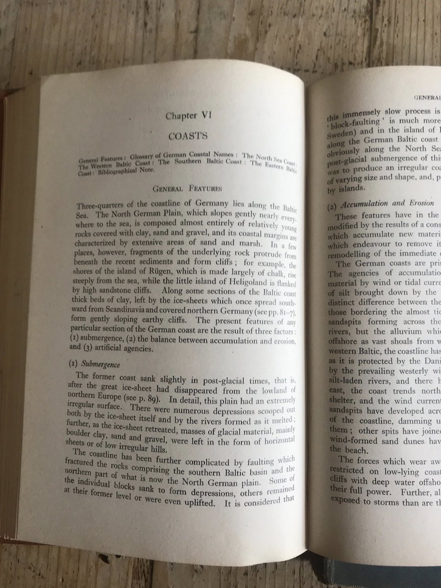
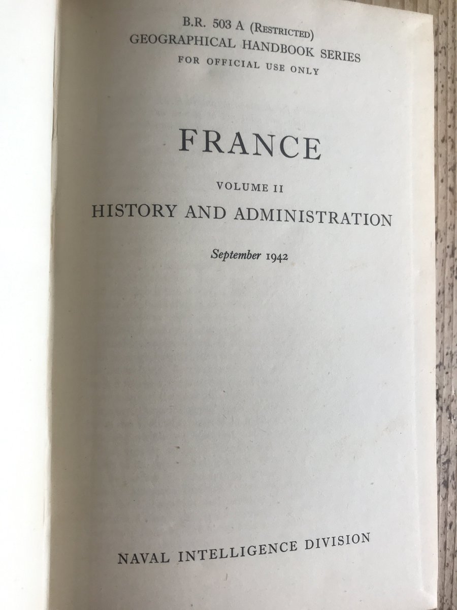
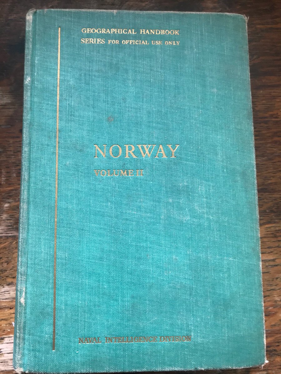
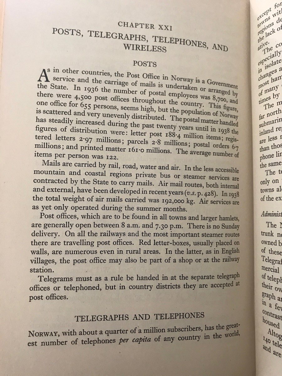
Today& #39;s objects are a collection of books used heavily for #DDay planning in Naval Intelligence, used by my Dad, Graham Greene, Philby, Fleming et al. They cover all relevant countries within the theatre of war - France, Germany, Holland, Norway, Denmark etc.
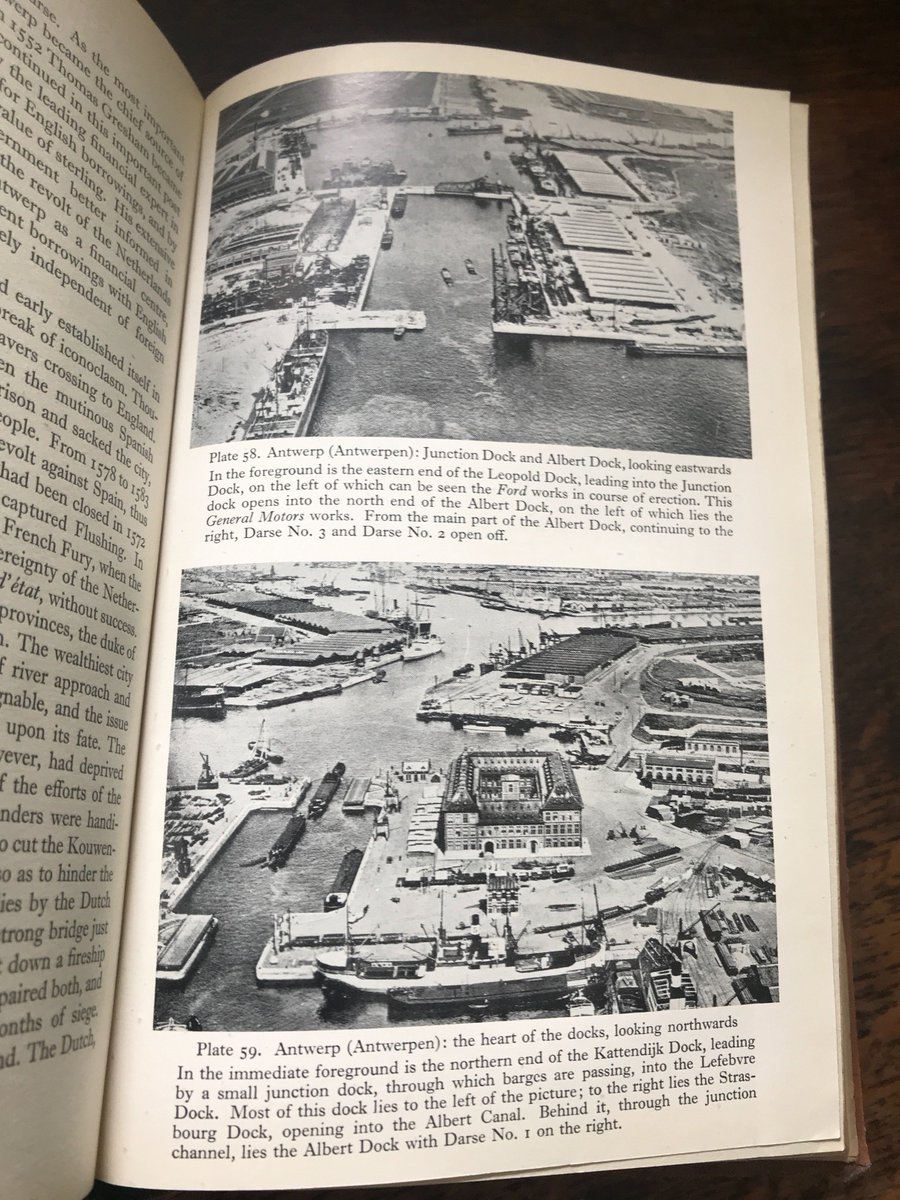
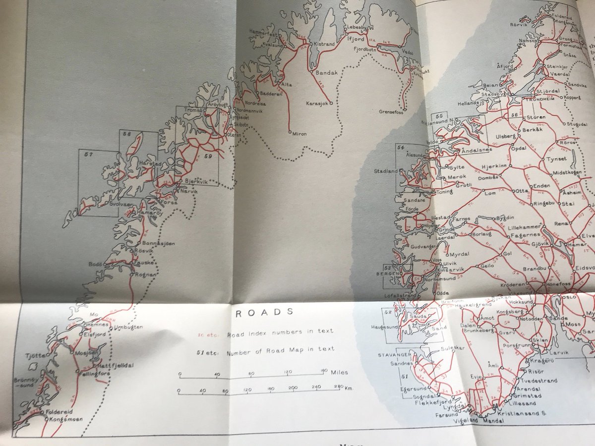
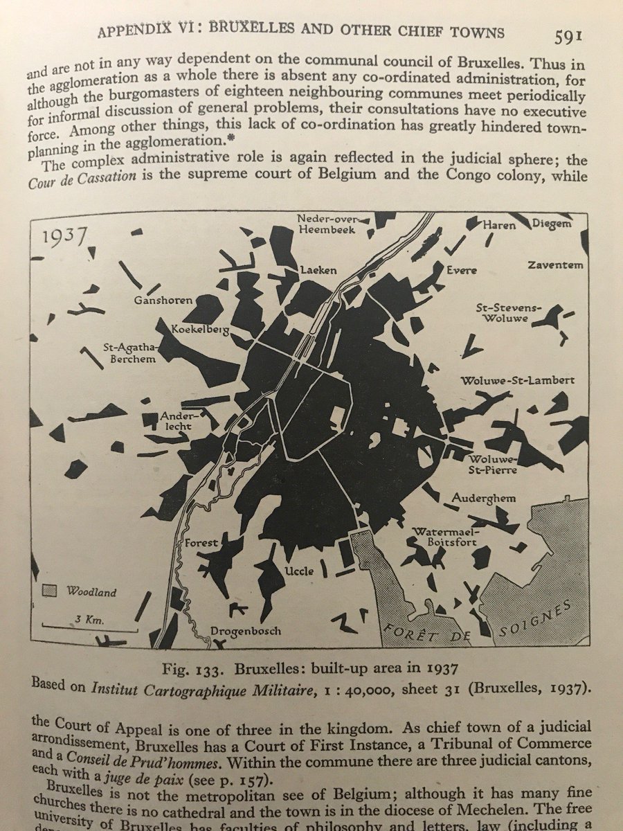
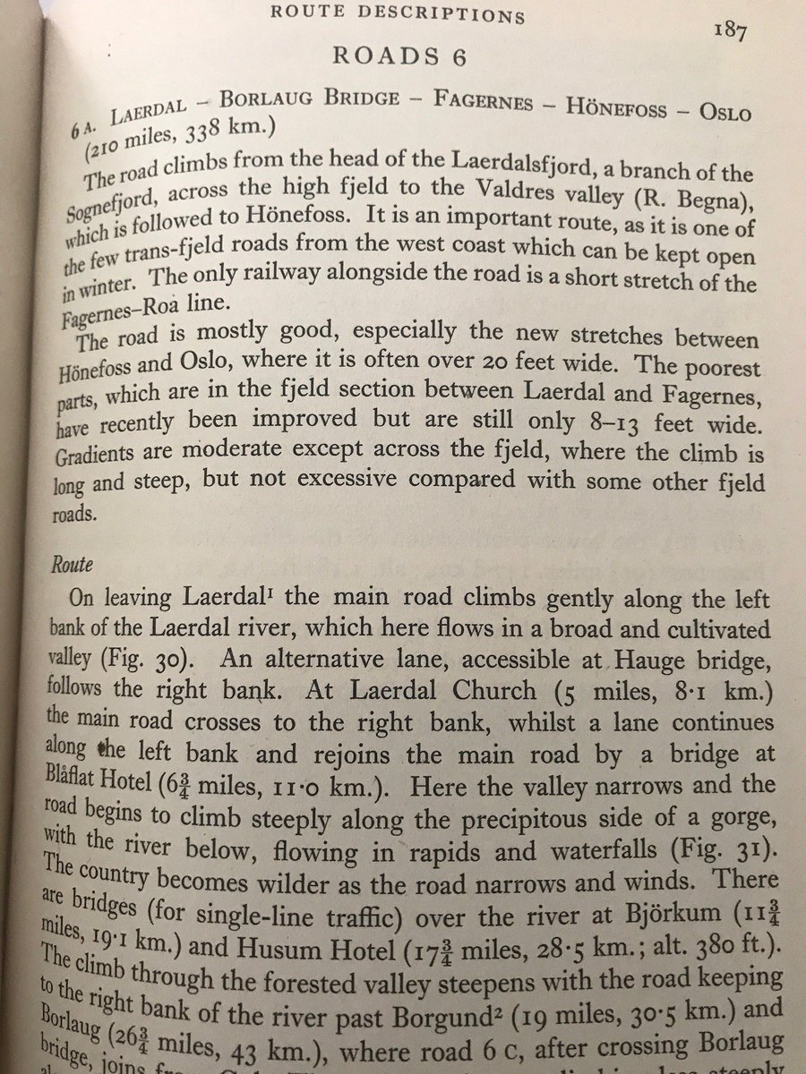
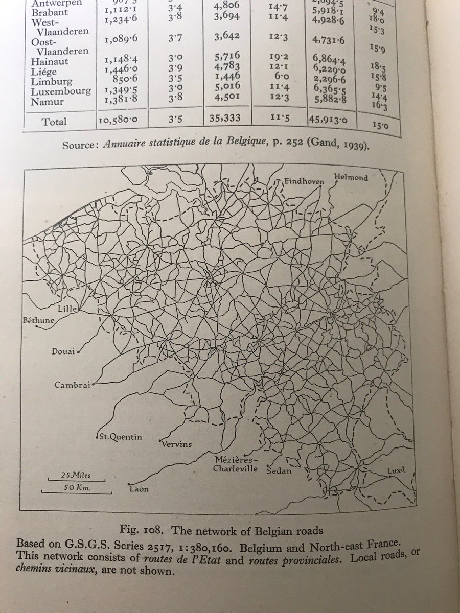
Each work covers history, politics, industry, population, with a particular emphasis on topography and communication networks - swift, useful summaries of the details needed for invasion planning - bridges, docks, rivers, ports, coastlines, road systems, canals. #DDay75
The countries each have a number of dedicated volumes, which are copiously, rigorously illustrated with photographs, charts, diagrams, and maps, of the country as a whole, specific areas and key concerns, such as railway stations or navigable rivers. #DDay75
I love these books-they represent a key set of working tools within the hive of Naval Intelligence - without this kind of detailed, layered knowledge to hand, terrible mistakes could so easily be made, lateral solutions missed, with potentially catastrophic consequences. #DDay75

 Read on Twitter