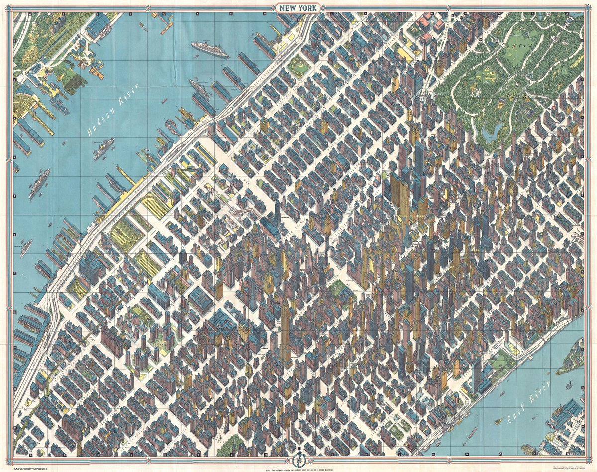
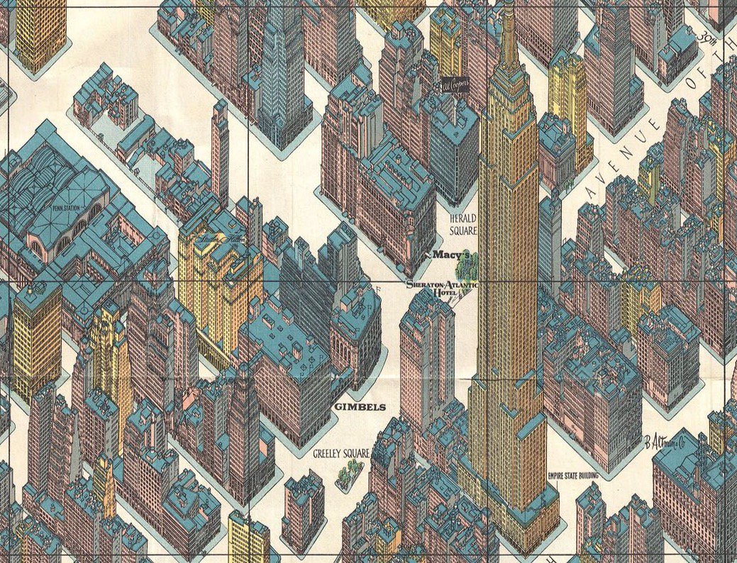
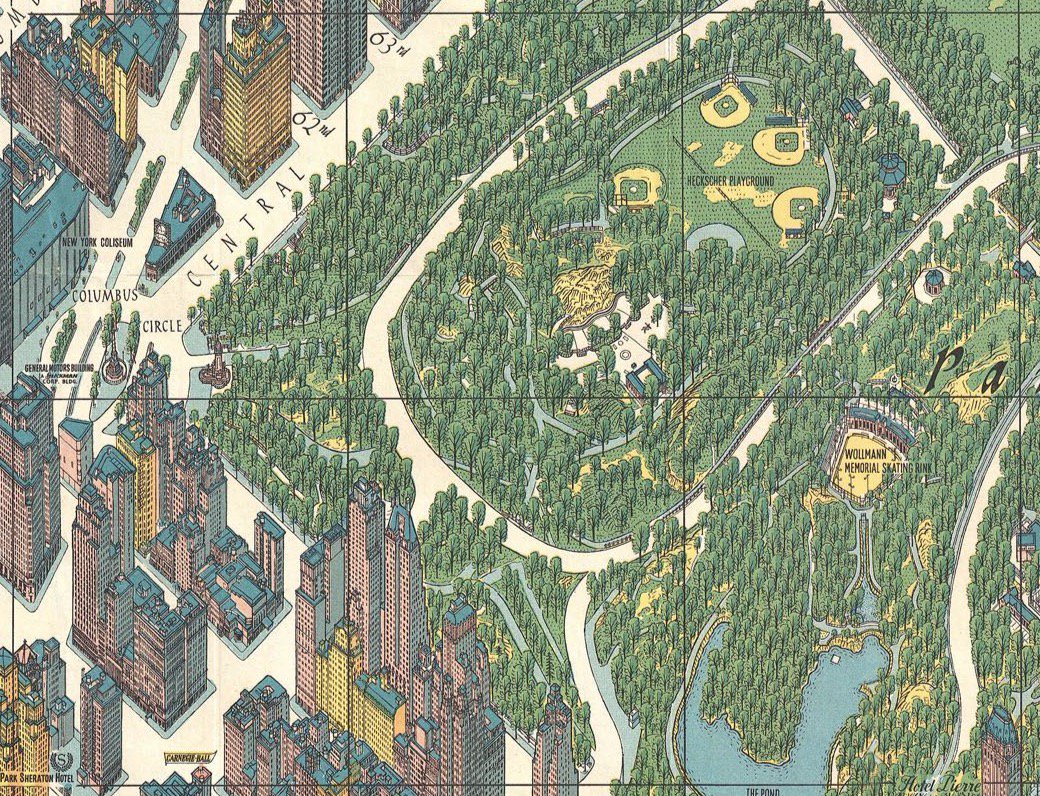
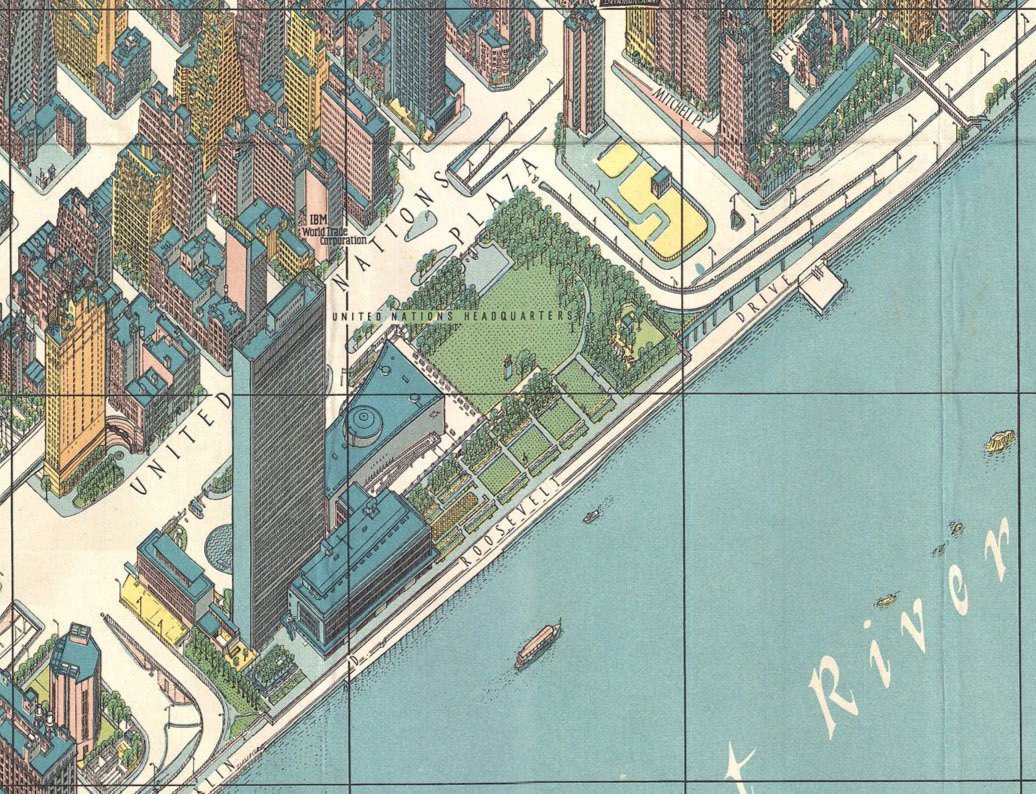
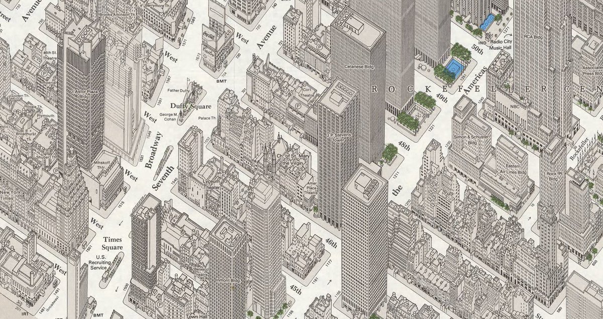
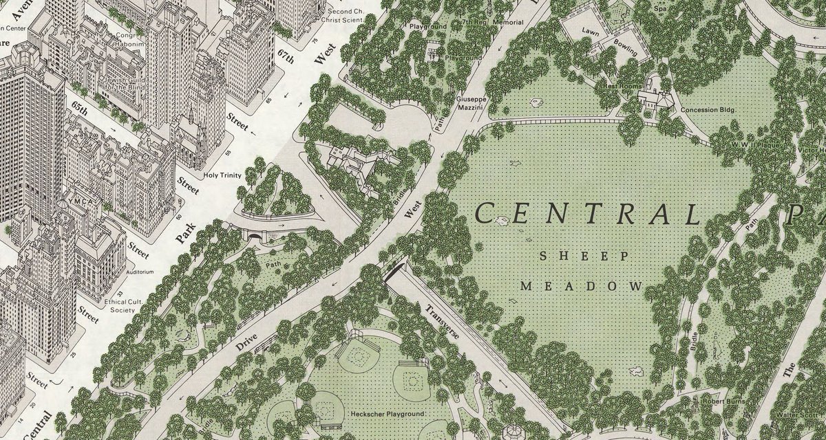
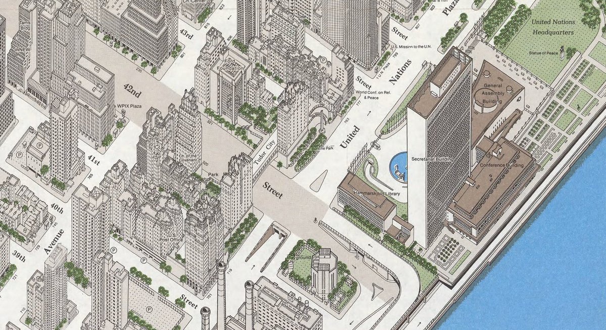
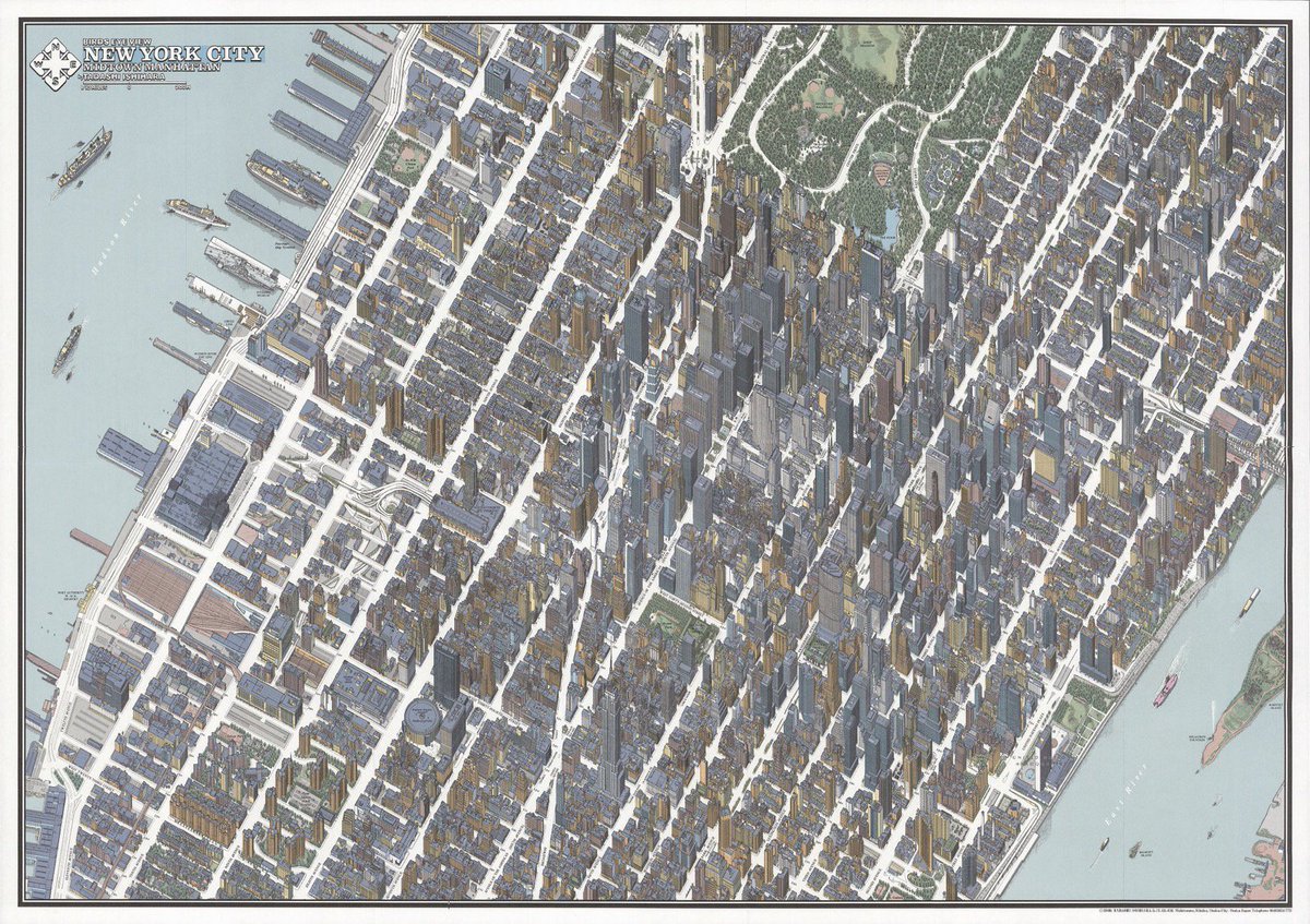
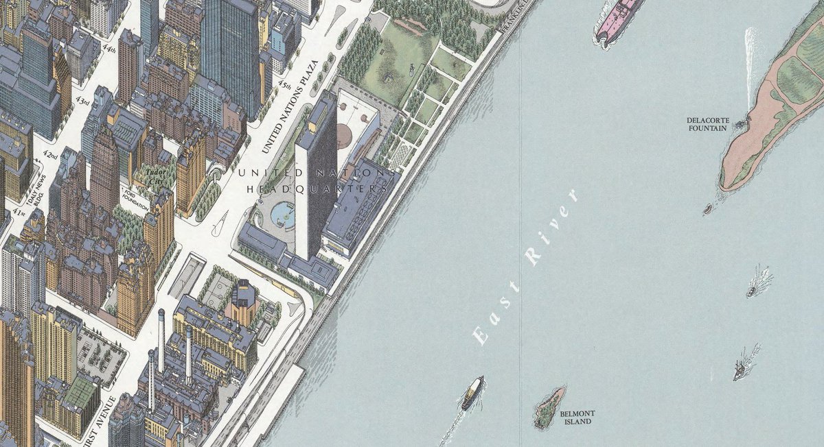
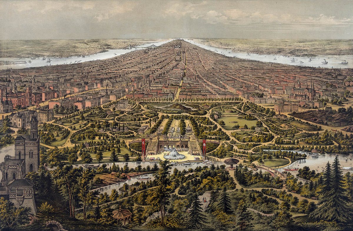
Huge zoomable version of it here: https://www.geographicus.com/P/AntiqueMap/NewYorkGuide-bollmann-1963">https://www.geographicus.com/P/Antique...
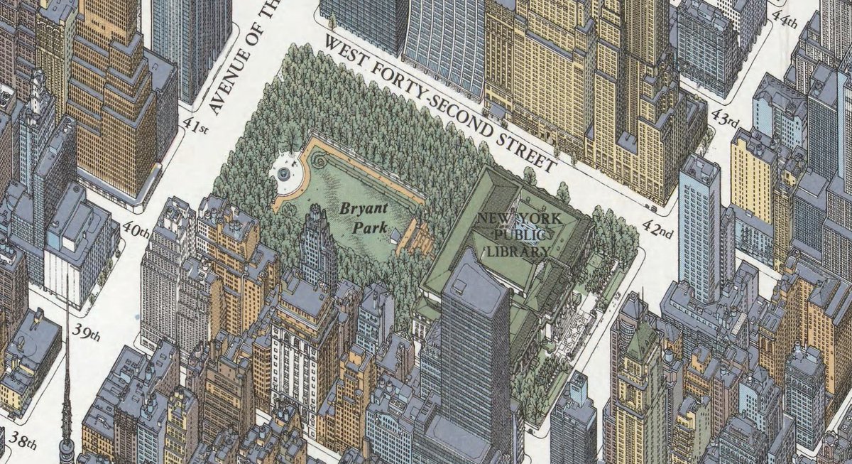
Big one of that here: https://www.davidrumsey.com/luna/servlet/detail/RUMSEY~8~1~272423~90046212:Birds-Eye-View,-New-York-City,-Midt">https://www.davidrumsey.com/luna/serv...
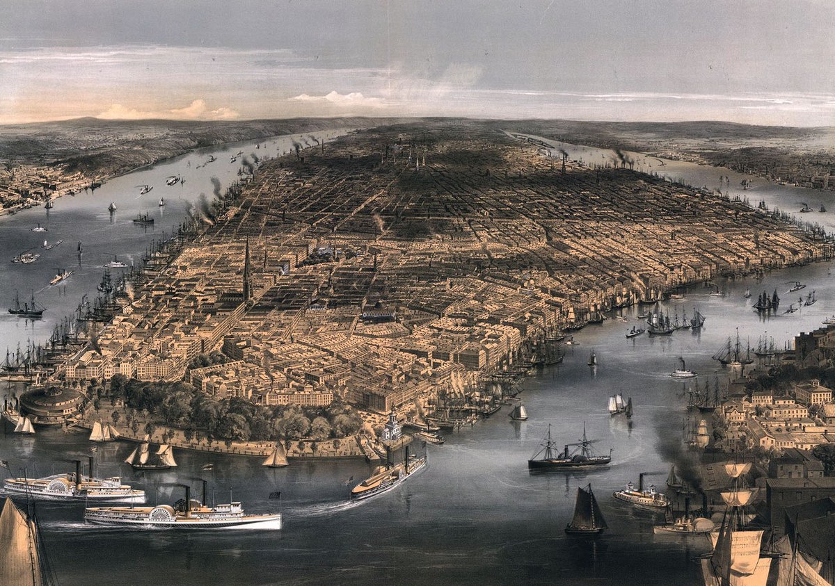
In summary: I’ve been reading Paul Cohen’s excellent Manhattan in Maps. https://amzn.to/2JzJbuD ">https://amzn.to/2JzJbuD&q...
Lots more of this sort of thing can be found in @codex99’s excellent series of blog posts on mapping New York. http://www.codex99.com/cartography/108.html">https://www.codex99.com/cartograp...
Also @nypl currently have an exhibition, Picturing the City: Illustrated Maps of NYC, that looks all sorts of great (hat tip to @ninastoessinger). https://www.nypl.org/events/exhibitions/picturing-city-illustrated-maps-nyc">https://www.nypl.org/events/ex...

 Read on Twitter